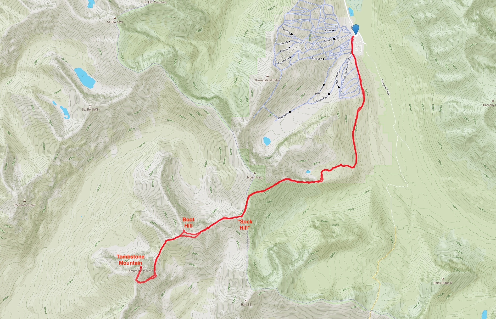
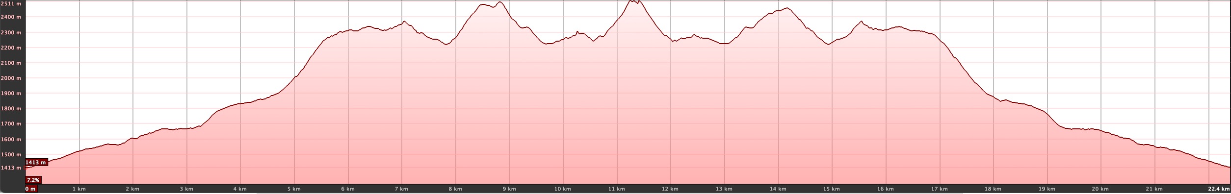
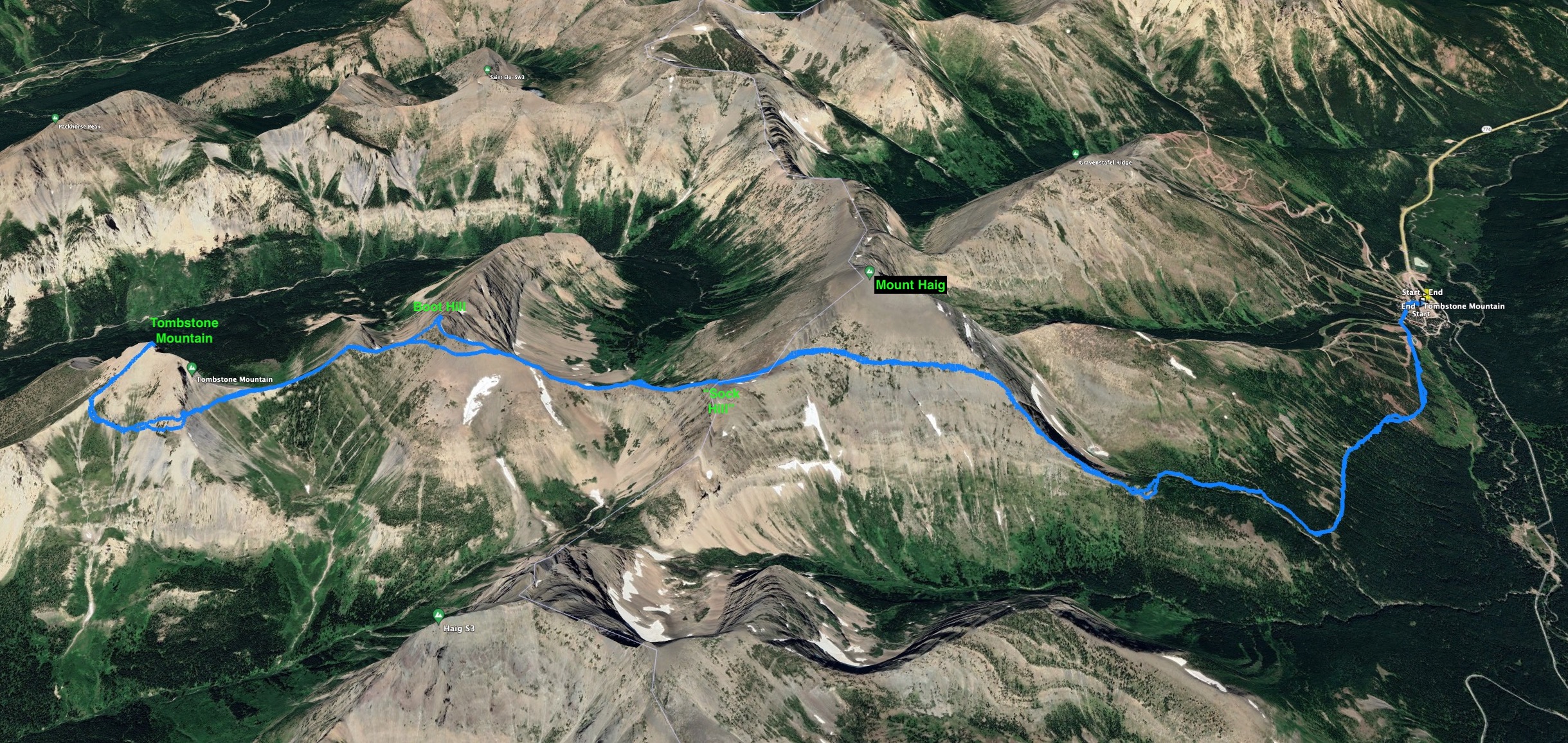
Boot Hill and Tombstone Mountain are featured in Nugara’s More Scrambles in the Canadian Rockies 3rd ed. as potential extensions on a trip to the summit of Mount Haig. The whole trip involves a great deal of gain, loss, and re-gain of elevation resulting in 2650 m of total ascent by Nugara’s estimation. Since I’d already climbed Haig in 2019, I decided to try Vern Dewit’s route which traversed from Haig’s east ridge to the southern col. This avoided roughly 300m of ascent on both the outward and return journey. Since the most of the group I was hiking with had also previously summited Haig this was everybody’s preferred plan.
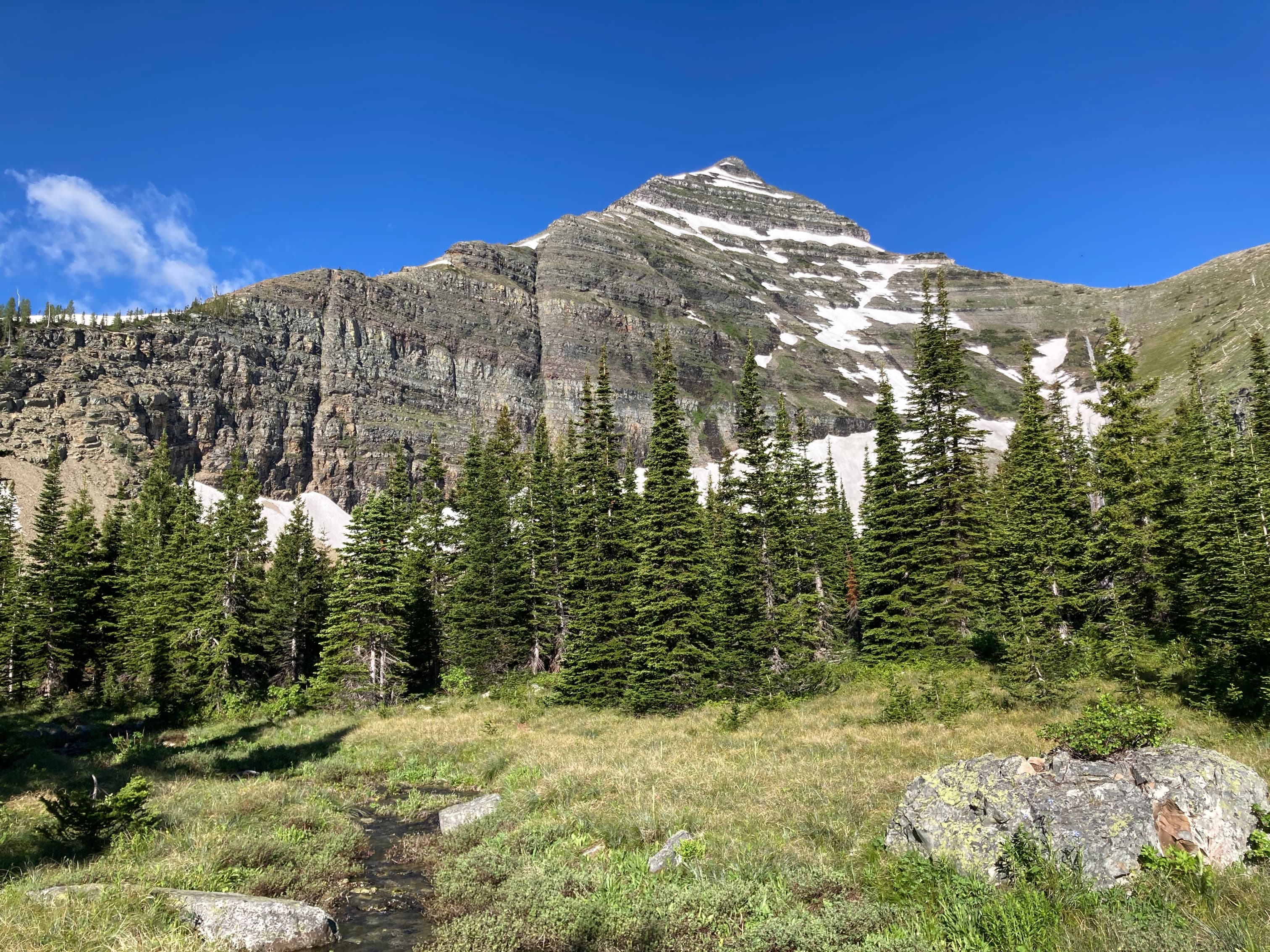
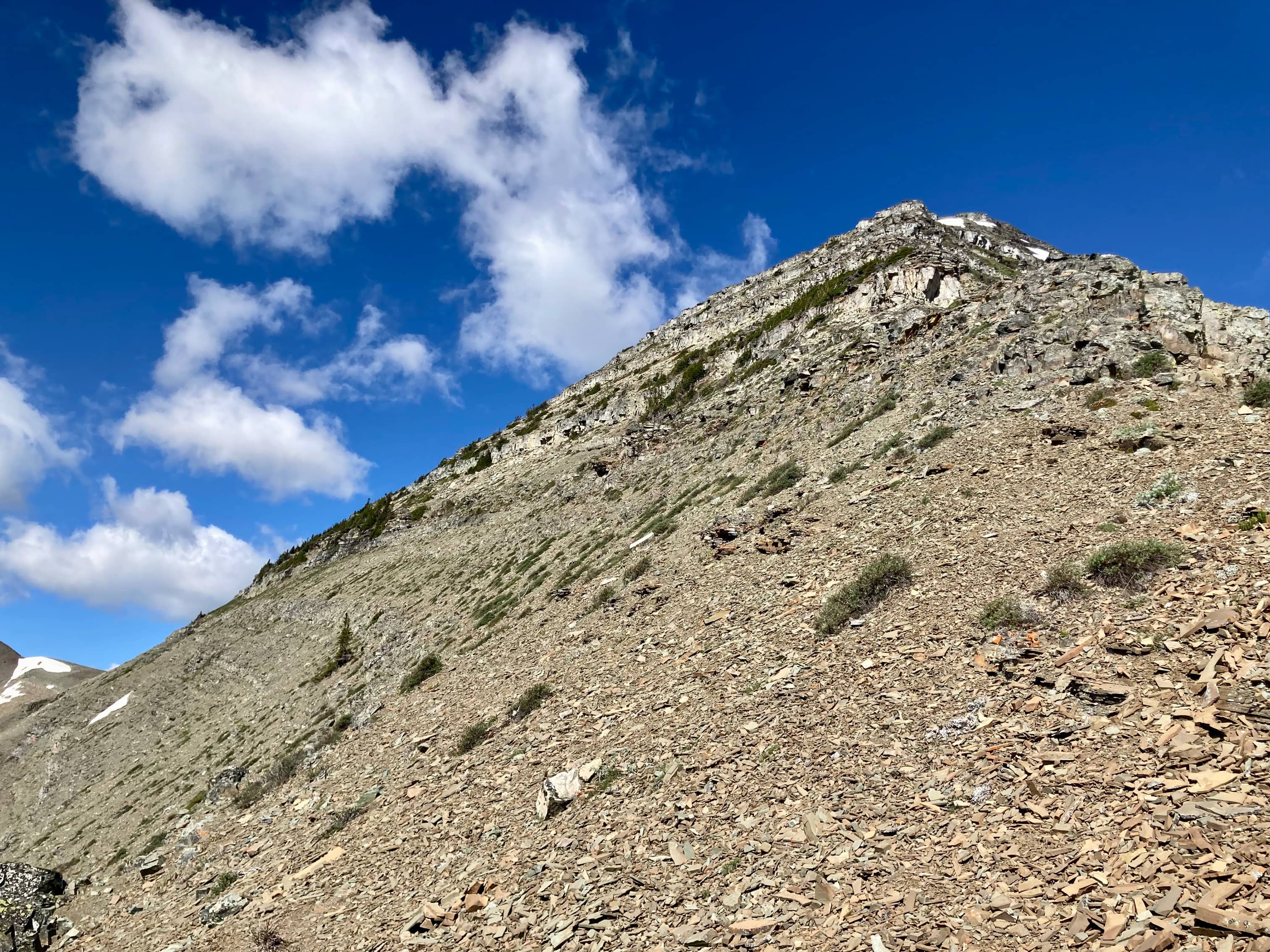
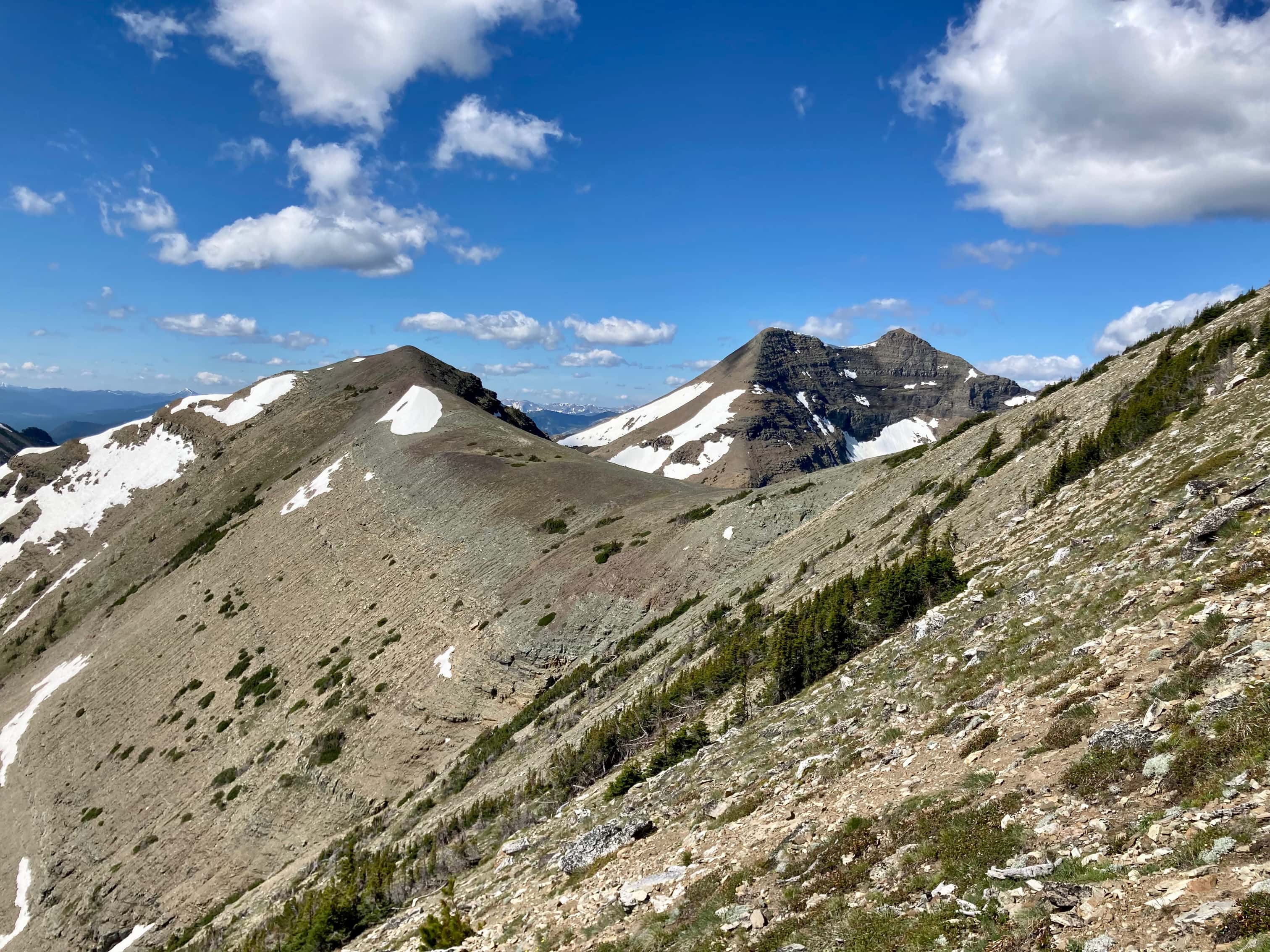
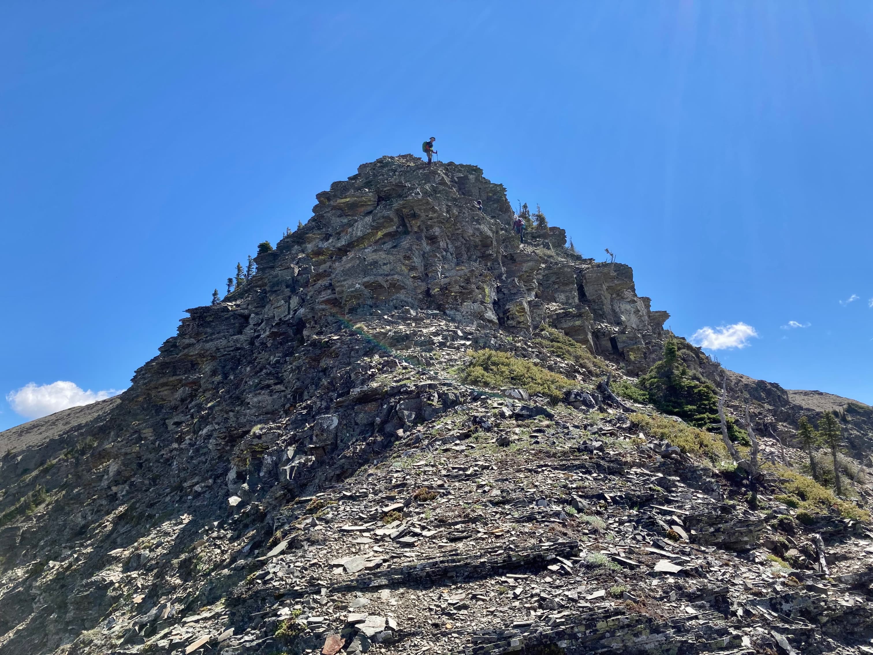
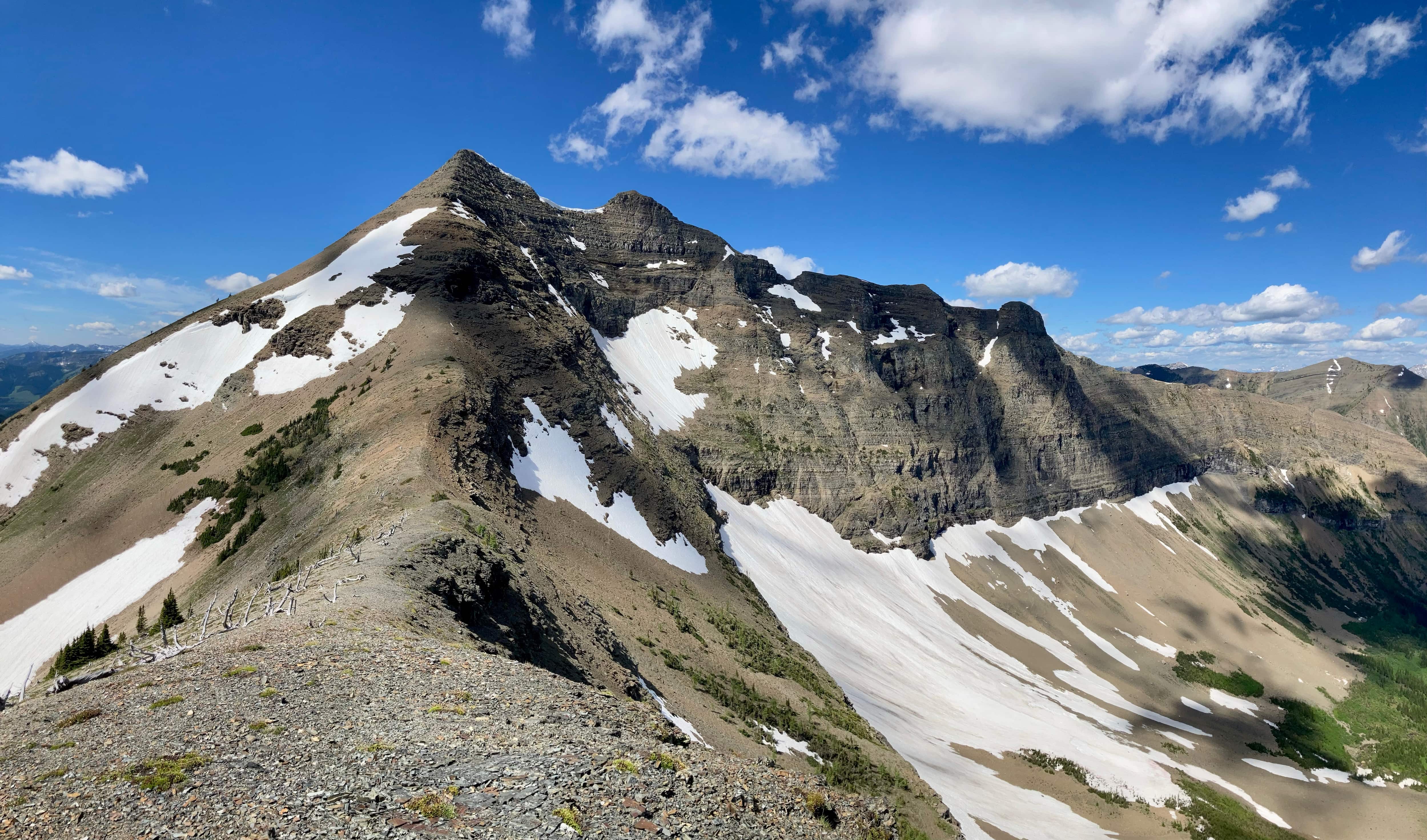
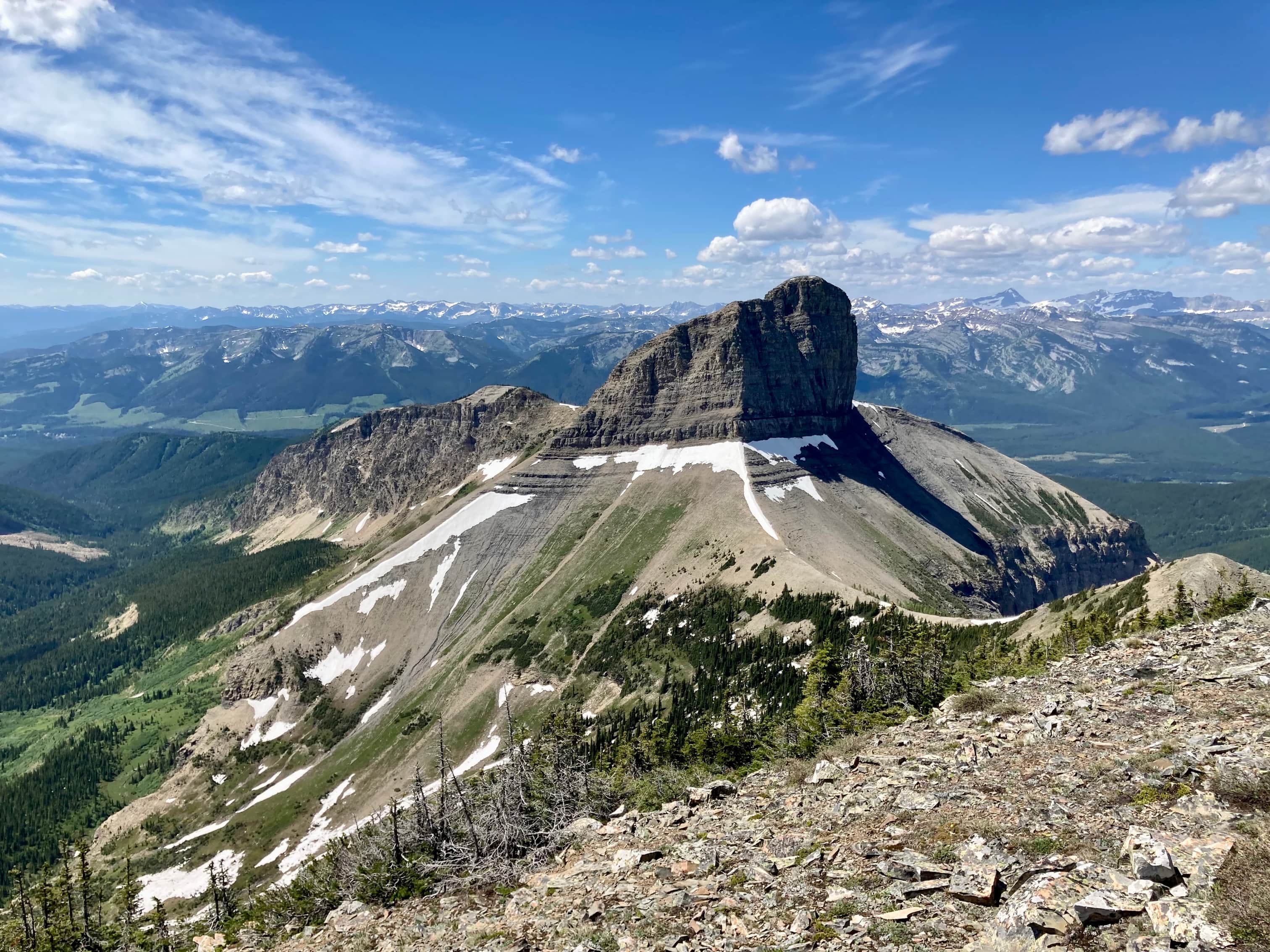
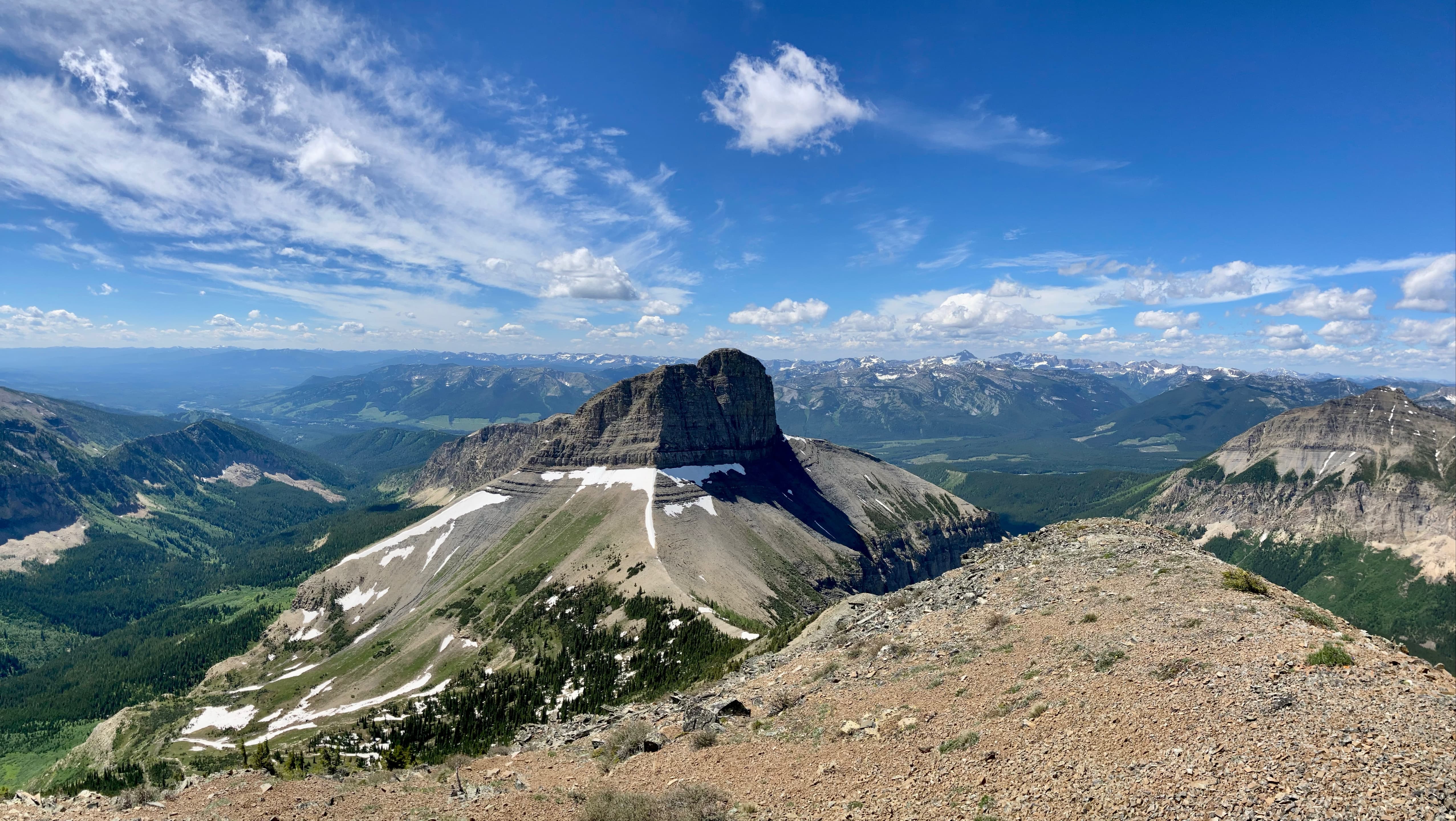
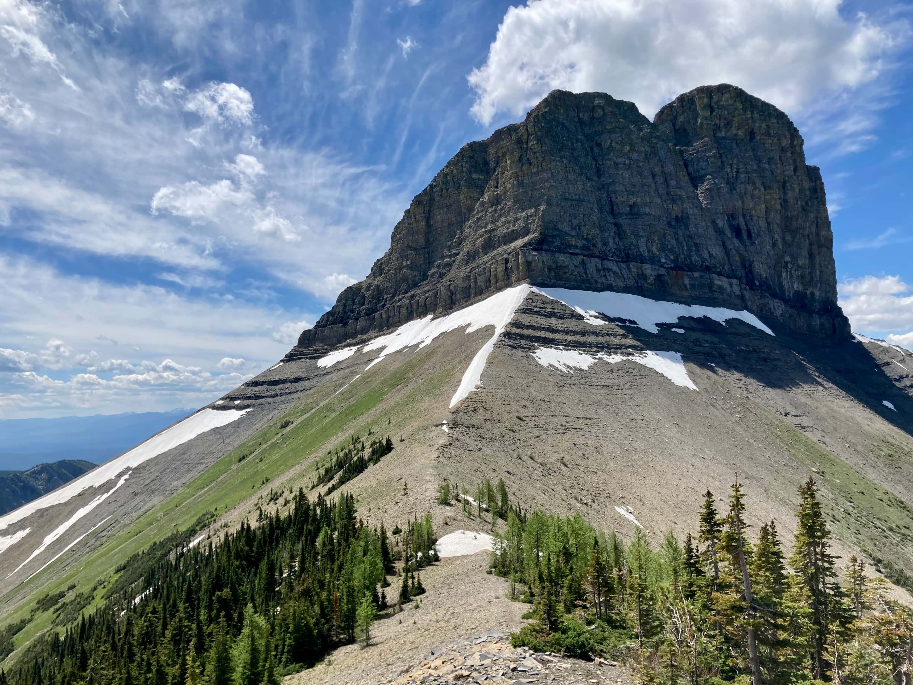
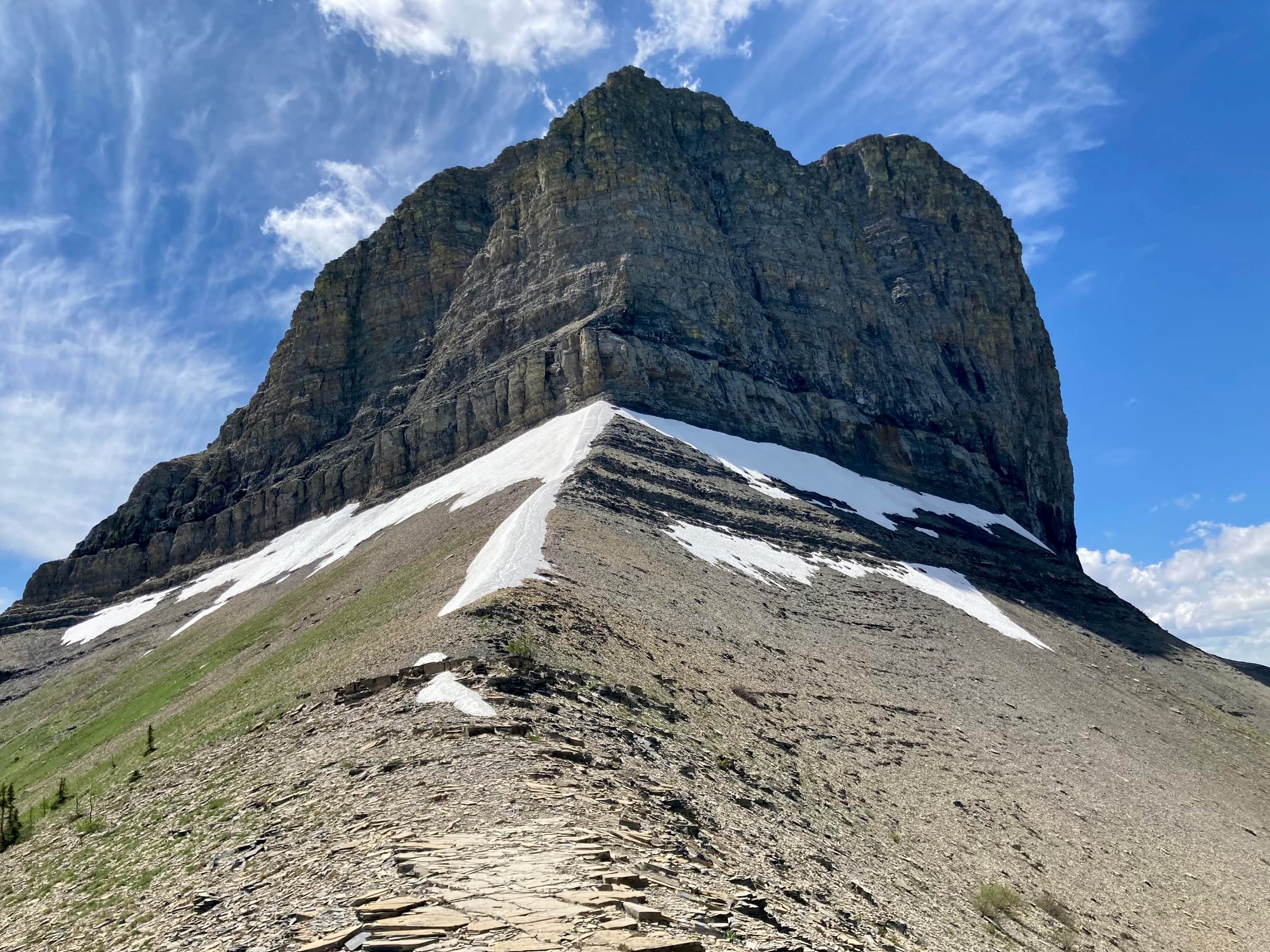
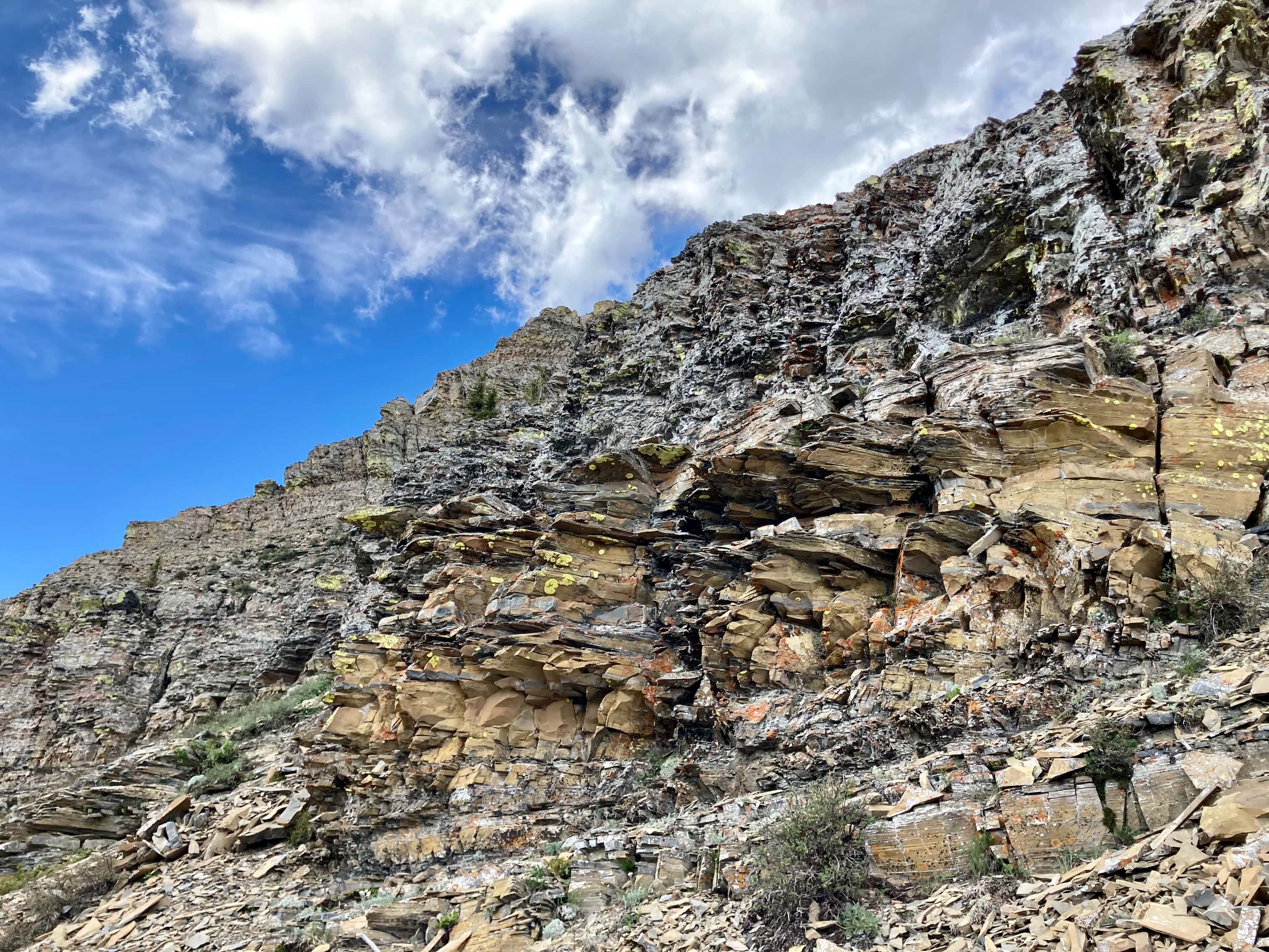
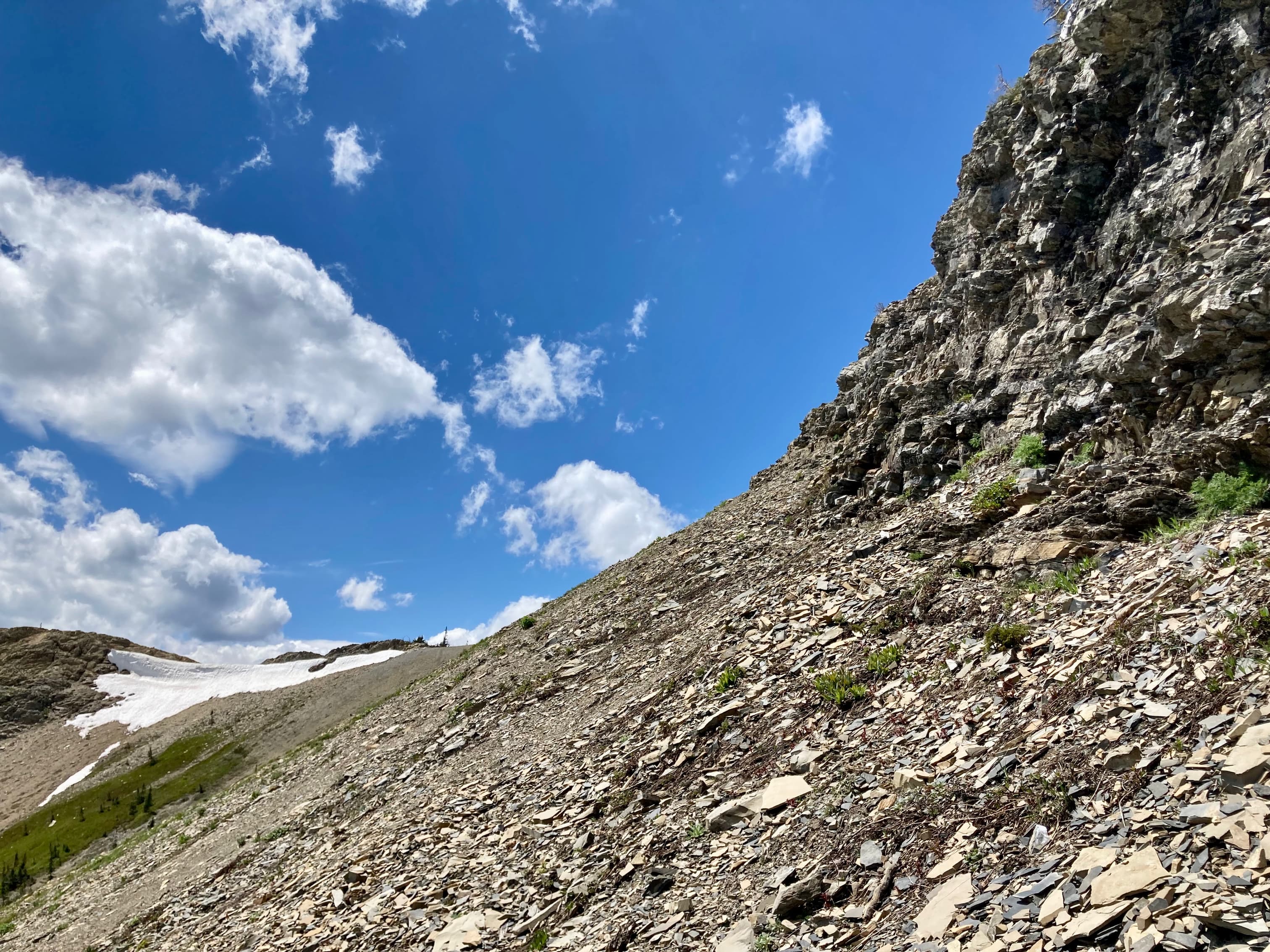
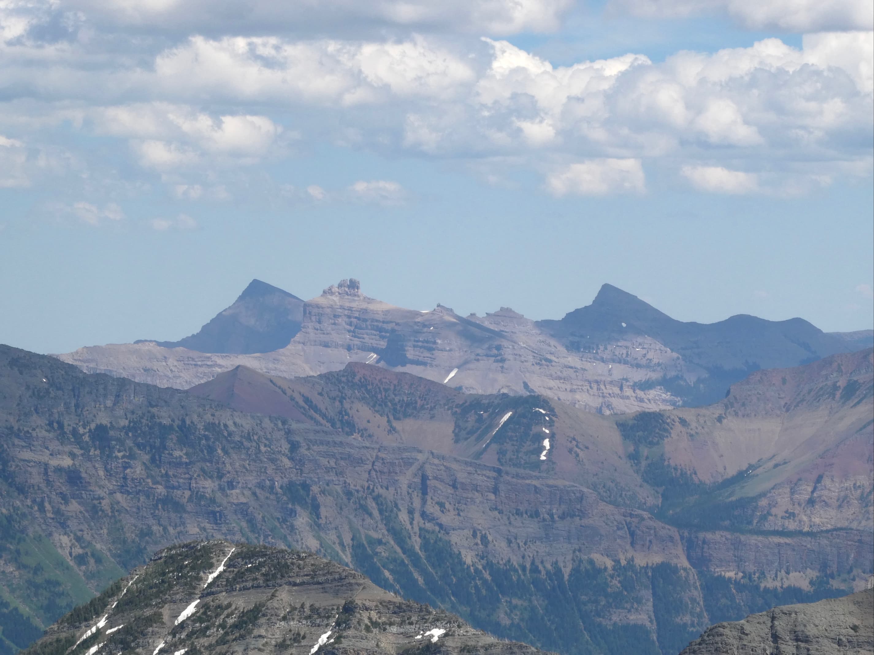
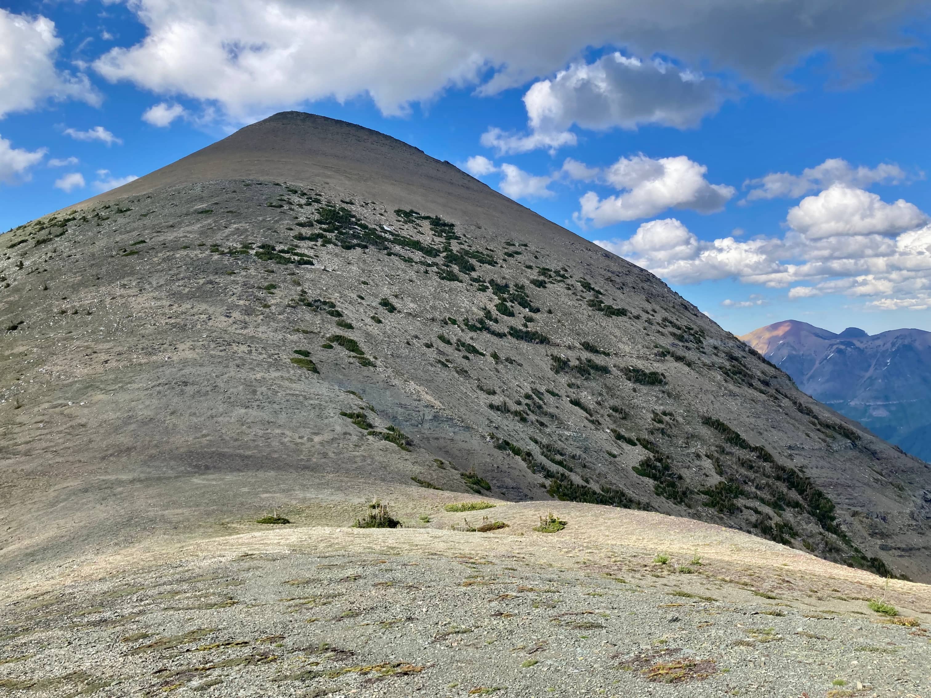
Access is the same as for Mount Haig (follow link above). We ascended to a point a short distance below Haig’s distinctive white rock band and began to traverse along the south face. This brought us around the mountain a very short distance above the col between Mount Haig and high point between it and Boot Hill. Dewit referred to this high point as “the bump”. One of my hiking companions, Bhaskar, named it “Sock Hill”. After walking up to Sock Hill’s summit we did a bit of scrambling down rock bands, heading down towards the col between Sock Hill and Boot Hill. To ascend Boot Hill we went straight up the east ridge. In one spot it would have been preferable to deviate to climber’s left but there was still a large snow patch in that area. Therefore, we stuck to the ridge and were able to find a route that remained in the Kane/Nugara “moderate” scrambling category. We soon reached Boot Hill’s false summit and got our first full view of Tombstone Mountain.
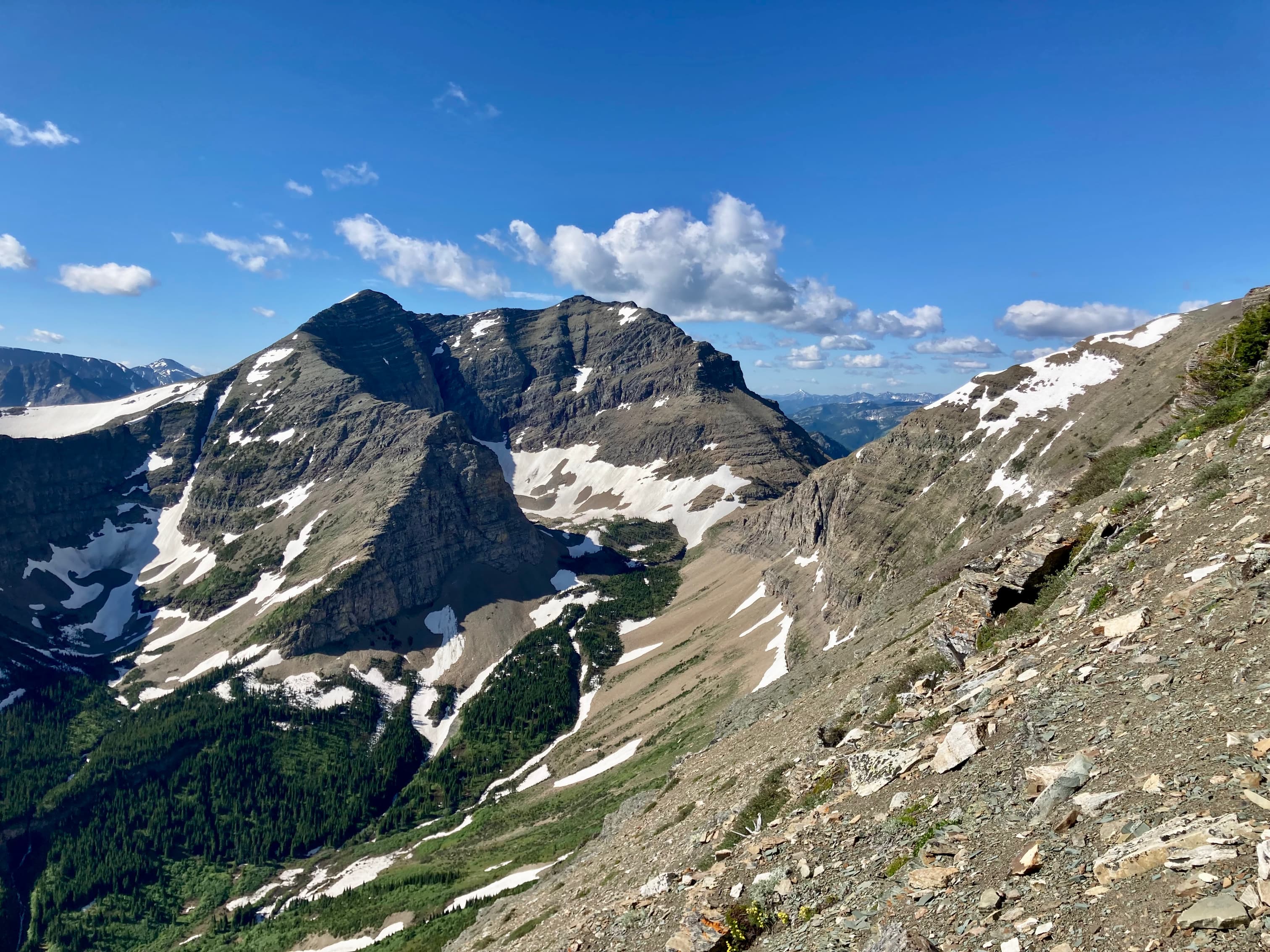
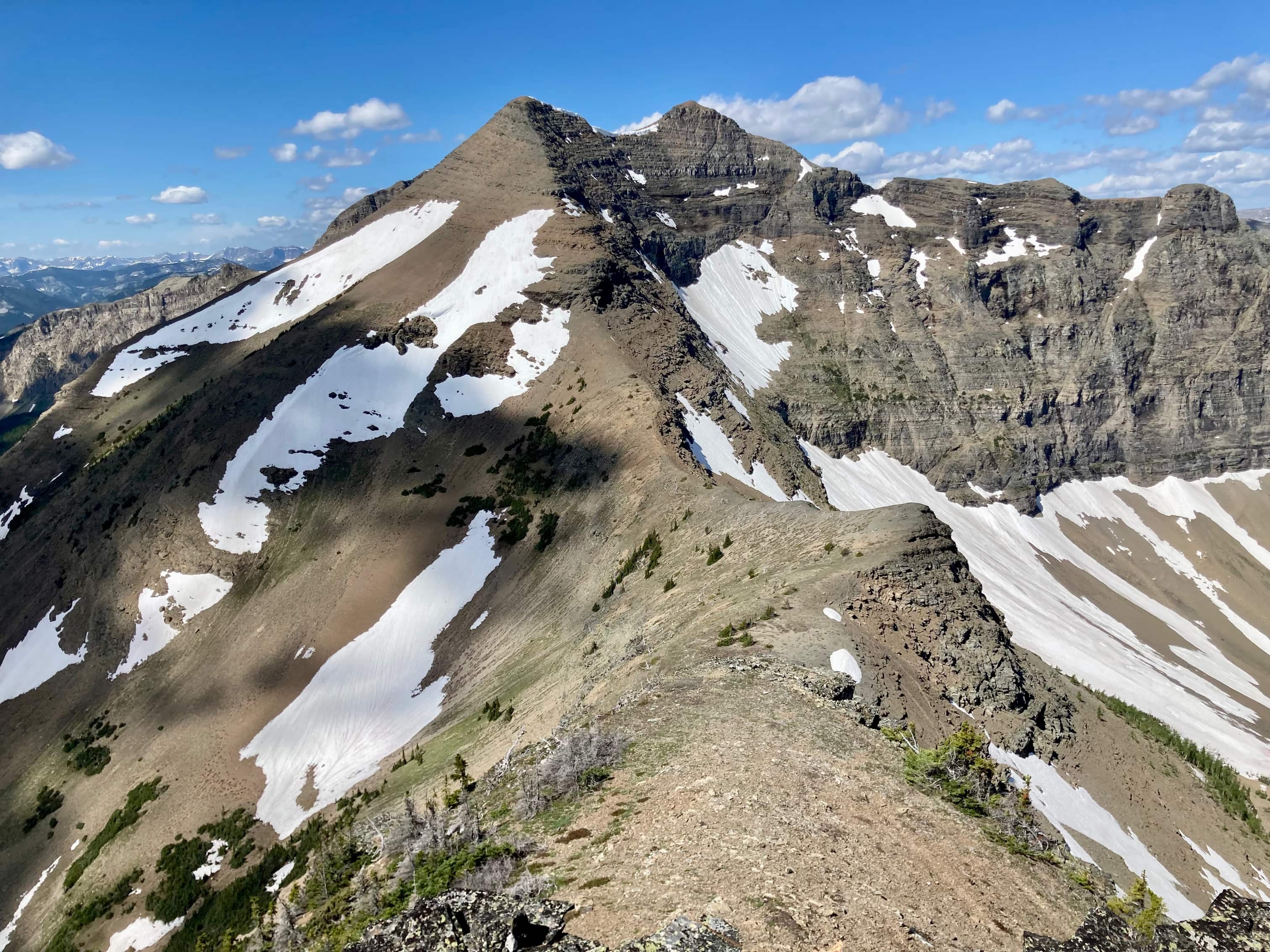
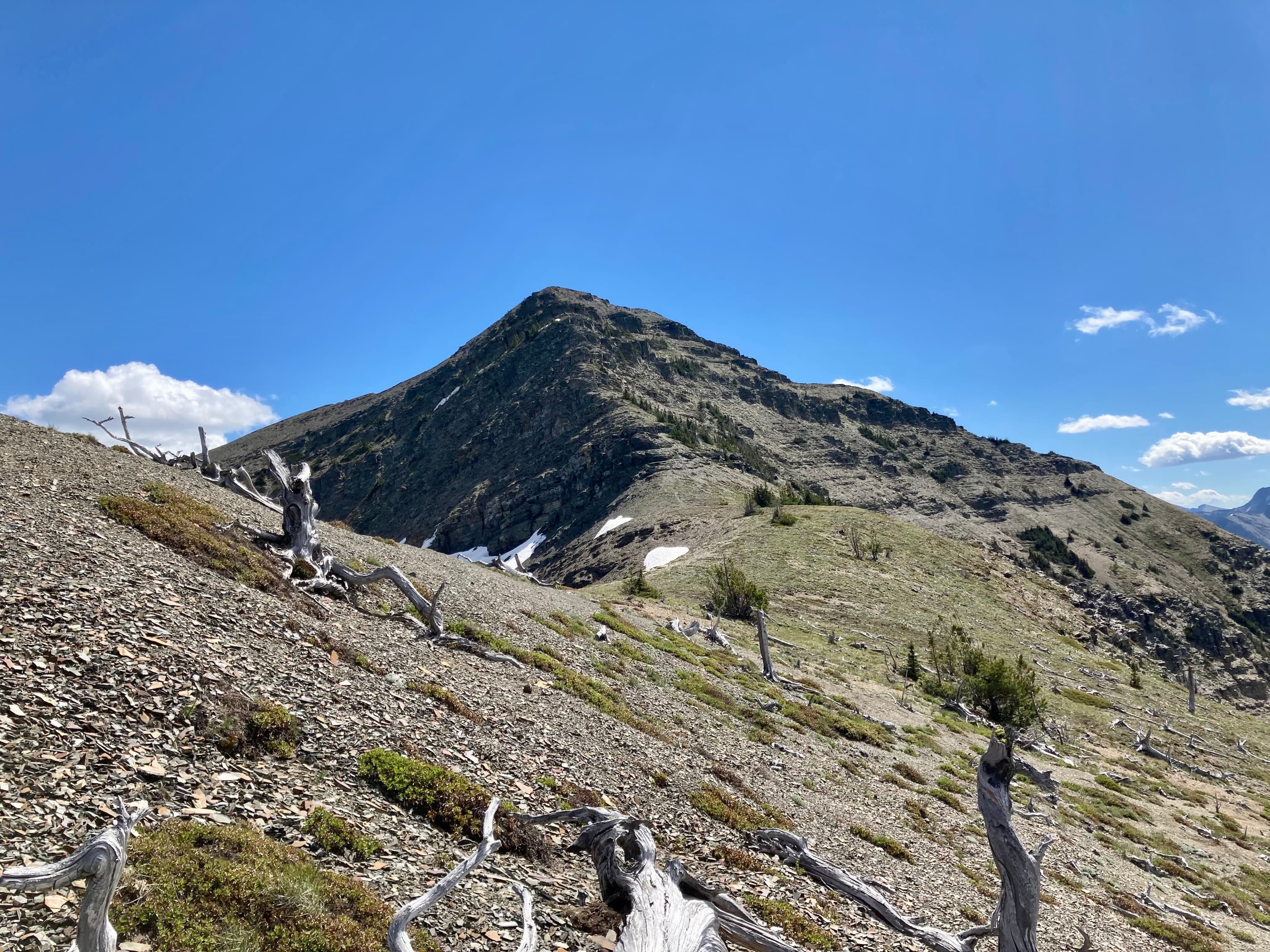
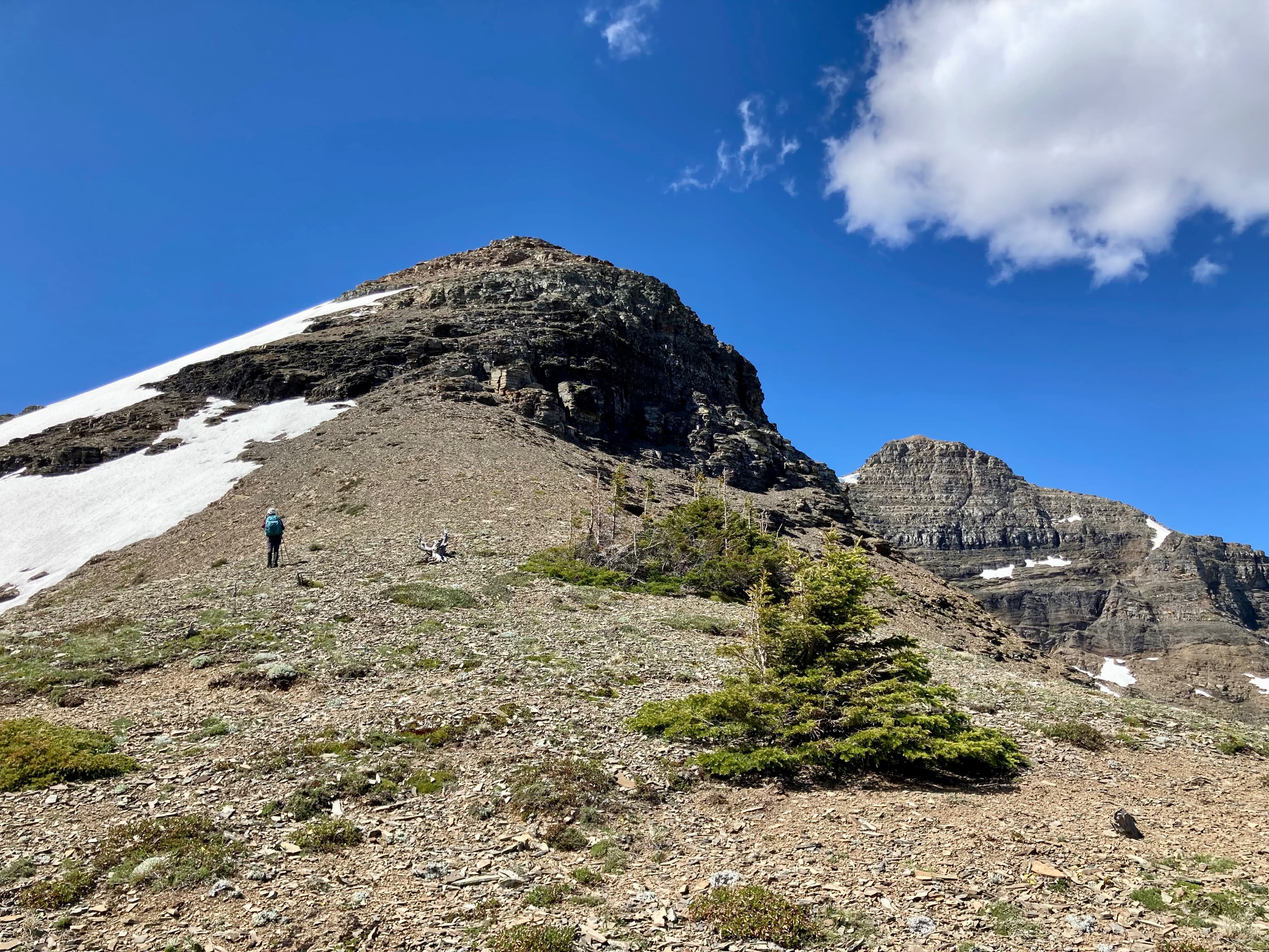
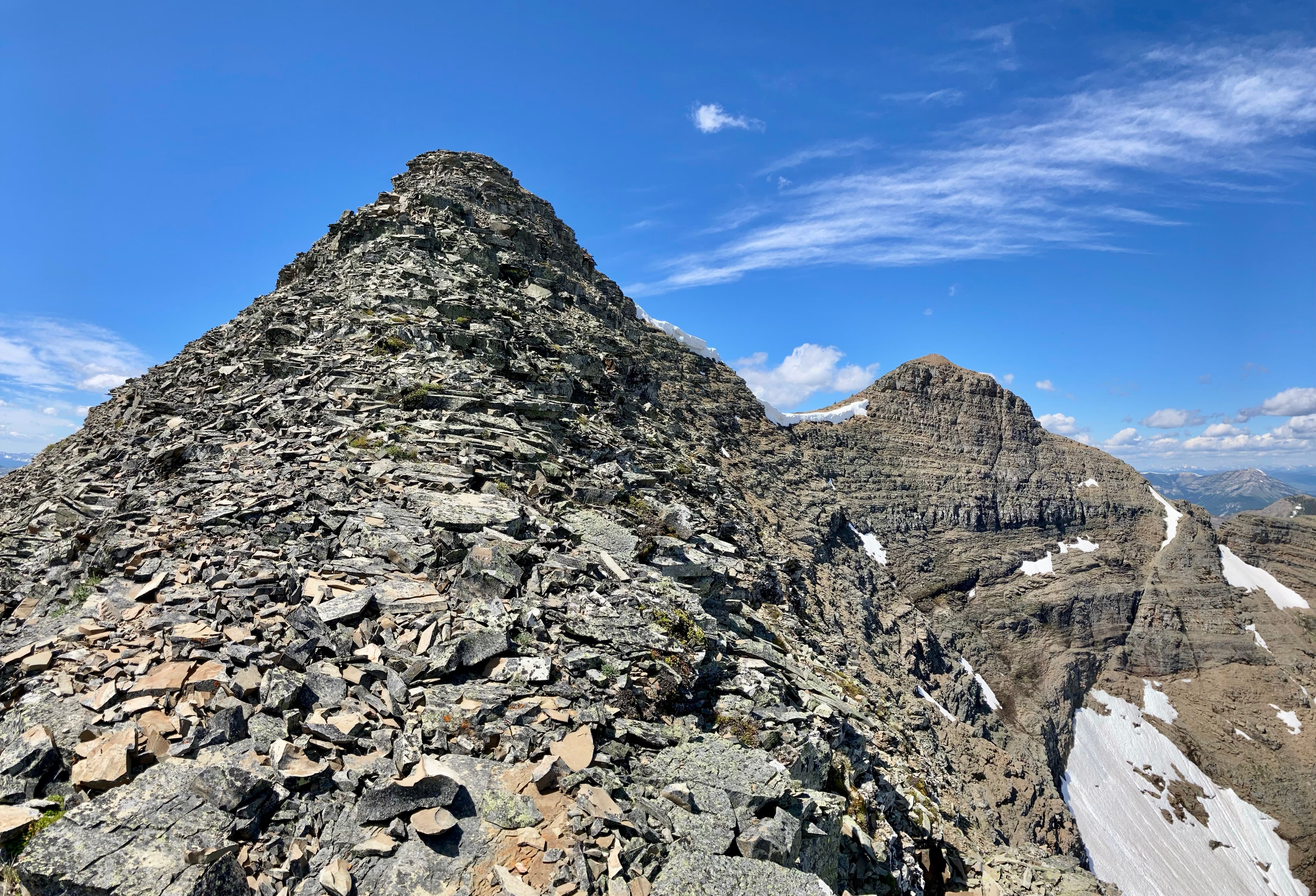
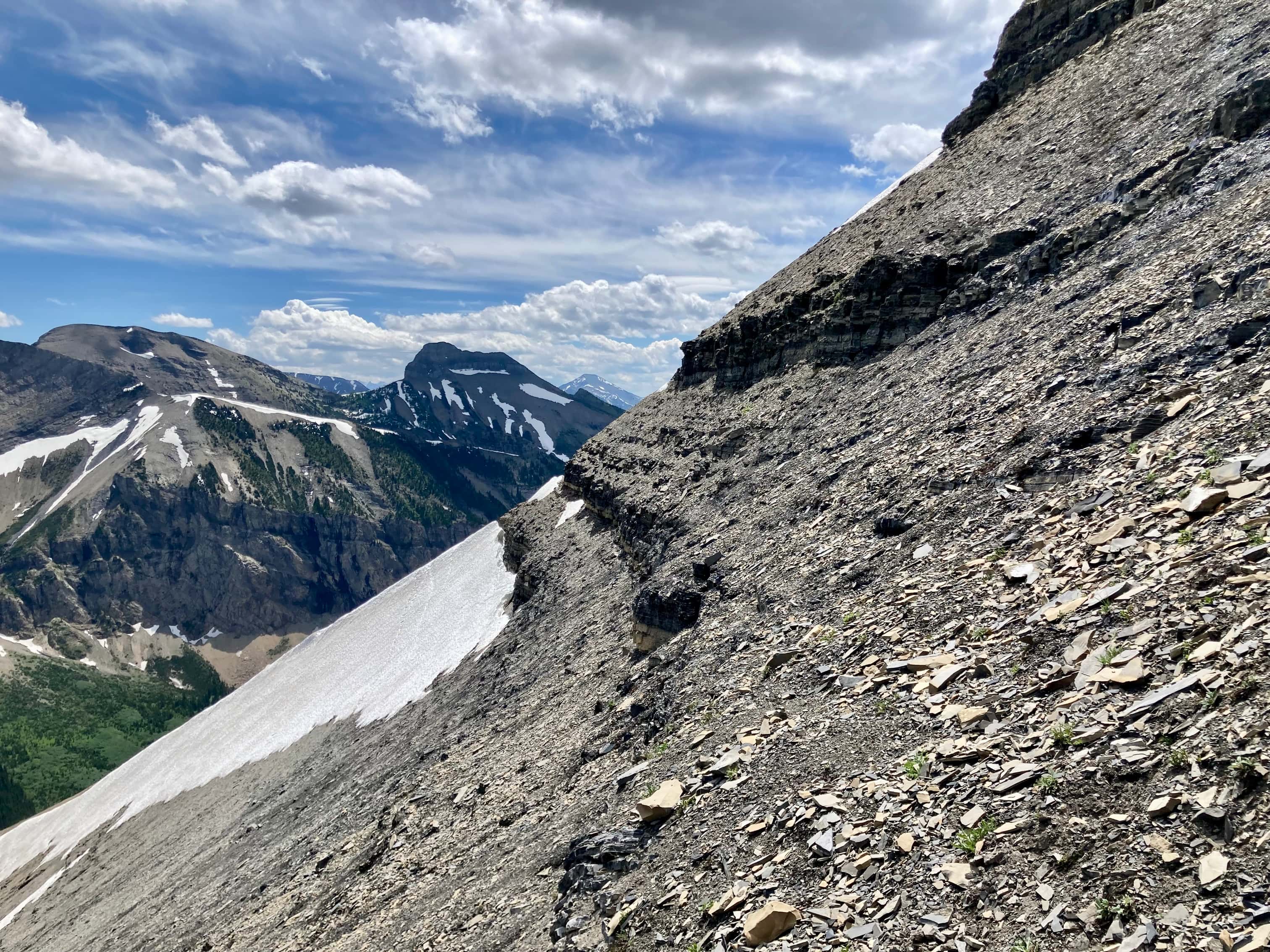
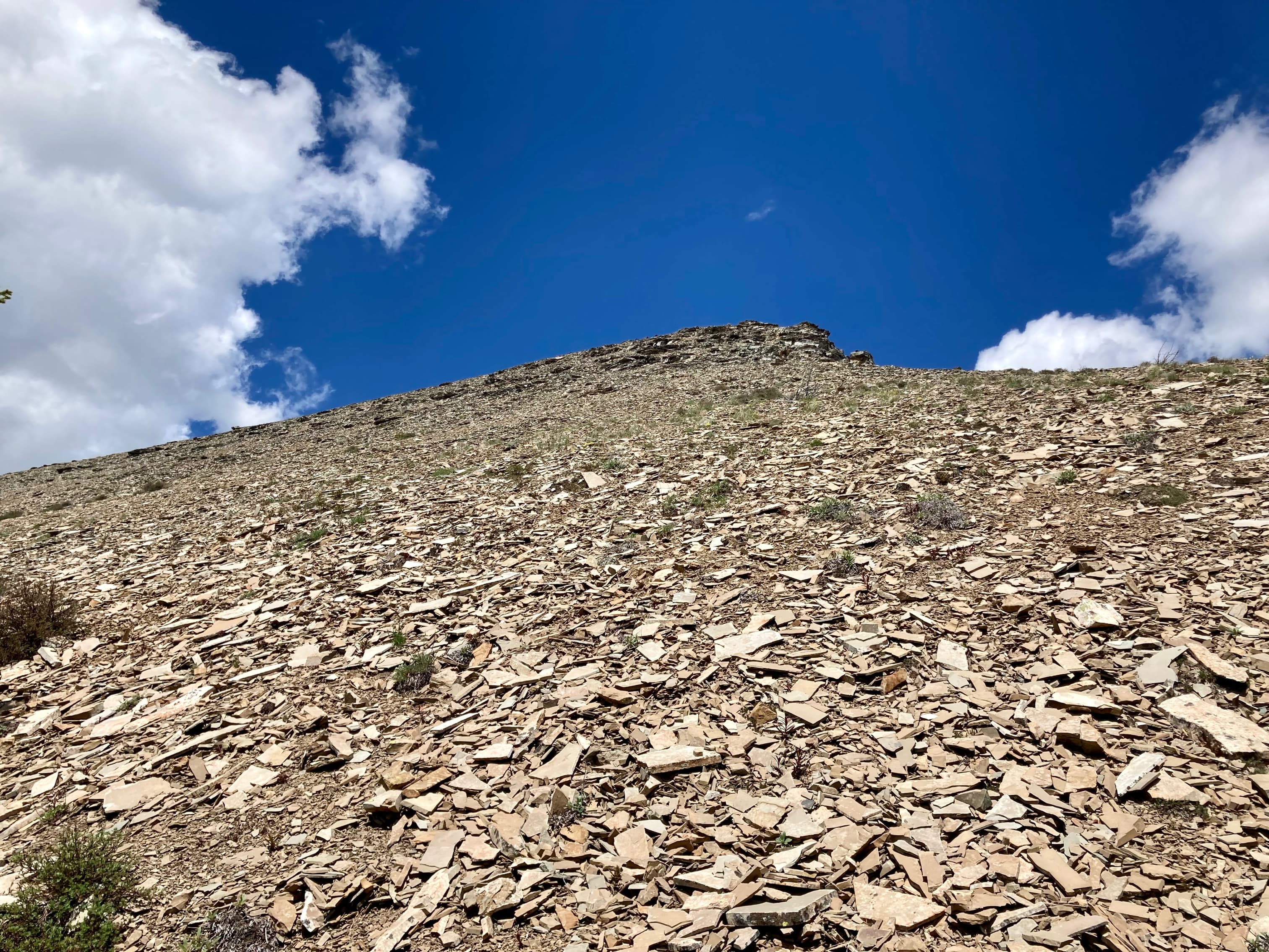
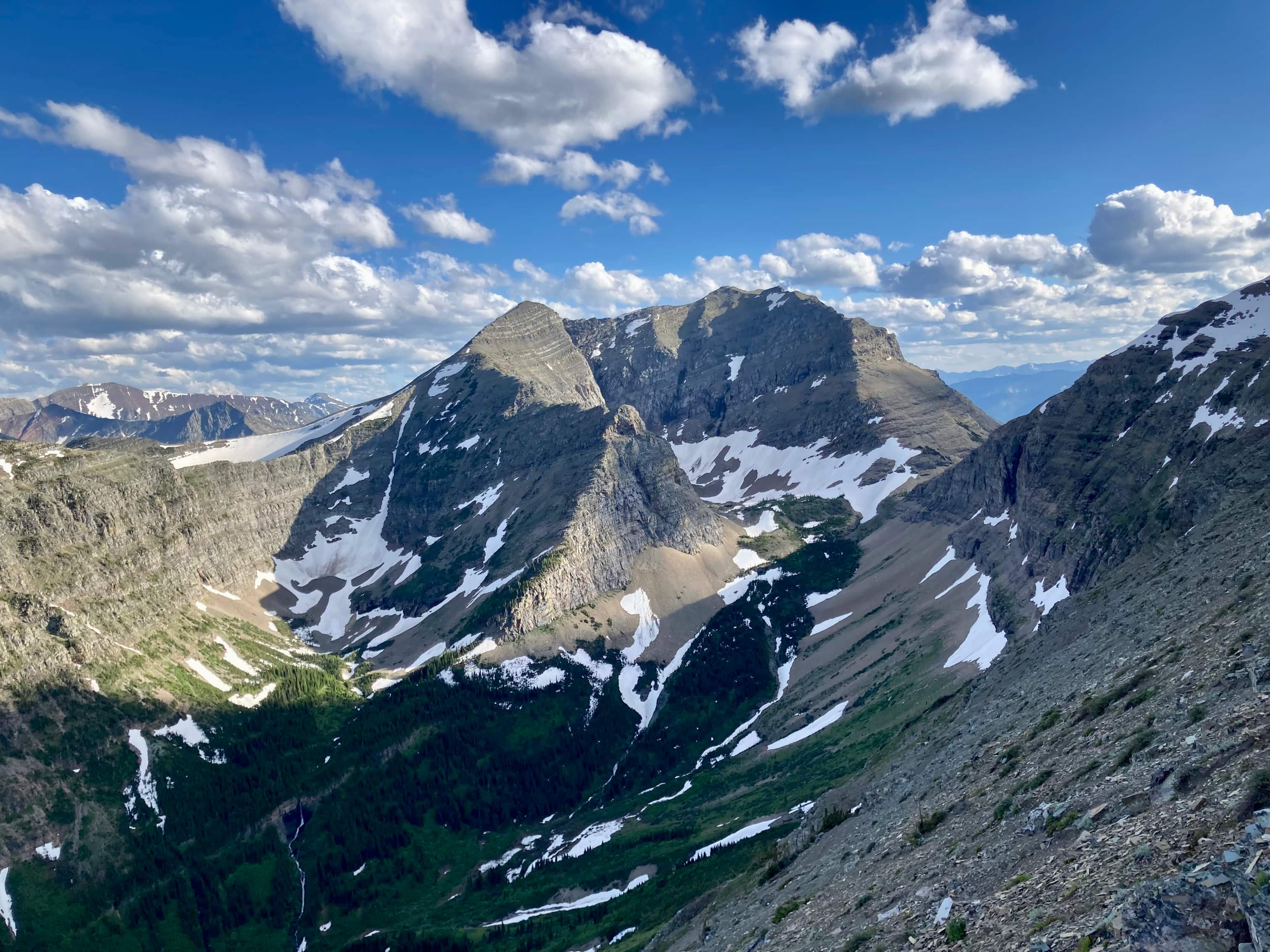
A short climb later we were on Boot Hill’s summit and considering our approach to Tombstone. There was a visible goat trail traversing across the east slopes of the mountain, but it went directly into a snow patch which we wanted to avoid. We decided to make our traverse well above the level of the snow. We managed to make our way across the eastern slope and around the corner to the southeast aspect of the mountain. Continuing to traverse, we eventually caught sight of Tombstone’s south ridge. Once a clear path was visible we angled upwards to join the ridge, then endured a slog up scree and rubble to the summit of Tombstone Mountain. It took 6h 54m from the parking lot. We took some time to enjoy the achievement. The knowledge that a prolonged return trip with plenty of ascent and (worse) side-hilling still lay before us dampened enthusiasm somewhat. The weather was holding, but the wind was picking up a bit and we could tell that as the afternoon wore on some precipitation was a possibility.
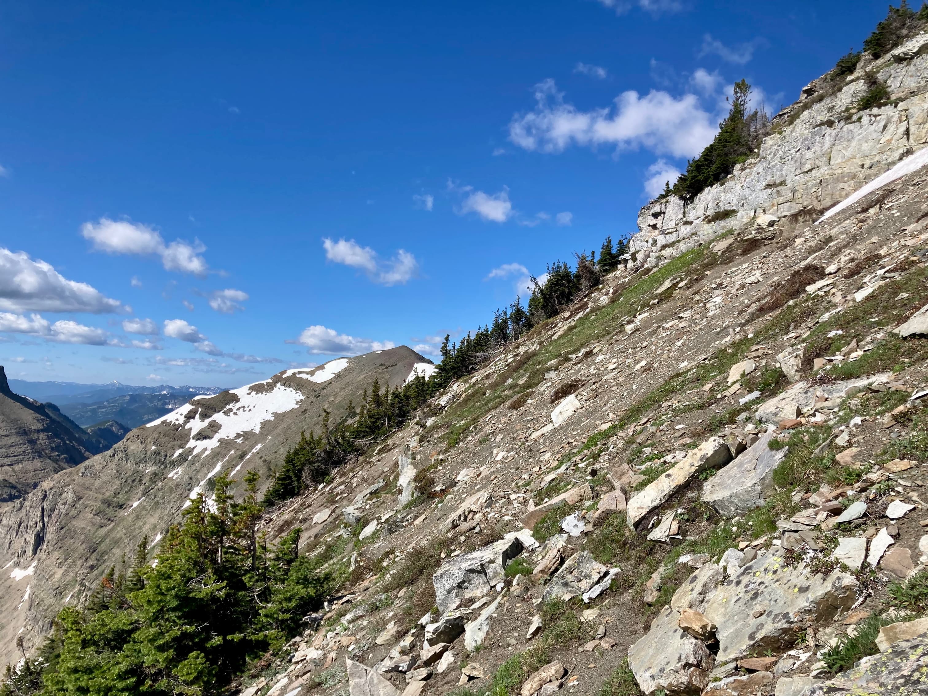
For our return trip we retraced our route, though we did avoid a bit of ascent by cutting across below Boot Hill’s summit and traversing to the eastern ridge (hooray, more side-hilling). We were delayed a bit when part of the group ended up too low on the traverse back around Tombstone and found themselves facing the large snow patch. In the end they dropped down below it and had to deal with a fairly long climb back up to the col. Luckily, although patches of rain passed nearby we never felt more than an occasional drop. By the time we got back to the parking lot I was on the last sips of the 4 litres of water I’d packed and I was thrilled to stop walking.
Click on the pictures in the gallery below to access higher resolution images.
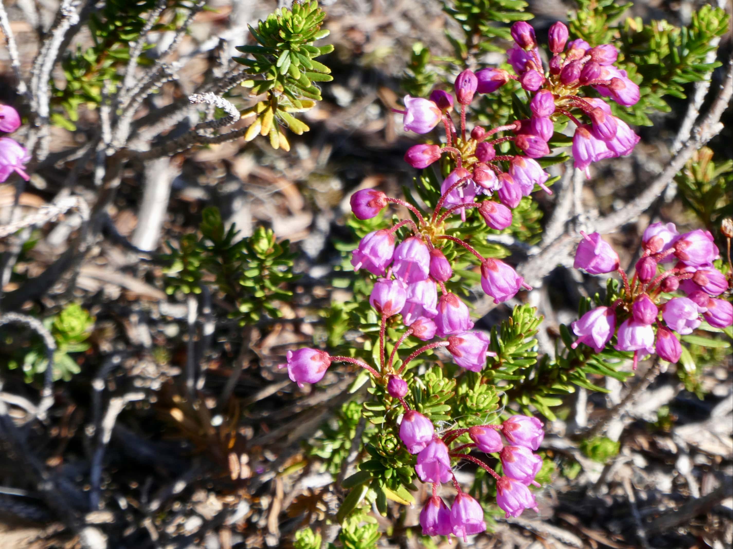
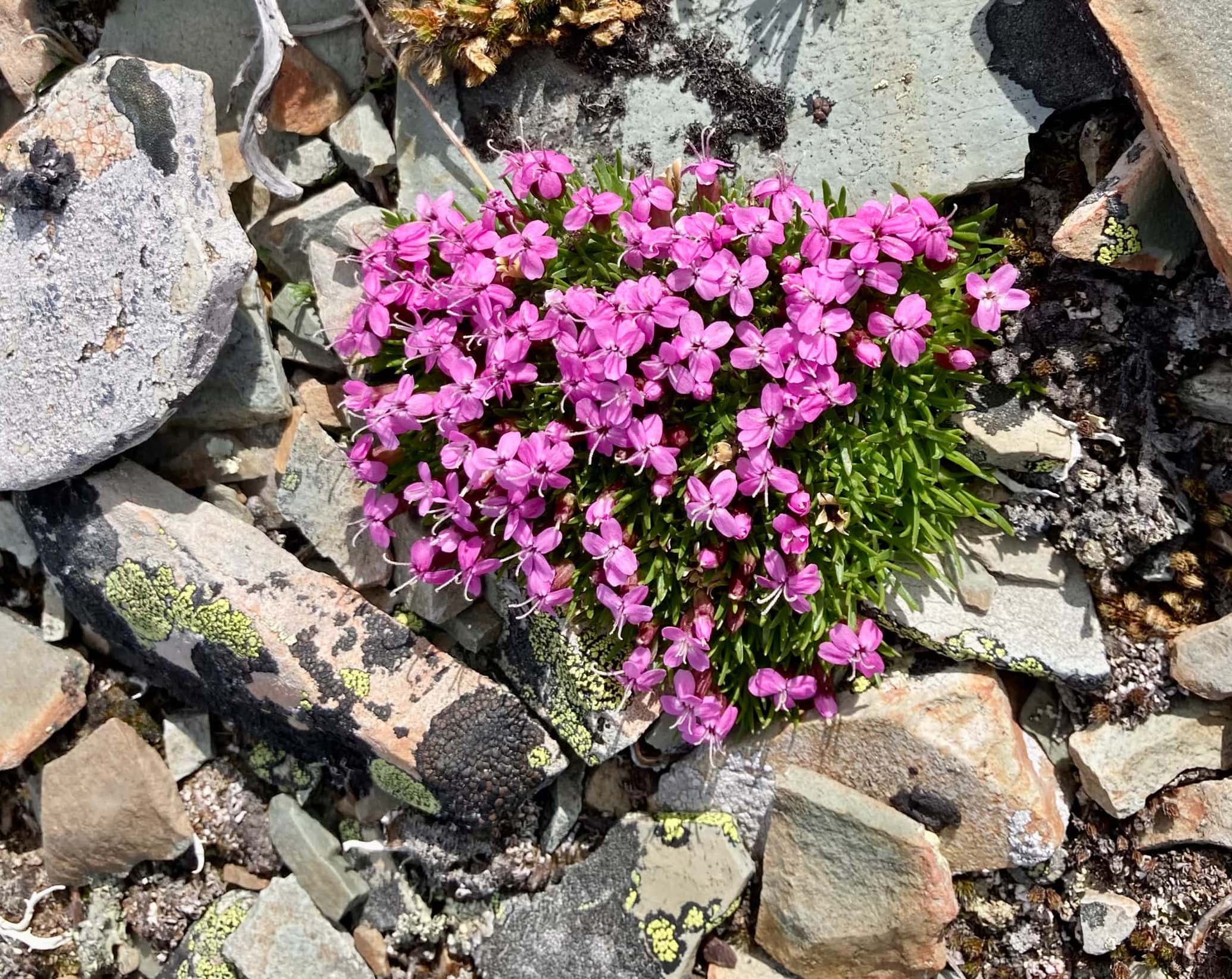
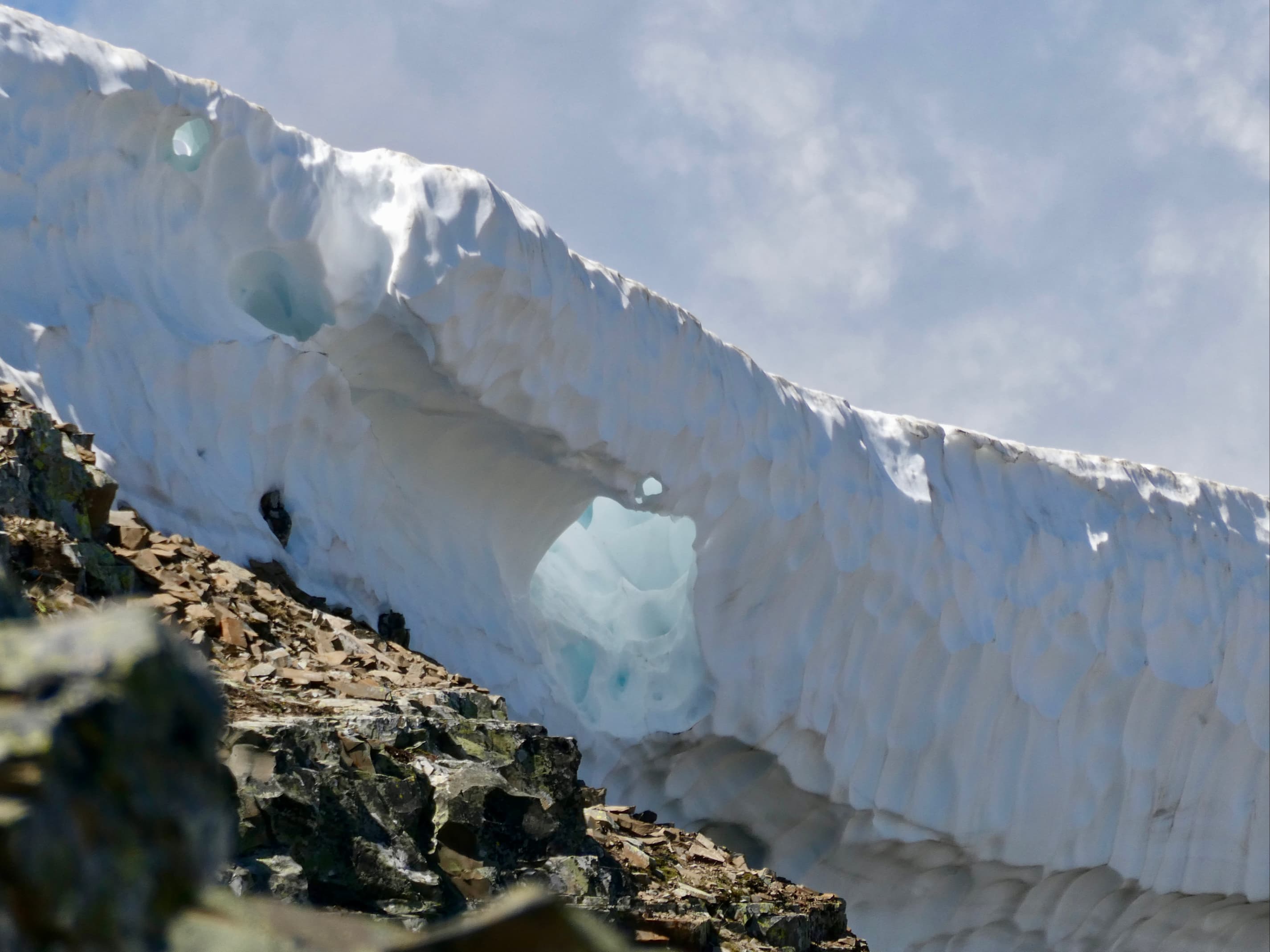
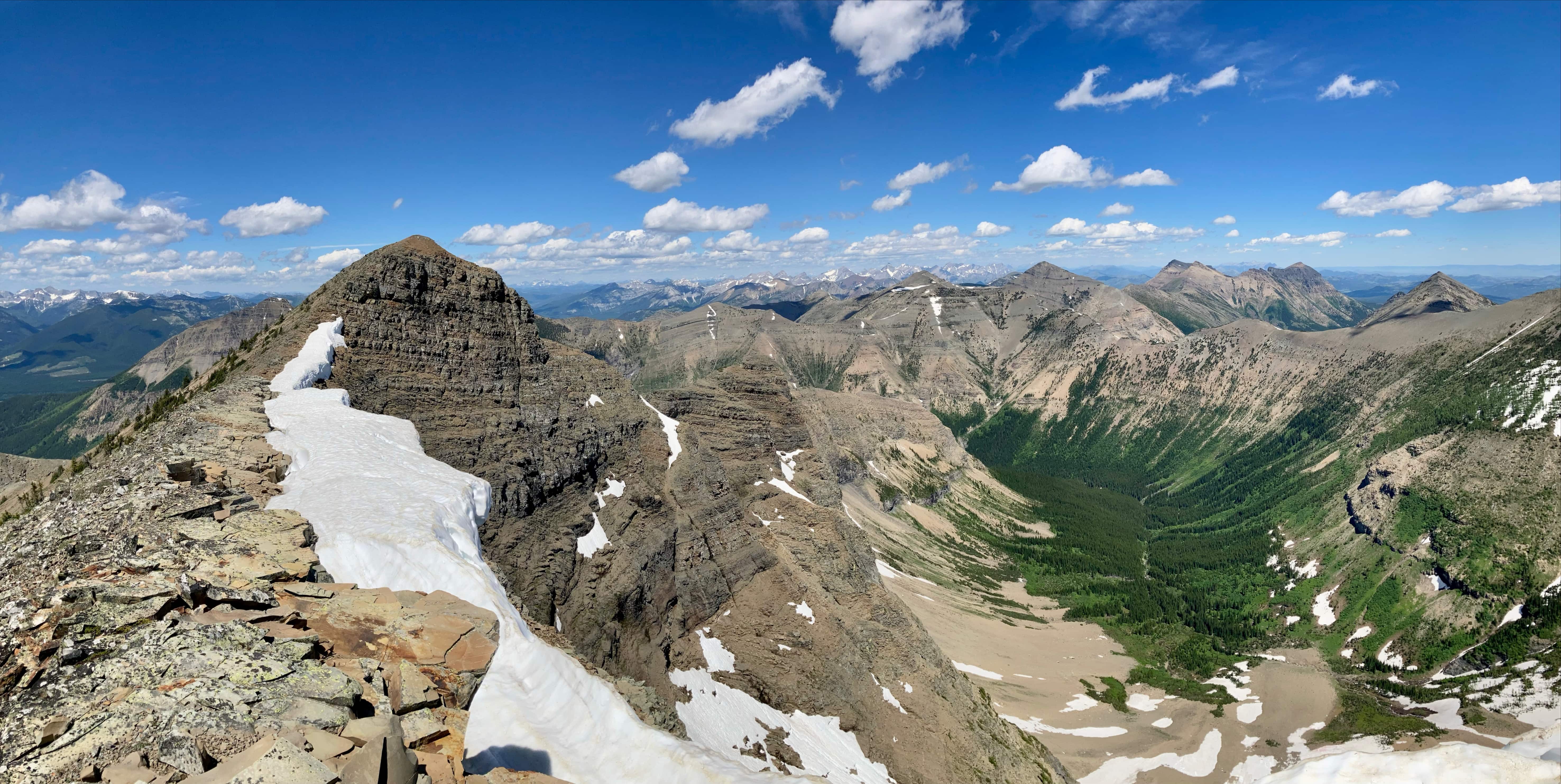
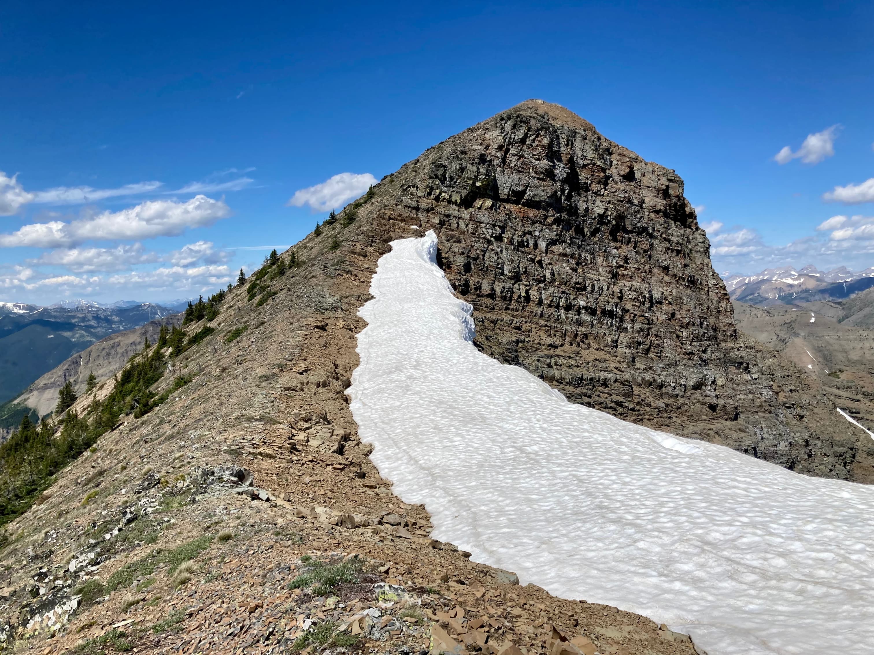
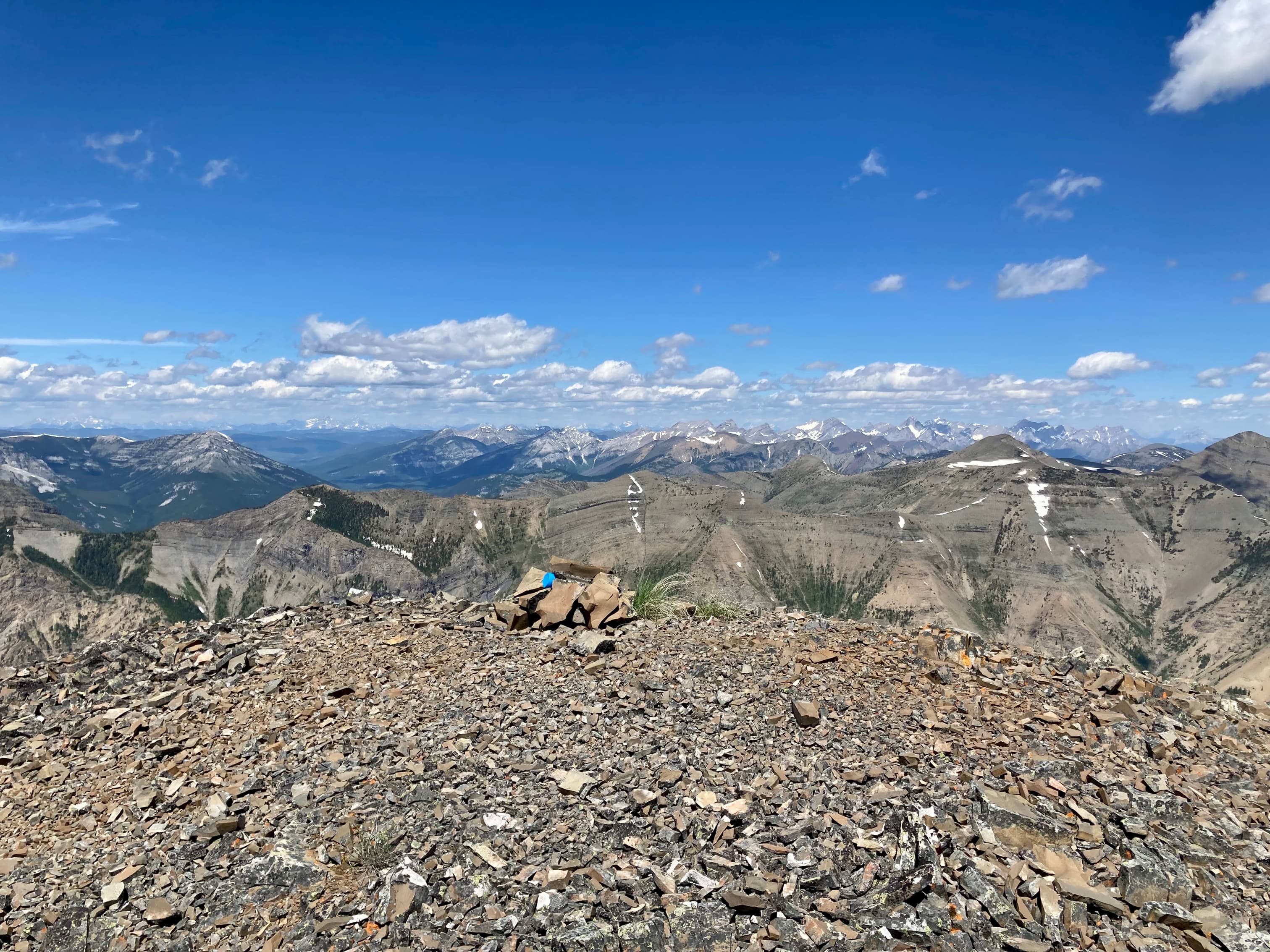
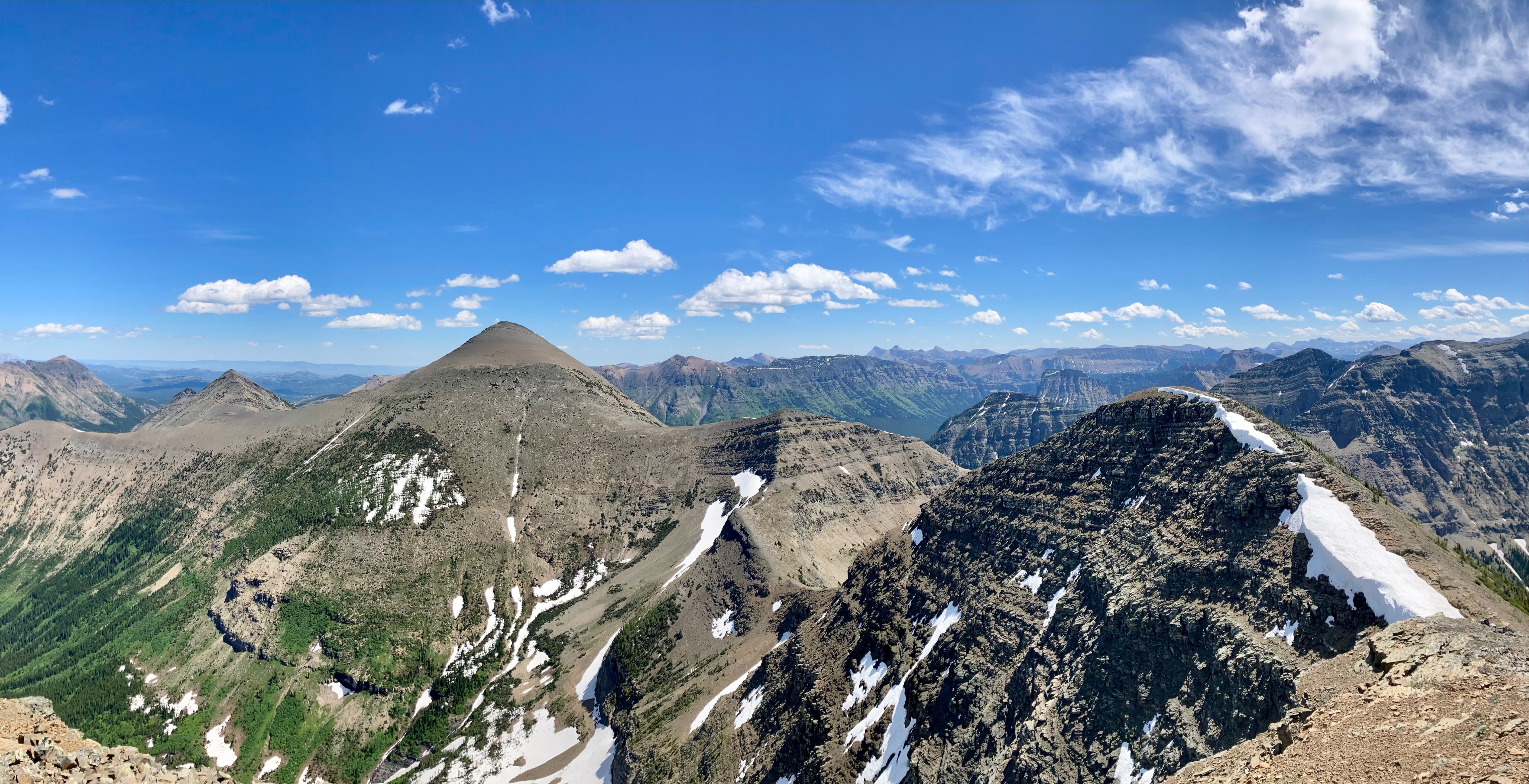
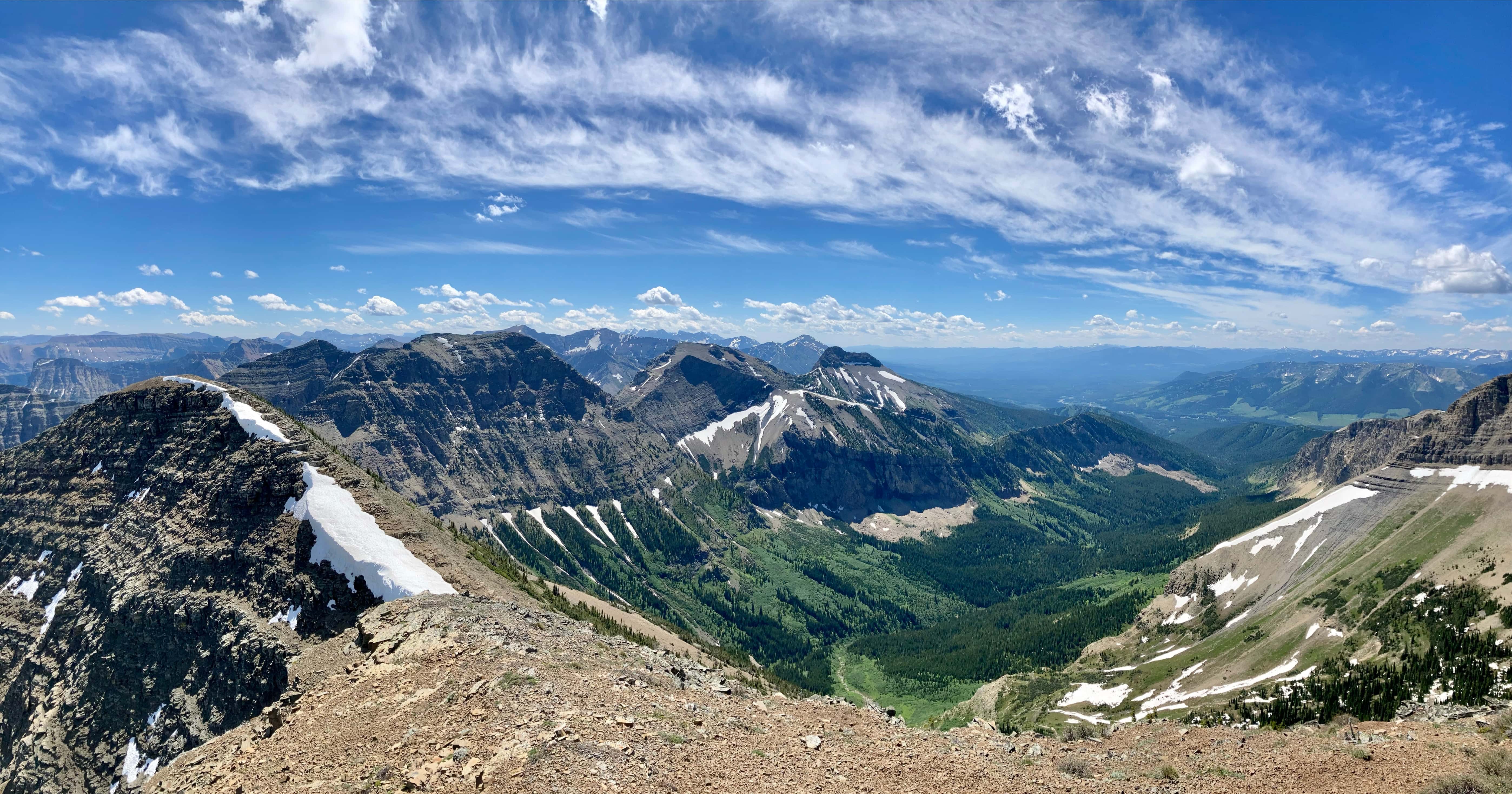
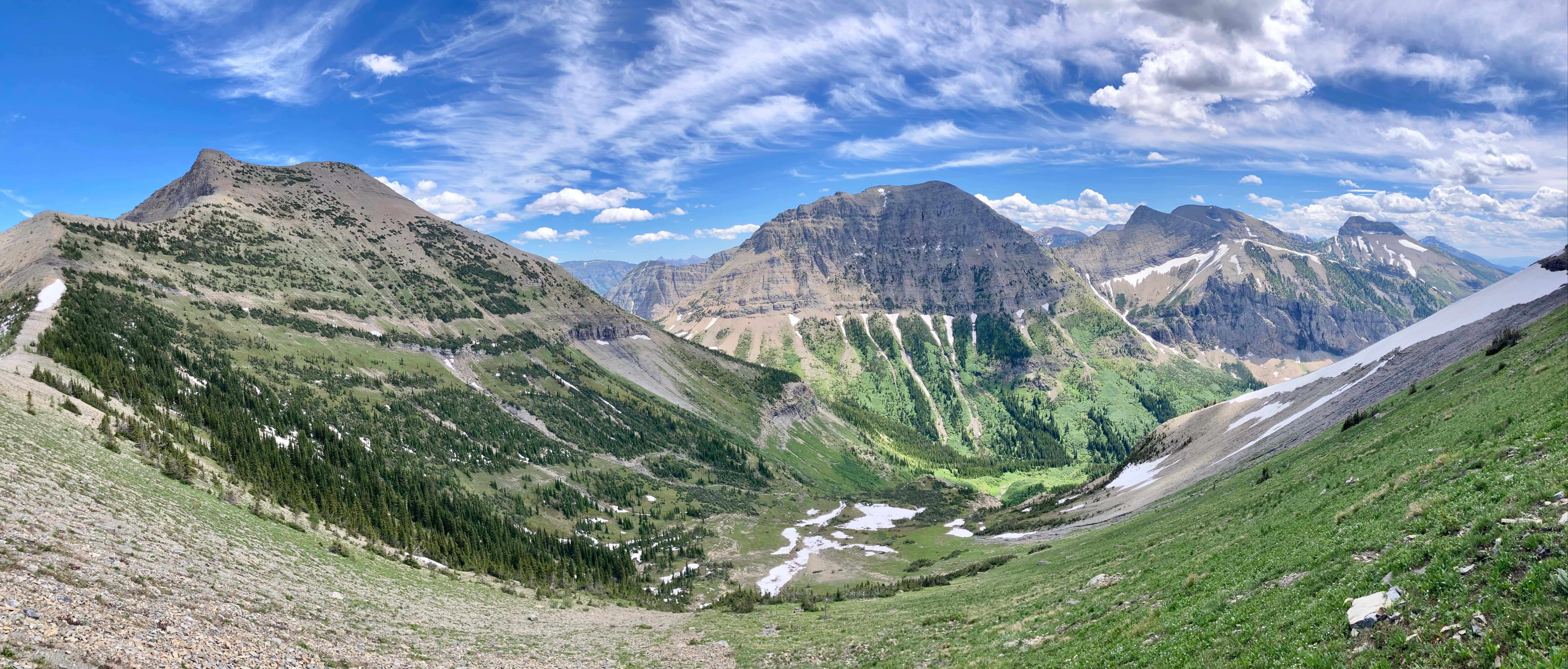
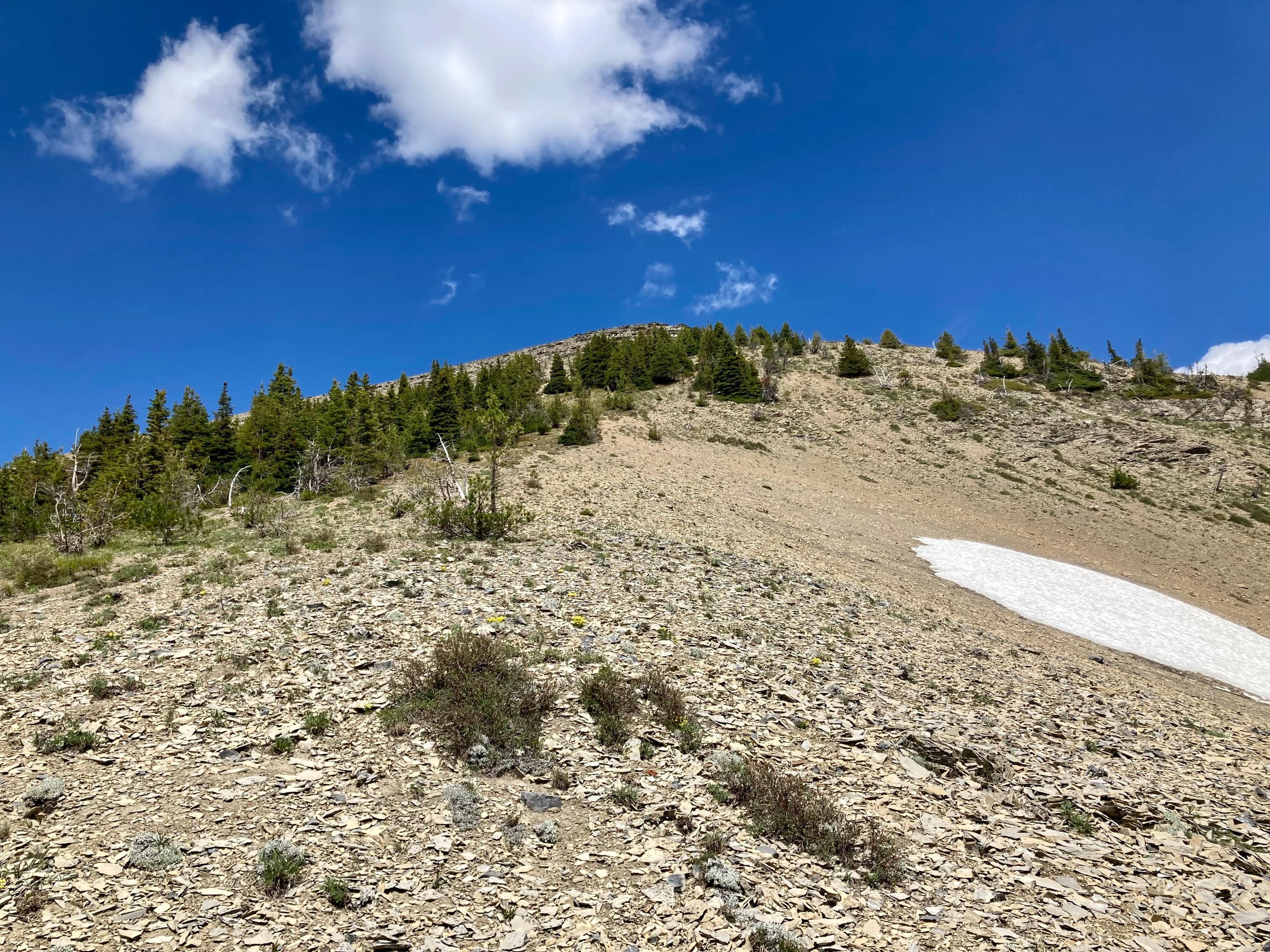
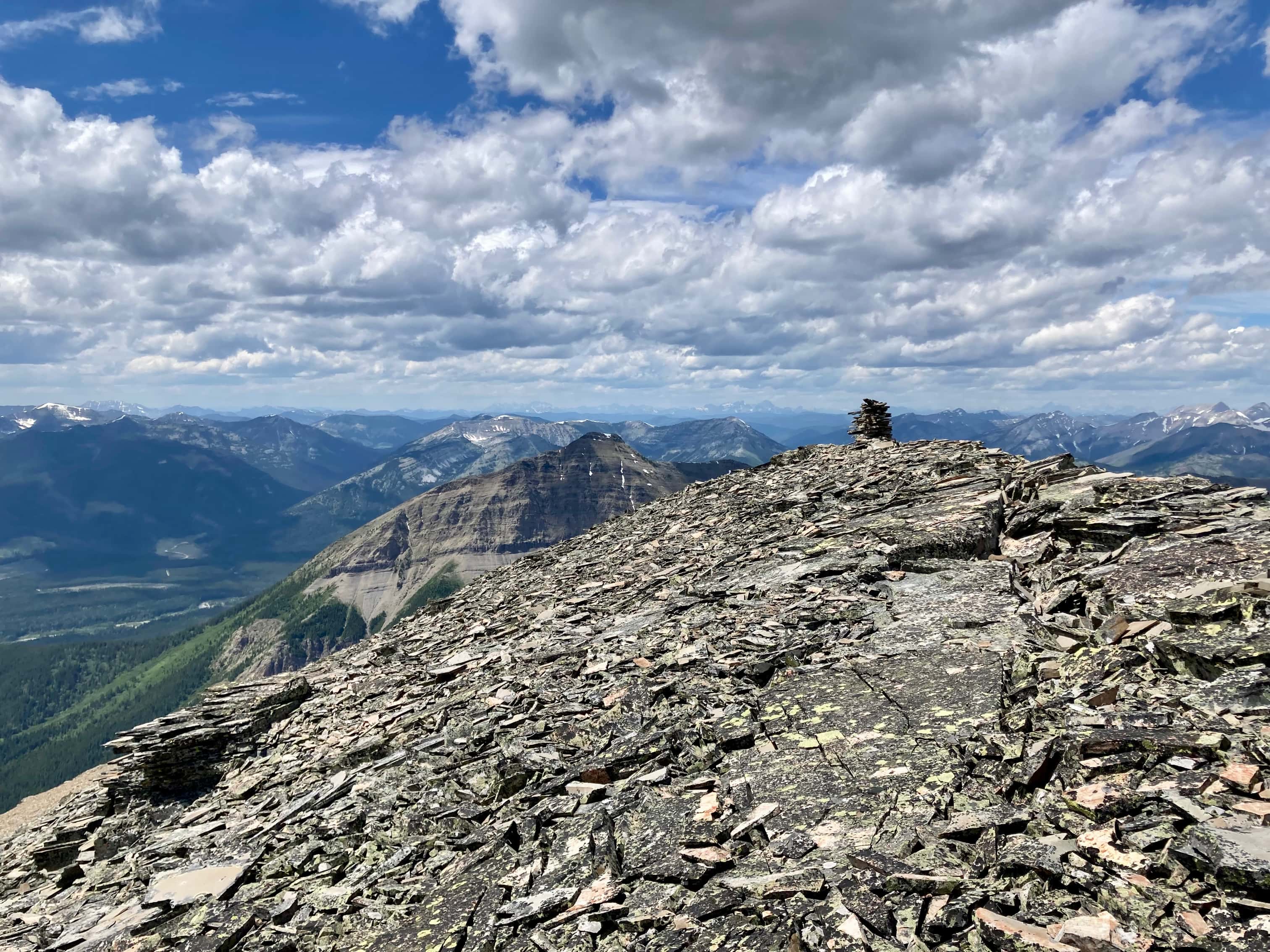
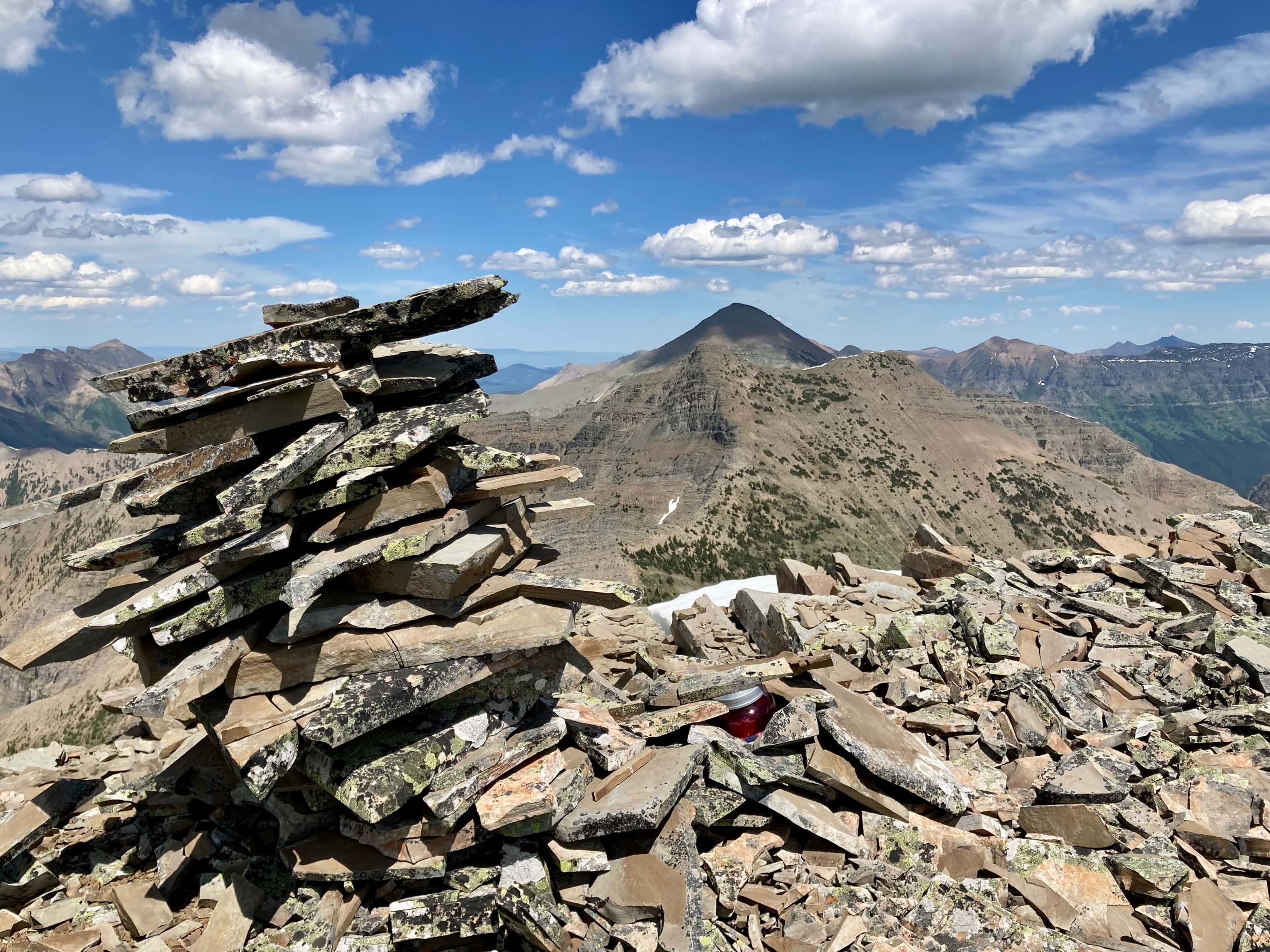
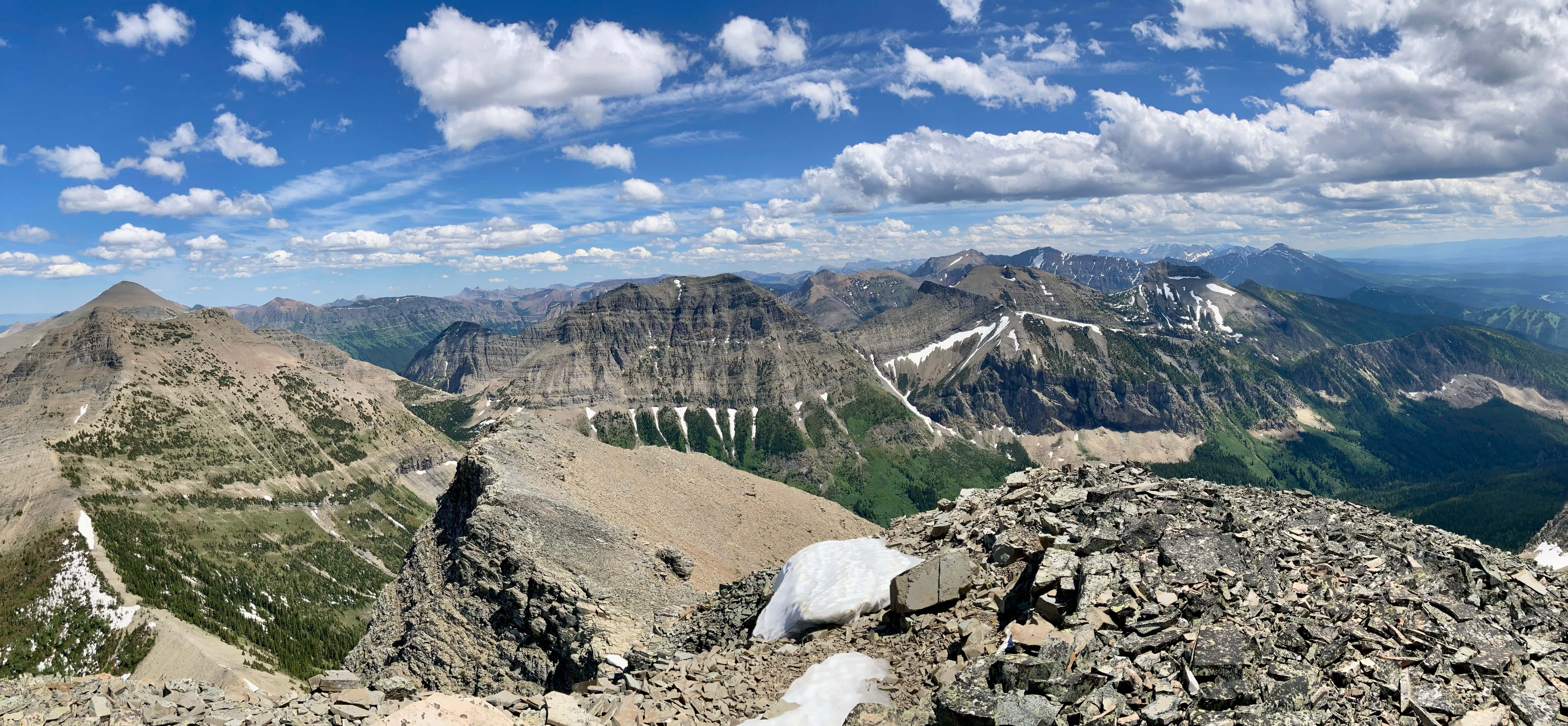
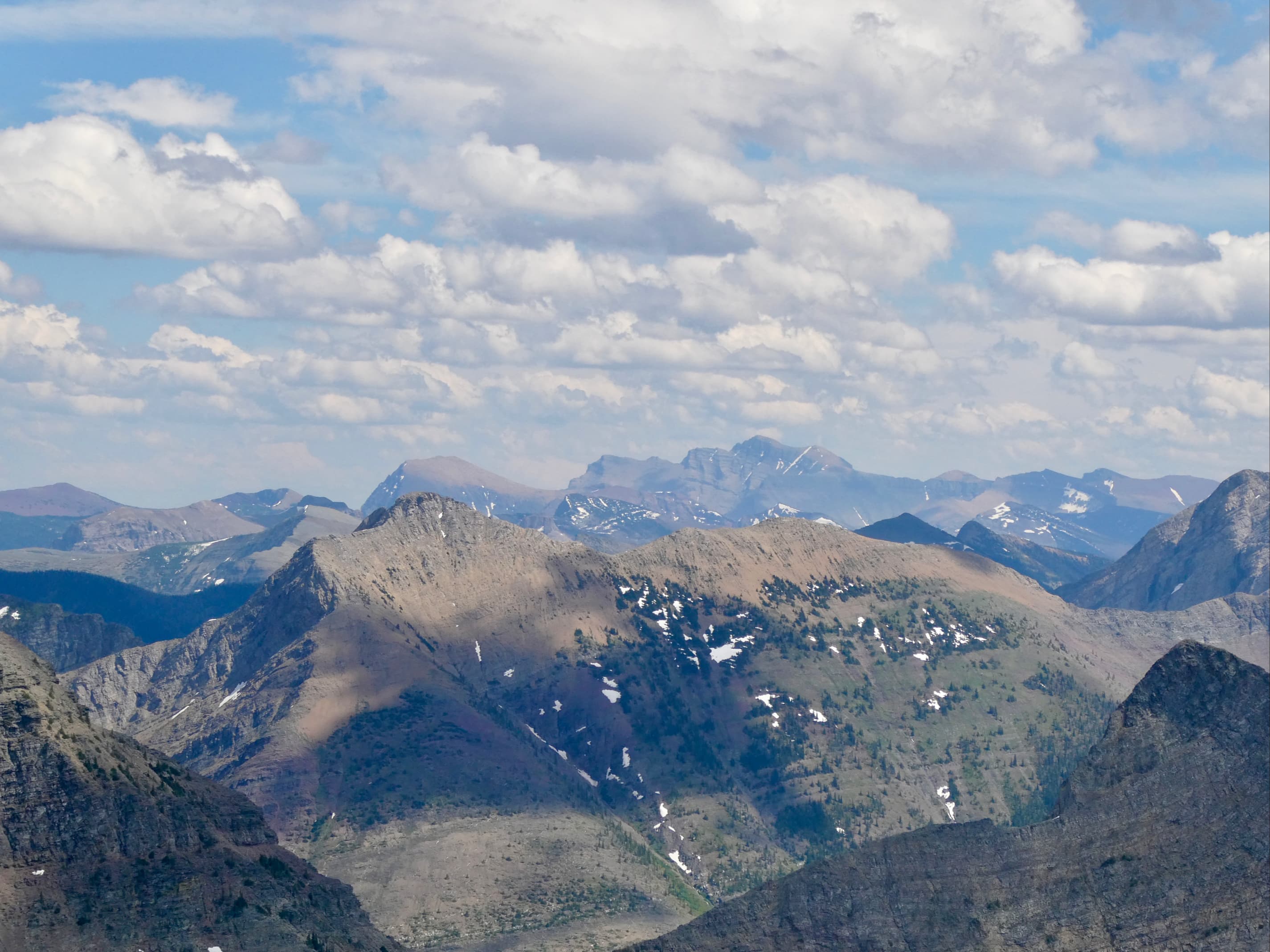
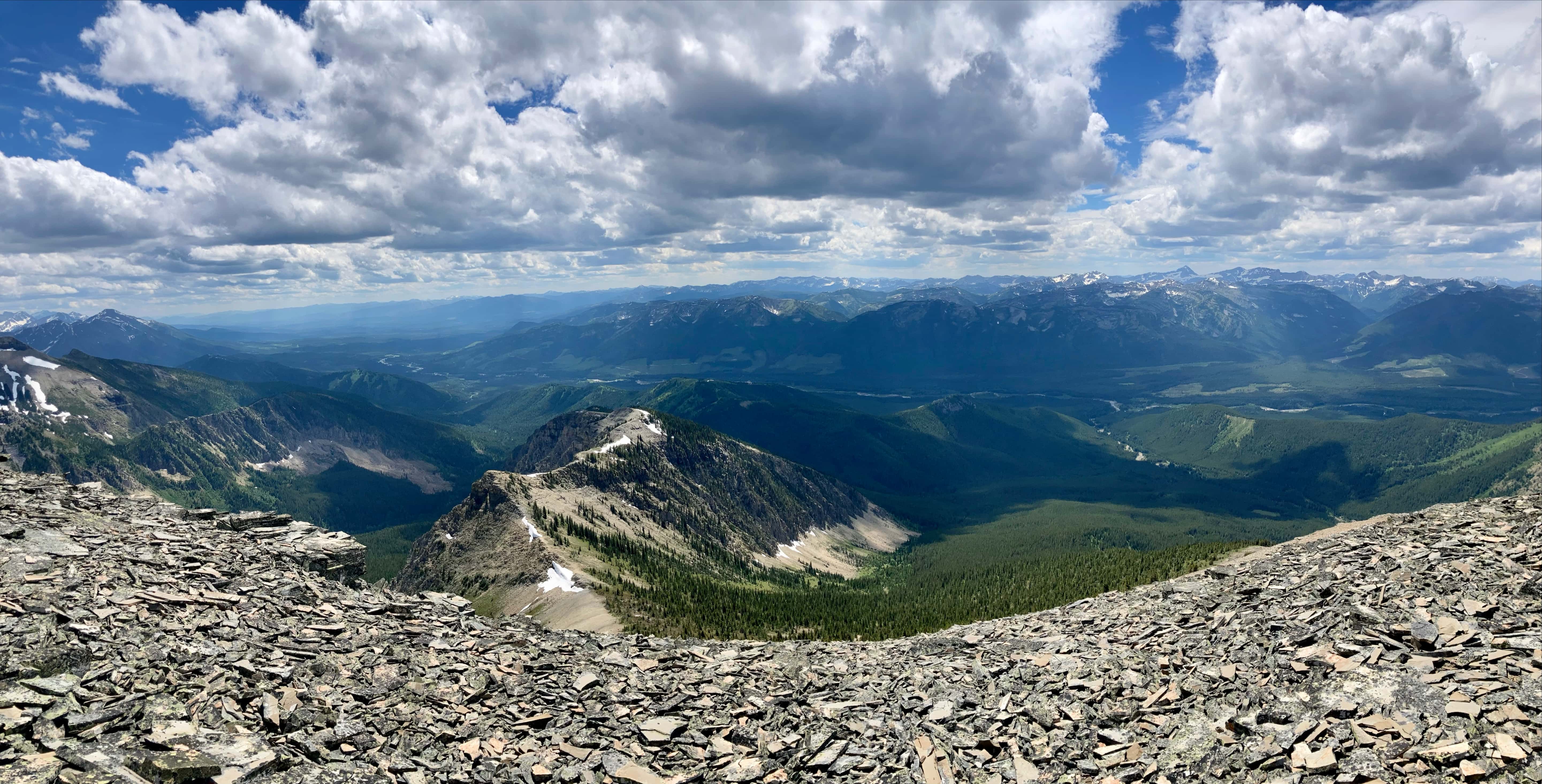
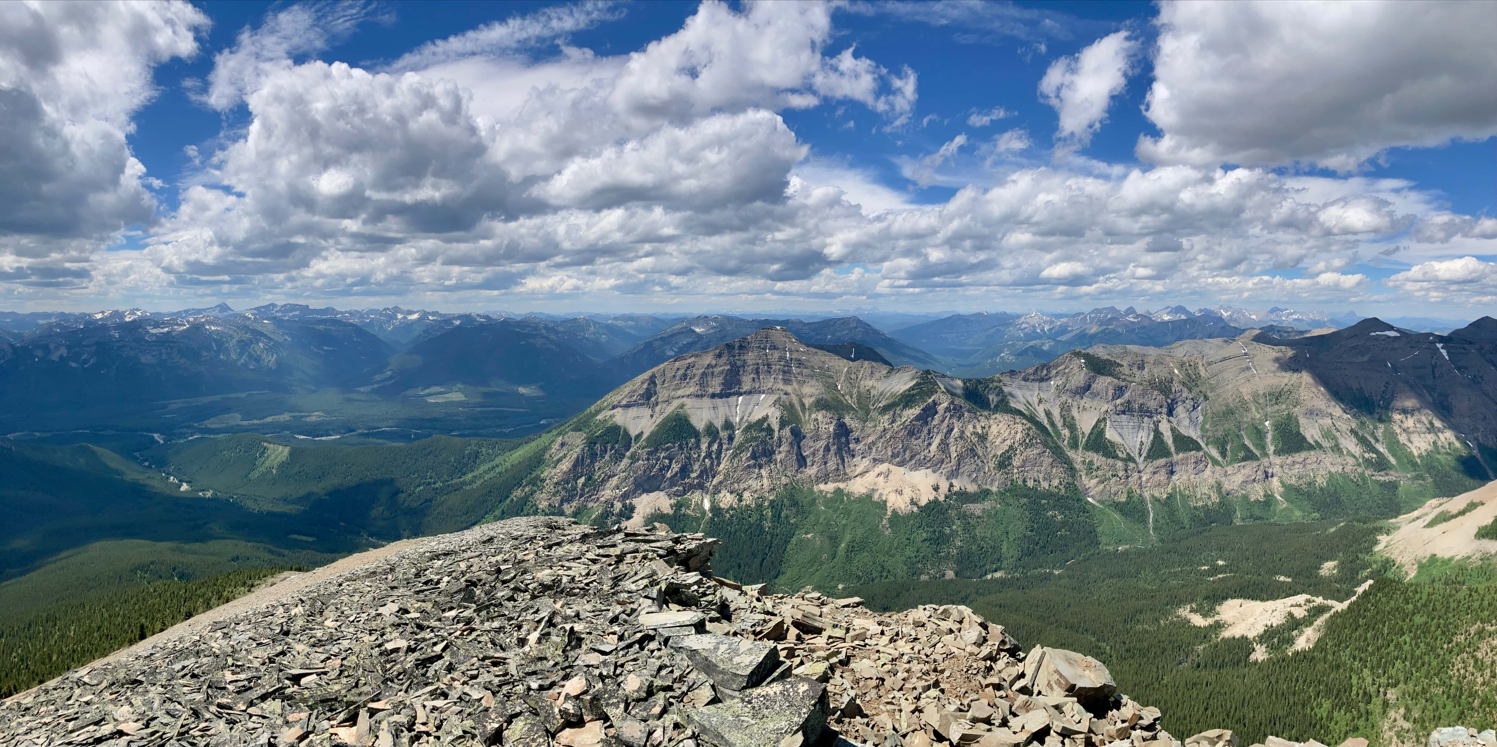
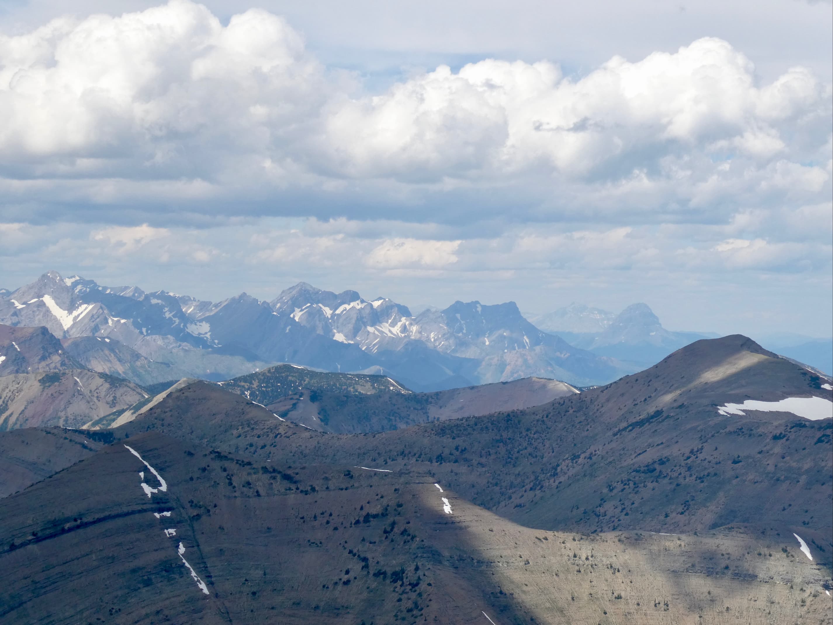
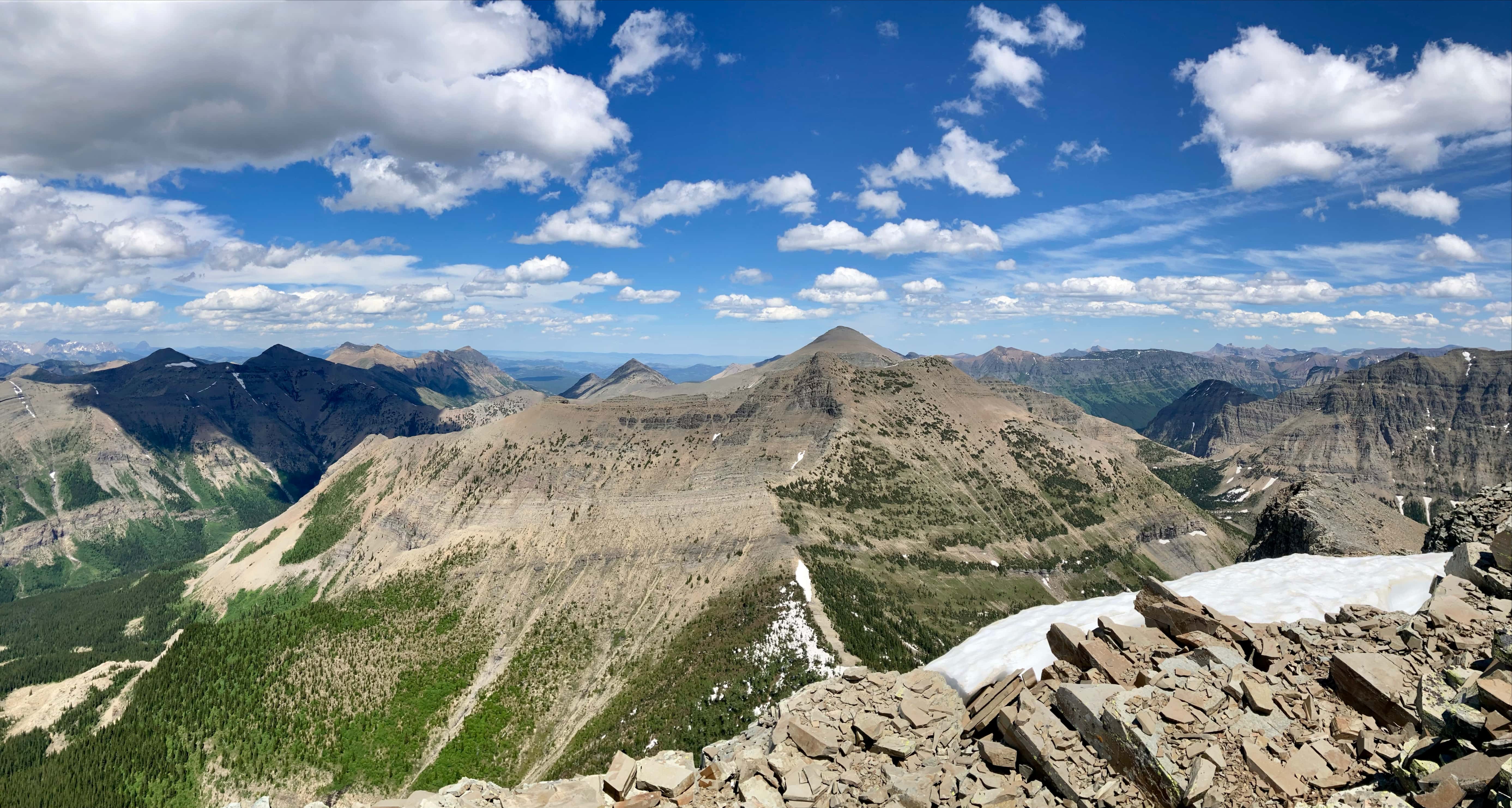
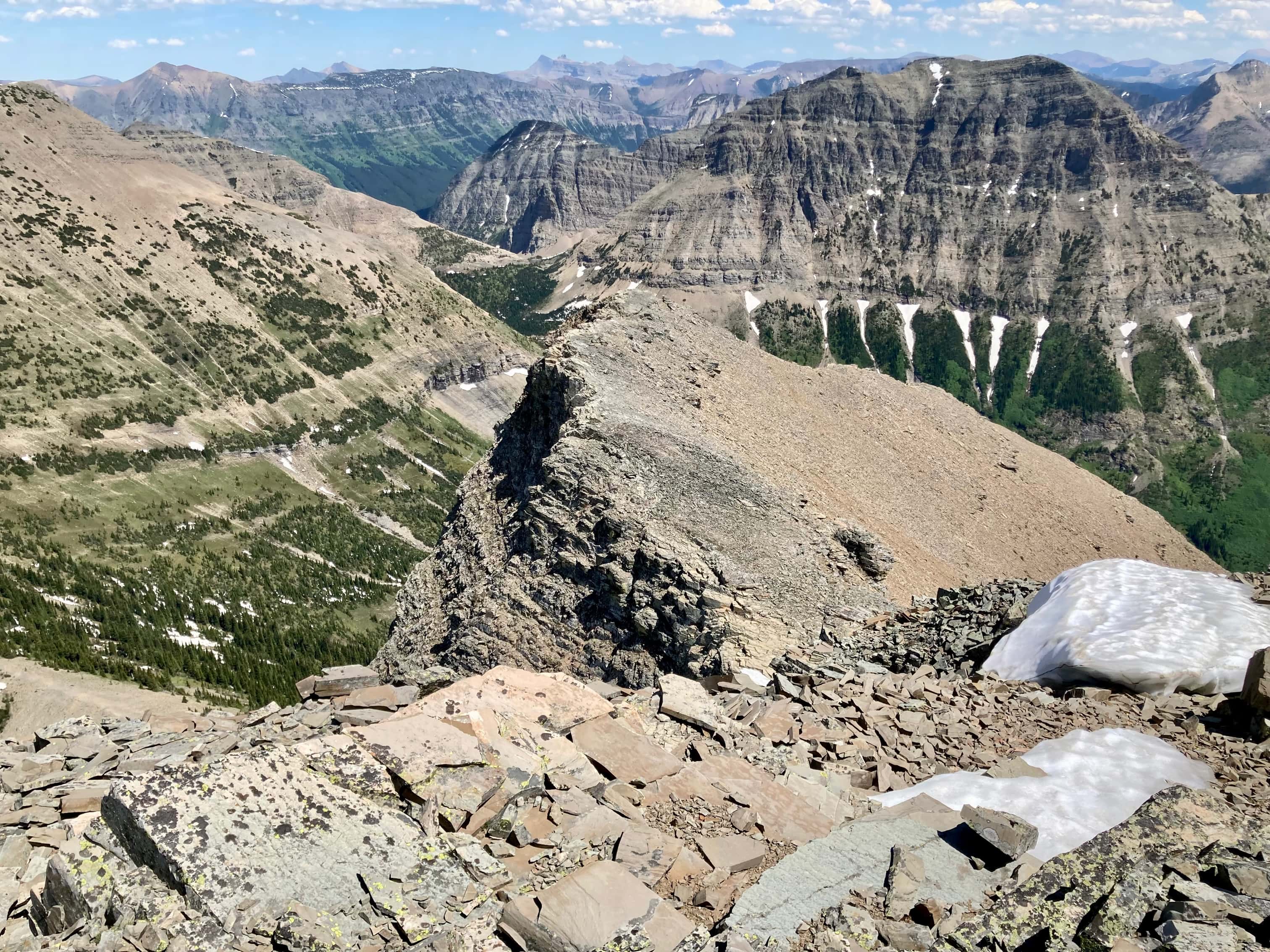
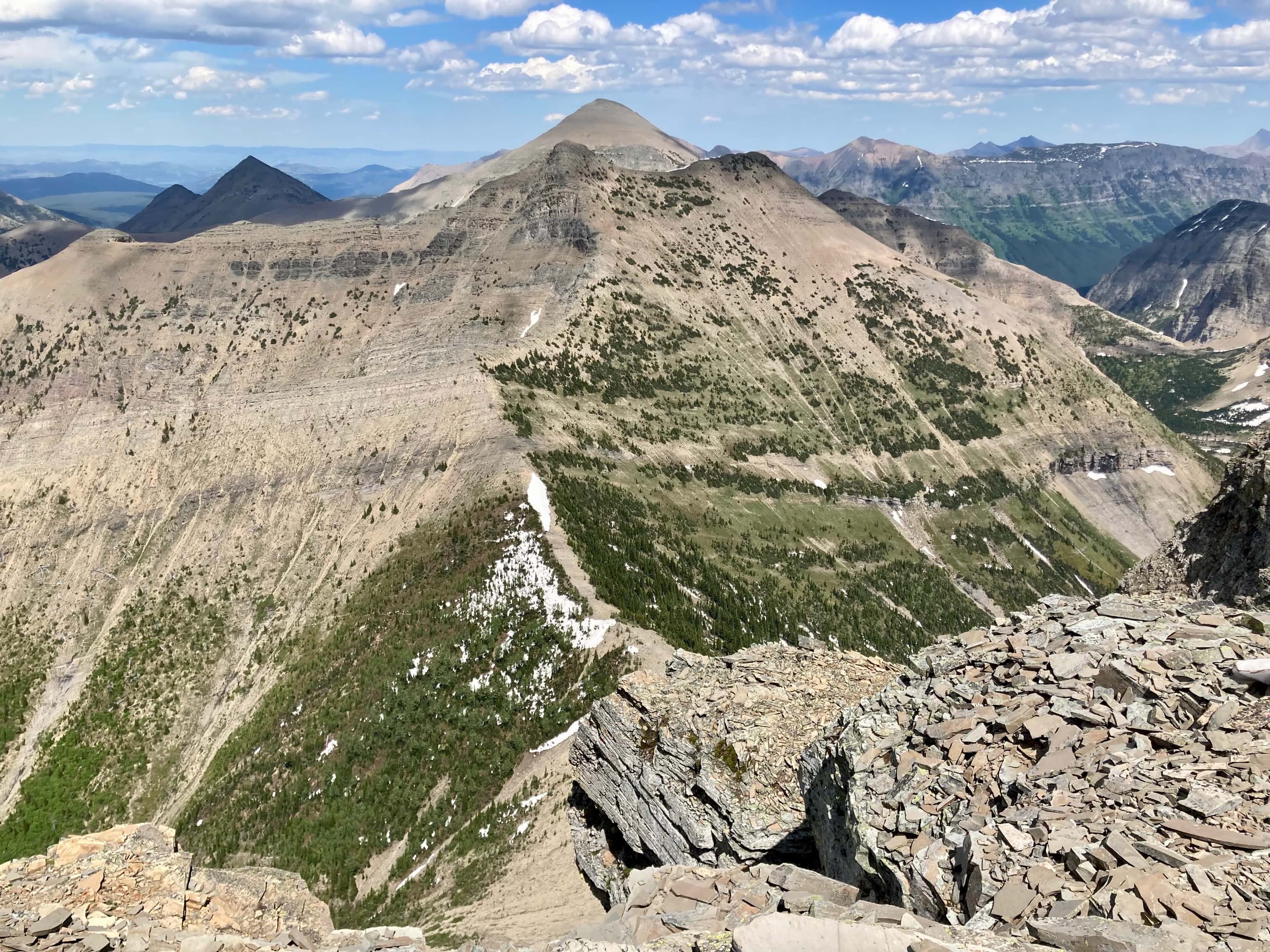
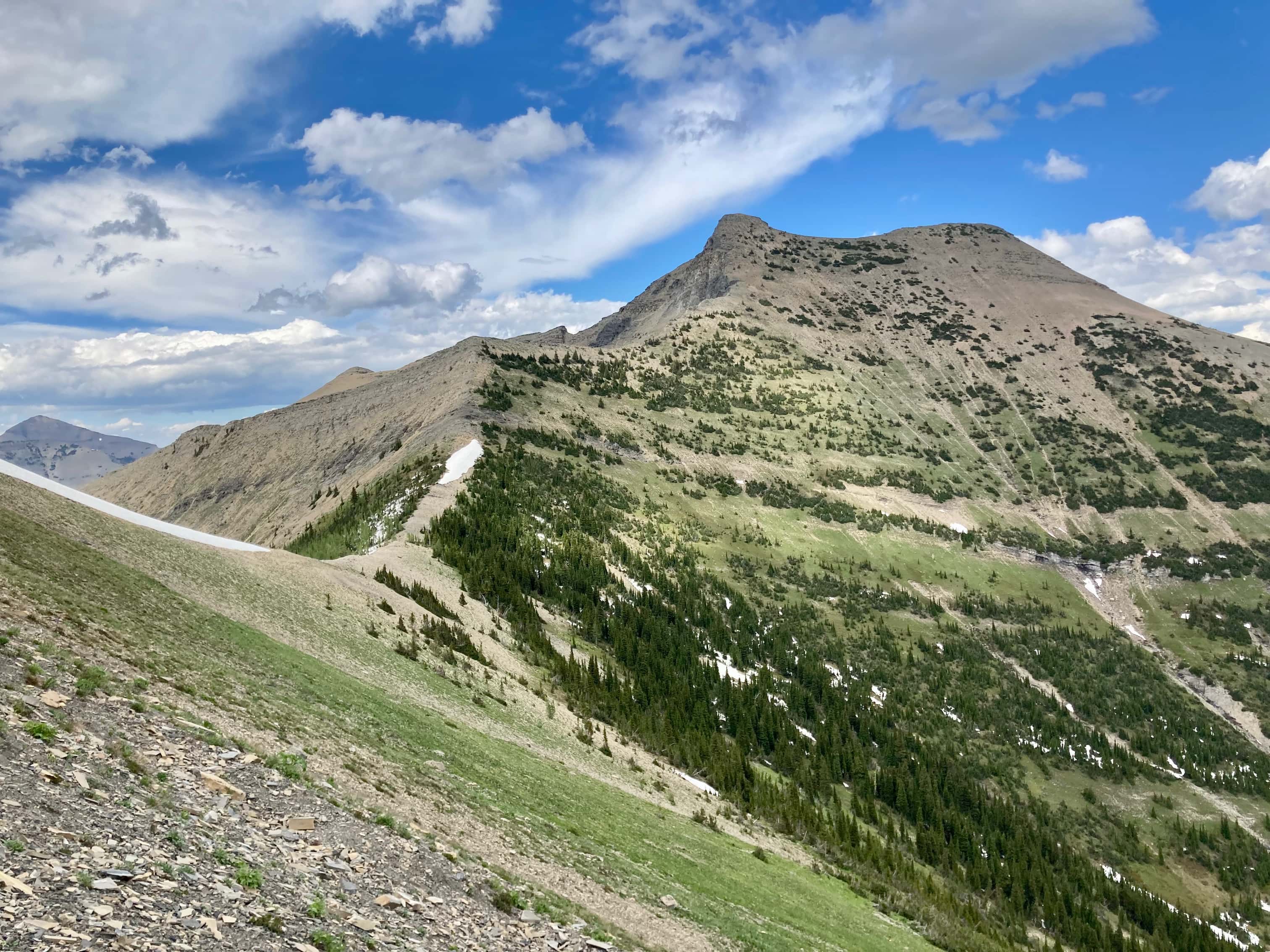
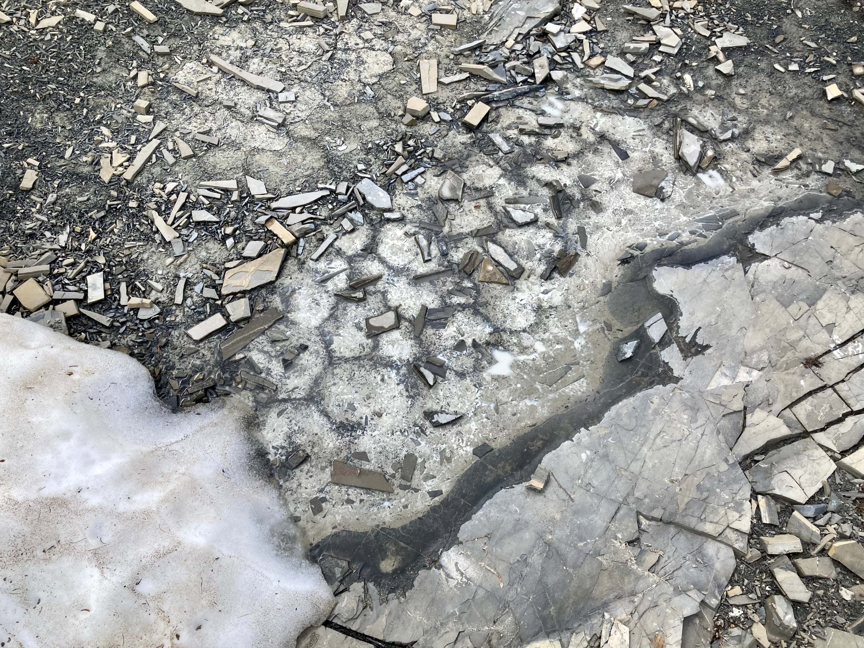
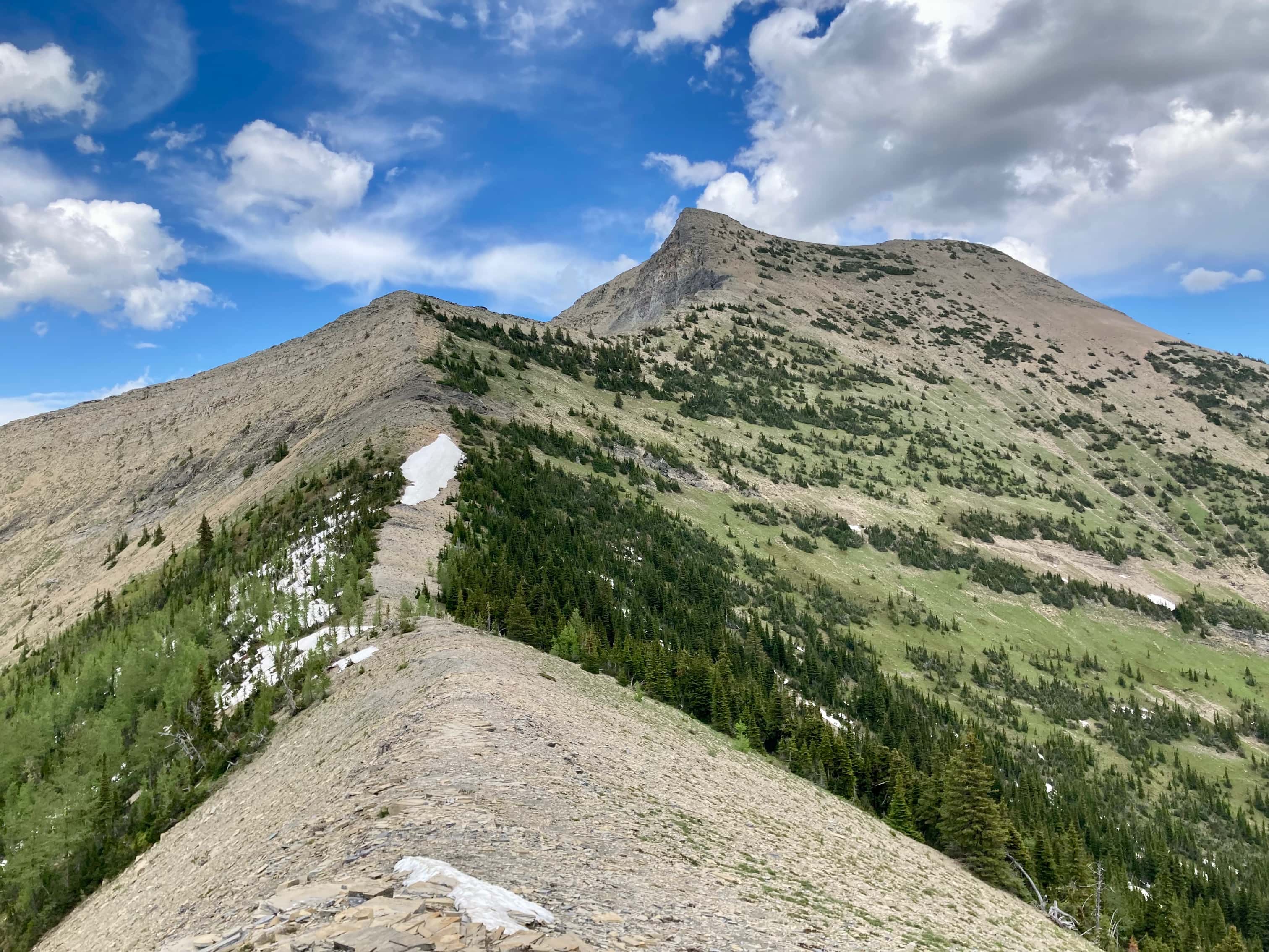
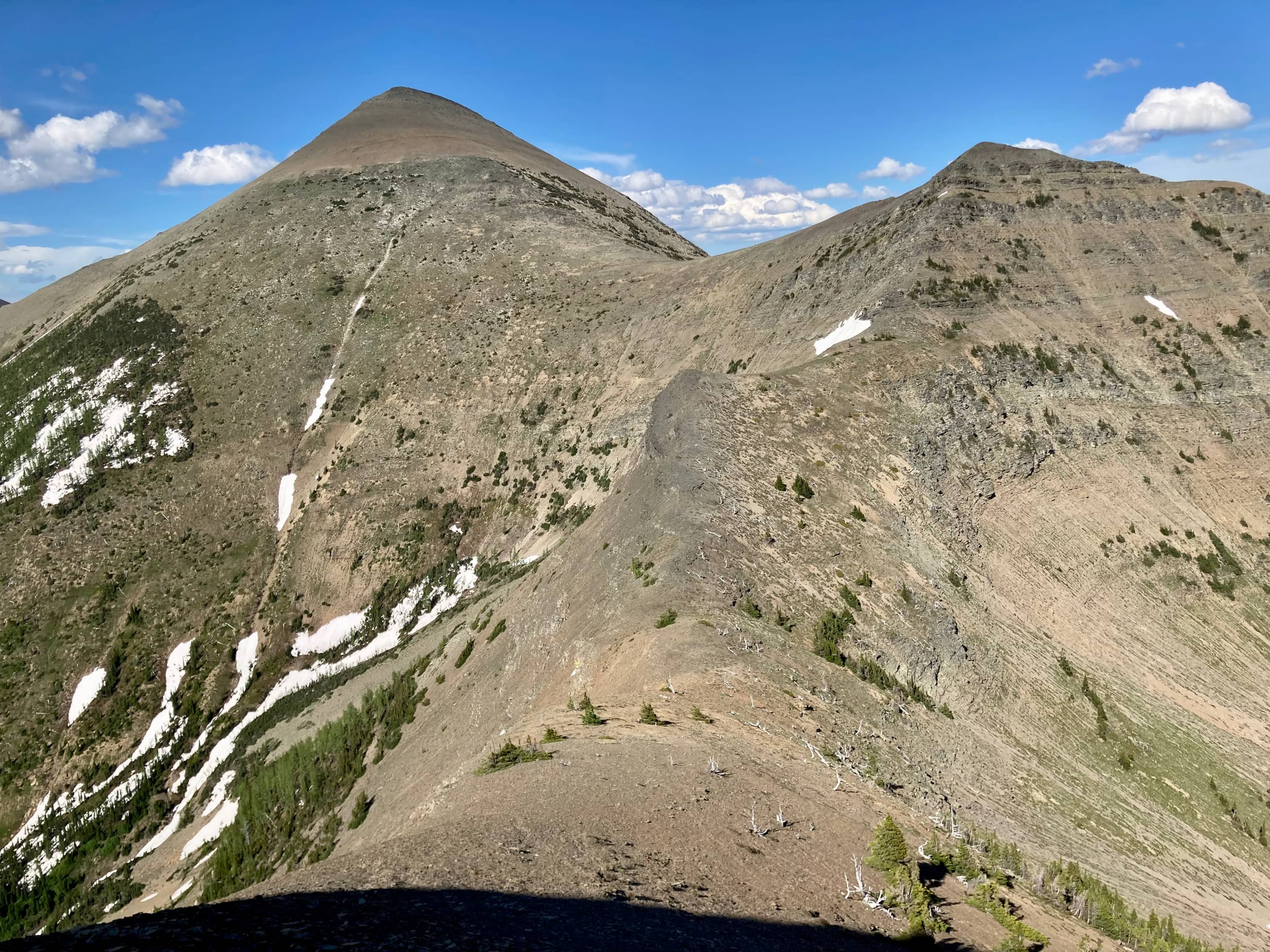
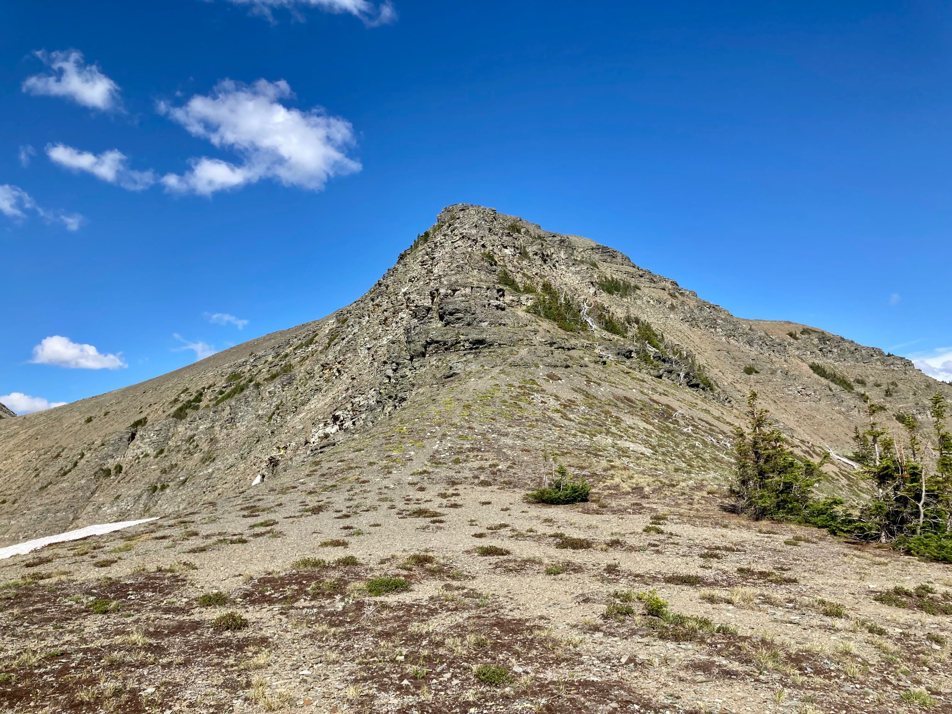
Route overview looking northwest.Mount Haig was looking impressive that day. As in my Mount Haig post, we crossed over the creek when we reached the first clearing containing the small white boulder. I once again bushwhacked to the ridge. Because we returned the same way this time, though, I discovered that there is a very well defined path through the bushes up to the ridge. It was very obvious coming back down. I’ve just been a short distance left of it both times I ascended.Pink Mountain-heatherWe ascended Haig until we were a short distance below the white cliffs and began our traverse to the left.Looking at “Middle Kootenay Mountain” to the south during the traverse. Officially Haig S3.Typical terrain for the traverse. Up ahead, the top of “Sock Hill” is visible.The col between Mount Haig and Sock Hill now in full view. Boot Hill’s lower and true summits are visible in the background.Setting off on the easy walk to the top of Sock Hill. The real fun was in climbing down the other side to the col between it and Boot Hill. This involved straightforward hands-on scrambling.Moss campion.Looking towards Boot Hill’s east ridge. Not exactly a “hill”. We spent some time looking at the snow patch to the left of the ridge. We weren’t sure what kind of scrambling we were in for if we stuck to the ridge in the area of the cliffs, but deviating left onto the snow didn’t look like a good option. It turned out to be “moderate” terrain with a bit of route finding.Looking back after down-climbing part of Sock Hill.Down on the col, having a look at all of Boot Hill.Looking back at Sock Hill.Starting to ascend Boot Hill. As we got closer to the scrambling terrain it looked less intimidating and likely routes presented themselves. There was significant exposure to the right, which we avoided and kept in mind for the descent.Above the scrambling section there was a slog up some scree to the lower summit. The true summit is to the right.Sunlight shining through a shaft in a cornice.At the lower summit of Boot Hill we got our first proper look at Tombstone Mountain.Looking north from the lower summit.It was straightforward to get up to Boot Hill’s true summit.The tiny cairn at the summit of Boot Hill. Talking with my wife after this trip, I learned that it wasn’t obvious to everyone why a mountain next to Tombstone Mountain might be given the nickname “Boot Hill”. It is in reference to the Boot Hill cemetery in Tombstone, Arizona – the town where the Earp brothers and Doc Holiday had their legendary shootout with the Cowboys at the OK Corral.Looking east, back at Mount Haig, Sock Hill and Boot Hill’s lower summit.Looking south. Most of the named peaks in this shot are in the far background. The exception is Mount Gerry Andrews, which is the low, long mountain across the valley at the right of the frame.Looking west. Tombstone Mountain dominates the view.Looking northwestLooking northeast. Mount St. Elois and outliers, Mount Syncline, Gravenstafel Ridge and Mount Haig nearby. Peaks of the Crowsnest Pass in the distance.Looking north at Mount Darrah.Heading down to the col between Boot Hill and Tombstone Mountain. A goat trail can be seen traversing the slopes to the left, underneath some rock bands. This would have been our preferred route but we didn’t like the look of the snow. Instead, we decided to traverse above the 3rd rock band.Down on the col, staring Tombstone Mountain in the face. We could see that the mountain seemed to have a cleft in it. The summit is on the right part of the mountain as seen from this angle.Traversing. From this point I ascended a little higher and stayed above the third rock band.Looking south during the traverse.Once around the corner to the southeast aspect of Tombstone, I had a look uphill at this terrain. I was getting ready to climb it when one of my companions, Mustafa, set me straight. We had to traverse much further yet and find the gentle south ridge. After much more traversing, the south ridge came into view.Angling up to join the ridge.On the south ridge, looking up. From here it was just a steep uphill slog.The scree on the slope was comprised of wide, plate-like chunks. It was a pain to ascend. As soon as I saw something resembling rocky outcrops I headed straight for it.The cairn finally came into view.On the summit of Tombstone Mountain.Looking southeast. Mount Haig, Boot Hill, Barnaby Ridge, Middle Kootenay Mountain are visible. Other Castle peaks, as well as Waterton and Glacier Peaks are in the far background.Mount Blakiston in Waterton in the distance.Victoria Peak, Castle Peak, and Windsor Mountain.Looking southwest.Looking northwest.Looking at the peaks in the Crowsnest Pass area. Crowsnest Mountain is in the background on the right. Mount Coulthard, Mount Ptolemy, and outliers of Mount Darrah are also visible.Looking northeast. Mount St. Elois and outliers, Syncline Mountain, Gravenstafel Ridge, Mount Haig, and Barnaby Ridge are visible.As mentioned above, the top of Tombstone Mountain was divided by a cleft. This is the view down to the part on the other side of the divide.Contemplating our long trip back.Traversing back around Tombstone to the col between it and Boot Hill.Checking out some hexagonal patterns in the rock.Time to climb up and over this “hill” again.Almost up Boot Hill. At roughly the level of the black rocks we traversed across to the east ridge to save us some ascent. Unfortunately, that added more side-hilling to a day that had already exceeded its quota.Descending the east side of Boot Hill, contemplating the ascent of Sock Hill. The sun was getting lower and the shadow of the mountain started to fall along our path.Alright, gotta climb one more thing.Sock Hill behind us. Time to traverse back to Mount Haig’s east ridge.Evening sunlight on “Middle Kootenay Mountain”. We had an uneventful descent back to the ski resort parking lot. Very sore feet notwithstanding, this was a great way to spend a long summer day.


Breathtaking photos as always! 😁 Your “…a shaft in a cornice” is a classic.
LikeLiked by 1 person
Thanks for reading 🙂
LikeLike