June 18, 2022. A scenic long-distance ridge walk in the Castle Wilderness.
- Region: Castle Wilderness. Traditional territory of the Blackfoot, Tsuu T’ina, and Ktunaxa First Nations
- Distance: 30.4 km loop
- Total Ascent: 2127 m – there is substantial and repeated loss and regain of altitude along the route
- Elevation of Objective: 2634 m (the summit of Loaf Mountain)
- Total Time: 13h 28m
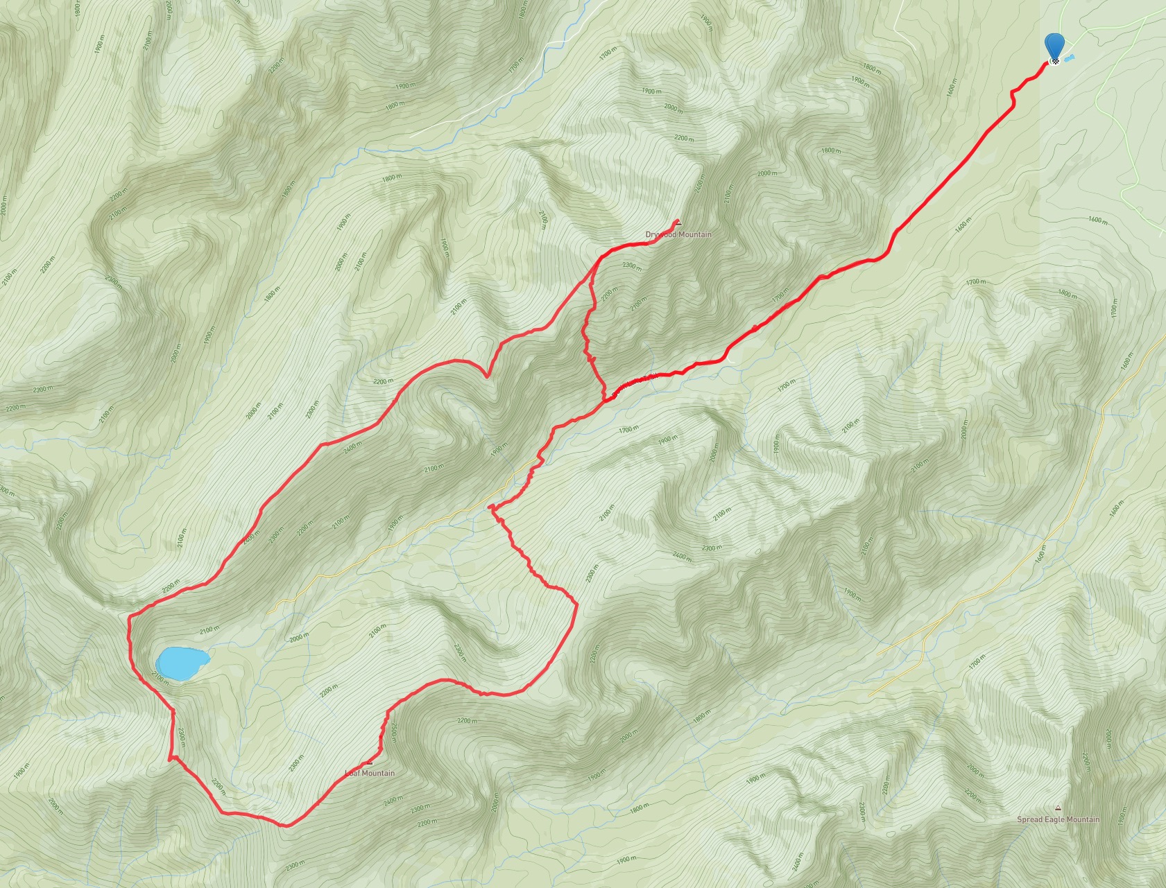

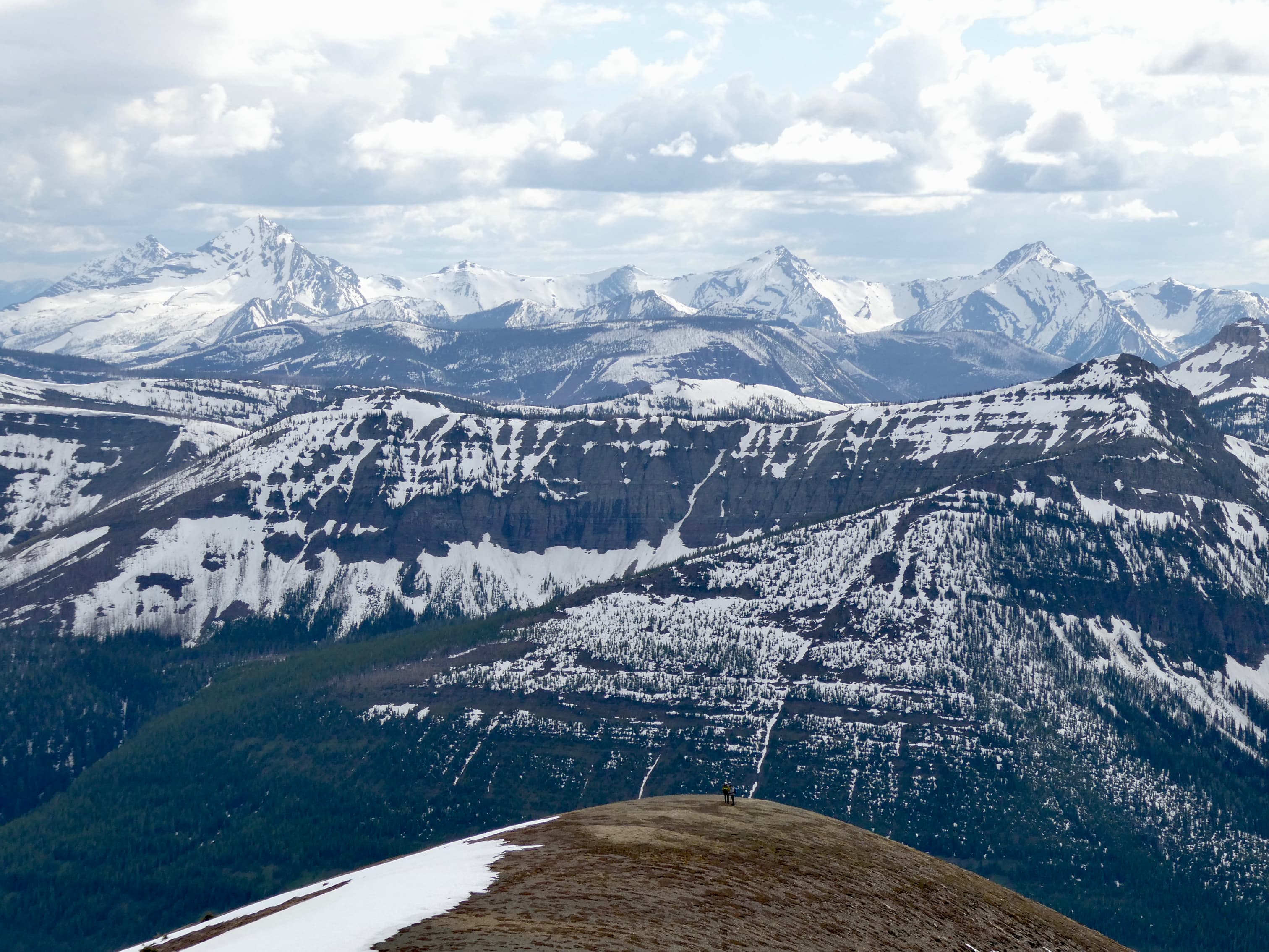
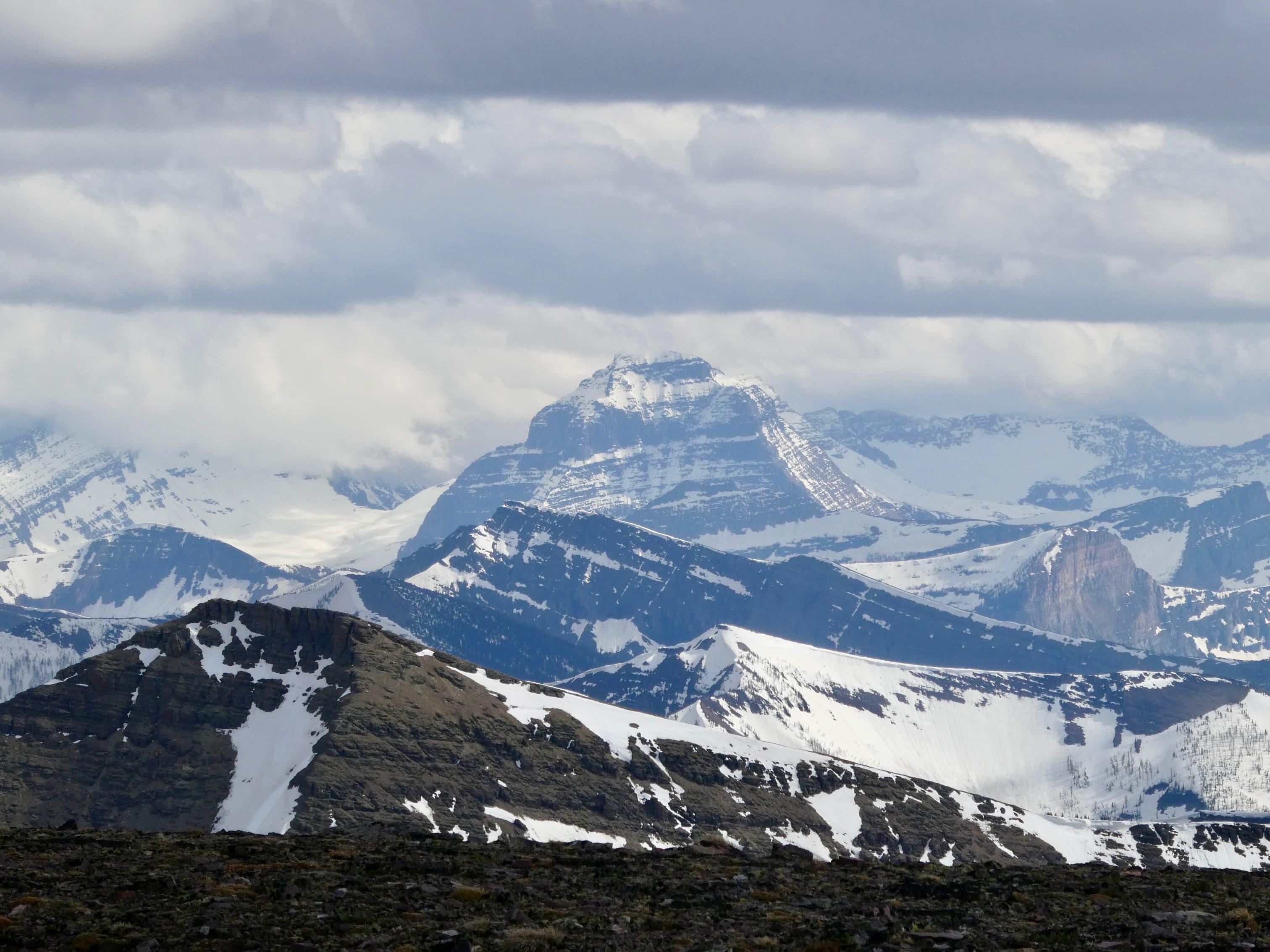
The long days around the time of the summer solstice call for long hikes, so I was pleased to be invited to join a group tackling one of the Castle’s “Ultimate High-Level Ridgewalks”: The Drywood Mountain to Loaf Mountain traverse. The “ultimate” label is from Nugara’s More Scrambles in the Canadian Rockies, and I think it’s an apt descriptor. After an initial bike ride and then a climb out of the valley bottom we spent the entire day walking on a high ridge surrounded by mountain peaks including views into British Columbia and Montana. Clouds came and went through the day but we were spared any major precipitation and even the wind stayed calm. The only hiccup in the day was near the end when we encountered difficulties finding a safe place to cross a very high and fast South Drywood Creek.
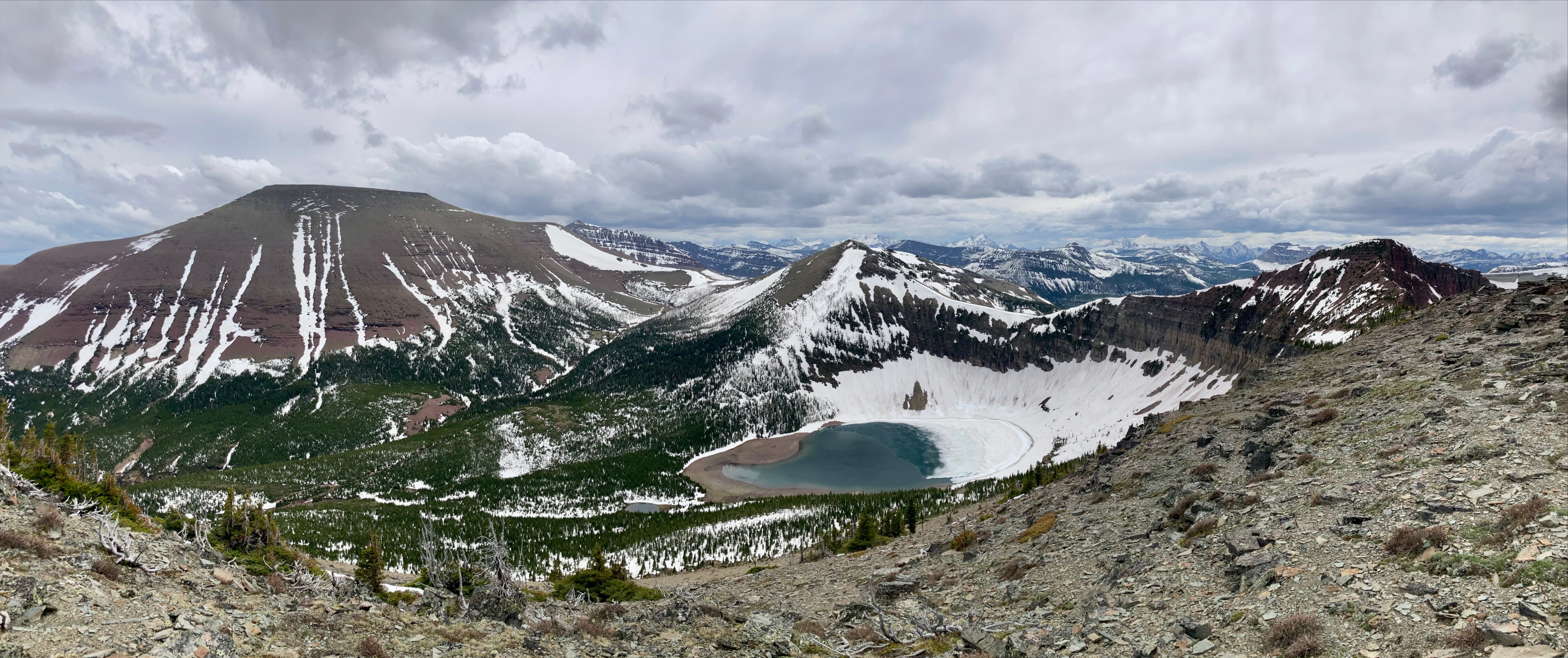
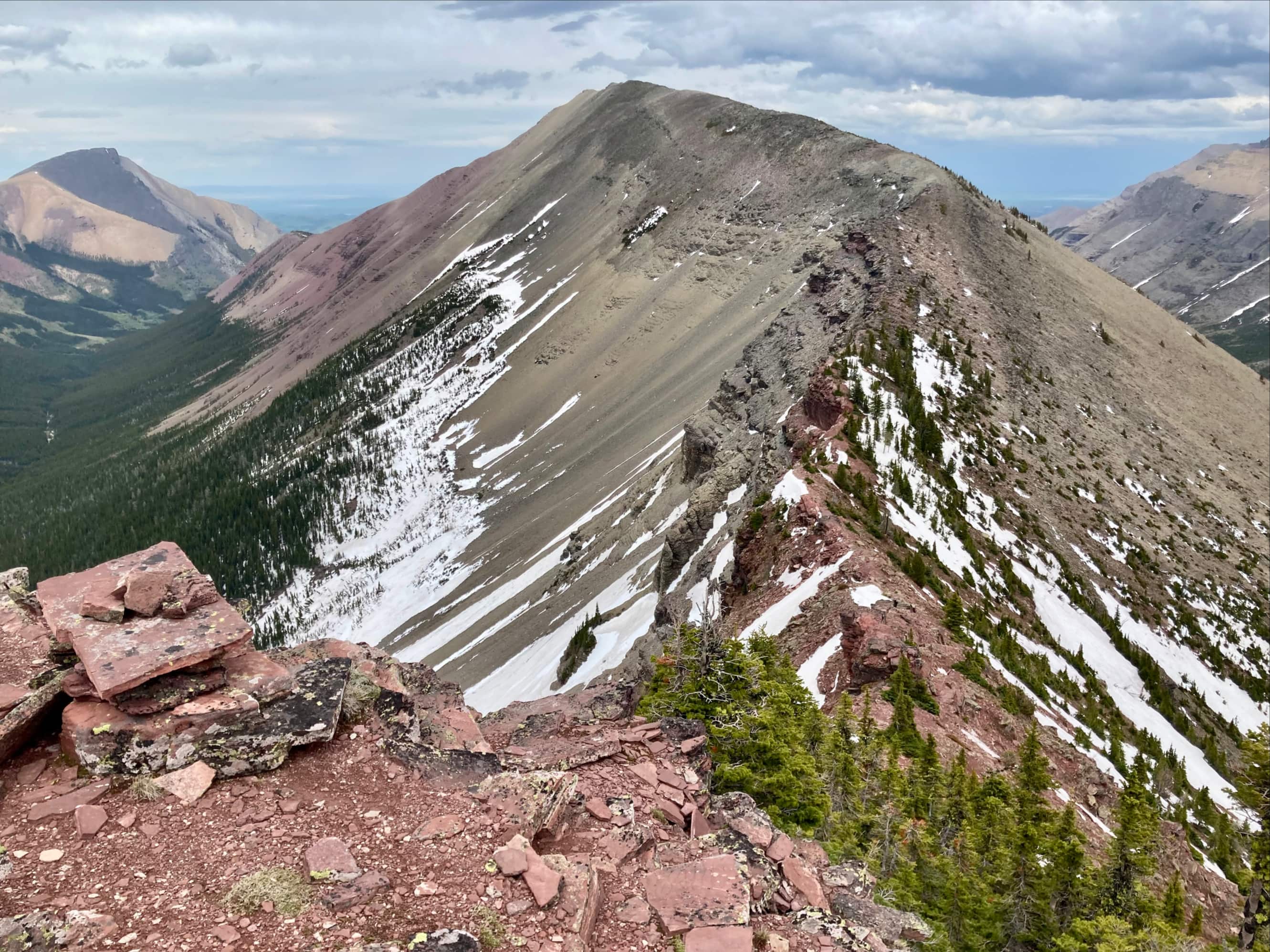
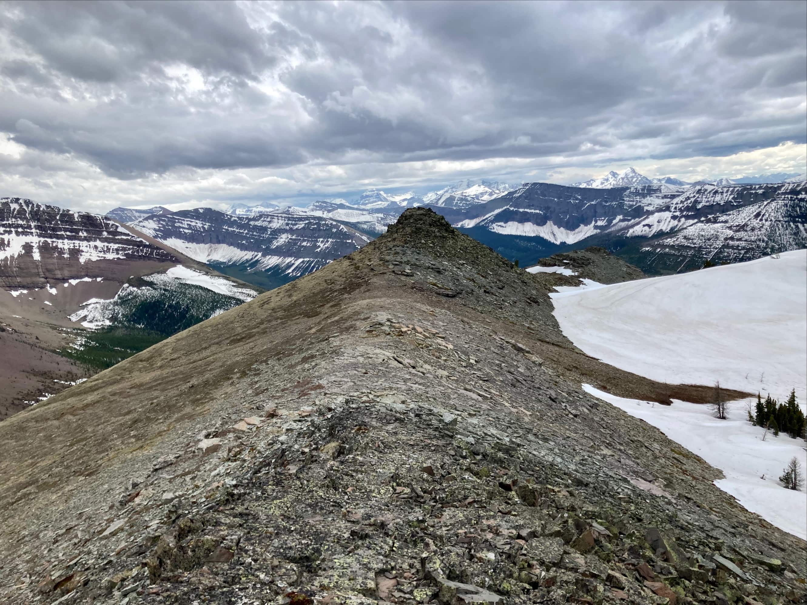
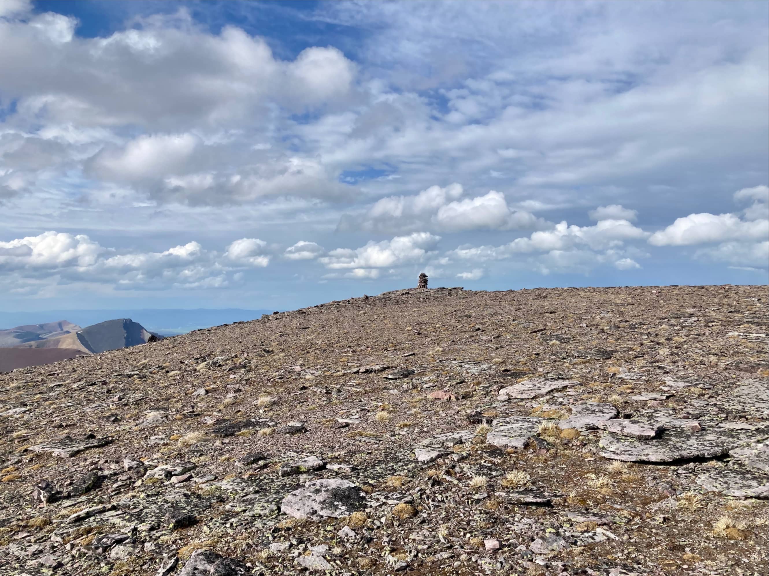
Access and the initial approach on bicycle is the same as for Drywood Mountain. Detailed information and pictures can be found in my post from 2020. That trip involved a ridge walk to the western high point of Drywood Ridge then descending down to Bovin Lake and returning along the trail in the valley bottom. In order to complete the traverse to Loaf Mountain, we instead remained on the ridge and followed it west towards a red argillite peak overlooking Bovin Lake which Dave McMurray named “Little Bo-peak”. After tagging that summit we descended along the ridge and then climbed a second little peak which McMurray named “Little Bo-blue”. Following the ridgeline as it hooked around we then turned east and ascended Loaf Mountain along its western ridge (I’d been up that way before on a sunny day in 2018).
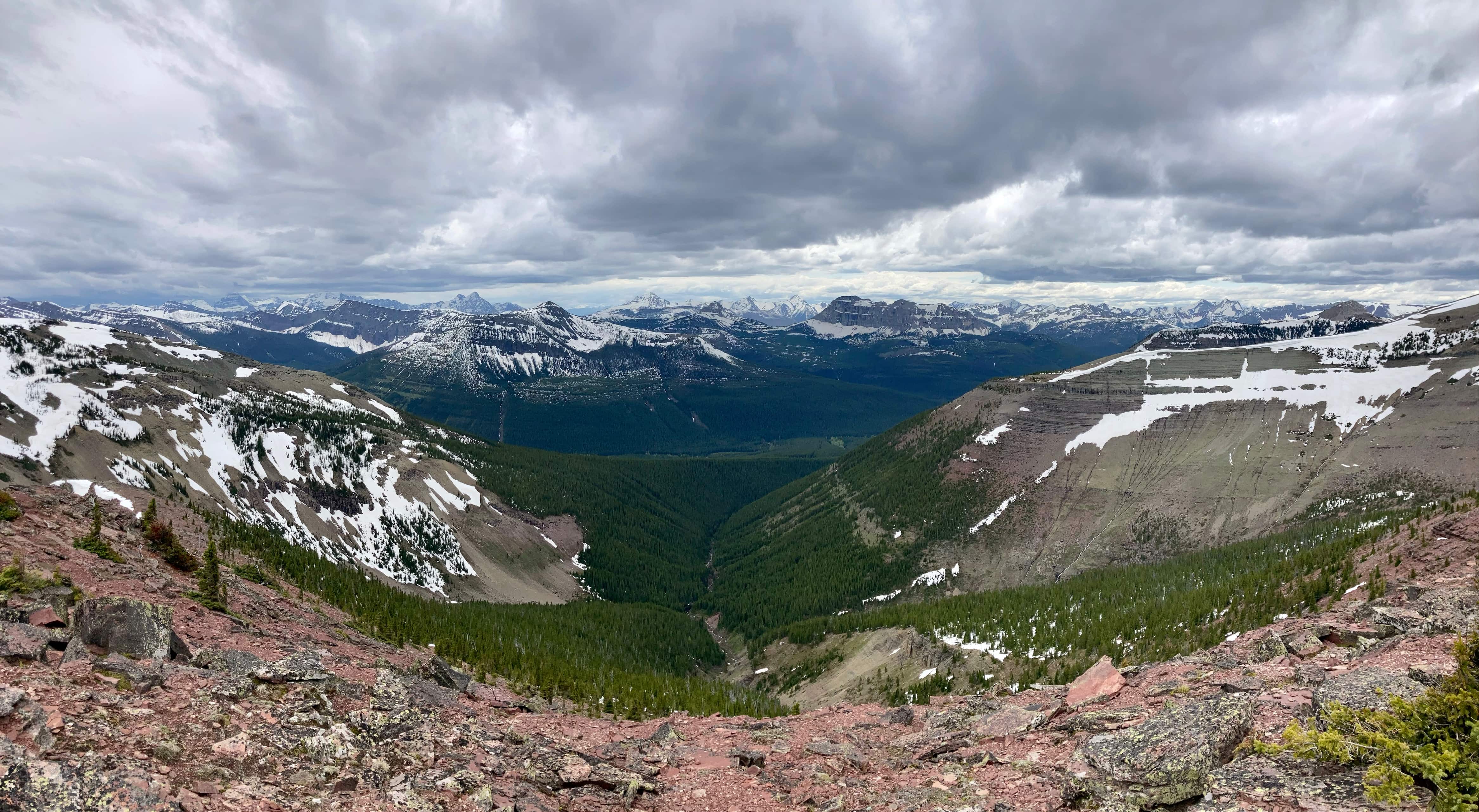
Once we reached Loaf’s summit we descended by continuing to follow the ridge east to a col about 2.5 km from the summit. From there we could see scree slopes all the way down to the valley bottom. We descended to creek level then crossed it to get back on the Bovin Lake trail and followed it back to our bikes.
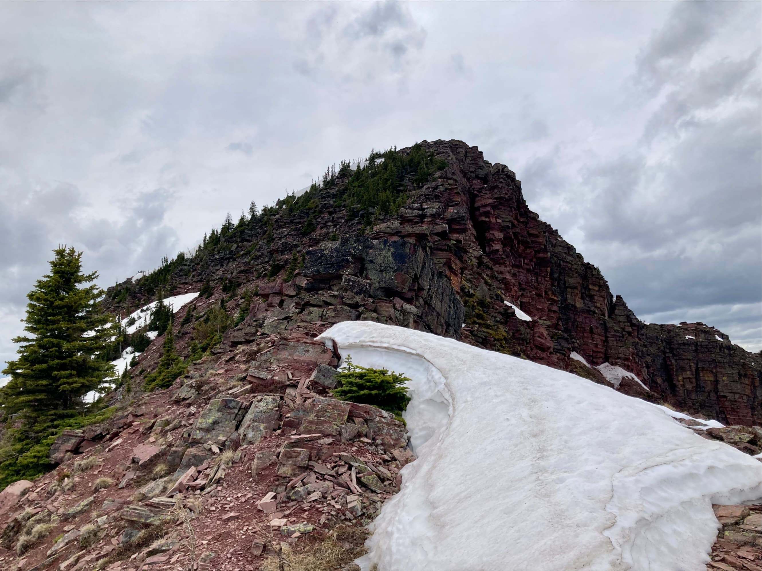
Getting to Drywood Mountain’s summit involves traversing a narrow ridge that can feel exposed in places, but there are no tricky sections. Ascending “Little Bo-peak” involves brief hands-on scrambling without any significant exposure provided you don’t stray too far to climber’s right. The rest of the trip was a prolonged hike, challenging due to its length and the significant altitude loss and gain through the day.
As it turned out, our trip’s greatest challenge was getting across South Drywood Creek at the end of the day. We were expecting higher than usual water levels given that the melt this year has been late and the fact that we’d be crossing late in the day. Our boots would get wet but we would be at the end of our day, so no big deal. What we weren’t expecting was the deep, rushing water that we encountered. The crossing point we were going to use was the one corresponding to the GPX track on the Topo Maps Canada app. Once we were there we could see that it was likely the best spot to cross in normal conditions. It was one of the few places where both banks were free of dense vegetation. But after a brief discussion we decided we needed to look for another place. This wasn’t easy because of the dense underbrush all along the banks of the creek. We knew there was a waterfall a short distance downstream. Following vague animal trails through some horrendous underbrush we went downstream and ascended the slope a bit. We finally got to a point where we could identify a place downstream of the waterfall where the creek widened and both banks were clear. We were able to cross safely, but this delayed us by a little more than an hour. We finished our day with wet boots and head lamps. In retrospect, we should have expected difficult water conditions and since none of us had been down to the creek in that area before we shouldn’t have trusted that we could get across. On that day, in those conditions, it would have been wiser to descend from Loaf Mountain via Bovin Lake and walk out along the trail.
Click the pictures in the gallery below to access higher resolution images. The photos will pick up the trip where my prior Drywood Mountain post left the ridge.