May 21, 2018. An easy scrambling route up a popular peak in the Castle Wilderness.
- Region: Castle Wilderness. Traditional territory of the Blackfoot, Ktunaxa, and Tsuu T’ina First Nations.
- Distance: 7.4 km round trip
- Total Ascent: 722 m
- Elevation of objective: 2255 m
- Time: 3h 16m
- Safety and Disclaimer
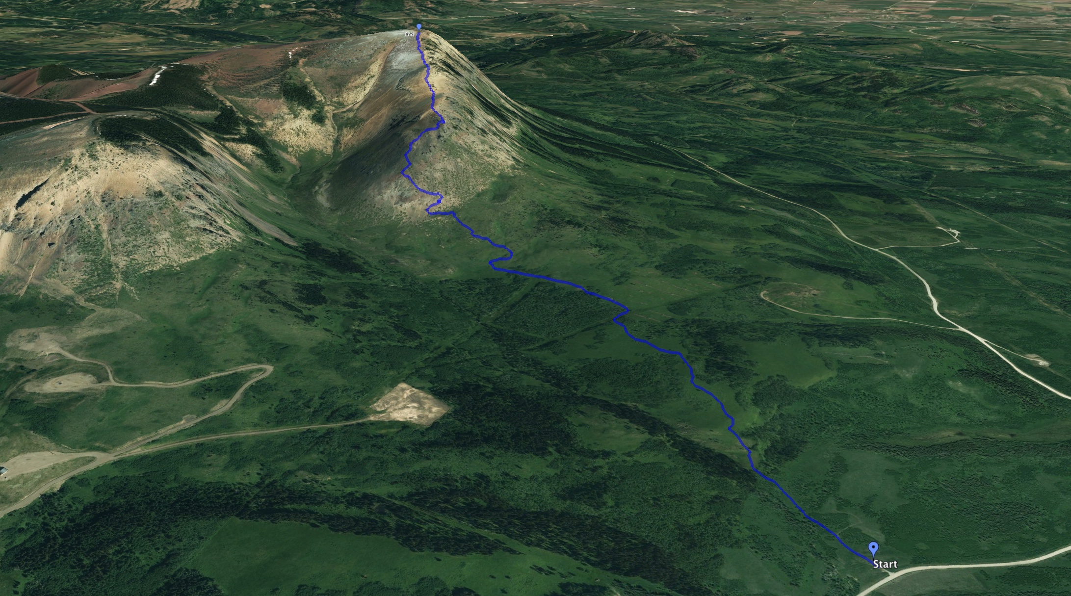
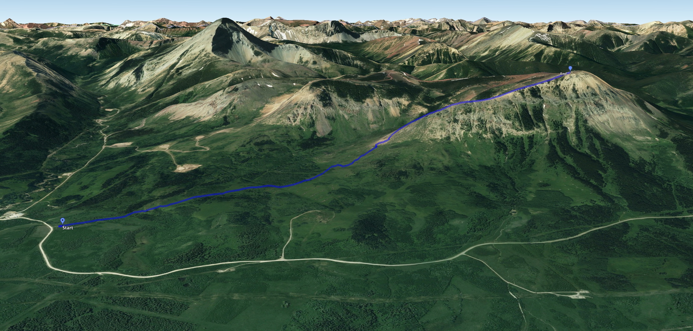
 Topographic map of my route (red line) and other possible routes (white lines).
I have been wanting to climb Prairie Bluff (also known as Corner Mountain) for a long time. It’s a low peak in the front ranges of the Castle Wilderness area near Pincher Creek, Alberta. There are several ways up to the peak, including what seems to be a service road which follows a long, circular path up some outliers until it reaches very near the summit. I’ve also found some trail reports and GPS tracks describing a route that goes up the western aspect of the southern spur. I decided to follow the south ridge scrambling route described in Andrew Nugara’s More Scrambles in the Canadian Rockies 3rd ed. It promised an outing that would be a an easy scramble rather than a steep hike.
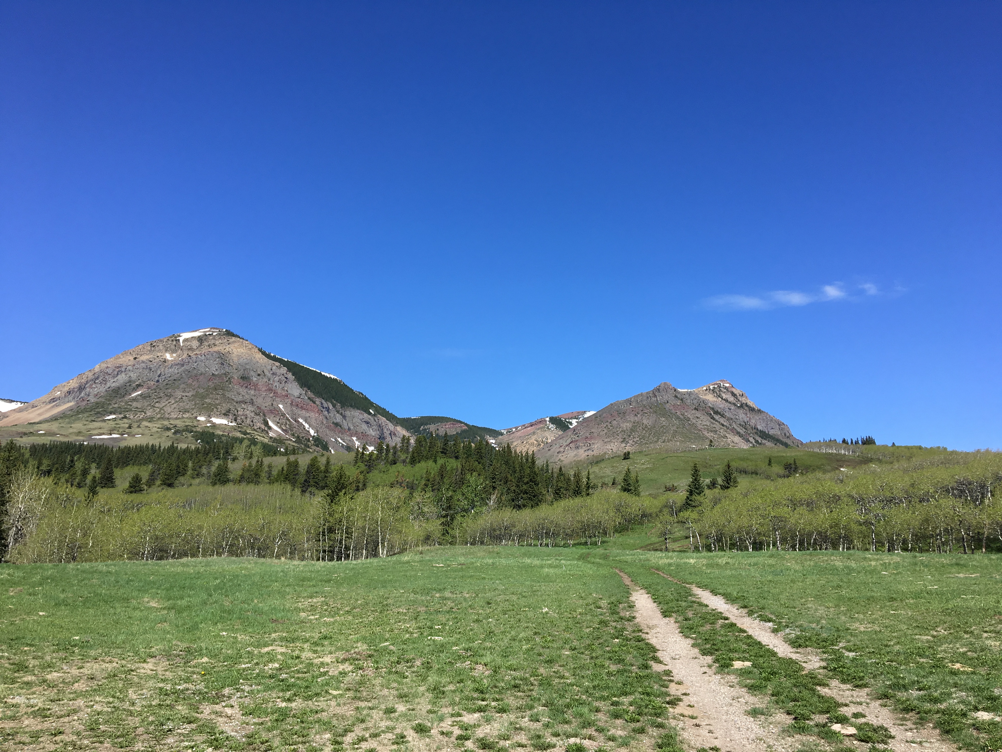
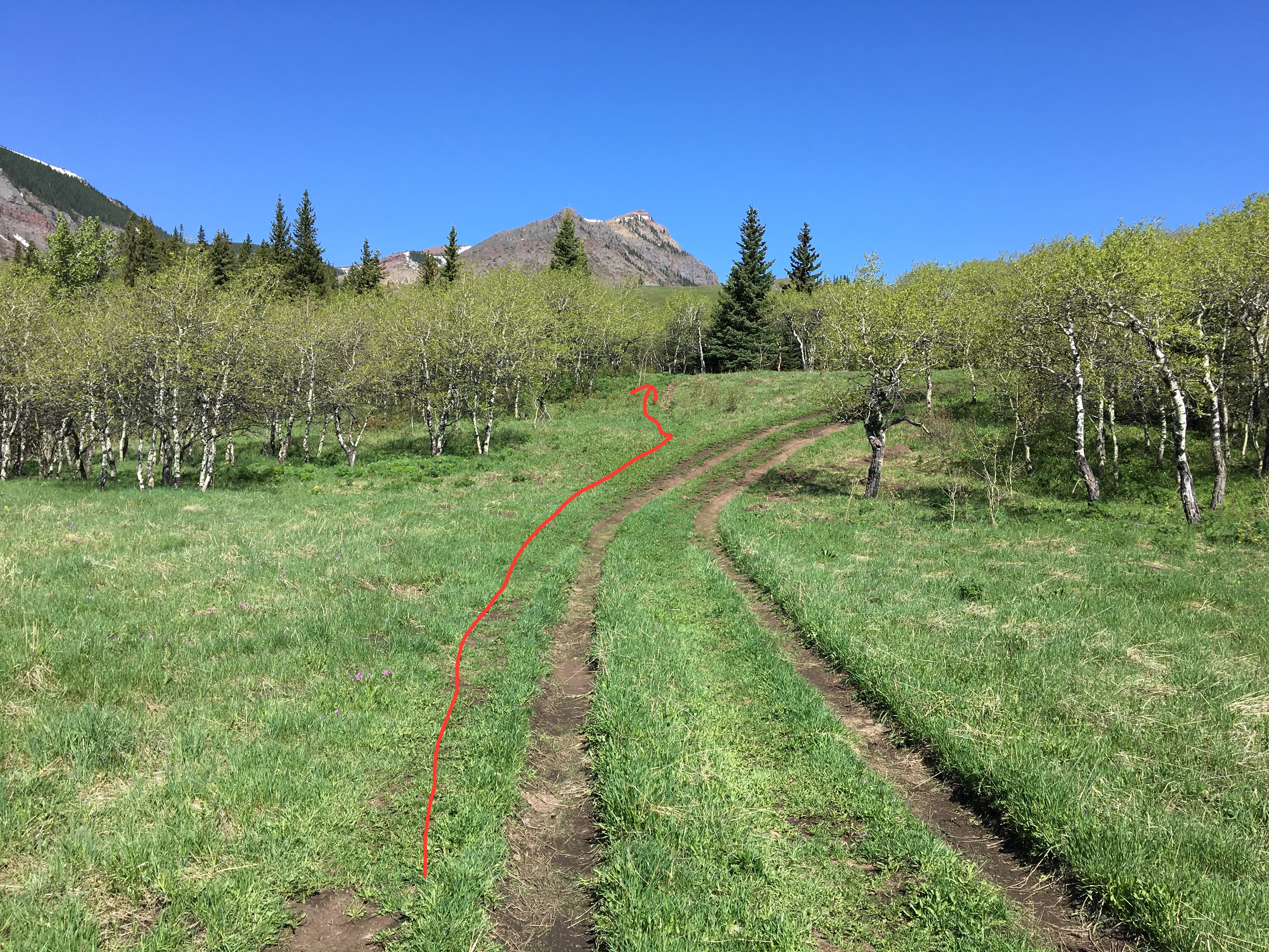
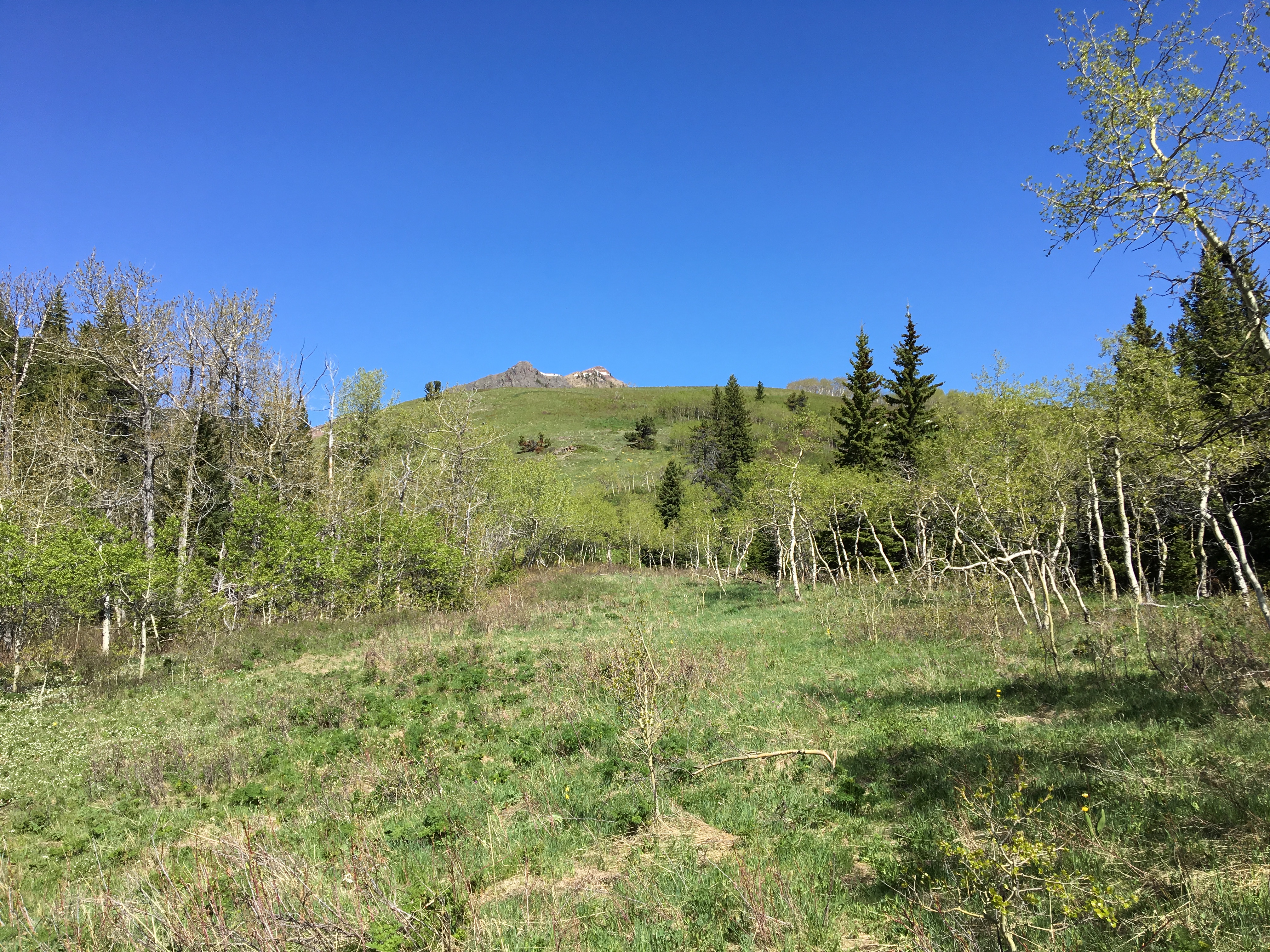
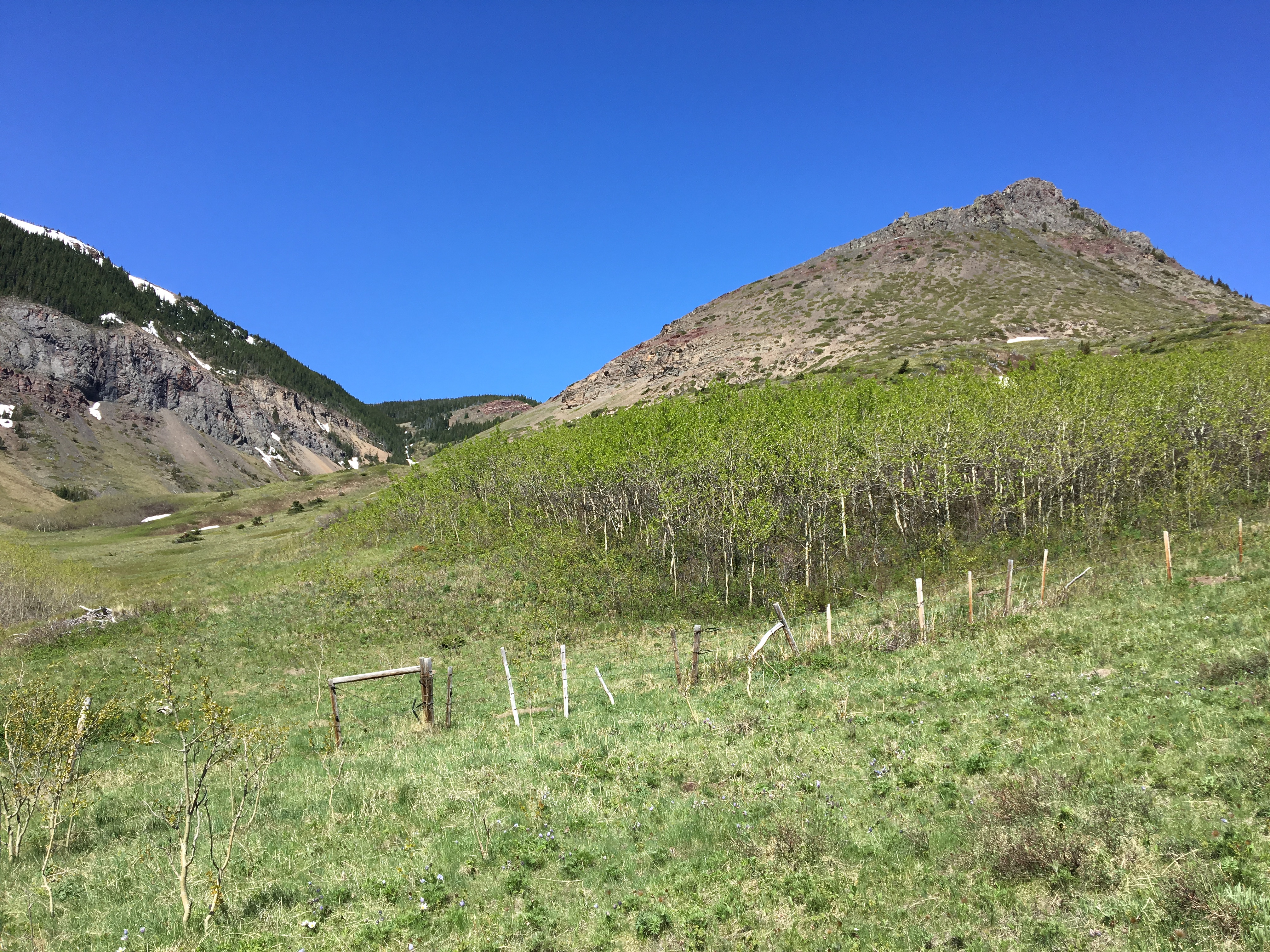
Access to the area is via Shell Waterton Gas Plant road. Google Maps will direct you right to where to park – ask it to drop a pin on 49.3142528, -114.0763269. There’s an open grassy area that’s nice and flat to the north of the road. I parked there and set out on the double-track trail departing to the northwest. Very soon (about 100m) a faint single-track trail branched off to the left (just as the double-track started to curve right). I follow that single trail as it lead through some trees towards a big hill. The trail faded in and out of sight, but it was pretty easy to get the idea of which way to go. I climb up the hill, through long grass and some woody shrubs. At the top there was a dense area of short trees. I went right (east) around these and found a grassy corridor leading through the wooded area. Eventually I encountered a barbed wire fence I passed through that, and on the other side encountered a very obvious trail. I don’t know where that trail went to or from, but it followed the fence.
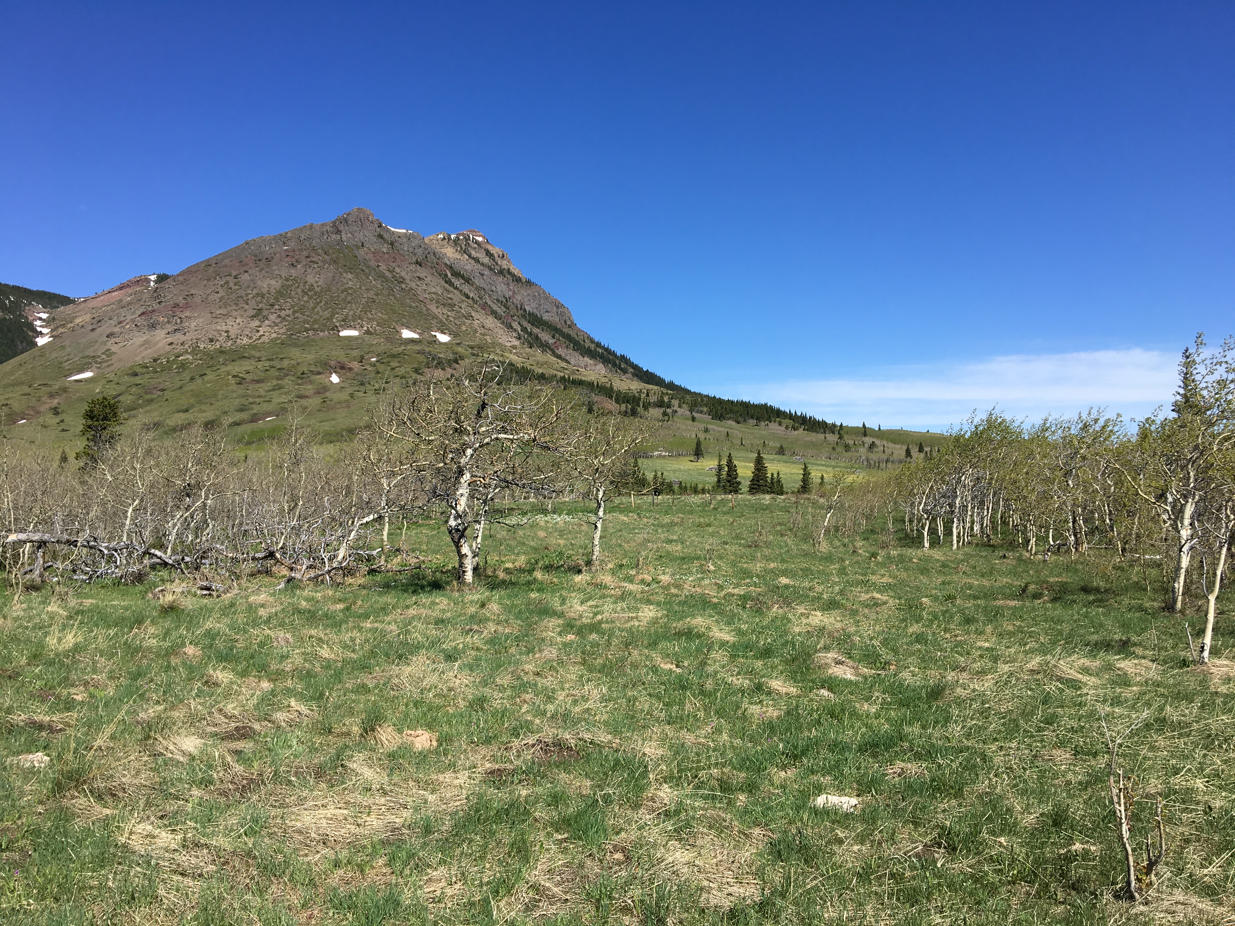
I ignored the trail and continued straight toward the base of the mountain. There was an open, grassy area then some more trees beyond. Once again I bore right (east) and found a route through the trees until I encountered a 2nd barbed wire fence. I passed through this one and continued towards the base of the mountain. Once again , I encountered a trail, and once again it seemed to be running perpendicular to my route. I ignored it an carried on to the bottom of the south ridge.
Based on Nugara’s description, I checked out the 2 main rock bands as I approached, aiming toward the rightward aspect fo the lower one. It was relatively easy to pick a route which ascended to the right below the steep rocks, then cut left and right again to gain the ridge (the approximate route is drawn on the photo in the gallery below). There are probably a lot of ways to go up this ridge, some with more scrambling than others. The rock is very crumbly and loose, though.
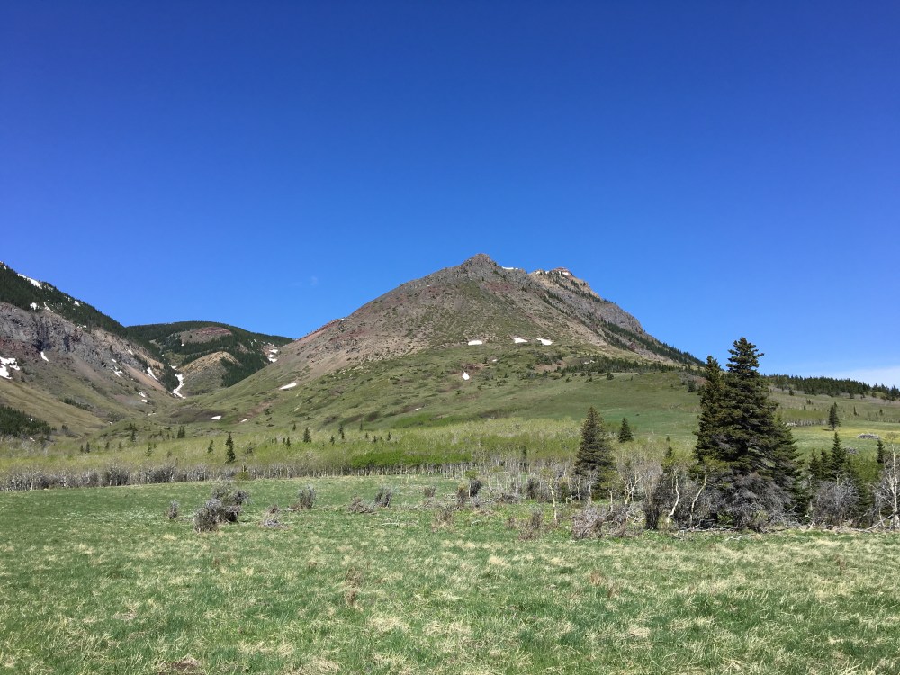
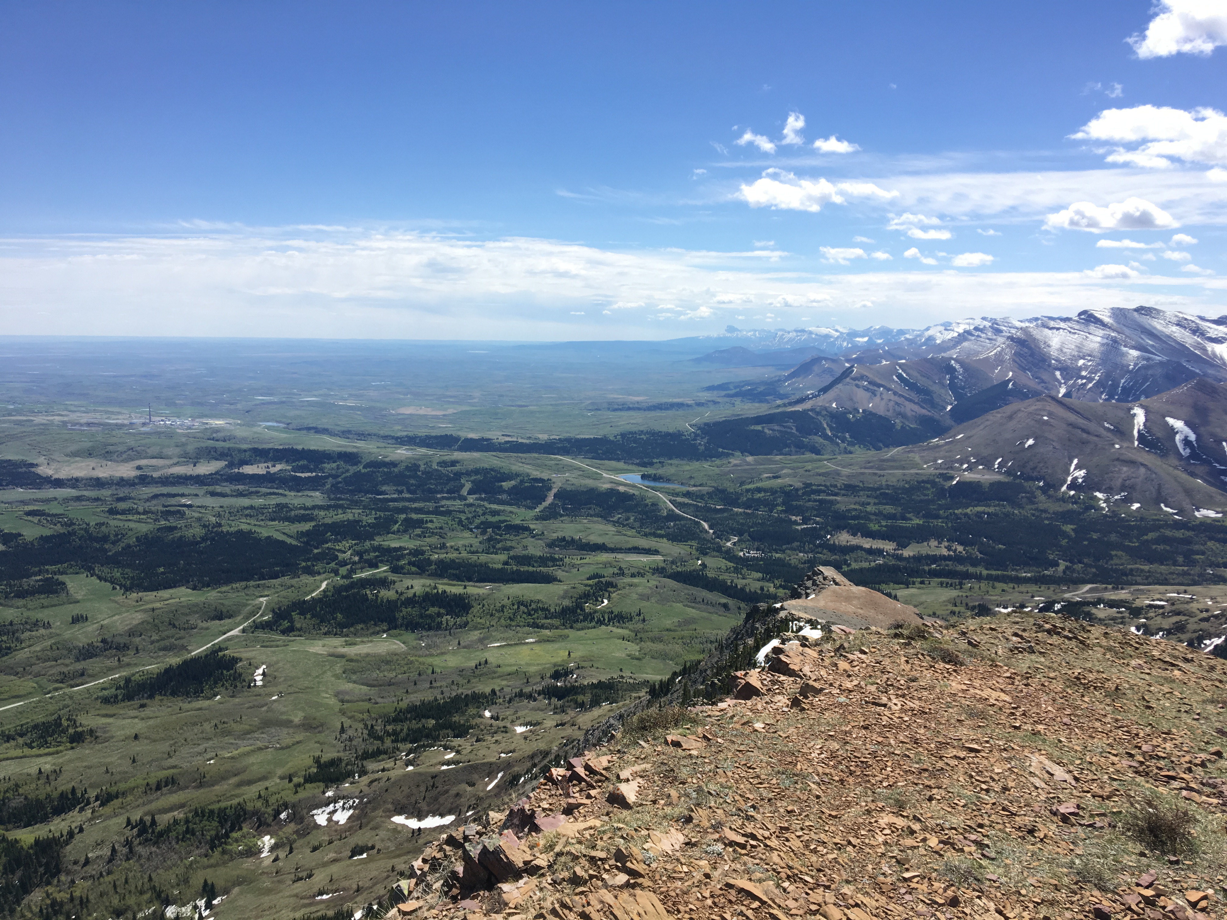
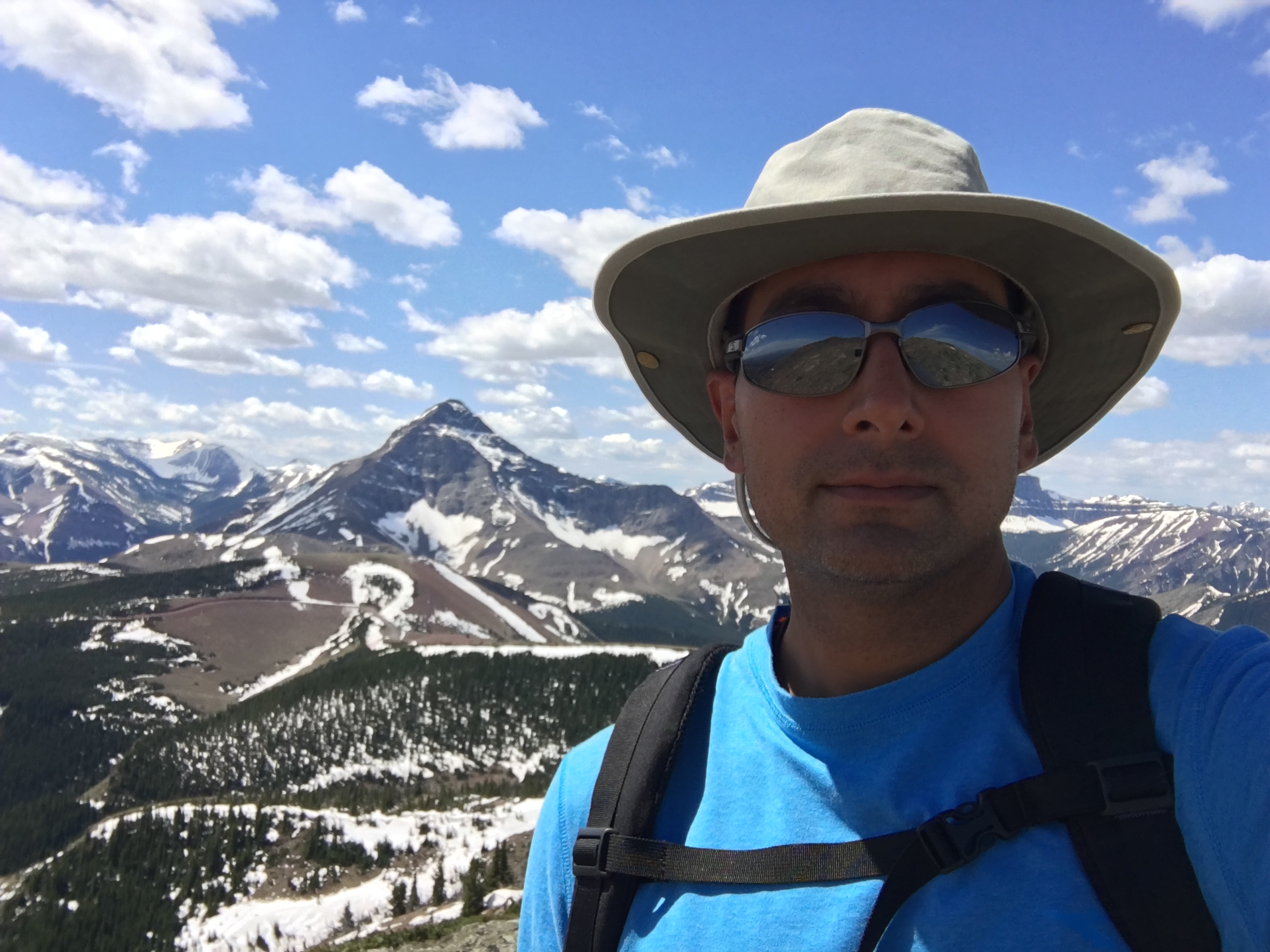
Once above the lower rock band and onto the ridge, I just continued ascending, now making sure I’d pass to the left of the upper rock band. Eventually all the scrub disappeared and I was just on flaky rock. Once I was onto the ridge, it was easy to follow it up, left past the upper rock band and to the summit (it’s actually a little farther than it looks). Along the way there’s a great variety of rock colours, and the views towards Victoria Peak and the Windsor Mountain/Castle Peak massif start to open up. I was lucky to have a fine, sunny day with minimal wind. The views were great.
Just below the summit, there’s an oddity: climbers have begun to construct a stone wall. I can’t say I’ve seen anything like that before. This seems to be what’s being done in lieu of a summit cairn. At the summit there are 2 metal bars and a wooden stump marking the site. From the summit, there were amazing views west, dominated by Victoria peak and Winsor Mountain. To the south, Chief Mountain in Montana could be seen in the far distance. It was also possible to see all the way back down to the parking area. Off east were fine views of the prairies, green after spring rains. The mountains of the Crowsnest Pass area were clear to the north-west.
After enjoying the solitude and the views for a while I returned via the same route.
Click on the pictures below for full-sized images.


2 thoughts on “Prairie Bluff / Corner Mountain (South Ridge Route)”