Hike Date: May 27, 2017
- Region: Waterton Lakes National Park. Traditional territory of the Blackfoot, Tsuu T’ina, and Ktunaxa First Nations
- Distance: 11.4 km round-trip to lakeshore, add 4.5 km if you circle the lake, add 1.6 km to round-trip if visiting Bertha Bay
- Total Ascent: 540m, add 100 m if visiting Bertha Bay
- Elevation of Objective: 1755m
2020 update: I’ve updated the format to more closely match other entries. Also note that these pictures pre-date the major forest fires by a few months. The forest is burned, meaning the scenery has changed significantly. This hike is a favourite for families, first-time visitors, and lifelong Waterton hikers. Access is via the well-marked trailhead in the Waterton townsite. Drive about 500m past Cameron Falls to the parking area. The trail itself is very well-defined and easy to follow. More pictures of the area can be found on my Lower Bertha Falls and Bertha Peak (Attempt) posts.
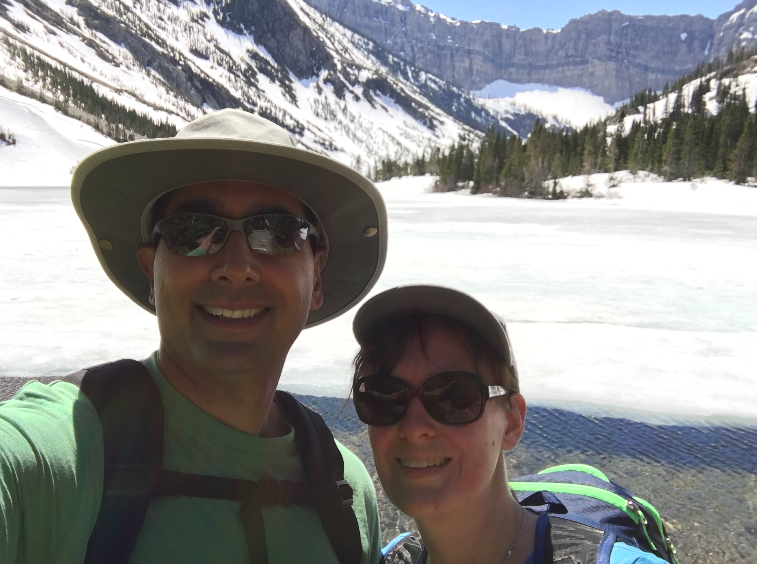
Original Post: For the first hike of the 2017 summer season, our intent had been to do Lineham Creek Falls in Waterton Lakes National Park. The day was warm and sunny, but there had been lots of snow in the preceding weeks. We were told that the trails along the Akamina Parkway were all too snowed-in for hiking. Therefore, we went with the old standby: Bertha Lake.
We went up to Bertha Lake, then tagged Bertha Bay coming down. There was lots of snow once you got above the lower falls, but it was all passable with only 2 tricky spots. There were still trees lying across the trail in some places, too. The lake was still mostly frozen over and surrounded by snow. The view was a spectacular mixture of sun and snow. The upper and lower falls were swollen with the spring run-off.
Having never been to Bertha Bay, we decided to tag it on the way down. The trail is actually reasonably steep, and the sun was hot by the time we were down there, making it a bit of a slog. We discovered/remembered when we got to the Bay that there was a backcountry campground down there. We hung out for a while, checked out the boat launch and discovered what must the Canadian strategic reserve of flat skipping-stones on the shores of the bay.
Click on the pictures in the gallery to access the full sized images in a new tab.


Lovely blog you hhave here
LikeLiked by 1 person
Thank you!
LikeLike