September 15, 2018. A scenic seaside descent on Newfoundland’s most popular hiking trail.
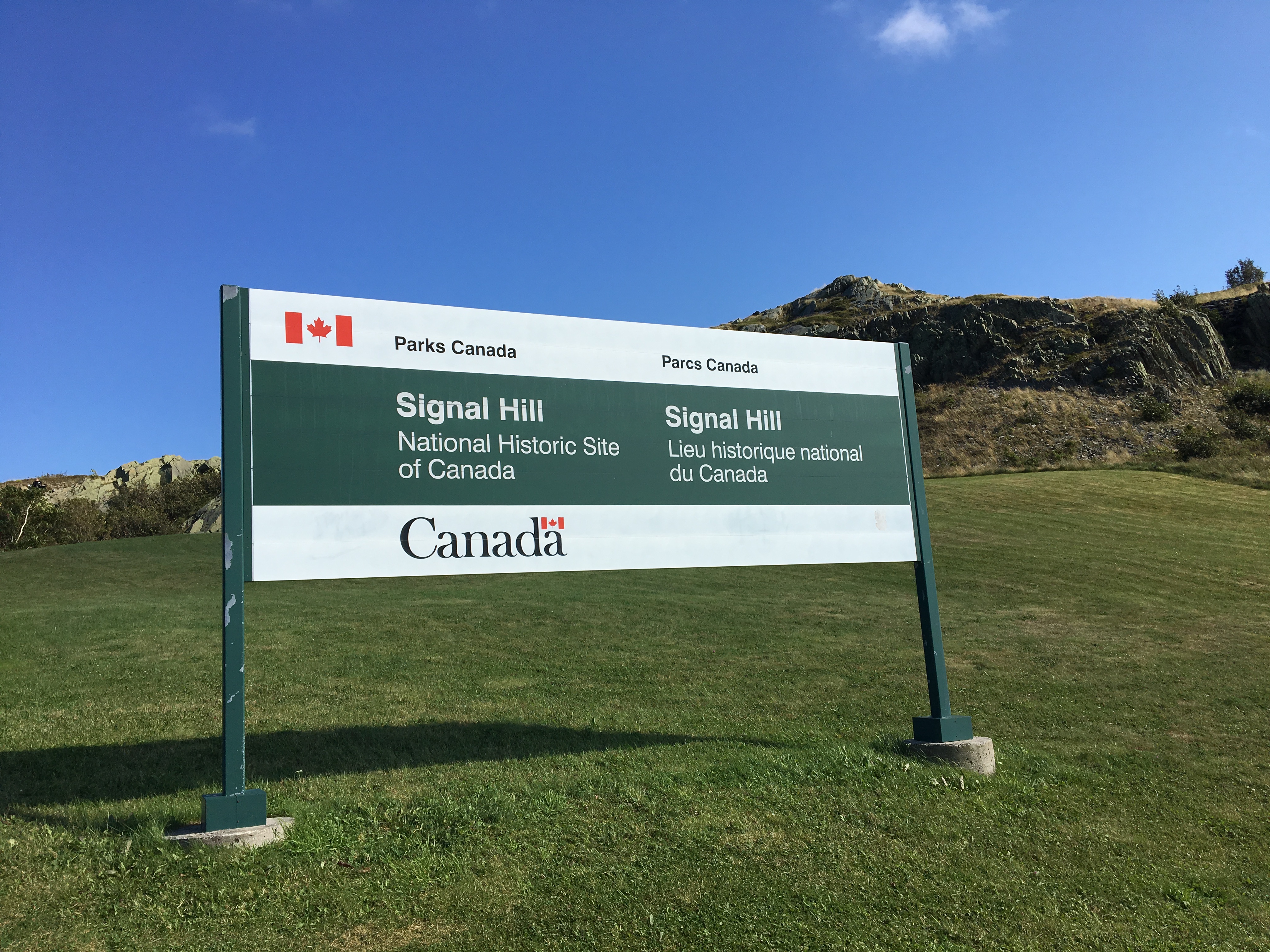
- Region: Signal Hill National Historic Site. Traditional territory of the Beothuk people.
- Distance: 4km loop
- Total Ascent: 164m
- Elevation of Objective: N/A
- Hiking Time: 1h 8m
My exploration of the trails on Signal Hill felt like time well spent when I first arrived in St. John’s. However, during that outing my wanderings took me toward Quidi Vidi and away from St. John’s most famous and heavily used trail: North Head Trail. I didn’t want to miss my chance to hike it, so I skipped the late afternoon sessions at my conference and walked back towards Signal Hill.
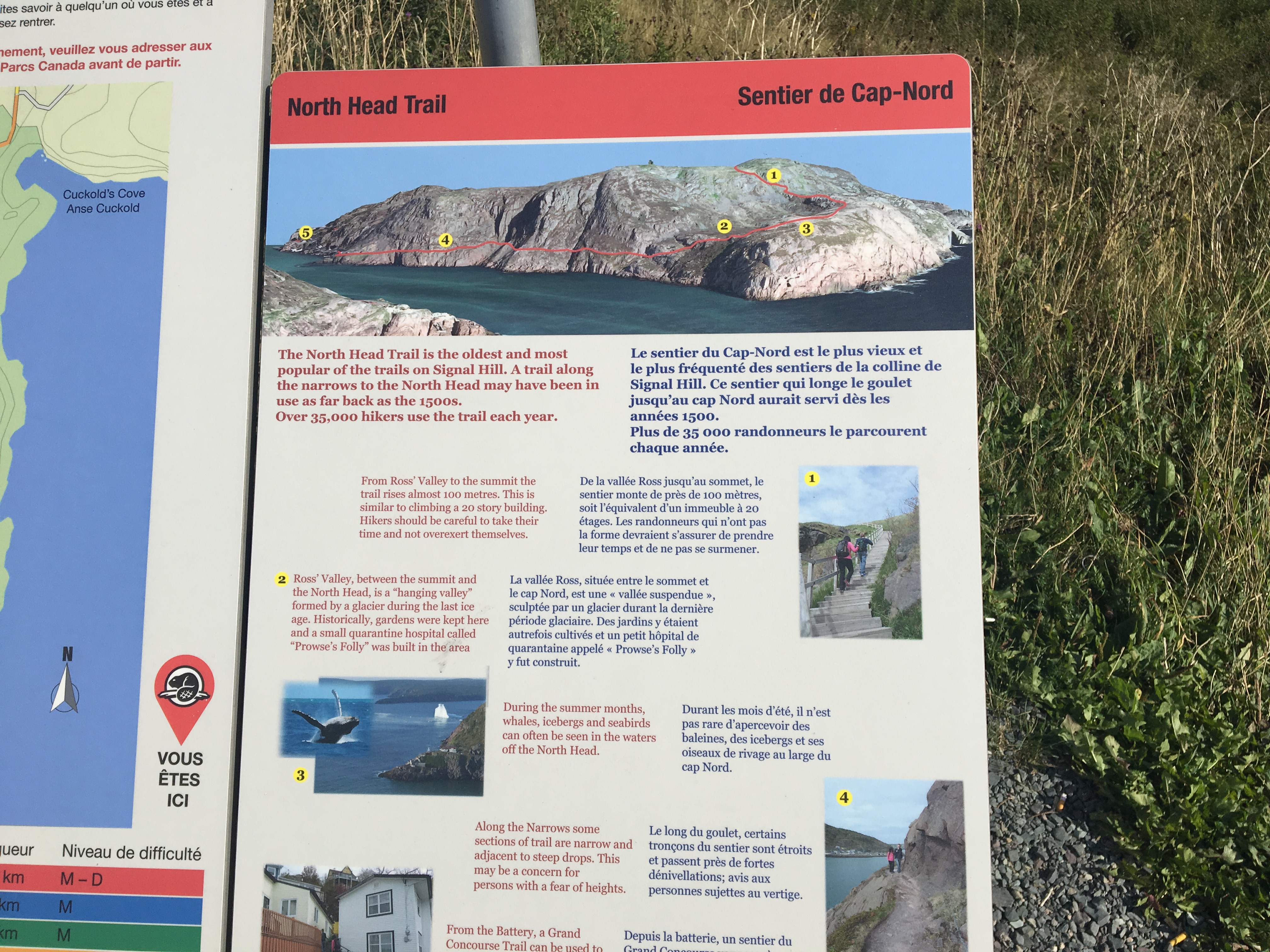
One thing I’d been trying to figure out was why the trail descriptions I’d read about the North Head Trail always described it as a descent. I’d seen lots of people climbing up along it when I was on Signal Hill a few days before, and my first instinct had been to do the same. However, there are 2 good reasons to descend the North Head Trail. The first is practical: the lower end of the trial connects to a somewhat obscure back lane down at street level. Finding it would require some wandering around, whereas finding your way out from there is easy. The second reason is that the views are somewhat better facing in the descending direction rather than the ascending. Might as well keep the better views in front of you as you walk.
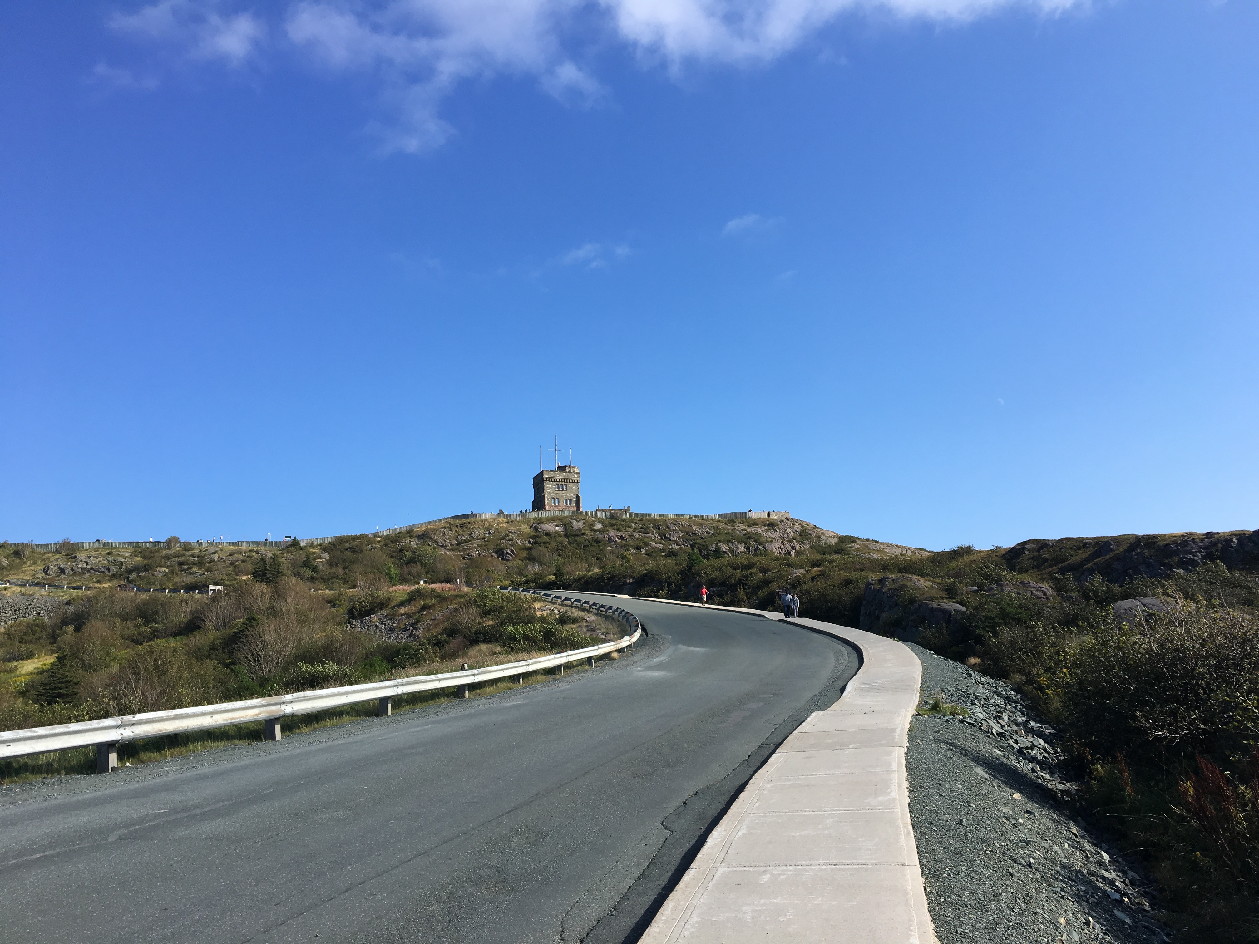
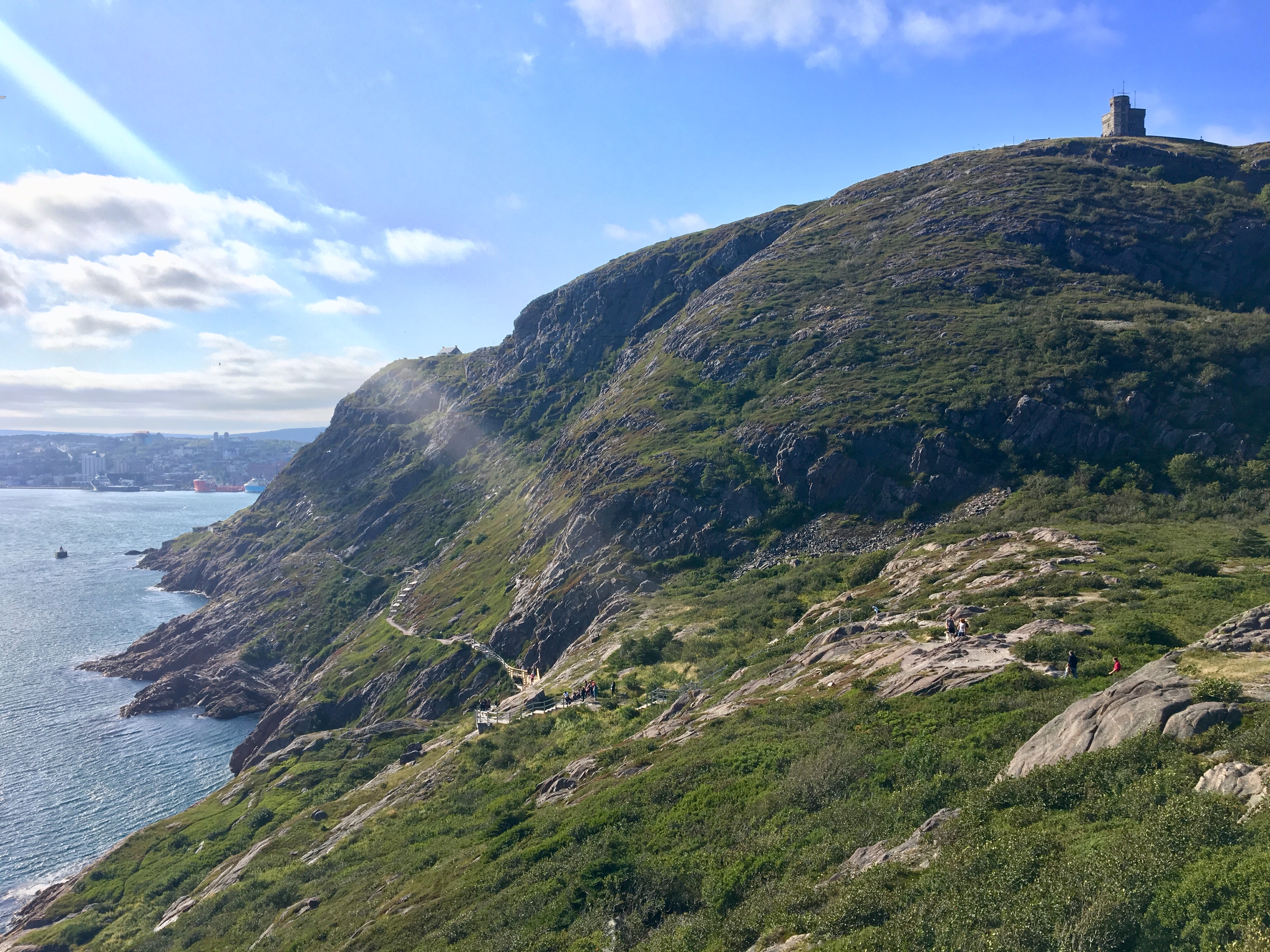
My route was a loop starting and ending at the intersection of Battery Road and Signal Hill Road. I walked directly up Signal Hill Road to the parking lot at the top of Signal Hill. There, I found the trail markers I’d seen previously, pointing the way to Ladies’ Lookout and North Head. From there, I just followed the very obvious trail and descend North Head.
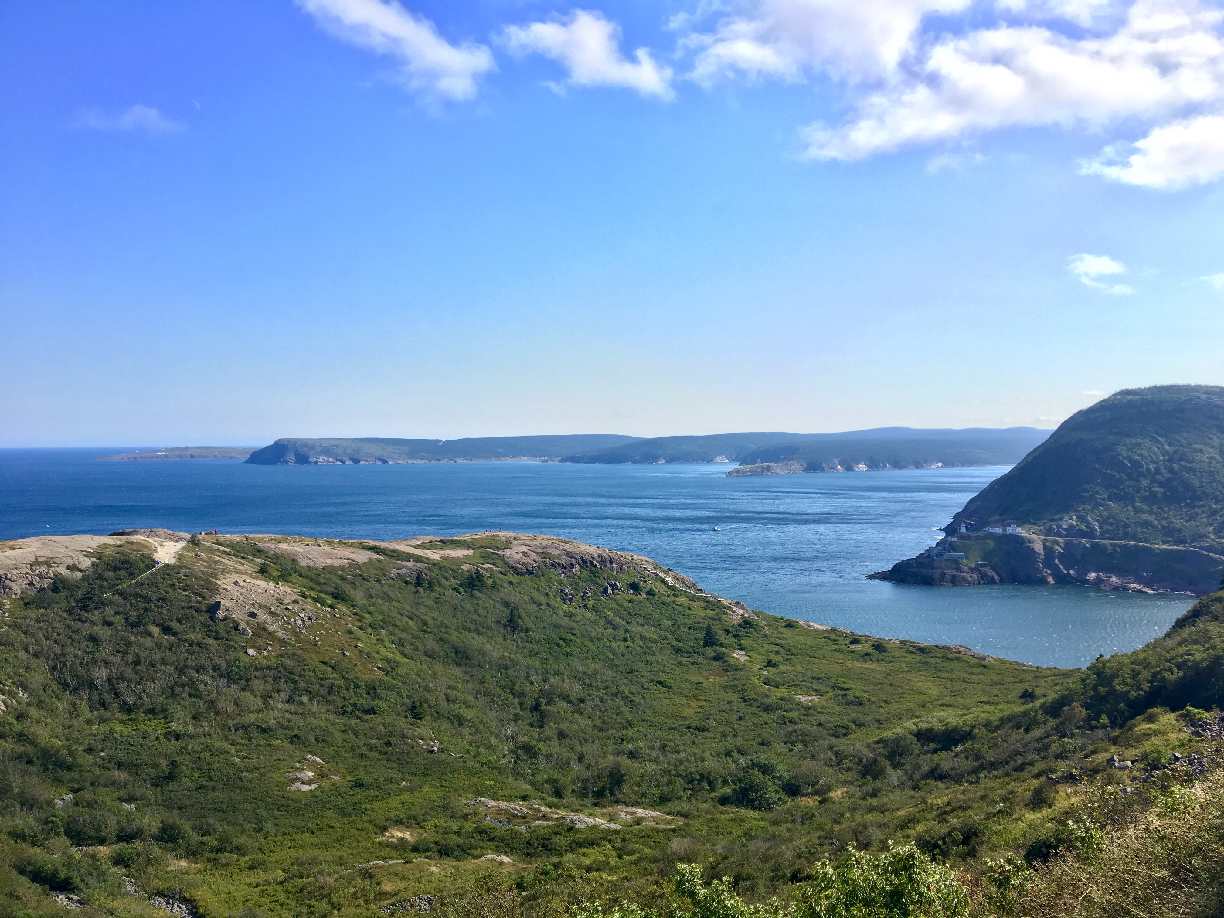
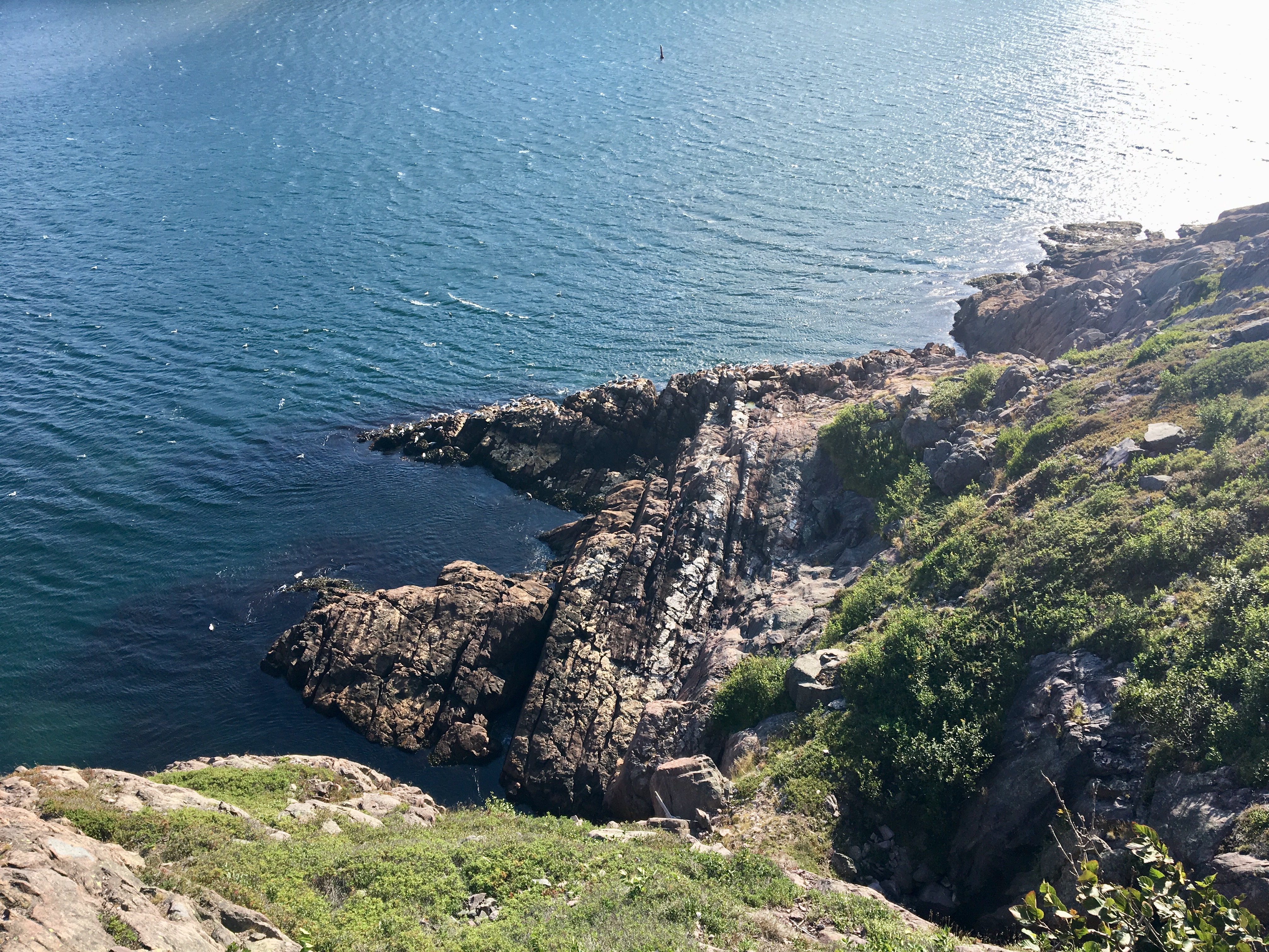
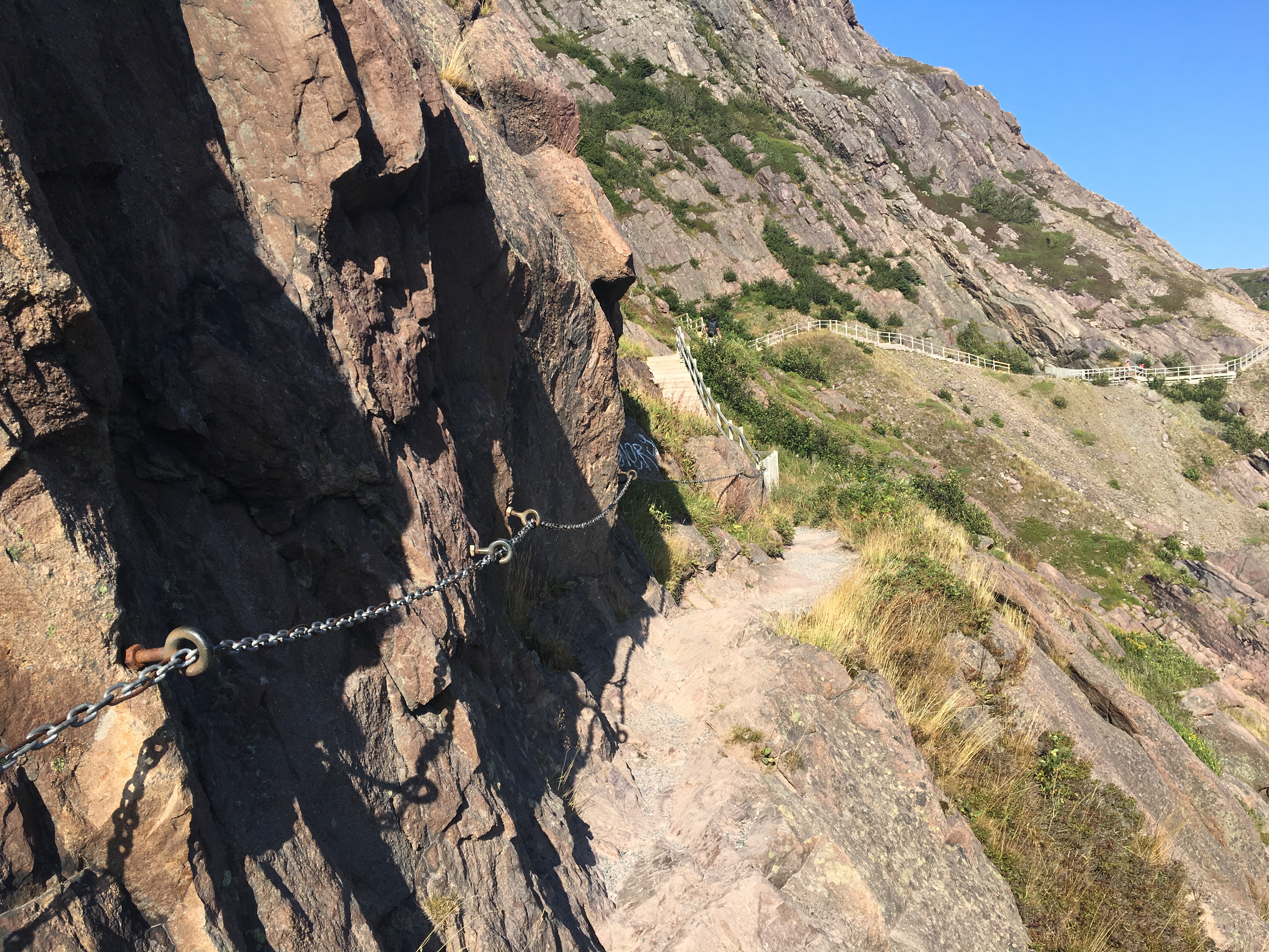
There had apparently been a recent closure of the trail for the purpose of upgrading some stairways and railings. Everything was very sturdy and easy to follow. Stairs led east and descended down from the trailhead. The route was visible ahead, winding north-to-south along the North Head of St. John’s Harbour, then swinging back to the west and out of sight as it traversed under the cliffs of Signal Hill.
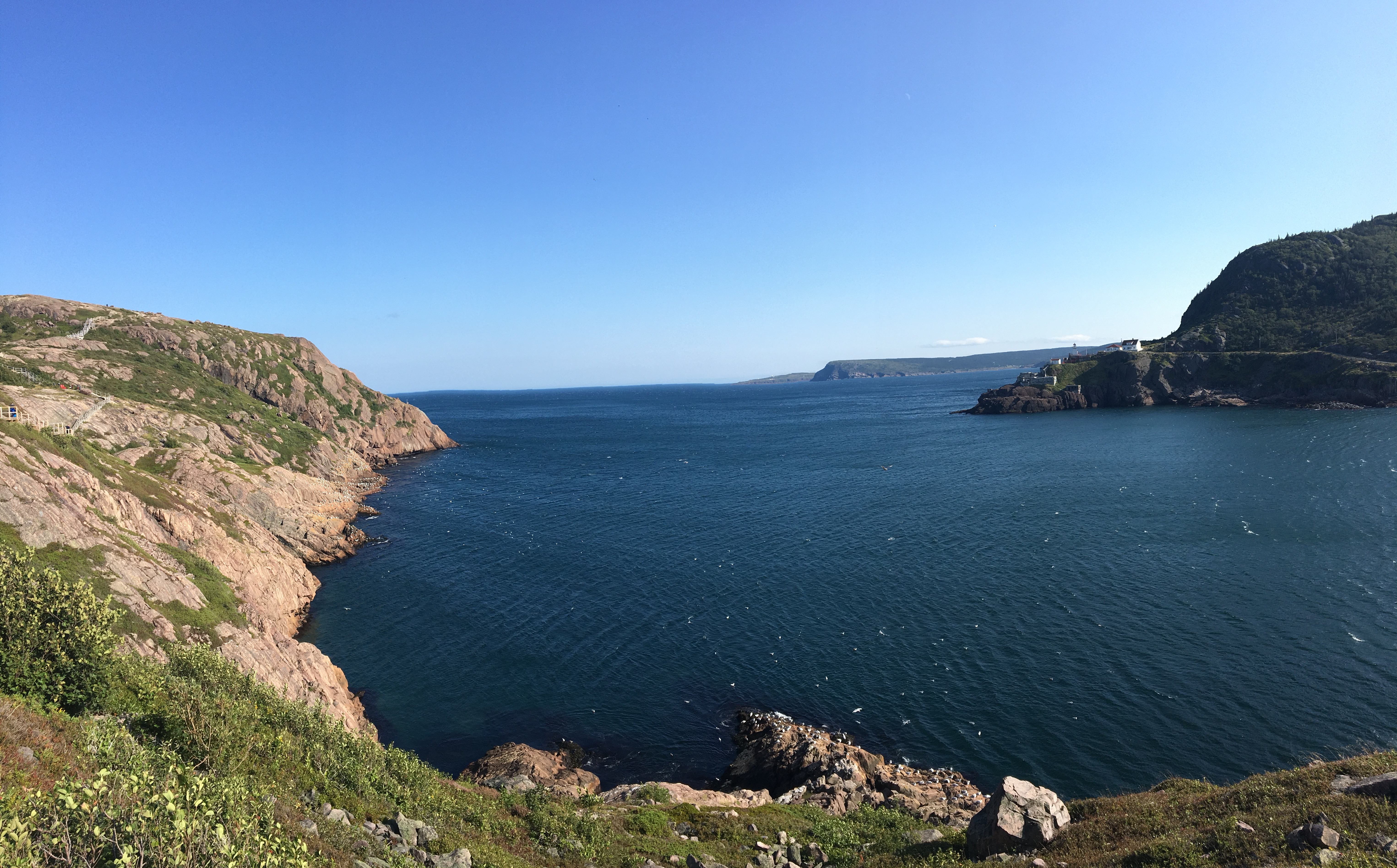
The wind was whipping through the narrows very briskly that afternoon, but the gloom that had been enveloping St. John’s during the earlier part of my stay had finally vanished. I did take a moment to feel the full force of the wind down on the North Head. It felt a lot like standing on a mountain peak in Waterton or the Castle.
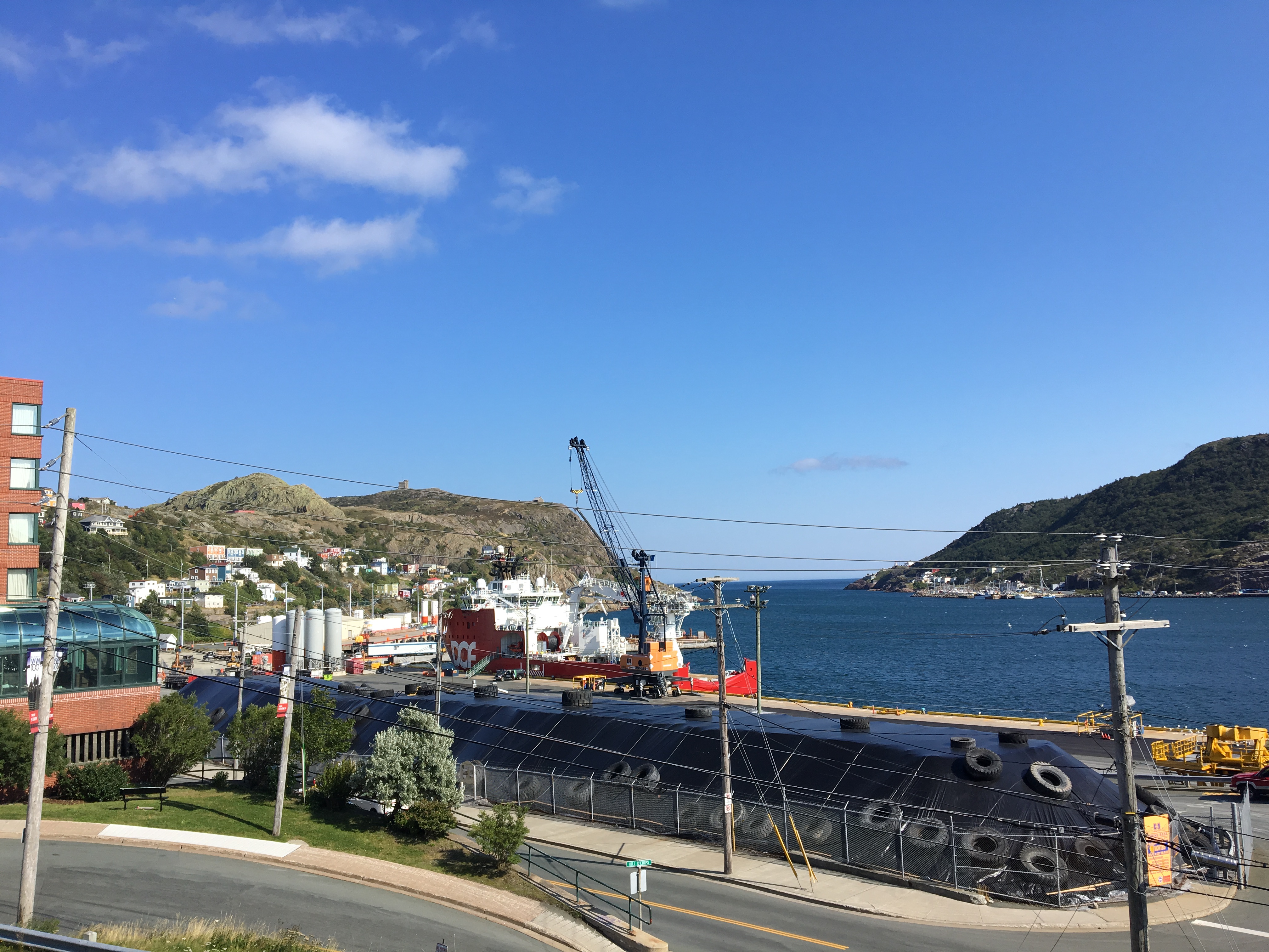
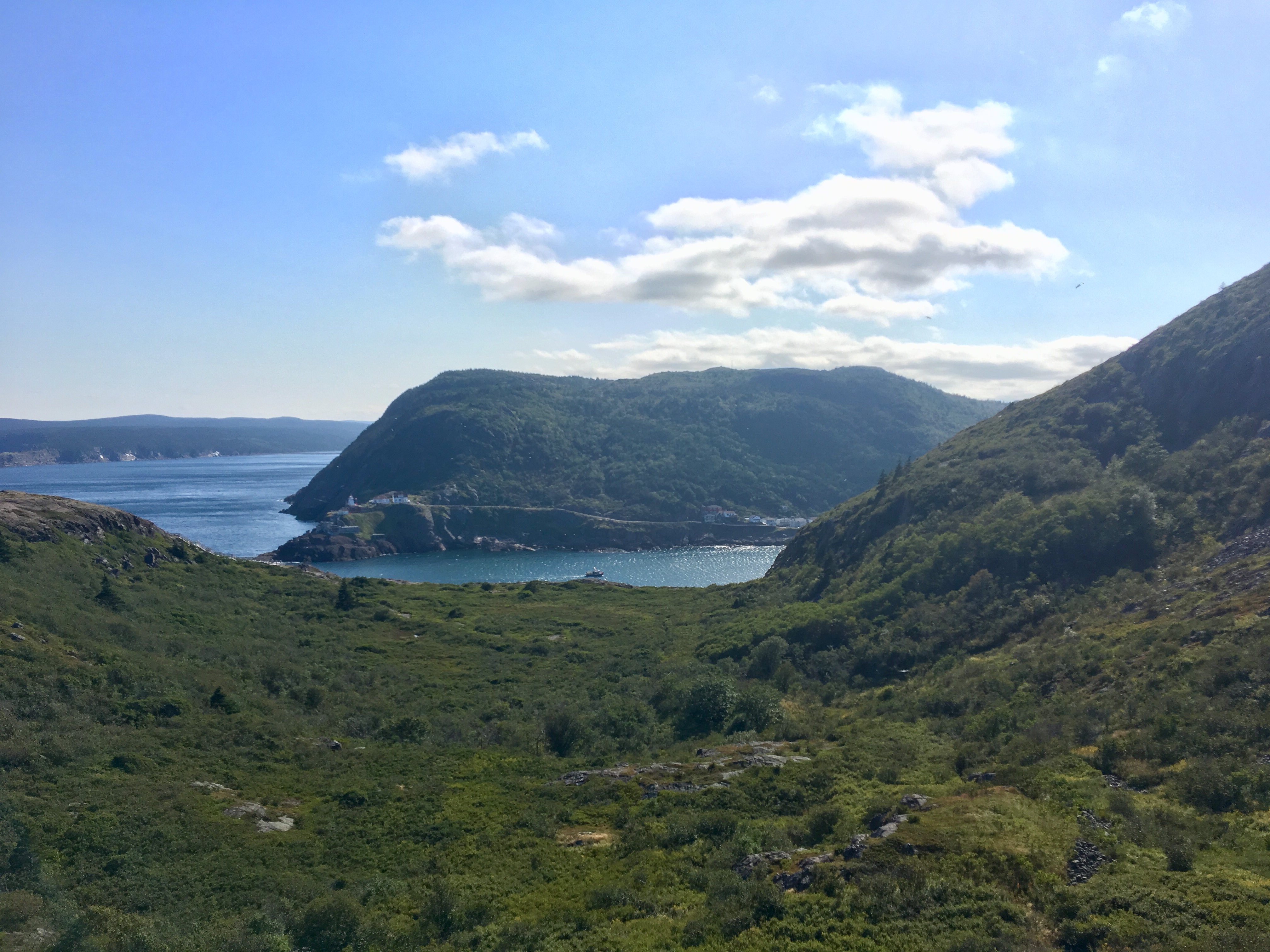
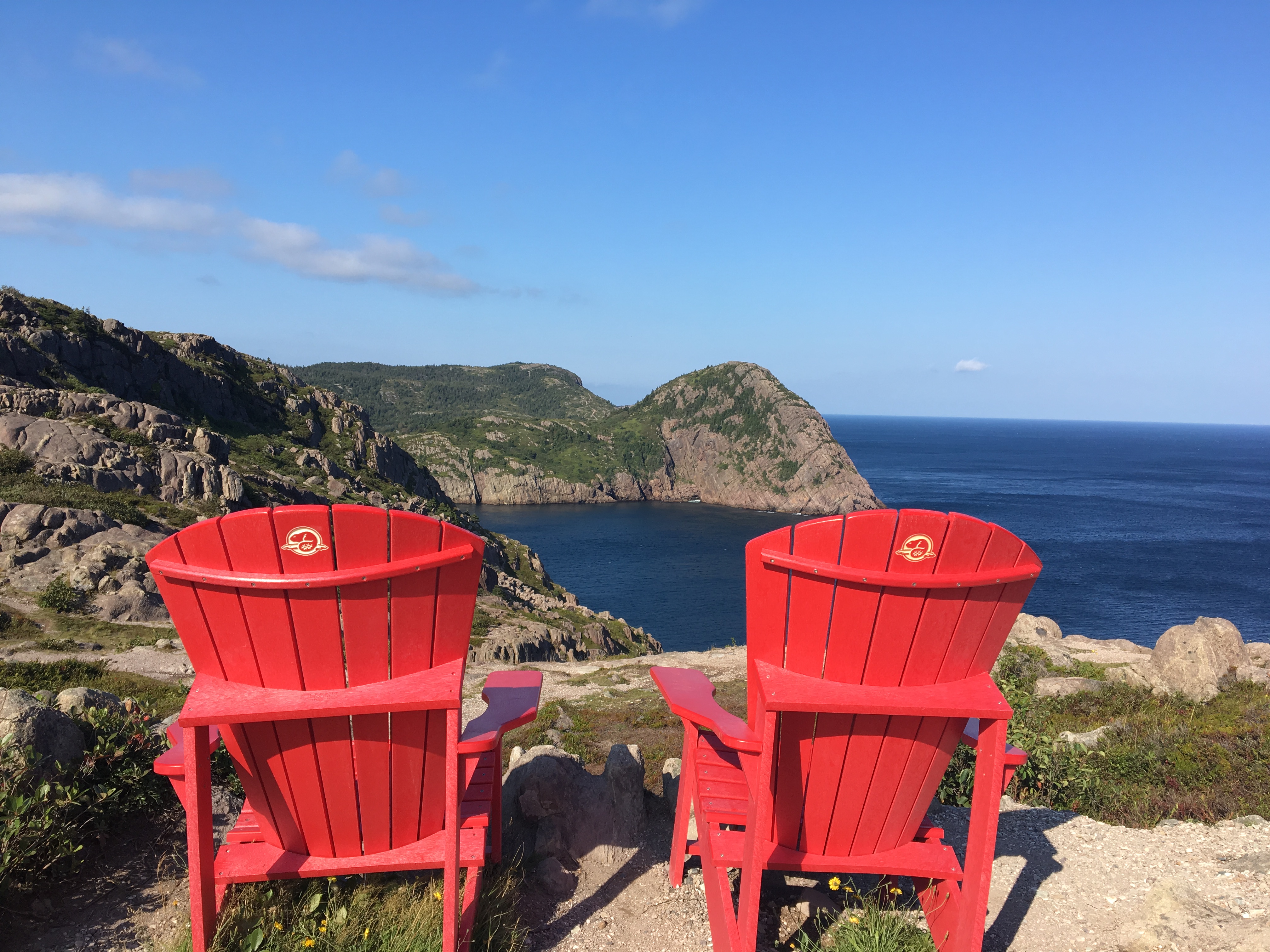
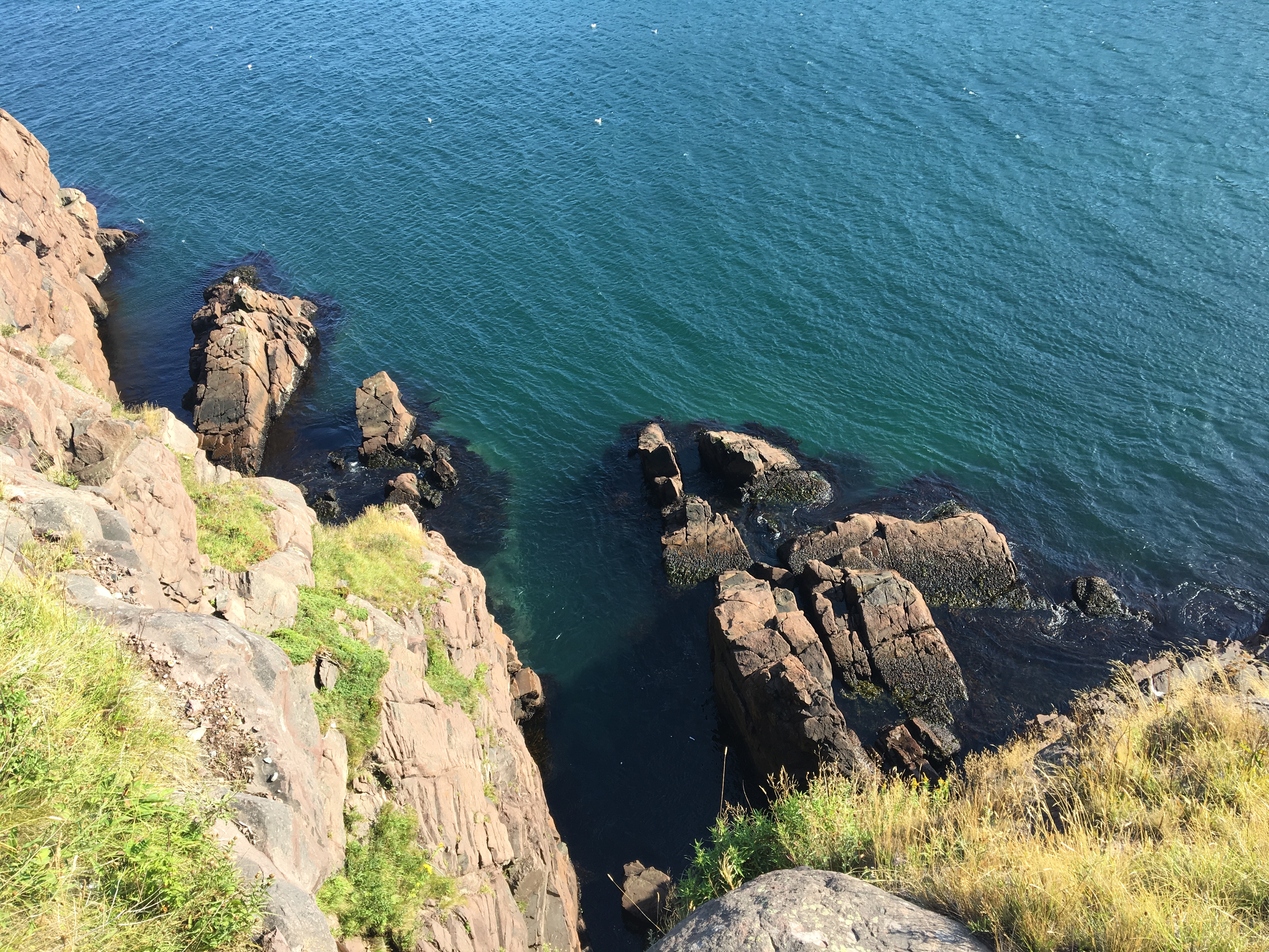
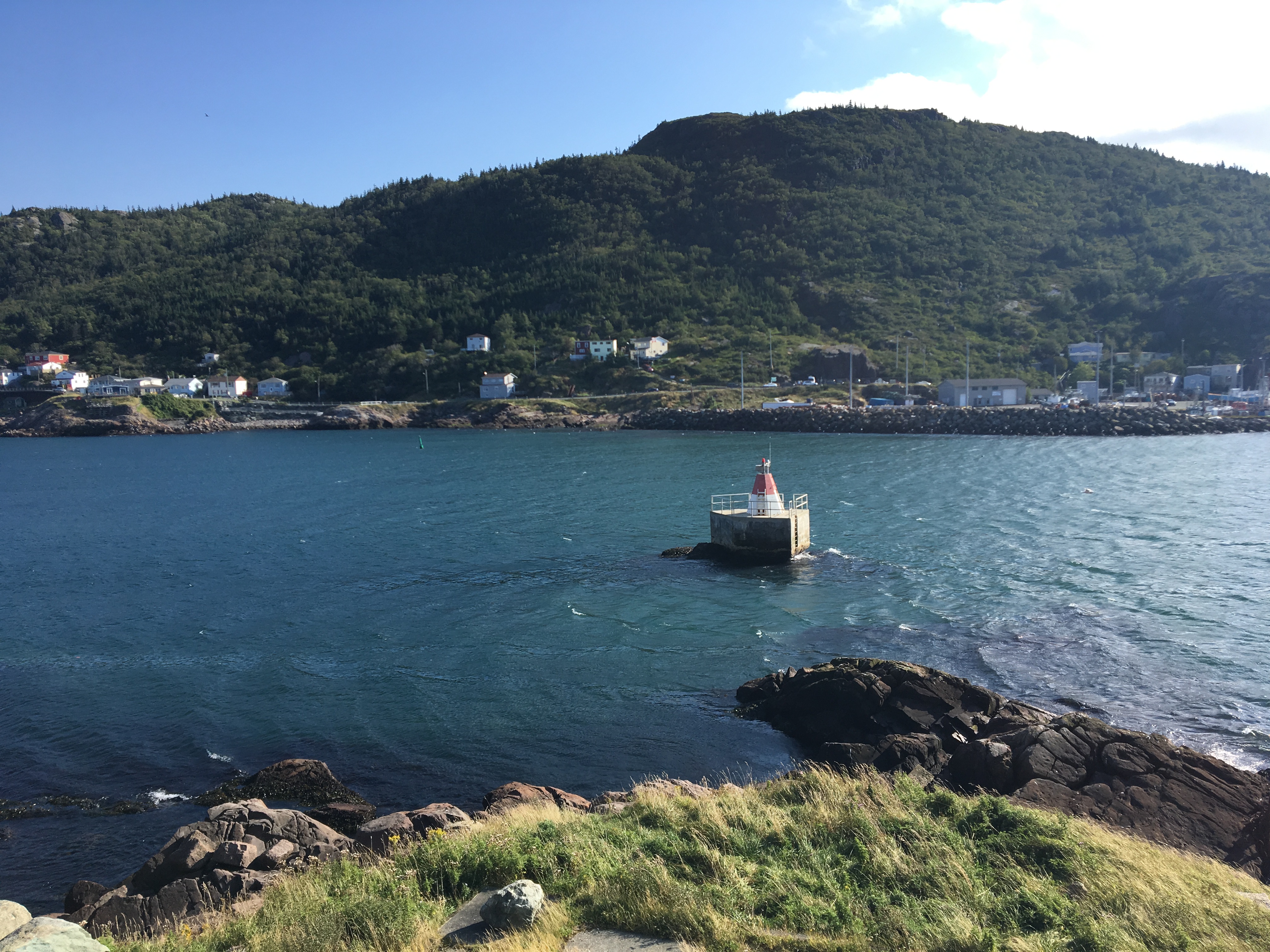
The trail featured views of the vast North Atlantic, fun bits of rock to climb over and around, even a narrow portion with a chain to grab on to, reminiscent of Waterton’s Crypt Lake hike. As the trail swung back towards the harbour there were interesting views across the narrows. The historic Fort Amherst Lighthouse was clearly visible, along with many picturesque buildings on Cahill Point. In the far distance I could see Cape Spear, faintly making out its famous lighthouse. There was some intriguing rock scenery up on the cliffs and down by the water. It’s easy to see why this is such a popular trail. I’m glad I didn’t miss it during my trip.
Click on the pictures in the gallery below to access full-sized images.