October 23, 2018. A chilly river crossing followed by a steep ascent to a trio of high mountain lakes.
- Region: Castle Wildland Provincial Park. Traditional Territory of the Tsuu T’ina, Ktunaxa, and Blackfoot First Nations
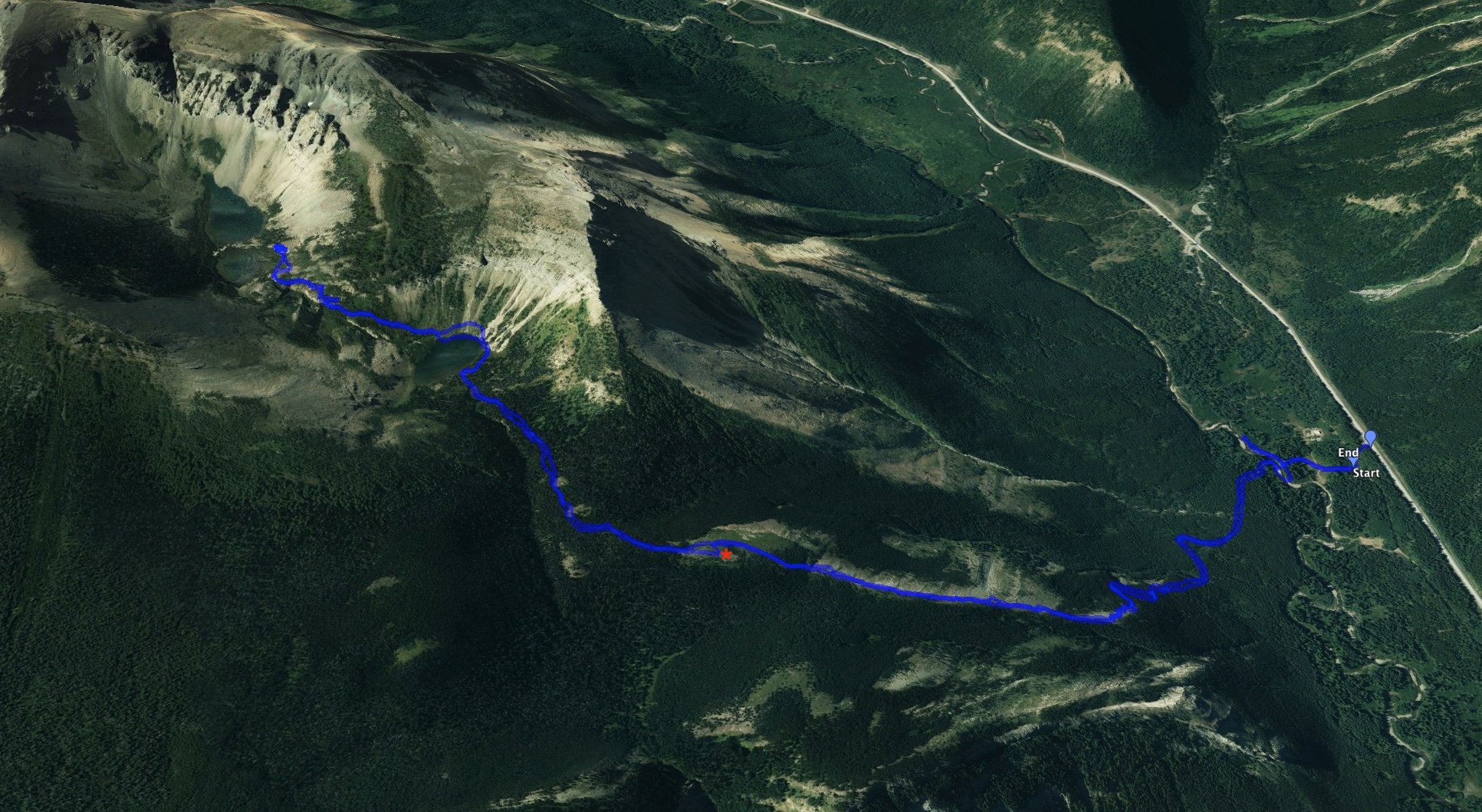
- Distance: 10.1 km round-trip
- Total Ascent: 745 m
- Elevation of objective: 2026 m
- Hiking time: 4h 39m

July 2022 update: I haven’t gone yet to see it for myself, but there is now a bridge over the West Castle River, making the start of this trip much more friendly. The parking area has also changed. I think you now park at the Syncline Brook/Barnaby Staging Area. Next time I’m up that way I’ll do a proper update.
Original post: I turned 40 on October 23, 2018. I had originally been trying to work out a way to go on a trip with my wife somewhere new and exciting to commemorate the milestone. Unfortunately, plans fell through. On the bright side, I’d booked time off from work months ago, so I was left with some free days to fill and no commitments. I hadn’t been able to get out to the mountains since August, so what I mostly desired was some hiking. Luckily, on the 23rd the weather was fair and calm. I therefore decided to take a crack at the Southfork Lakes trail.
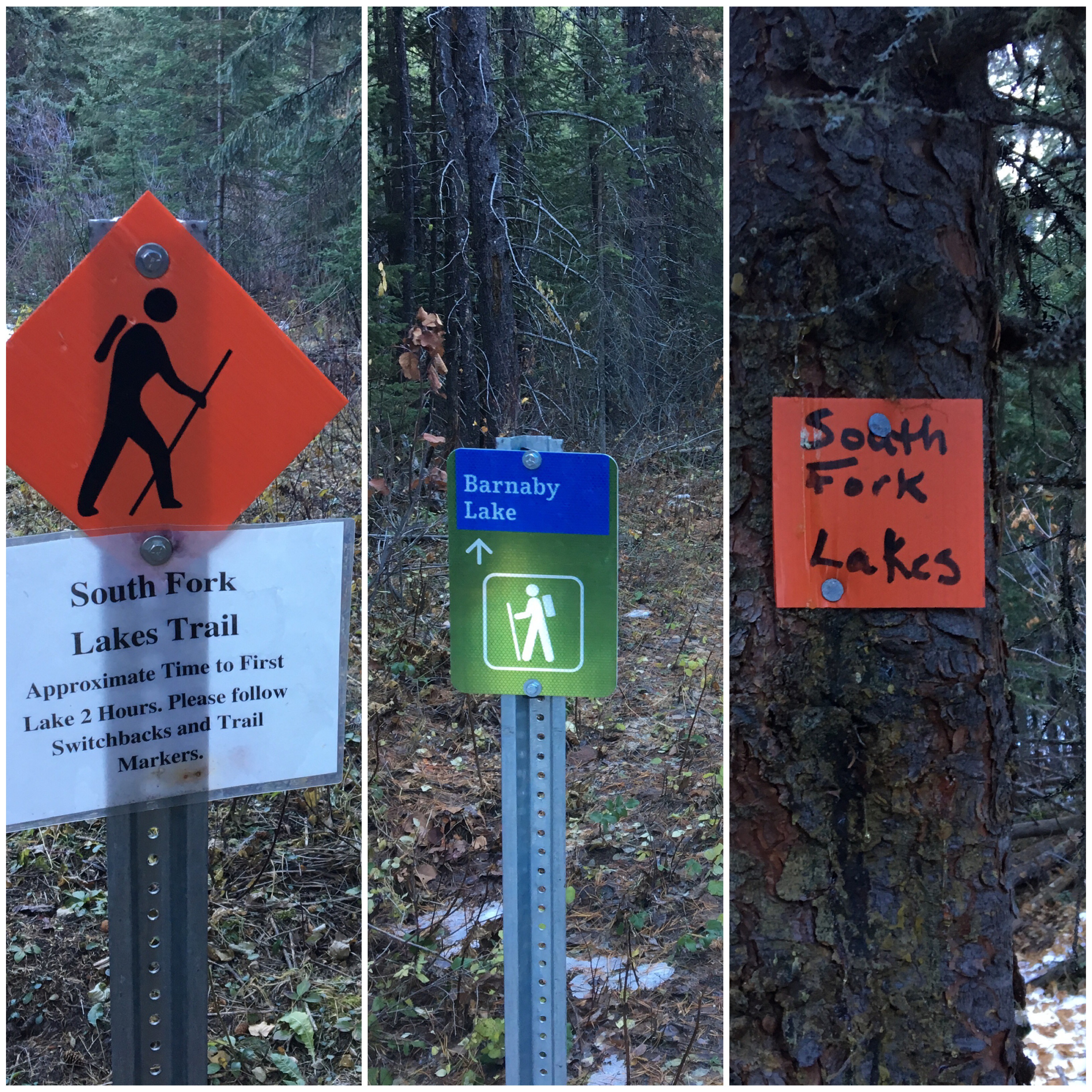
This trail is described in Joey Ambrosi’s Southern Rockies Trail Guide. A steep climb leads to a trio of lakes. The first is called Barnaby Lake, and the upper two are called the Southfork Lakes. I understand the trail is a favourite among locals, but is less travelled than it otherwise might be due to an obscure trailhead that requires fording the West Castle River to reach. For that reason, I’d put it off as a objective, particularly for a solo trip. Recent trail reports, however, indicated improved signage for the trailhead since the establishment of the Castle Provincial Park. So while one still needs to wade across the river, once on the other side it’s no longer difficult to find the trail. That knowledge was enough to give me the confidence to give it a shot.
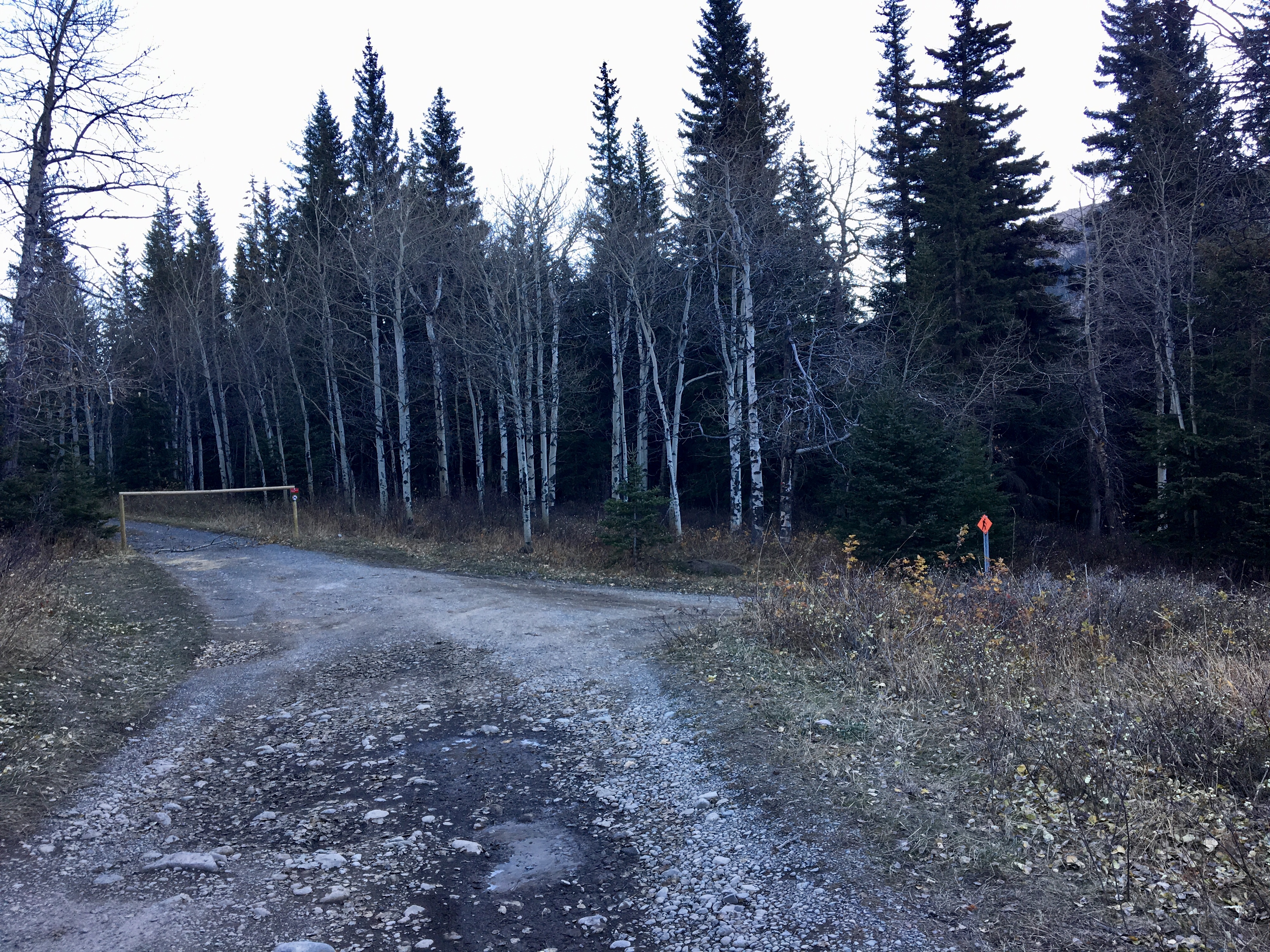
Access to the trail is from Highway 774, about 22 km south of Beaver Mines. A currently un-signed pull-out leads to some rough dirt roads. There used to be a small blue sign with a number on it there, but now it’s on the ground. This may be because the highway is now completely paved, all the way to the ski resort! This must have just happened in the last few months. New signage may eventually appear. Interestingly, the highway pull-out for the trail head is searchable on Google Maps. If you search “Southfork Lakes Trail Head” it’ll properly locate the site. Amusingly, when I found it on Google Maps the location was classified as a “Gym”. I sent a correction notice to Google and they’ve updated the information.
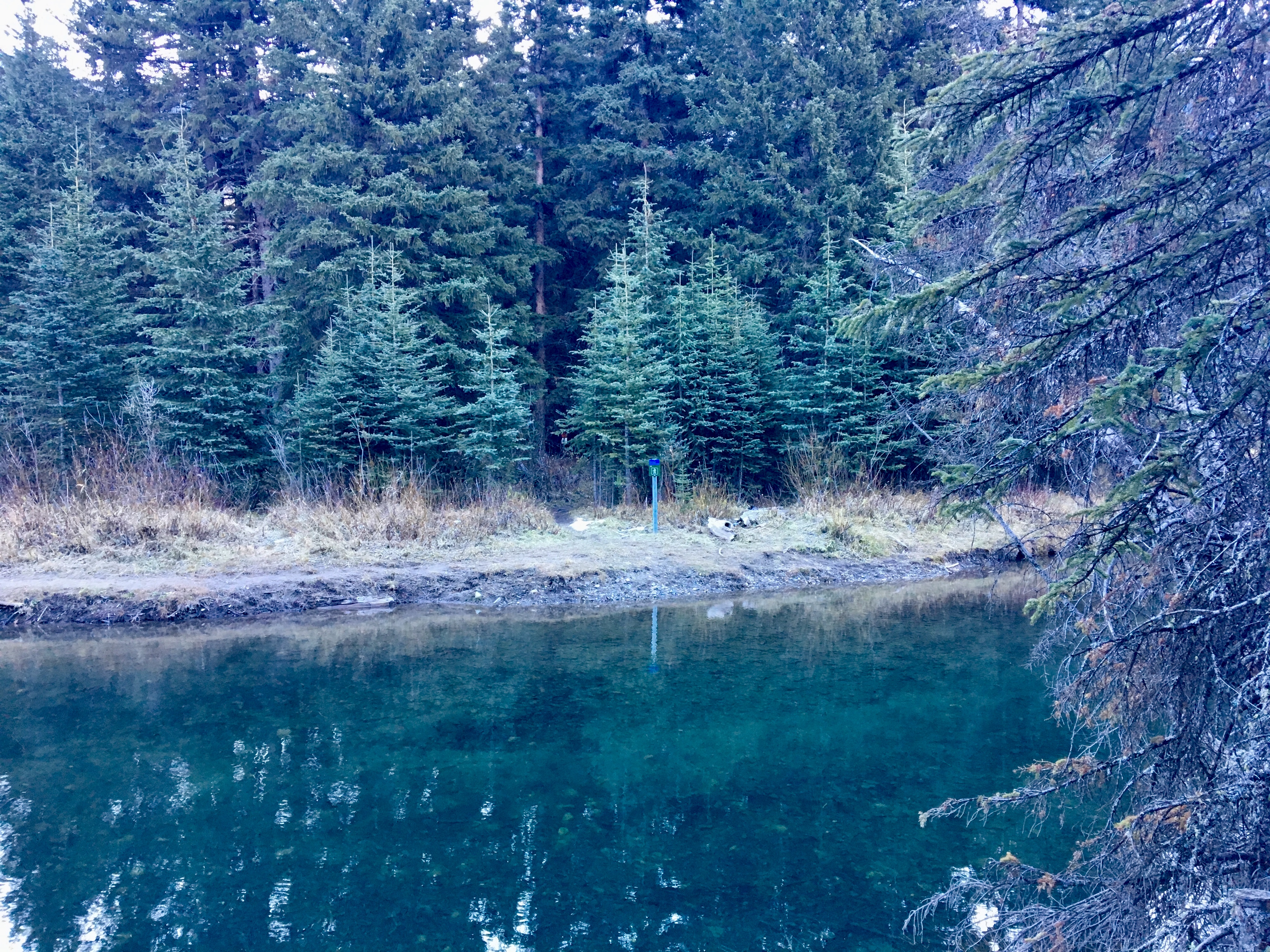
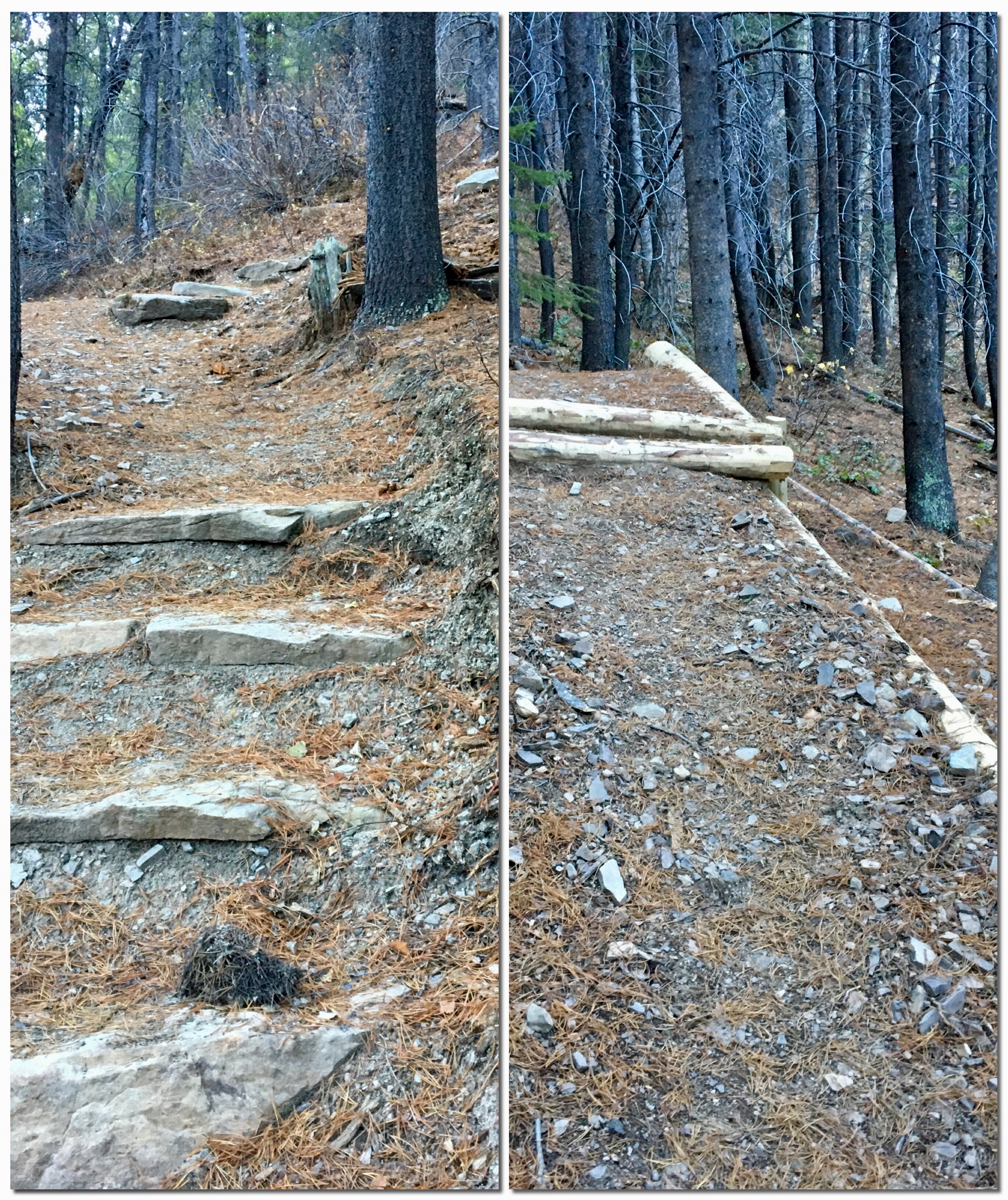
There isn’t really a parking area if you follow the dirt road off the highway, just a few intersecting dirt roads. After briefly inspecting the area, I carefully turned my car around, hoping not to end up in a rut, pulled back onto the highway and parked off the shoulder. I grabbed my gear, including sandals, a small towel and beach bag and headed down to the river. A few signs took me to the right spot and I looked across a calm, narrow stretch of the West Castle River. On the other side there was an obvious sign marking the start of the trail. I wandered up and down the shore a bit to look for a spot to cross. The best spot ended up being a short distance downstream where the water widened out and became substantially more shallow. The water was very cold and just below my knees in depth. On the far bank I dried off and swapped footwear. I stashed my sandals and towel next to the trail sign and headed into the forest.
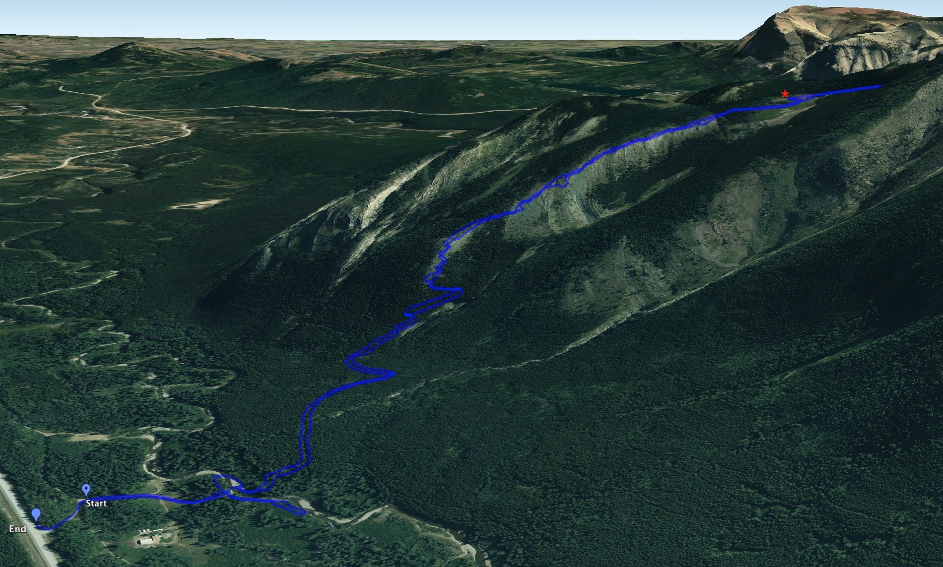
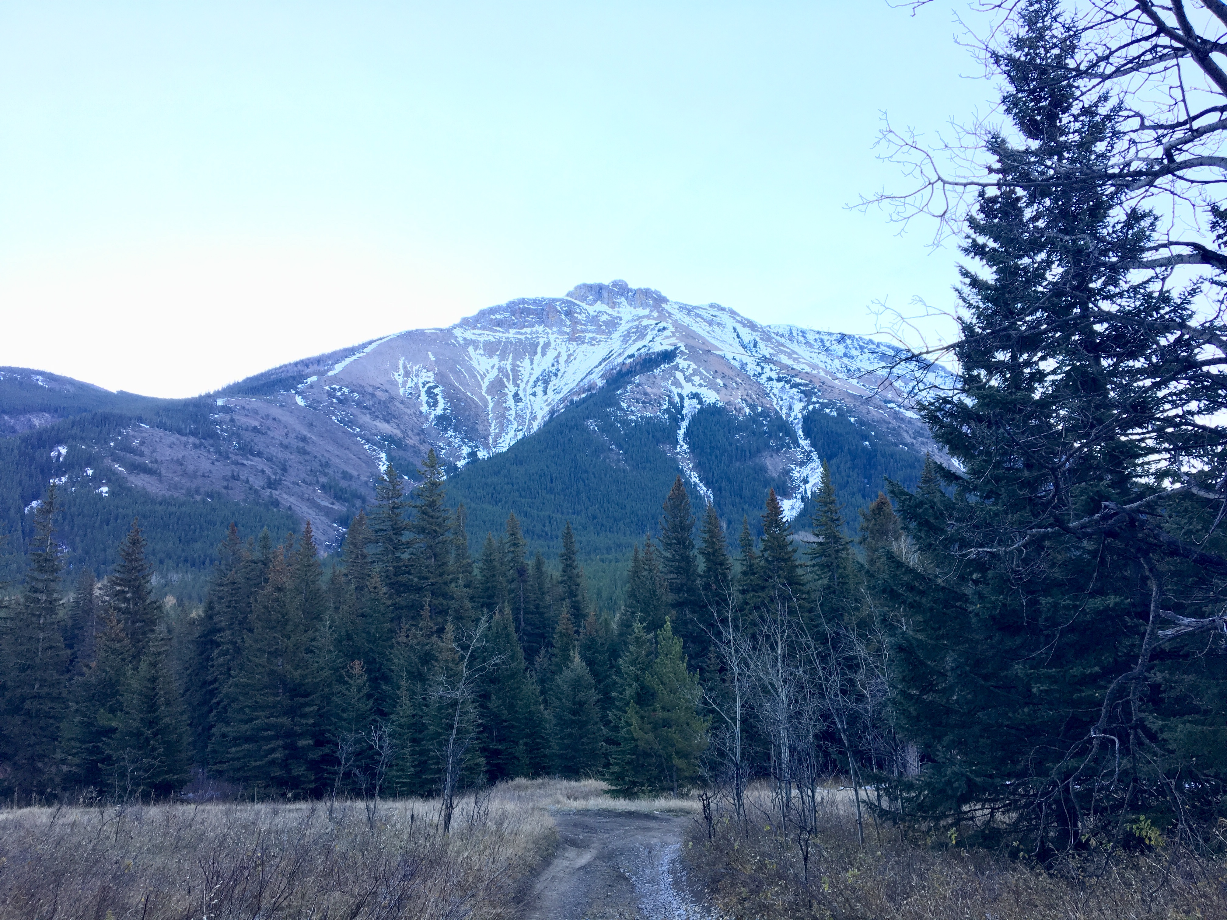
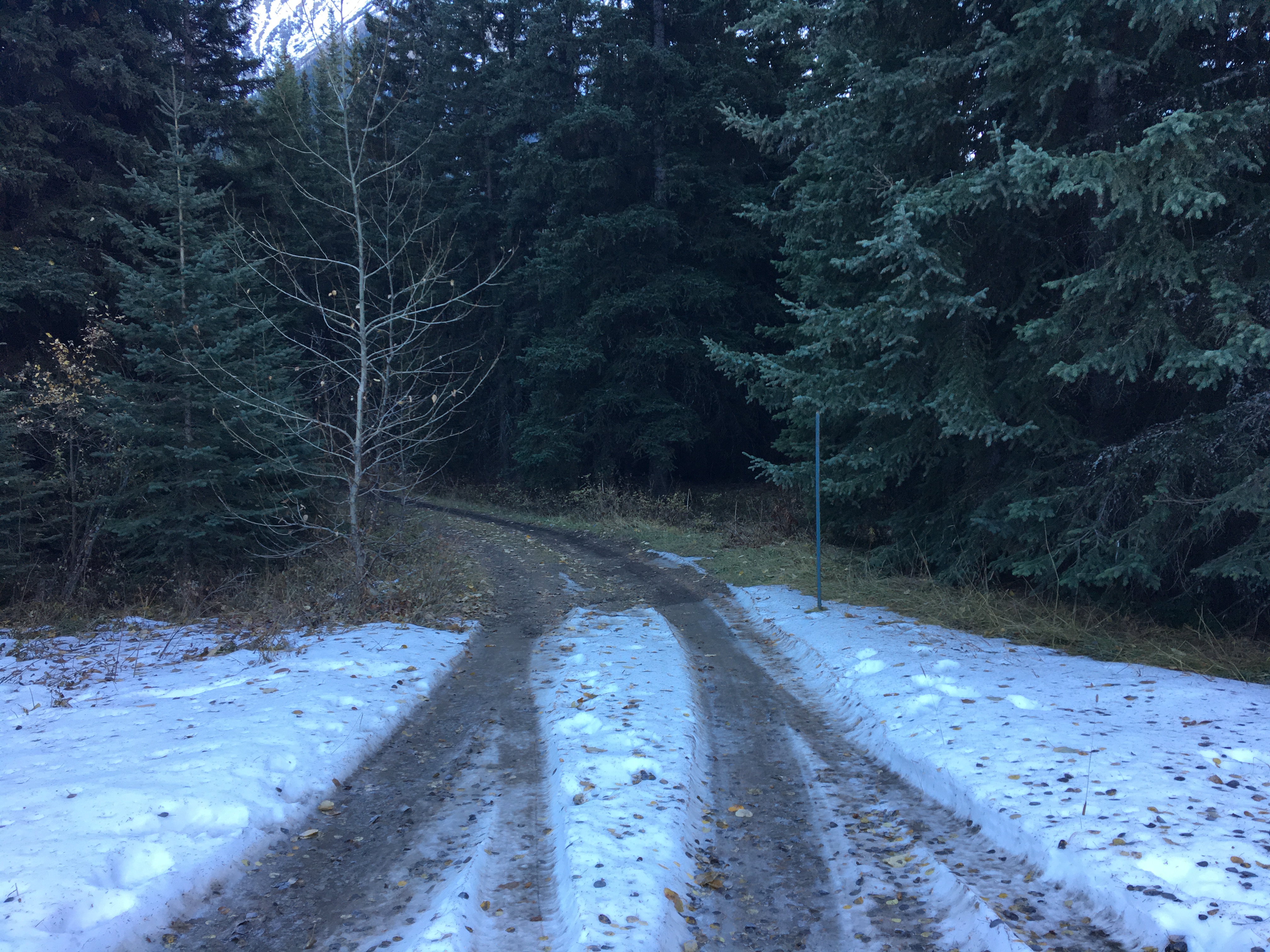
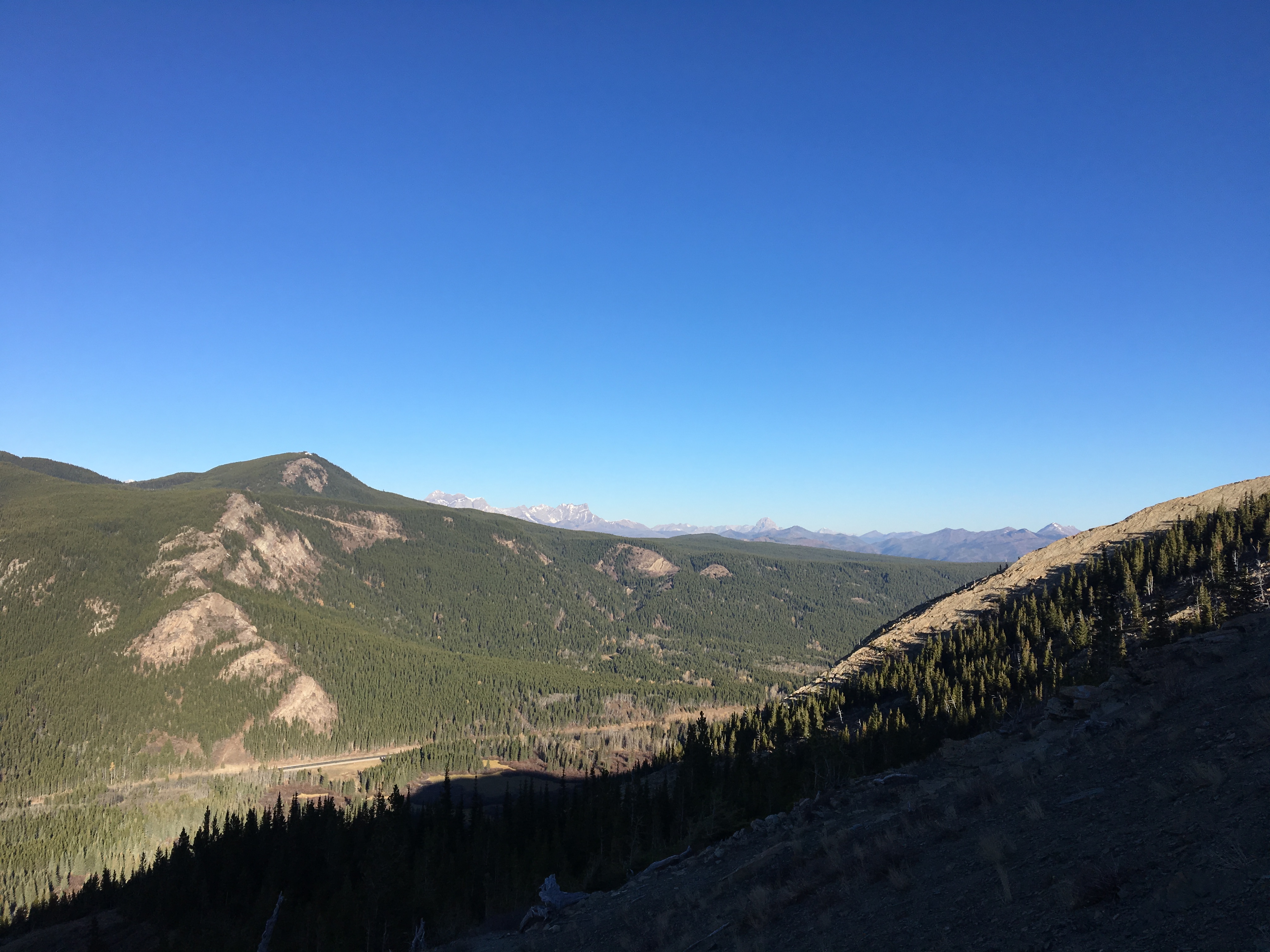
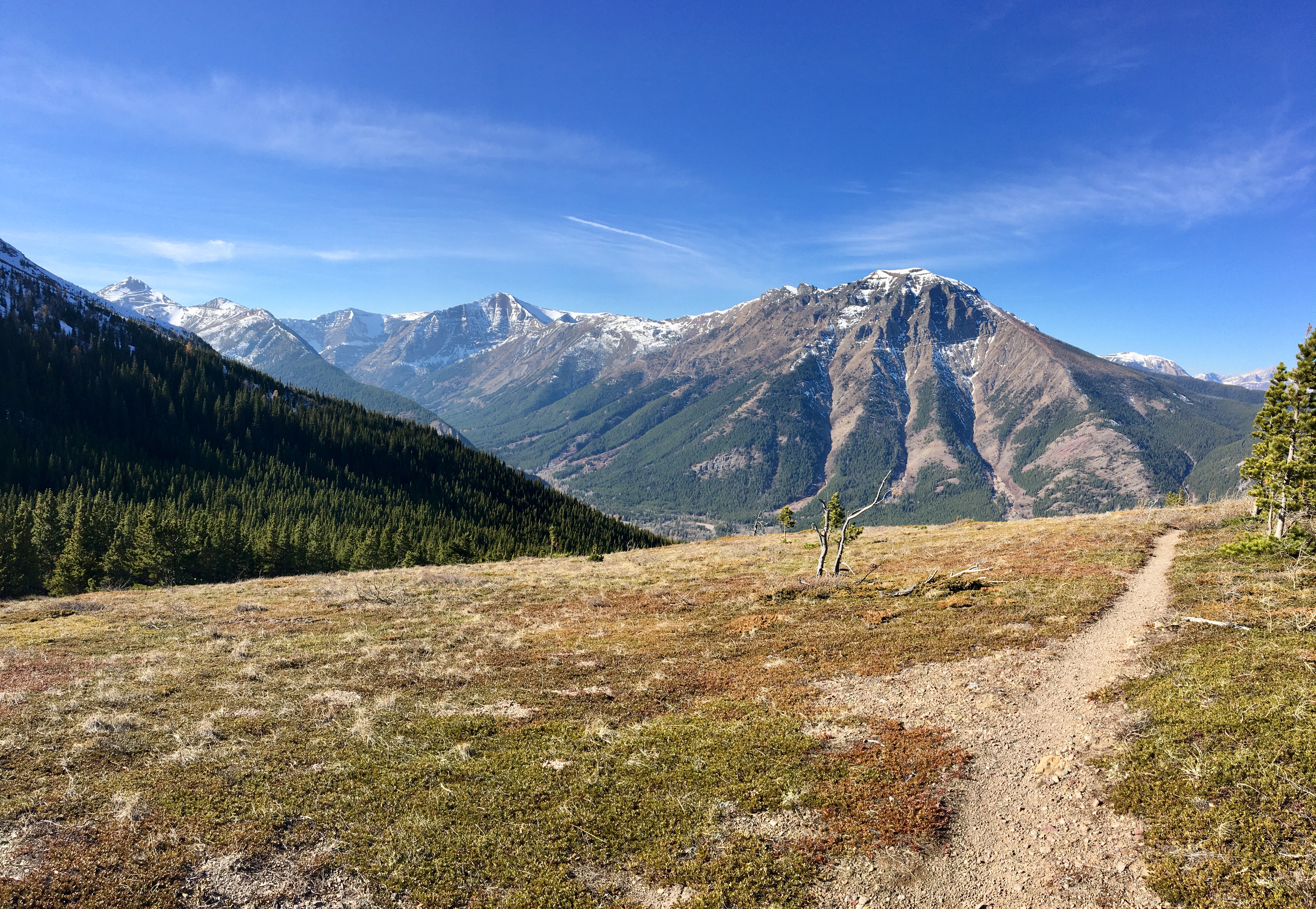
Initially the trail was in the trees and fairly level. Here and there orange trail markers in various states of disintegration were nailed onto trees. There were also a couple of official trail signs. In short order, the trail began a sustained ascent, gaining almost 500 meters in under 2 km. The trail was well maintained and easy to follow along this section, with a few switchbacks to ease the strain of the ascent. On the bright side, it wasn’t too long after starting to climb that the views back across the West Castle Valley started to open up, with Syncline Mountain dominating the view.
Eventually the trail levelled out, leaving the trees behind for a while and skirted around a bare high-point. I visited it on my way back down and there’s a cairn of stones on top. I haven’t been able to find a name for it, so I just called it Southfork Shoulder. It’s at 1884 m elevation, 49.345461N, 114.384211W. The views from that point were excellent, with Syncline Mountain, St. Eloi Mountain and Mount Haig directly across the valley, and Crowsnest Mountain and other peaks in the Crownest Pass visible in the distance. It would make for an outstanding picnic spot.
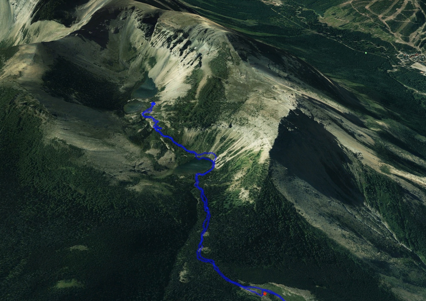
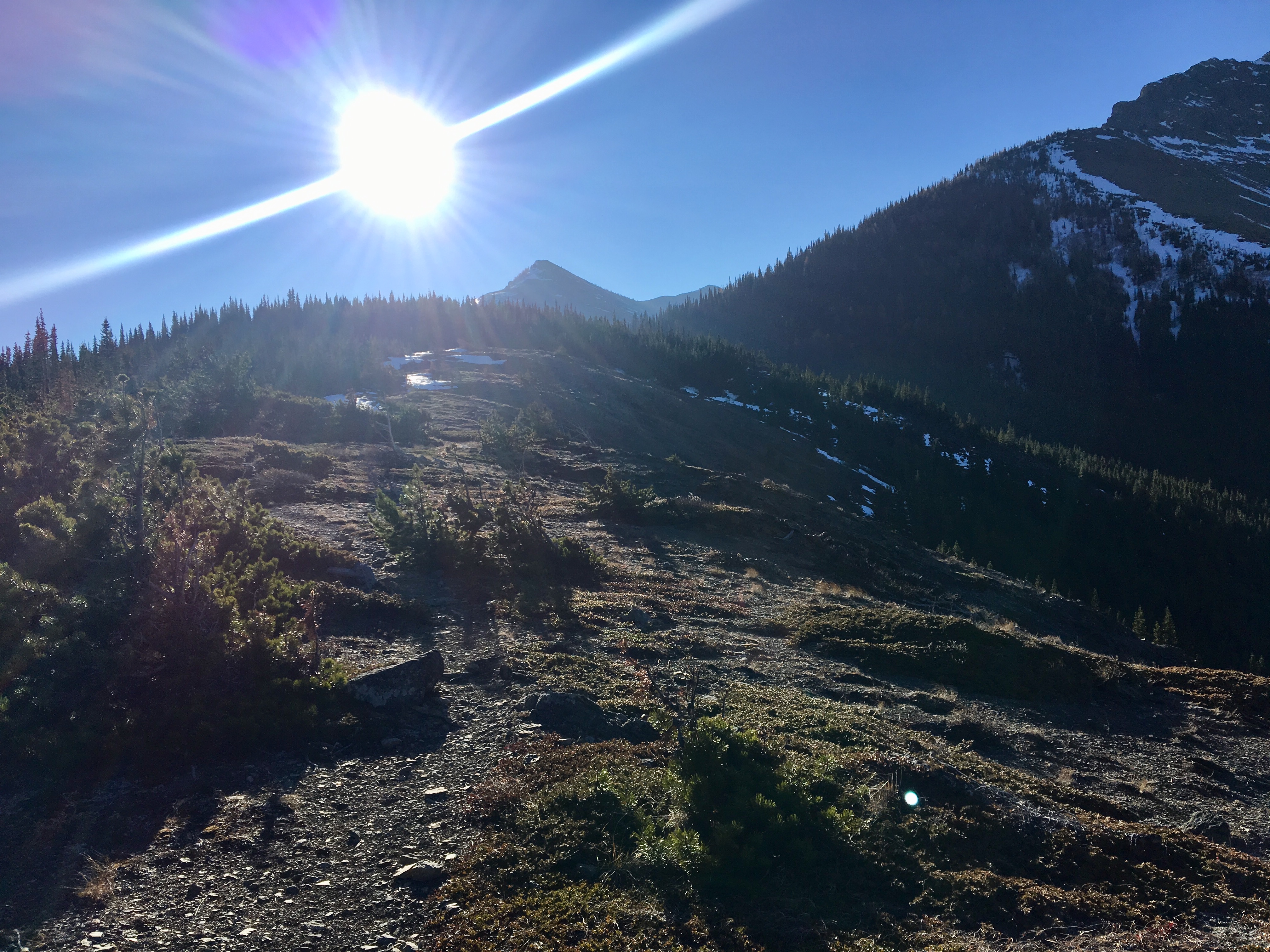
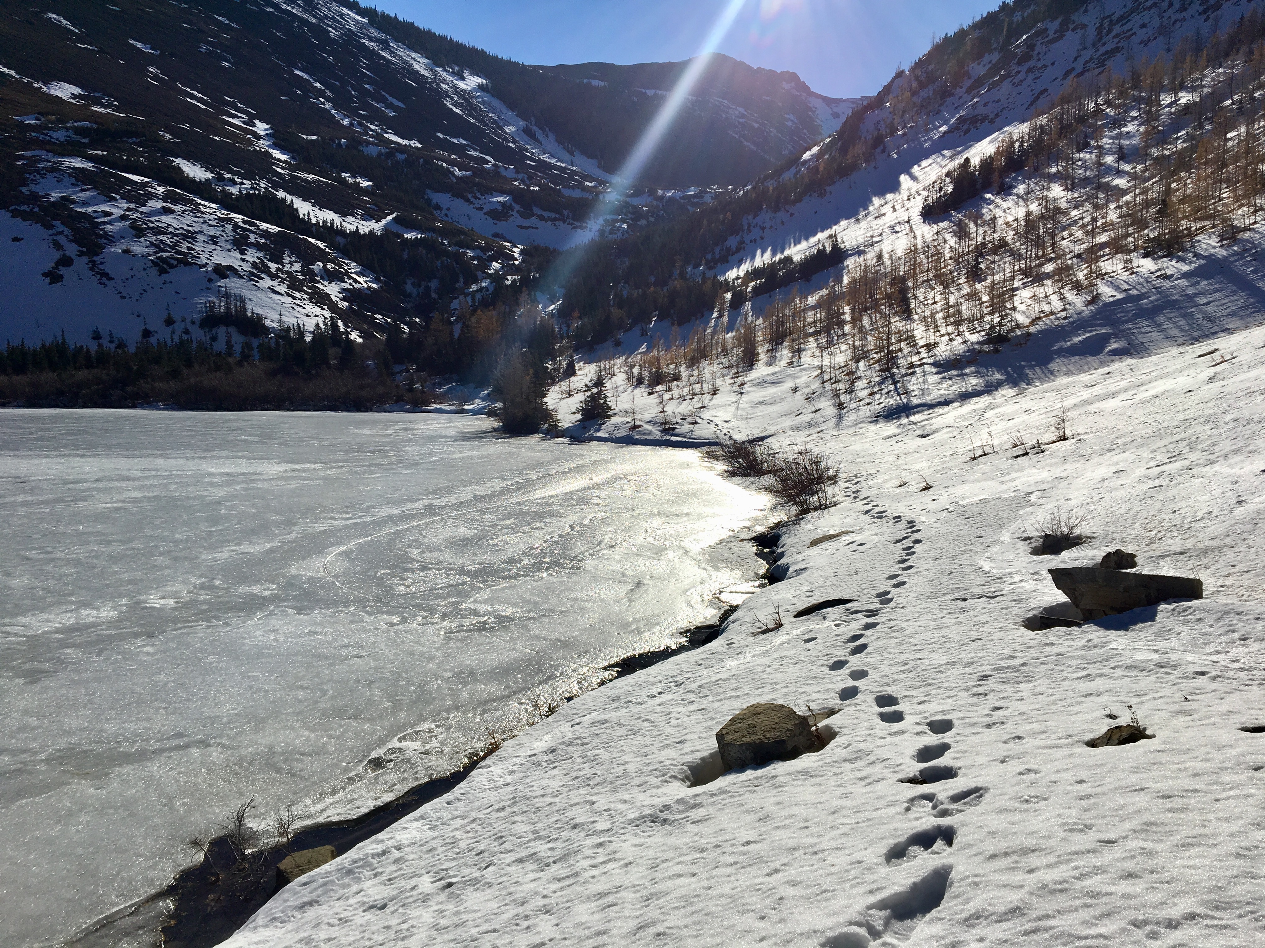
It was fairly easy going beyond that point to Barnaby Lake. The only challenge involved variable depths of snow, none of which posed a major problem. There were bootprints from previous days’ climbers and a variety of animals – there’s at least one big cat walking the trials up there. 1h 45m from my car I reached Barnaby Lake. The sun was low over the mountain ridge, shining right in my eyes, so my initial views were lack-lustre. The lake was largely slush covered and completely surrounded by snow. I followed the western bank around the lake and finally got the sun out of my eyes.
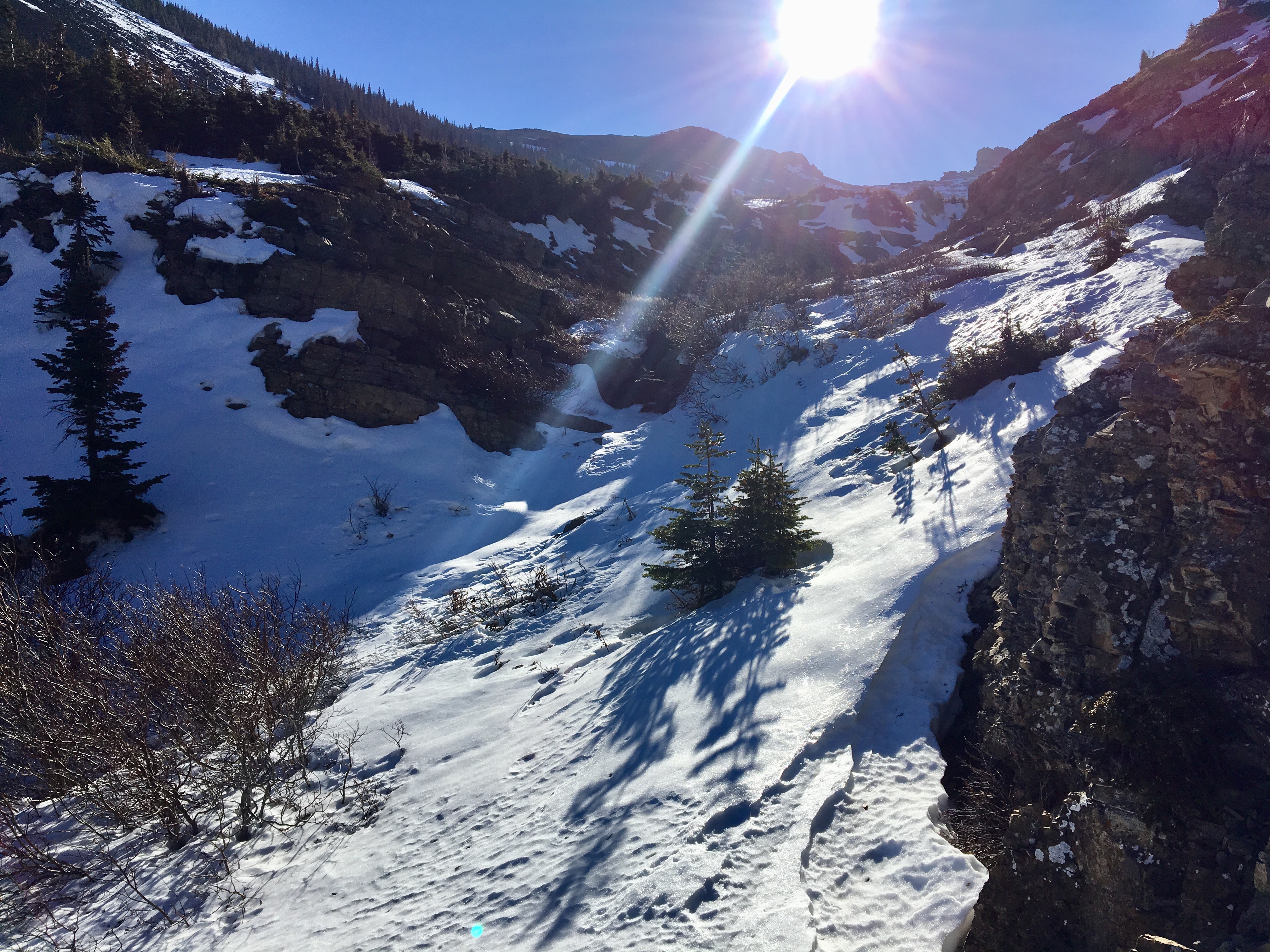
As I continued around the lake, the footprints I’d been following stopped and turned around. I briefly considered doing the same. I had lots of daylight left, though, and the weather was fair. The snow wasn’t piled on the slopes, so there was no avalanche risk. I decided on cautious optimism and carefully started to pick my way through the snow towards the drainage leading down from the upper part of the hanging valley. Despite the variably deep snow cover, I was able to make out where the trail was (most of the time). In warm weather with bare ground I imagine there’d be no issue with route finding. My only difficulties came when I was navigating the steepest part of the ascent, and even there I could see multiple safe routes. Here and there bare ground was visible and I often found myself right on top of the trail.
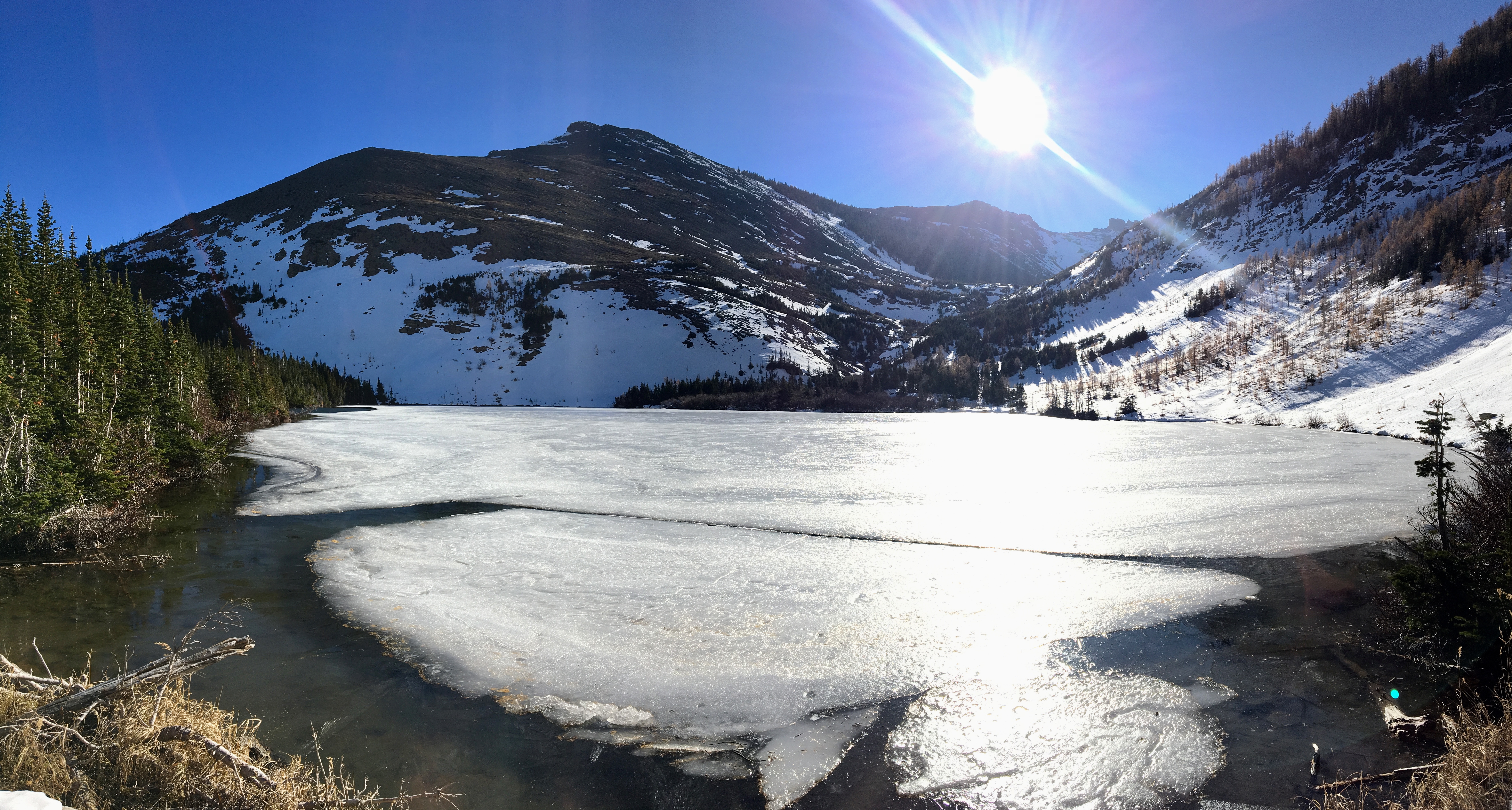
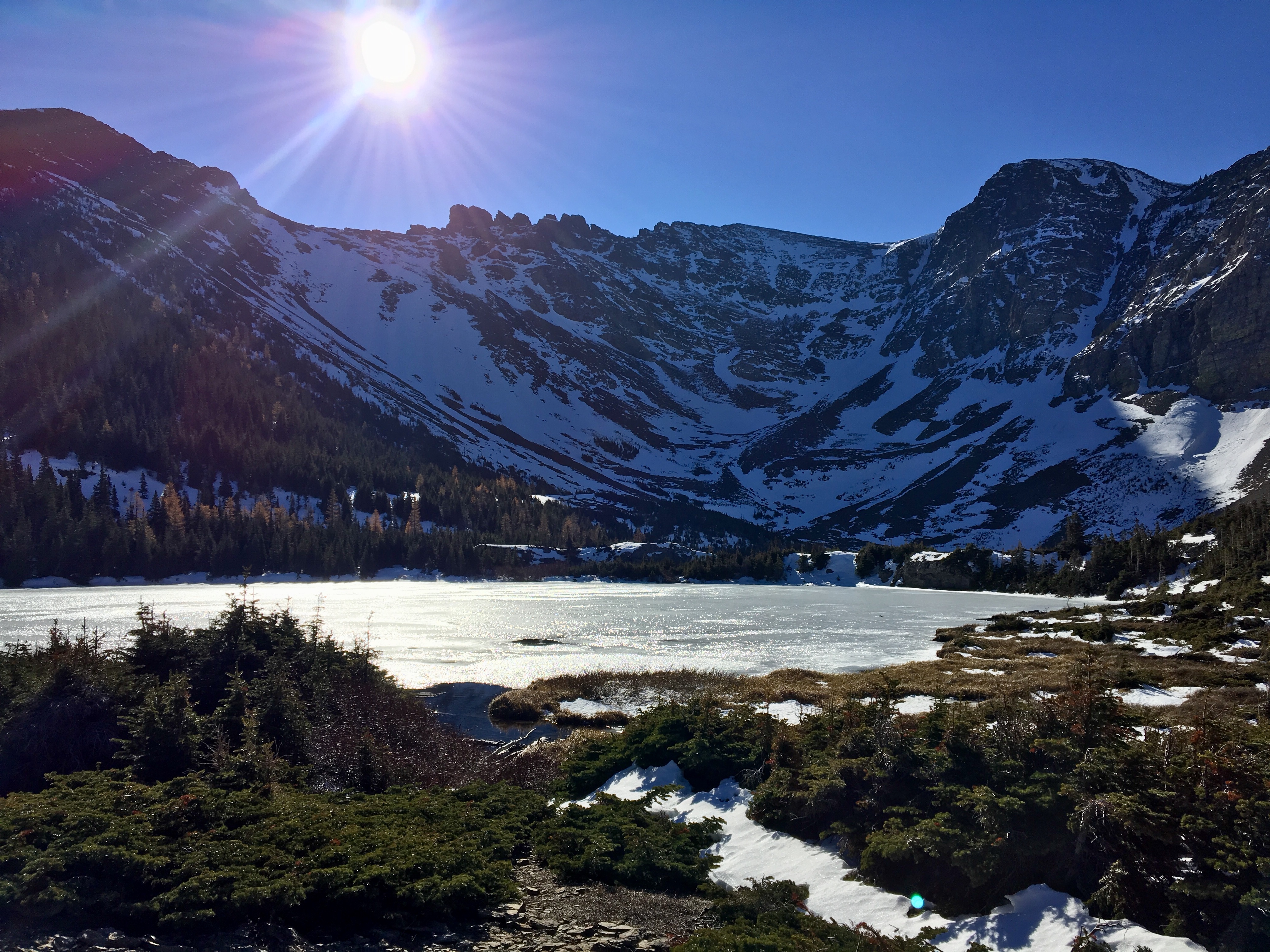
The 2 upper lakes (the Southfork Lakes) were definitely worth the climb. They’re cupped in a picturesque cirque, with the summit of Southfork Mountain rising to the west and Barnaby Ridge extending away to the south – an outlier curves around from the main ridge to form the eastern wall of the cirque. A narrow isthmus separates the two lakes, the larger one sitting at a slightly higher elevation. A rocky ridge rises to the west, and I climbed up there to sit and enjoy the view. It took 2h 27m to reach that point.
The view within the cirque was grand. Both lakes were covered with ice and slush, and there was lots of snow all around. Looking up at the summit of Southfork Mountain I could see that it would be an easy scramble to reach it from the lakes. I wasn’t planning on extending my day, though, and I’d had enough trouble post-holing in deep snow up to that point. I wasn’t about to underestimate the difficulty that the innocent-looking snow patches high up on the ridge could represent. Out the north end of the cirque I had a crystal-clear view of Crowsnest Mountain and Centre Peak.
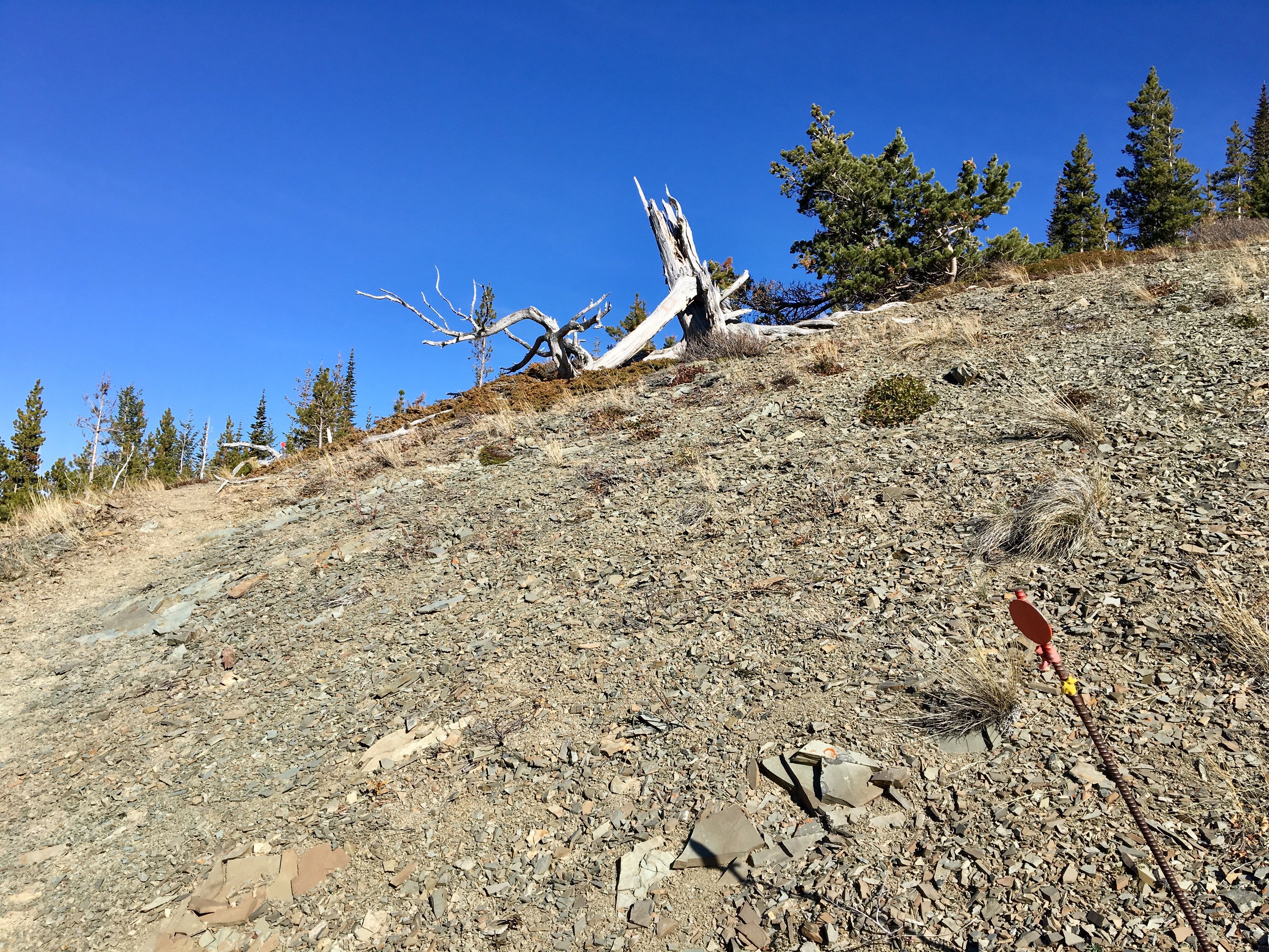
After a short break I made my way back down. I did some minor slipping and sliding on the snow as I descended. The light had changed quite a lot since the early morning, so I ended up pausing on Southfork Shoulder to take pictures and ponder 40 years.
Click on the pictures in the gallery below for full-sized images.


I hiked up solo on the 30th, half of the lakes up top we’re thawed again by then and I only encountered a little bit of snow where I saw what must have been your footprints
LikeLiked by 1 person
Looks like a fine place to camp for a few days while exploring/climbing!! 2021 is the Summer!
LikeLiked by 1 person