June 3, 2017. *Update as of May 24, 2020*
- Region: Crowsnest Pass. Traditional Territory of the Blackfoot, Tsuu T’ina, and Ktunaxa First Nations
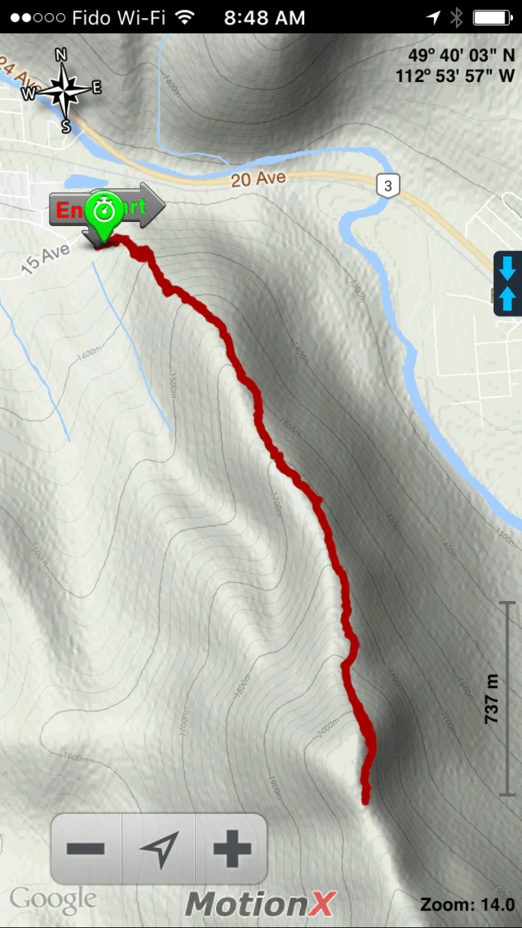
- Total distance: 6 km round-trip
- Total ascent: 824 m
- Elevation of objective: 2105 m
- Total time: 3h 15m
UPDATE: In the 3 years since my last visit, there have been some changes, both in how I record information in this blog and in the trail itself. So, here’s some up-to-date info.
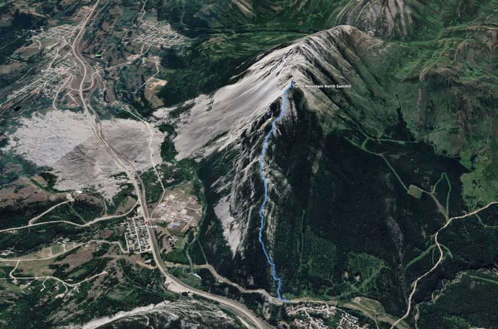
To access the trailhead, drive to Blairmore on Hwy 3 and turn into the town at the 20 ave bridge (the first access point if you’re coming from the east). Follow 20 Ave around a bend then turn left on 133 St. Follow this to the T-intersection with 15 Ave and turn left again. Follow 15 Ave as it turns right, then left and watch for a dirt road departing from the right which is marked with a sign for the Turtle Mountain trailhead. A short distance along this road is a clearing with ample parking space. Ask Google Maps to drop a pin here and it’ll mark the dirt road: 49.602534, -114.430675
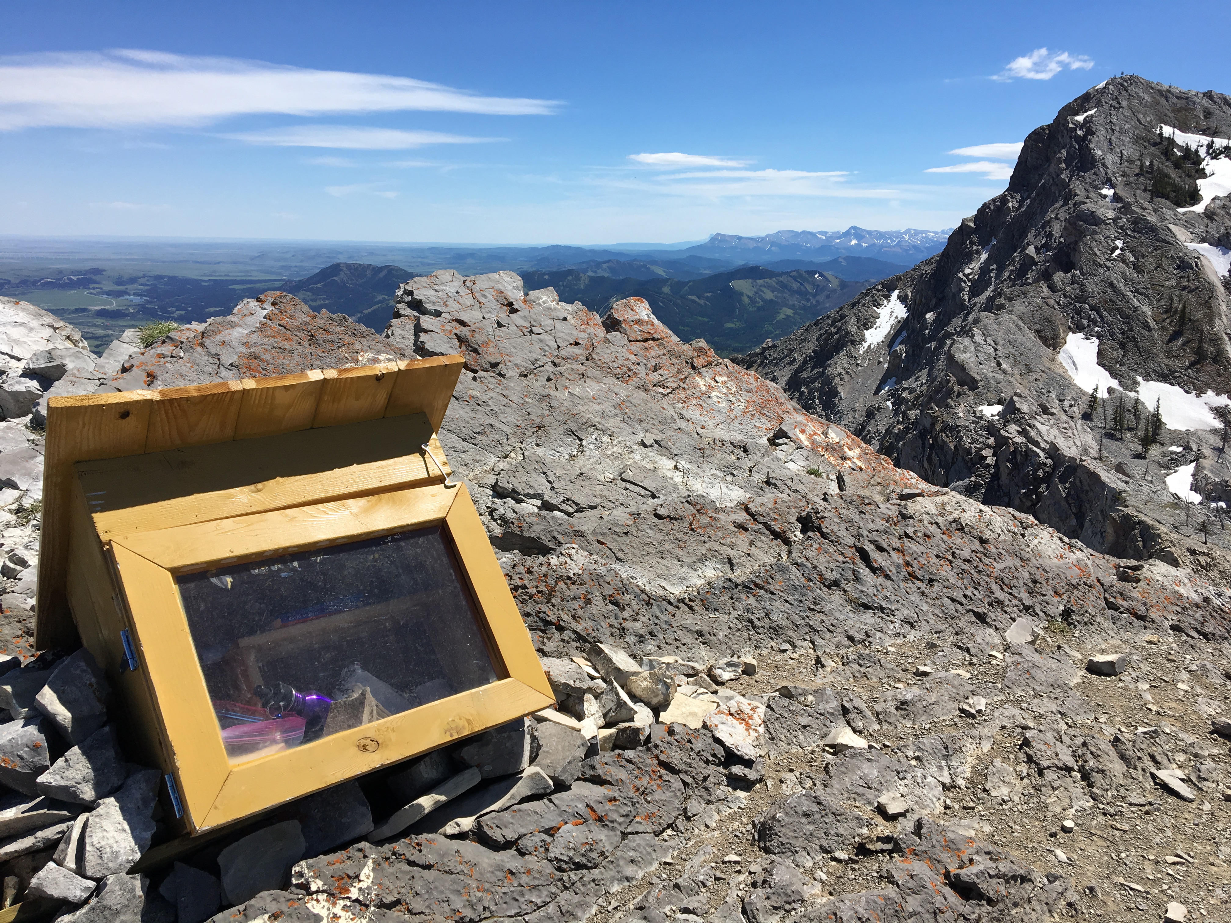
It looks like some effort has been put into maintaining the trail since I was last here. The summit register on the north summit has been removed at some point in the last 3 years. There’s just a little bit of re-bar sticking up at the North Summit, nothing else.
ORIGINAL POST:
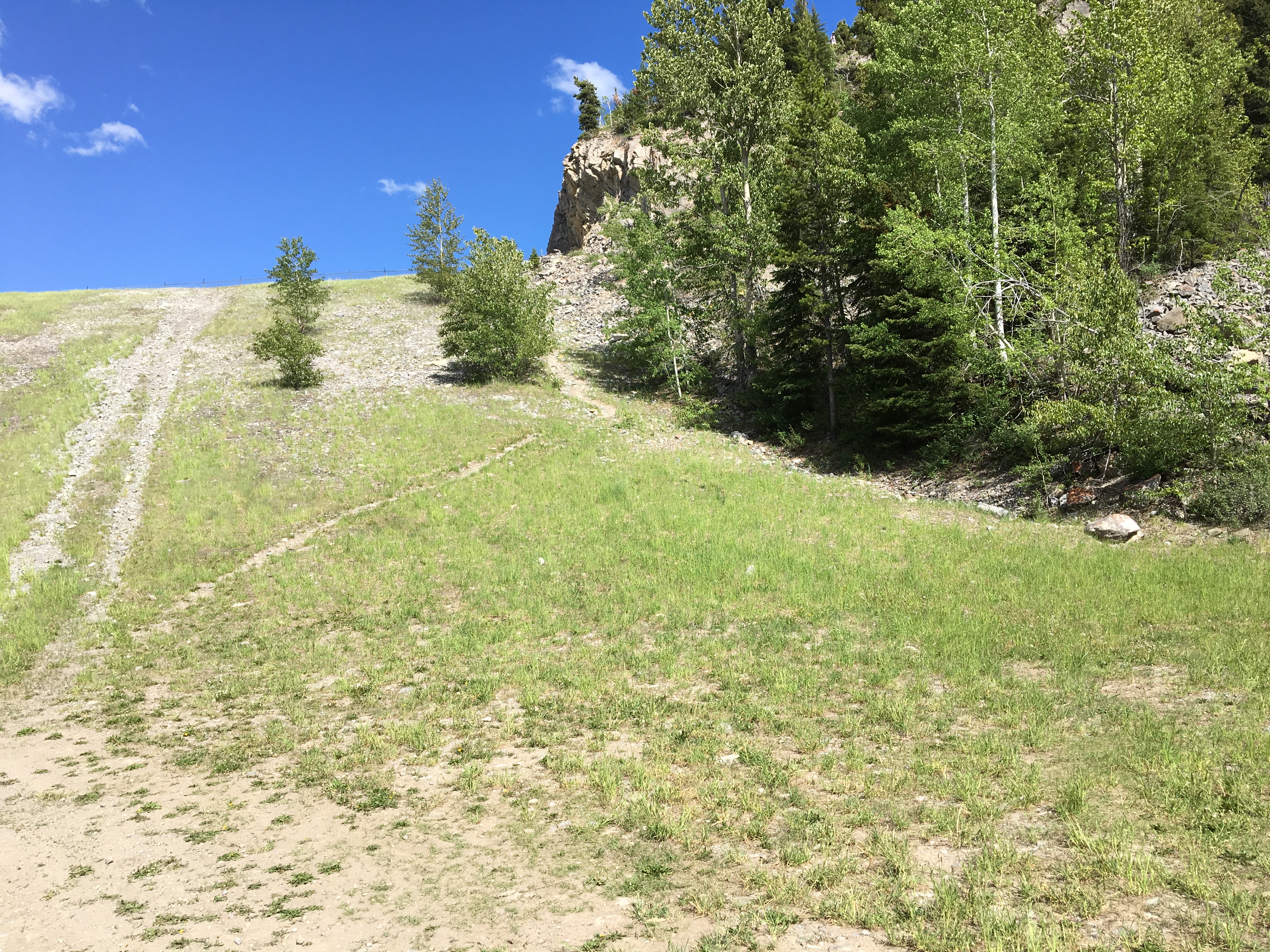
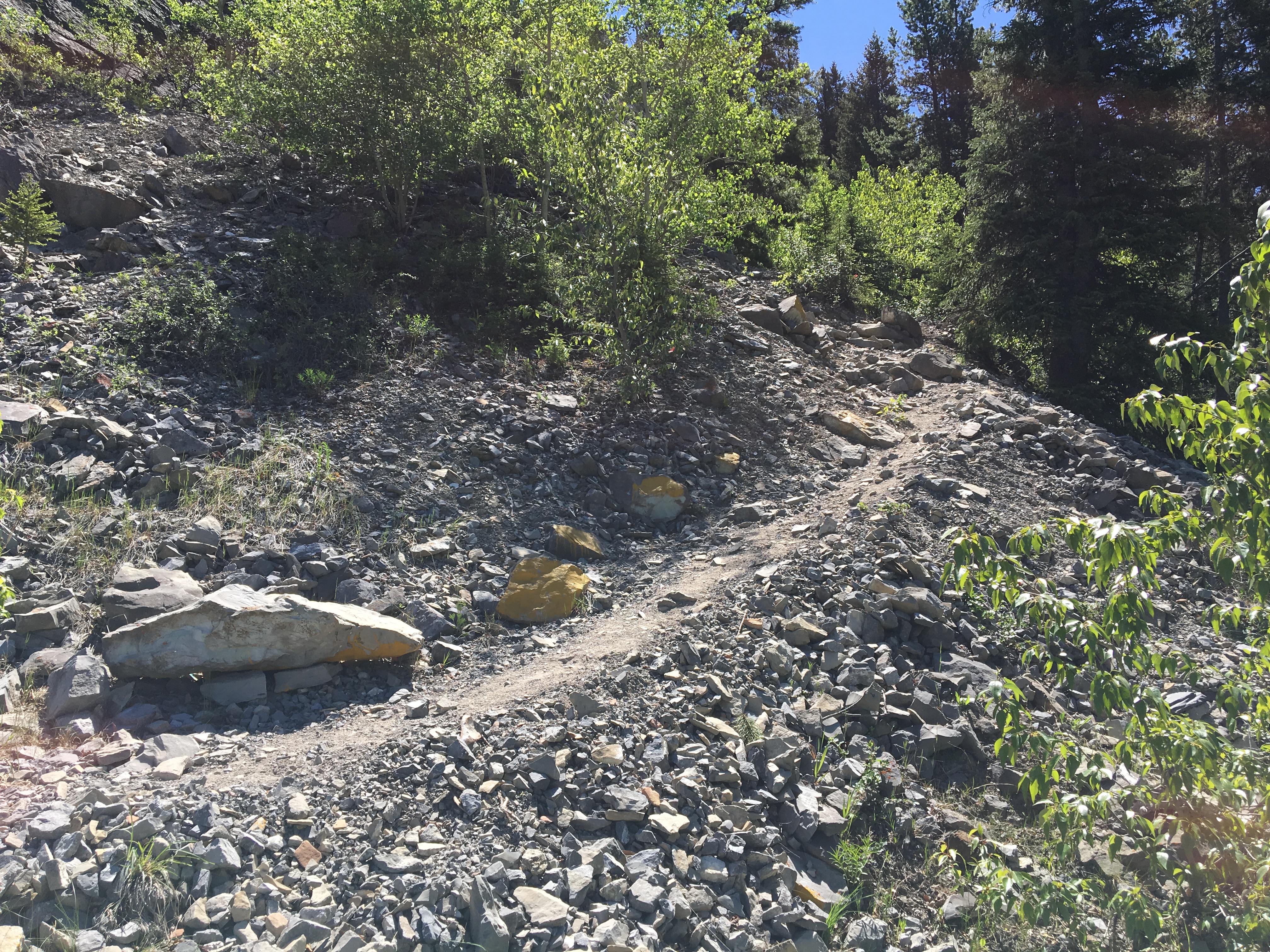
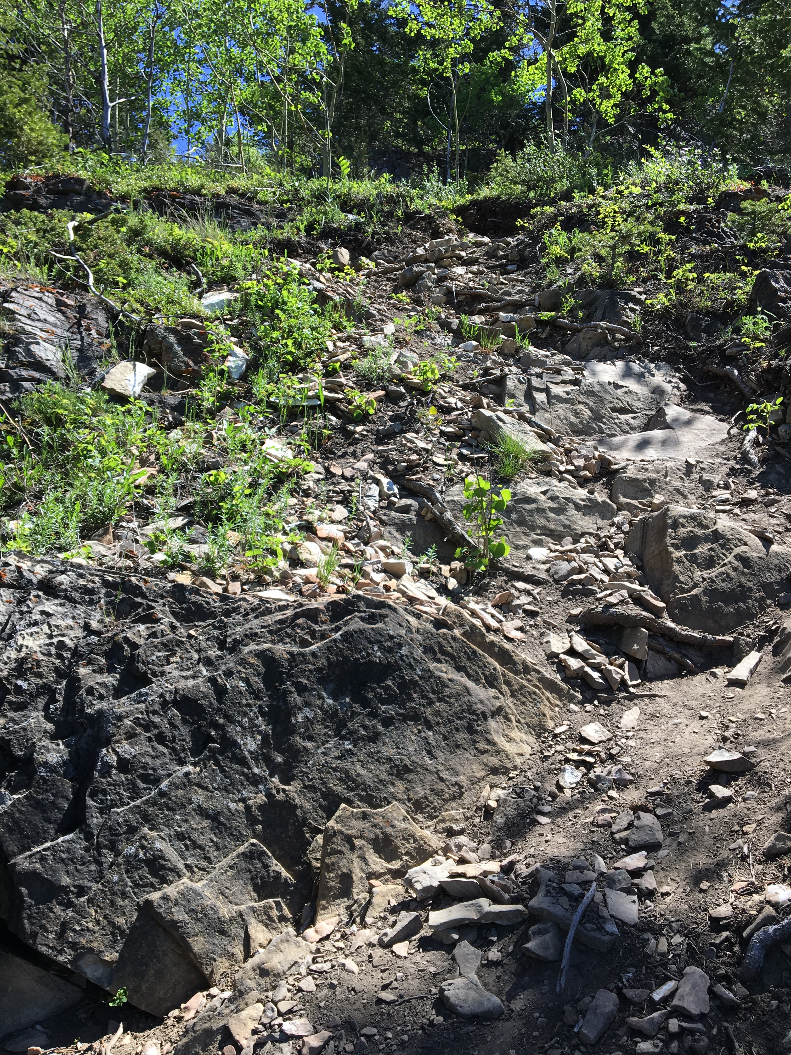
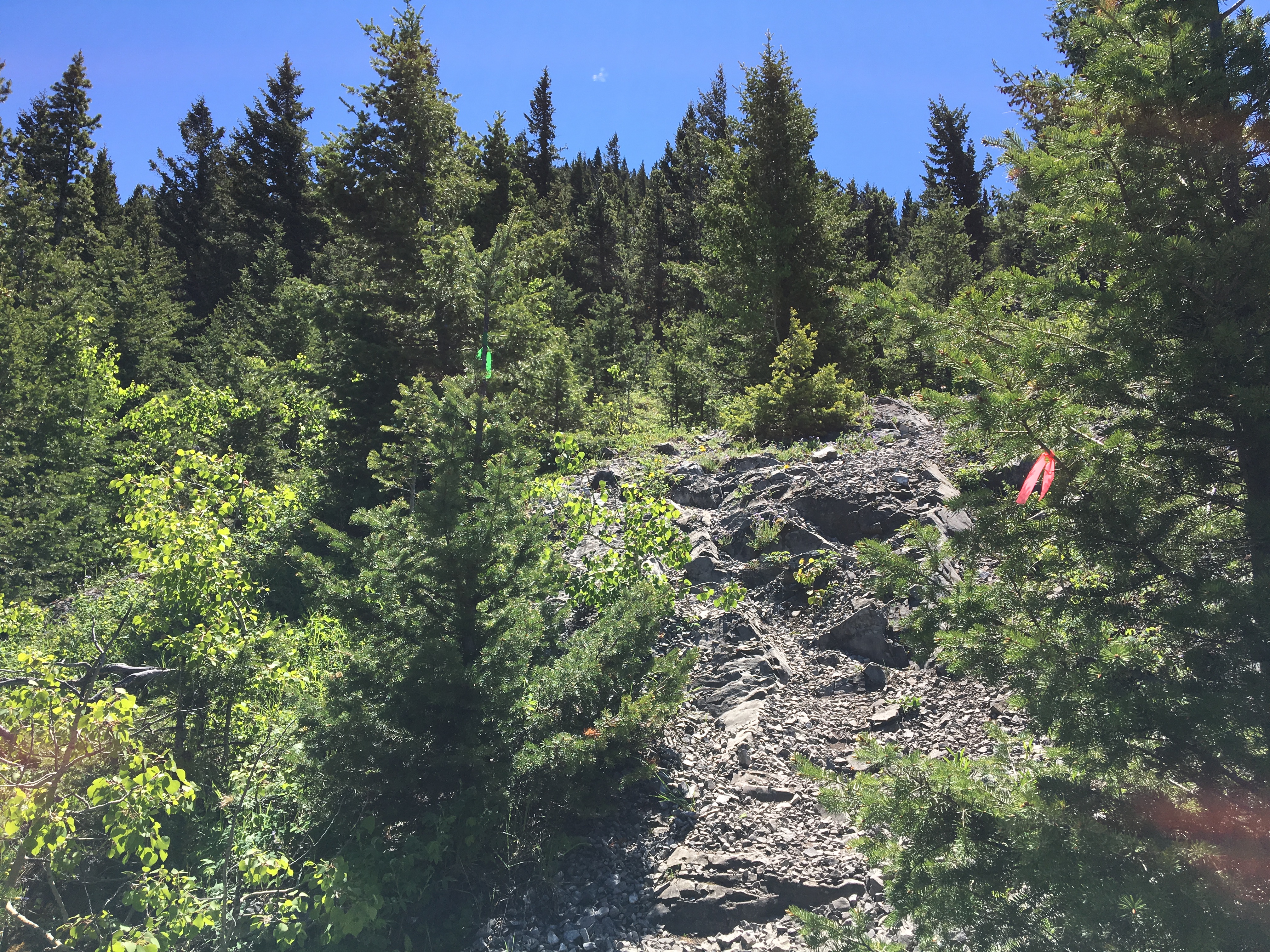
I hadn’t done this hike before, so I went with the info in the 3rd (newest) edition of Kane’s Scrambles in the Canadian Rockies. His description is a little out of date, since it mentions power lines at the parking area and descending to the trailhead. There are currently no power lines there, which was briefly confusing. I knew I had the right trailhead, though, because of the painted yellow rocks marking the start. The route is pretty easy to follow, since there’s an evident trail most of the way, and frequent orange ribbons tied on to trees to mark the way. I’ll put the pics below that show the way down to the trailhead.
The weather was excellent – sunny with a few clouds, temperatures in the 20s. There was wind, which seemed to pick up through the day. For most of the hike, though, it was a non-issue.
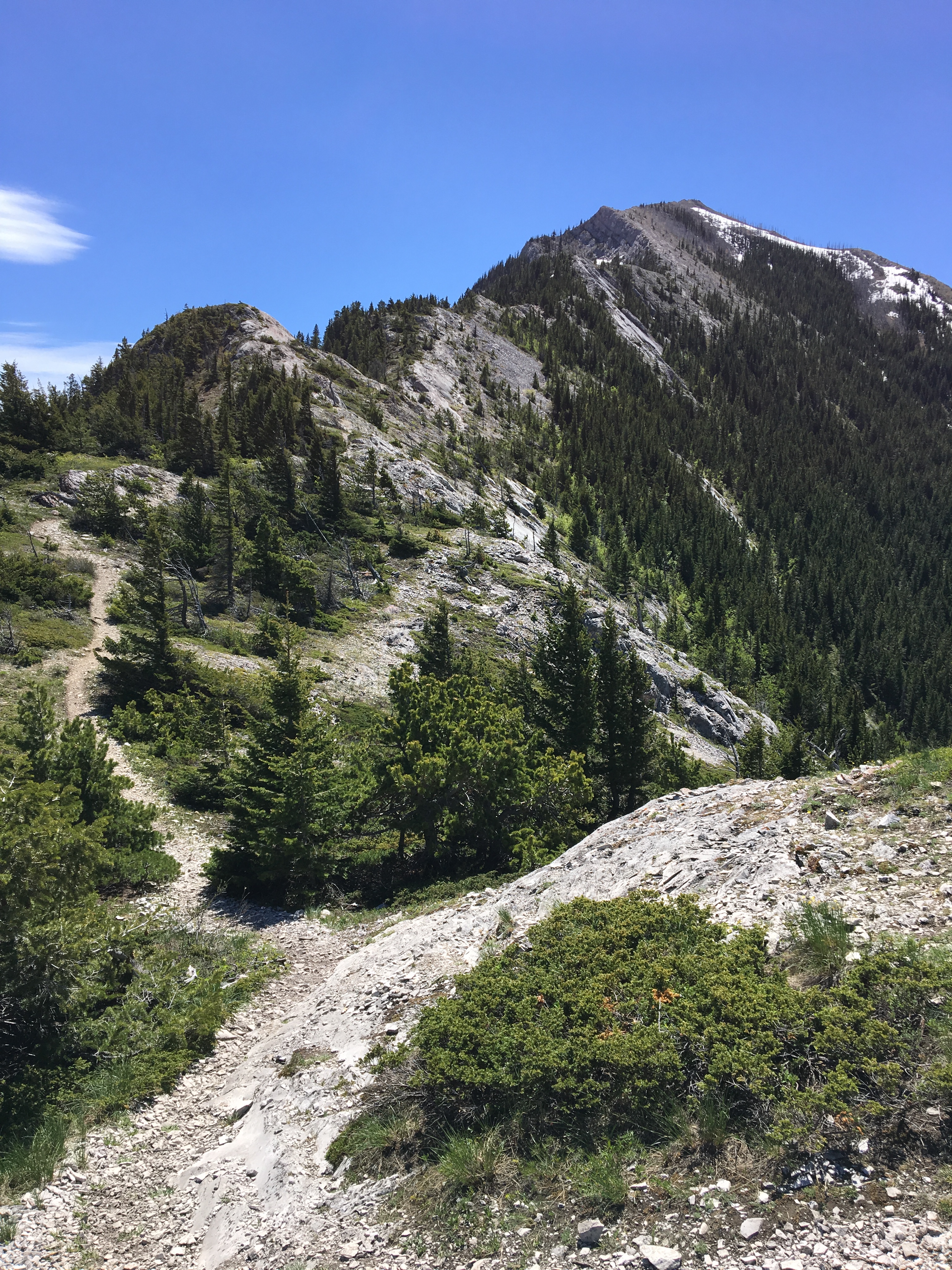
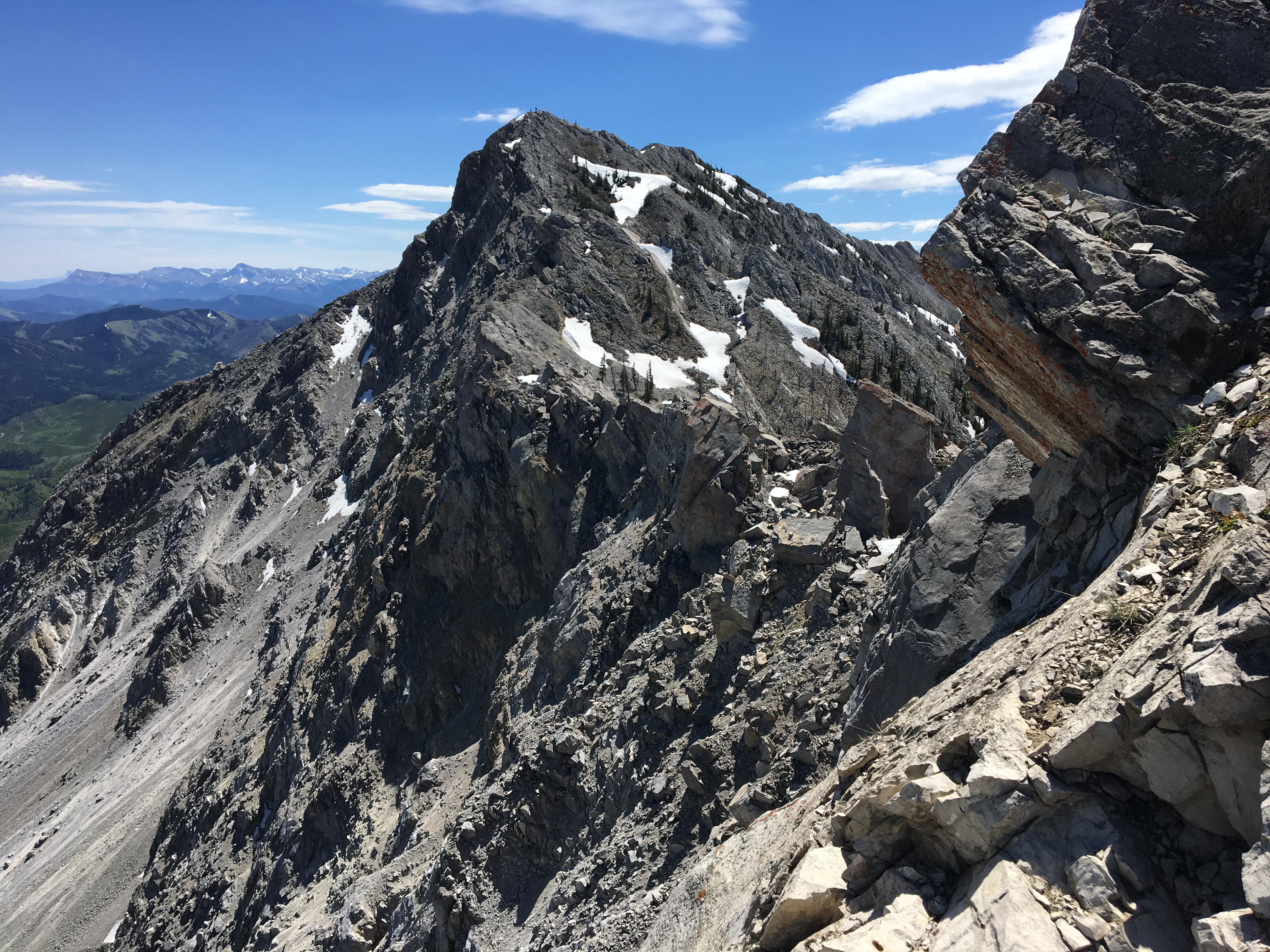
Getting to the north summit doesn’t involve too much actual scrambling, but traversing to the south (true) summit does. I went part of the way across the saddle between the summits, where there is plenty of scrambling to be found. I was by myself, though, and it was getting more windy by that time so I concluded my hike at that point.
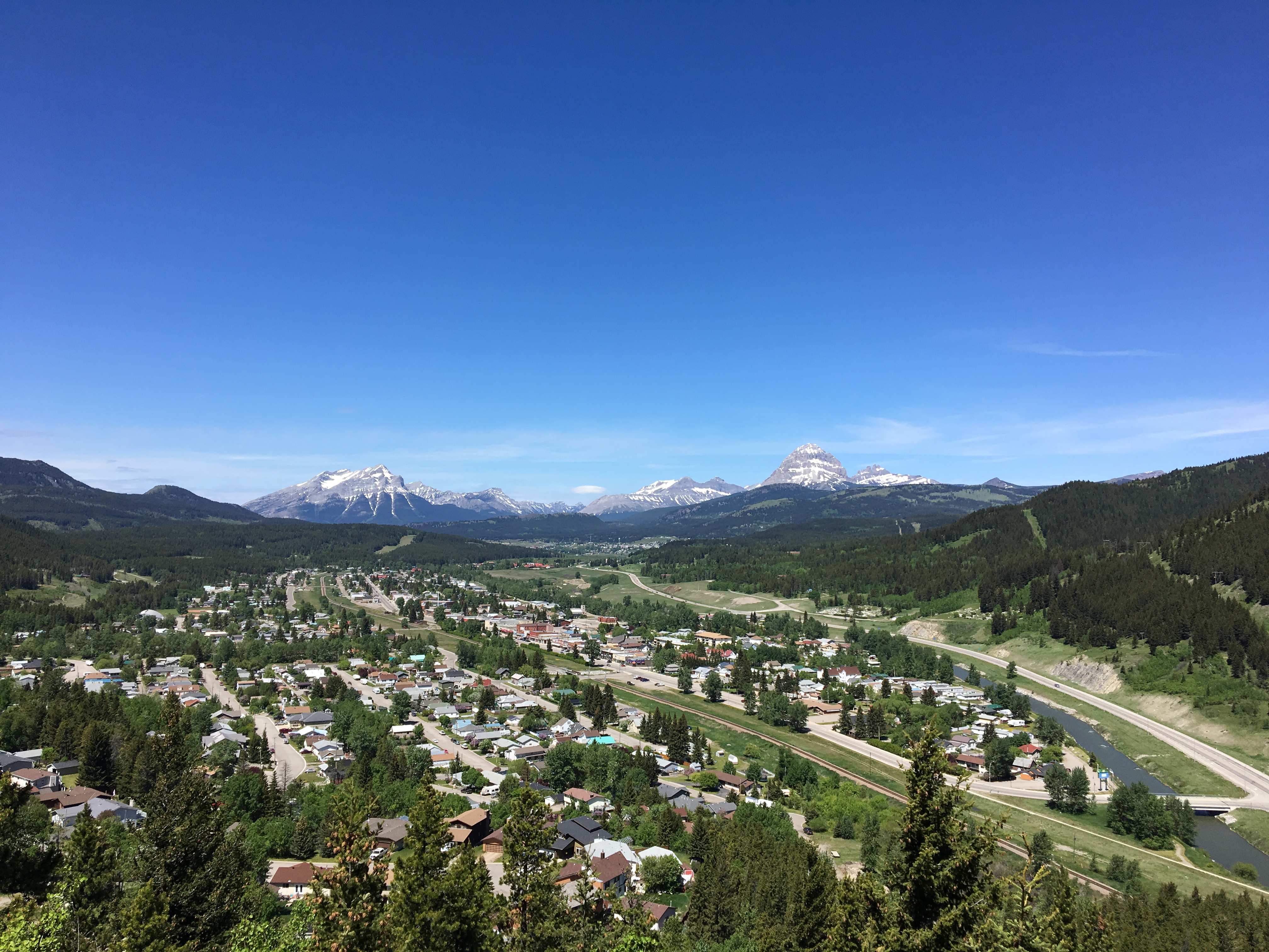
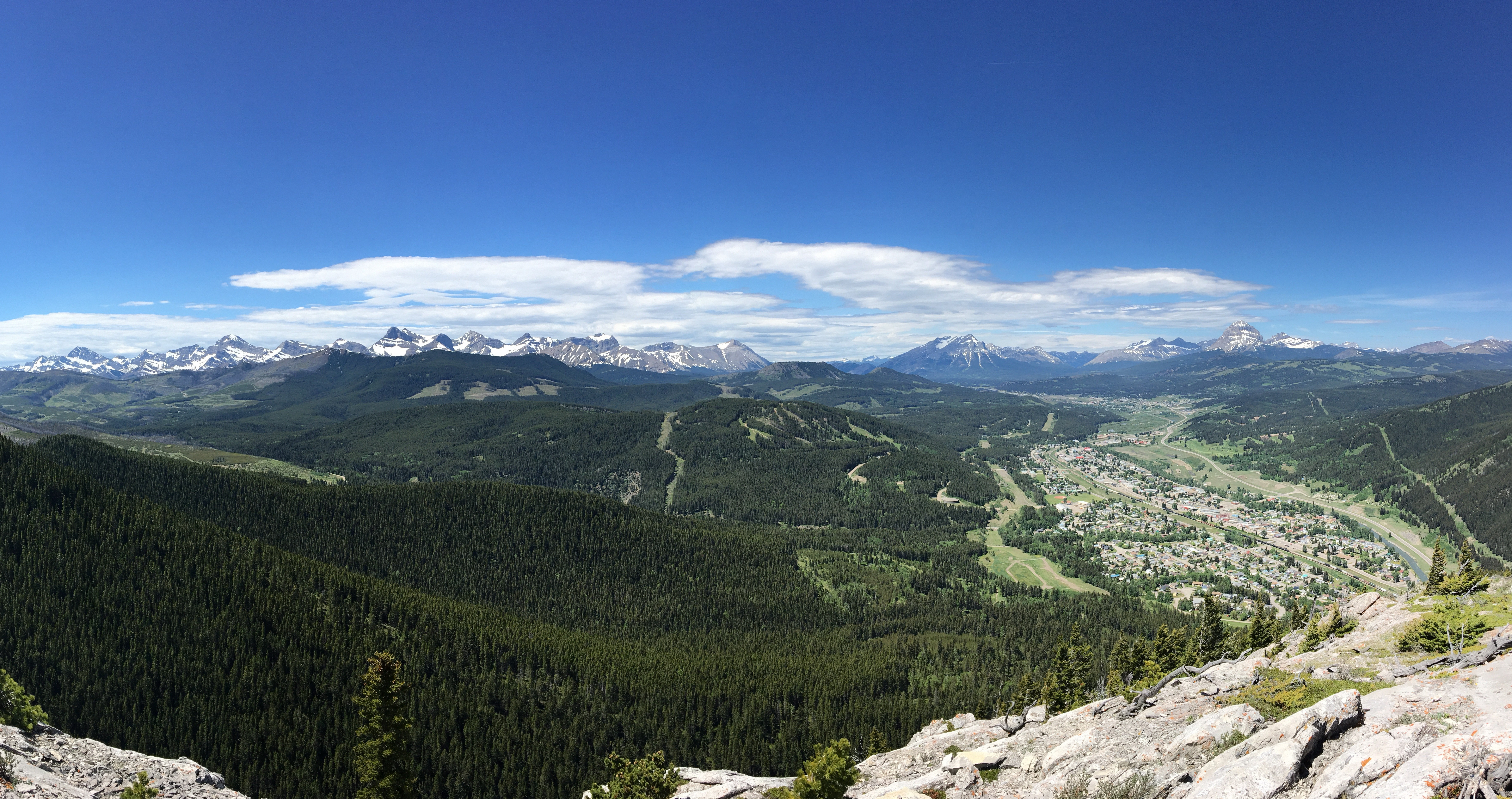
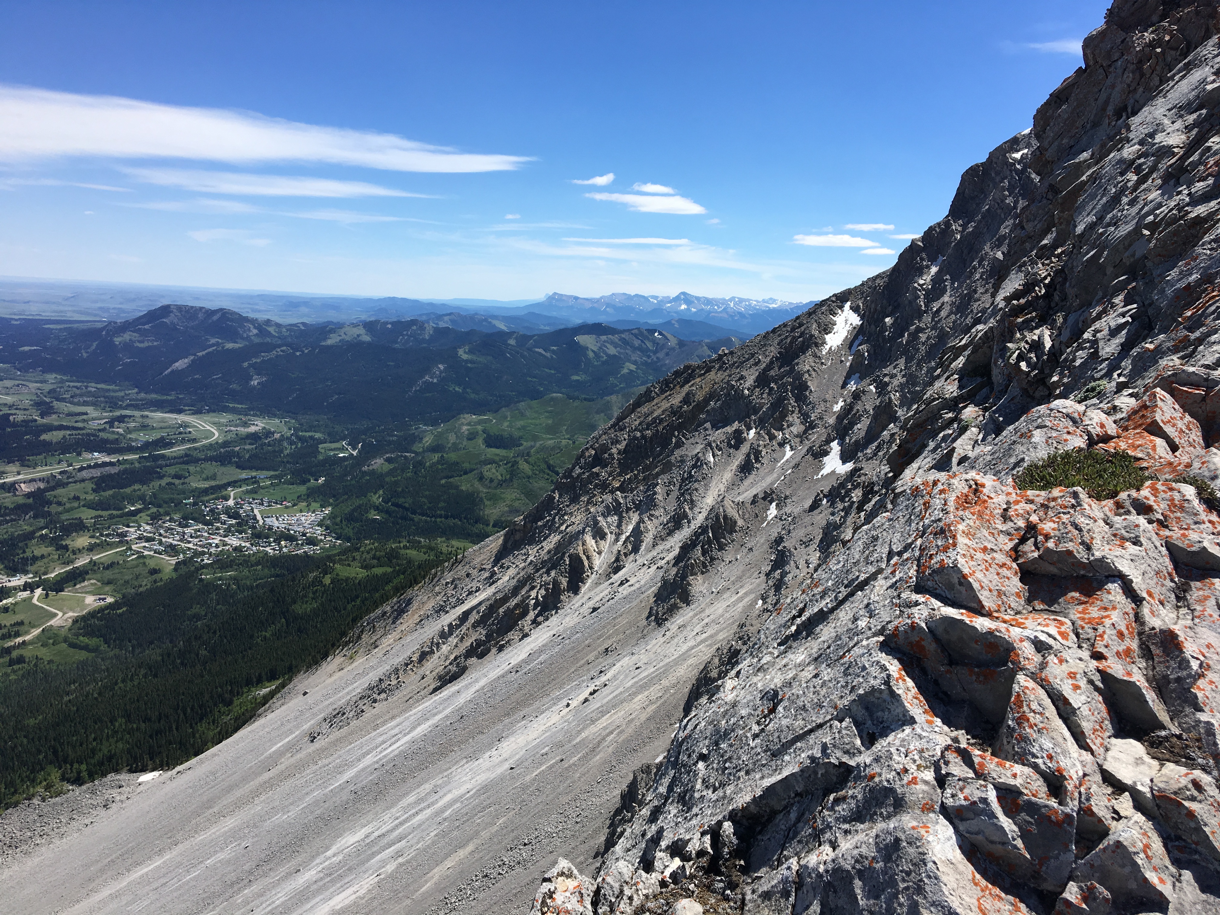
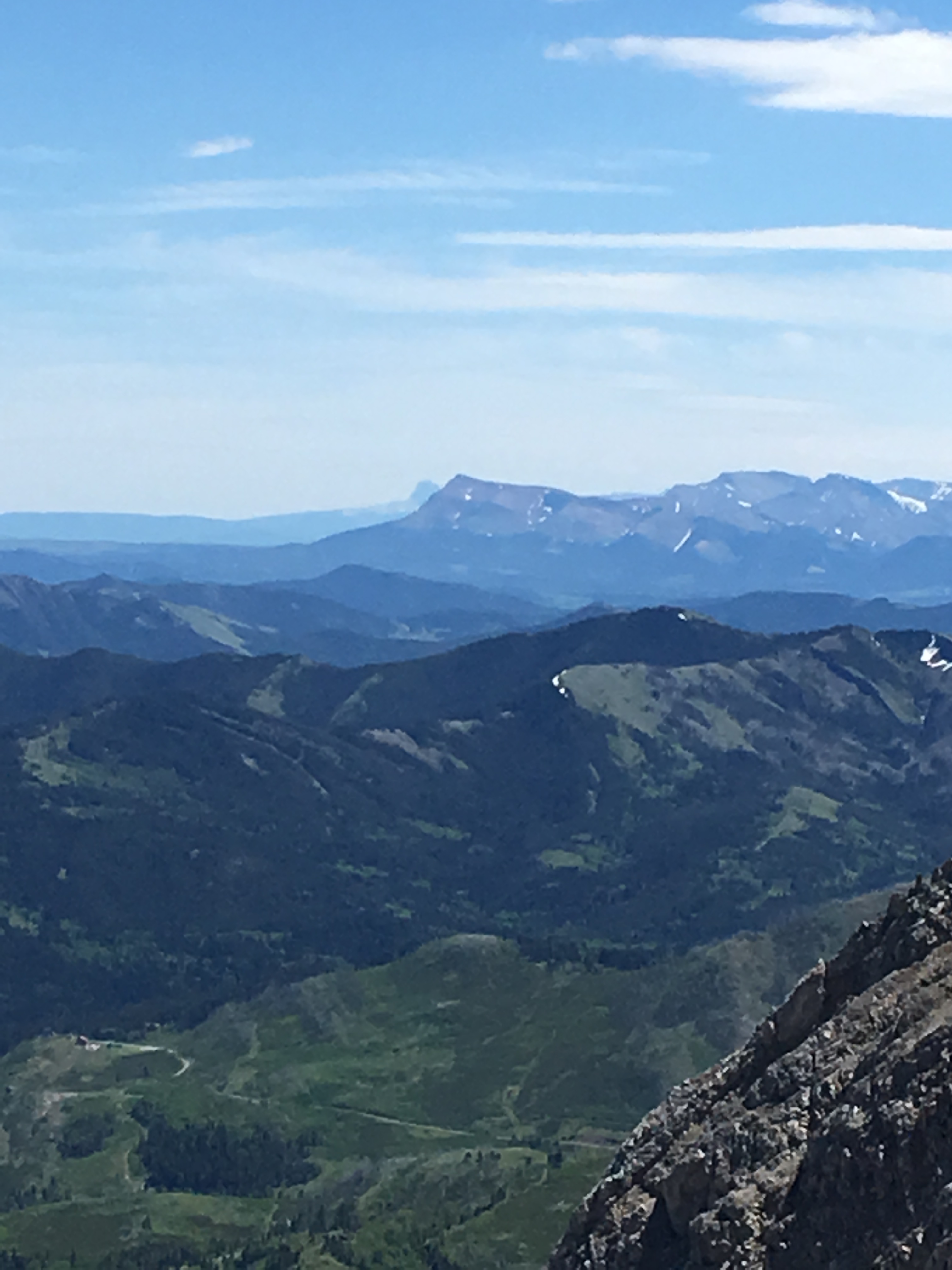
This is a great hike/scramble in terms of immediate rewards. You park at the base of the mountain and immediately have pleasant views of Crowsnest Mountain and the Seven Sisters. As you ascend, the big peaks along the continental divide come into view. Once you reach the top of the ridge, you get awe-inspiring views of the famous Frank Slide rock field.
Click on the pictures in the gallery to access the full sized images in a new tab.

That looks like an awesome experience! I wish I could do more “outdoorsy” things like that. I love that you included pictures to show your route.
LikeLike
Thanks for the comment. It was a great day!
LikeLike
Great hike …well done … good photos
LikeLike
Thank you for reading and commenting!
LikeLike
Looks like an awesome hike! Thanks for the great pics and info
LikeLike
Thank you!
LikeLike