December 10, 2019. A scenic snowshoe loop, touching two low summits in Beauvais Lake Provincial Park.
- Region: Beauvais Lake Provincial Park. Traditional territory of the Blackfoot, Tsuu T’ina, and Ktunaxa First Nations
- Distance: 8.45 km loop
- Elevation of Objective: Mount Baldy 1,585 m, Mount Albert 1,691 m
- Total Ascent: 425 m
- Total Time: 3h 16m
- Safety and Disclaimer
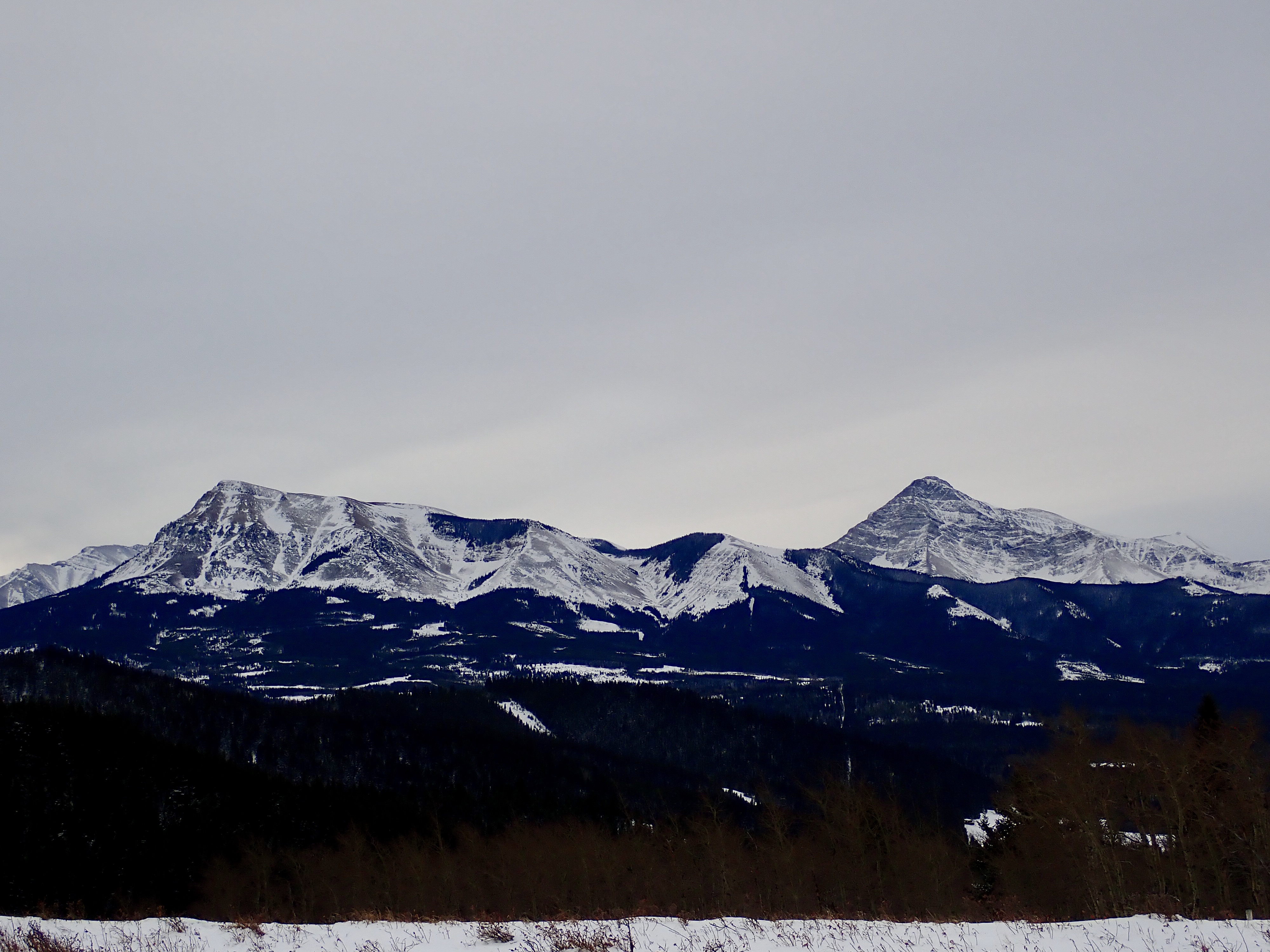
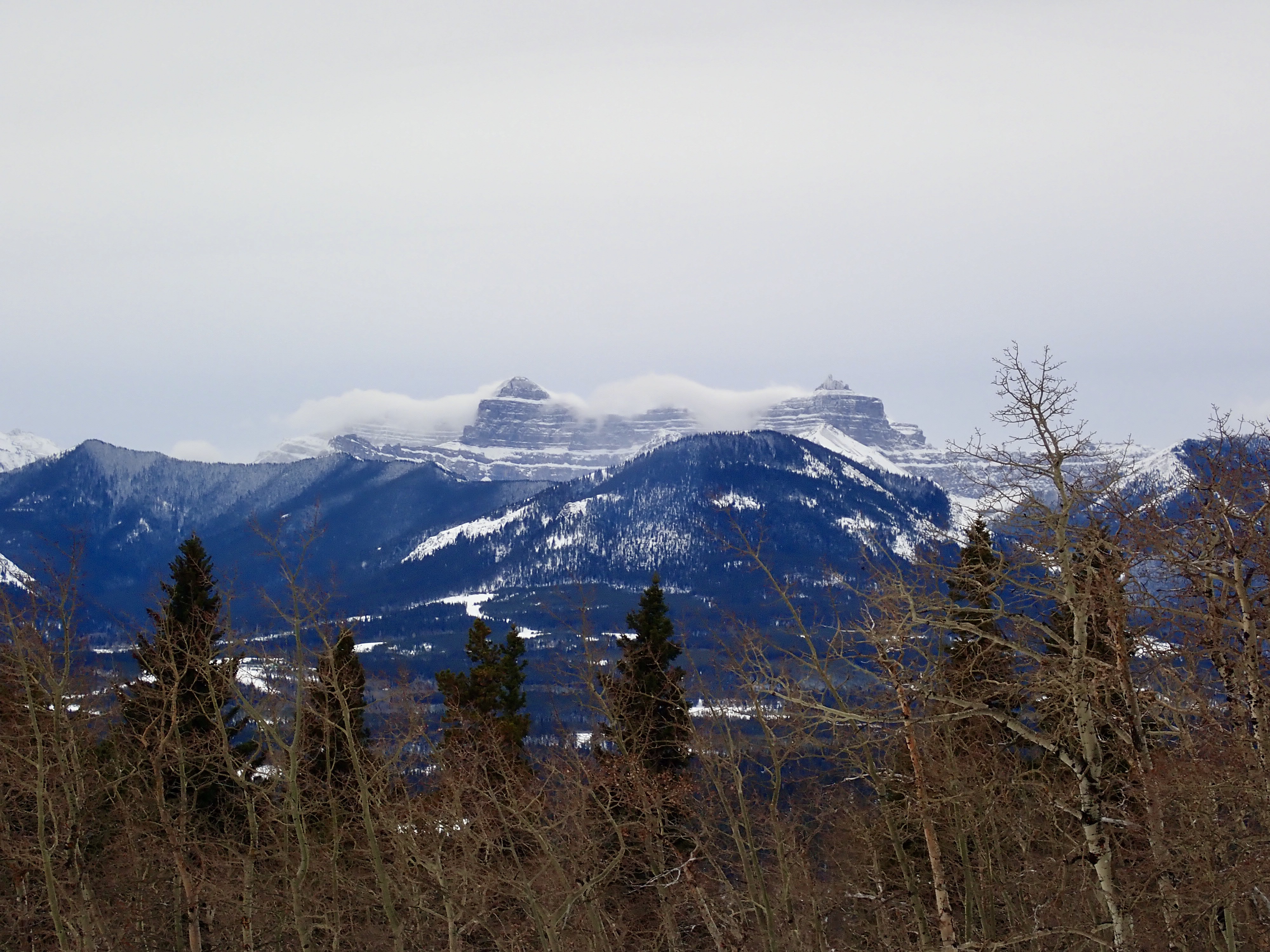
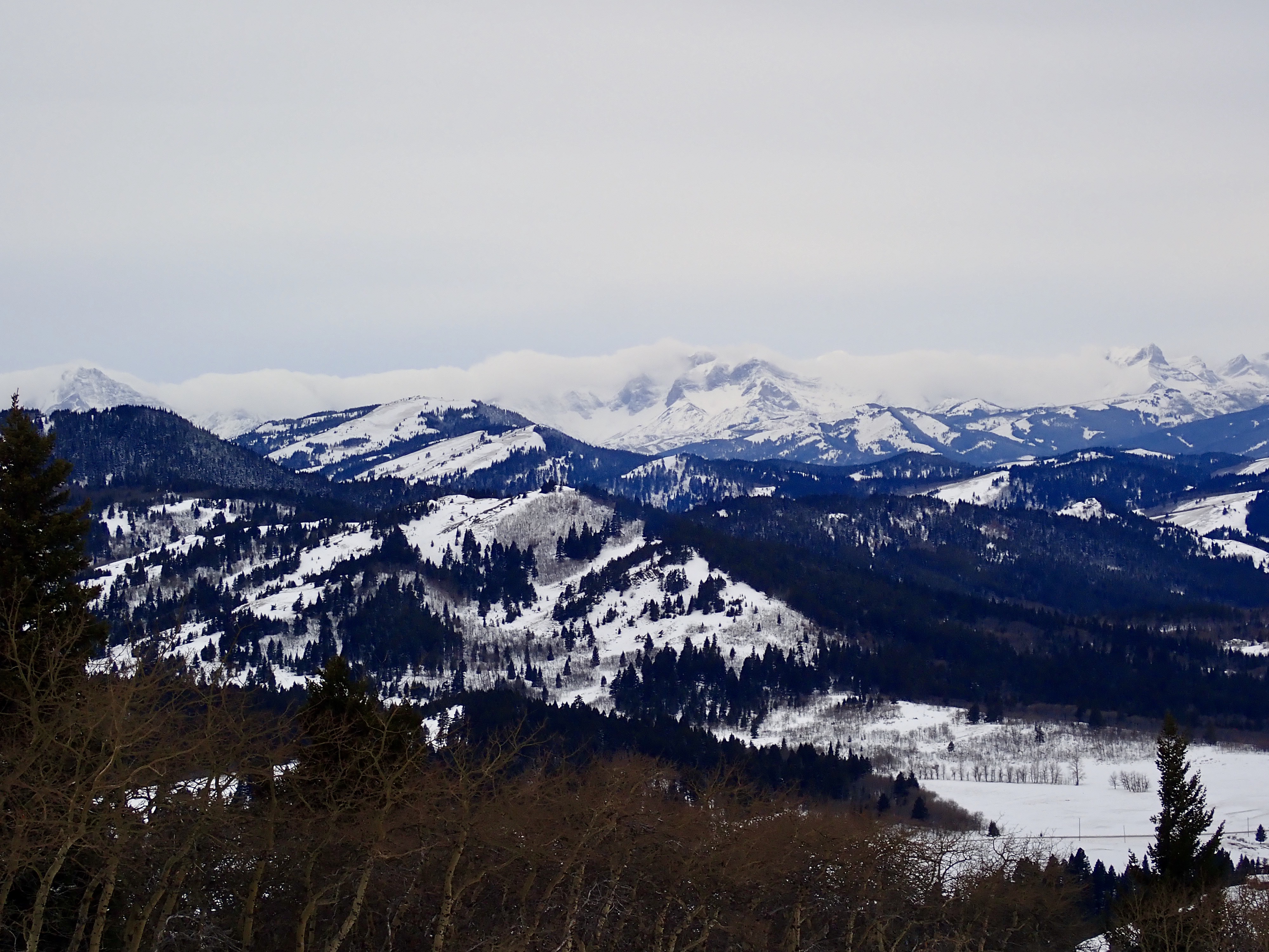
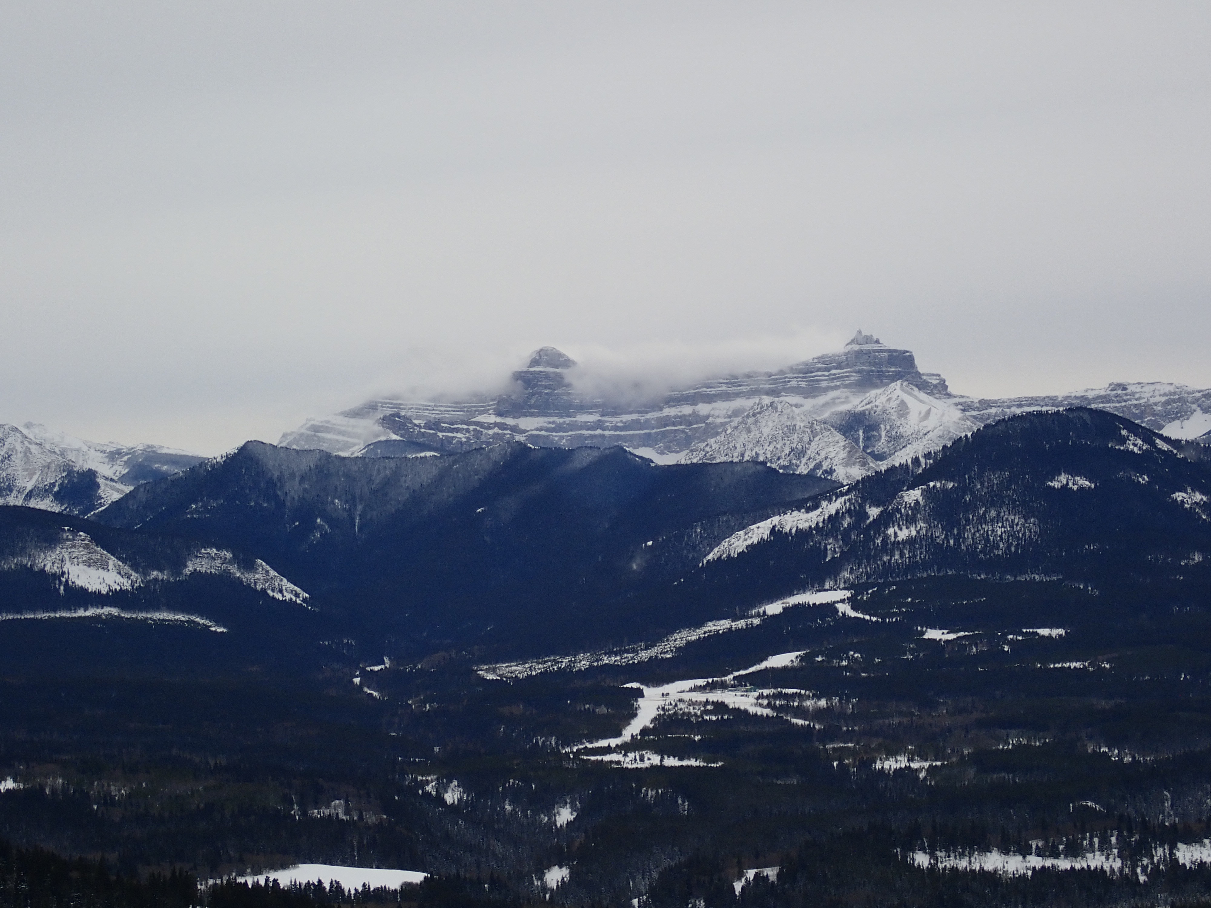
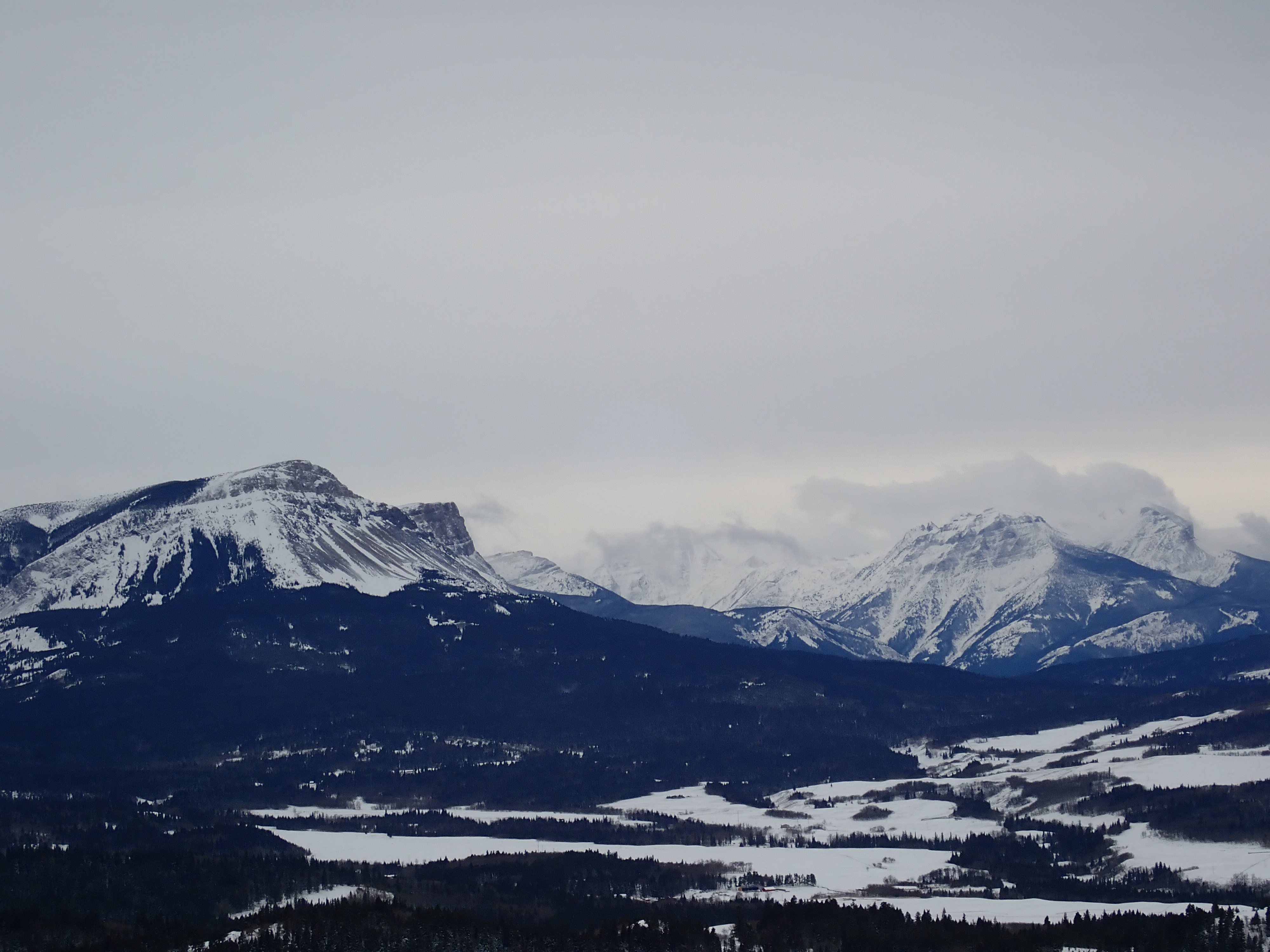
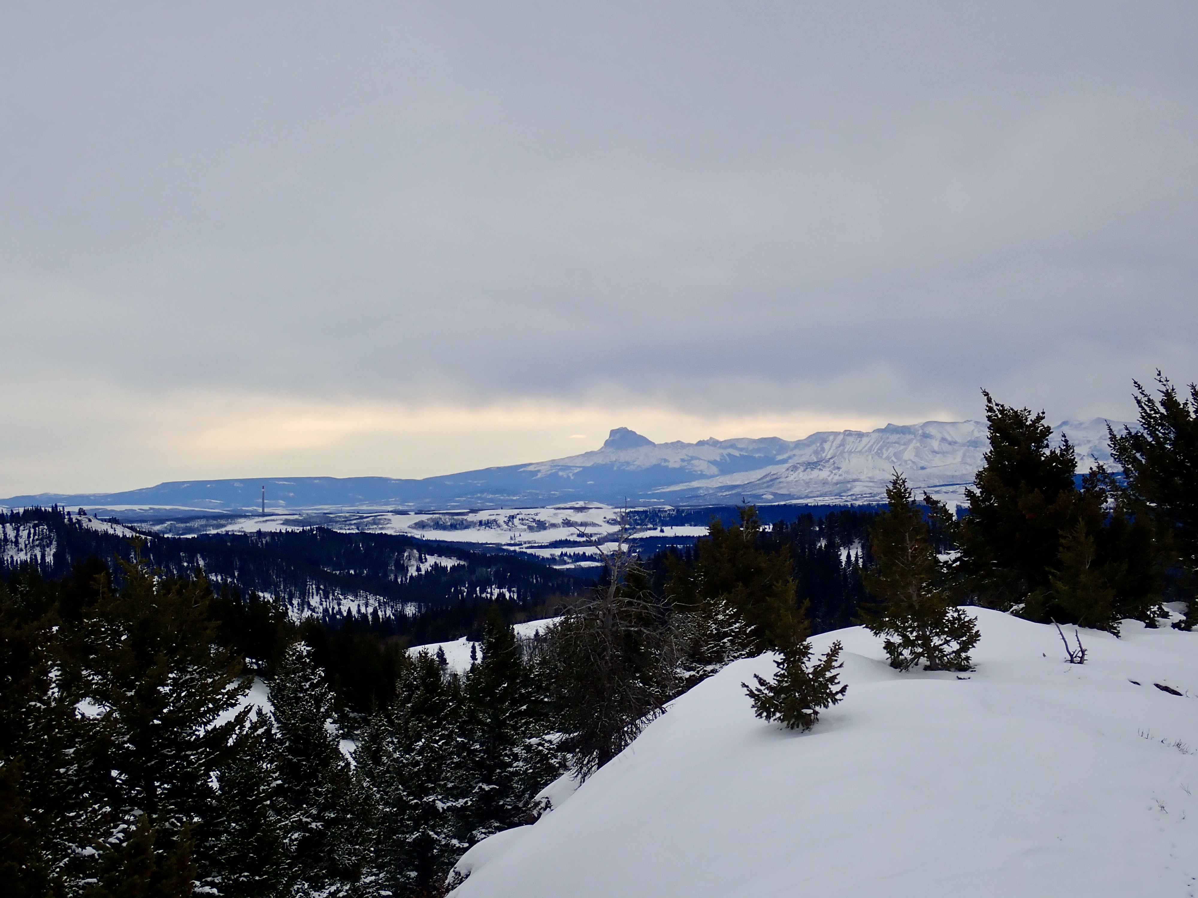
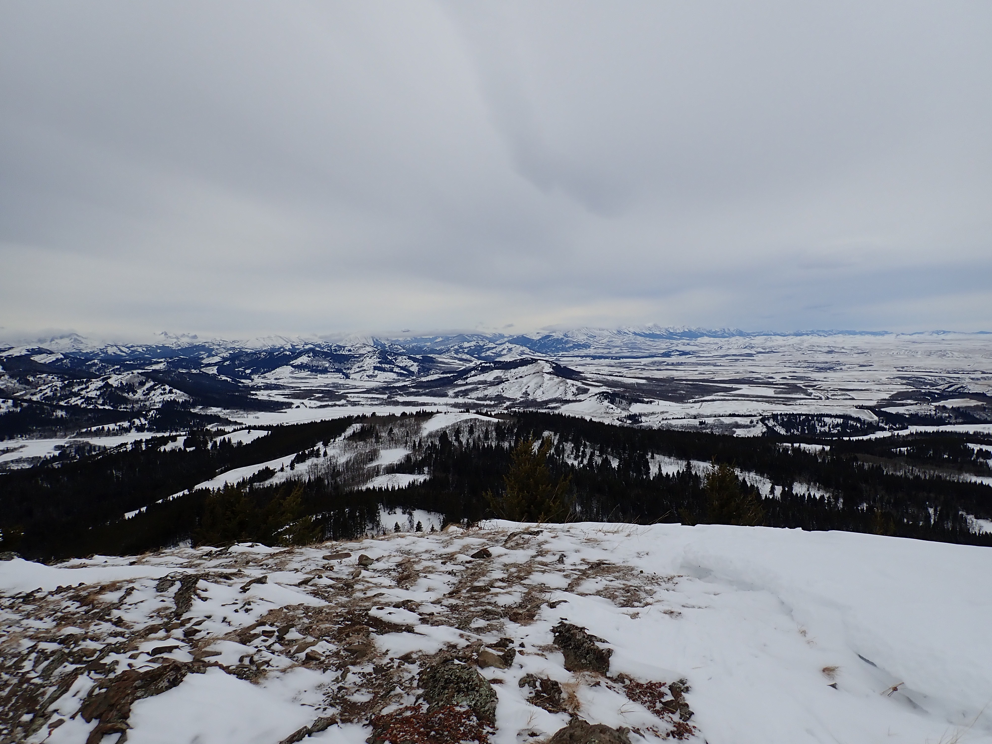
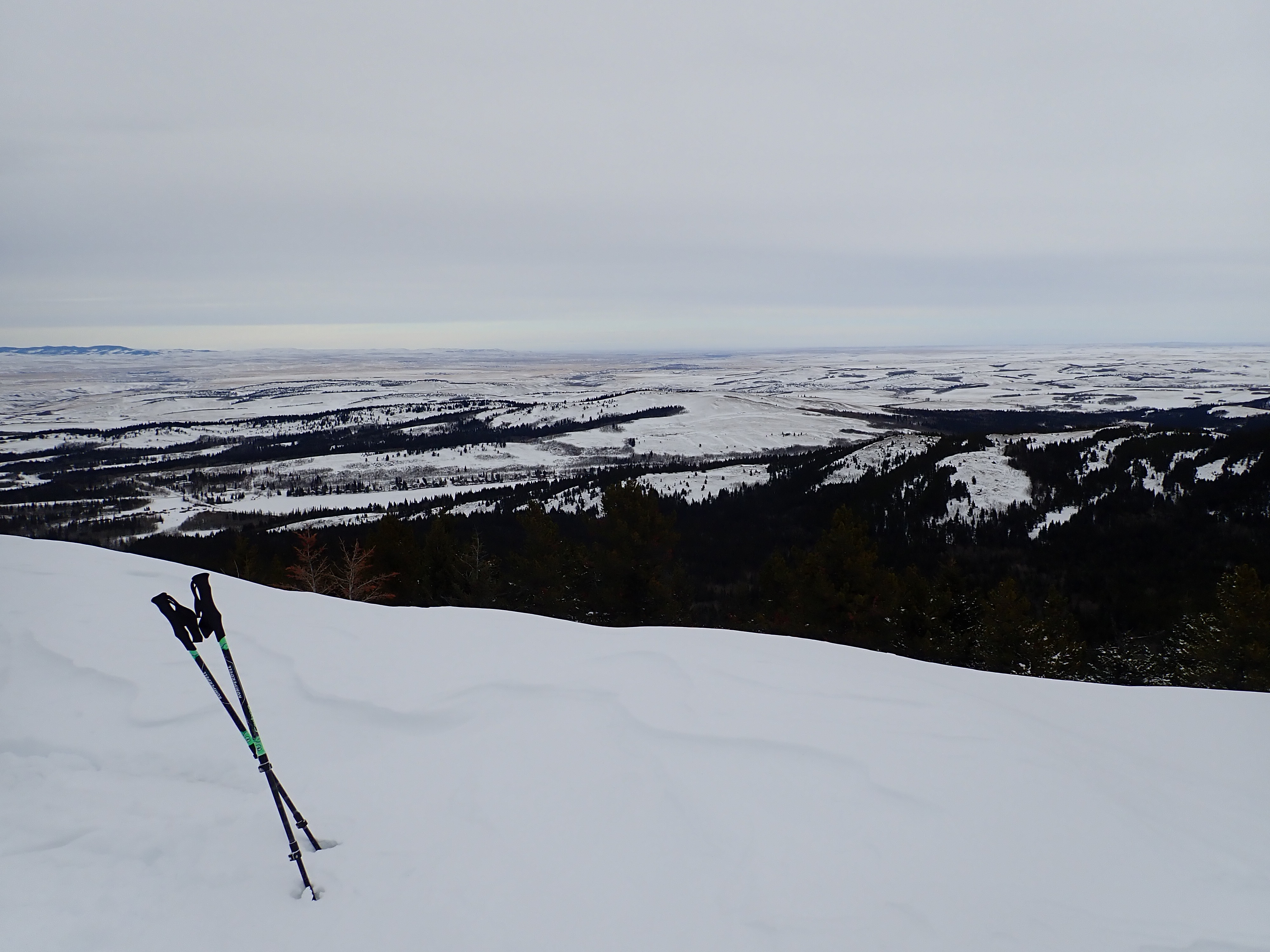
I had been meaning to do this trip for a while, but the weather for the last couple of months wasn’t cooperative. Southern Alberta was either warm and excessively windy, or smothered under snowfall in blizzard conditions. December 10 was a gloomy but calm day, though, and it worked out wonderfully. Beauvais Lake Provincial Park had plenty of soft deep snow along its trails, and though skies were overcast I still got some distant views from the peaks of Mount Baldy and Mount Albert.
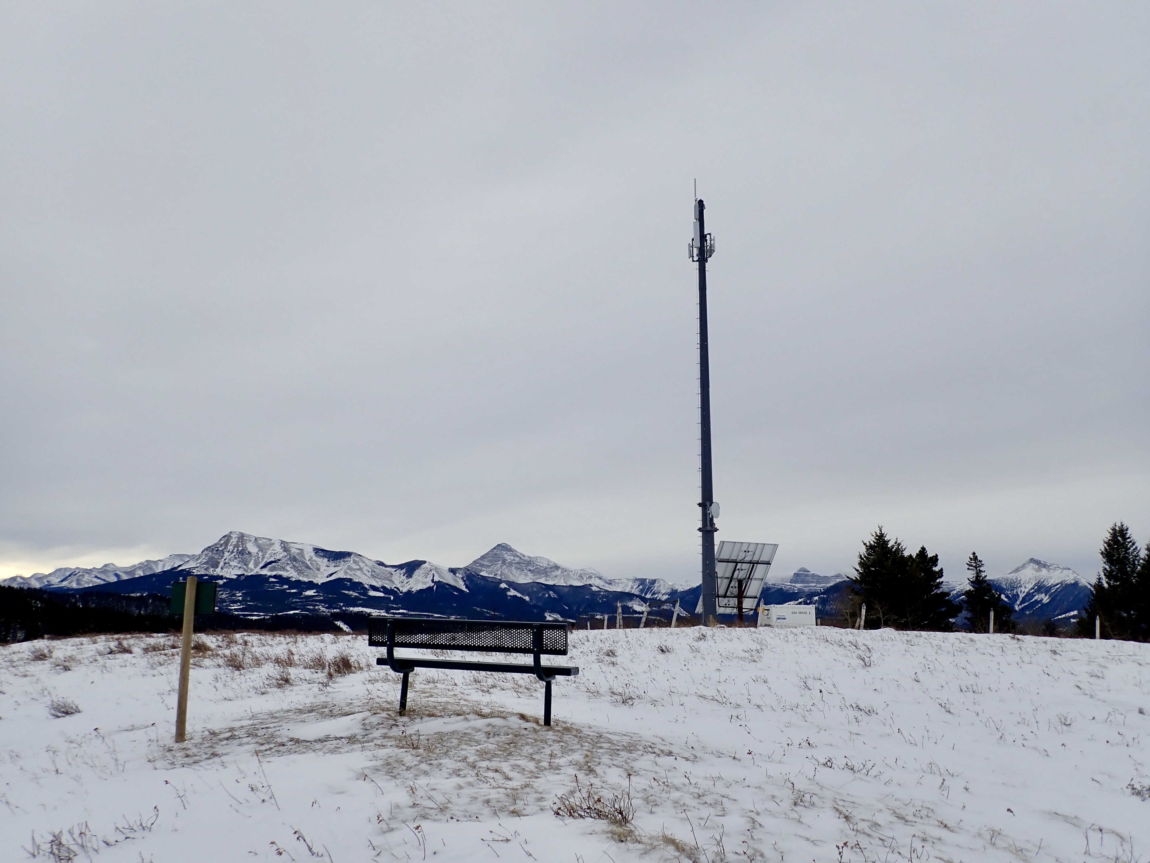
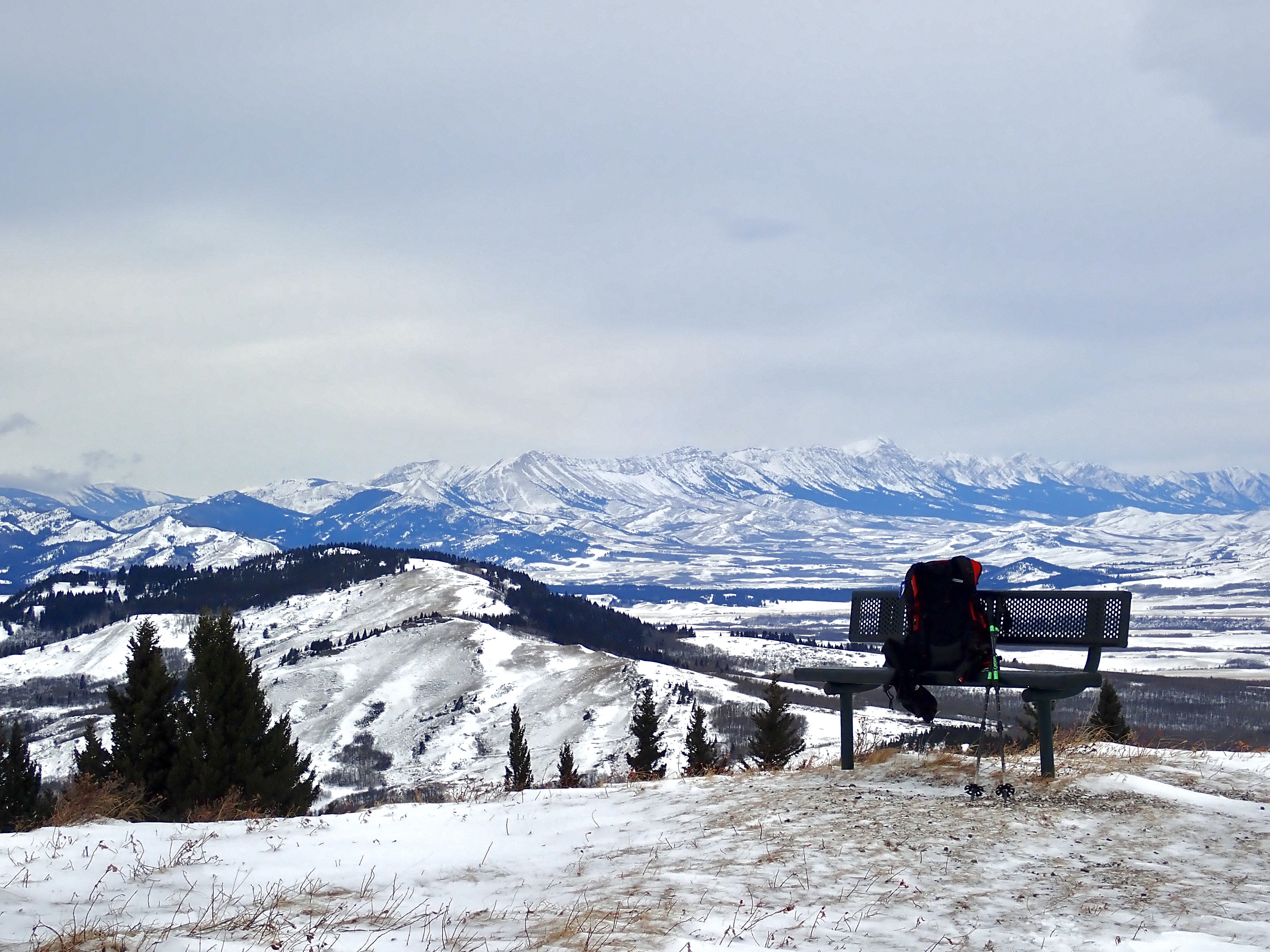
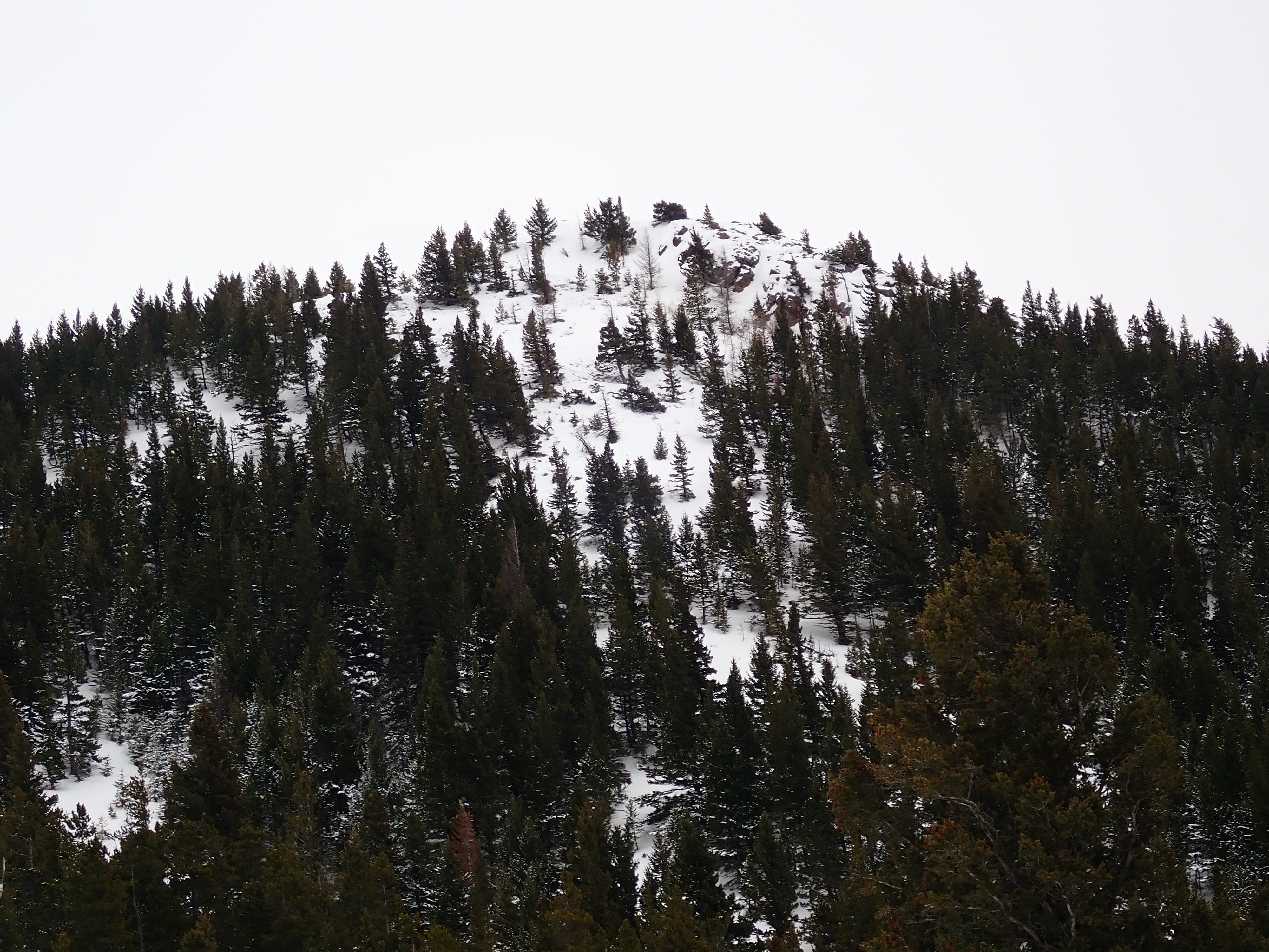
I’ve previously described a loop route up Mount Albert which makes for a great day of snowshoeing (or a shoulder season hike). That trip gave me a good view of the peak of Mount Baldy, a short distance to the north of Mount Albert. Baldy features a telecom tower and a bench at its summit. The views are decent, but not as good as those from Mount Albert. There’s an unofficial route, complete with guide markers on trees, allowing one to traverse from Baldy to the shoulder just below Albert’s peak. This allows for a scenic loop route touching both peaks — ascending on the Mount Baldy Trail and descending on the Mount Albert Trail.
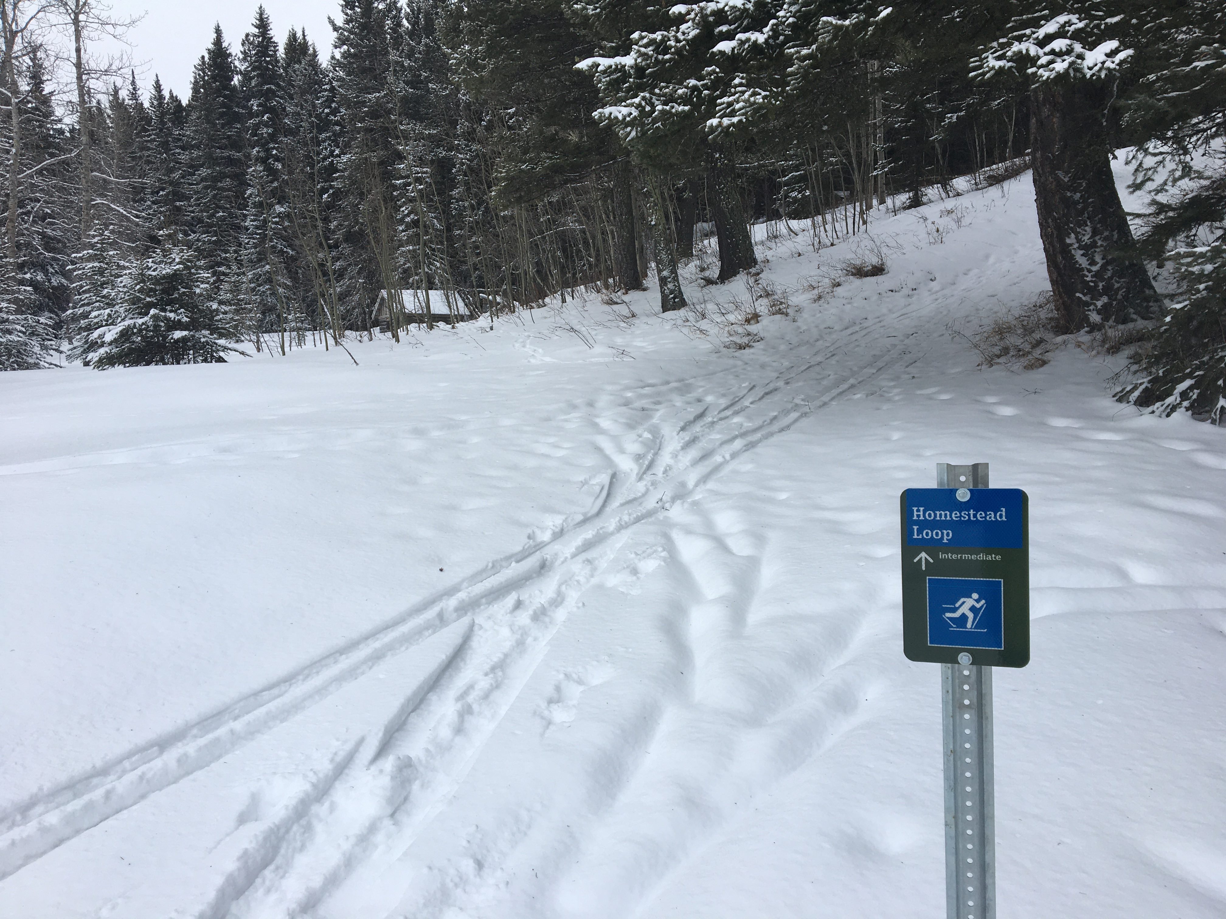
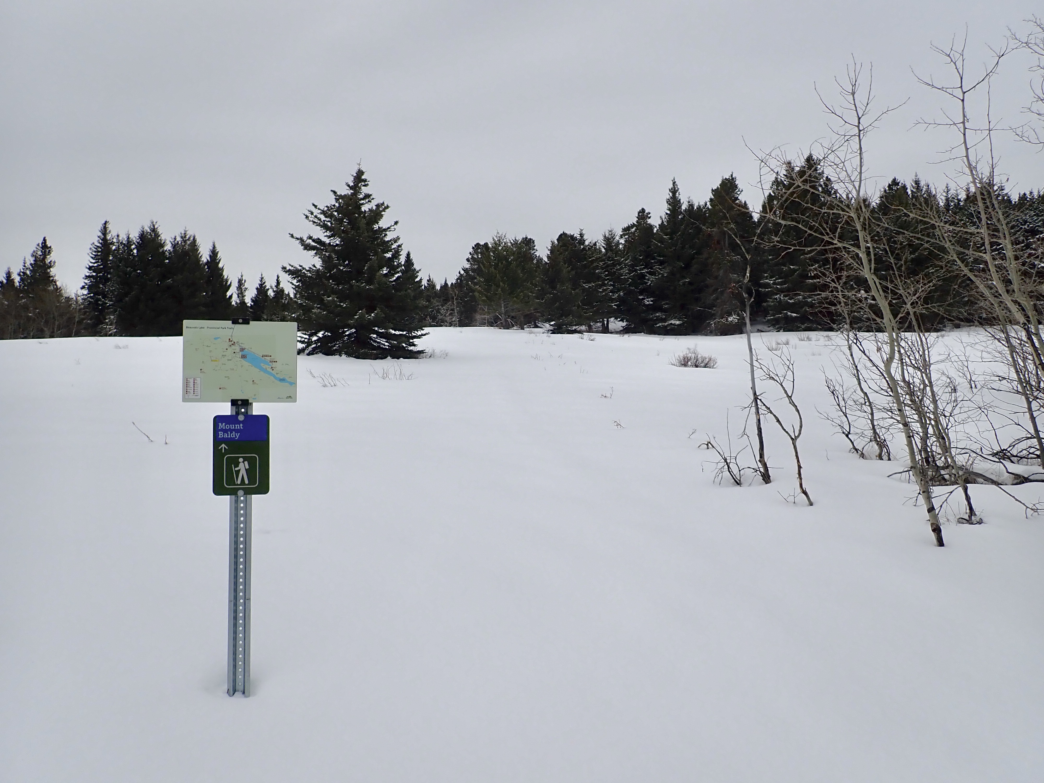
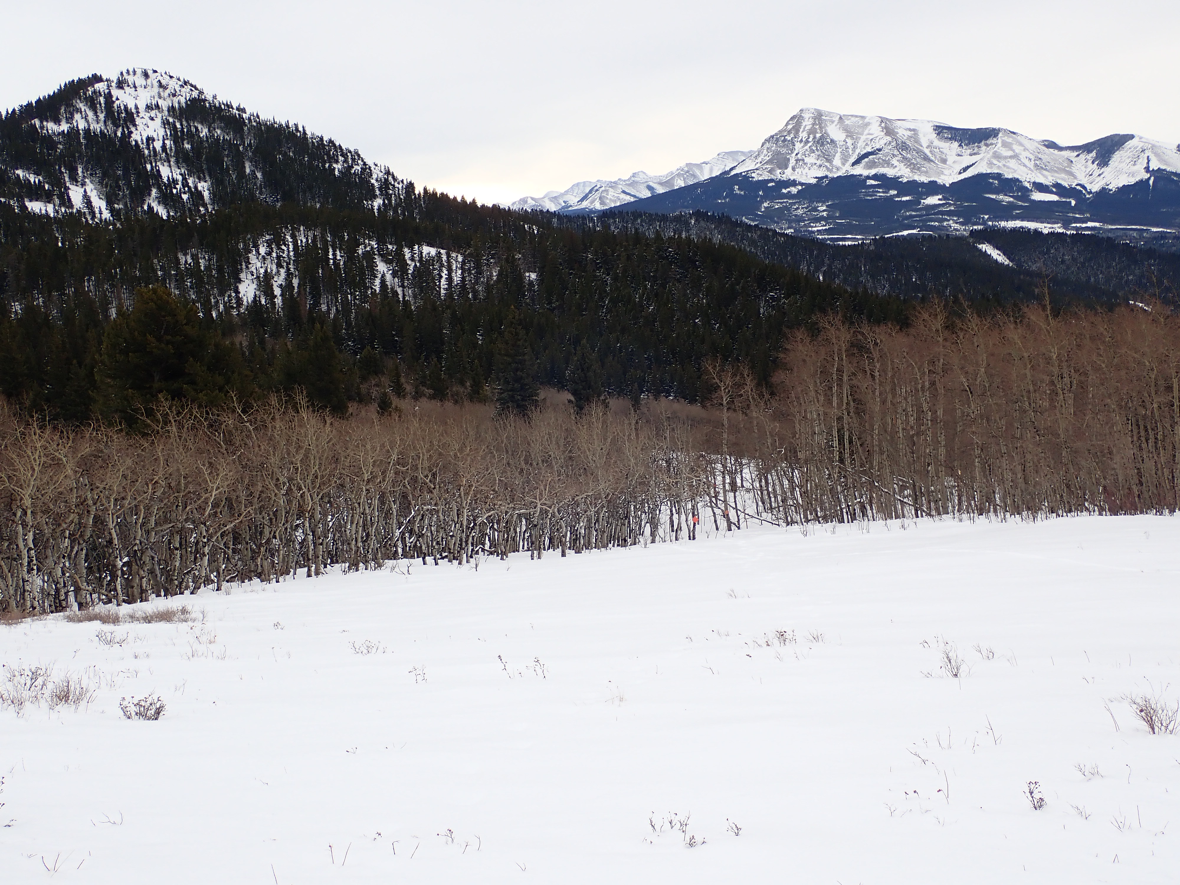
Access to Beauvais Lake Provincial Park is via a turn-off 11km west of Pincher Creek on highway 507. The park gate is about 7 km from the turn-off. This route starts at the Beaver Creek Day Use Area. A trail heads northwest from the parking lot, crossing a small bridge and arriving at a clearing which is the site of the remains of the Lower Smith Homestead. Once there, I got onto the marked Homestead Loop Trail, which ascends and heads south through the trees. About 1km from the parking lot, the trail splits into 3, with the Homestead Loop continuing due west along a wide cutline.
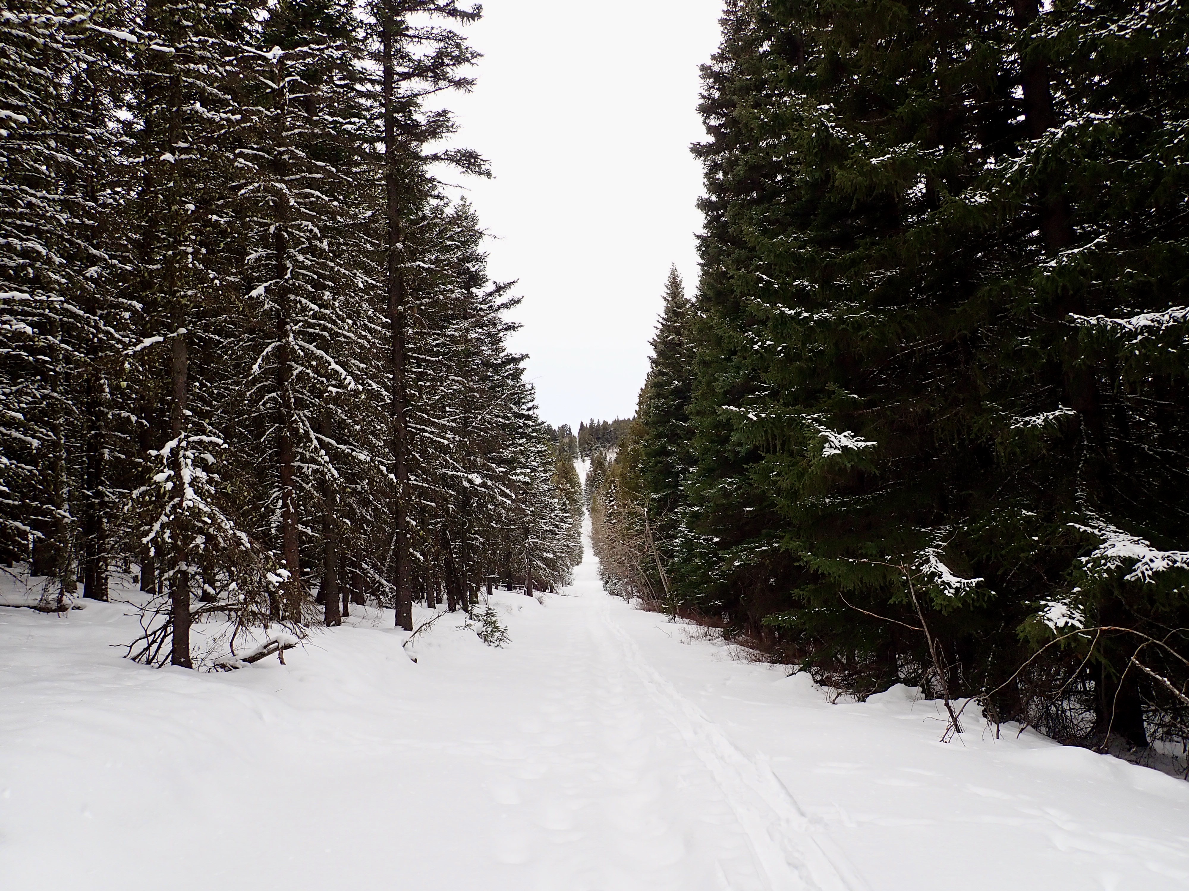
This cutline actually makes a straight line which eventually continues up a slope to the summit of Mount Baldy. The trail doesn’t follow this ascent, though hikers interested in off-trail travel would likely have no problem finding their way along the cutline to the summit (I can’t comment on any terrain challenges or snow hazards that may be involved). I decided to stay on the official trail, which takes a sharp right turn after crossing 2 small bridges and loops around the eastern spur of Mount Baldy before reaching the official ascent trail to the summit. This is a worthwhile route to take because it takes you by the remains of the Upper Smith Homestead.
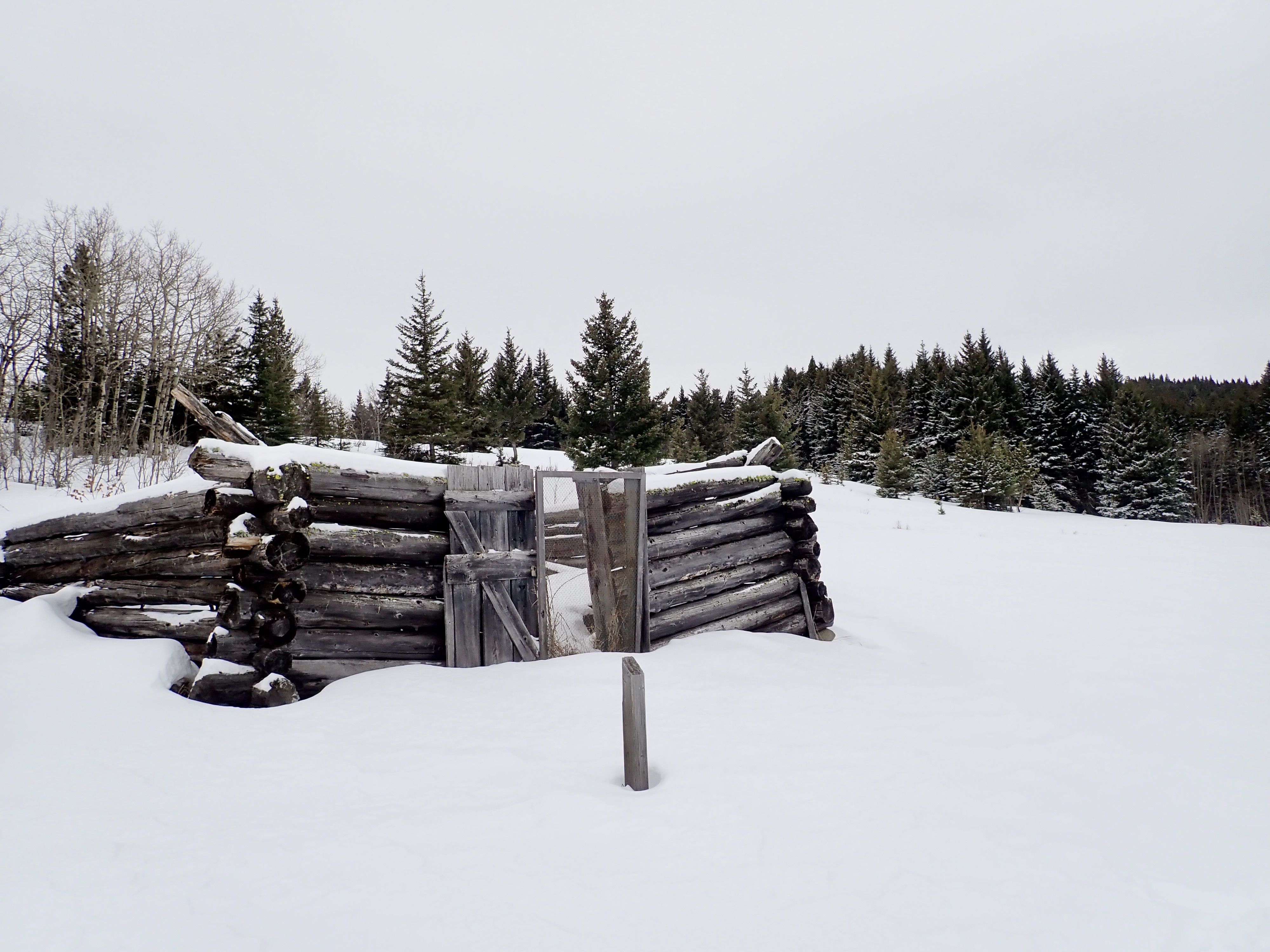
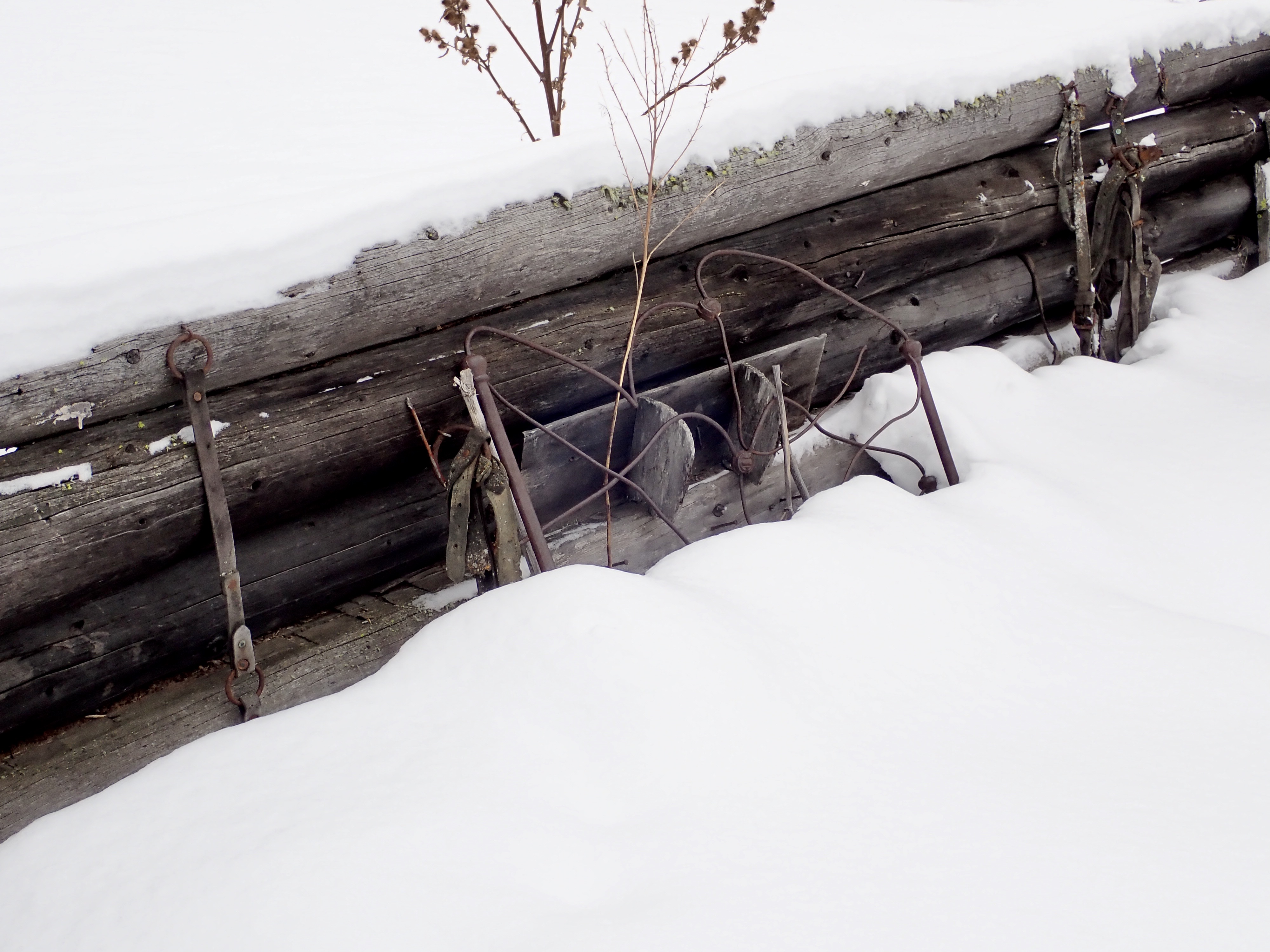
The Upper Smith Homestead is a lonely little ruin a short way east of the Homestead Loop Trail. Parts of all four walls of the log cabin remain standing. Most astonishing are the artifacts that are still inside, including leather belts, tools and a metal bed frame. I haven’t found any information about this site, but I understand that somewhere in the park there are information placards telling the story of the Smiths.
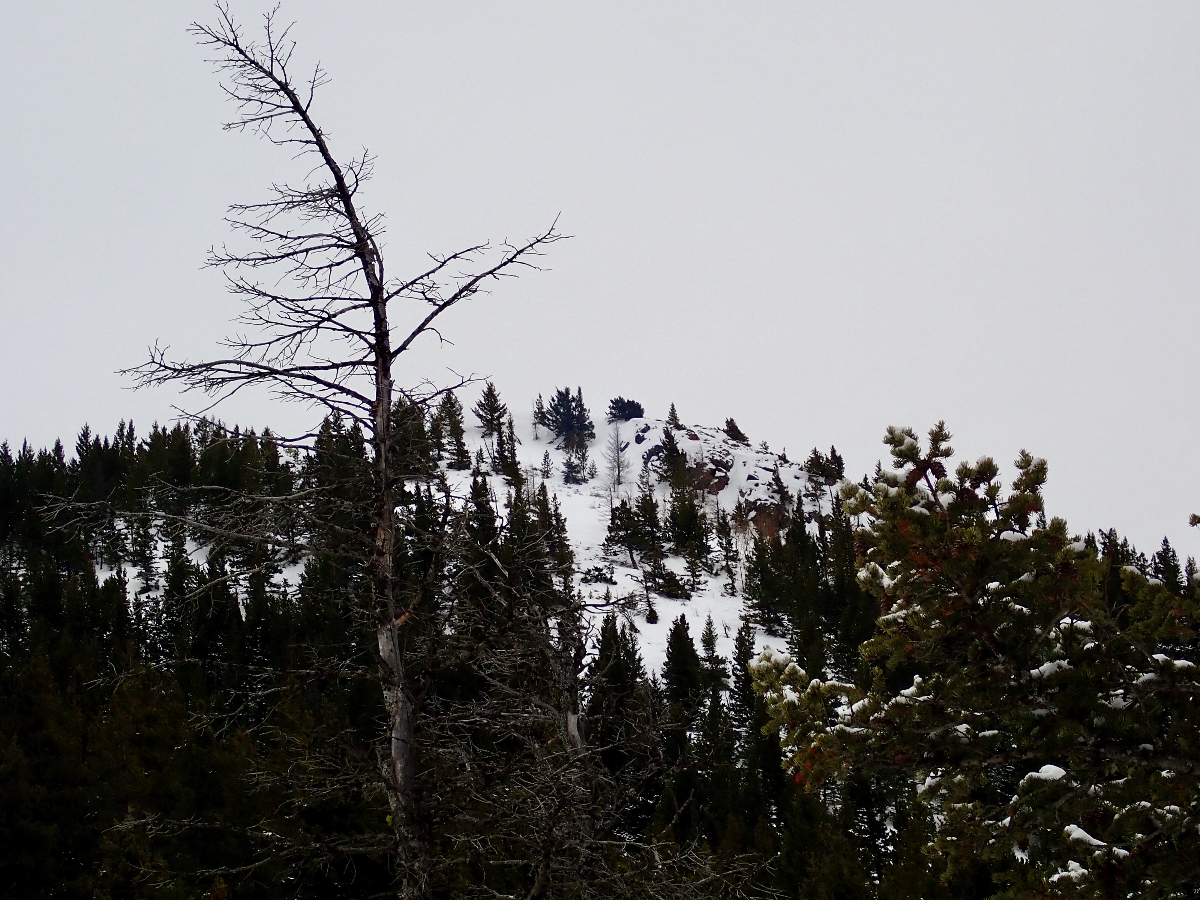
About 400 meters past the turn-off to the homestead there’s a sign pointing the way up the official Mount Baldy trail. The climb is fairly steady and was a decent workout in snowshoes. After a short time the com tower on the summit comes into view, followed by a bench. The summit of Baldy is clear of trees, and the views are decent, though obviously inferior to what can be seen from the taller Mount Albert. The trail connecting the two is probably an evident footpath when there’s no snow on the ground, but someone has also put markers on trees along the way so you can follow the path in the winter.
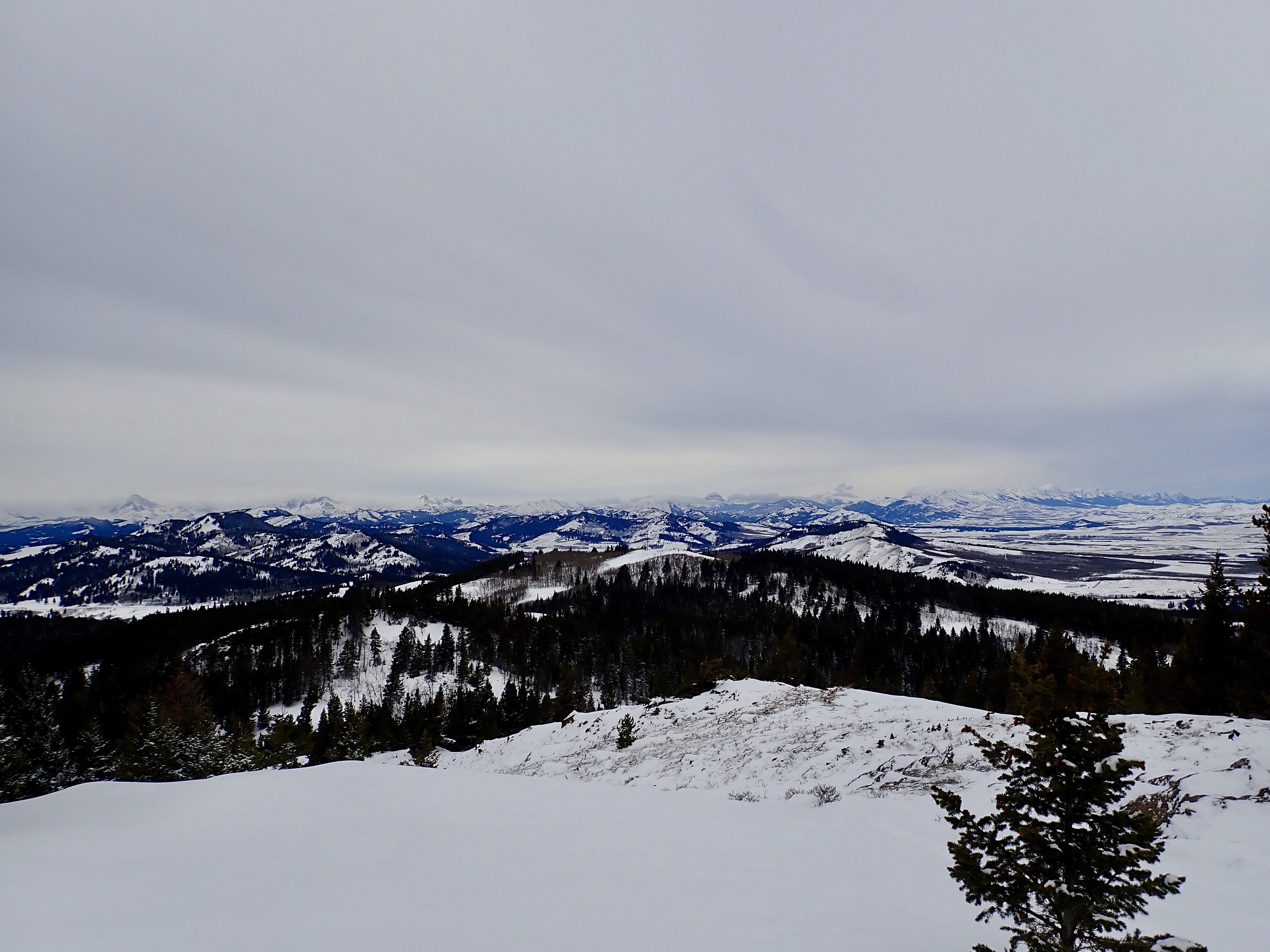
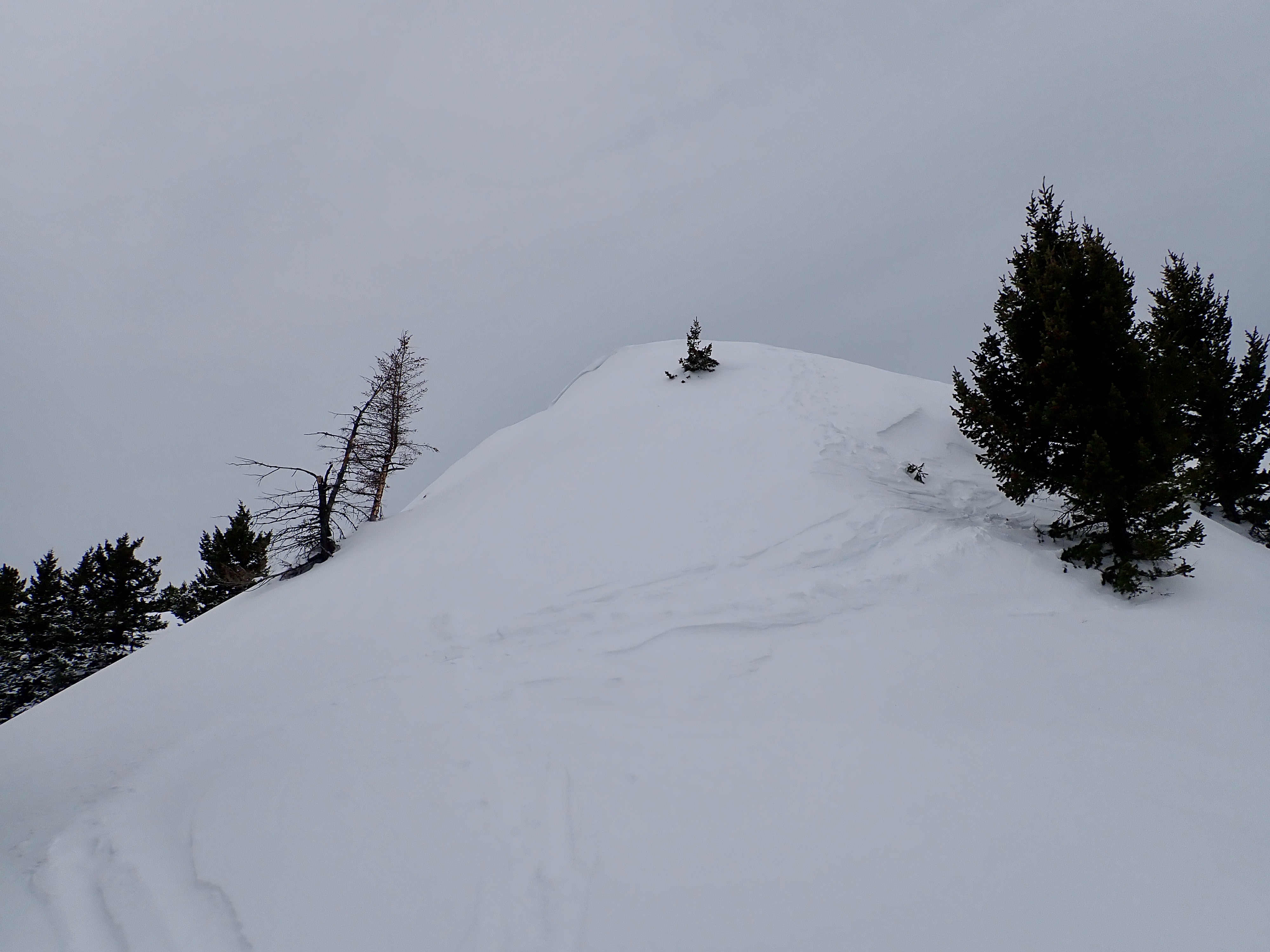
Getting to the summit of Mount Albert involves some steeper climbing, and I was dealing with some deep snow which added to the challenge. Once on top, I enjoyed the excellent views in all directions before descending along the official Mount Albert Backcountry Trail (my ascent route from the prior trip).
Click on the pictures in the gallery below for full-sized images.


Very beautiful views of the mountains from top, Par.
Is there cellphone signal?
Thanks for sharing.
Bal Boora
LikeLike