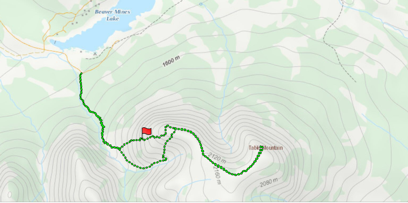
June 4, 2019. A straight-forward scramble to the summit of one of the gems of Castle Provincial Park.
- Distance: 11 km
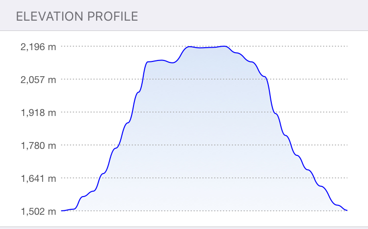
- Total Ascent: 877 m
- Elevation of Objective: 2225 m
- Hiking Time: 4h 3m round-trip
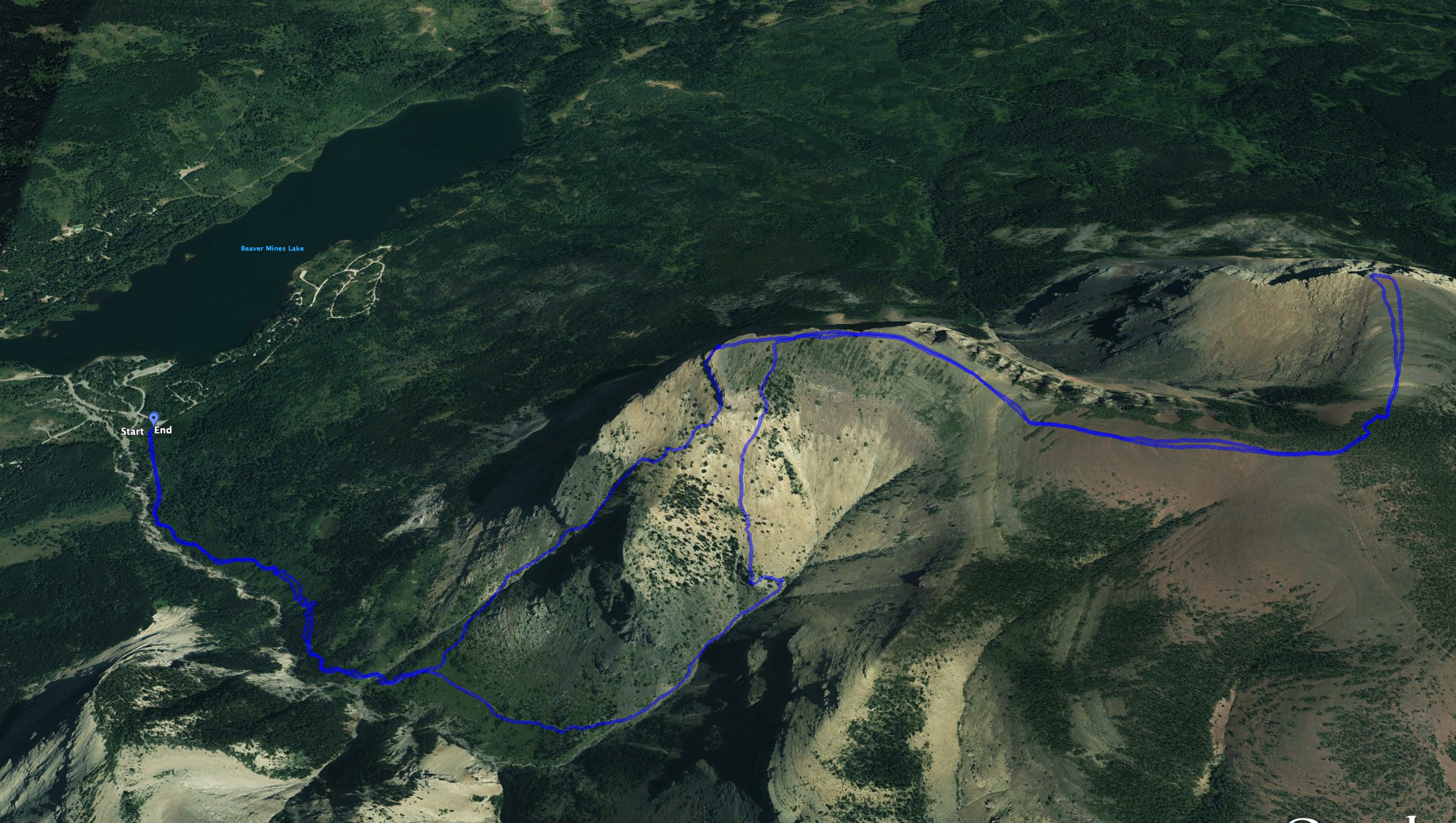
Two years ago I climbed the usual on-trail route to the summit of Table Mountain. That trail is varied and steep, and has a couple of sections which may qualify as scrambling. The full trail report is here. There is, however, another route to the mountain’s plateau. It’s off the main trail, not too difficult and more of a “true” scramble. Nugara describes it in More Scrambles in the Canadian Rockies. I decided to give it a shot today.
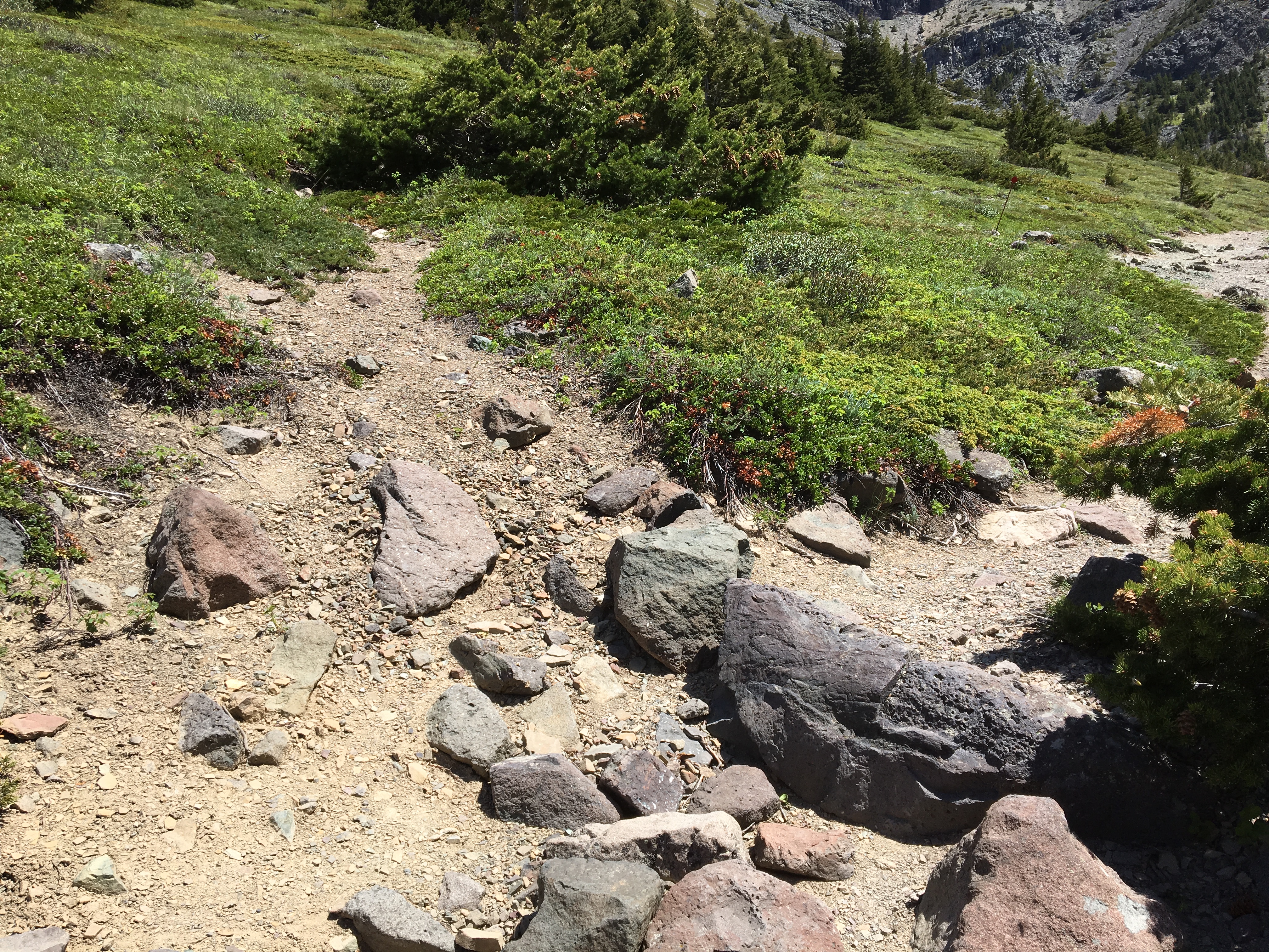
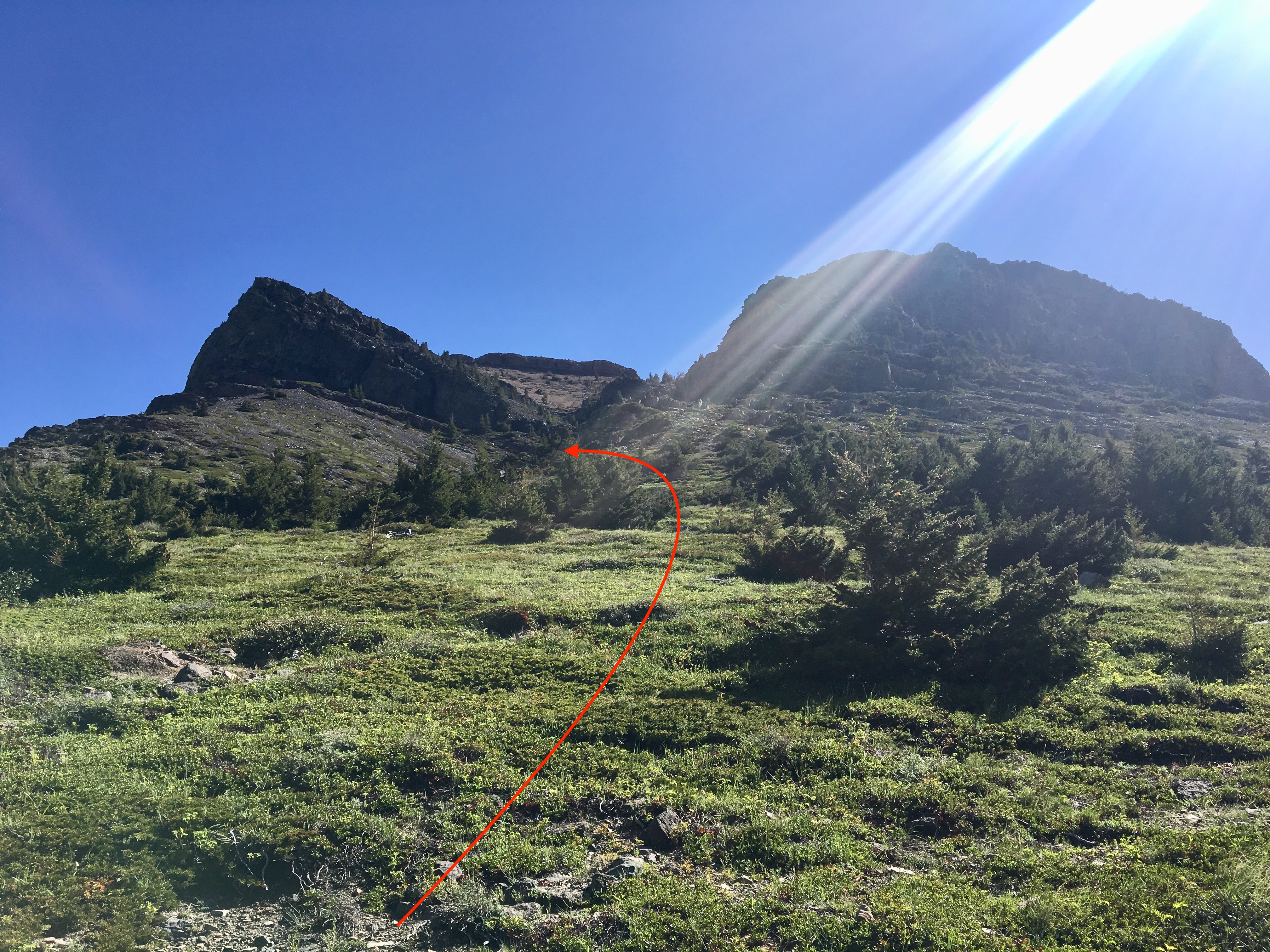
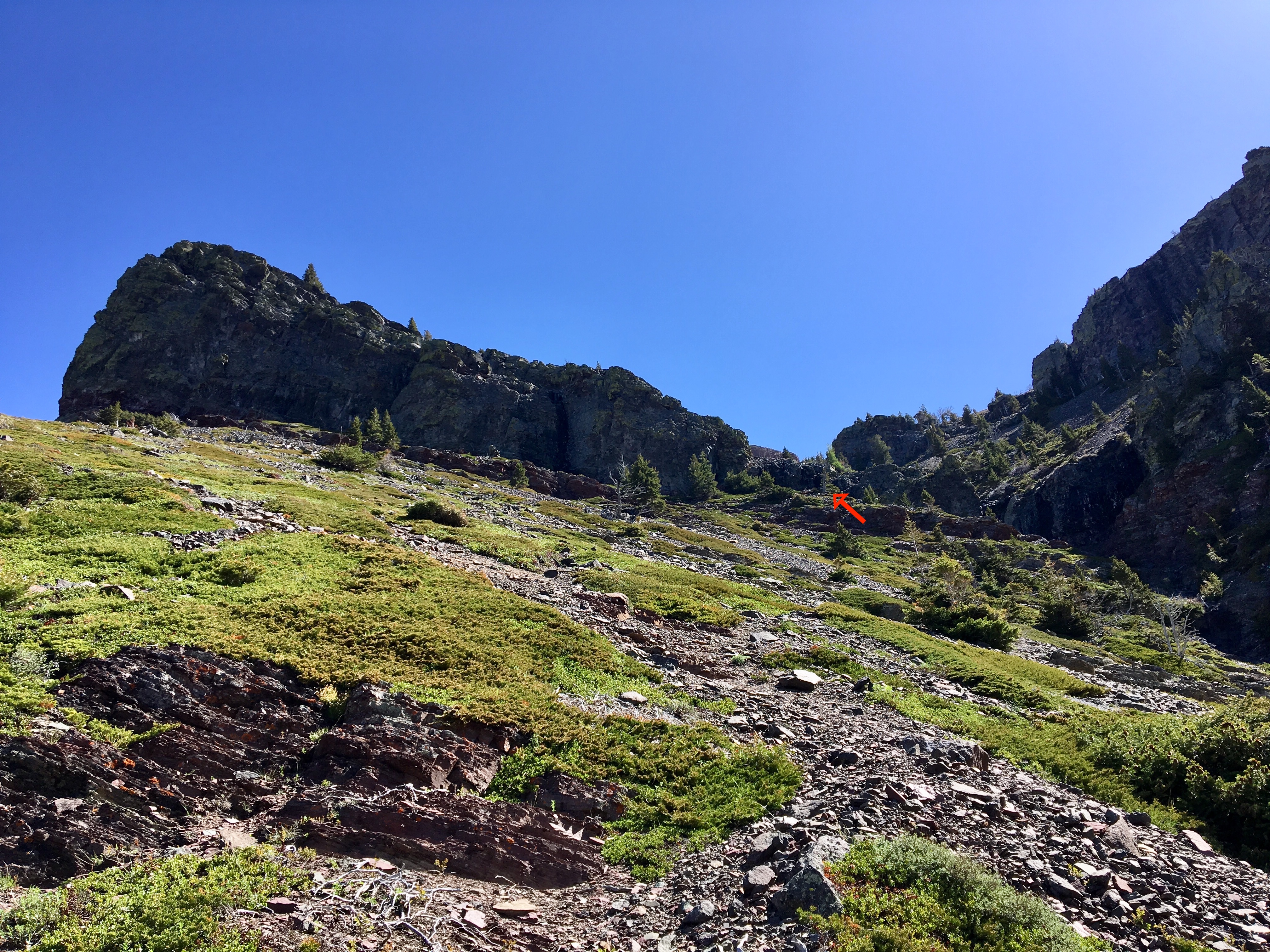
Trail access is unchanged from my prior report. The scrambling route starts off following the usual trail through the low-lying forest. As the trail ascends onto clearer slopes, a clear view of open slopes heading towards two large rocky outliers appears. When the main hiking trail veers right to a gently climbing traverse, there’s some conspicuously arranged rock steps with a faint trail heading straight up towards the gully between the outliers. I set off in this direction, aiming towards the centre of the gully.
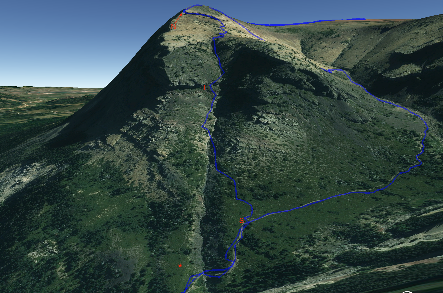
The faint trail doesn’t actually continue on towards the gully, but it’s easy enough to see where to go and the terrain isn’t difficult. In retrospect, looking at Google Earth, if I’d been on the lookout there is a pretty conspicuous trail that heads up the scrambling route which departs the main trail a short distance before my departure point. I’ll point it out in the pictures below.
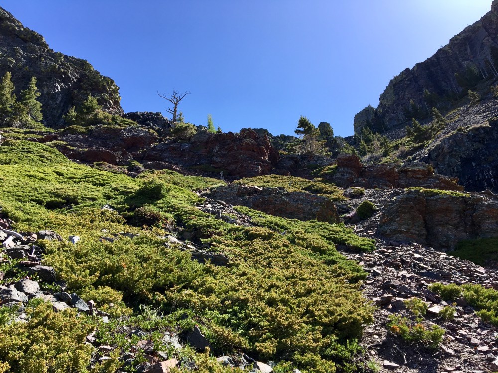
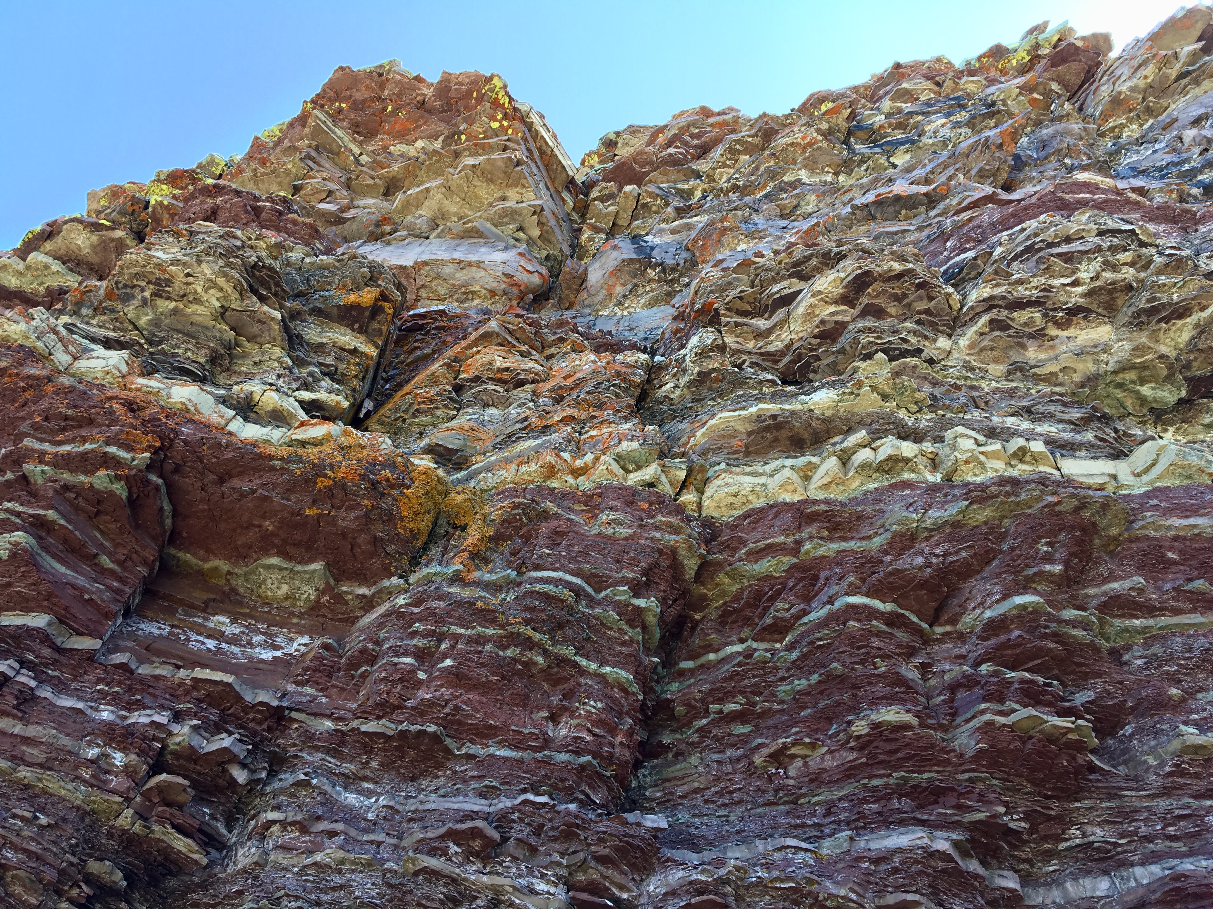
Once heading uphill, I angled leftwards and eventually crossed over to the left side of the creek bed at the bottom of the gully. From there I ascended, following the creek bed. Sometimes it was easier to be off to the left slightly, but eventually there was minimal debris and deadfall in the creek bed, so I climbed directly up its solid black rock. I did discover this rock was very slippery when wet.
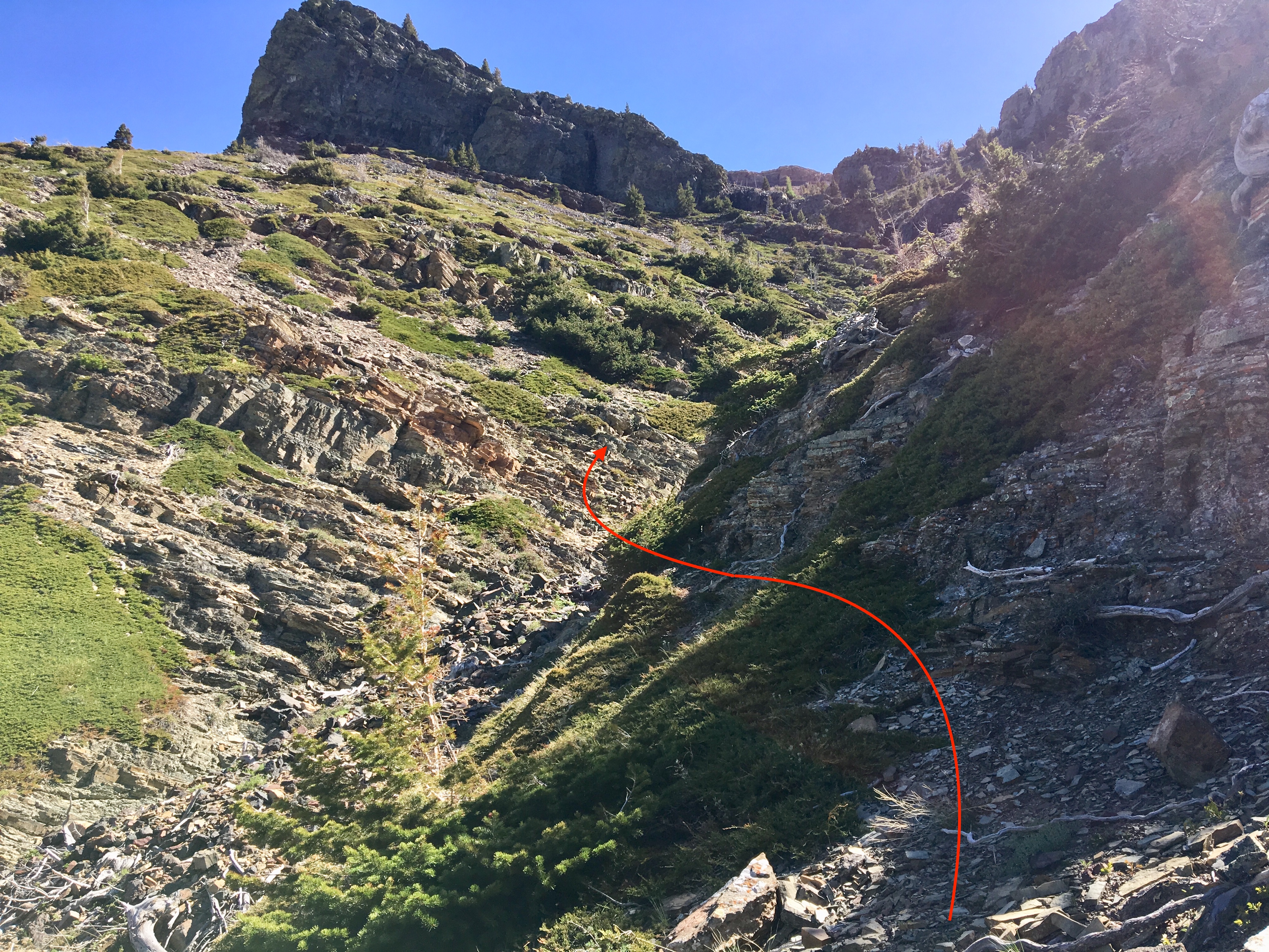
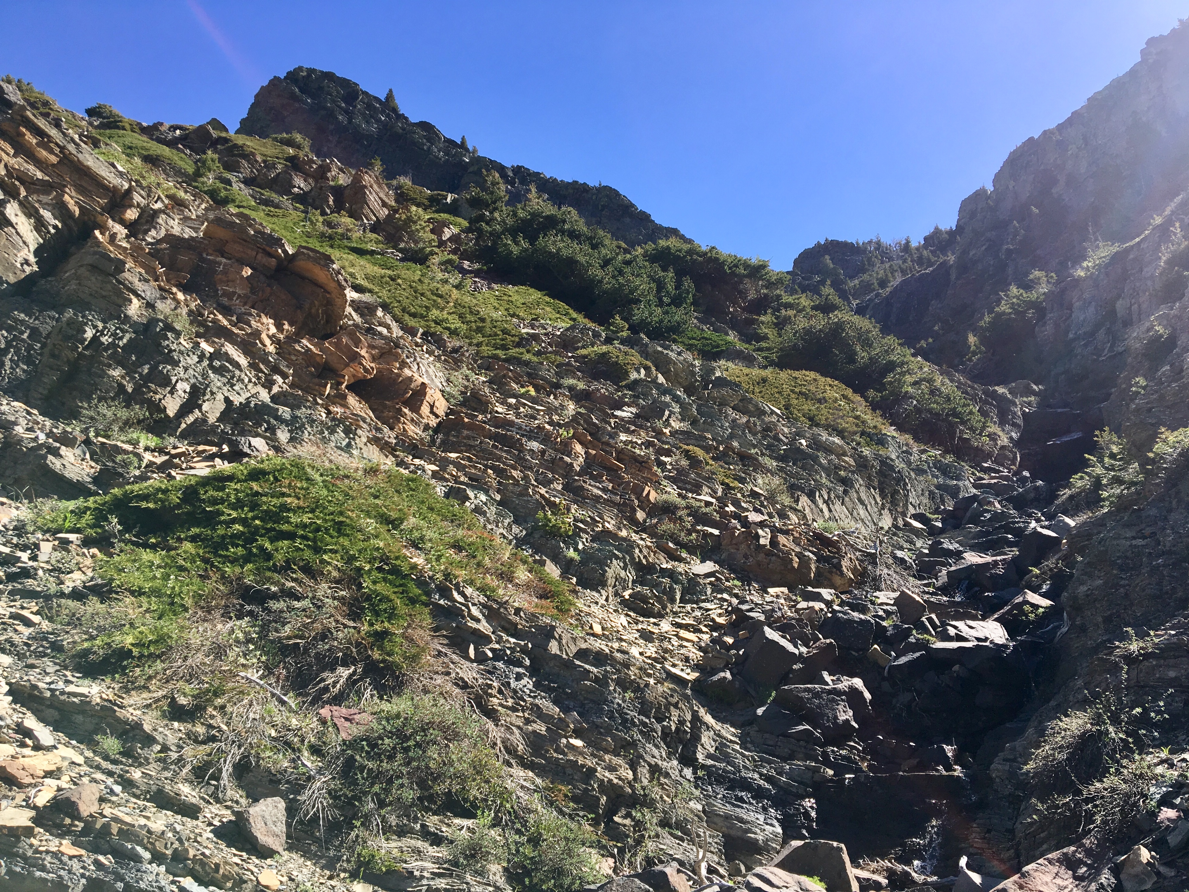
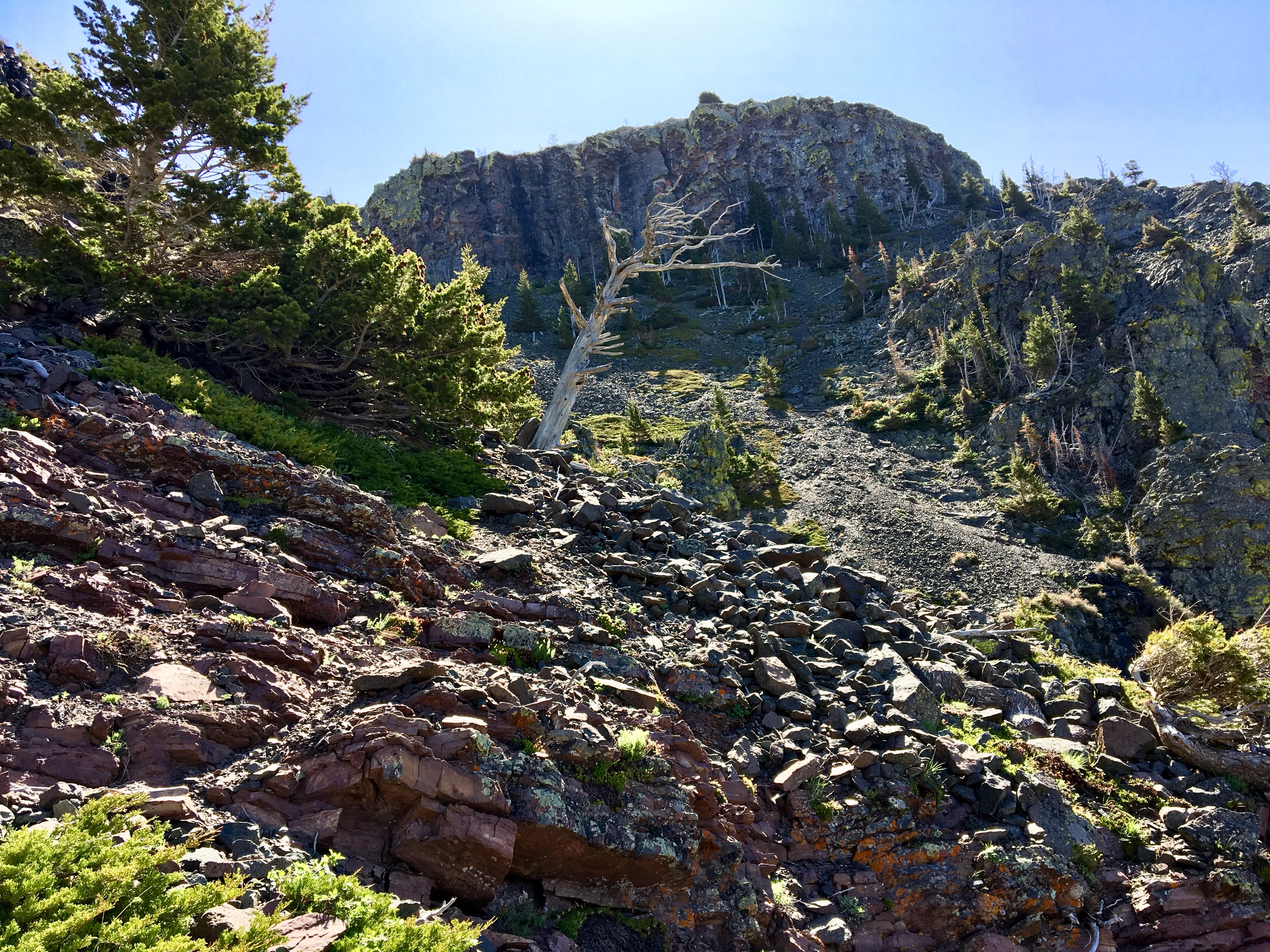
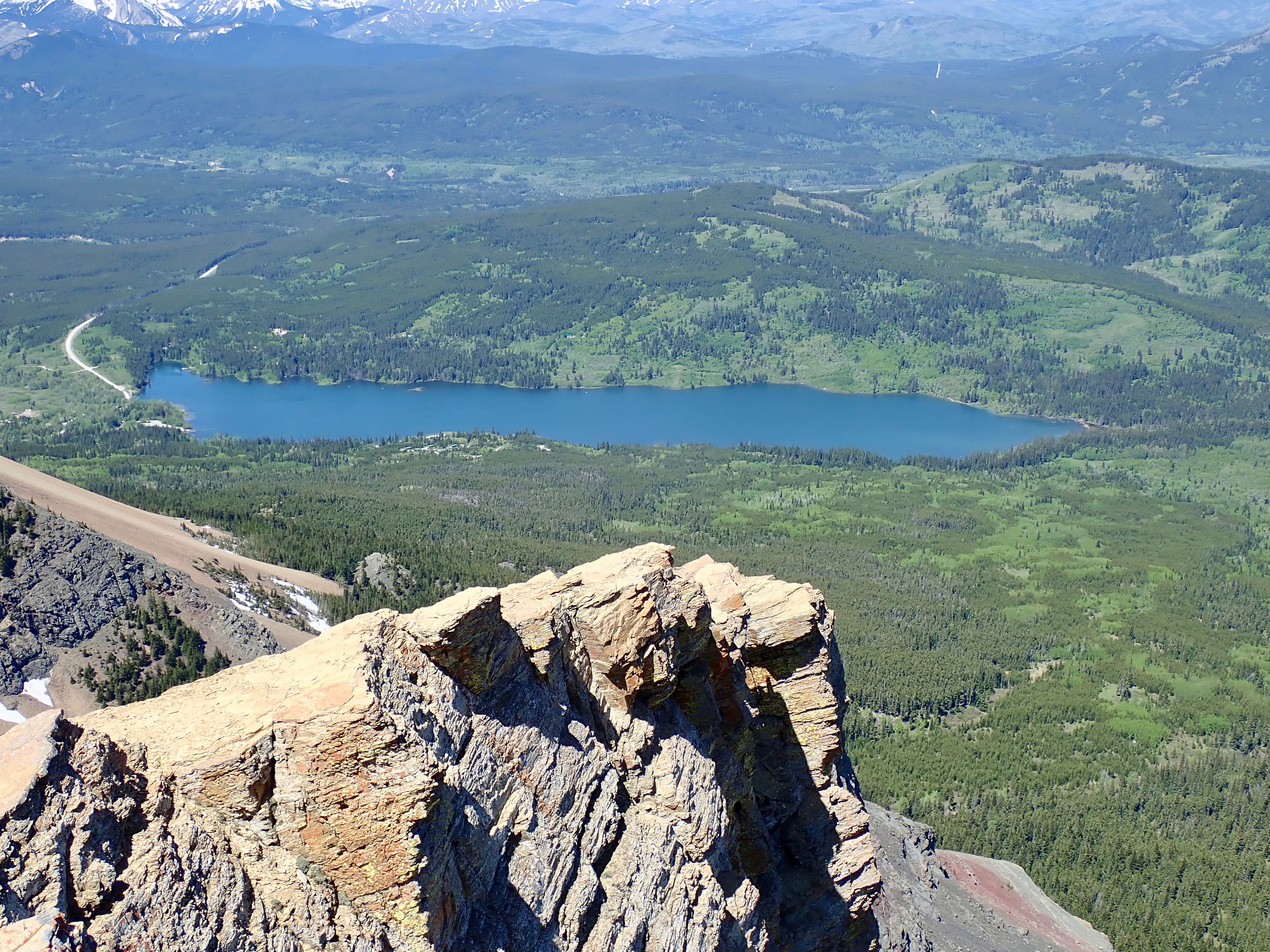
Eventually, I could see a low rock band marked with orange lichen. It had a rather distinctive dead tree atop it. I headed directly up to it. Negotiating the rock band required no difficult maneuvers and I continued to the tree. Beyond that point, the route went slightly to the right and then continued up the gully. The red and yellow rock of the cliffs below the western plateau were clearly in view by this point. Beyond one more low band of black rock, the route continued up onto a scree field. I continued upwards, and the easiest climbing took me slightly right. On the cliff ahead, there was an obvious notch towards the left side, marking a weakness that could be easily scrambled. I reached the cliff, turned left and walked to the notch. The final climb up the notch was a fun bit of scrambling which deposited me up on the plateau of Table Mountain.
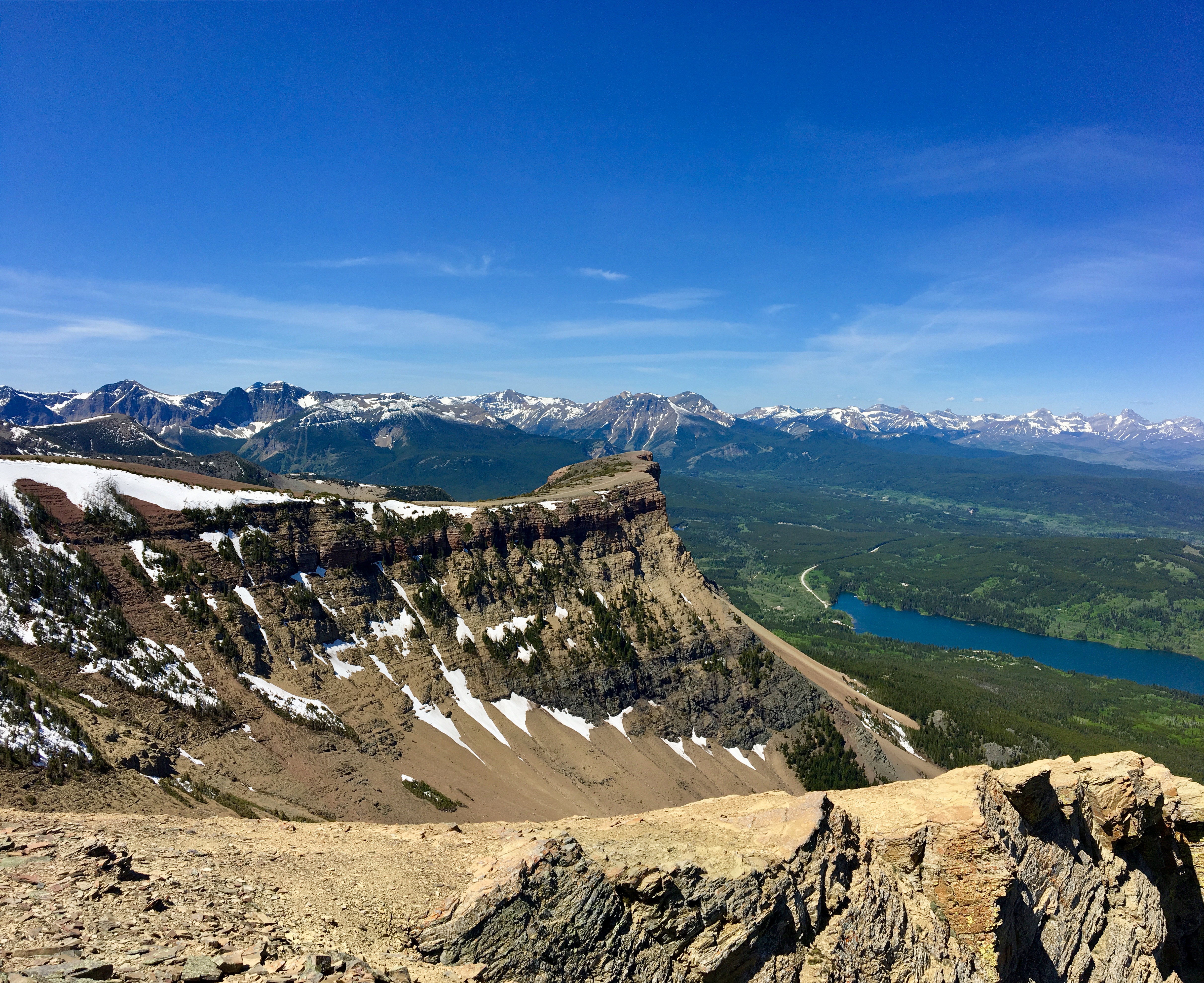
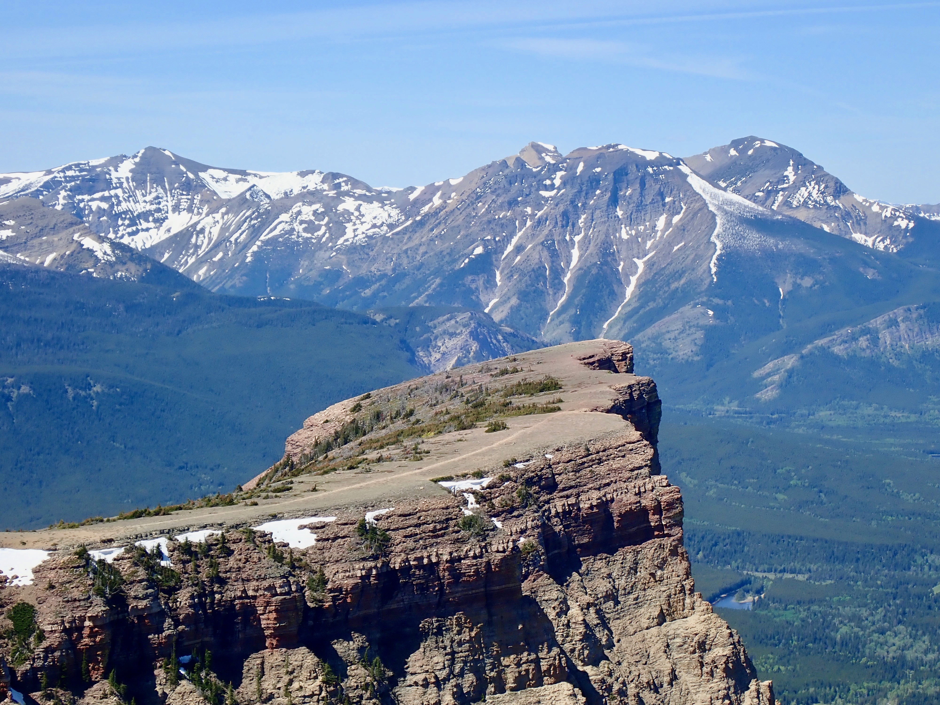
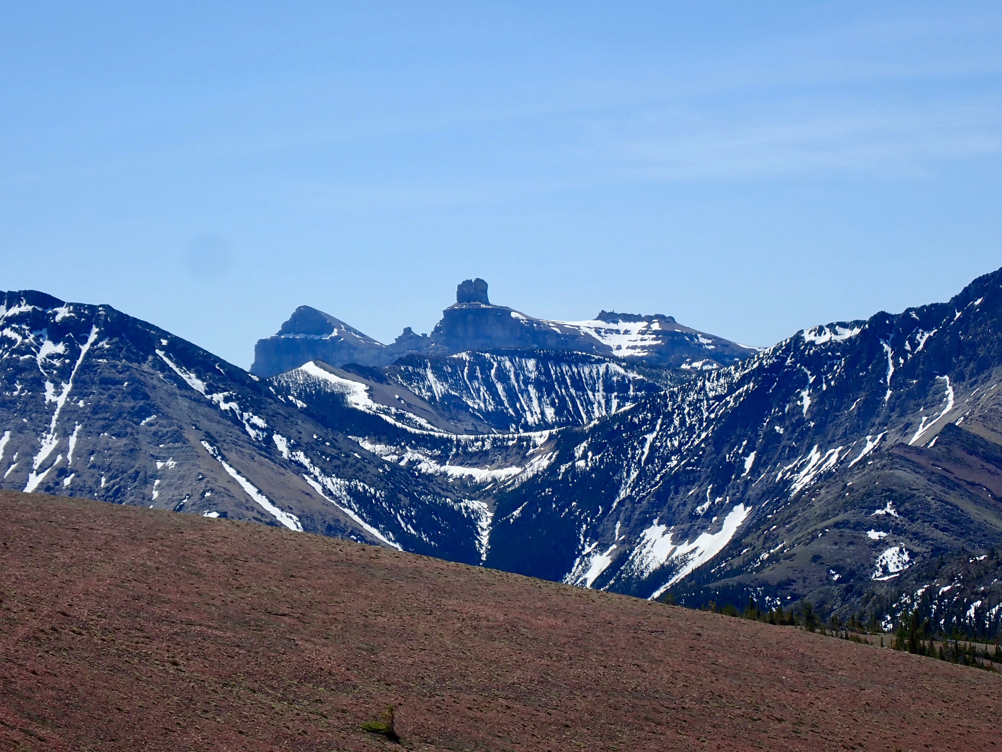
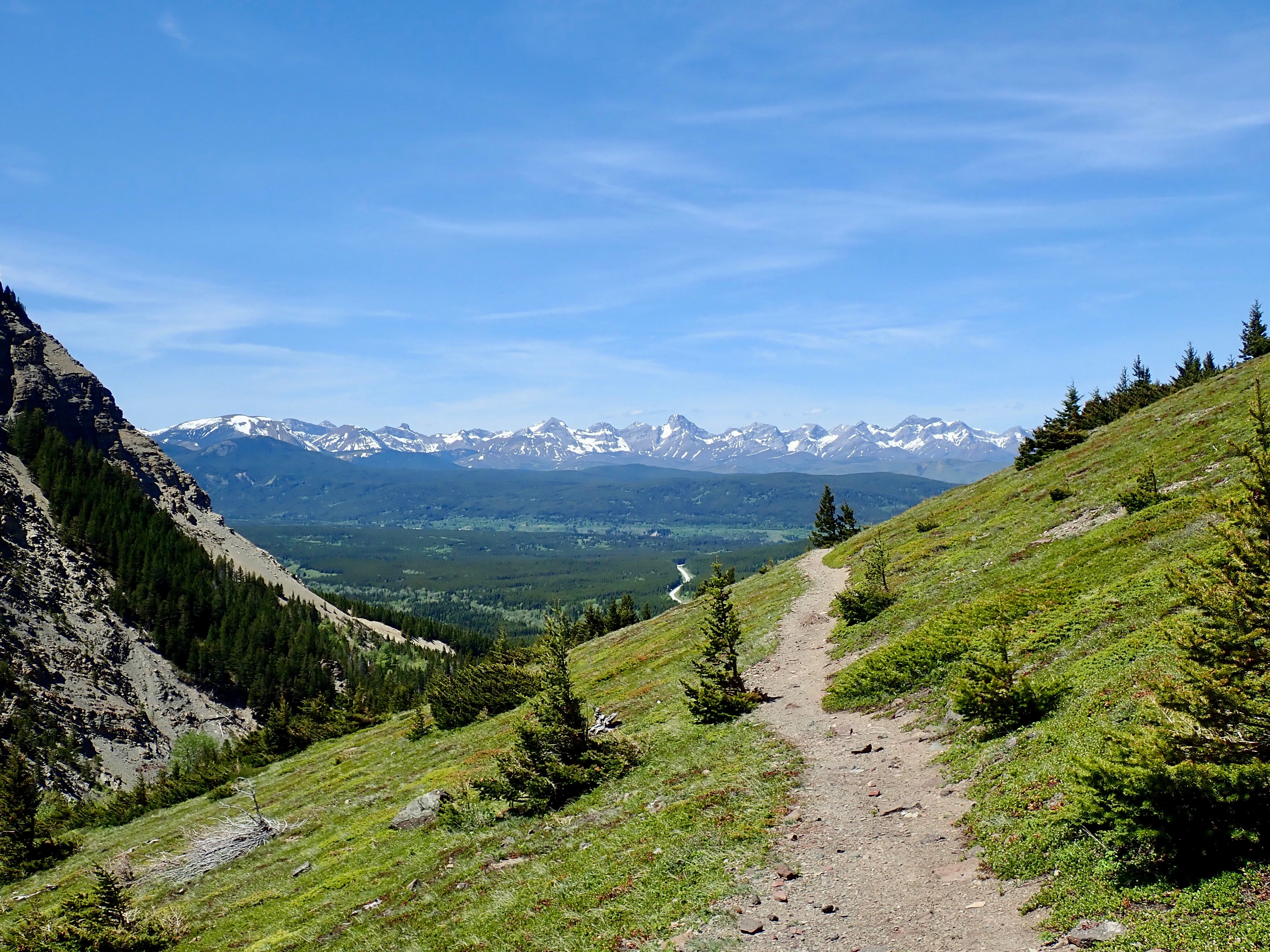
From there, I followed the hiking trail to tag the summit and returned via the normal hiking route (taking the shortcut I described in my original post). I was very luck to once again be on Table Mountain on a clear day. I spent a fair amount of time taking in the scenery, both while on top and on the descent.
Click on the pictures below to access full-sized images.


Very nice. Were you on top of the Plateau?
LikeLike