February 8, 2020. A popular all-season hike to a gorgeous lake in Kananaskis Country.
- Region: Kananaskis Country. Traditional territory of the Stoney, Tsuu T’ina, Ktunaxa, Michif Piyii Metis, and Blackfoot First Nations
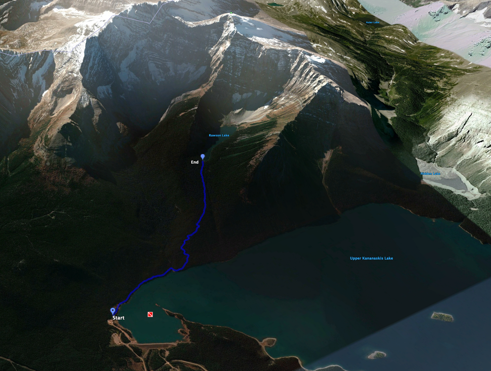
- Distance: 7 km round-trip to and from the nearest part of the lake
- Total Ascent: 292 m
- Elevation of Objective: 1997 m
- Total time: 2h
- Safety and Disclaimer
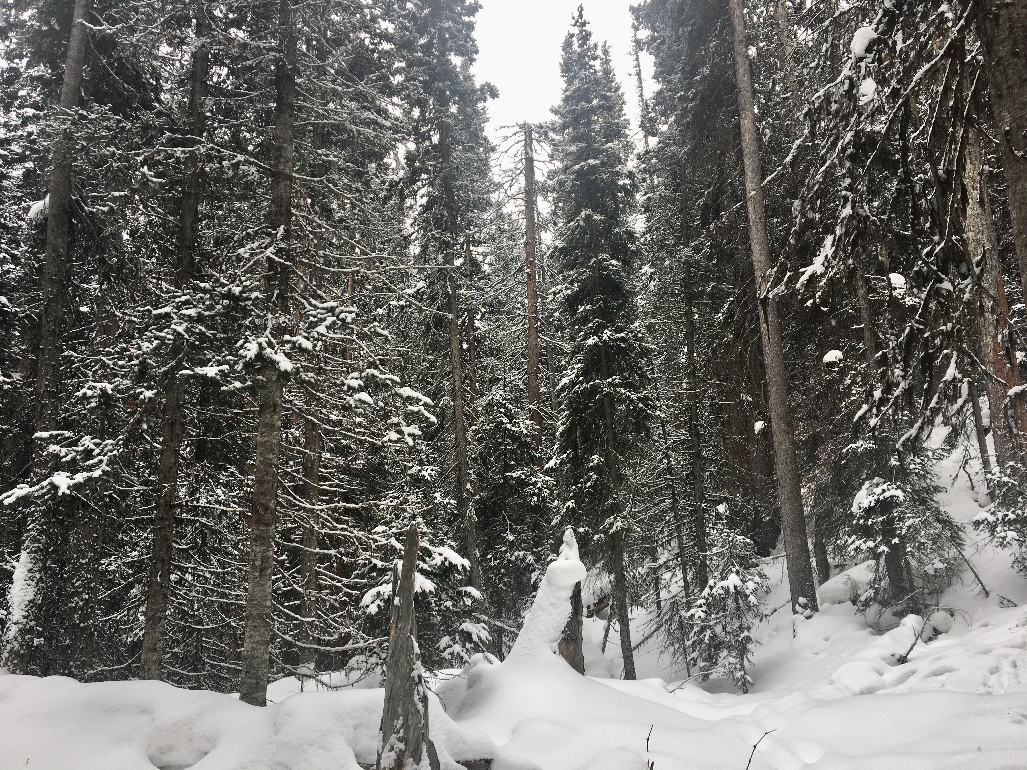
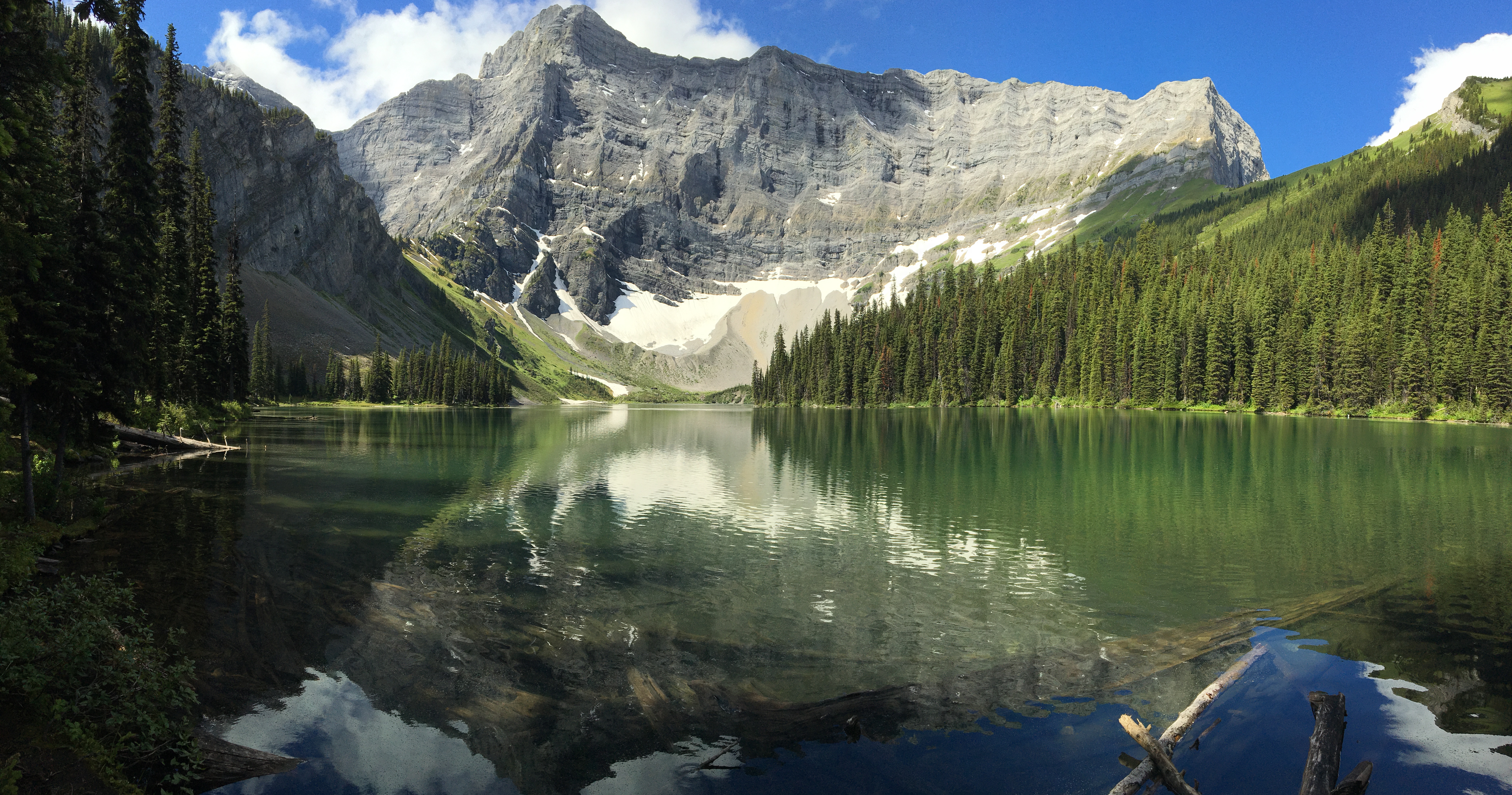
I have visited Rawson Lake a few times over the years. It’s the first “real” hike that my wife and I cajoled our kids up a number of years ago. It can serve as the jumping-off point to some more adventurous routes, but it’s a worthy half-day hike all on its own. My most recent trip was the first time I’d visited it in the winter. As a snowshoeing objective it’s excellent – even though the views were somewhat limited that day due to low cloud (hence the “featured image” for this post is from July of 2016).
Access is via the southern-most parking lot for the Upper Kananaskis Lake Day Use Area. Pit toilets and a map kiosk sit at the south end of the parking area and the Upper Kananaskis Lake trail sets off southwest along the southern edge of the lake. The trail features some ups and downs, but there’s no net elevation gain to speak of. After about 1.1 km the trail reaches the newly-built bridge over Sarrail Creek, next to picturesque Sarrail Falls. A short distance beyond the falls is a branch in the trail, and a sign pointing uphill to Rawson Lake.
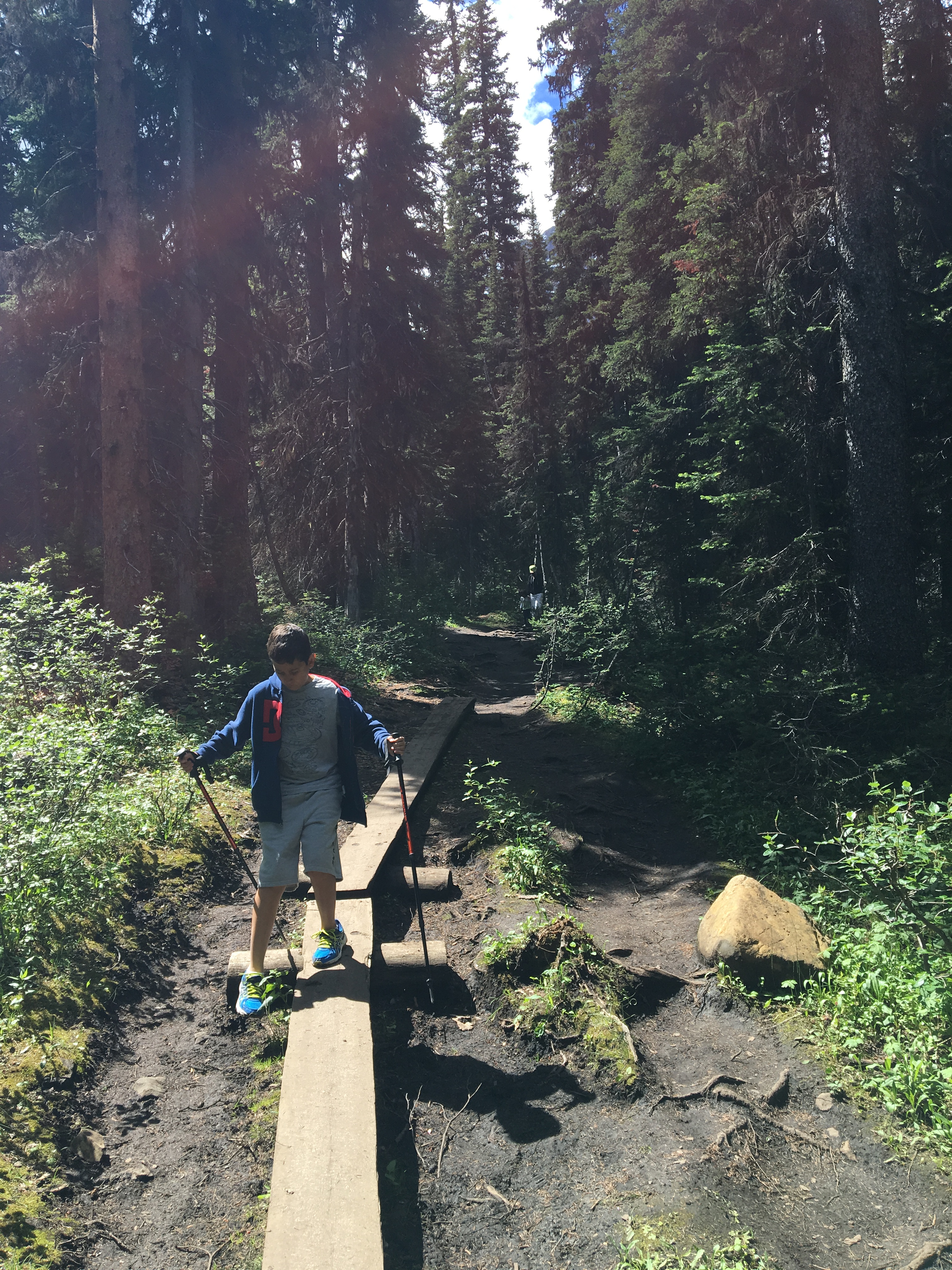
The next 2 km or so ascend through the trees, up to the hanging valley which holds Rawson Lake. The climb is fairly steady. In the summer it’s an unremarkable ascent through trees. The winter really brings out the wonder of the forest, though, and you find yourself stopping every now and then to take in the quiet views of deep snow among trees.
Even in low cloud and gloom, the arrival at Rawson Lake is impressive – a picturesque valley cupping an elongated lake, with the imposing face of the cliffs between Mount Sarrail and its northern outlier in the background. Winter travellers should be aware that extending this trip onto Sarrail Ridge (rising north of the lake) will bring them into avalanche territory. Casual snowshoers should go to the lake and enjoy the views from there. If you venture onto the ridge you should have avalanche gear and training, and be travelling with others who are similarly equipped. At other times of the year, the trail to this lake may be closed due to bear activity. Check on the Alberta Parks website or with the Peter Lougheed Visitor Information Center.
Click on the pictures in the gallery below to access full-sized images.