June 23, 2017.
I decided to make my first foray in to the Castle Wilderness by checking out Bovin Lake. The trail is described in Ambrosi’s Southern Rockies Trail Guide, and seemed like a reasonable half-day objective for a solo expedition. The weather was partly cloudy and slightly cool, with a possibility of rain, so I figured it would be best to pick a trail that stayed in a valley rather than go up on a ridge.
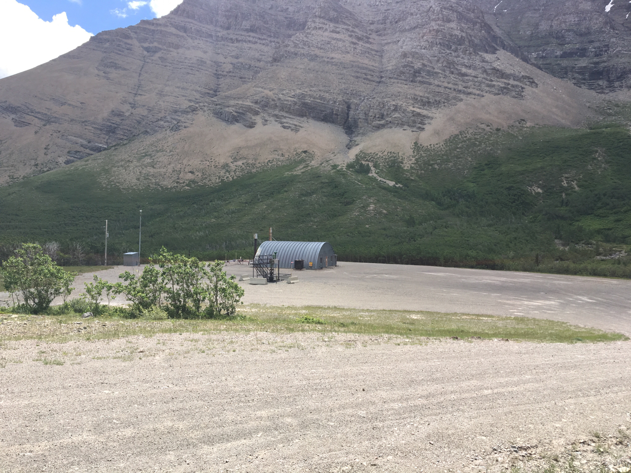
UPDATE (July 16, 2018): Access has been changed since the original post was published. The gate where the trail map is found now seems to be permanently locked (it used to be opened after June 15). In addition, the most straight-forward access road has also been blocked by a (permanently?) locked gate. You can still get to the gate where the trail map is (incidentally, some bright person has rammed and knocked down the map kiosk), but you’ll have to approach it differently. Go south from Pincher Creek on Hwy 6, turn onto the Shell Waterton Complex Road and drive past the complex. Where the road branches, turn left (Forest Reserve sign) – this is Twp Rd 4-3. Follow this about 3.8 km to Butcher Lake and turn left onto Rge. Rd 1-2a. Drive 1.4 km and turn left onto Twp. Rd. 4-2. Follow that 5km and then turn right. You’ll immediately be faced with the locked gate. Parking and walking from here to the well site where the real trail begins adds 4 km to the one-way distance of the trip. If you enter these coordinates into Google Maps: 49.248828, -114.059942 it’ll drop a pin on the well site where the trail begins. Given these changes, I’d suggest bringing a bicycle to deal with the 4 km of extra road to and from the trail.
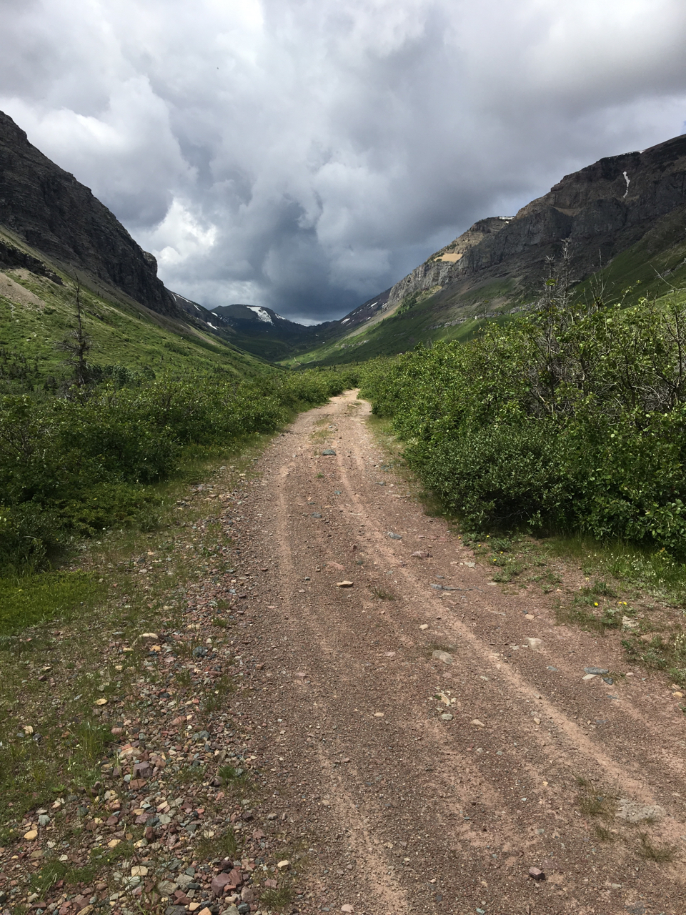
The trail begins beyond the well site, and it’s basically an old road. It is actually possible to drive it if you have a suitable vehicle. I encountered what could only be described as a mini monster truck part of the way along the trail.
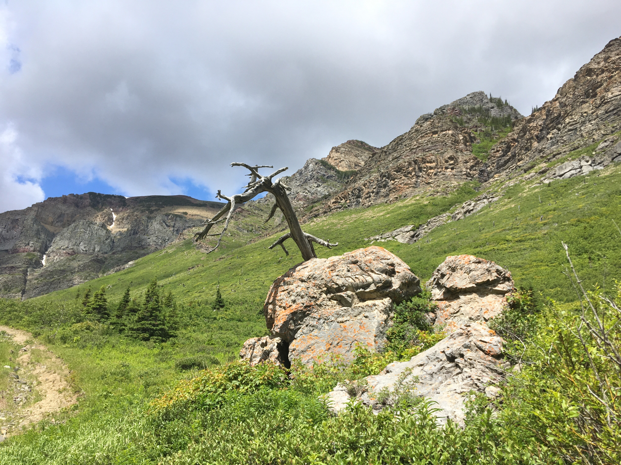
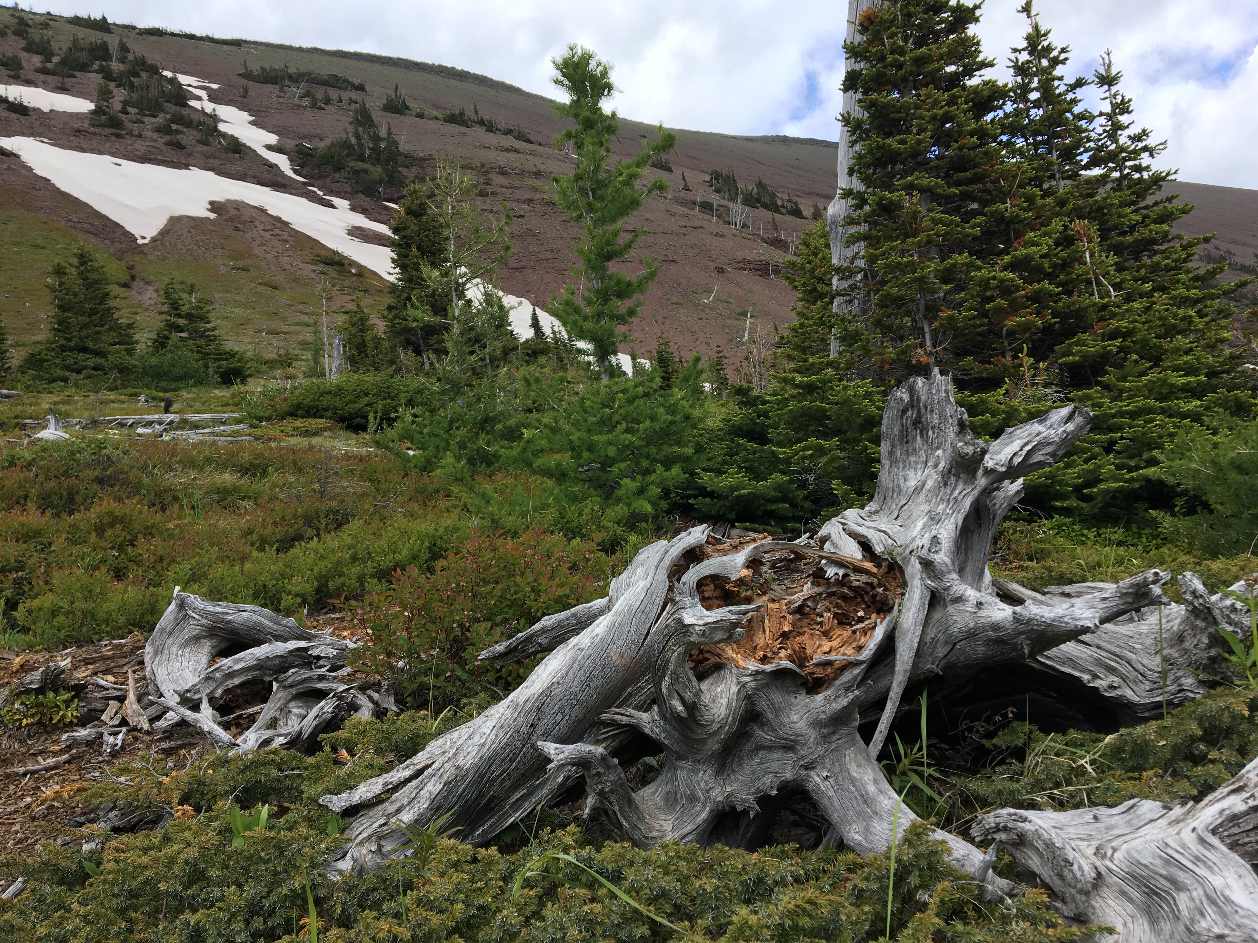
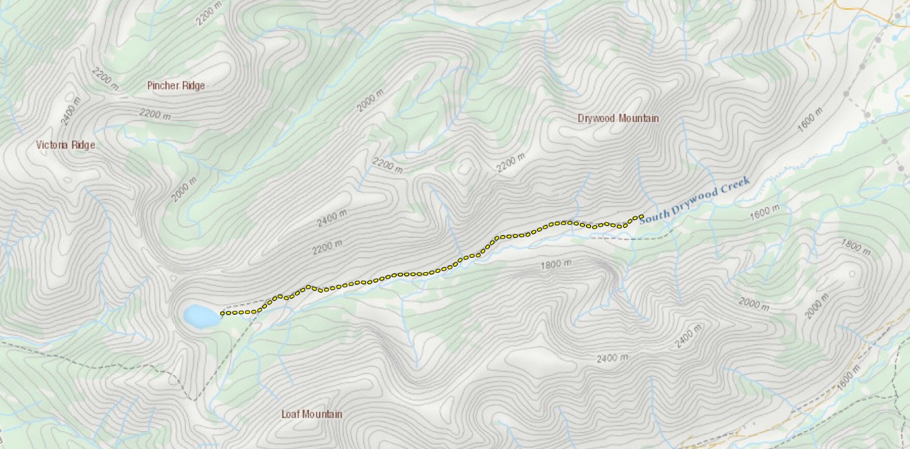
The whole trail is out in the open, running along a valley between Drywood and Loaf Mountain. It parallels South Drywood Creek. As a result, there are great views throughout the hike: rocky cliffs on both sides, dozens of little waterfalls and views back down the valley to the open prairie beyond. Bovin Lake itself isn’t anything spectacular, but it’s an attractive little lake, reminiscent of Forum Lake in Waterton. If you have the time and energy, the scramble up Loaf Mountain begins at the lake.
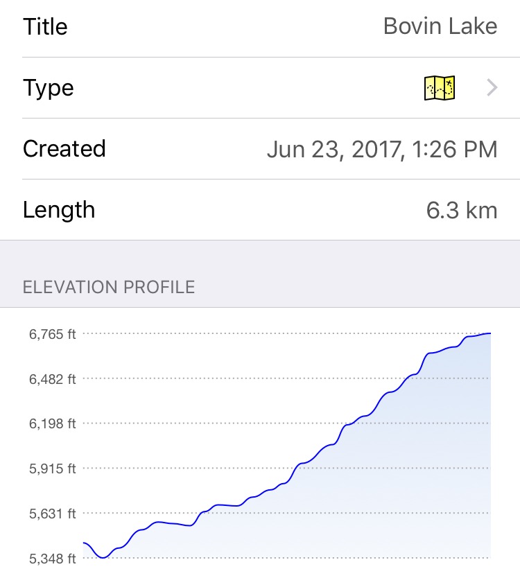
It took me 1 hour 40 minutes to reach the lake. One way from my car the distance was 6.3 km (though you could park closer to the start of the trail than I did). Elevation gain was 1417 feet/431 meters.
Click on the pictures in the gallery to access full size images.

Great directions, thanks. This is a great early season hike. Still the last kilometre was on snow pack on June 6, 2020.
LikeLiked by 1 person
I’ve been up to this lake a few times. My favourite was a while ago (mid 90’s) when access was easy. Parked up at the top wellsite and took a quad in. We were working hard back then, and had only a few free hours on a Sunday afternoon. Then took that straight trail up behind and above the lake, and around the upper rim above the lake. Hiked up the high point northwest of the lake. Great use of a couple hours.
LikeLiked by 1 person