June 26, 2021. A straightforward Waterton scramble with great summit views.
- Region: Waterton Lakes National Park. Traditional territory of the Blackfoot, Tsuu T’ina, and Ktunaxa First Nations
- Distance: 15.5 km round-trip
- Total Ascent: 1200 m
- Elevation of Objective: 2450 m
- Total Time: 7h 15m
- Safety and Disclaimer
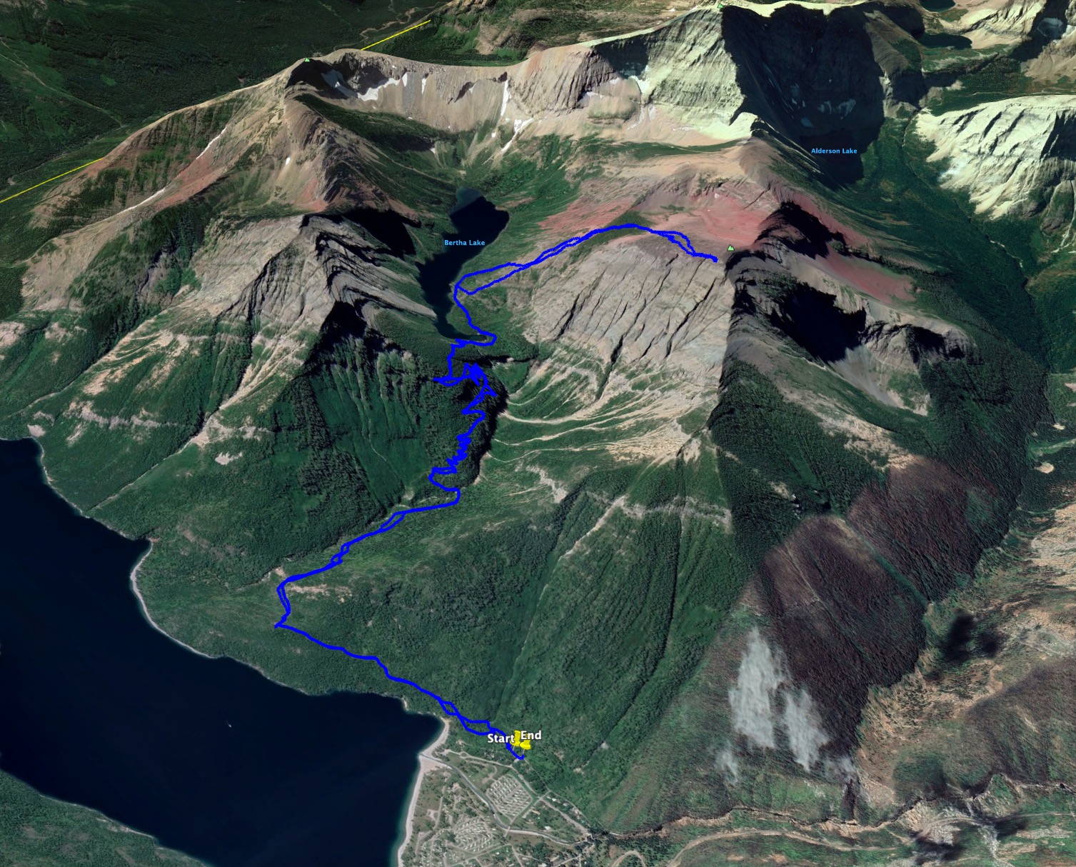
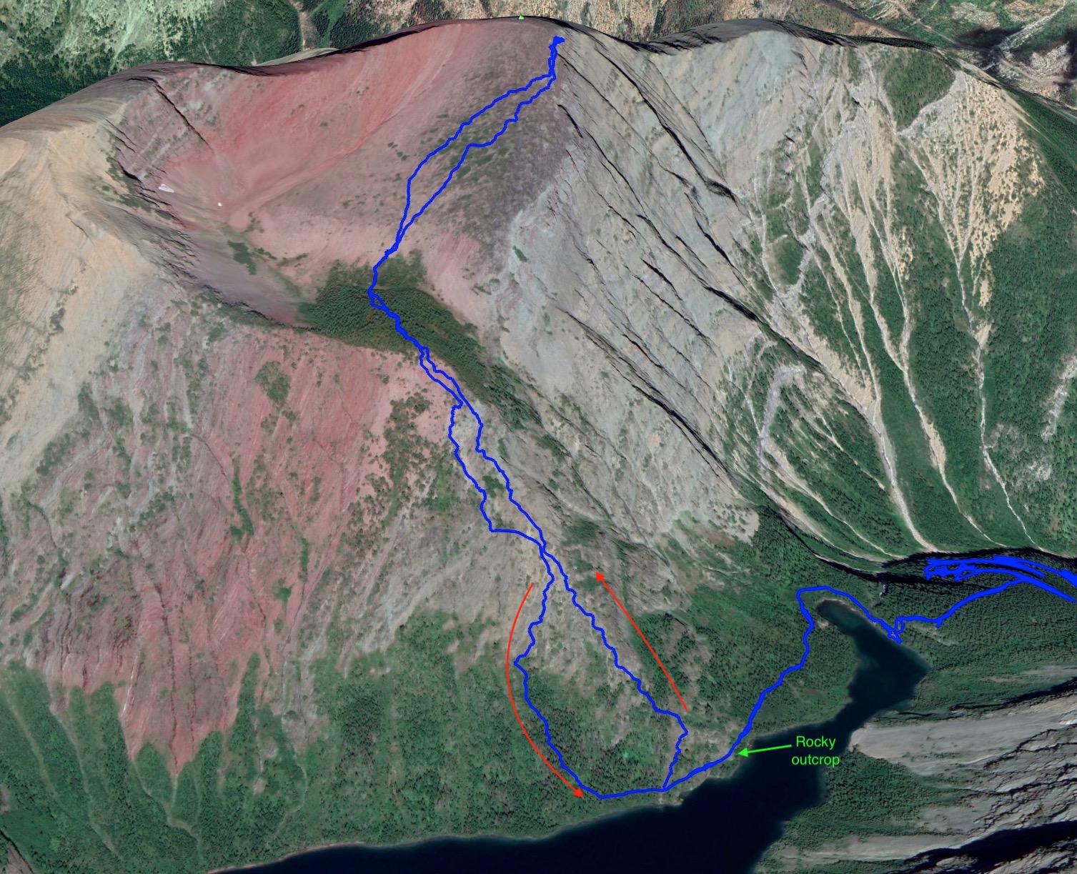
I tried scrambling to the summit of Bertha Peak 4 years ago but had to turn back before reaching the top. You can read about my adventures in heat exhaustion here. I had the chance to return and reach the summit this summer, this time hiking with a group from Calgary that were kind enough to invite me along. Kane describes two routes to the top in the 3rd edition of Scrambles in the Canadian Rockies. In 2017 I tried his easy route, which I found a little miserable due to unavoidable bushwhacking and an initial ascent away from the lake on steeply angled slopes that were more dirt and rubble than rocky scrambling territory. On subsequent visits to Bertha Lake, I noticed that where the trail around the lake passed across the bottom of the south ridge there was clear terrain heading upwards which looked like a far better way to ascend. Many other people have obviously had the same idea because that spot is sometimes marked with a small cairn by the lakeshore trail. Our group decided to use this route to ascend.
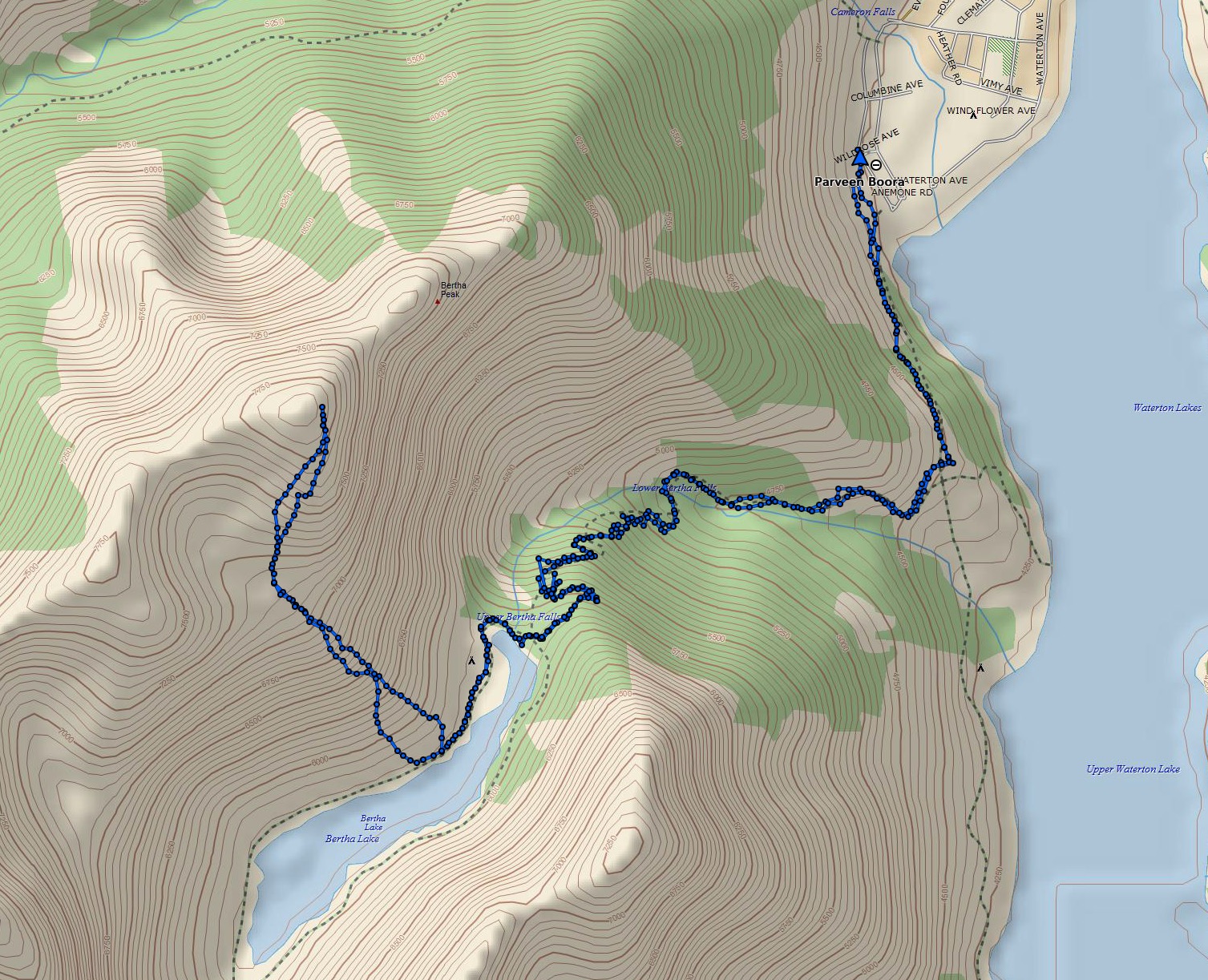
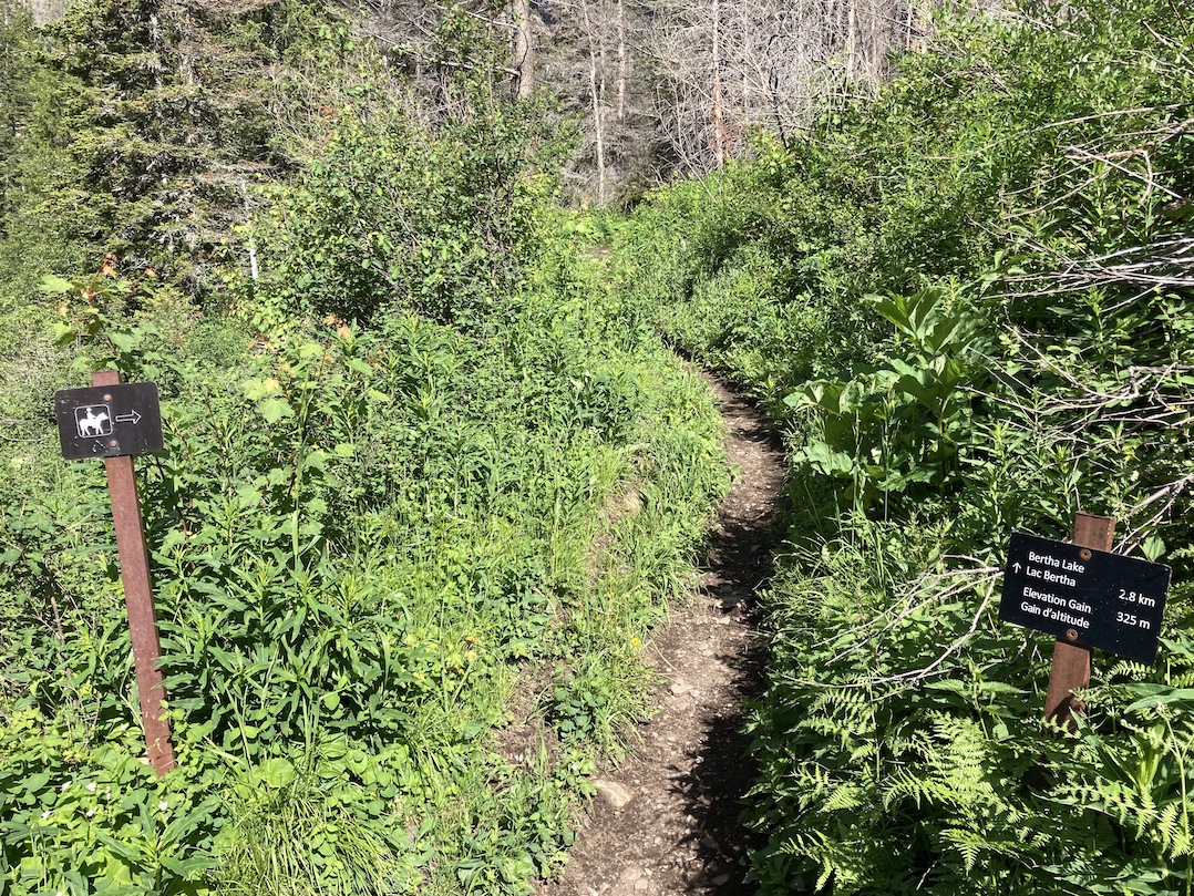
Access is via the very popular Bertha Lake trail. Arriving at the townsite proceed straight through the 3-way stop. Continue following this road, Evergreen Avenue, as it reaches a Y intersection with Cameron Falls Drive. Go right and drive past Cameron Falls then continue along the road looking for the sign pointing to the Bertha trailhead. Click here for the Google Map. Waterton’s major overhaul over the past few years has resulted in a parking area that’s nicely paved. It fills up early in the day during high season but there’s ample additional parking nearby on Evergreen Avenue. If you like using Google street view to scout ahead, note that the images for Waterton are 9 years old and quite notably out of date.
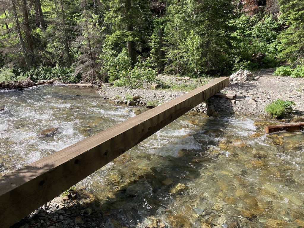
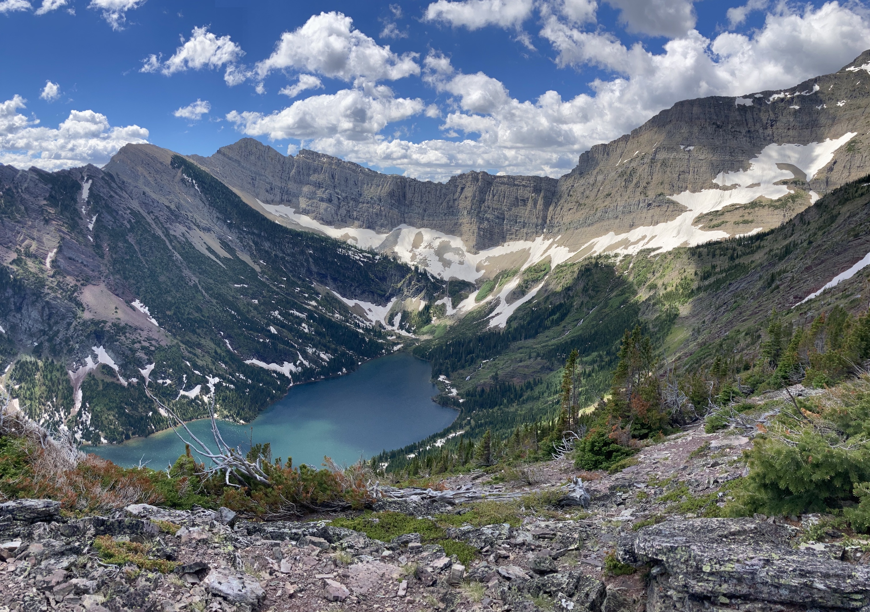
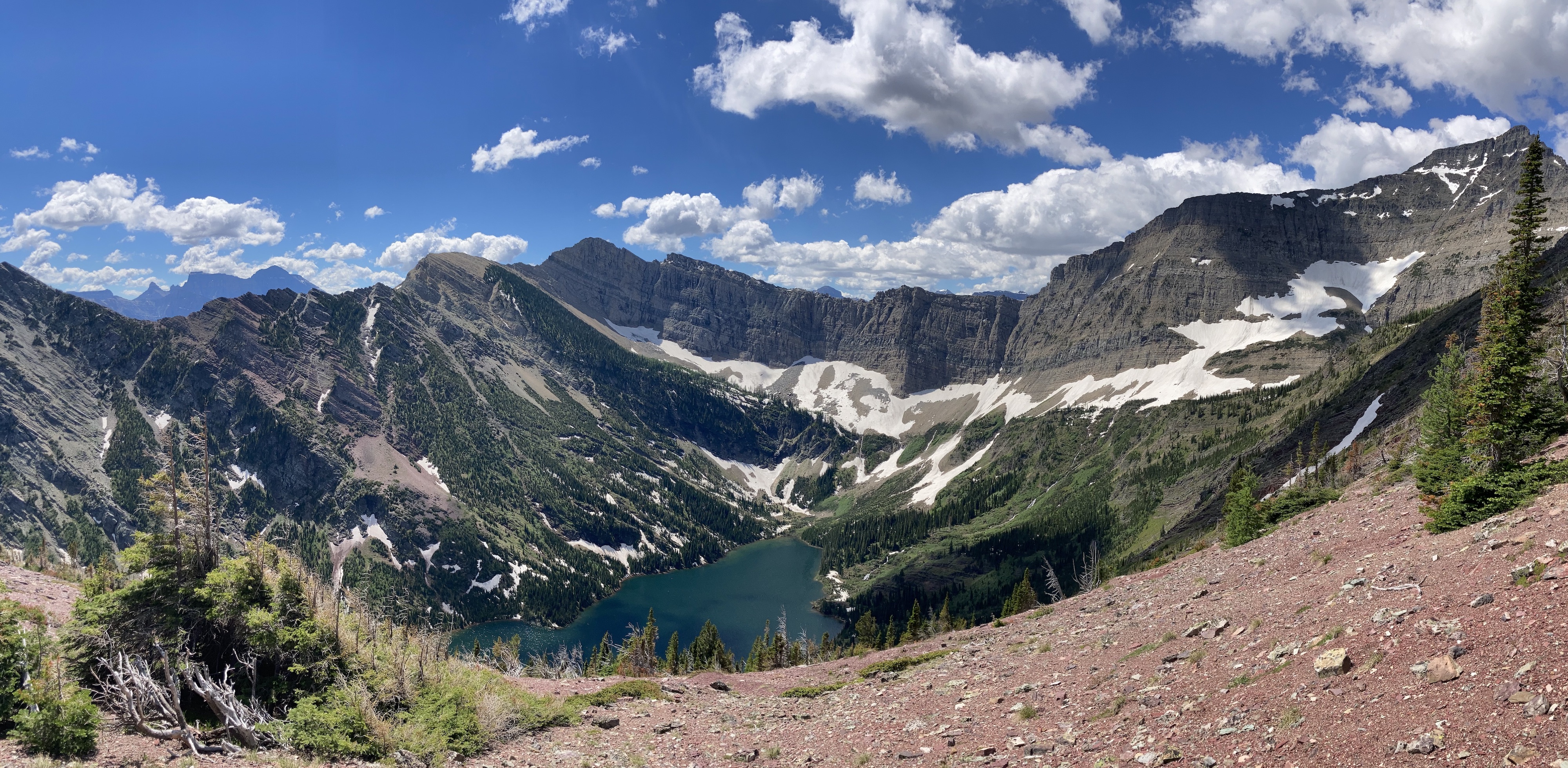
We followed the Bertha Lake trail up to the lake. The bridge crossing the creek below the lower falls, which once marked the beginning of the steep ascent, was damaged by avalanches and has now been removed. Hikers are instead directed to what used to be the horse trail to a crossing above the falls. This was once a ford, but now there’s a sturdy beam bridge traversing the water. Arriving at Bertha Lake, we followed the lakeshore trail counterclockwise past the camping area. We kept following it to where it ascends somewhat and crosses some rocky terrain. A short distance past there is a spot where there are obvious open slopes ascending to the right. I once saw a cairn marking this spot but it was gone this year. It’s not hard to identify, though. We turned right here and ascended.
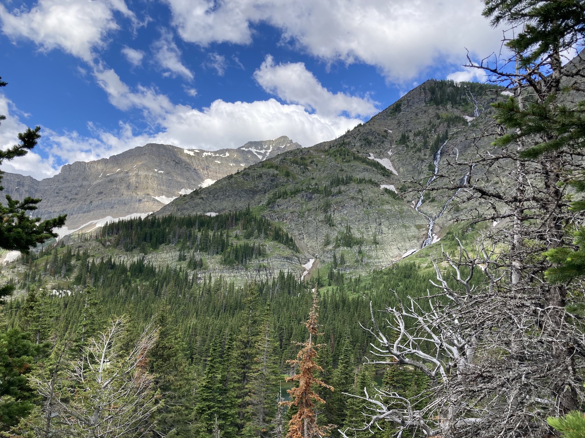
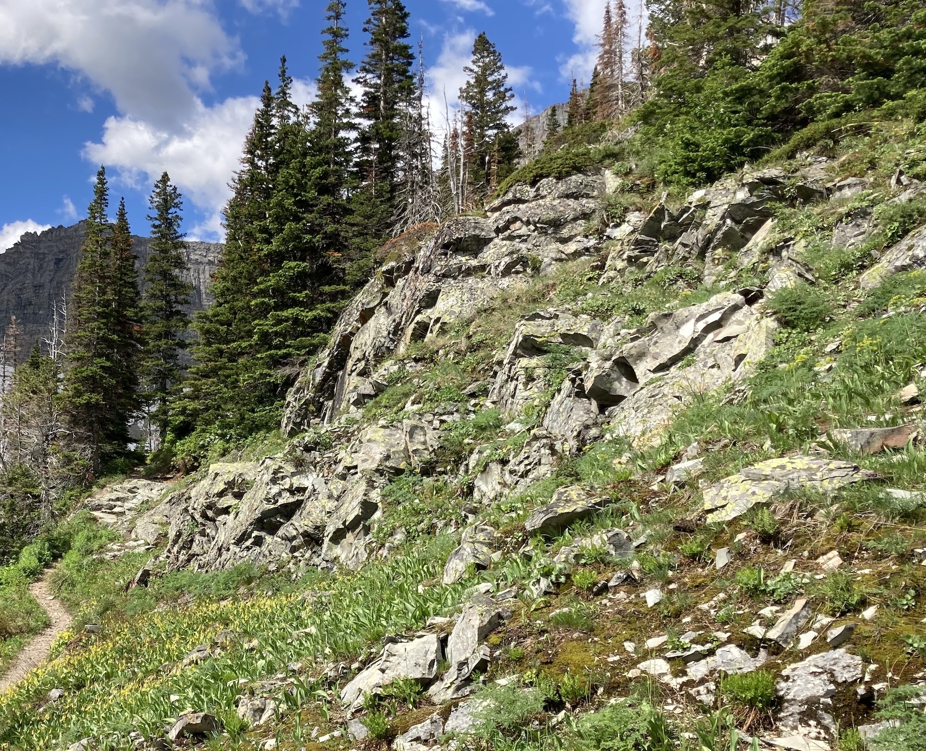
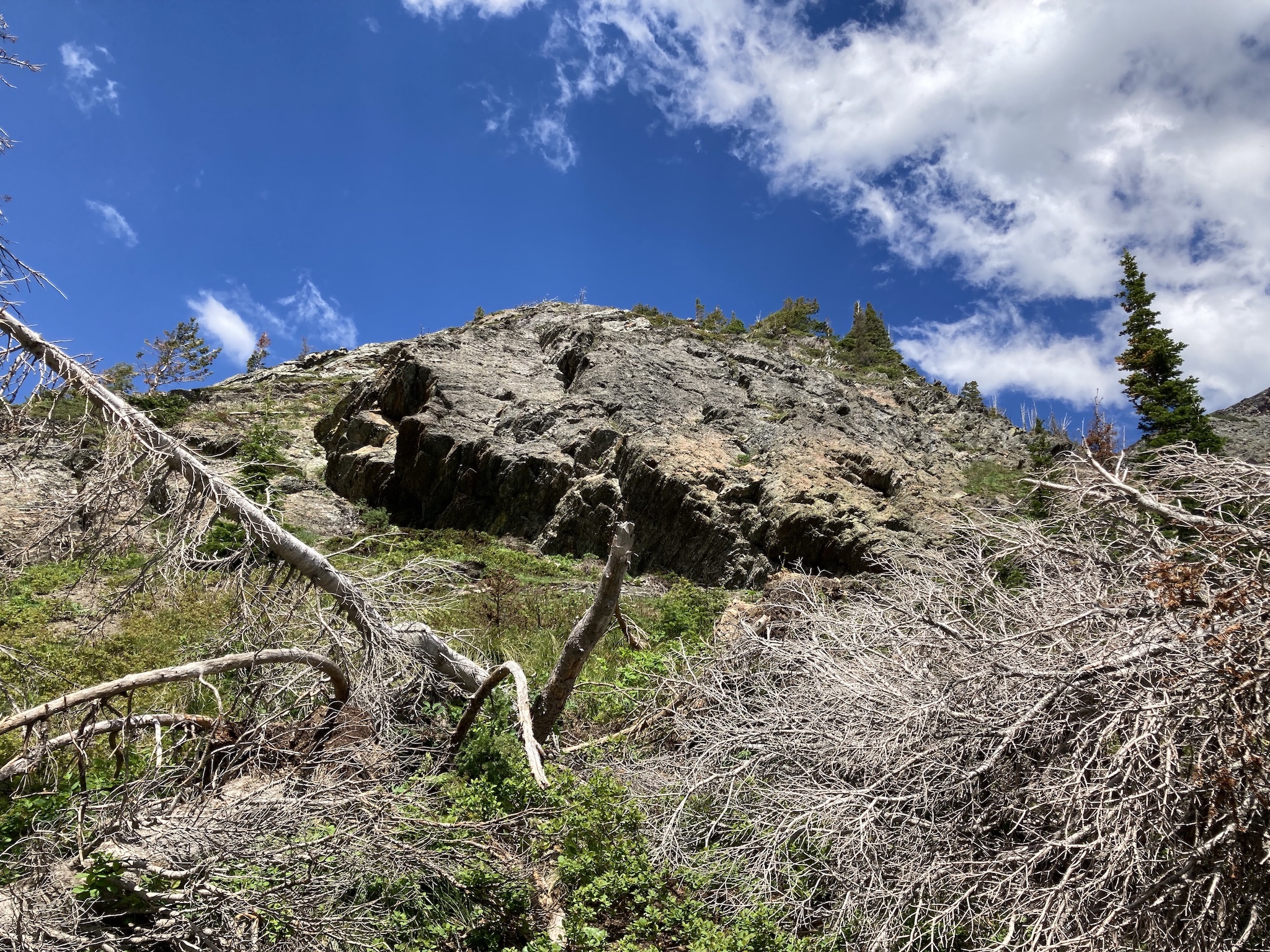
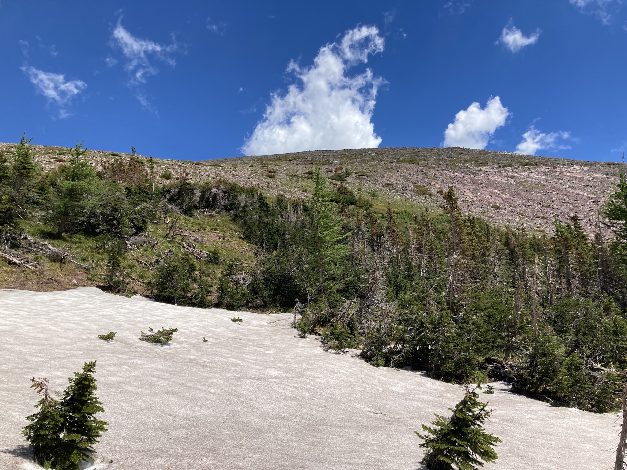
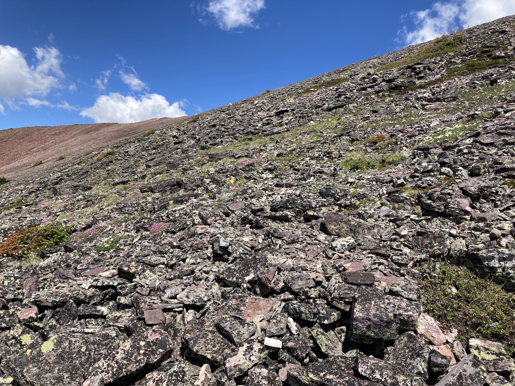
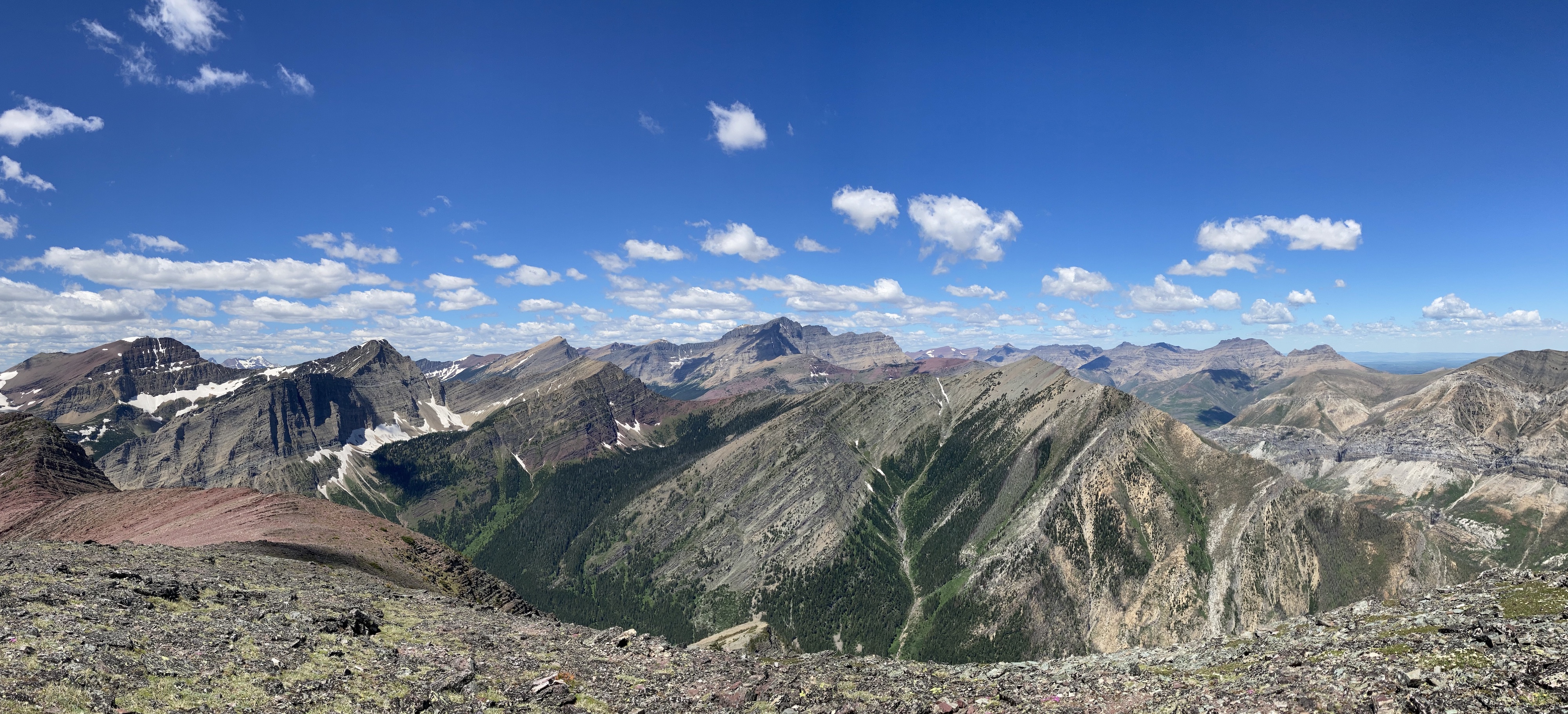
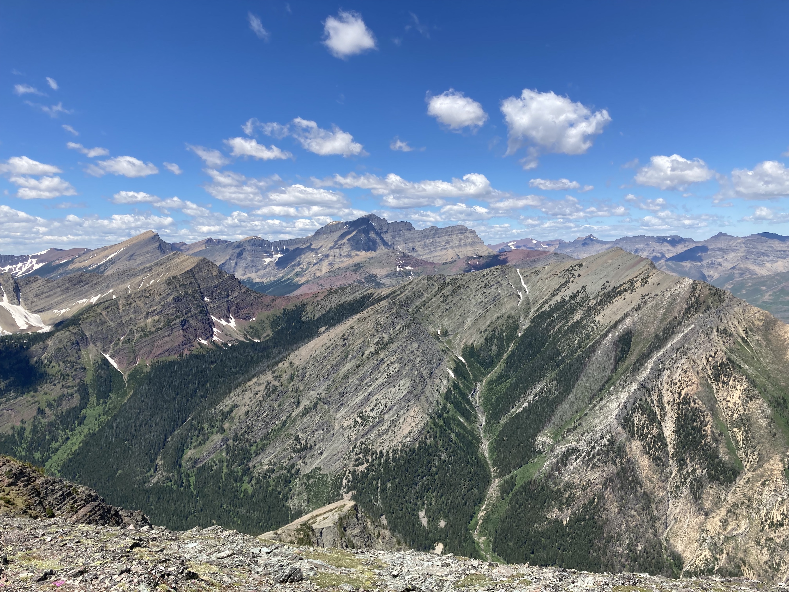
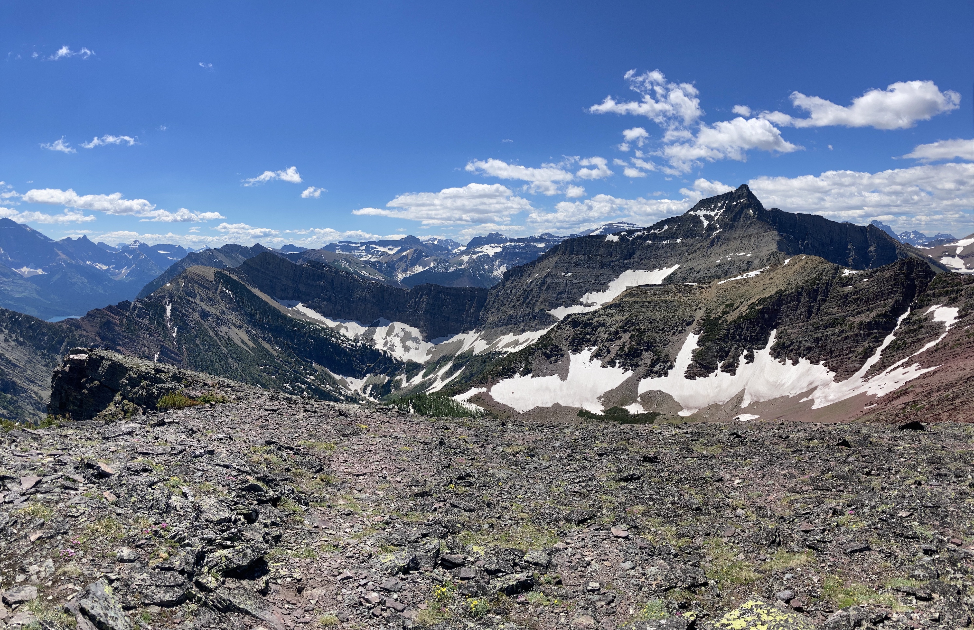
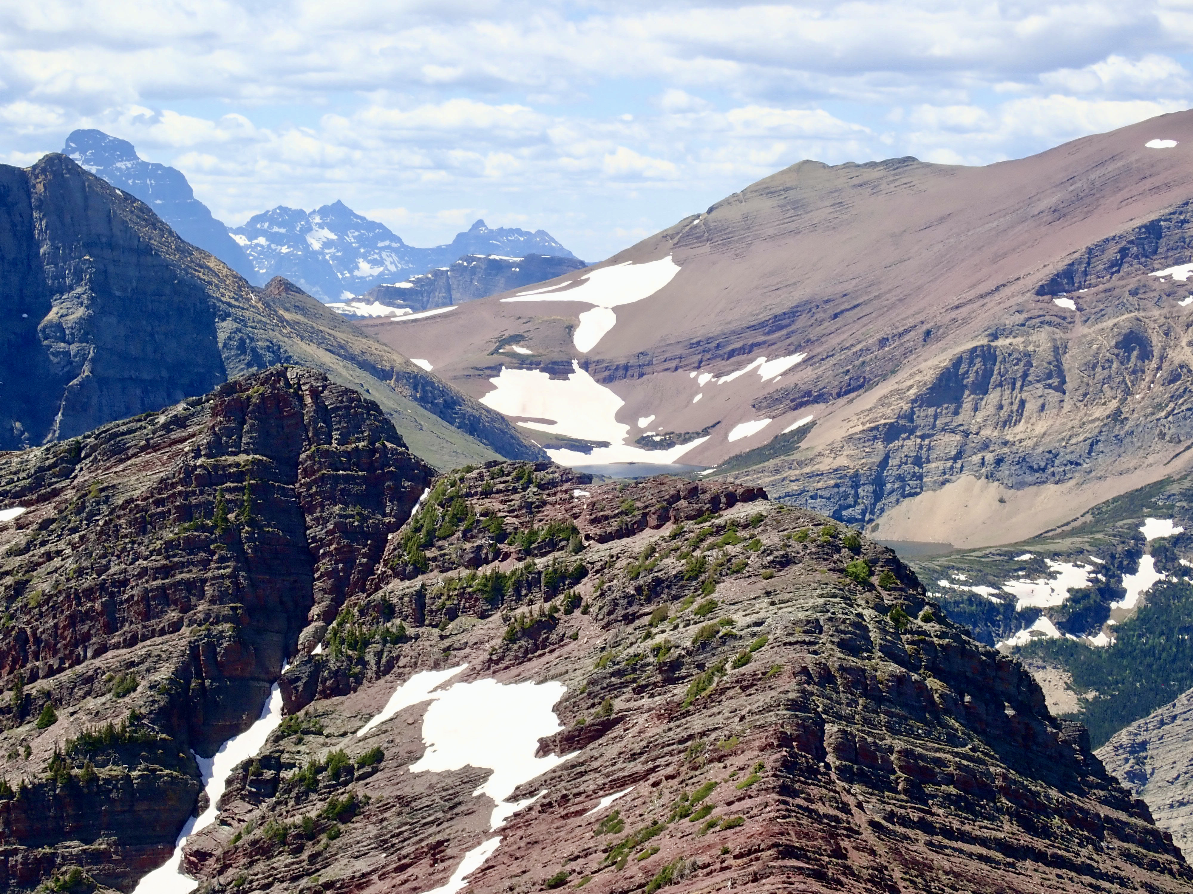
The route wasn’t hard to discern, and just involved staying on the ridge and occasionally finding a path through some deadfall. What was particularly nice was that there were several places where there was an option to do some hands-on scrambling up decent rock. There was no exposure and those in the group who didn’t feel like scrambling could bypass these areas easily enough, typically to the left. The terrain eventually levels. Bertha’s summit is visible off to the right at this point and straight ahead is a small larch forest. We passed through the forest, which still had ample snow covering the ground beneath the trees, and emerged in a small glade. From there it was a hike on open slopes to the northeast to reach the summit.
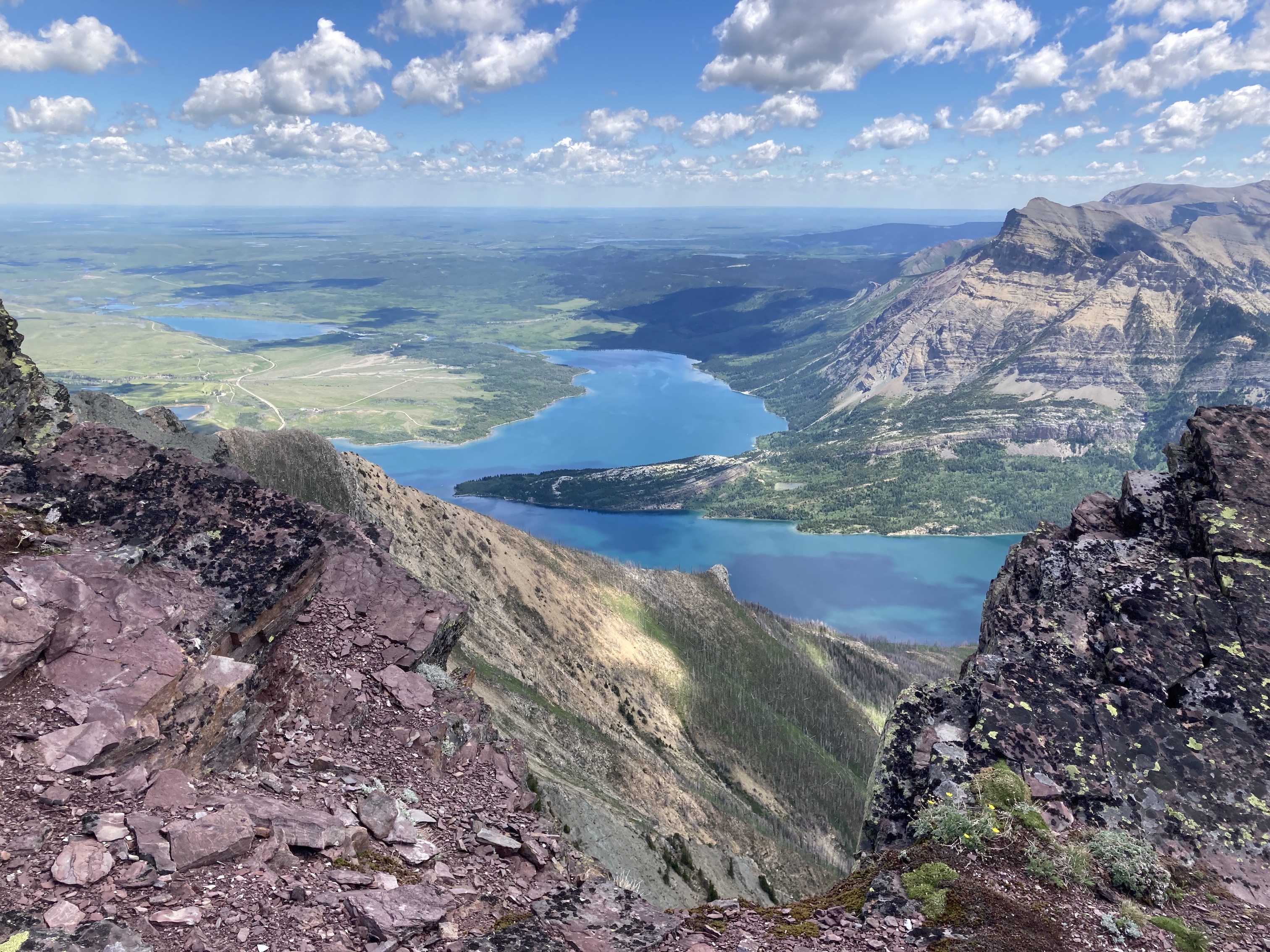
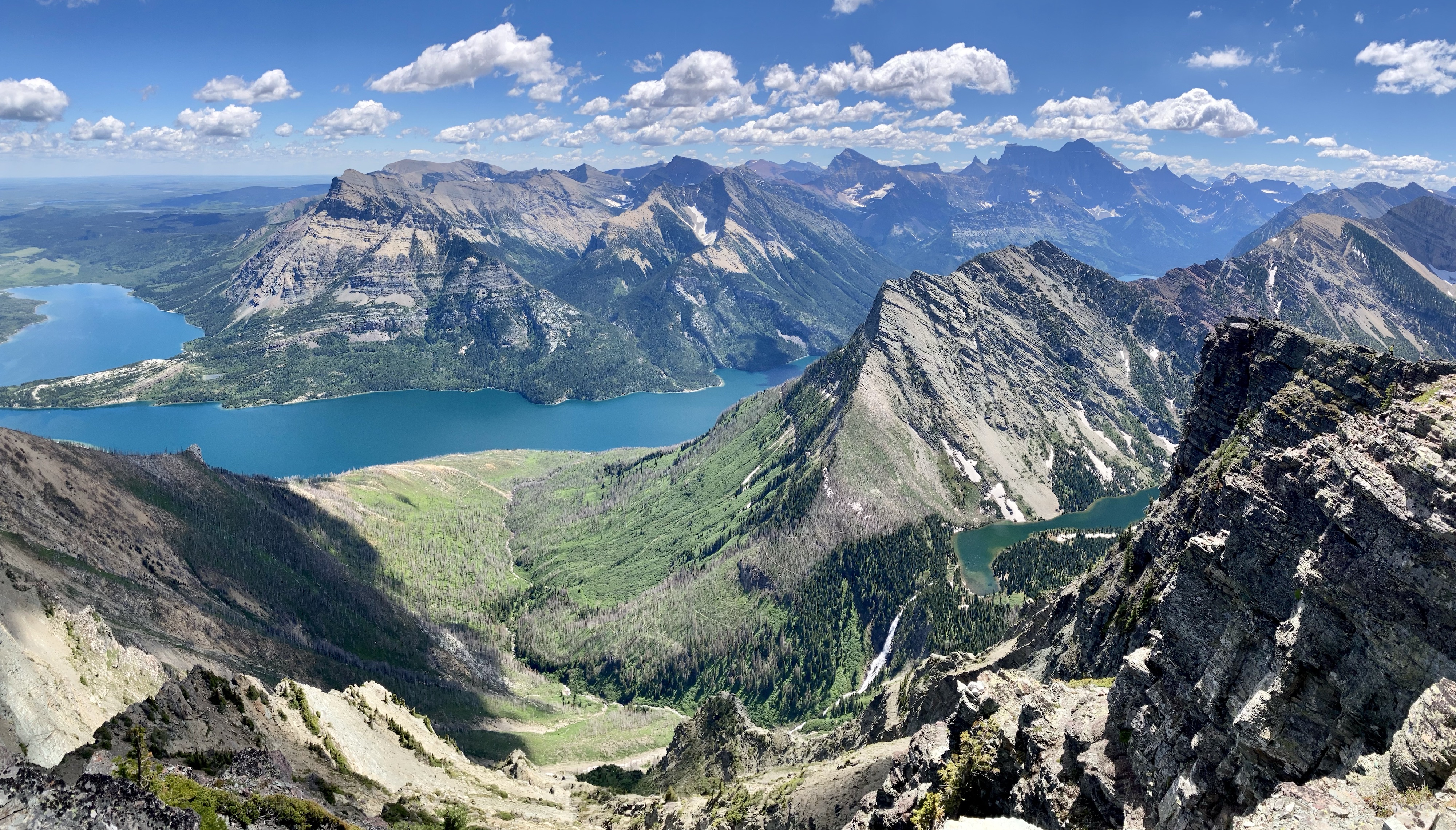
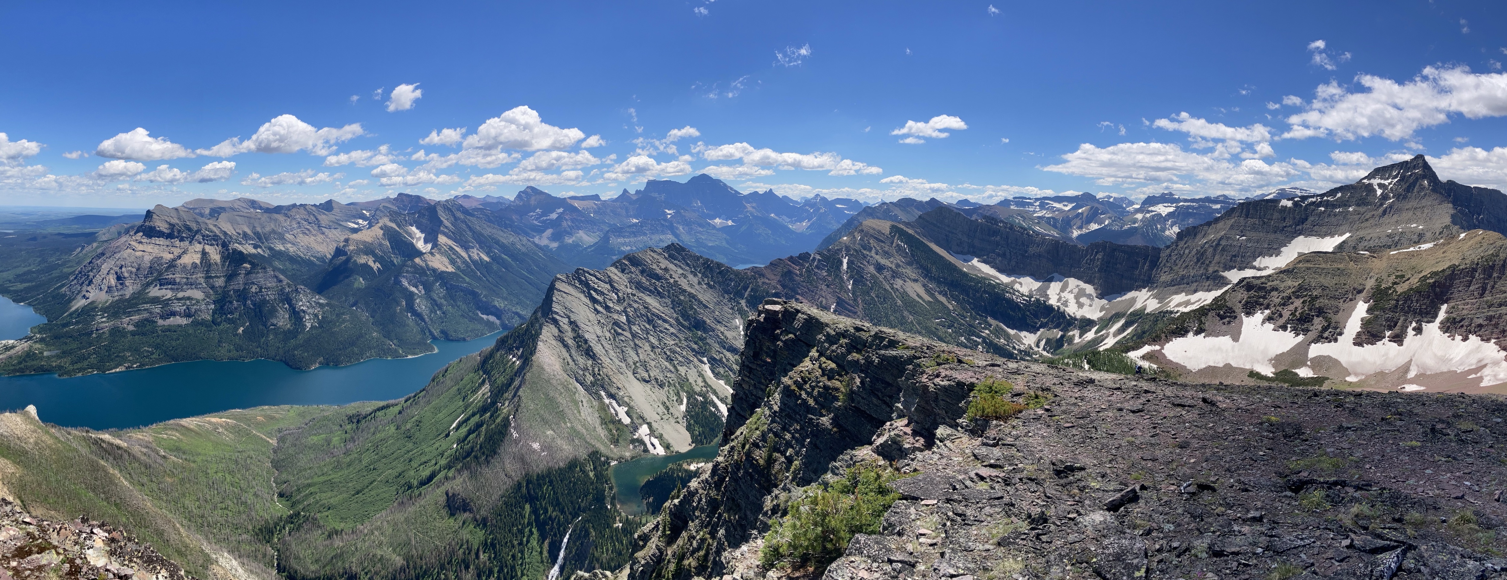
The highlight of the summit views is the ability to see Upper Bertha Falls plunging down from Bertha Lake far below you. The upper falls are heard more than seen during the ascent along the Bertha Lake trail due to intervening trees. Having the chance to finally see this entire waterfall was worth the climb in itself. We enjoyed a nice long stay at the top. Though it was sunny, temperatures were very comfortable. It was also one of those rare days in Waterton with minimal wind. The usual buzzing flies were at the summit, but interestingly there were also hundreds of ladybugs. I don’t remember encountering any of these bugs on a summit before, so their presence was a bit of a puzzle.
For our descent we followed the same route. We did deviate a bit from the ridge to try to keep to gentler terrain. As we got nearer to the level of the lake we went a little further away from the ridge and this ended up requiring us to do some bushwhacking to get back to the lakeshore trial. In retrospect it would have been easier to stick to the ridge all the way down.
Click on the pictures the gallery below to access full-resolution images.


2 thoughts on “Bertha Peak (South Ridge)”