July 17, 2020. A full-day hike in Banff to the summit of the most accessible Canadian Rockies peak above 2900 m.
Region: Banff National Park. Traditional Territory of the Ktunaxa, Tsuu T’ina, and Blackfoot First Nations.
Distance: 25-30 km round-trip (1 of my apps and my Garmin measured the trip at 30 km, another app measured it at 25 km. I have no explanation for the discrepancy).
Mount Bourgeau is apparently one of the most popular peaks in the Banff area – a 2906 meter summit accessible from a well-marked trail and requiring no scrambling, just legs that can handle the vertical. The trail is the Bourgeau Lake/Harvey Pass trail, which is just a short distance west of Banff. The lake is beautiful, but the approach is lack-lustre. Even moving at a pretty brisk pace, it involves almost 2 hours hiking along a mostly wooded trail. On that basis, the Copelands in Don’t Waste Your Time in the Canadian Rockies5thed. strongly encourage hikers to carry on to Harvey Pass – and I can confirm they’re giving good advice. Beyond the lake, things get steeper, but far more scenic.
Access is from Hwy 1, about 12km from the west end of Banff. There are signs marking the turn (if approaching from Banff, you turn onto a short road through the wide forested median, then drive across the eastbound lanes into the parking area). Ask Google Maps to drop a pin here: 51.168484, -115.730555. Pit toilet facilities and a map kiosk are at the trailhead. There’s a latched gate to pass through to get onto the trail – this is part of the wildlife barricade that stretches along the highway here.
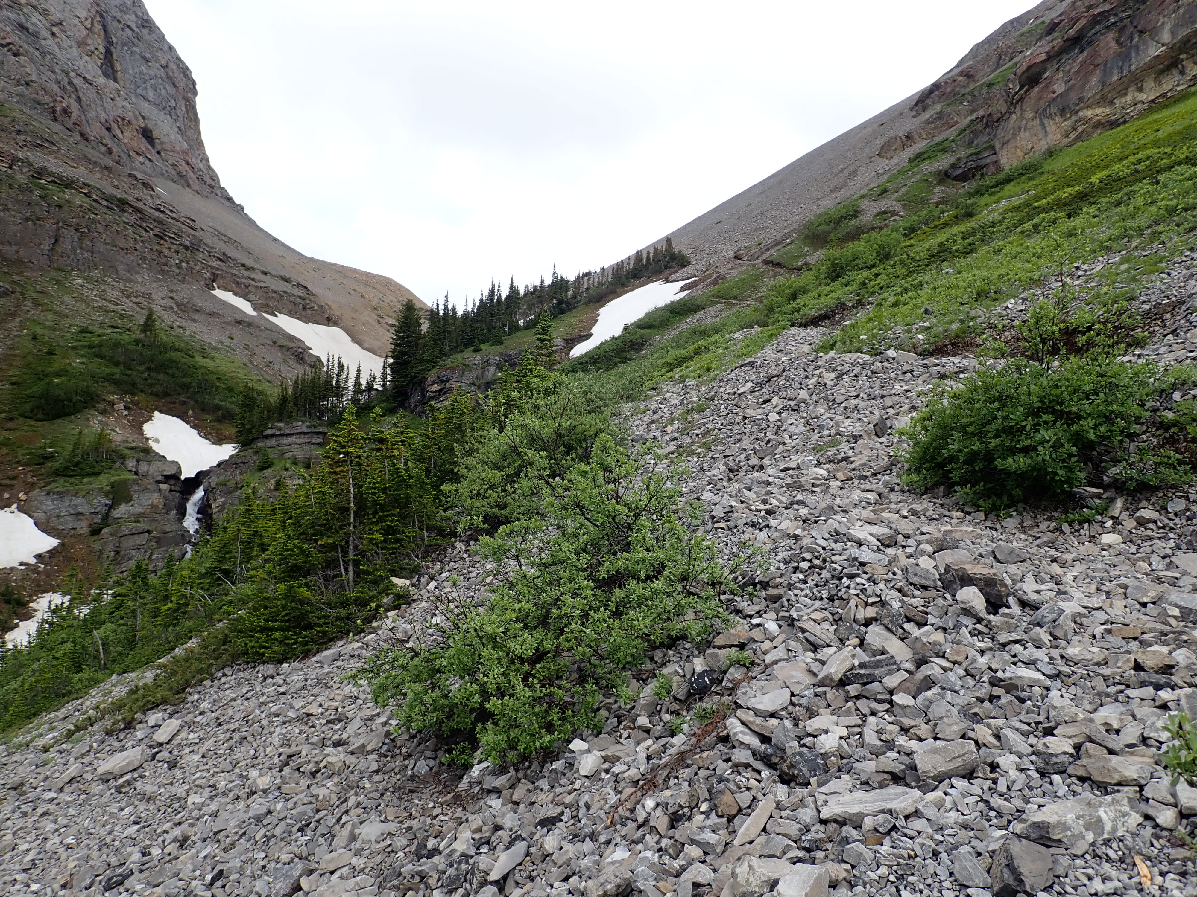
The initial forested portion of the trail does occasionally allow for some nice views, but it’s mostly just something to endure at the start and end of your day. There are 2 creek crossings, one with a bridge and the other without. The second crossing is at the foot of a cascade flowing from the outlet of Bourgeau Lake. A bit of steep hiking beyond this crossing brings the trail to Bourgeau Lake’s hanging valley. The trail levels, and shortly thereafter reaches the lake itself.
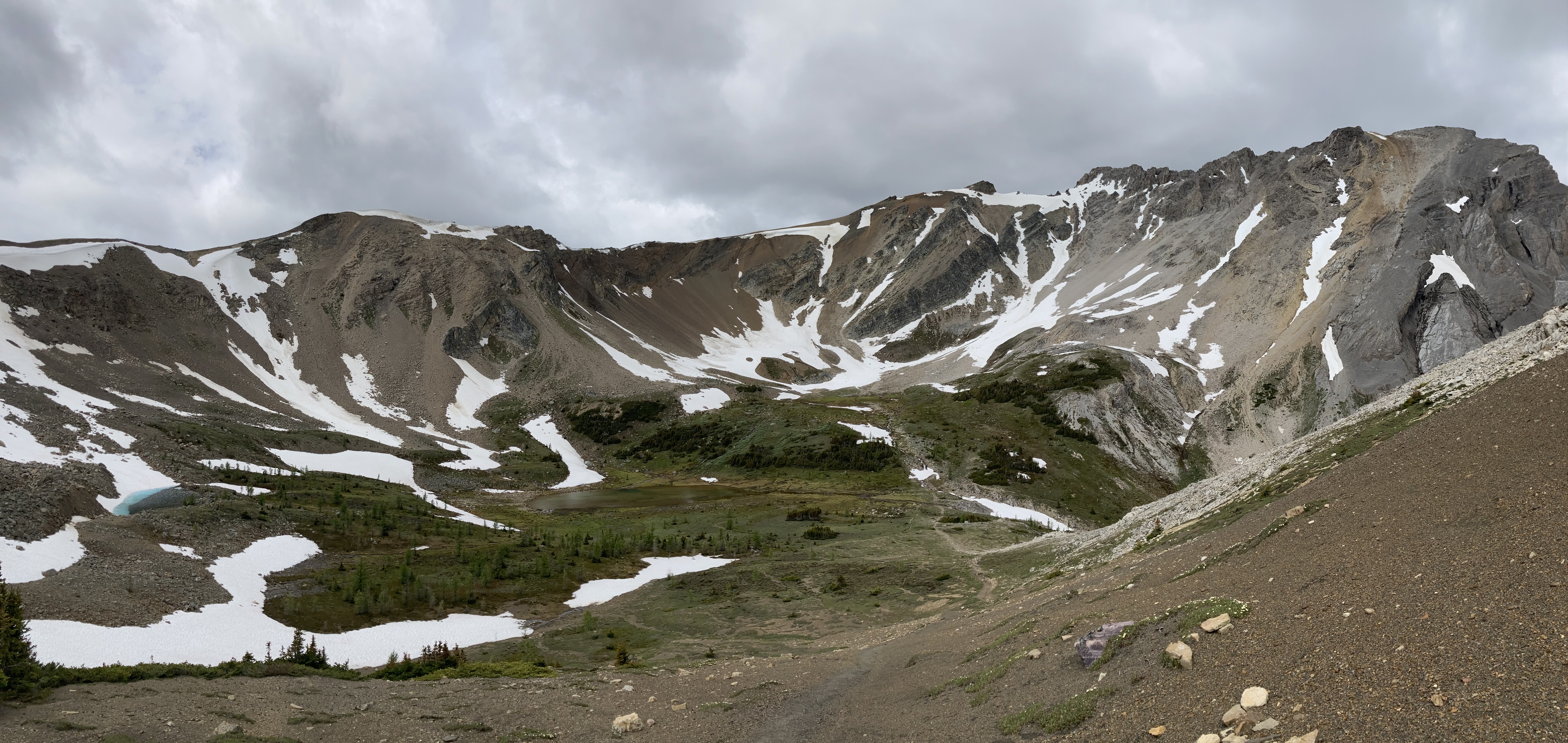
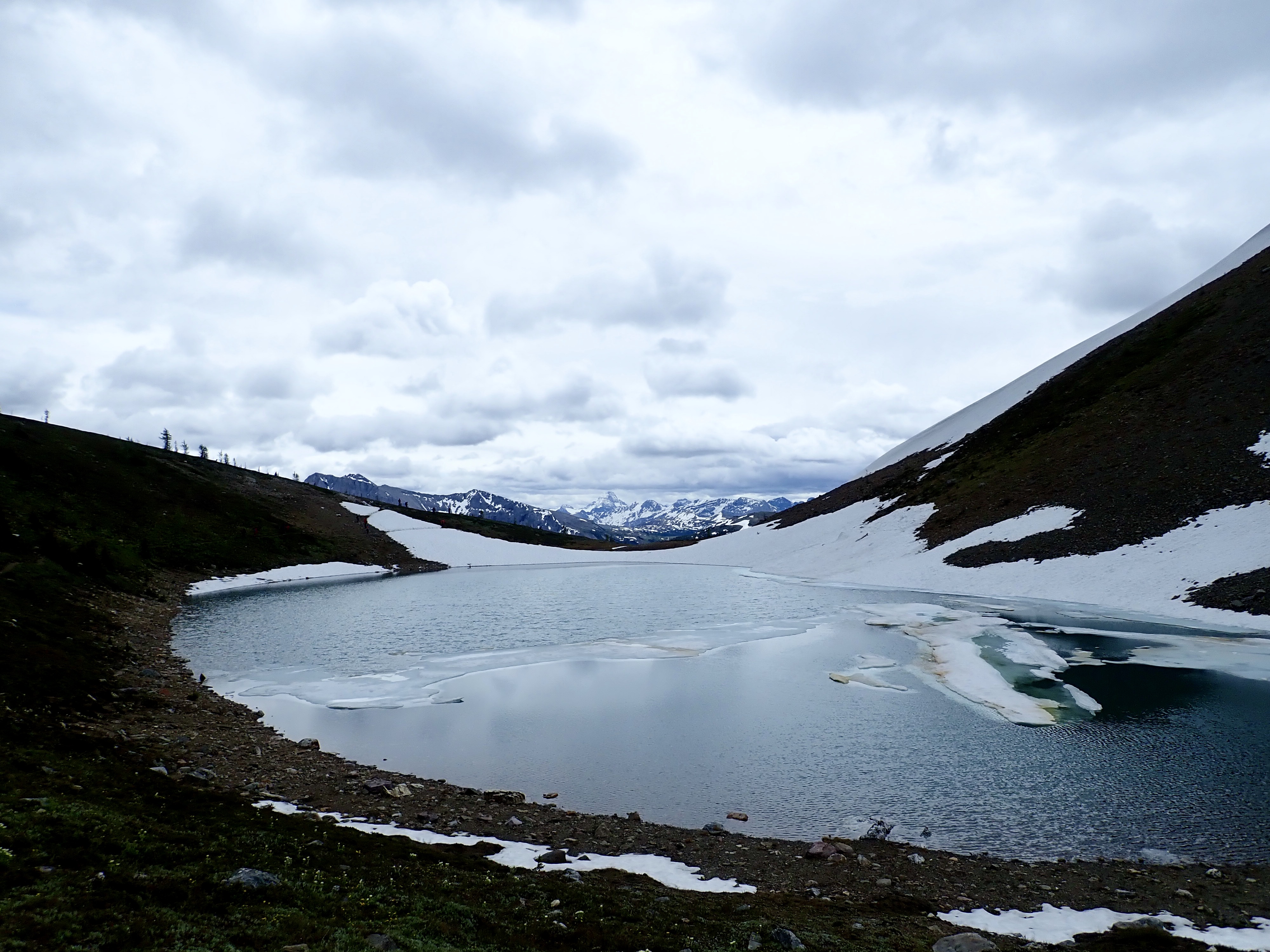
The trail carries on around the north side of the lake, then begins a climb west to yet another hanging valley. The route goes past small cascades draining from a collection of tarns in the upper valley. Finally, the trail swings southeast and climbs steeply again to Harvey Lake, and Harvey Pass beyond. The first glimpses of the views beyond the pass will hopefully make it clear that the trip is worth the effort. On a clear day, Mount Assiniboine will be visible in the distance straight ahead. I didn’t visit on a clear day, so I didn’t realize this amazing natural framing until I looked over my should on the way back down. The clouds had moved during my descent and unveiled the “Canadian Matterhorn”.
The way to the summit is obvious from Harvey Pass. The boot-beaten trail isn’t official, but enough people use it that it’s very well defined. It’s another 500m elevation gain, but the views just keep getting better – both nearby and distant. Eventually the unusual sight of a large green propane tank comes into view (there’s some sort of weather station or something on the broad summit), welcoming you to the summit.
There’s only so much hyperbole I can wedge into this post, so I’ll let the pictures speak for themselves. I’m not familiar enough with the region to point out the names of all the peaks. It was cloudy and unsettled on the day of my climb. I can only imagine how great the views would be without cloud cover.
Click on the pictures in the gallery below to access full-sized images.
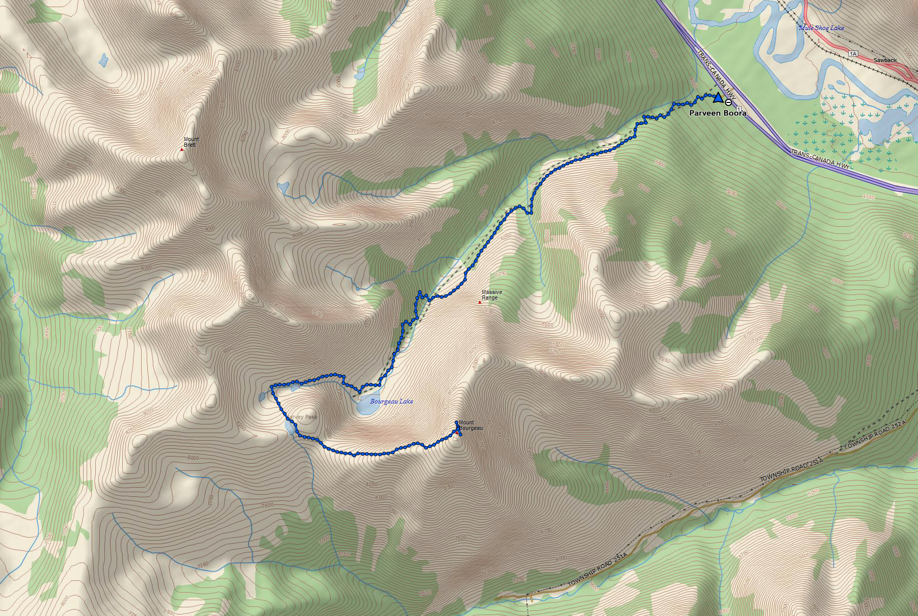
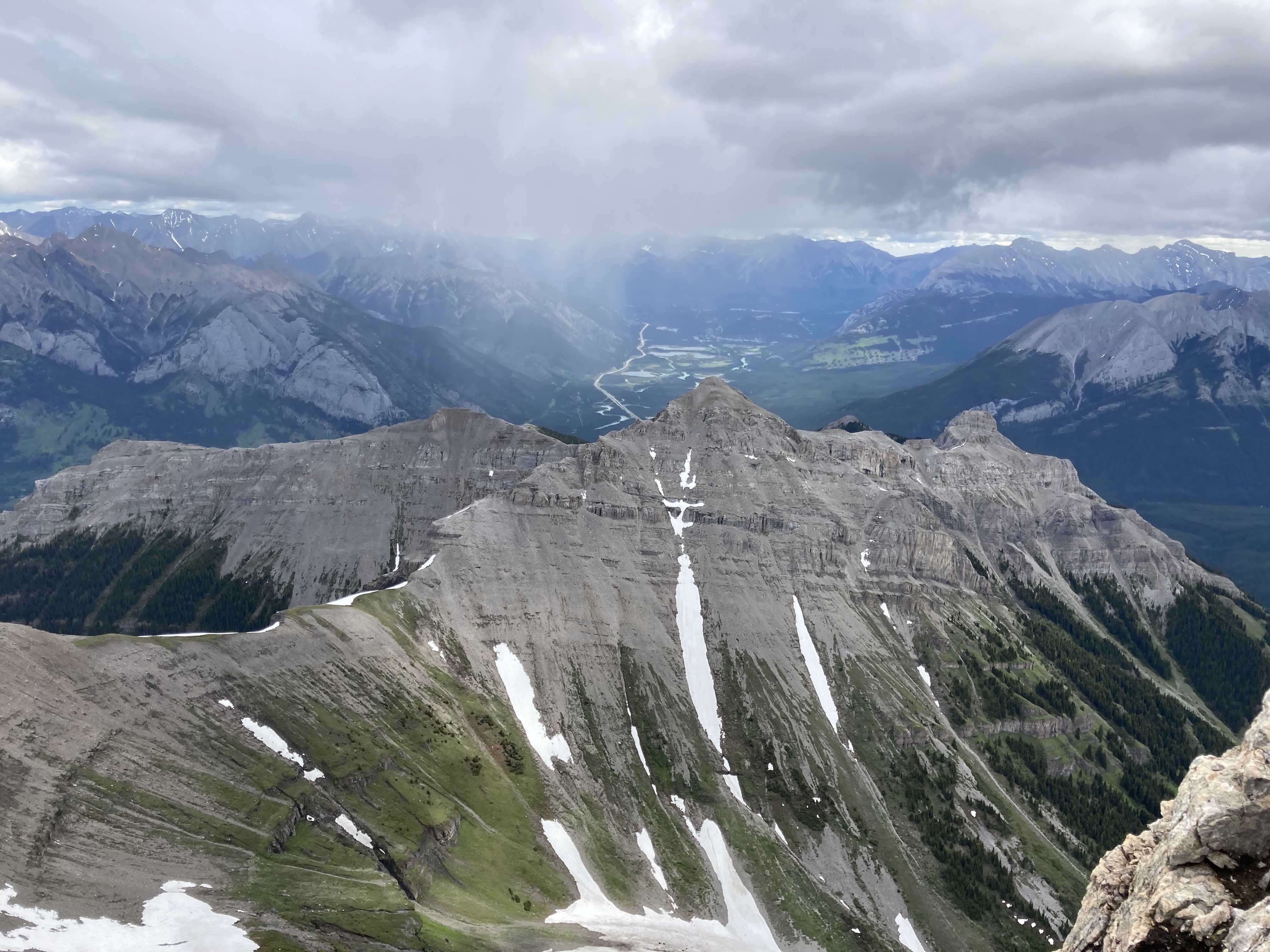
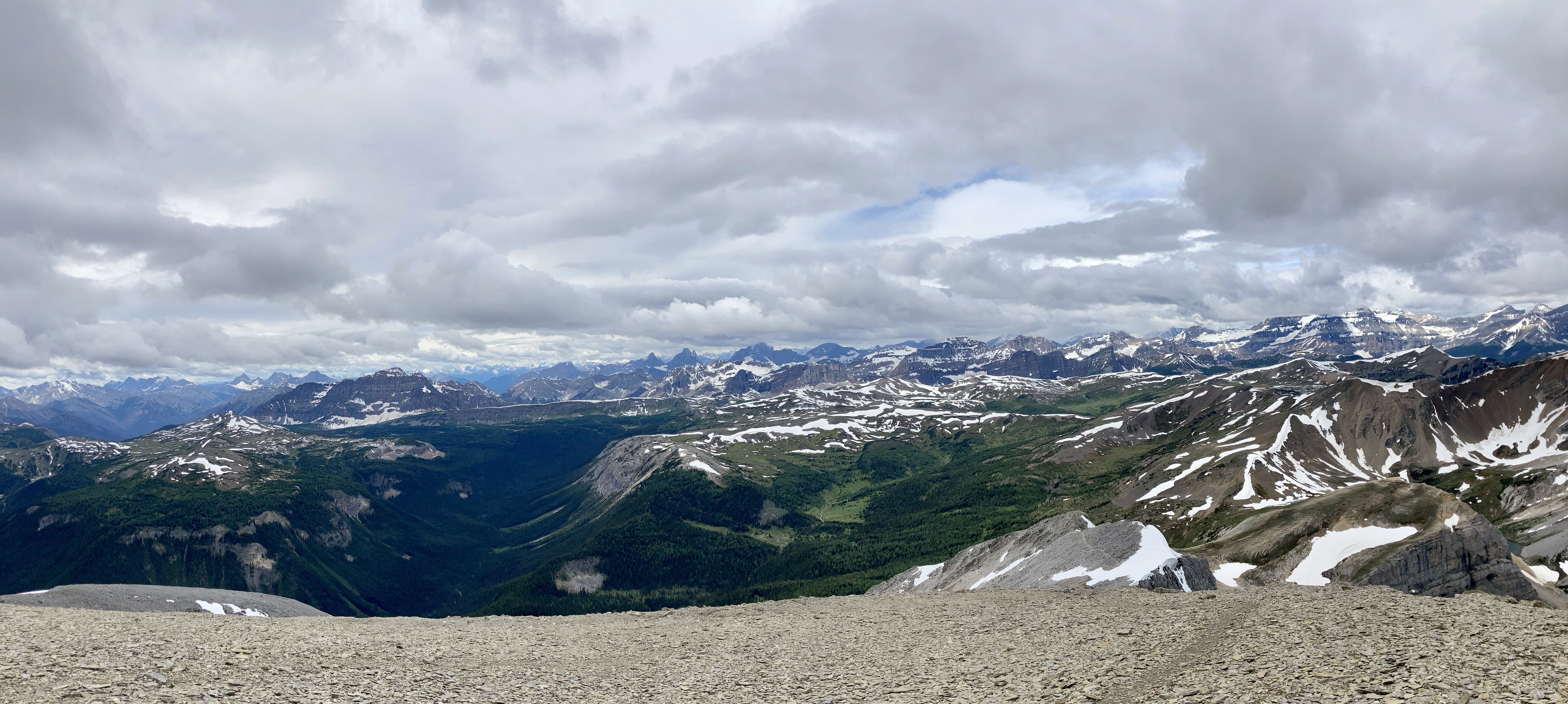
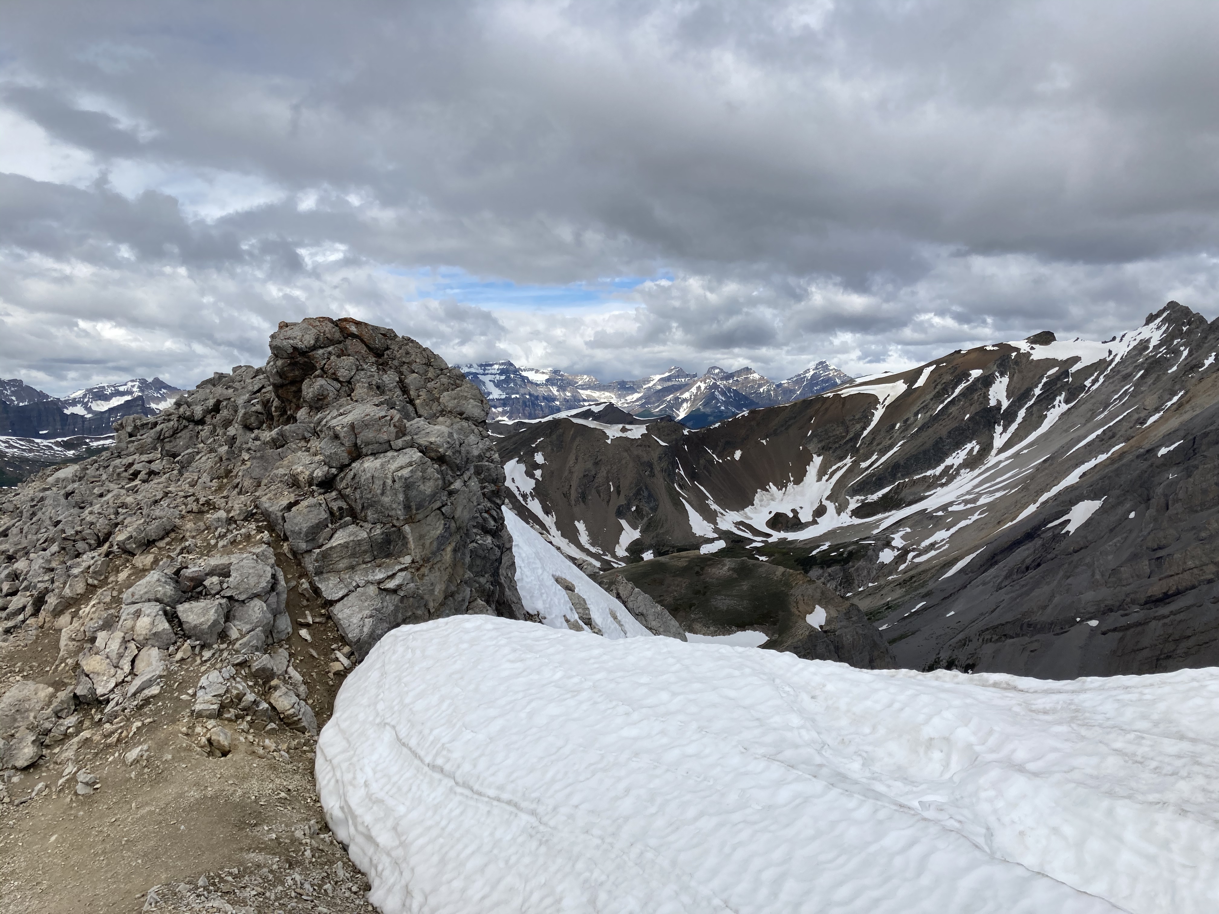
Route overview, looking east. Harvey Lake in Harvey Pass is bottom-centre.Mount Bourgeau as seen from my hotel.Early morning starts are the best.A little further along the trail, looking back.The second creek crossing, below a cascade descending from Lake Bourgeau’s basin. The flow was pretty brisk, and the water was actually fairly deep. Hiking poles were very handy here.Nearly to the lake. Mount Bourgeau’s cliffs are straight ahead. The way to Harvey Pass is the notch on the right.Lake Bourgeau.One of the many little waterfalls among the cliffs.Lots of marmots can be seen in the rocks around the lake.Past the lake now, climbing to the next hanging valley.A look back down toward the lake, and Mount Bougeau’s summit.After the initial climb, the trail goes past this little lake and you can see it continuing up the low headwall beyond.At the top of the headwall, looking southeast where the trail continues up to Harvey Pass. Several little streams trickled around in this meadow from little ponds and tarns.Looking north from the same spot. A little creek was running down from yet another distinct level of the valley. There wasn’t any standing water up there, just rocky ground with runoff going under it.Looking back at the meadow from where the trail starts the final ascent to Harvey Pass.Harvey Lake and Harvey Pass. Mount Assiniboine in the distance. The natural framing of the scenery is uncanny. I took this shot as I descended. When I was ascending, the clouds obscured Assiniboine and I was completely oblivious that it was out there.Telephoto shot of Mount Assiniboine.Harvey Pass panorama.Telephoto shot of a peak in the distance. The wind was blowing right to left, and clouds were being generated along the ridge, drifting continuously away and obscuring Mount Assiniboine (the bottom part of which is visible to the left).From Harvey Pass to the summit, the way is obvious. There’s a boot-beaten trail that’s visible the whole way up. Aside from a couple of rubbly areas it’s just a steep hike. It was roughly 50 minutes from here to the summit, moving briskly.Some cornices along the way. Looking to the right during the climb – buildings and ski runs of the Sunshine Village ski area are visible.This mountain adventure is brought to you by Superior Propane.The summit marker. The deceptively inviting snow beyond it is a giant cornice.I traversed over a bit and looked back. See? Cornice.A short distance left of the summit marker, I found a rocky perch that allowed a view all the way back down to the lake, the trail, the meadow and the pass.A narrower view. The big peaks in the distance are part of the continental divide. The Stanley Glacier trail, where I’d been the day before, would be on the opposite slopes.Telephoto view of the trail ascending to the first little lake and beyond.Black Brett and Mount Brett.Summit panorama looking west.The northeast spur of Mount Bourgeau. Rain is falling in the valley beyond. The Banff townsite is in the distance.Looking east across the Bow Valley.The clouds very stubbornly wouldn’t move off Assiniboine while I was on the summit, but I could get a good feel for the smaller peaks surrounding the 3618 m monster.Another panorama looking west as I descended.Yet another panorama on the descent. The clouds thinned somewhat. Assiniboine is mostly visible in the far background on the left. The bigger peak in the background at centre-right is (I think) The Monarch. Sunshine Village is across the valley.Great snow and rock scenery.The clouds shifted again. Time for another panorama.Almost back down to the pass, peeking over the edge at the trail ascending to the 2nd set of lakes.A last look at the summit at day’s end. There’s a speck visible against the white sky almost dead centre (click and you get a full-res image you can zoom in on) – a gentleman who I passed on my way down. I had quite lovely solitude, which is unusual for this trail. The crowds are about 45 minutes behind him.


Very nice photos and illustrations, Par.
Thanks.
Bal
LikeLike
It’s a great hike that we haven’t done in years, this is a great reminder.
LikeLike