July 2, 2019 with August 5, 2023 update. A short hike to a tiny blue lake in the Castle Wilderness, with a return via Haig Ridge.
- Region: Castle Mountain Resort. Traditional territory of the Tsuu T’ina, Ktunaxa, and Blackfoot First Nations
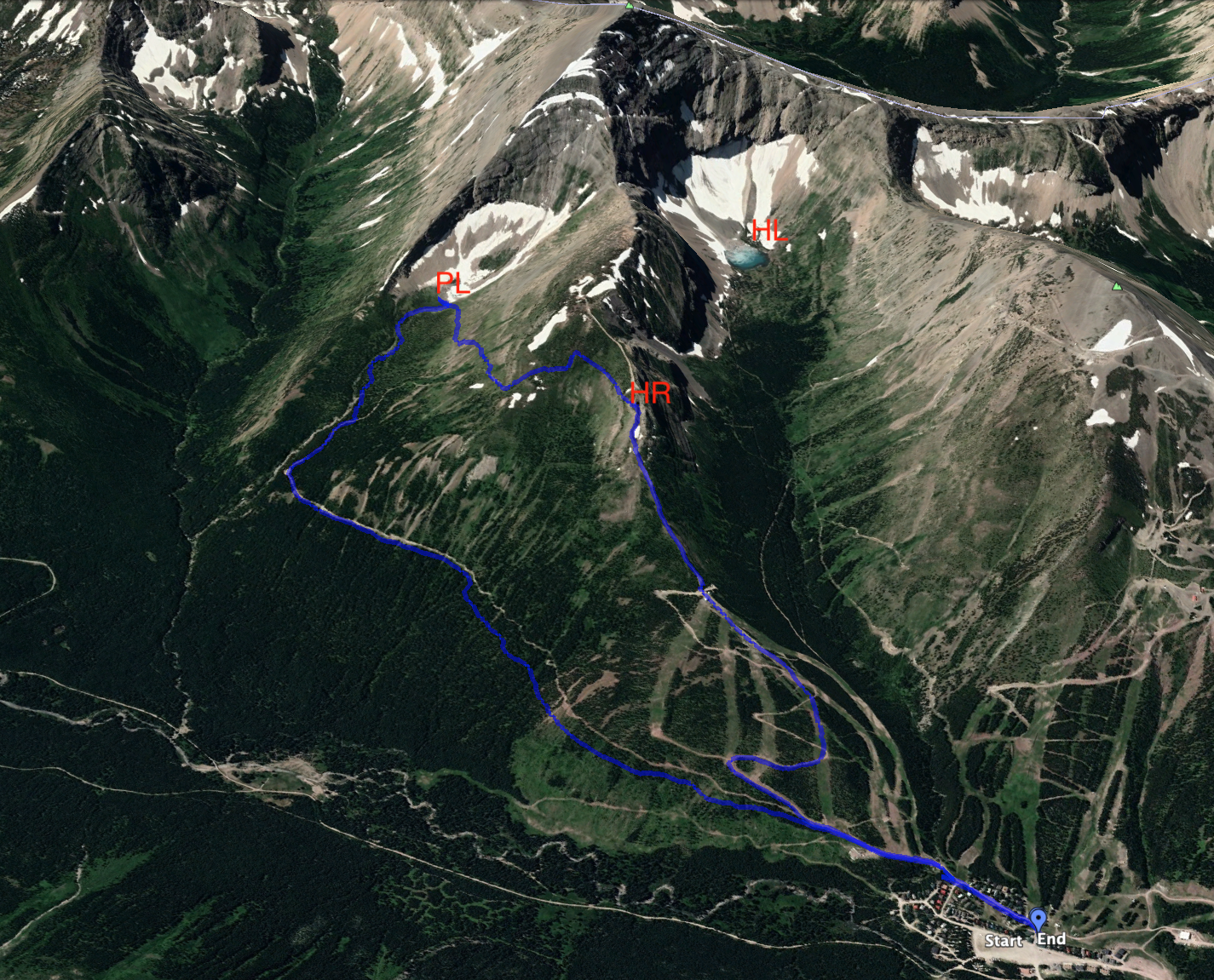
- Distance: 4.9 km one-way to the lake, 9.8 km loop with return via the ridge (quite a coincidence)
- Total Ascent: 575 m to the lake, 807 m if returning by climbing the ridge
- Elevation of Objective: 1838 m
- Total Time: 1h 14m one-way to the lake, 3h 23m for loop route with return via Haig Ridge
- Safety and Disclaimer
It was another cloudy day with rain in the forecast, so I decided to return to the Castle Mountain Resort and explore another one of their newly marked-out trails. Having enjoyed exploring Haig Lake last week, this time I decided to go to Paradise Lake.
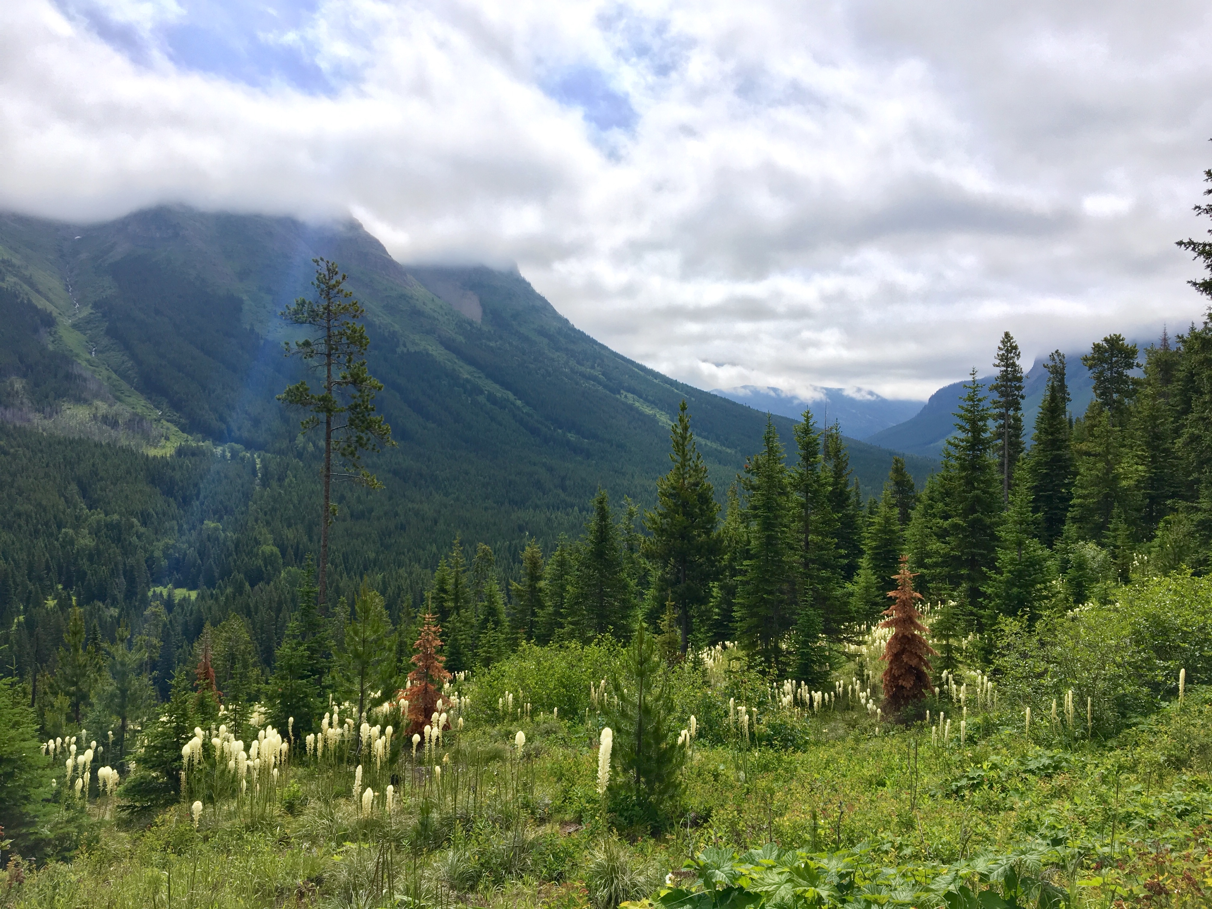
The trailhead is next to the parking lot at the Castle Mountain Ski resort near Pincher Creek, Alberta. They have signs set up in the main area, in between the ski lodge and the pub. The well-signed trail leaves the village heading south. The first 3.4 km goes past the foot of Haig Ridge, gently ascending on a long traverse, hooking west now and then. The trail is as obvious as it gets, being a wide, rough road. Here and there I got a clear view down the West Castle Valley, but this wasn’t a particularly scenic approach.
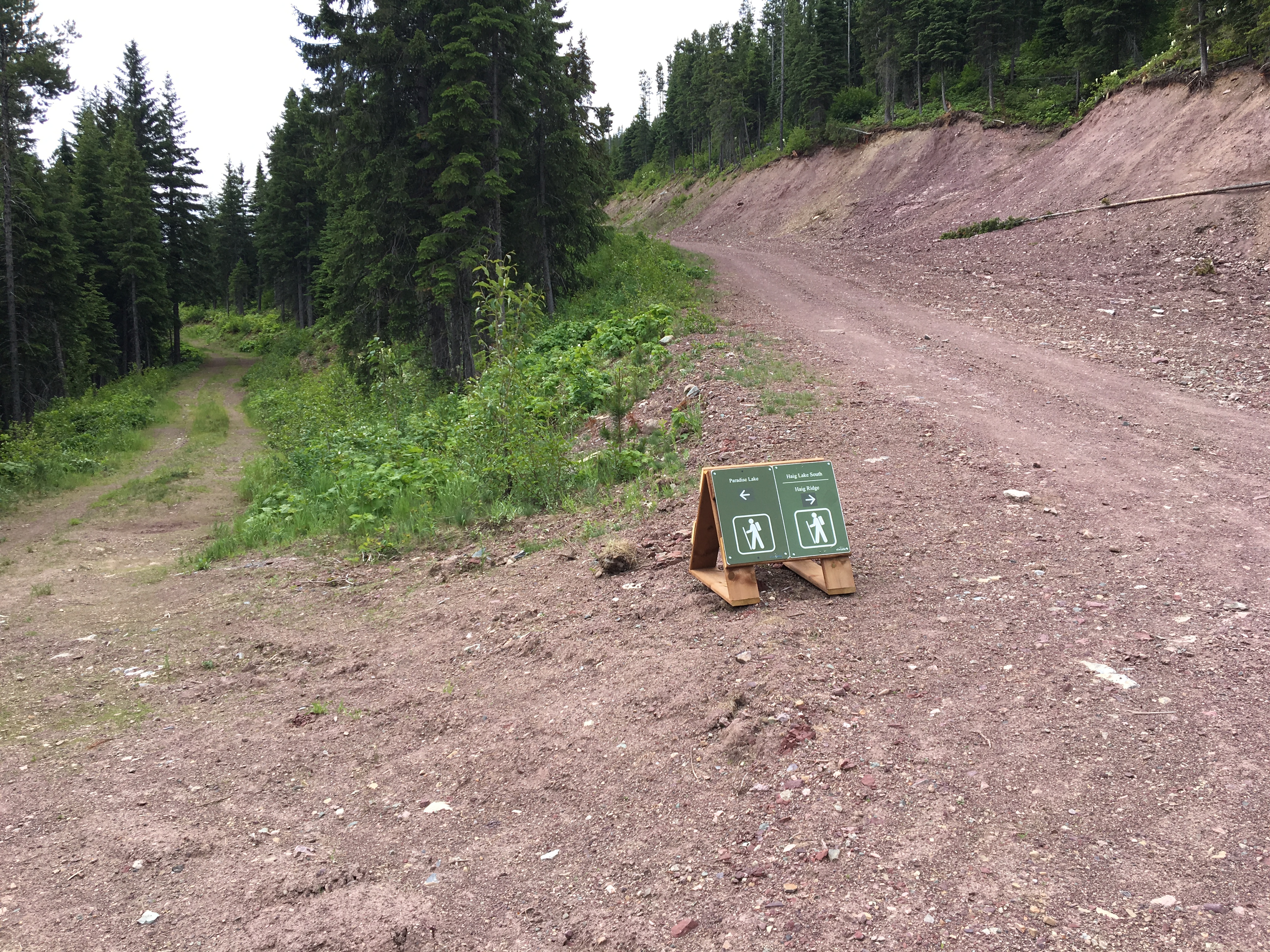
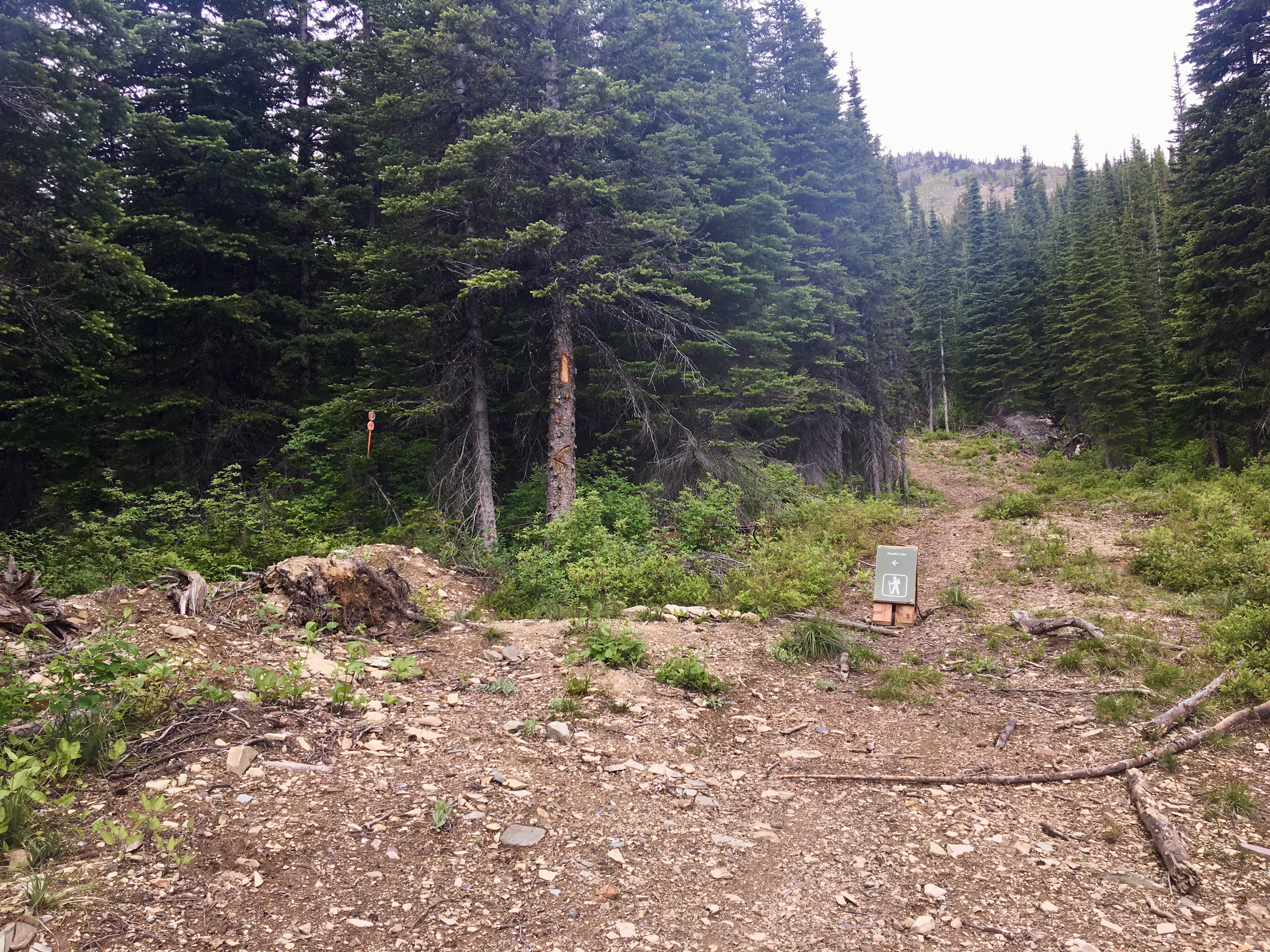
At 3.4 km the trail takes a hard right turn and begins a steep climb for a little under a kilometre. Eventually, a sign directs you to the left, off the wide road and onto a narrow forest trail. (2023 update: The sign may or may not be there. Right now there’s a cairn and an arrowhead carved into the tree next to it) After a short time in the woods, the trail emerges in a cirque under the eastern face of Mount Haig. A sign makes the end of the maintained trail, but trail markers continue and soon enough Paradise Lake comes into view.
The lake is a small blue tarn, with steep banks all around except on the south side. A large pile of rubble rises above the eastern bank with a distinctive white boulder at the top. I climbed up there to take in the views and eat my lunch. Moving fairly briskly, I reached this point in 1 hour and 14 minutes.
After enjoying the seclusion for a short time, I decided to make my way back. Returning via the same trail would have been easy and quick (and I’d recommend it for most people), but I decided to get a bit more exercise and adventure by returning via Haig Ridge.
Haig Ridge looms north of the lake. There’s a trail to the top of it from the village, which follows (I think) a Cat Skiing road to the ridge high-point. There’s no trail from Paradise Lake, but the way looked obvious enough. I ascended about 200m while traversing east and hooking to the north around a blunt spur of the main ridge. There was a wide valley beyond there, descending to the east. I proceeded north, staying high on the slope to avoid descending into the valley. The main part of Haig Ridge was straight ahead. I bumbled in some vegetation, likely bushwhacking more than I needed to, then gained the ridge.
Once up on the ridge, I followed the road down to the top of the Huckleberry ski lift, From there, I followed the ski runs down. Returning by this route got me above the trees, so the views were better than during my trip to the lake. I didn’t encounter any dangerous terrain, but some of the bushwhacking on steep slopes was tricky. What was interesting was that although I wasn’t near any discernible trail, I came across a lot of deadfall that had clearly been cut by chainsaws.
Click on the pictures below to access full-sized images.


That looks like a great walk.
LikeLiked by 1 person