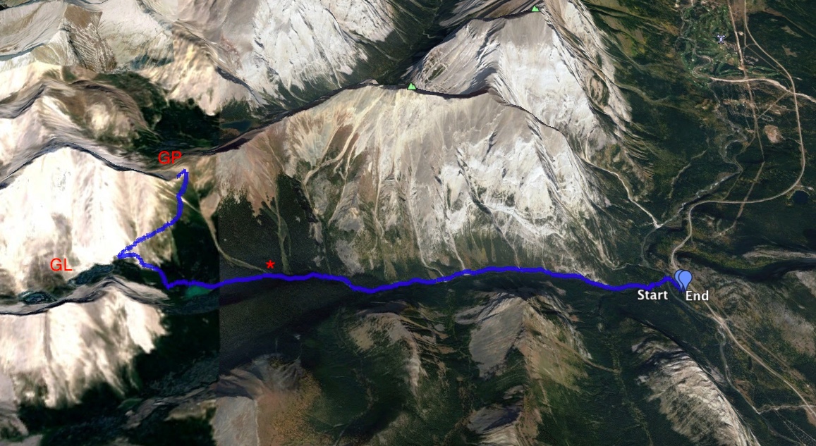
August 22, 2018. A long hike in smoky weather to a picturesque pass in Kananaskis Country.
- Distance: 19.2 km round trip
- Total ascent: 991 m
- Elevation of objective: 2443 m
- Hiking time: 5h 49m
I had a free day to go hiking without the kids during our Kananaskis vacation, so I decided to explore the Galatea trail and head up to Guinn’s Pass. The Galatea trail follows Galatea Creek up a valley to Lillian Lake. It then continues and climbs out of the trees to the 2 Galatea Lakes. A branch trail once departed from the main trail before it reached Lillian Lake and headed up to Guinn’s Pass. The 2013 floods wreaked havoc on the Galatea trail, apparently destroying many of the small bridges crossing the creek along the route and leaving debris strewn everywhere. During the rehabilitation of the route one of the changes made was a closure of the old trail to Guinn’s Pass and the creation of a new one, this one departing from the main trail beyond Lillian Lake and making a picturesque, ascending traverse up to the pass.
The Galatea trailhead is accessed via Hwy 40. There’s a clearly signed turn-off to the parking area a short distance south of the Mount Kidd RV Park (ask Google to drop a pin here: 50.861552, -115.175732). The entire route is along a very good trail with ample signage.
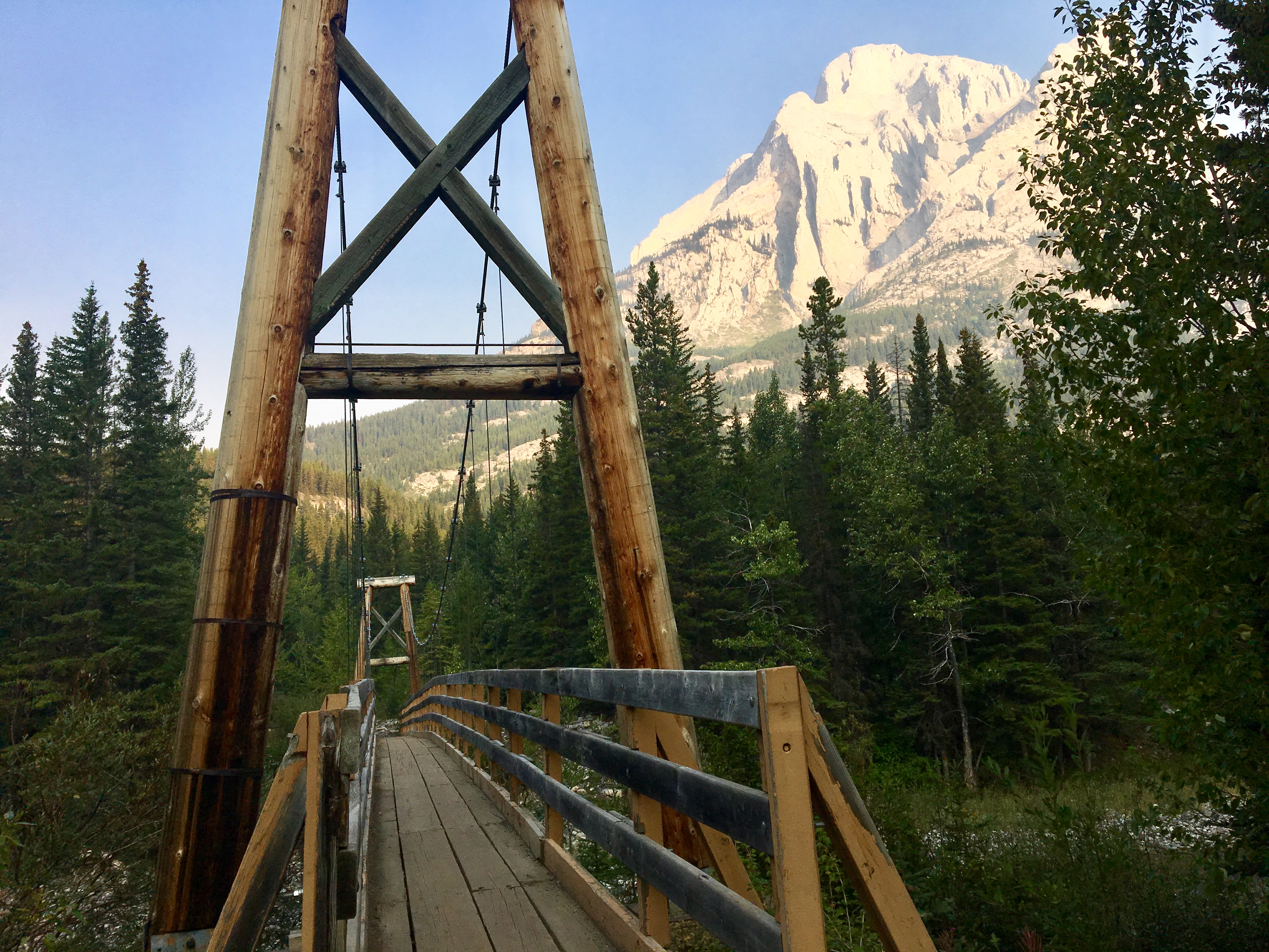
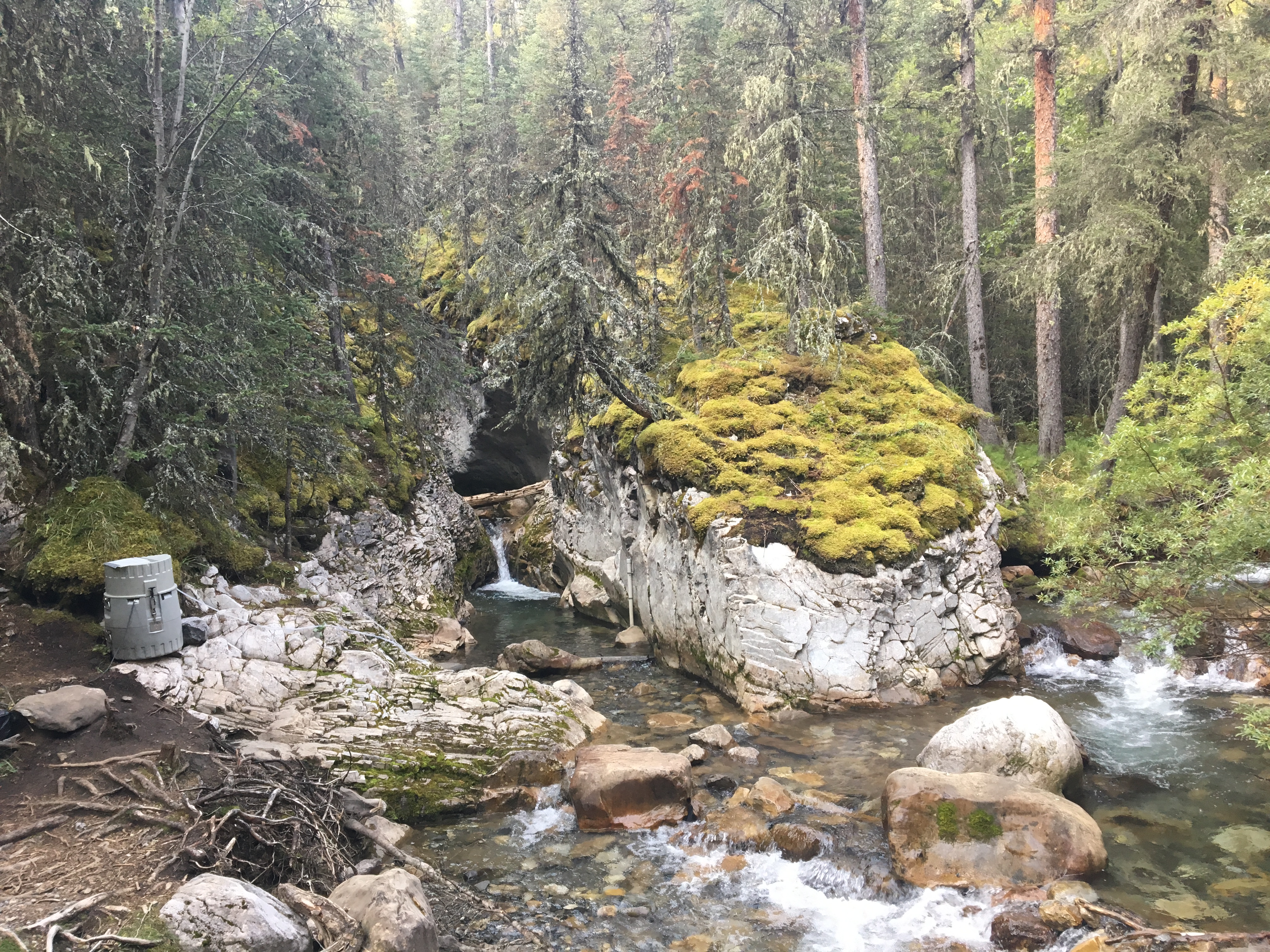
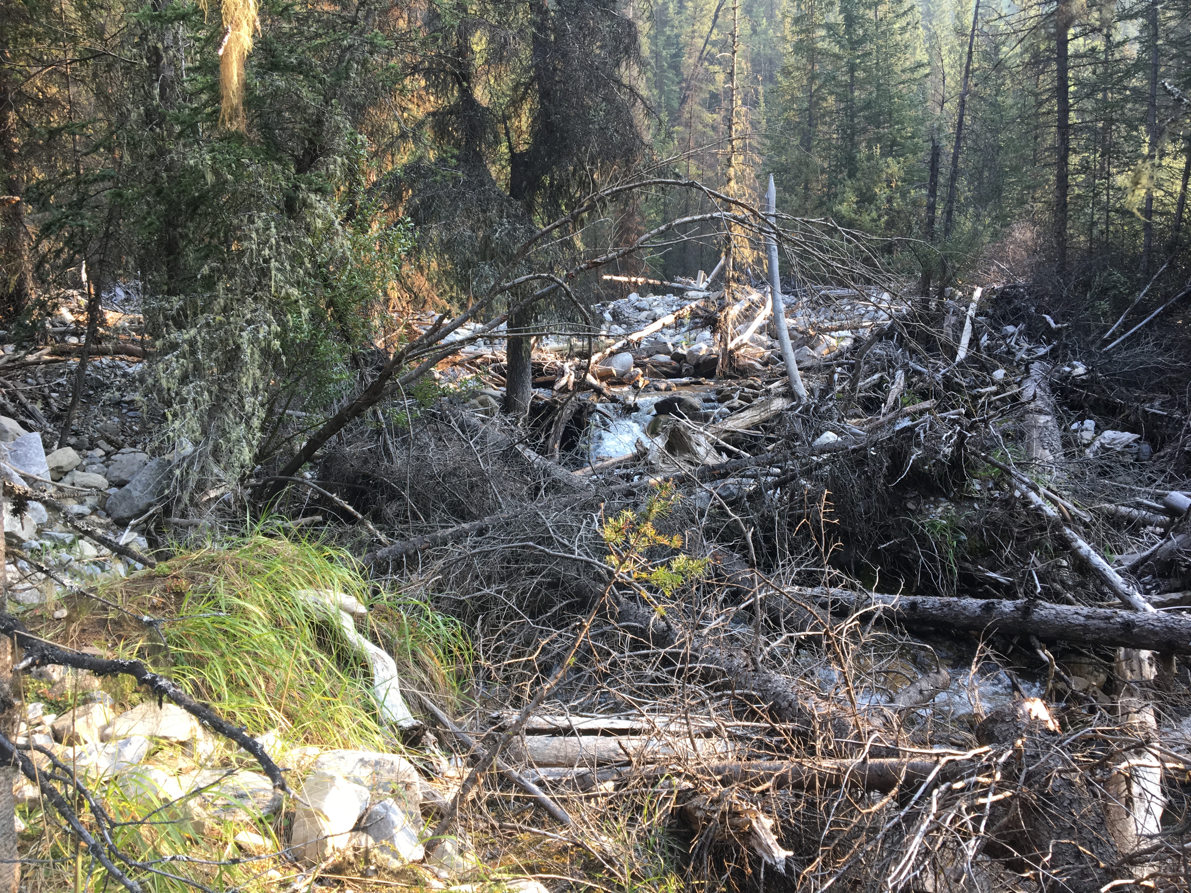
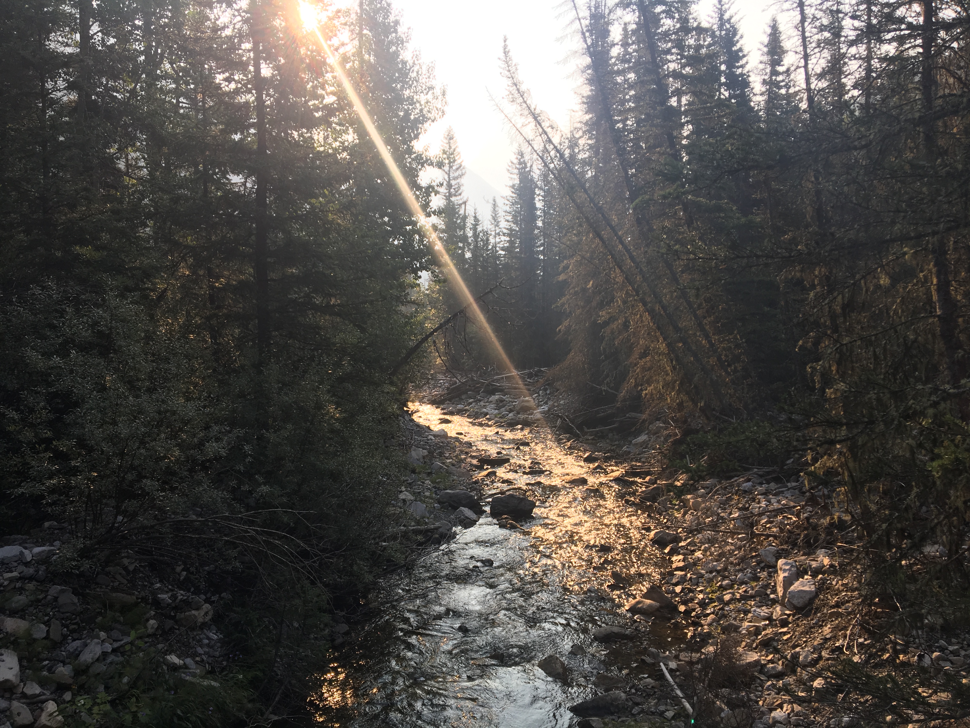
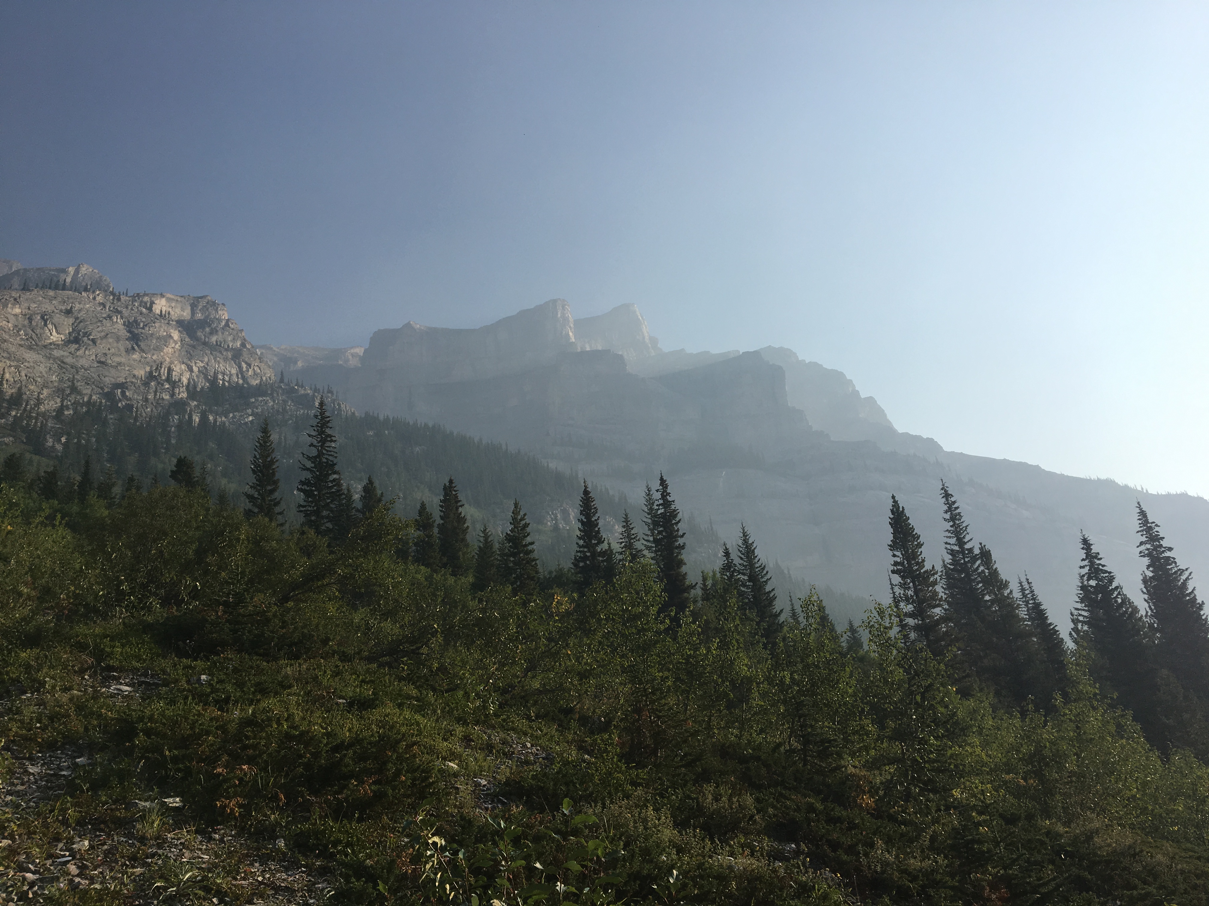
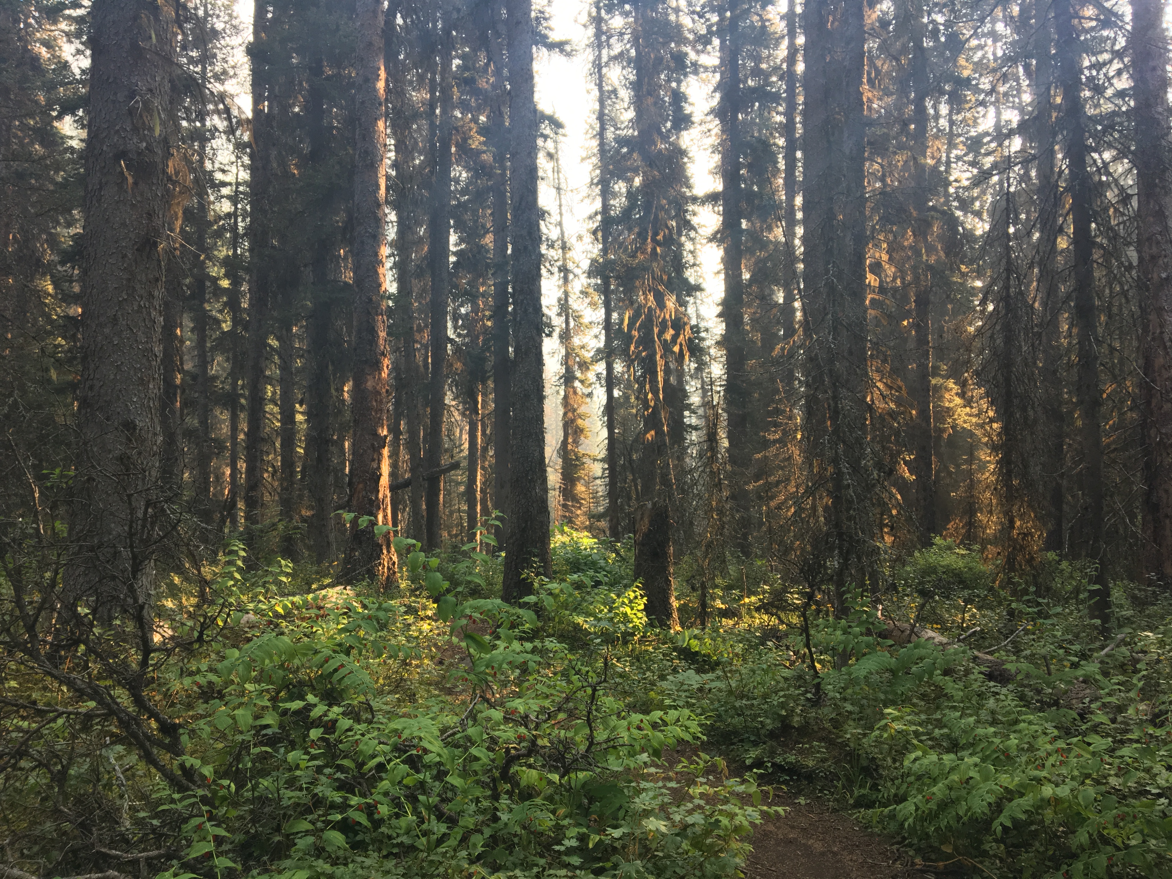
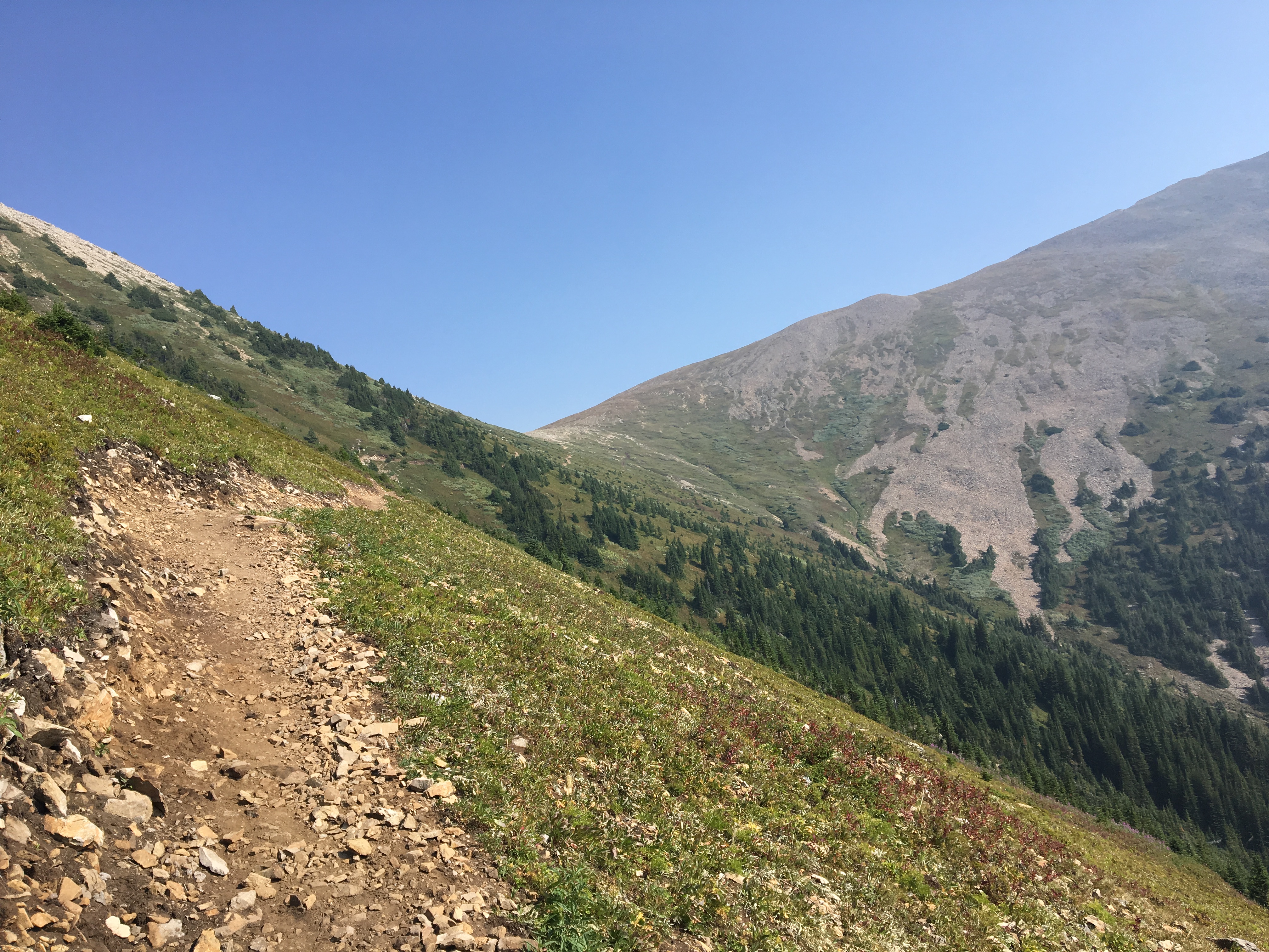
Off the start, there’s a descent from the parking area down to creek level. After crossing a suspension bridge, the trail sets off into the trees, occasionally crossing back and forth over the creek on small, sturdy bridges. There are still debris piles everywhere which give some lasting idea of the destruction in 2013. The southern spur of Mount Kidd is visible from time-to-time through the trees. This was an impressive sight, even with smoke shrouding the view somewhat. Most of the interest was from the up-close terrain, though. Creek crossings are always fun.
After a little under 5km, the trail starts to climb more steeply, but it remains in the trees. Before reaching Lillian Lake I encountered a sign the near turn-off to the old Guinn’s Pass trail notifying of its closure. 6.1 km from the parking area, the trail arrives at Lillian Lake. It took me about 1h 45m to get to this point.
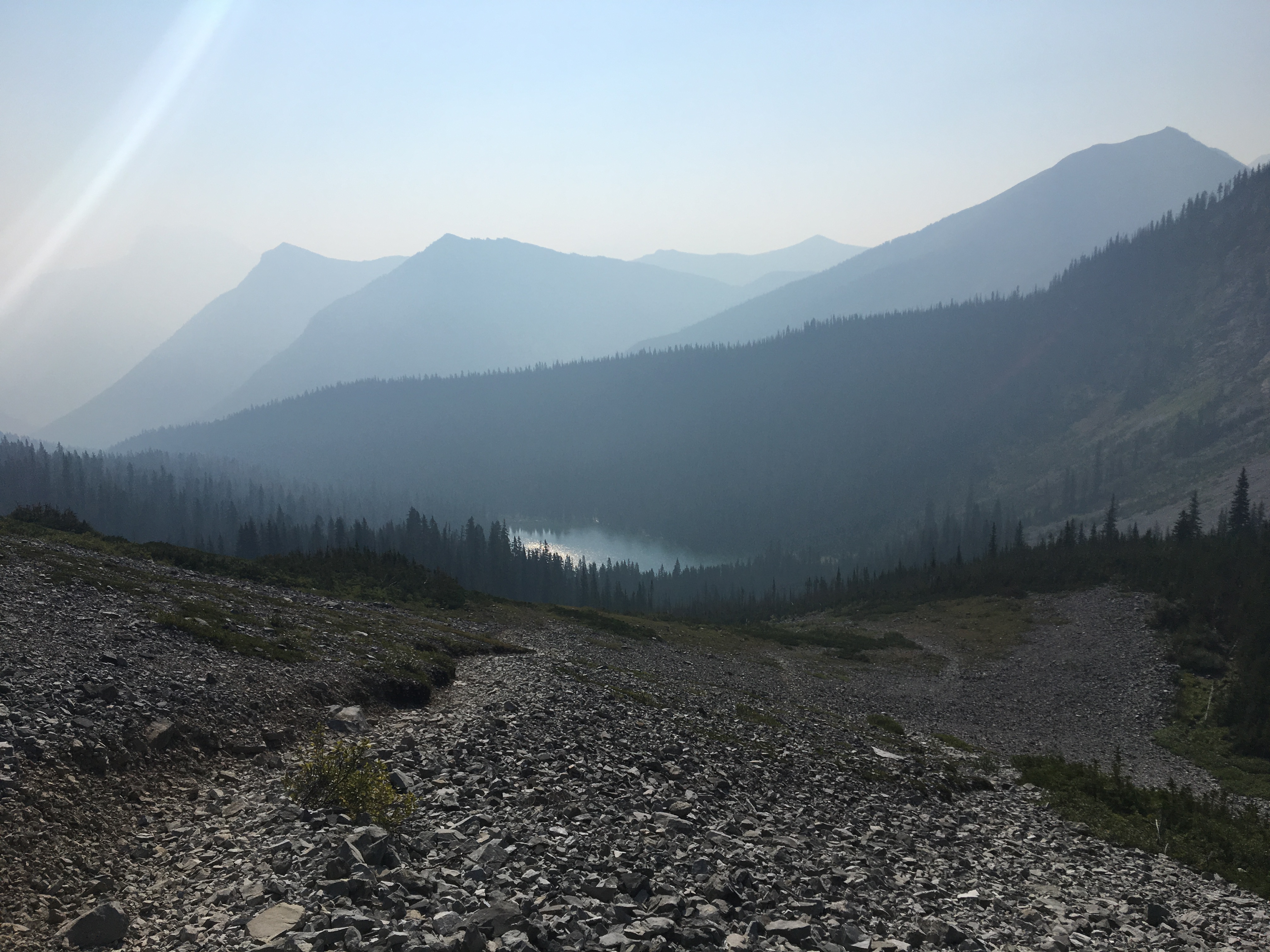
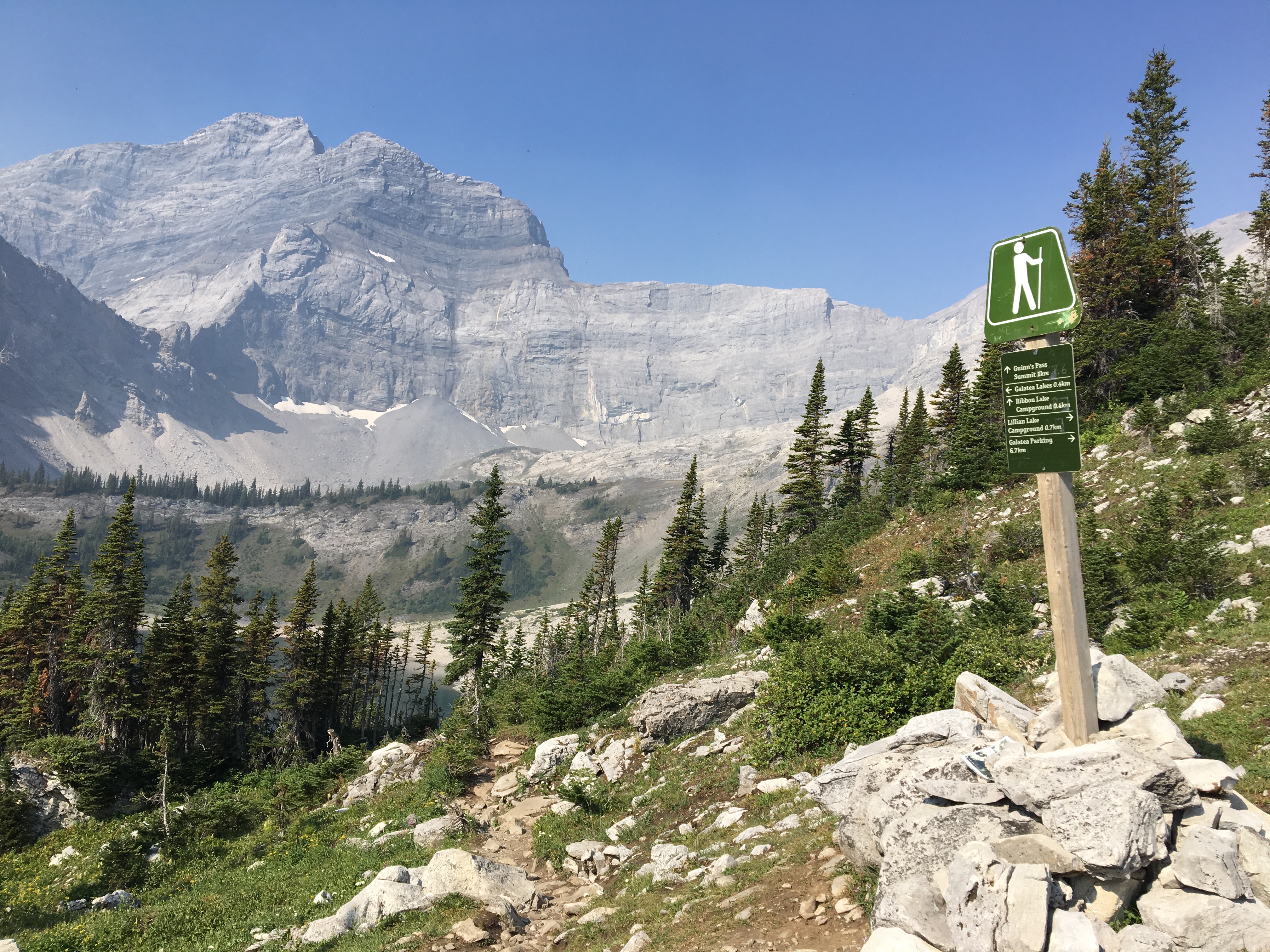
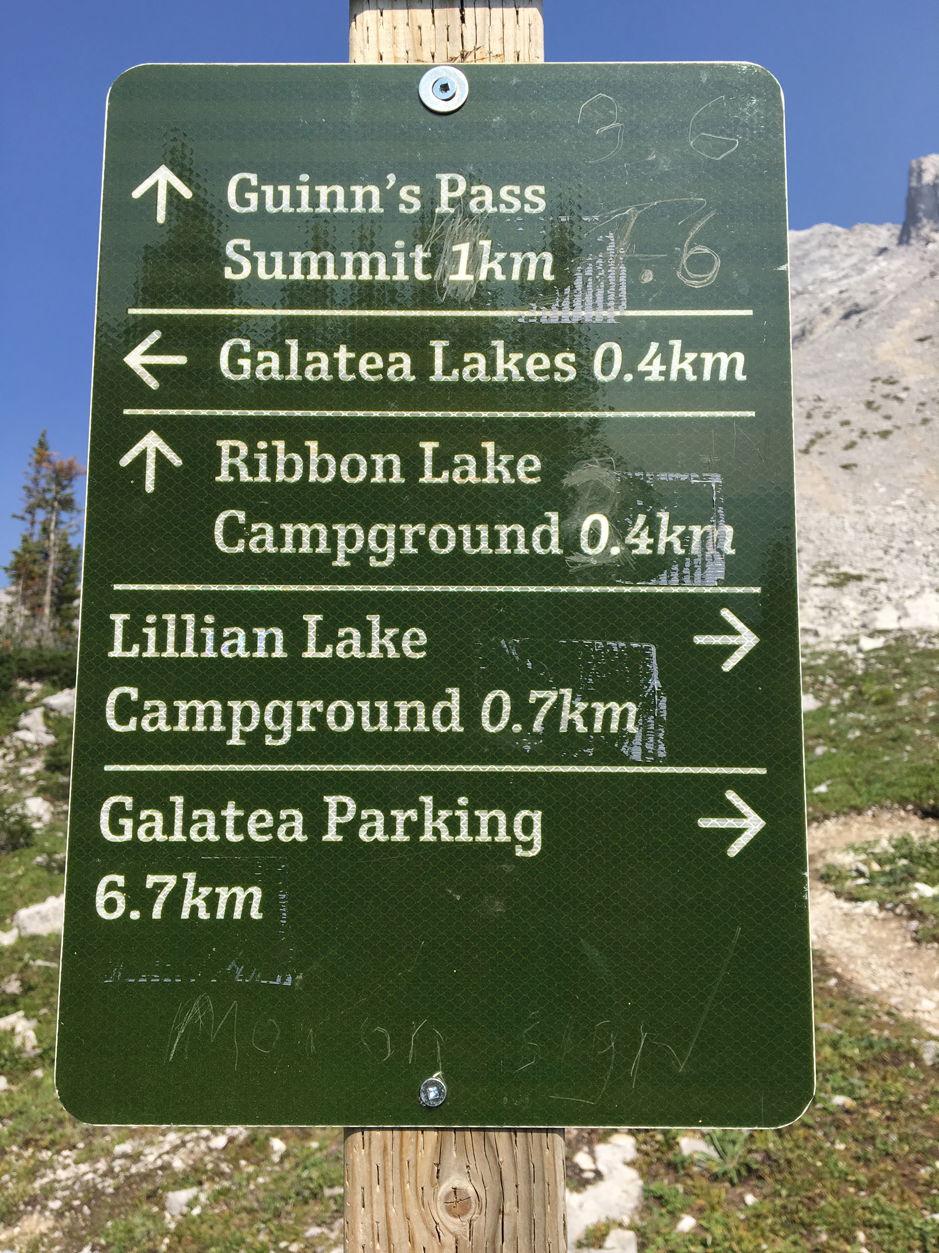
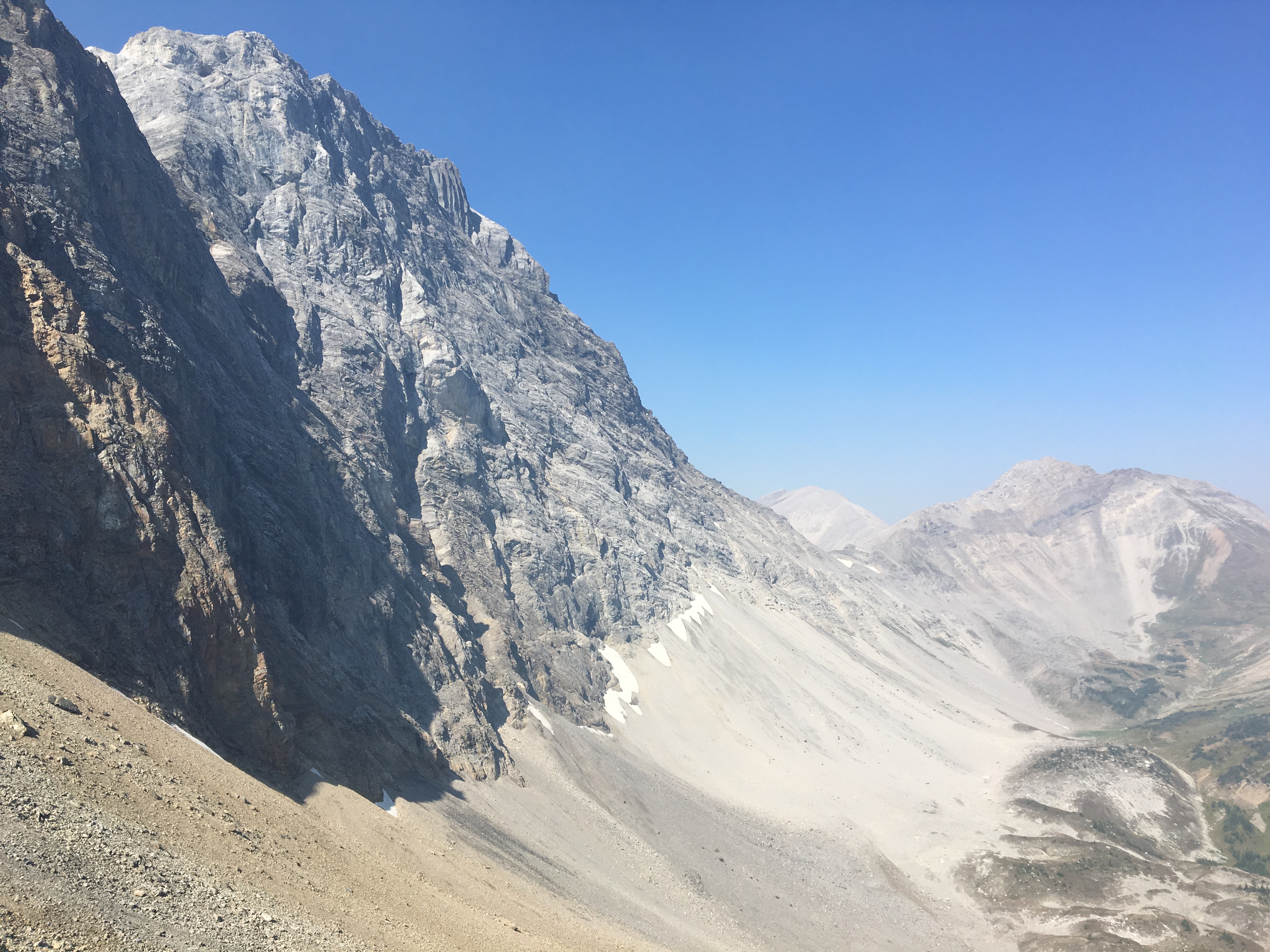
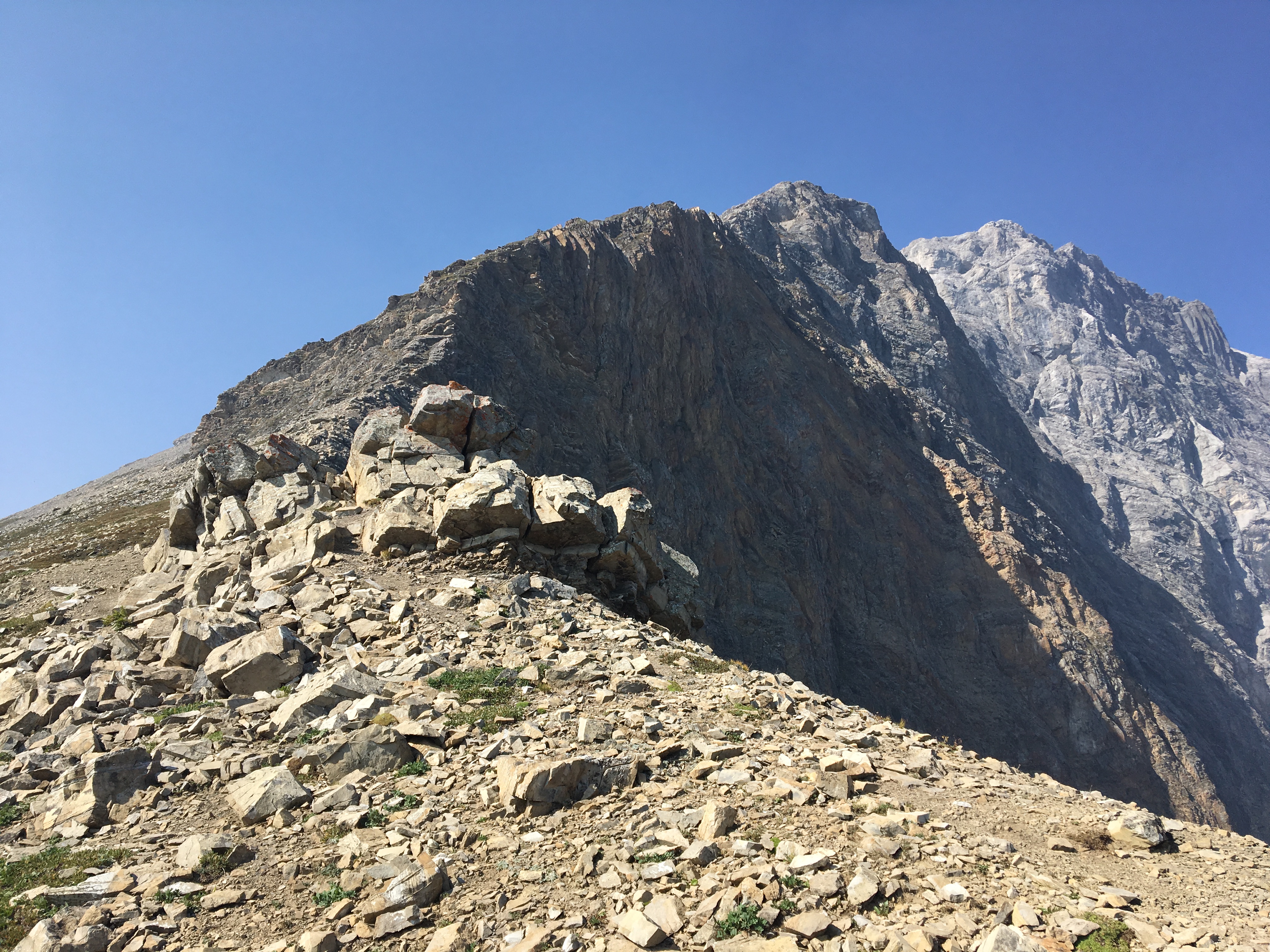
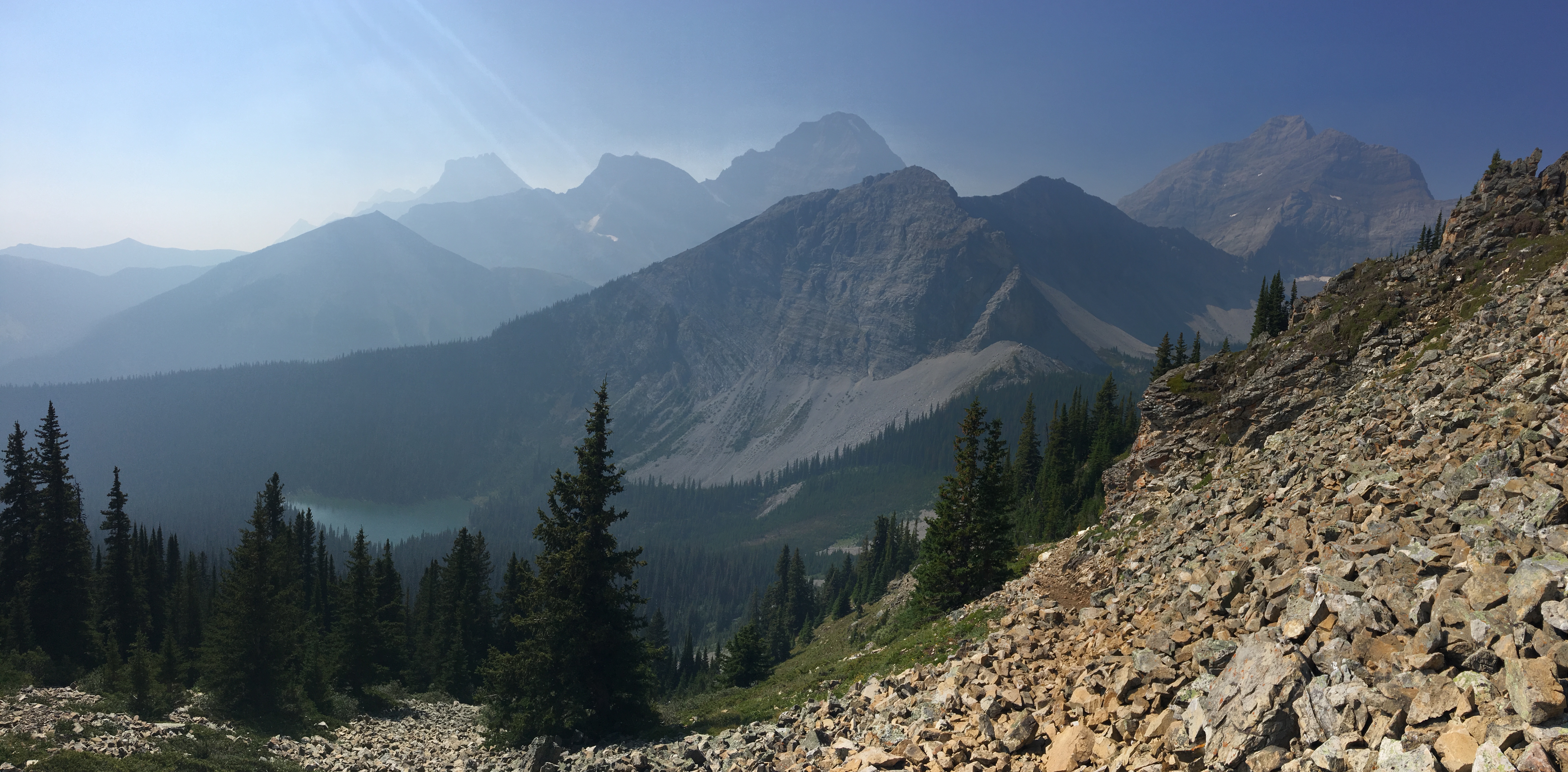
Lillian Lake is closely surrounded by trees, so the arrival there is rather sudden – you’re suddenly beside a lake. Views are initially a little hard to get because of the trees, but eventually you can get a good look at the lake from the trail. Lillian lake is a tranquil green colour, and sits below the rocky face of The Tower’s eastern spur (The Tower is the unofficial name of a 3117 meter peak farther to the west). A campground sits at the western edge, and the lake seems to be popular with anglers. Once the trail reaches the west end of the lake, there will be signs directing you towards Galatea Lakes and Guinn’s Pass. The distance information on these signs (particularly higher up the trail) may not be entirely accurate. There’s already some graffiti on them from irate hikers.
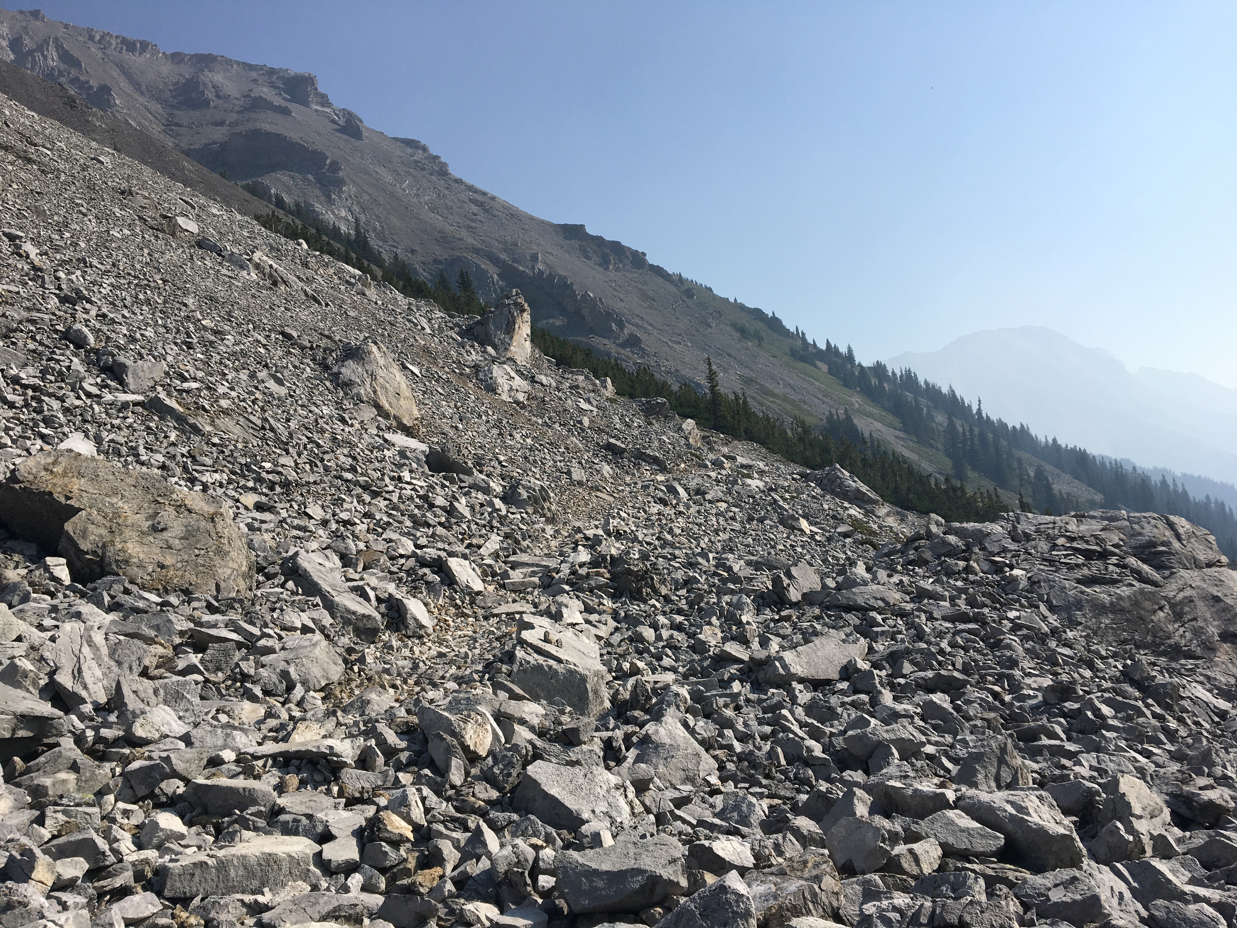
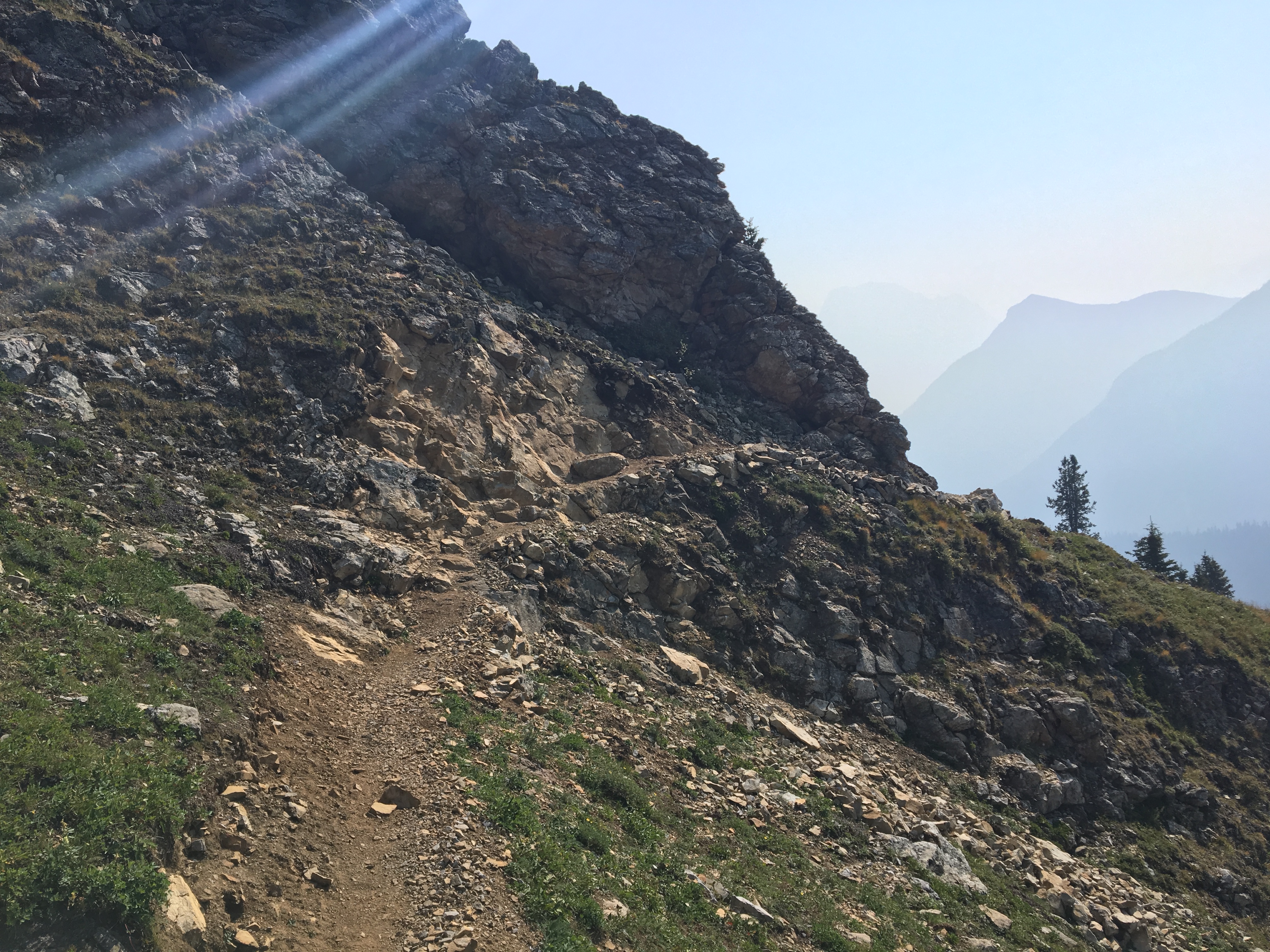
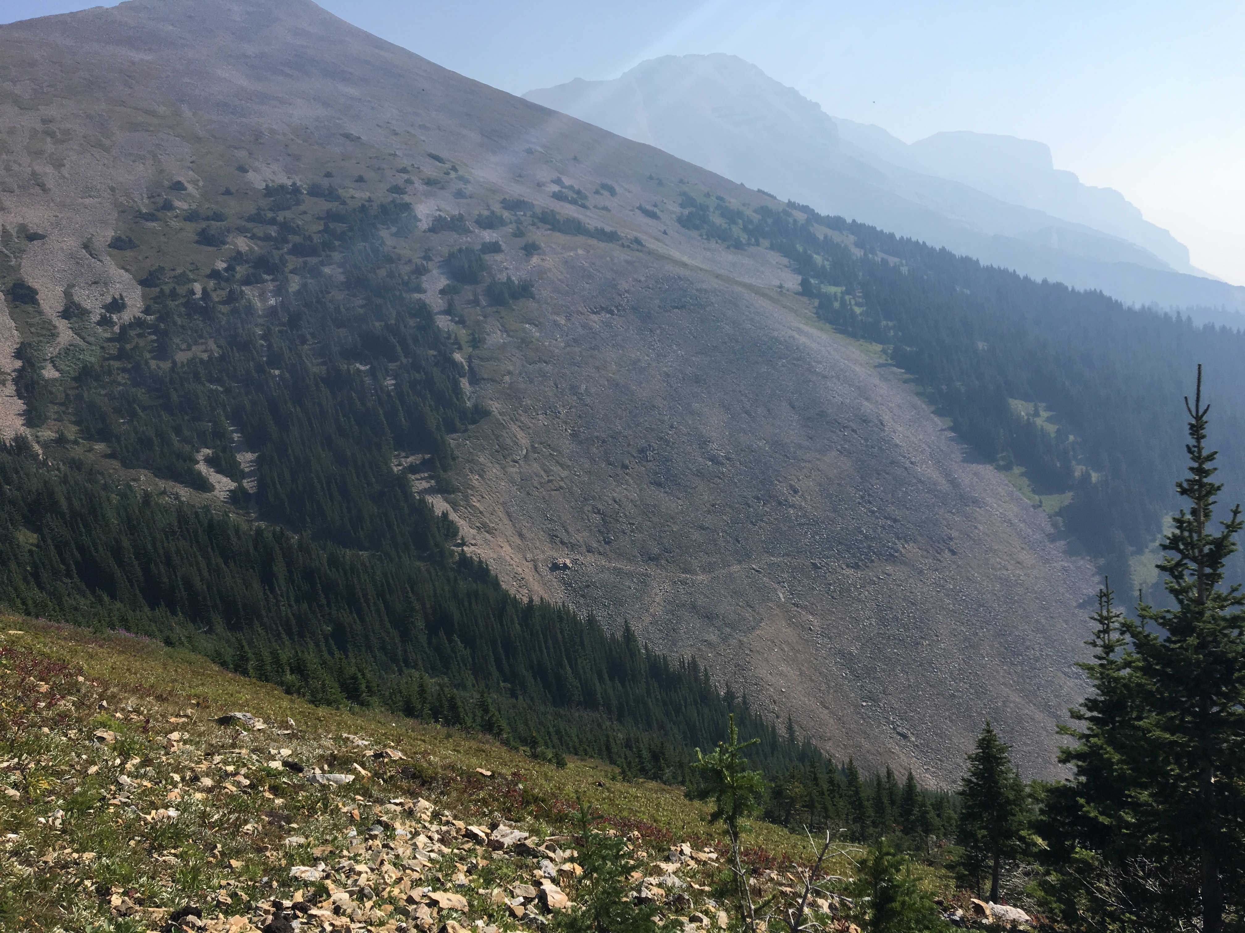
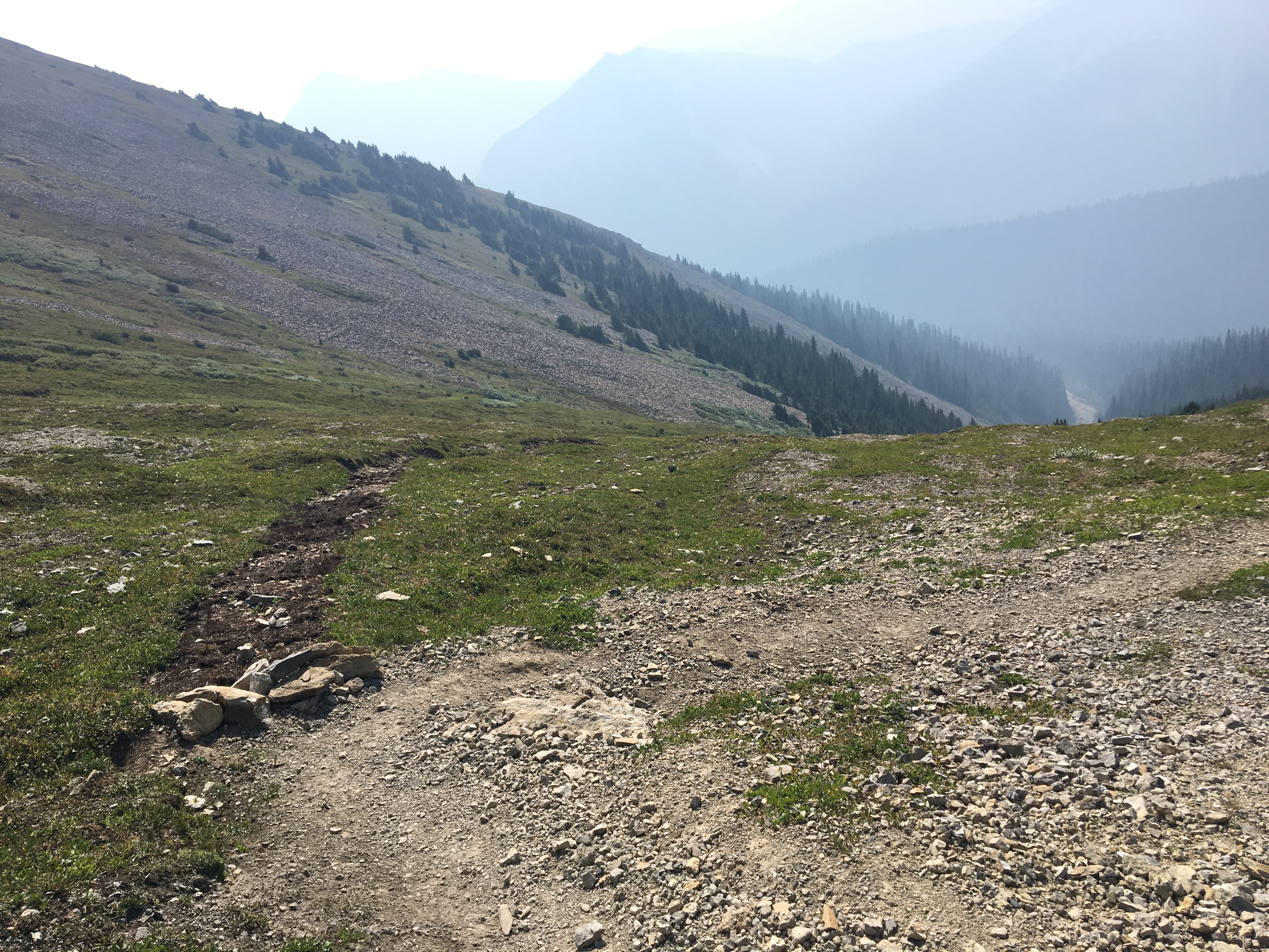
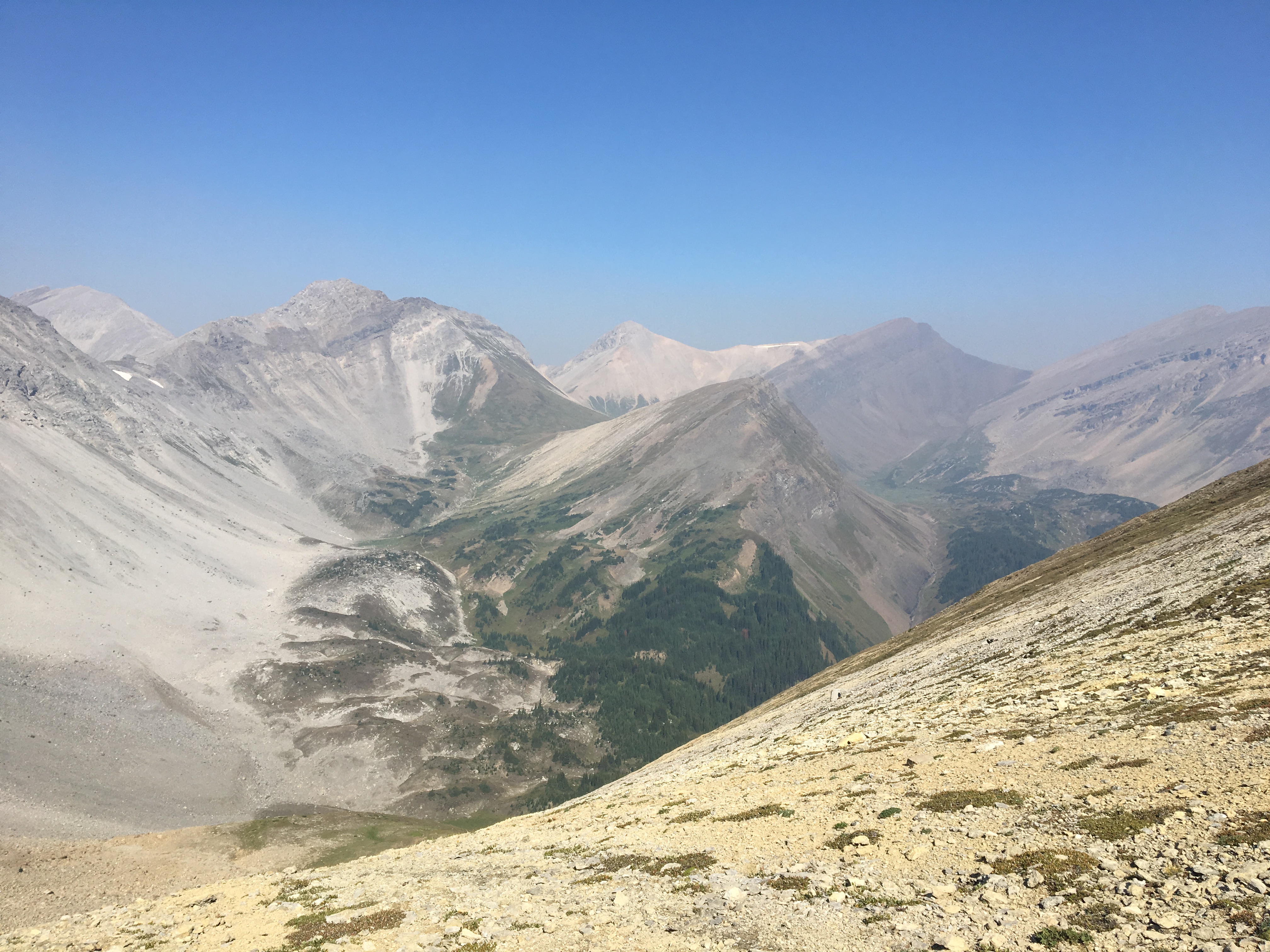
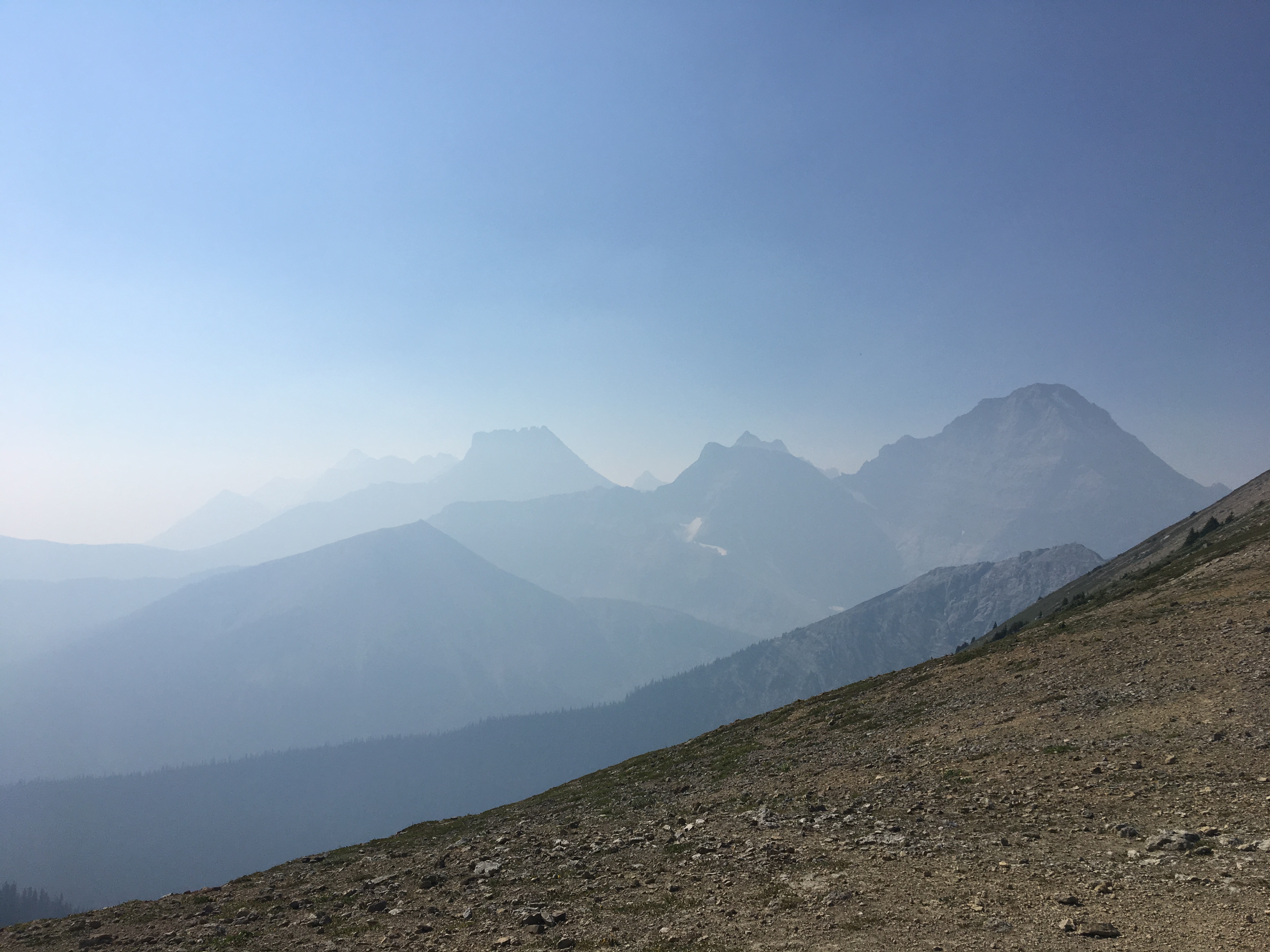
Beyond Lillian Lake the trail climbs even more steeply and finally breaks free of the trees, proceeding over a rubble field towards the Galatea Lakes. Just as lower Galatea Lake comes into view, the turn-off to Guinn’s Pass is reached. The Guinn’s Pass trail abruptly switches back from the Galatea trail and starts a prolonged ascending traverse heading east towards Guinn’s Pass. Views start opening up quickly. Unfortunately, on the day of my hike, the smoke was obscuring what must have been some stunning views to the south, east and west. Finally, the trail reaches the saddle of Guinn’s Pass. I climbed a short distance up the ridge line to the west of the saddle and sat down a rocky outcropping to eat lunch. I was 9.6 km from the parking lot. Hiking time to that point was 2h 54m.
Even with the smoke obscuring distant views, I found this to be a worthwhile outing. As I climbed higher I very slowly made my way out of the thickest of the smoke, which was gratifying in and of itself. There are some options for extending this hike, either by climbing up either side of the saddle to the nearby high-points or by crossing the pass and descending to follow the trail as it carries on to Ribbon Lake with its backcountry campground. I had had enough of the smoke, though, so after my lunch I turned around and traced my steps back to the parking area.
Click on the pictures below for full-sized images.