August 21-25, 2026. Five days of meadows, valleys, and mountain passes at the southern border of Jasper National Park.
- Region: Jasper National Park. Traditional Territory of the Stoney Nakoda, Cree (Nêhiyawak), Secwépemc, and Dane-zaa peoples, as well as the Aseniwuche Winewak and Mountain Métis communities.
- Distance: 87 km
- Total Ascent: 2150 m
- Total Time: 5 days
- Safety and Disclaimer
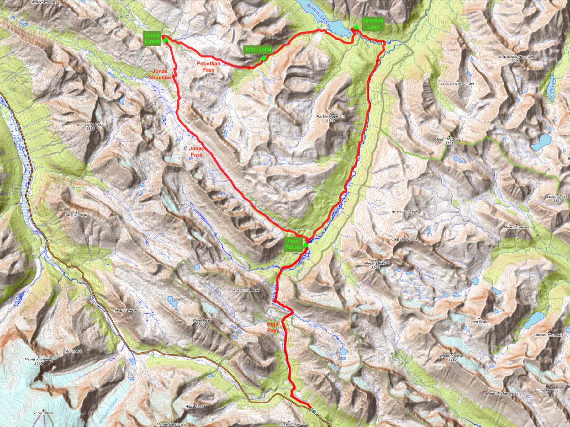
The Brazeau Loop sits at the southern border of Jasper National Park, just east of the famous Icefields Parkway. Typically hiked in 5 days, it is accessed by a trailhead at the north end of Banff National Park (Nigel Pass) but the vast majority of the route and all the campsites are in Jasper. The route is a “lollipop” (see map above) with some people hiking the loop portion clockwise and others counter-clockwise. Counter-clockwise is usually advised, which is the direction we went in. That direction puts the somewhat dull 20.8km portion of the journey between Four Points campground and Brazeau Lake on the 2nd day, saving the more spectacular views for the end. It also makes the elevation gain more gradual overall.
Most groups camp four nights, staying at Four Points, Brazeau Lake, Jonas Cutoff, then back at Four Points. However, between Brazeau Lake and Jonas Cutoff there’s a lovely and less-used campground called John-John Creek. We decided to spend one night there. That decision, combined with conditions favourable to hiking all the way out from Jonas Cutoff to the trailhead on our final day, meant that we camped the usual 4 nights but in an unusual pattern. Note that there are 2 other campsites: Boulder Creek and Brazeau River. They’re nearby Four Point and Brazeau Lake, respectively. They’re options to consider, especially if Four Points and Brazeau Lake are fully booked.
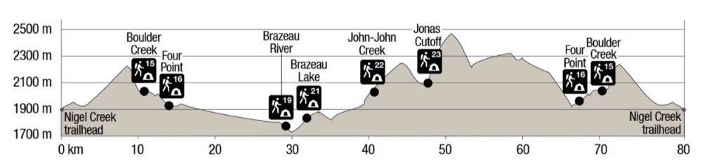
Day 1: Nigel Pass Trailhead to Four Point
- Distance: 15.1 km
- Elevation gain/loss: 419 m ascent; 370 m descent
- High Point: Boulder field just beyond Nigel Pass 2227 m
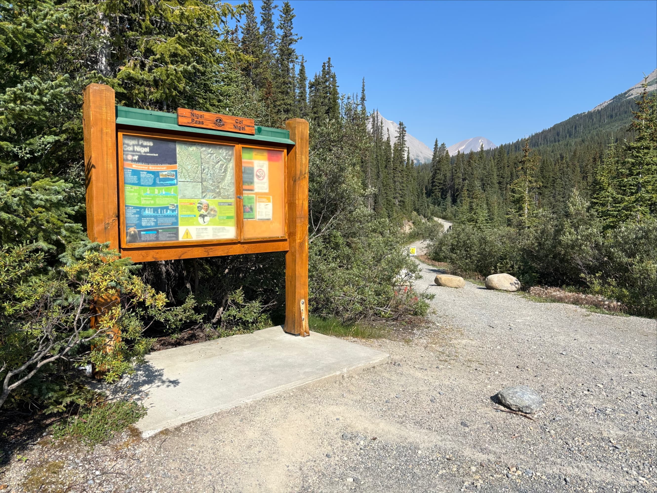
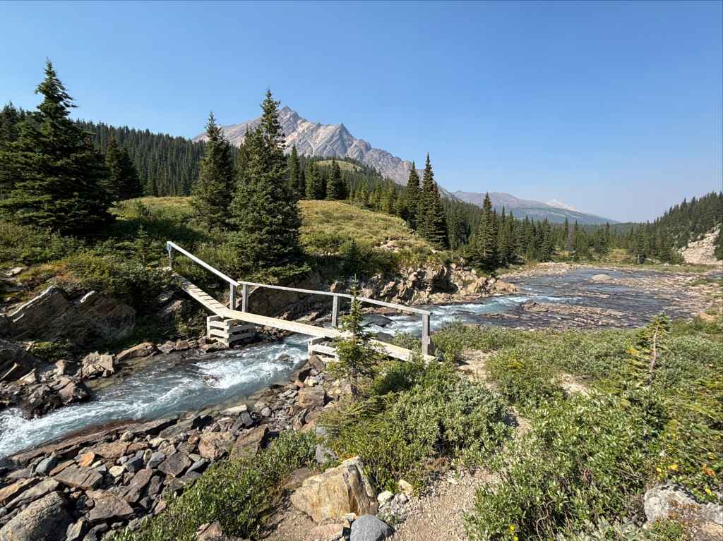
We started off from the Nigel Pass trailhead at lunchtime, anticipating that we could hike the 15 km to Four Point at an easy pace and get there in time for supper. We had no problem meeting that timeline. The day was sunny and the thick wildfire smoke that was choking the southern Rockies was much thinner in Jasper. The initial walk was down an old gravel road, roughly parallel to the Icefields Parkway for 1.6 km. There, we followed signs directing us north, past a warden’s cabin and over small bridges spanning Nigel Creek. From there we followed the trail as it slowly ascended a long valley alongside Nigel Creek heading towards a brief steep ascent that took us to Nigel Pass.
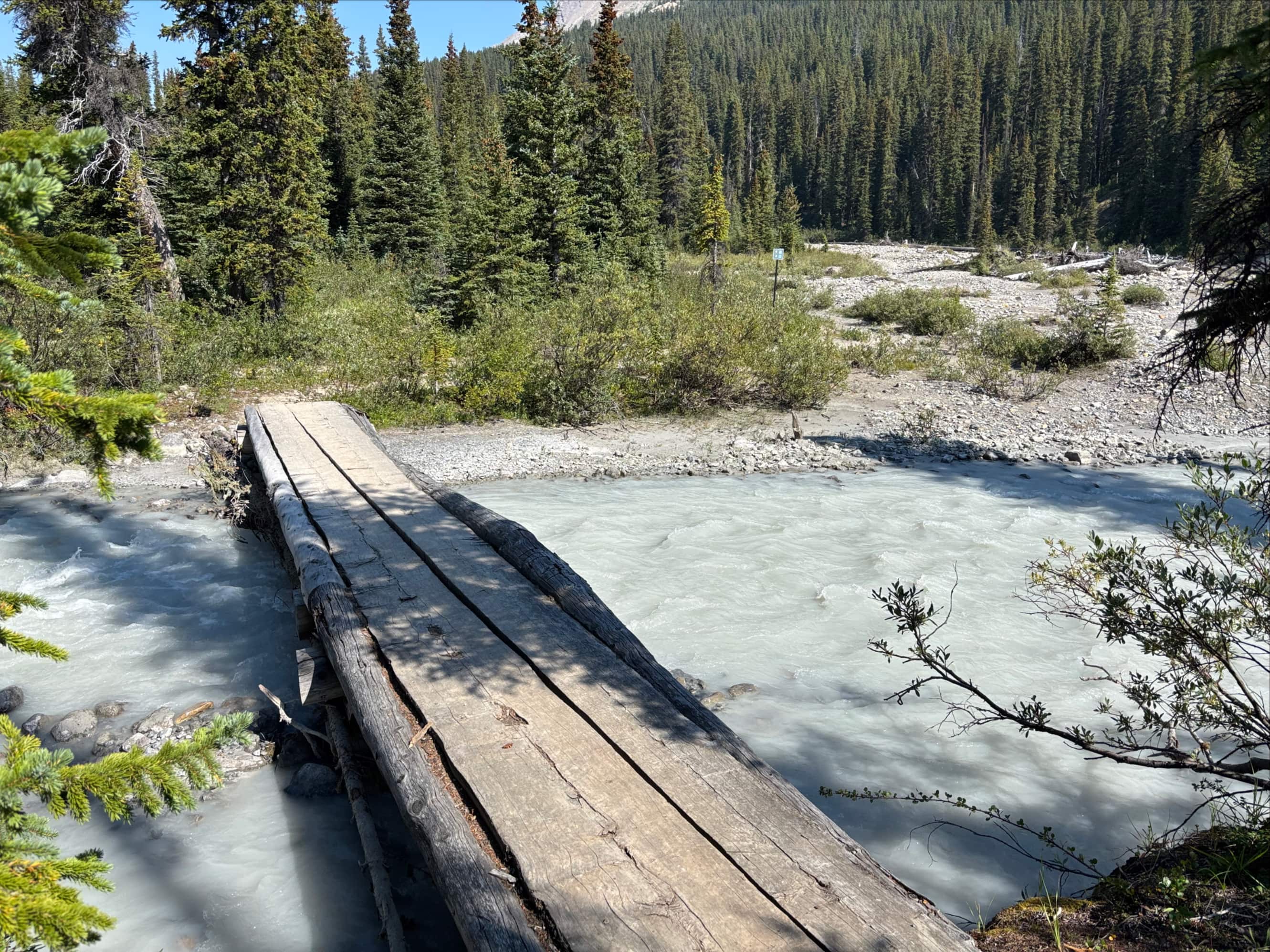
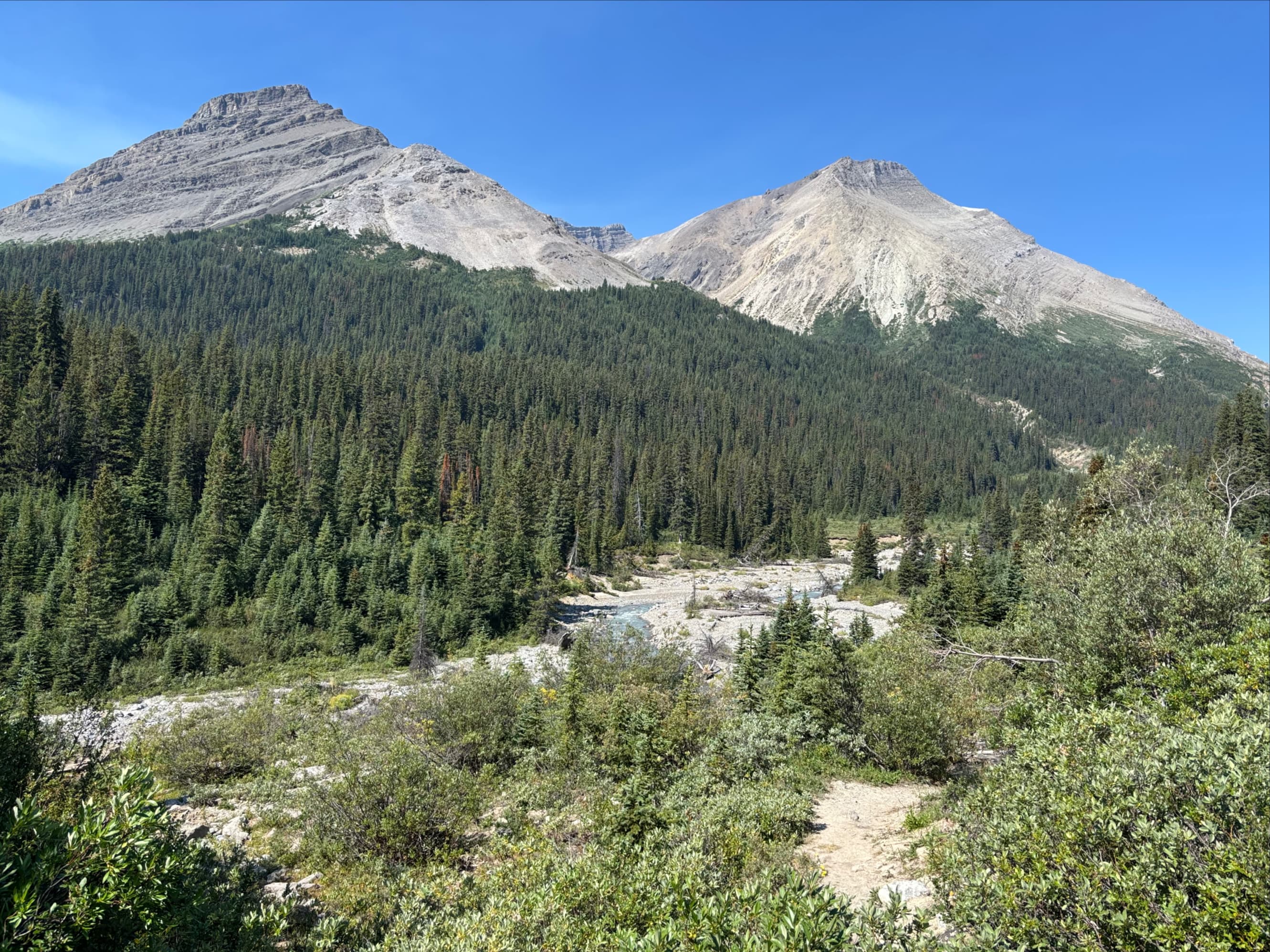
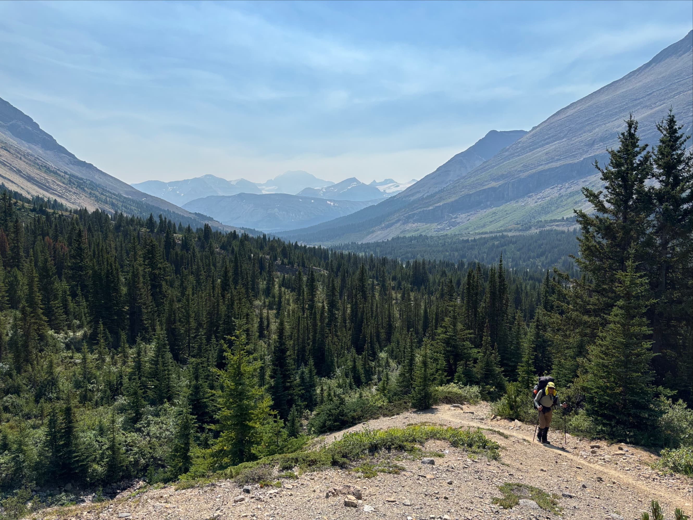
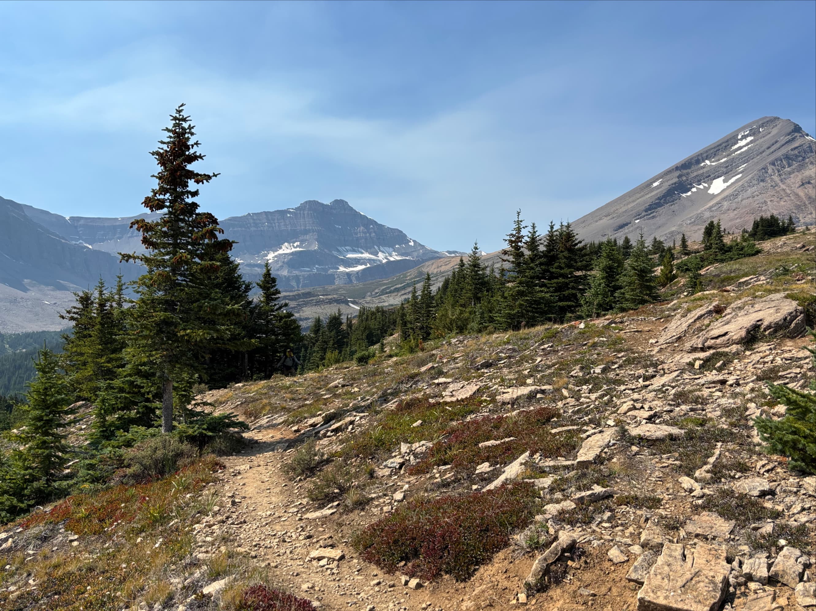
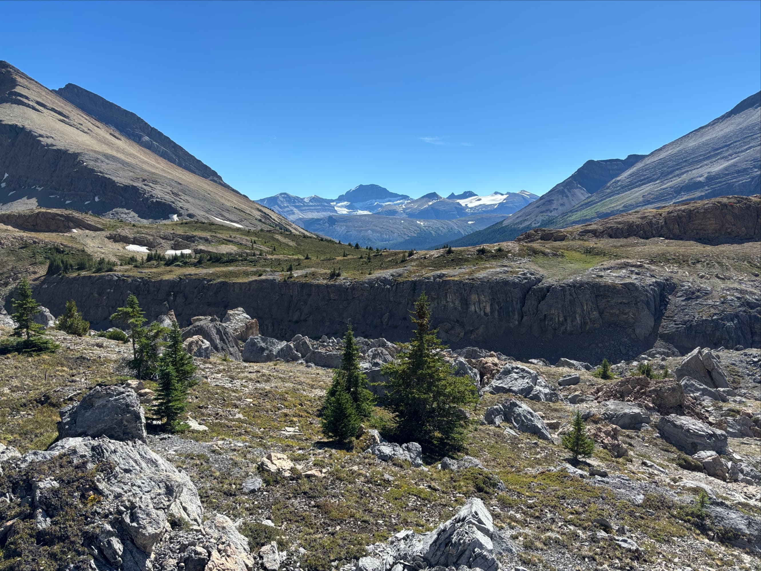
The top of the pass is on the boundary between Banff and Jasper National Parks. Immediately inside Jasper’s boundary we forded the Brazeau River, then passed through a boulder field following the course of the river west. We soon reached a viewpoint overlooking where the Brazeau cascades down a waterfall then widens and braids as its course turns to the north.
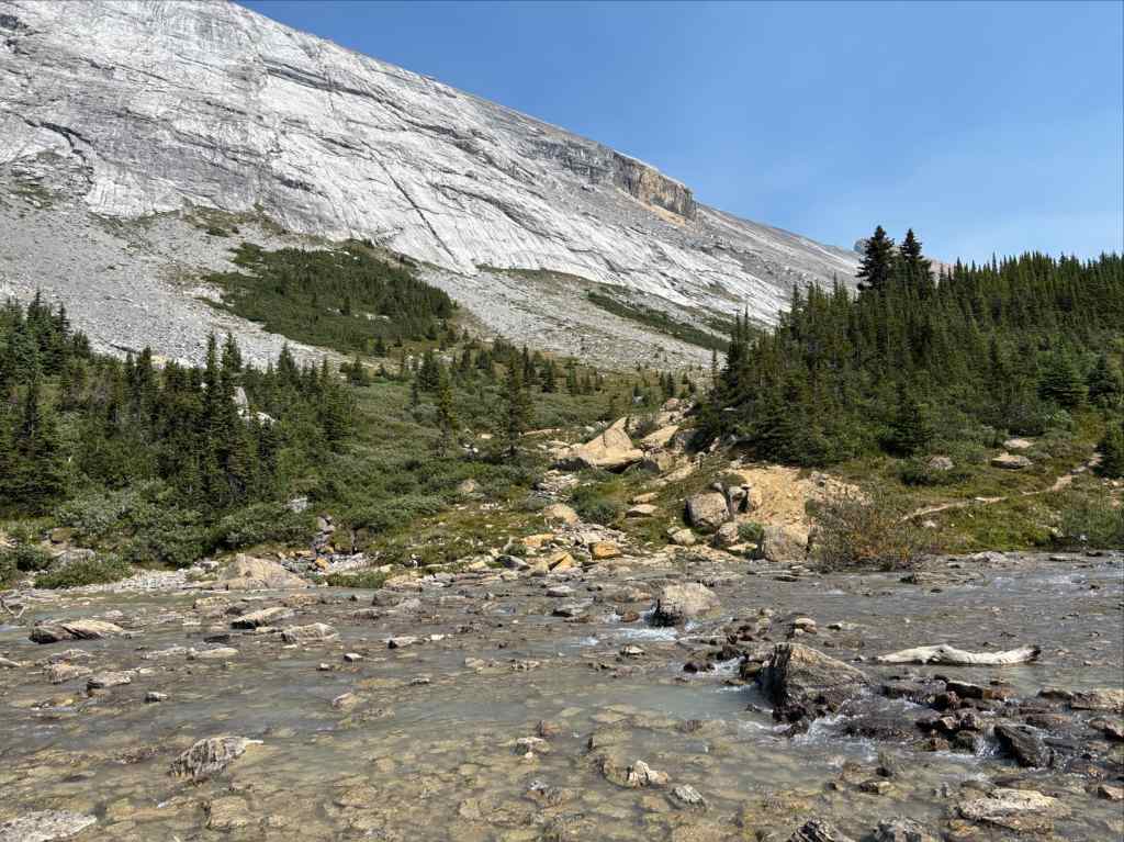
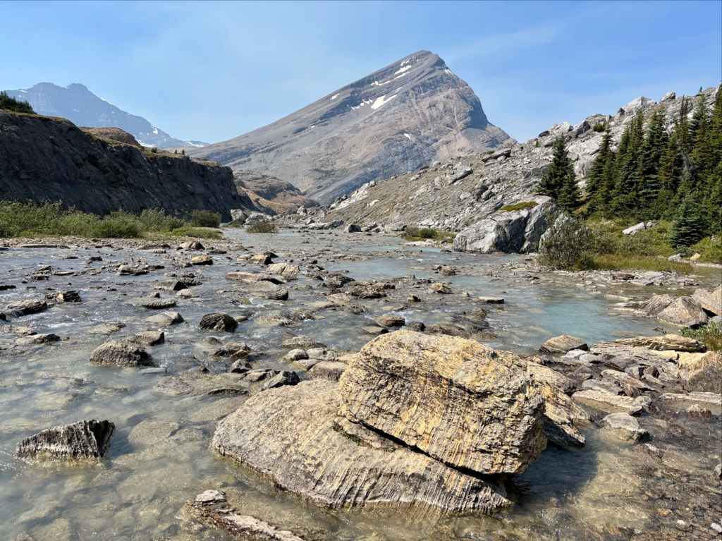
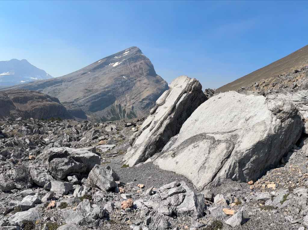
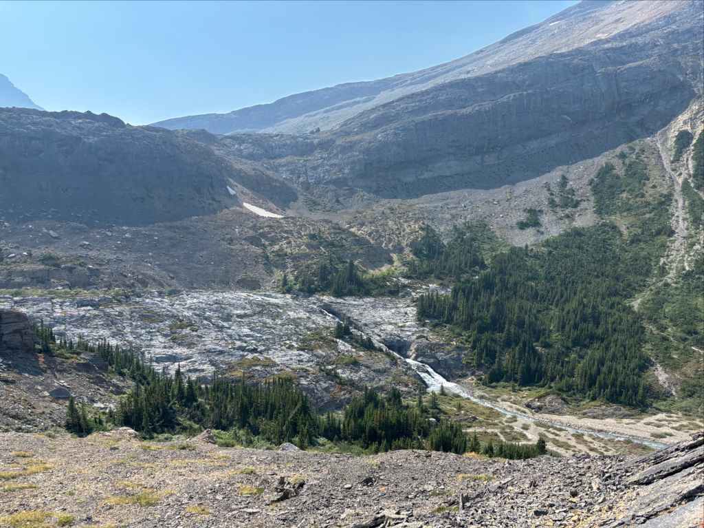
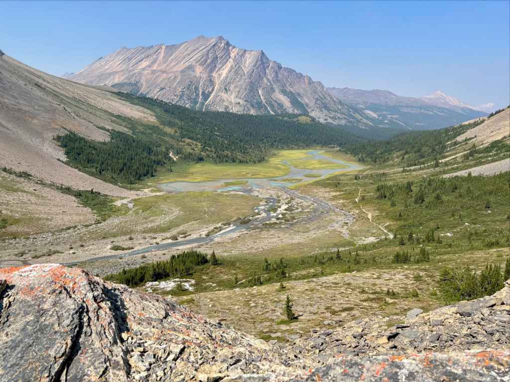
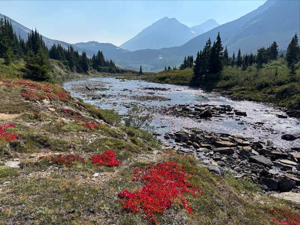
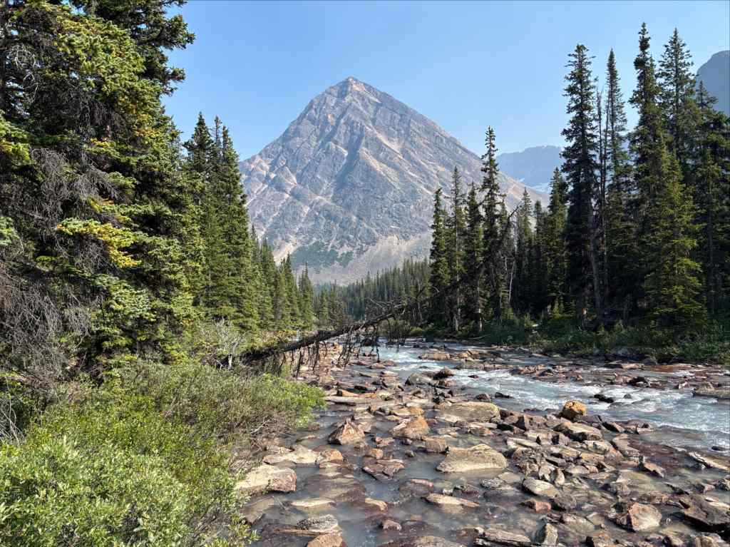
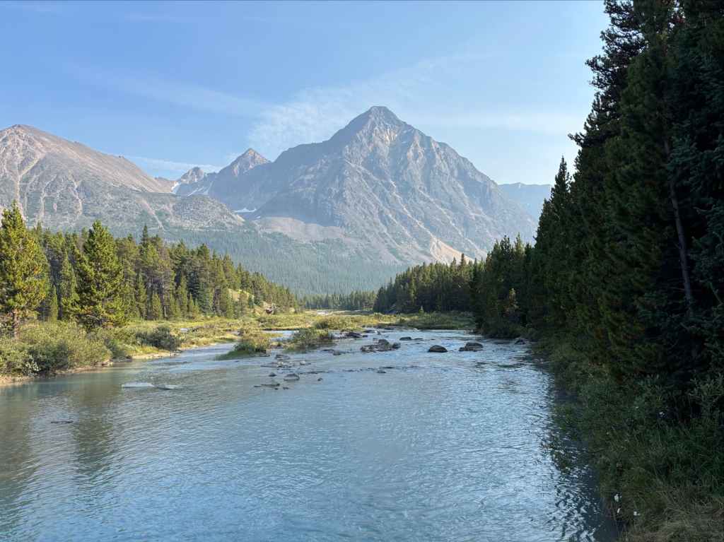
From the viewpoint we descended steeply along the trail to the valley bottom then followed the course of the river as it lazily descended north then northeast. It was almost a mirror of the first half of the day when we slowly ascended to the pass. So much so that when we reached Four Point campground our elevation was less than 50 m higher than at the trailhead.
After setting up camp and filtering our water we had time lots of time to prepare food and chat. We met a couple other parties, one of which we’d run into from time-to-time in the next few days. The evening wasn’t too cold. The only downside of that was the mosquitos. The night passed peacefully with no rain or disturbance.

Day 2: Four Point to Brazeau Lake
- Distance: 20.8 km
- Elevation gain/loss: 243 m ascent; 355 m descent
- High Point: Near Four Point campground 1934 m
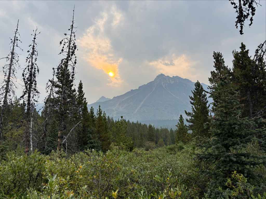
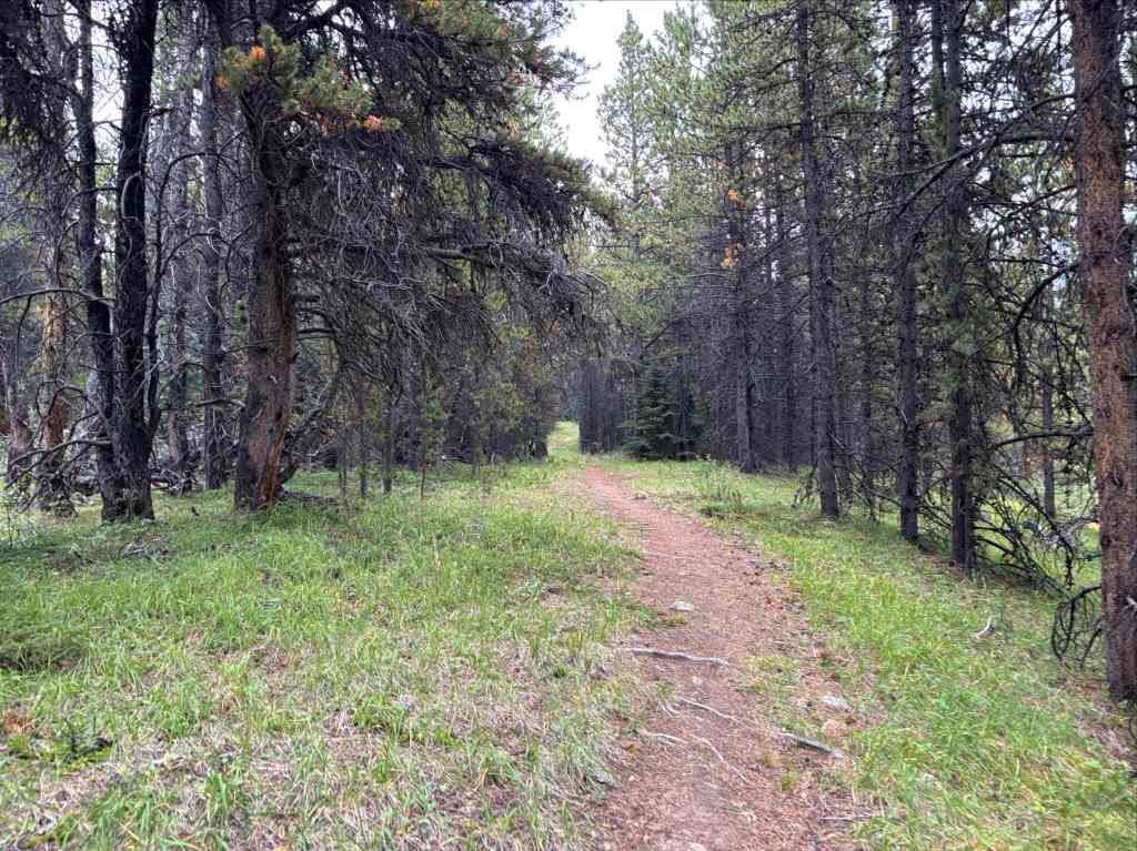
There was more smoke in the air for our 2nd day of hiking especially early in the day, giving everything a slightly orange tint. If we had to have a slightly smokey day, this was a good one to have it on. I found that this leg of the hike was not the most visually spectacular. Coming out of Four Points, we took the right fork at the intersection where the route coming back from Jonas Pass rejoined the access trail. We then hiked roughly 17 km along a wooded trail that occasionally visited the banks of the Brazeau River and occasionally afforded some views across the valley. The trail never strayed far from the river until roughly 16 km when the river bent to the east while the trail carried on north and crossed over a tributary. Then it turned west, proceeding along the wooded slopes above the tributary until it reached Brazeau Lake and the Brazeau Lake campground.
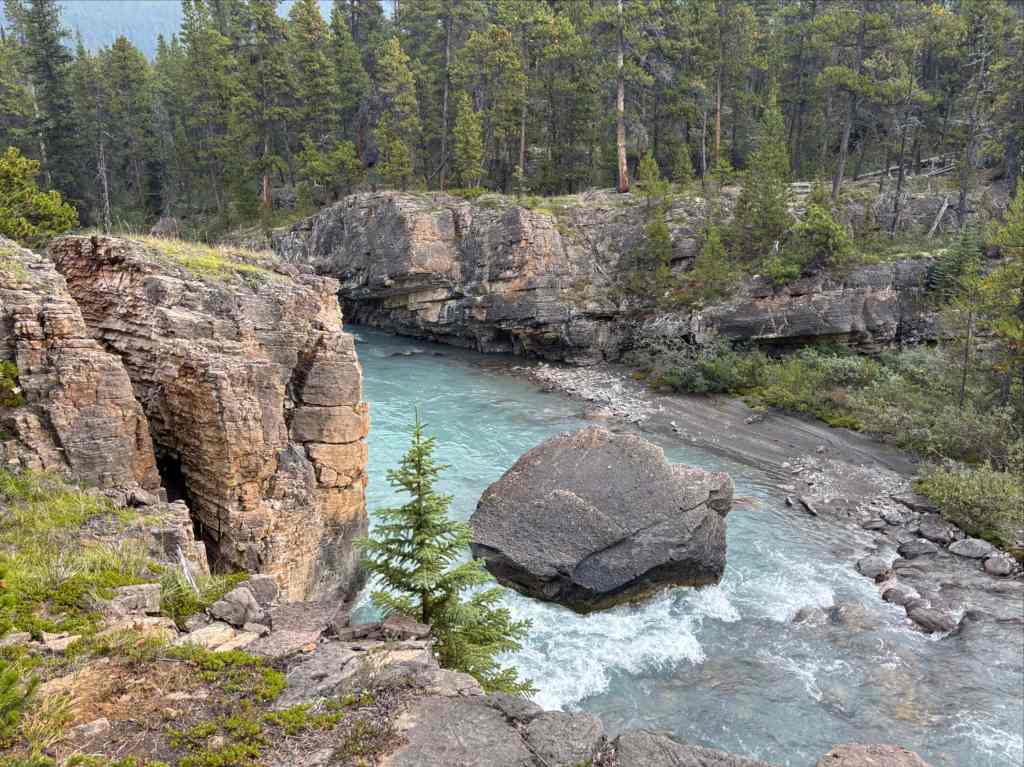
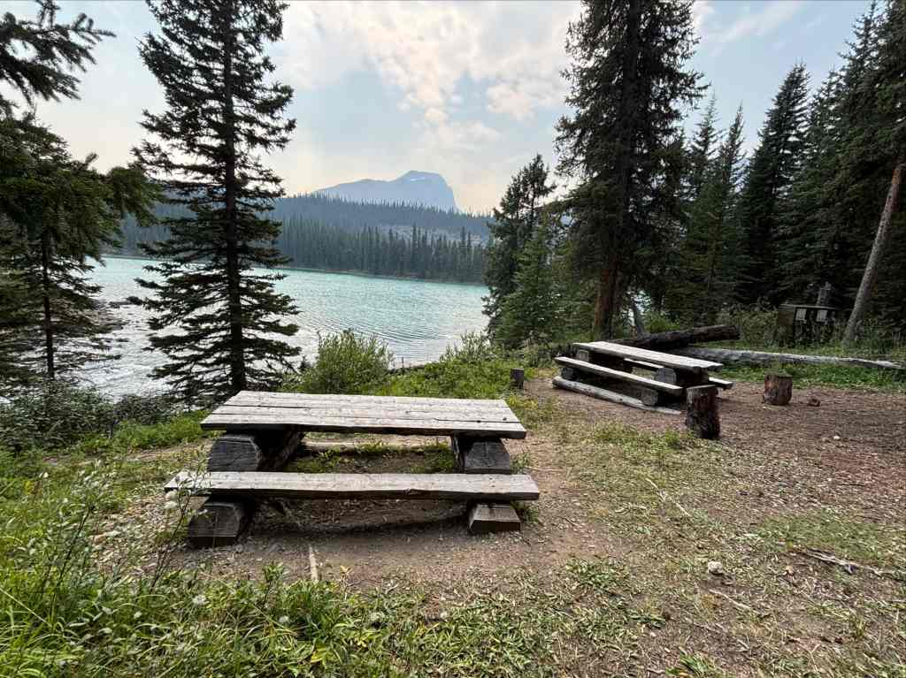
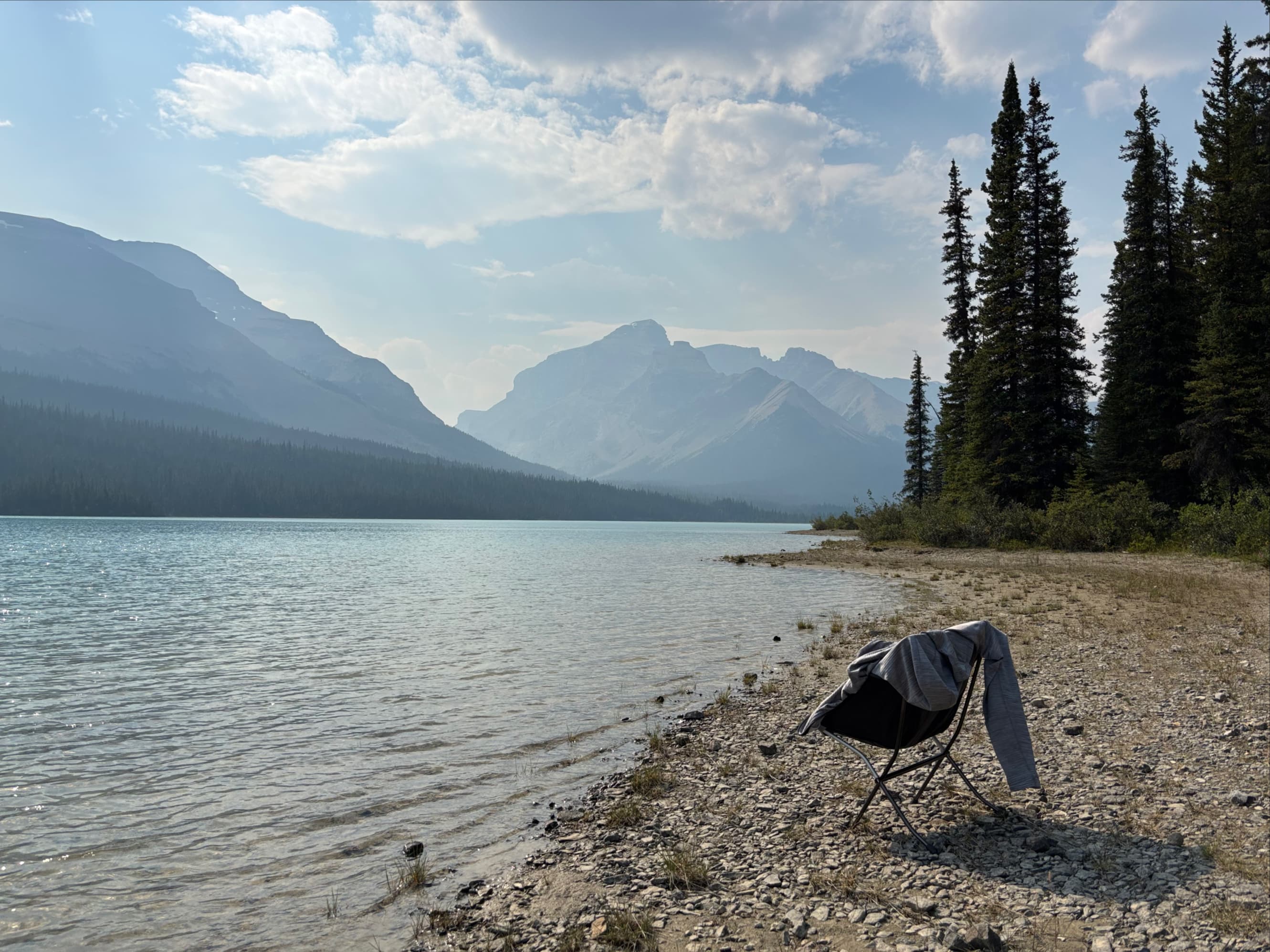
We knew rain was forecast for that evening, but the weather was warm and mostly sunny when we arrived at the campsite. We had time to set up and then take a quick swim in the lake. The best places to swim and relax were a short distance counterclockwise along the shore. Clouds rolled in and the rain arrived as we were finishing supper. Everyone retreated to their tents for a rainy night.
Day 3: Brazeau Lake to John-John Creek
- Distance: 9.2 km
- Elevation gain/loss: 311 m ascent; 116 m descent
- High Point: John-John Creek campsite 2000 m
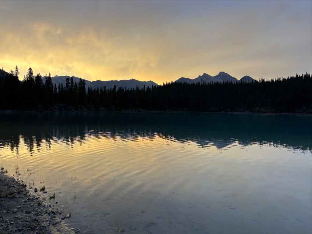
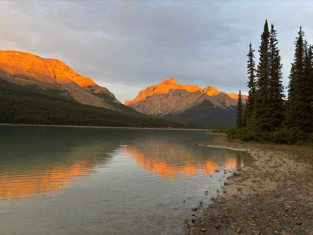
The sky had cleared by morning so we didn’t have to break camp in the rain. The rainy weather had pushed away the smoke, and sunrise views of the lake and surrounding peaks were spectacular.
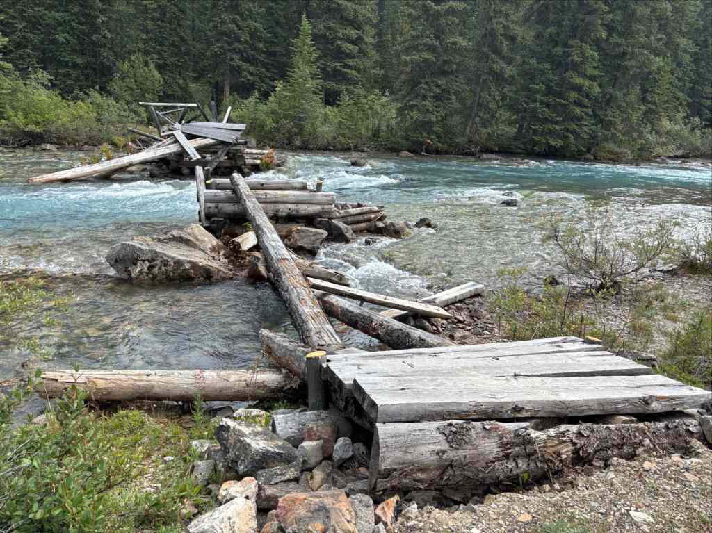
Our first order of business after we’d packed up was to get to the other side of the outlet flow of Brazeau Lake. The destroyed bridge we’d passed by the prior day, about 900 m back along the trail, used to be the official route. However, in the years since that the bridge has been out of commission (and I suspect for some time before that because hikers didn’t want to backtrack), the usual route has involved a crossing of the river at the stony ford right where it drains from the lake. This has been the practice long enough that the water crossing appears as a dotted line on sources such as OpenTopoMap and OpenHikingMap. Replacing the destroyed bridge is apparently a priority but it remains to be seen when that will translate into the bridge actually being replaced (the wash-out occurred back in 2022).
We crossed the water with no difficulty – the depth was never above my knees and the flow wasn’t fast. Of course, in different conditions and different times of the year I can imagine it being more challenging.
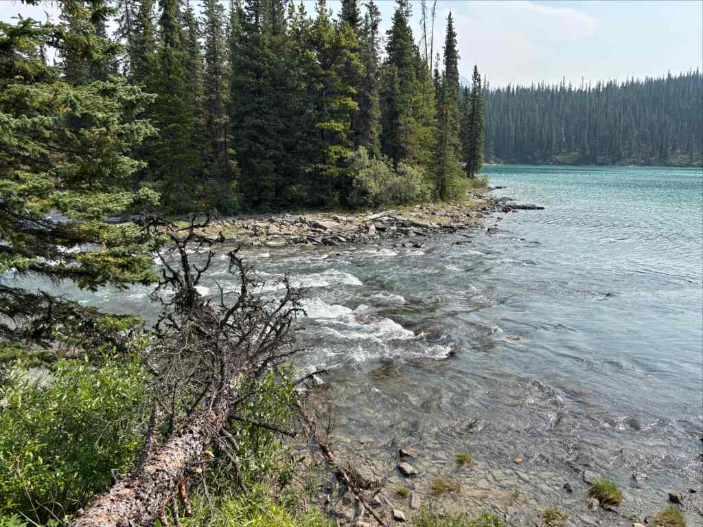
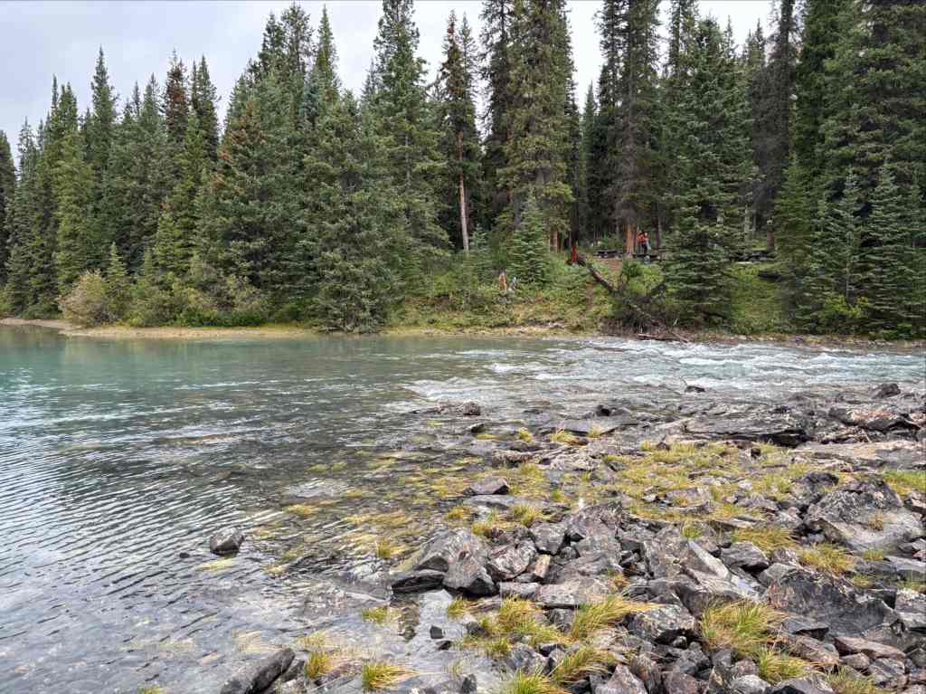
At the far side of the crossing, there is no official trail. People have been using the bypass long enough, though, that there is flagging guiding you in the direction you need to go. I was very grateful for the flagging, especially early after the crossing, when vegetation and false trails meant it wasn’t always obvious which way to go. After not too long we rejoined the official trail heading south then bending west following a line parallel to Brazeau Lake’s shore but high above it. Unfortunately, there was never a point where we could see down the length of the big lake.
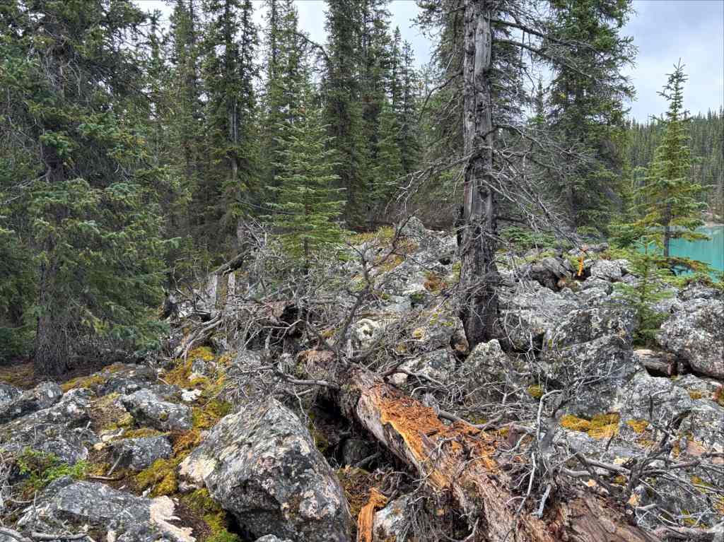
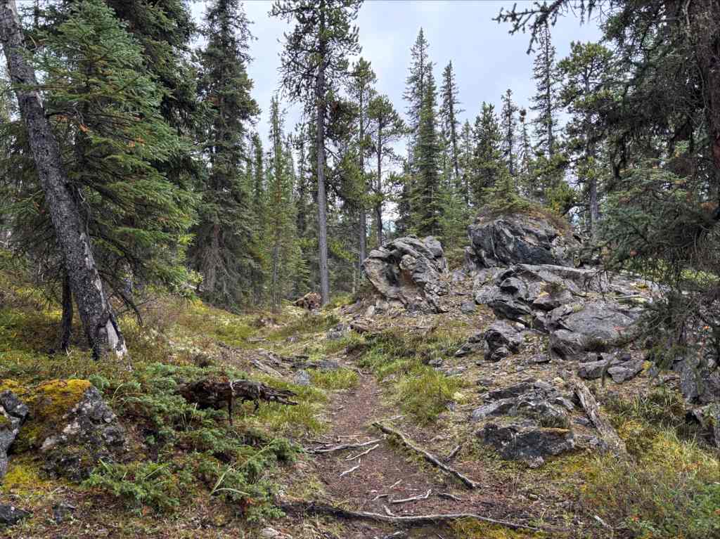
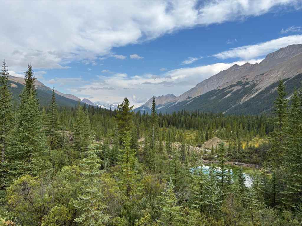
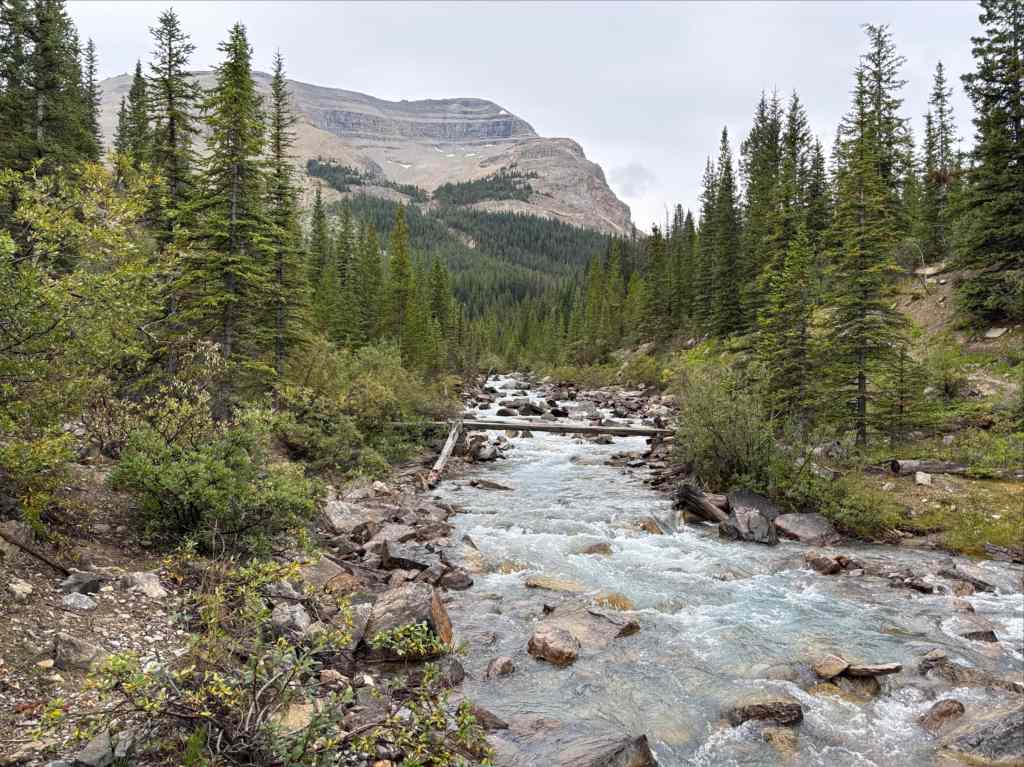
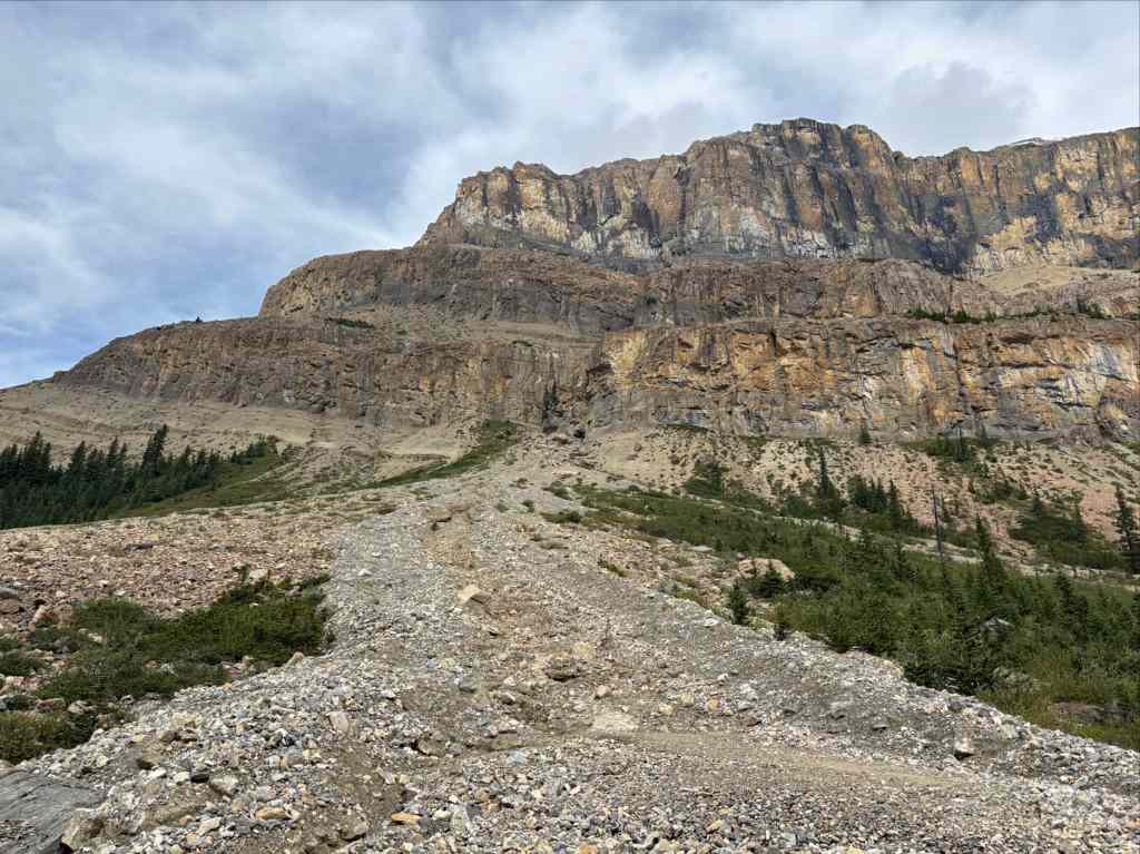
The trail eventually came out of the trees and passed over some small creeks then turned more directly west, meeting John-John Creek and crossing over. Then we proceeded southwest, following the creek between Flat Ridge to the south and an unnamed massif to the north. A gentle ascent up the valley for about 5 km brought us to the small John-John Creek Campsite.
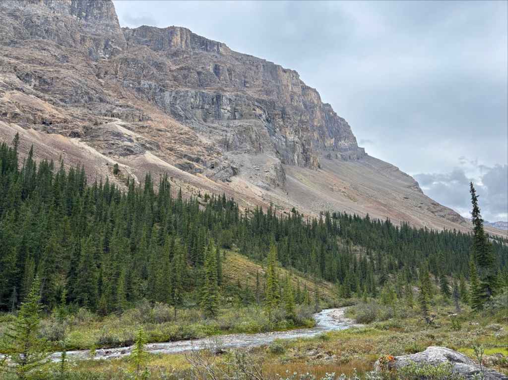
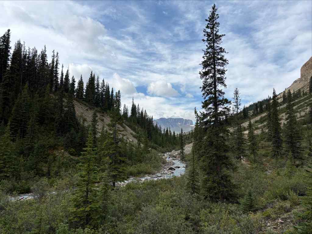
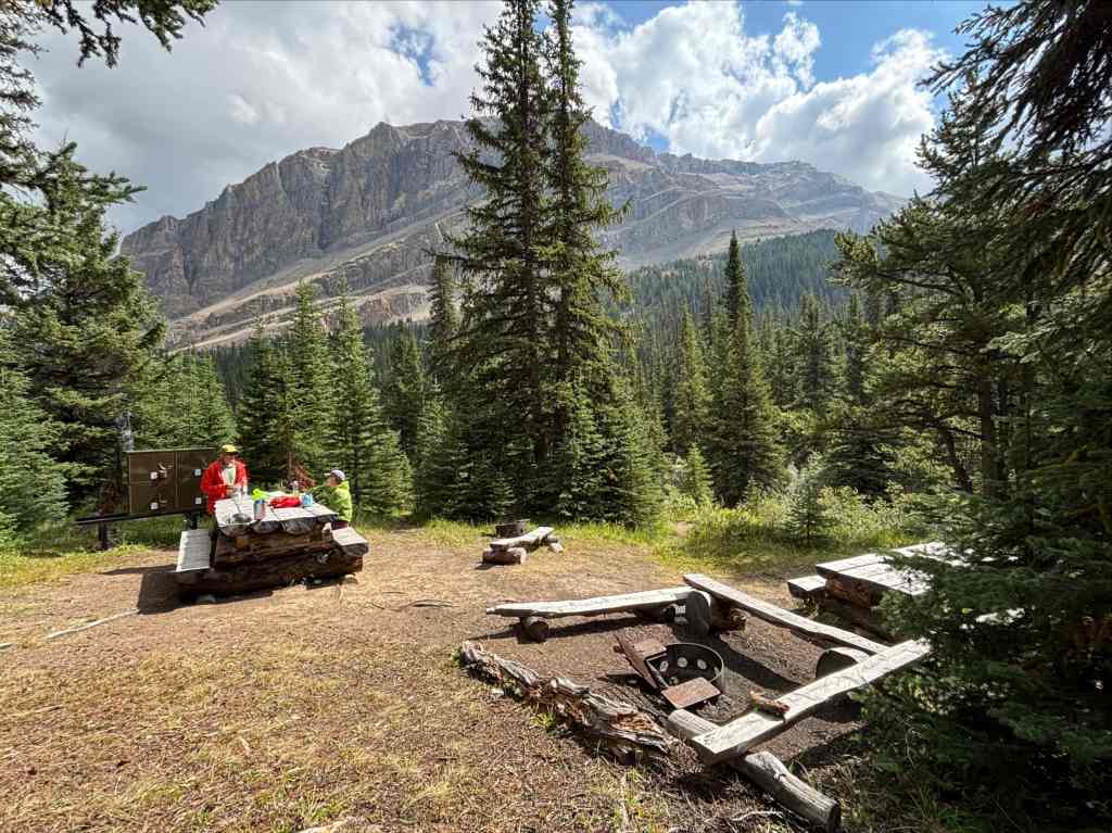
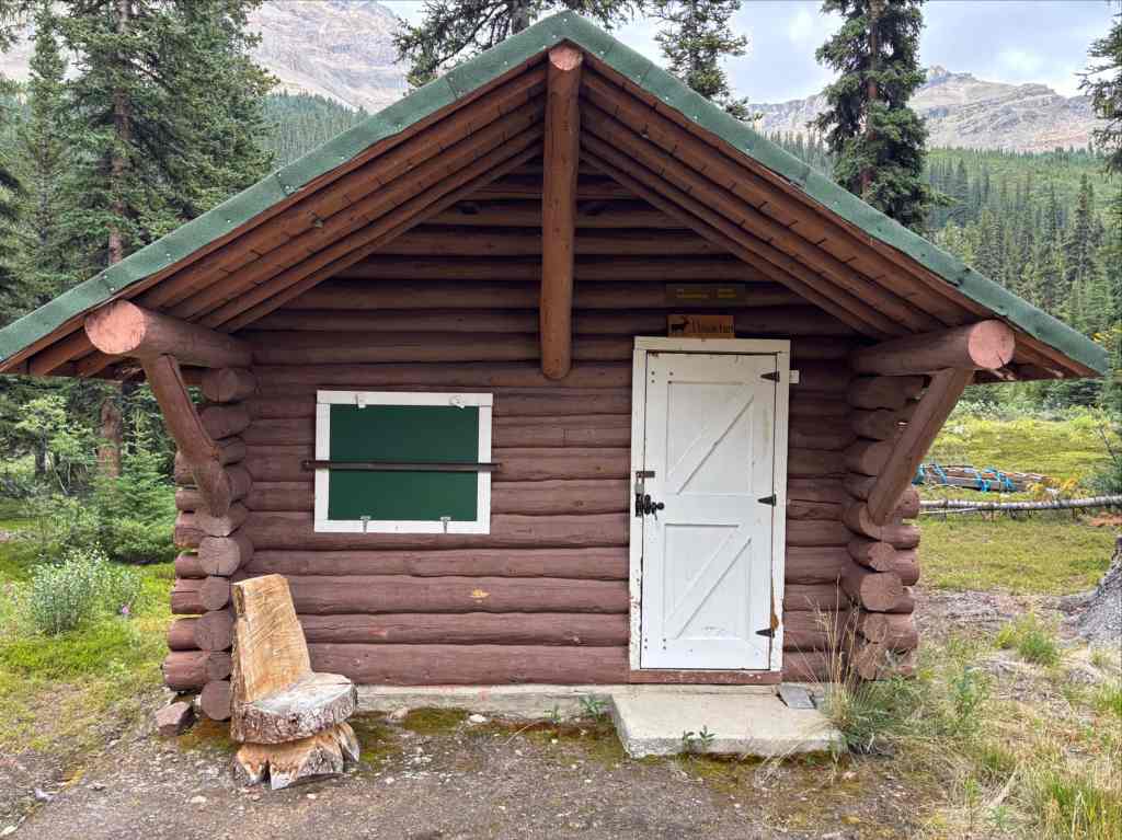
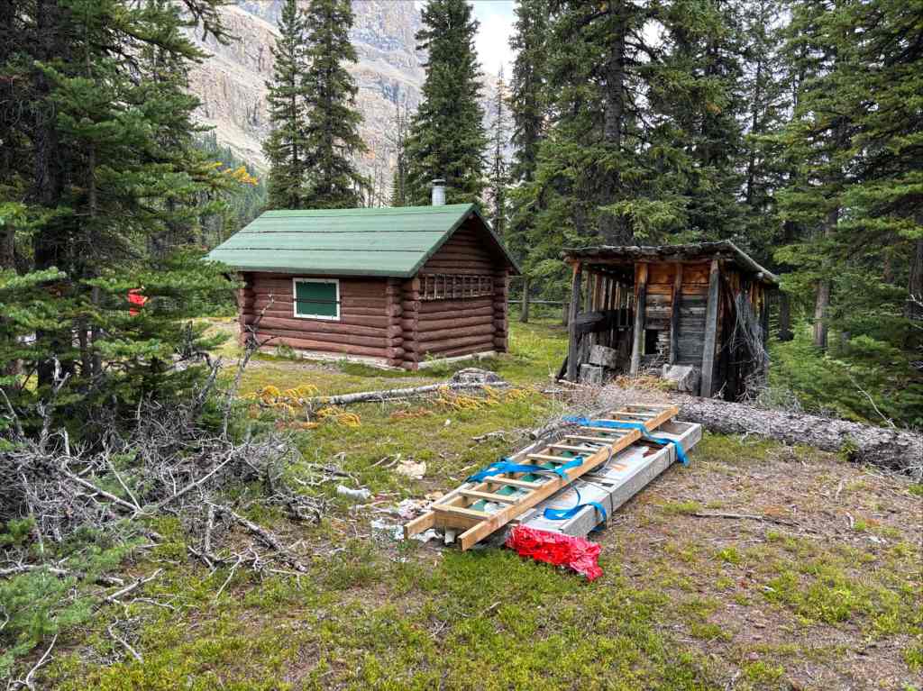
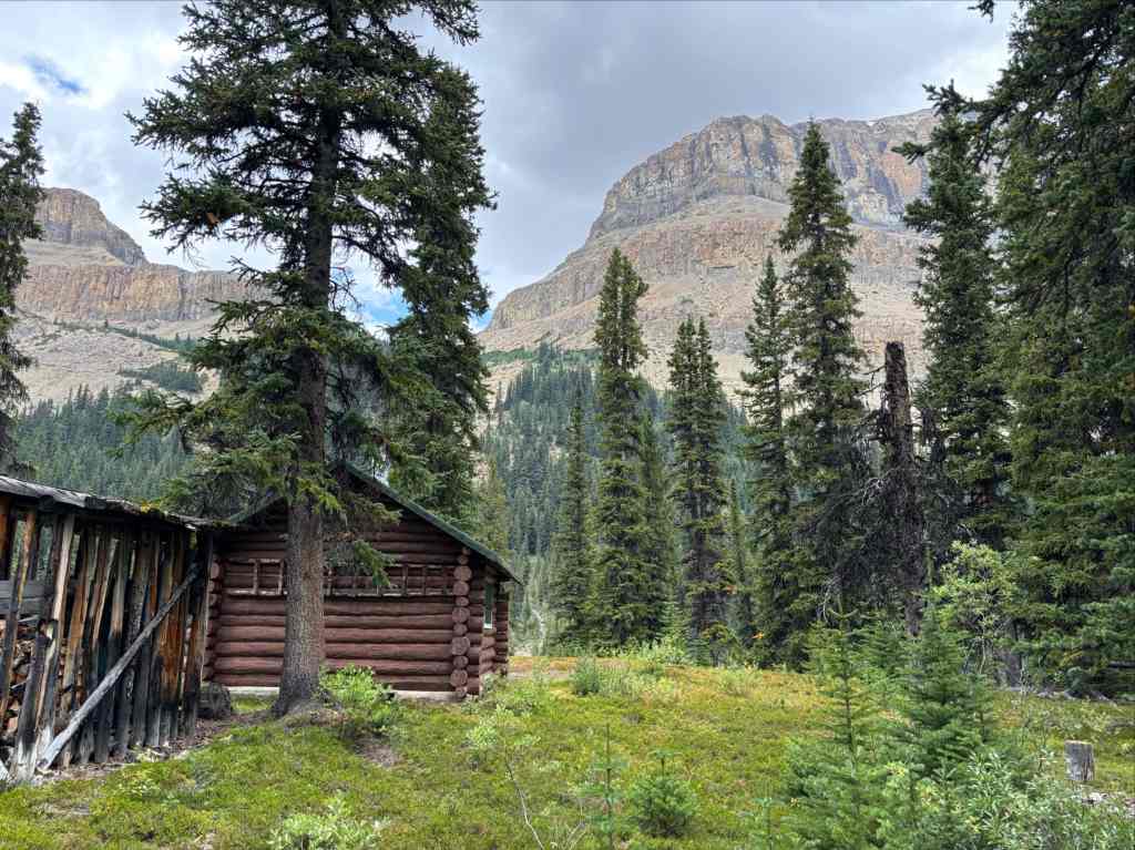
We had rain in the forecast again, but once again we were lucky to arrive with enough time to set up camp in dry conditions. It was early afternoon and we had time to kill. We took the opportunity to do some minor exploration south of the creek, discovering a locked-up warden’s cabin complete with wood shed, outhouse, and scattered building materials. Some webbing around some of the building materials led us to believe the nearby clearing was used for helicopter landings, or at least offloading long-line deliveries from helicopters. We retreated to the campsite as light rain began.
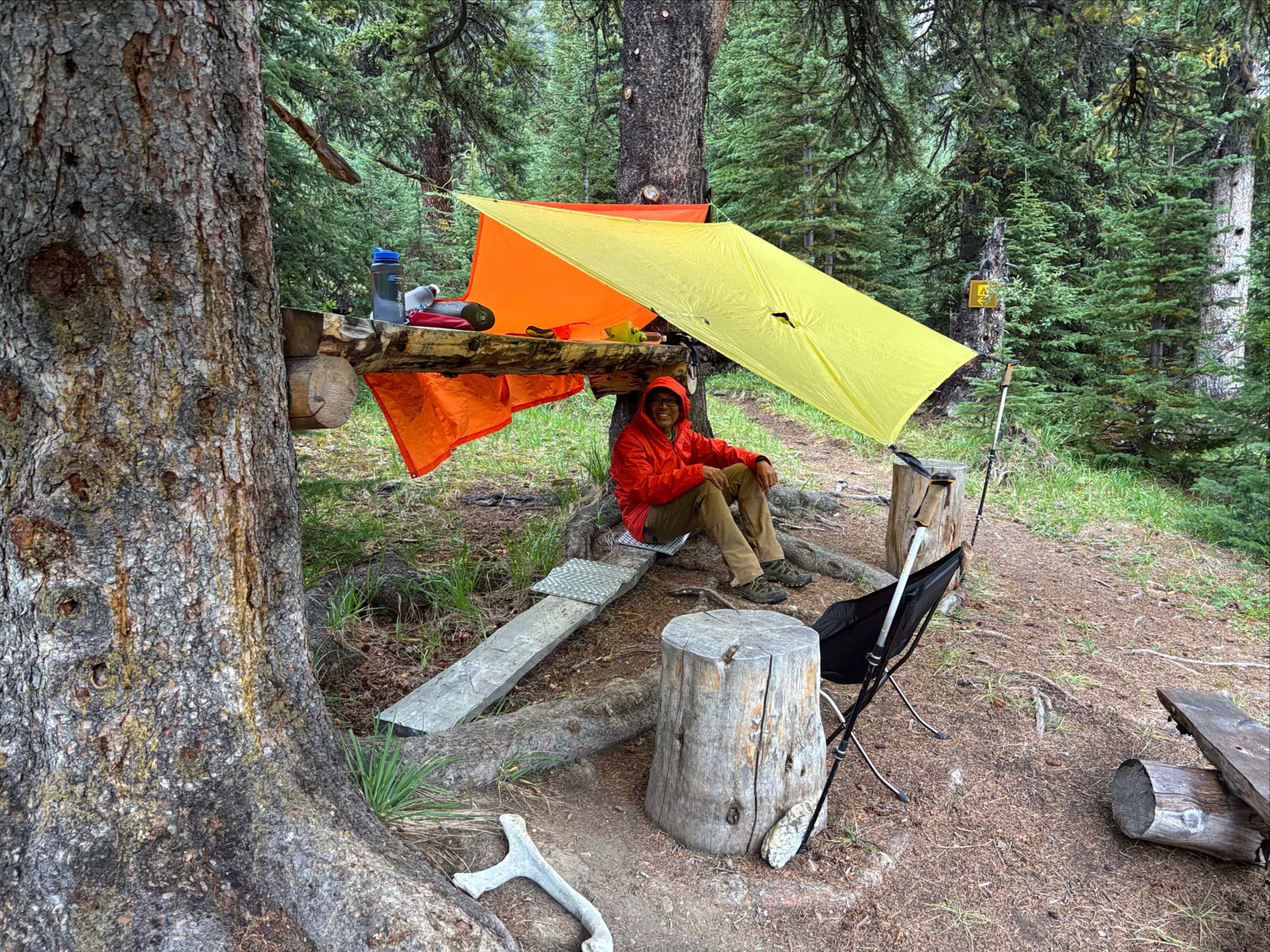
It was still only late afternoon so we arranged some tarps to allow us to sit together and chat. The campsite’s unique counter-top feature between 2 trees was very helpful in this regard. We sat under the tarps as the rain began in earnest. After an hour or so, another party arrived. They were thoroughly soaked and we invited them under our shelter. After a while, they decided they’d have to bite the bullet and set their tent up even though the rain continued to fall. One of them remarked that the rain would probably stop as soon as they had the tent up. They set up the tent. The rain stopped a short time after they finished.
Day 4: John-John Creek to Jonas Cutoff
- Distance: 8.2 km
- Elevation gain/loss: 318 m ascent; 206 m descent
- High Point: Poboktan Pass 2292 m
We awoke to partly cloudy skies and no smoke for our 4th day. It was to be another short one, taking us over Poboktan Pass and to the Jonas Cutoff campsite. This was the leg of the trip where we moved into terrain that gave provided the expansive mountain views we had come for.
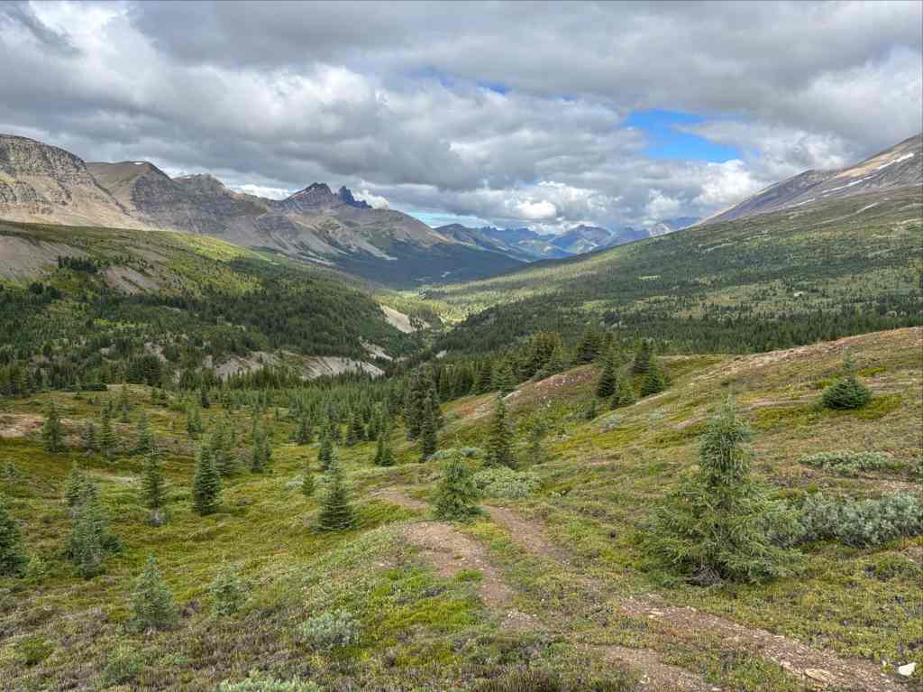
The first milestone would be Poboktan Pass, roughly 4.7 km from the campsite. Aside from one area of washed-out trail in a steep drainage this going was easy on a gentle incline. As the trail ascended into the subalpine the trees thinned out. Though we were not surrounded by jagged peaks, the vast glacier-carved landscape that was revealed was beautiful.
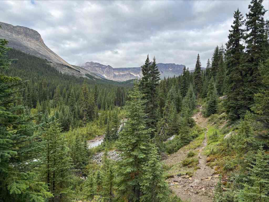
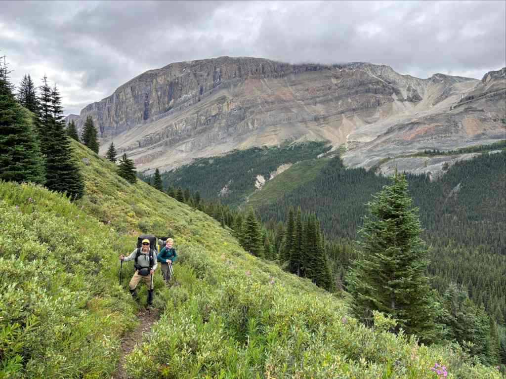
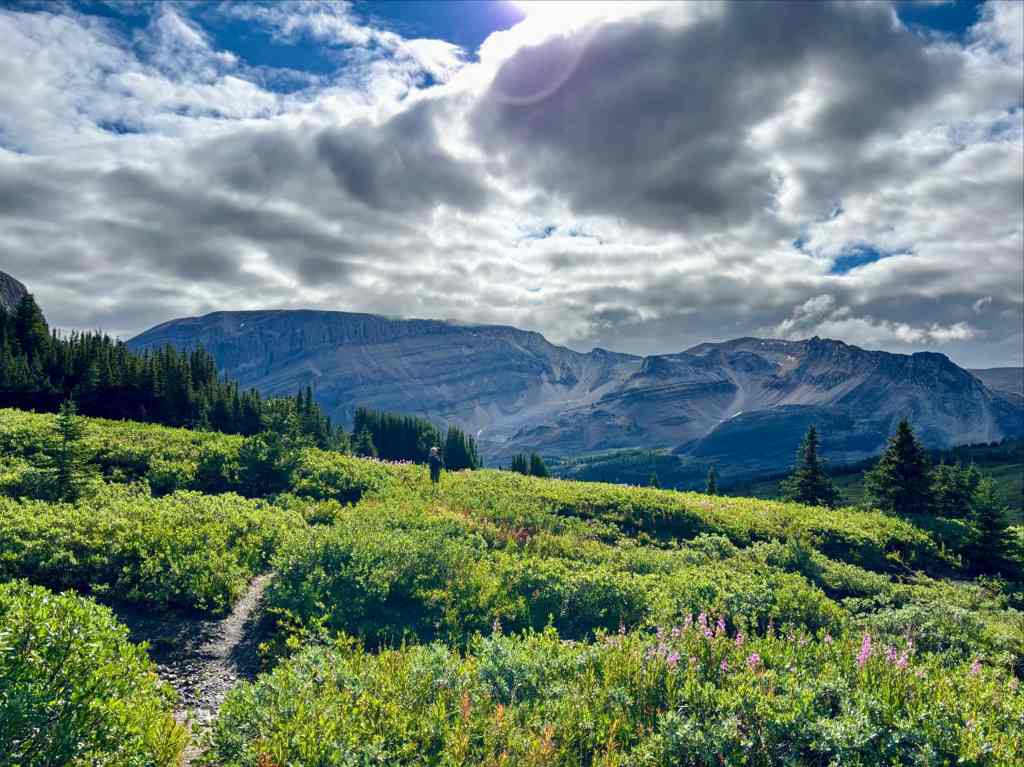
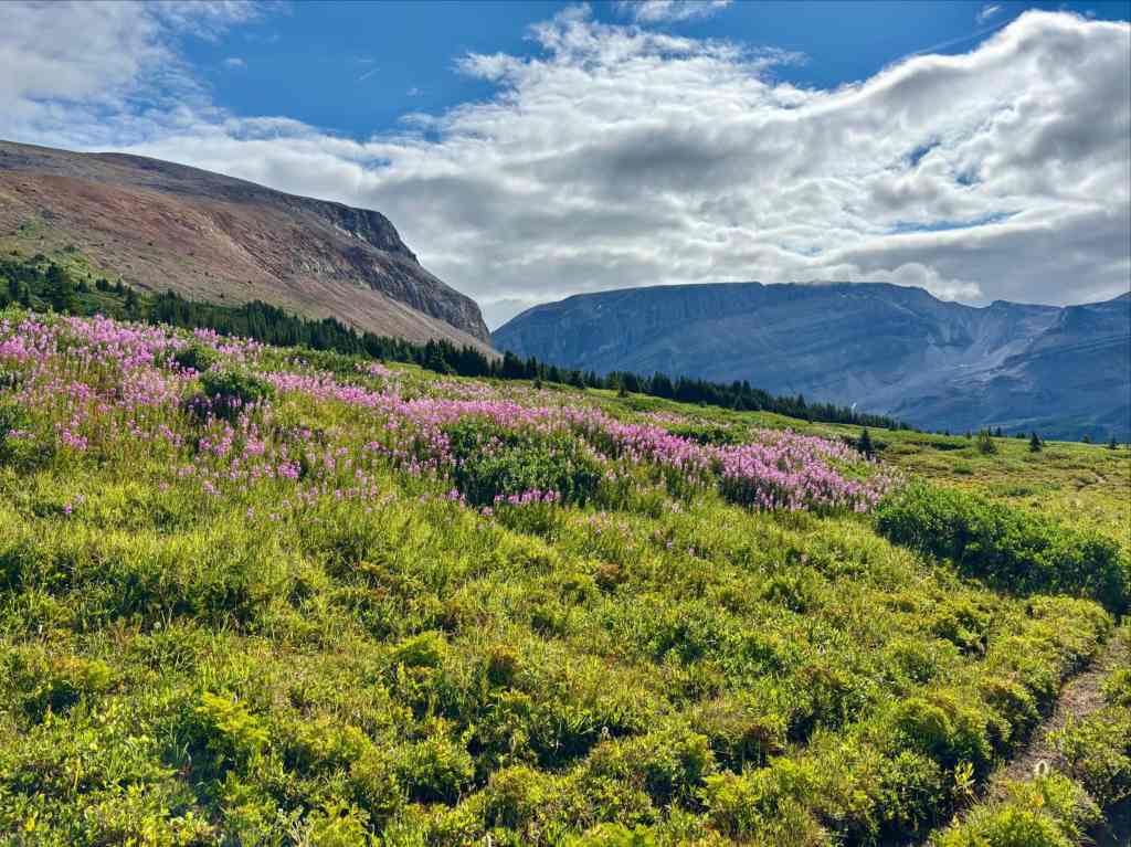
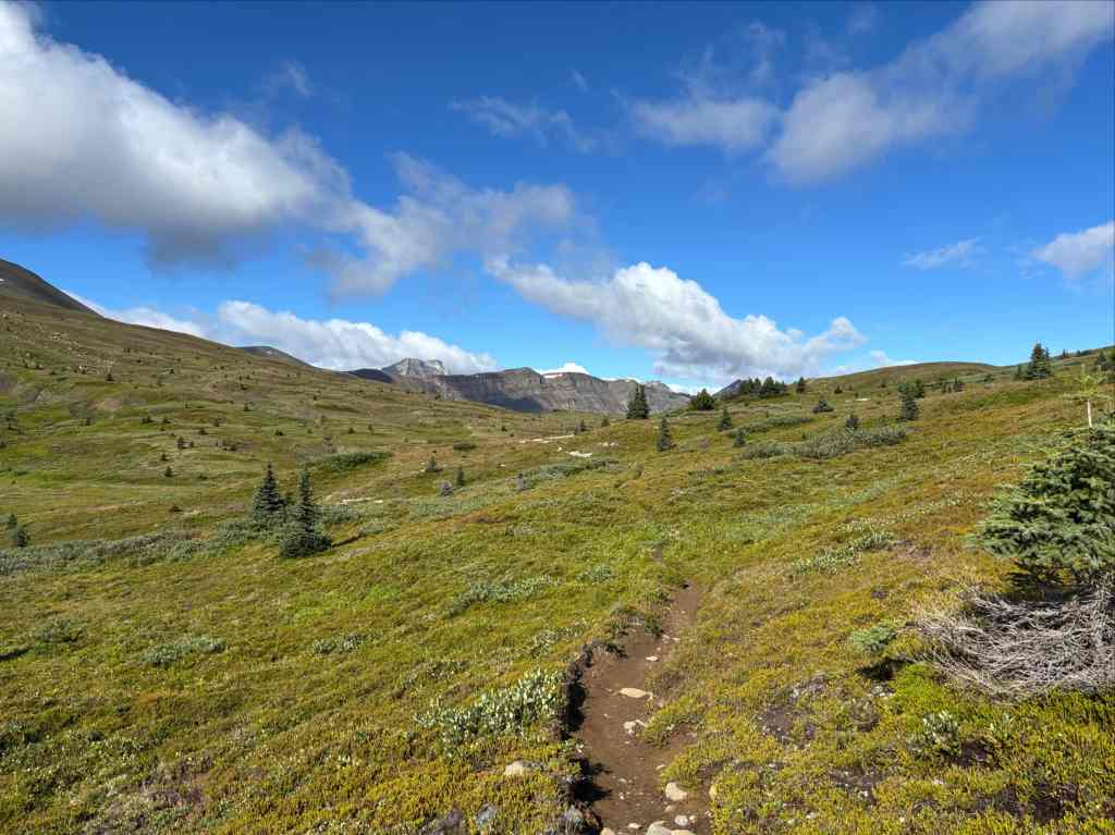
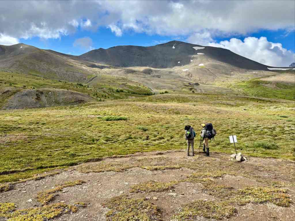
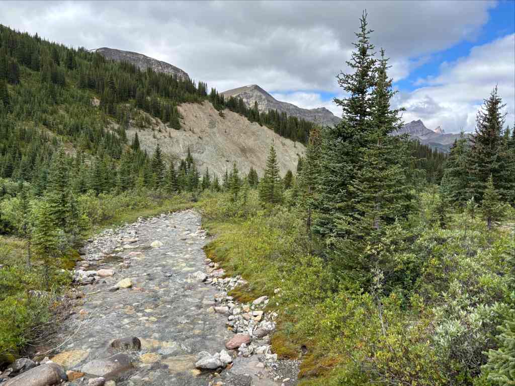
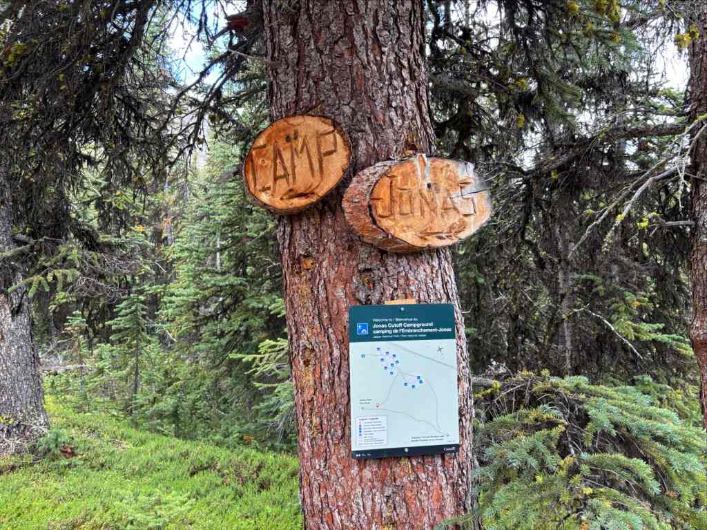
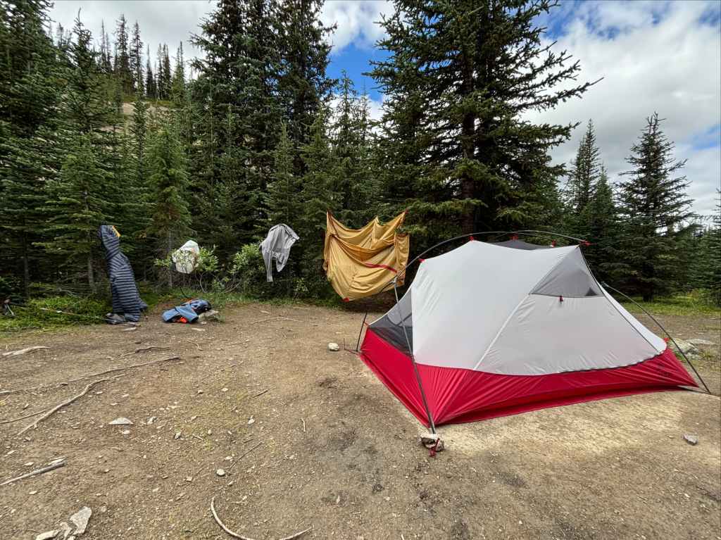
Beyond the pass, we started to see some jagged peaks in the distance. We descended among small streams and rivulets that were tributaries of what would become Poboktan Creek. Eventually we reached a T-intersection and turned south, crossing a bridge and arriving at Jonas Cutoff campsite. We took advantage of the short day and clear weather to dry out our gear.
With a lot of free time to pass before we prepared supper, we decided to hike some of the following day’s route and ascend to Jonas Shoulder. This turned out to be a great decision as the views were great on that day – the sky was crystal clear and the scattered cloud enhanced the views. I took a lot of pictures, but I’ll put them in the next day’s section since they reflect the route that day.
Day 5: Jonas Cutoff to Nigel Pass Trailhead
- Distance: 33.9 km
- Elevation gain/loss: 854 m ascent; 1107 m descent
- High Point: Jonas Shoulder 2492 m
We had no rain for our fourth night of camping, but it was cold. Cold enough for frost to form. The skies had cleared completely overnight, which accounted for the drop in temperature. We were set for another day of fair weather, though slightly hazier than the day before. As we ate breakfast we toyed with a plan – what if instead of stopping and camping as planned at Four Point we just kept going and hiked out that day? We decided to give it a shot: move at a reasonable pace to get to Four Point then see how we felt. If it was early enough in the day and we were feeling good we’d just keep walking. After packing our gear we returned to the trail and climbed to Jonas Shoulder.
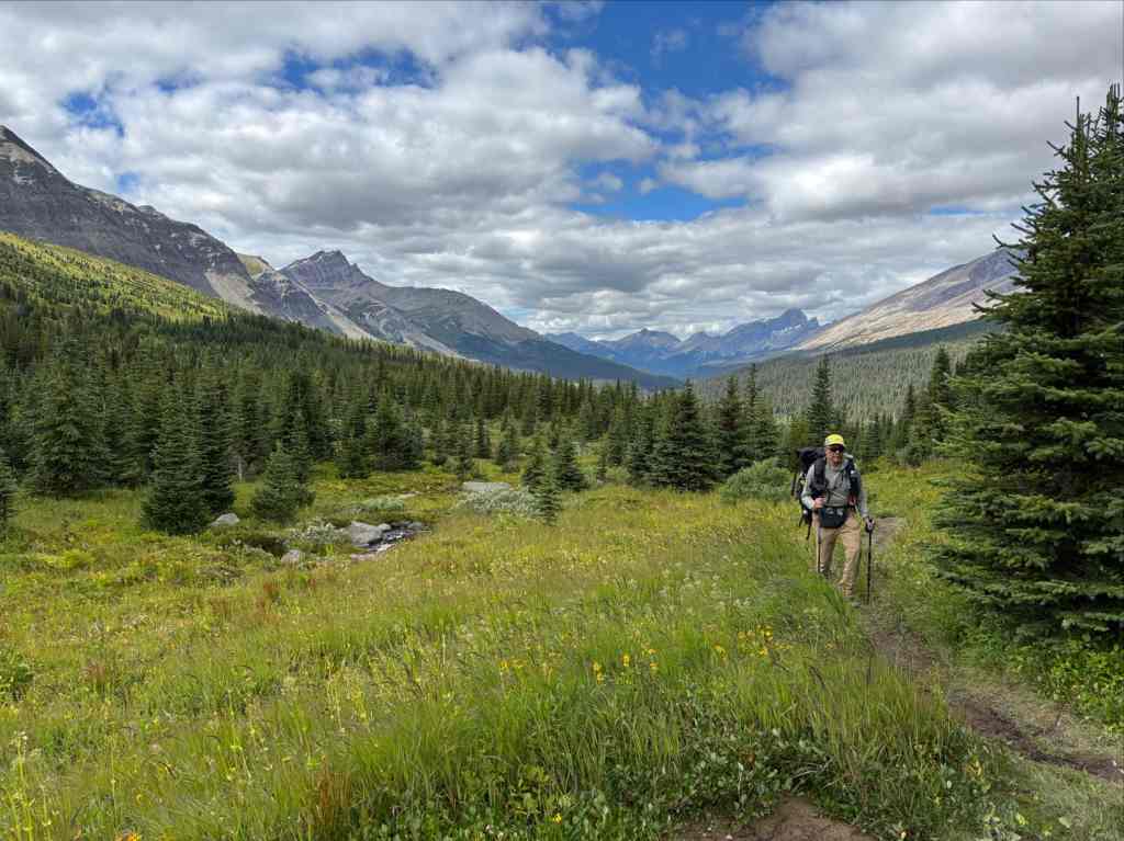
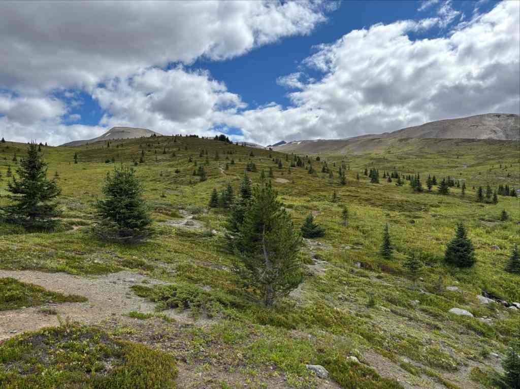
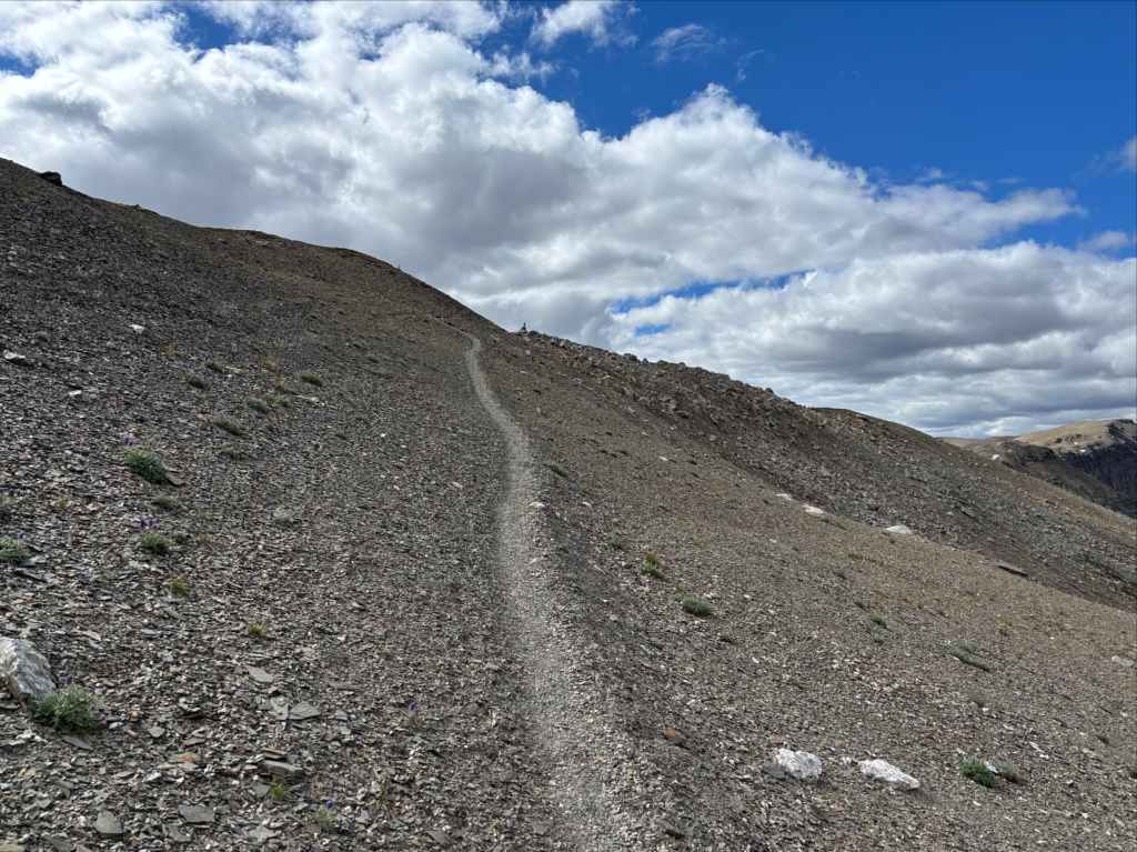
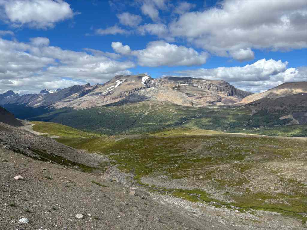
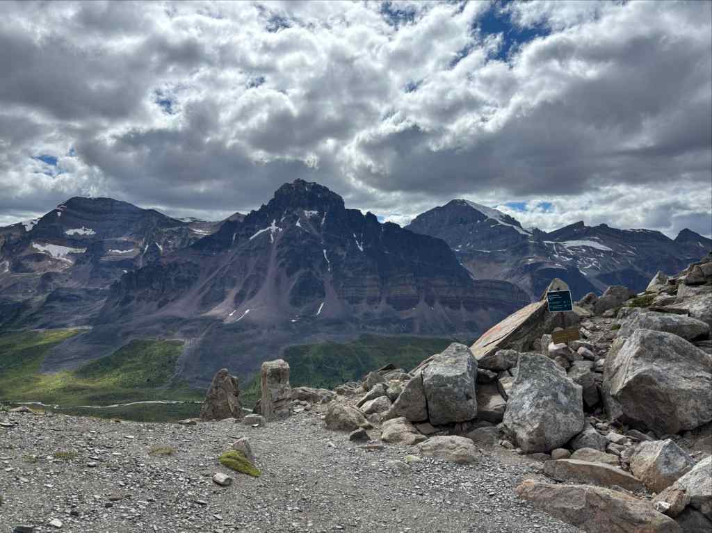
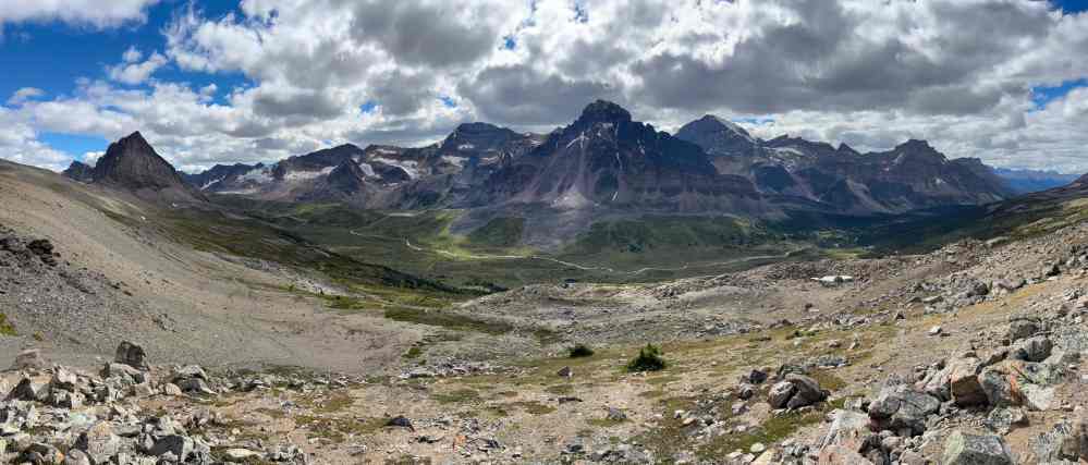
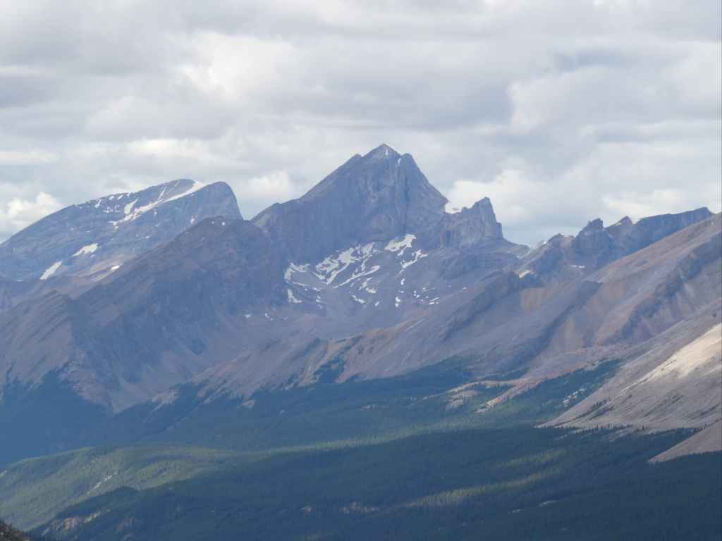
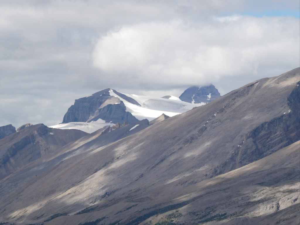
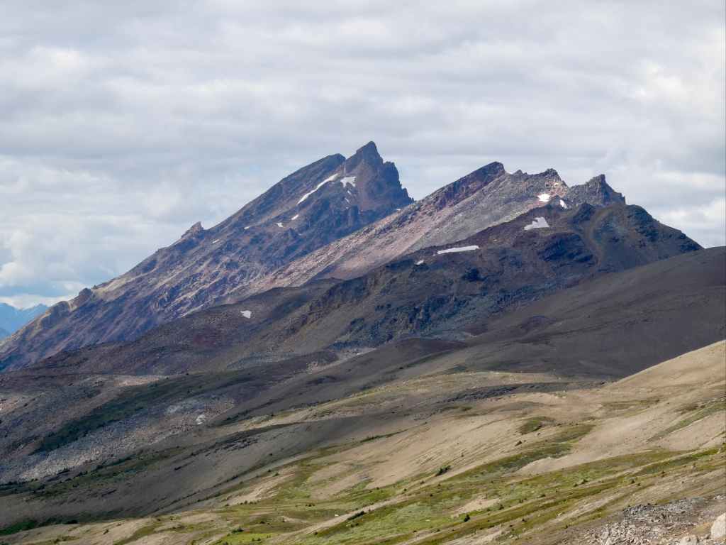
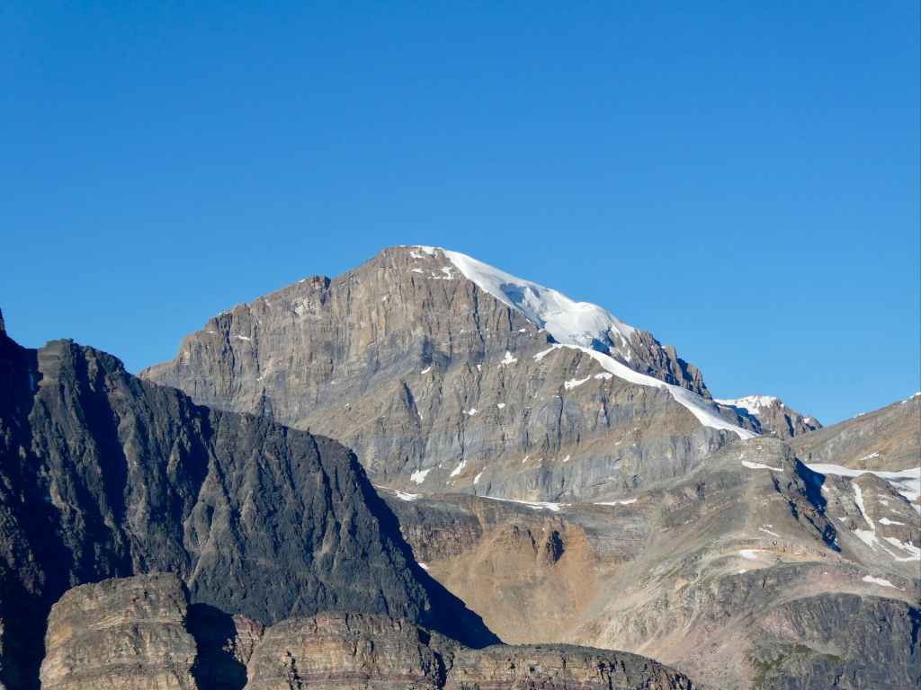
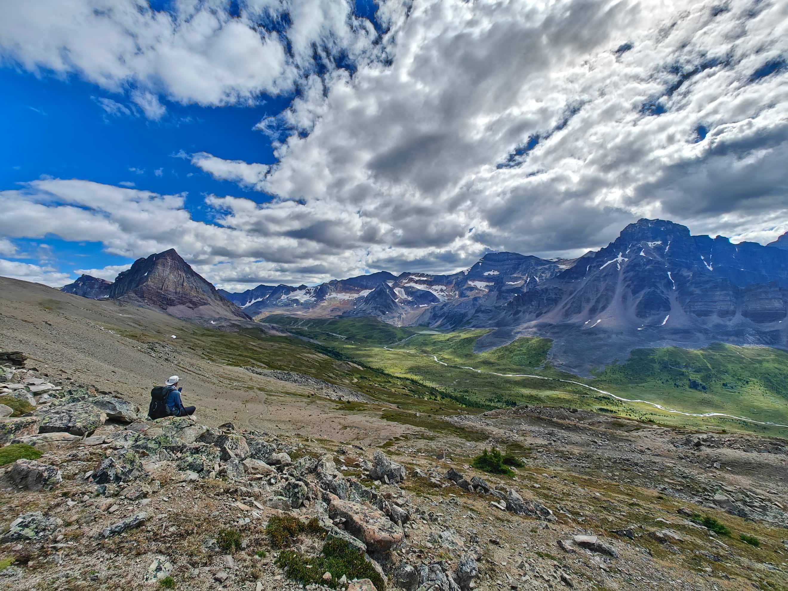
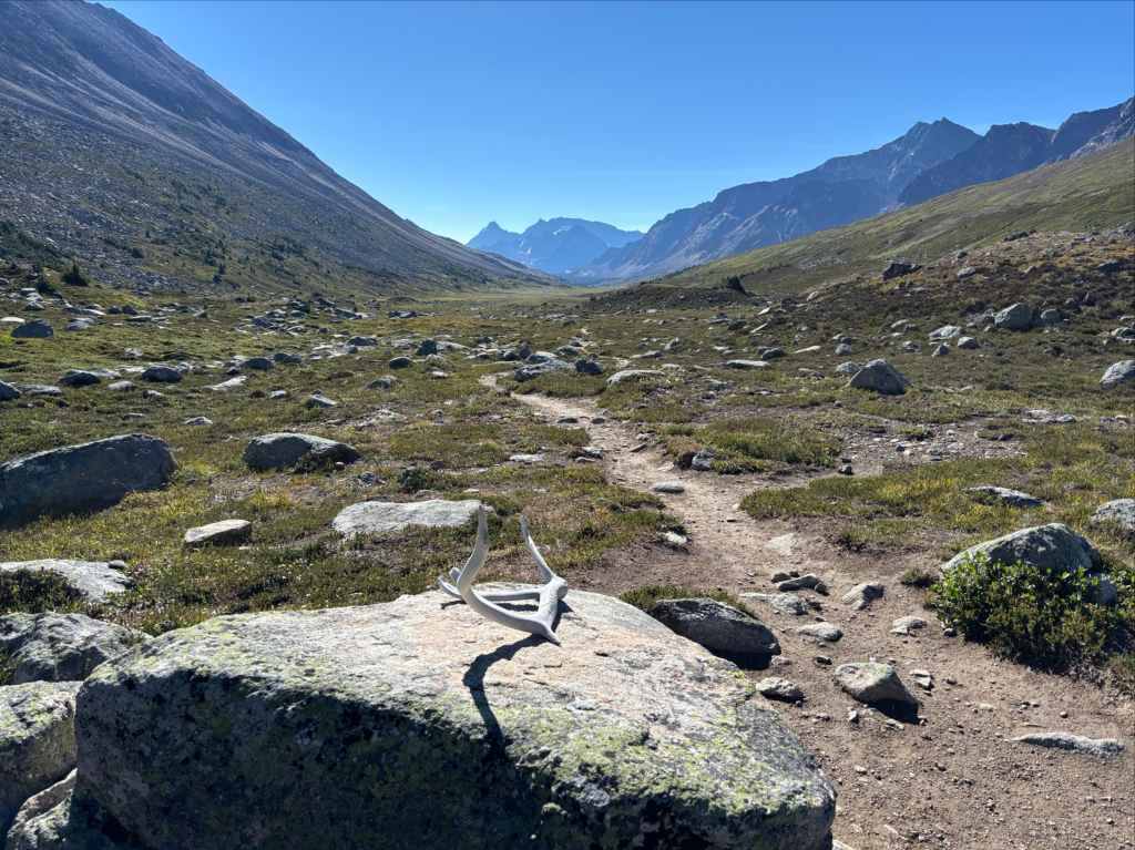
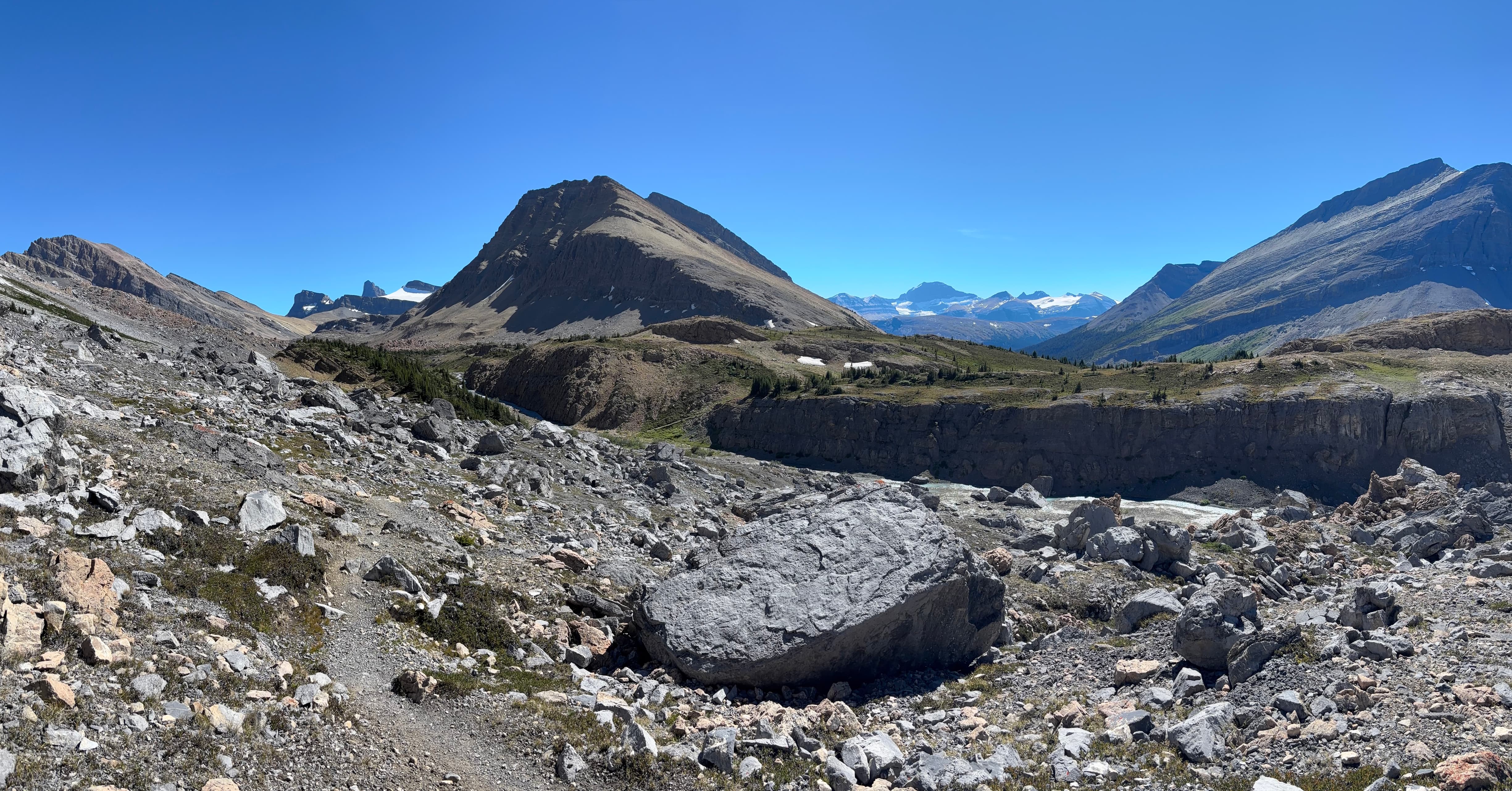
Beyond Jonas Shoulder we followed the trail as it traversed and descended towards the valley bottom. To the southwest we were treated to a view of a long, multi-peaked ridge stretching the full length of the valley, cupping areas of glacial ice and lakes. Every now and then we’d look back the way we’d come. North along the valley, beyond the spot we’d descended, were the jagged Waterfall Peaks.
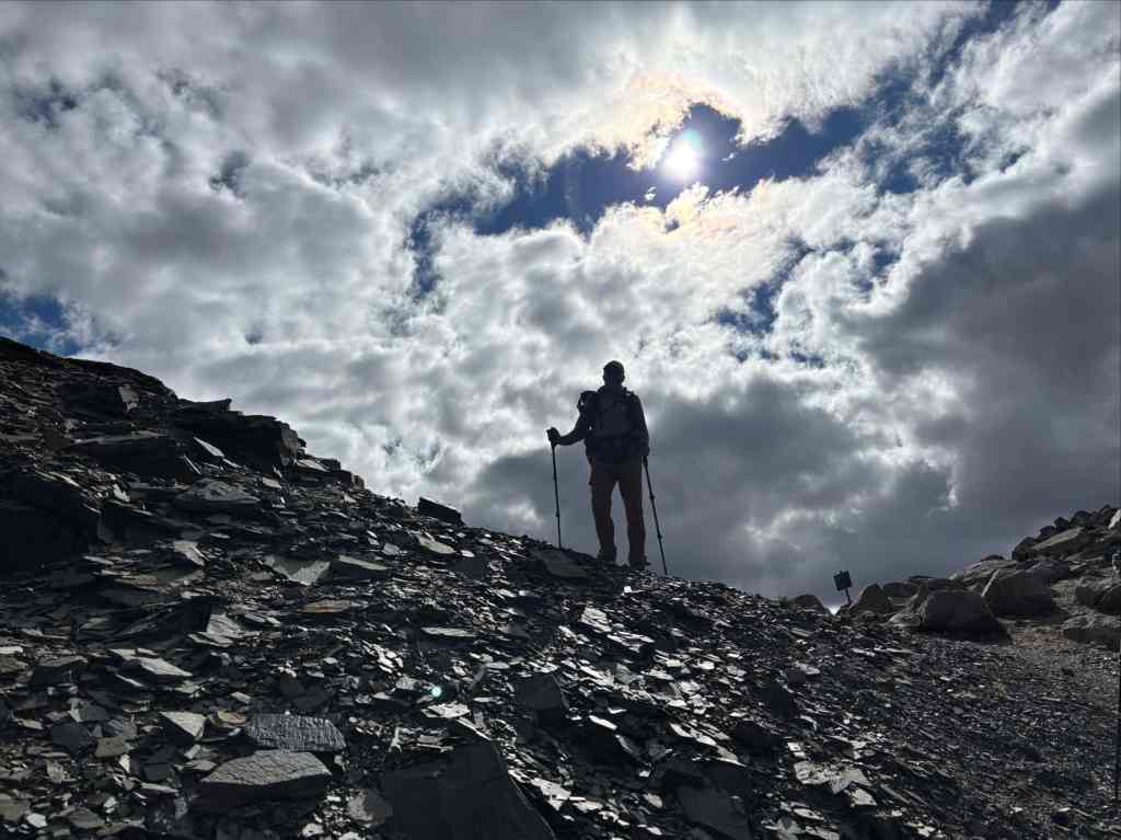
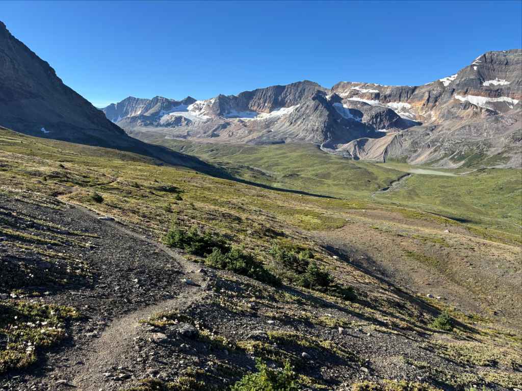
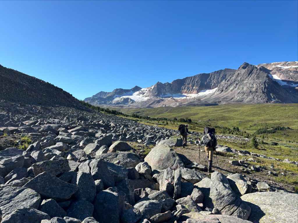
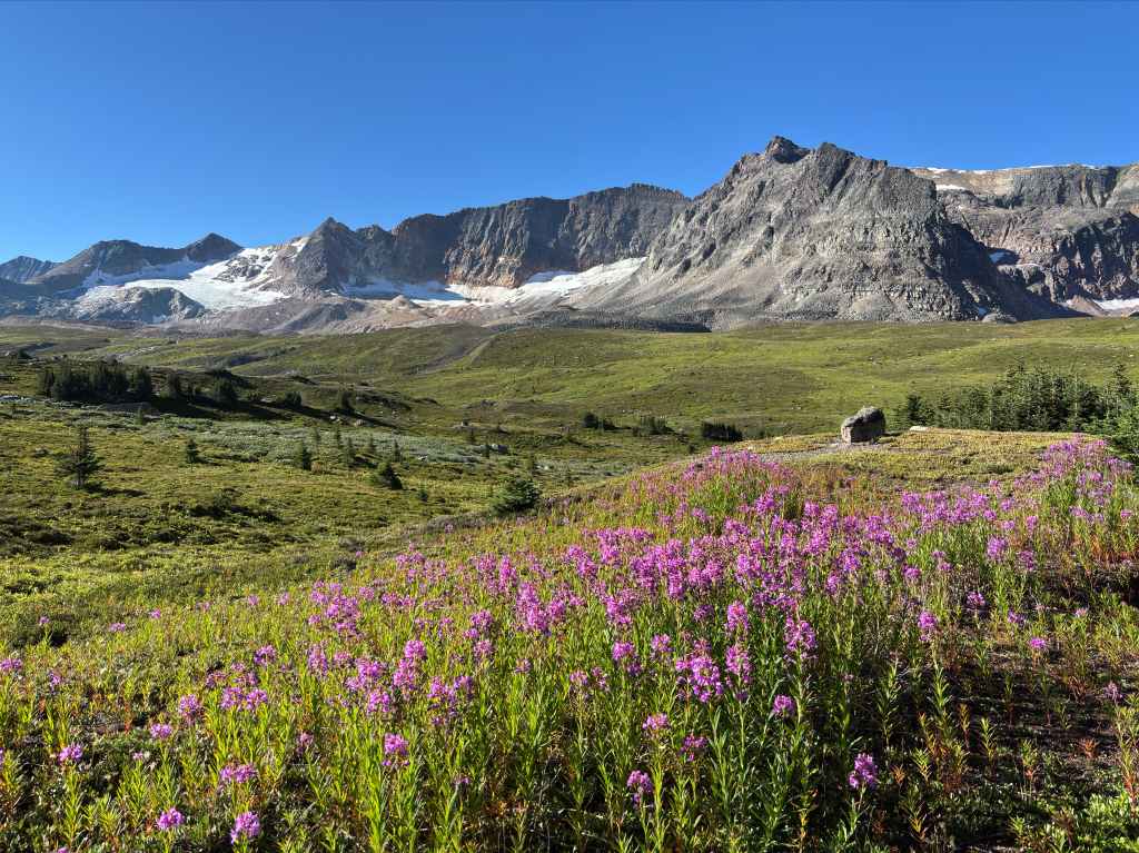
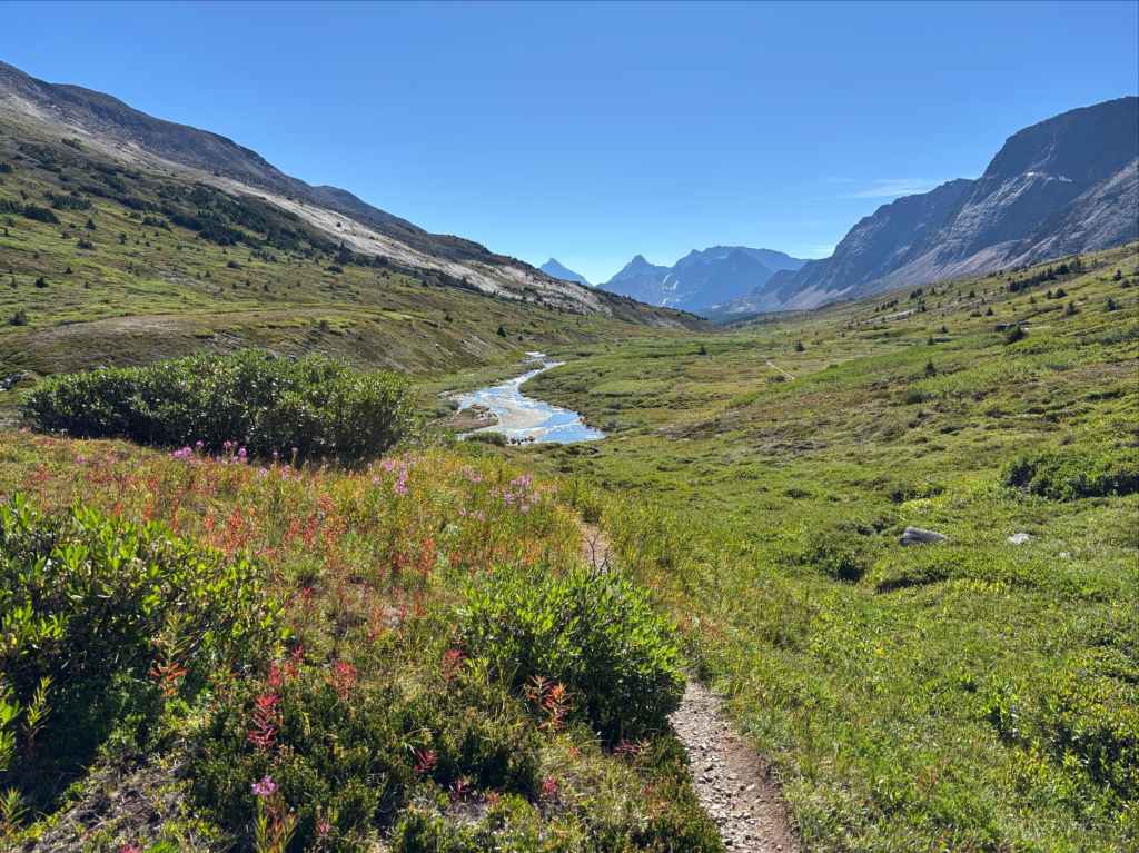
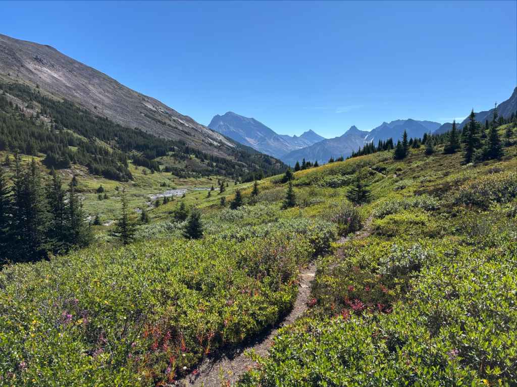
After the descent from Jonas Shoulder there was the mildest of ascents for a little over 3 km to Jonas Pass, the subtle high-point in the long north-south valley. As we passed over, new peaks came into view straight ahead and Four Point Creek came into being running downhill alongside us. The next 6-7 km were beautiful scenic hiking on a gentle downhill trail. Then we re-entered the trees, continuing gently downhill until we reached a short and steep descent that got us back to the fork in the trail just outside Four Point campground.
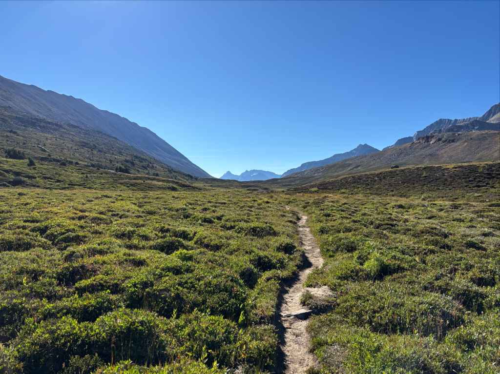
It was roughly 1pm when we reached Four Point and I was feeling energetic. The drive to get me back to Lethbridge was longer than that of my companions that just had to get back to Calgary, so we parted ways here. They took a bit of a break while I filtered water and set out again, making excellent time all the way back to the trailhead.
Final Thoughts
I really enjoyed this trip, and I think it might hit the sweet spot in terms of length. Four nights of camping is great, even if you get rained on a bit. It also helped me dial in a bit better in terms of what sort of distance I can comfortably cover in a day. Basically, it’s good to know that (on a trail) 30+ km days are not only possible but kind of fun, even with a multi-day pack and a reasonable ascent. That doesn’t mean I’ll be trying to speed-run future trips but it adds some options, especially if campsite reservations are hard to secure.
I don’t remember the last time I actually hiked in Jasper – it’s probably been over 25 years. It was great to return to Canada’s largest mountain park. Thanks to Bhaskar and Kathy who hiked the route with me. It was a great way to wrap up the summer of 2026.


Beautiful, especially those views on the final day!
LikeLiked by 1 person