May 24 – 31, 2026. A walk into the Scottish Highlands along the country’s most famous long-distance hiking trail.
- Region: Scottish Highlands, including Loch Lomond and The Trossachs National Park
- Distance: 156 km*
- Total Ascent: 4077 m*
- Total Time: 7 days
- Safety and Disclaimer
- * these are the published totals. In my day-by-day account I’ll report my personal numbers for each leg. My totals will differ from the numbers above.
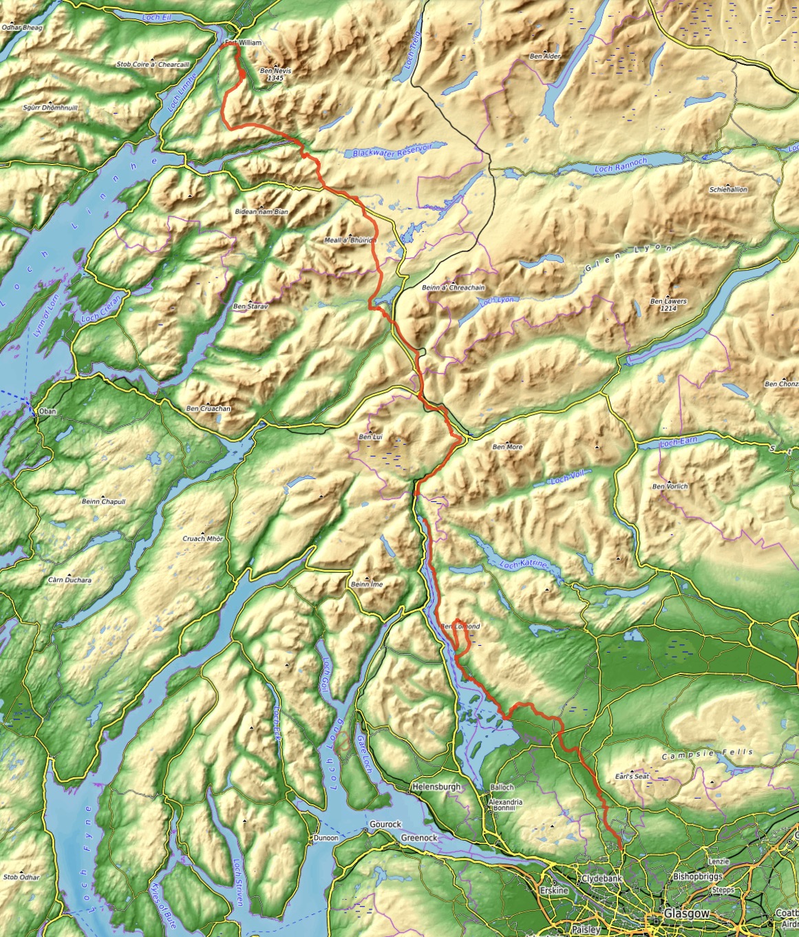
At some point it entered my head to make a “master list” of hikes and long-distance treks to do in my life. Populating that list involved a lot of web searches querying the world’s best hikes, and the West Highland Way consistently popped up in the results. Typically described as the premier long-distance trail in Scotland, the West Highland Way is usually hiked south-to-north starting at Milngavie (a Glasgow suburb) and finishing in Fort William (the “Outdoor Capital of the UK”). In between it crosses from the Lowlands to the Highlands, follows the banks of Loch Lomond (the UK’s largest body of fresh water), follows valleys past picturesque peaks to reach desolate Ranoch Moor, then eventually goes up and over a pass via the “Devil’s Staircase” to green valleys beyond. The Way then reaches its conclusion at the foot of Ben Nevis, the UK’s highest mountain.
Though the West Highland Way (hereafter the WHW) is a long wilderness trail, it doesn’t stray too far from civilization. Villages dot the route, providing lodgings and potential resupply. You can hike this trail as a “proper” backpacking trip, hauling all your gear with you and camping every night, or you can hike it as an inn-to-inn experience with booked accommodation to ensure you have a warm, dry bed every night. You can also make use of one of many baggage transfer services that can pick up and deliver your luggage every day, leaving you to hike more easily with just a day pack. This is what I did. The WHW was my first experience with the inn-to-inn, baggage transfer style of hiking…and it was pretty nice.
The WHW is very popular, so planning well in advance is essential. It’s possible to make all your own arrangements, but there are also companies that can sell you pre-booked packages. Naturally, the latter will cost you more. I was slow in my WHW planning but was lucky to find a package available that fit my schedule. The package was offered by Absolute Escapes, a company based in Edinburgh. This post is in no way sponsored by them, but I’m happy to say that I was very satisfied in my dealings with them and would recommend them without hesitation.
The typical itinerary on the WHW is 7 days, not including the arrival day in Milngavie. There are a few variations in the exact stops people make in the first few days, but my itinerary was as follows:
- Milngavie
- Drymen
- Rowardennan
- Ardleish/Ardlui
- Tyndrum
- Kingshouse
- Kinlochleven
- Fort William
I had some side-trips planned out to climb peaks along the way if the weather cooperated. I only managed to climb 2: Ben Lomond and Ben Nevis. Ben Lomond was done as an add-on, first thing in the morning on the Rowardennan to Ardleish/Ardlui leg. Ben Nevis was done the day after I finished the WHW.
Day 1: Milngavie to Dryman
- Distance: 19.6 km
- Ascent: 233 m
- Time: 4h 6m
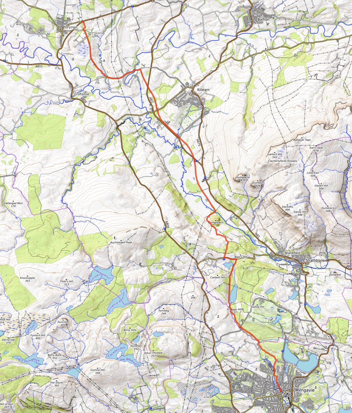
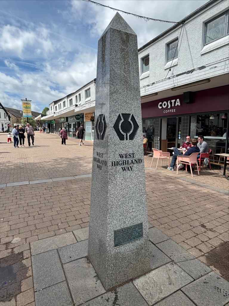
The first leg of the trip was an easy departure from the suburban landscape into the countryside north of Milngavie. The WHW starts from a pedestrianized town centre in Milngavie, at a site marked by an obelisk and a metal gateway. I filled my water from the public tap and took a picture of the landmarks before I got on the trail. Beyond the gateway, the trail descended to come alongside the Allander Water, then headed through a parking lot. After that it felt like it finally got going, taking me away from the city. Initial walking alongside a road finally gave way to trails through woods and fields. On the day I set out, the weather was clear and warm. This would be the theme for the first half of my walk.
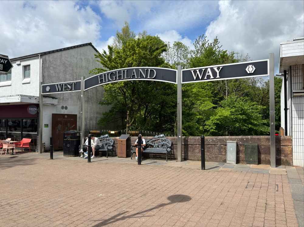
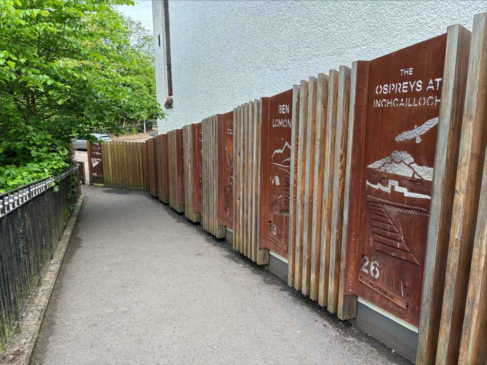
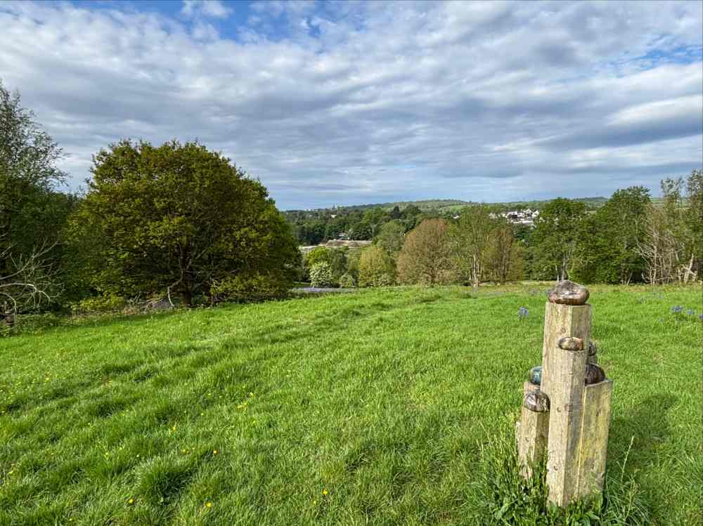
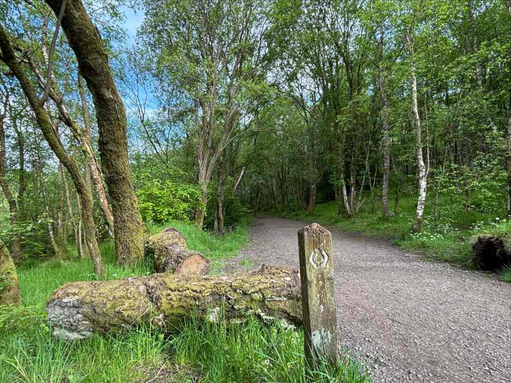
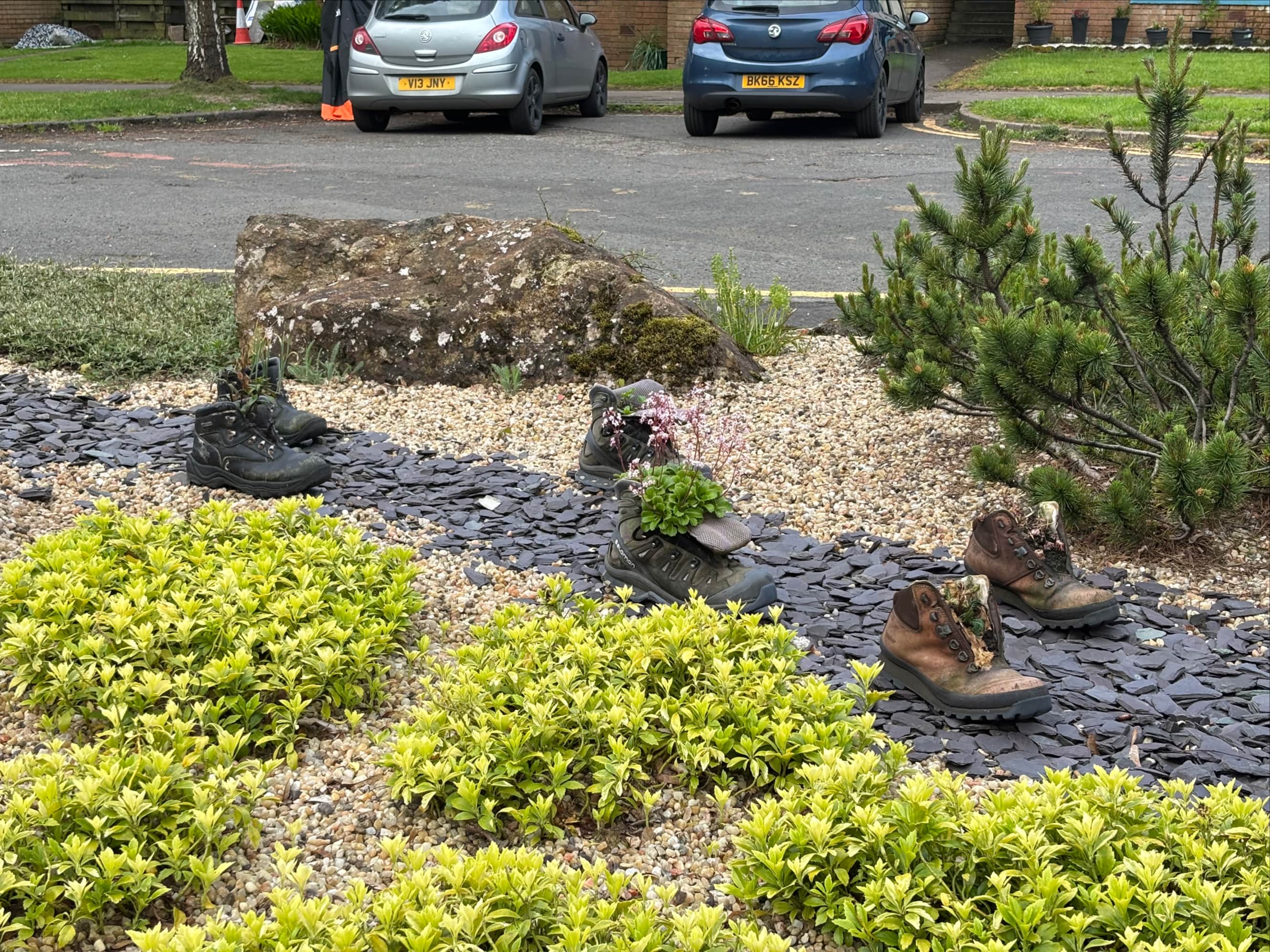
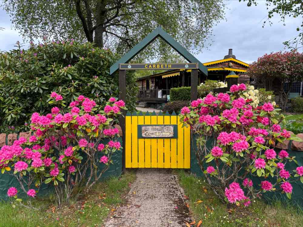
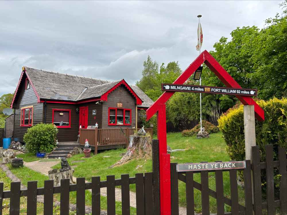
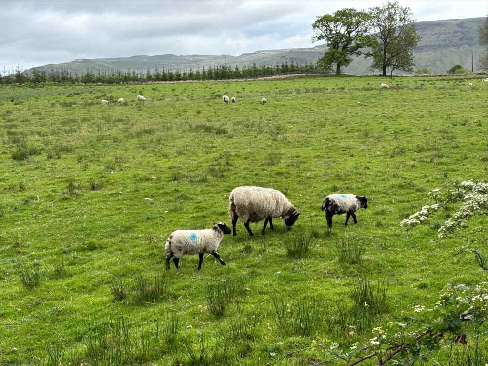
The trail stuck to the banks of the Allander Water for about 4km then broke away, passing 2 small lochs before it passed by the quaint community of Carbeth, featuring some beautifully decorated homes. A short road walk then brought me to some fields where I encountered the first of many, many sheep grazing.
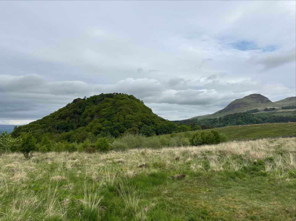
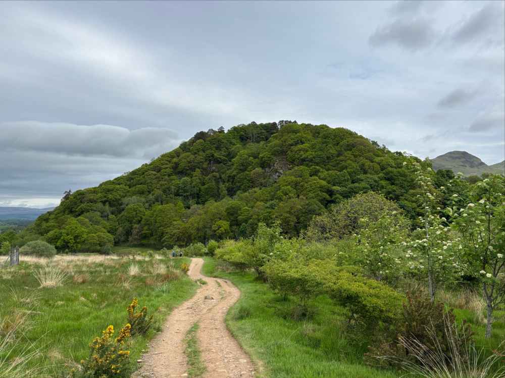
It then headed for the first interesting bits of topography: Dumgoyne and Dumgoyach. These 2 very distinct hills are volcanic plugs. Dumgoyne is the higher and is part of the group of hills called the Campsie Fells. Dumgoyach is set lower in the valley and shorter. In contrast to Dumgoyne, though, it is completely covered in forest. Near Dumgoyach is a small Neolithic stone circle from roughly 2800 BCE. I knew of the stone circle but it completely slipped my mind and I walked on by without seeing it. This is because Dumgoyach itself kept my attention so completely. It looked like where elves in The Lord of the Rings might live. I’m not the only one to make this Lord of the Rings association. Check out this website by The Northern Antiquarian for pictures and discussion. It’s not too big of a stretch to theorize that the builders of the circle chose the site for its remarkable visual qualities.
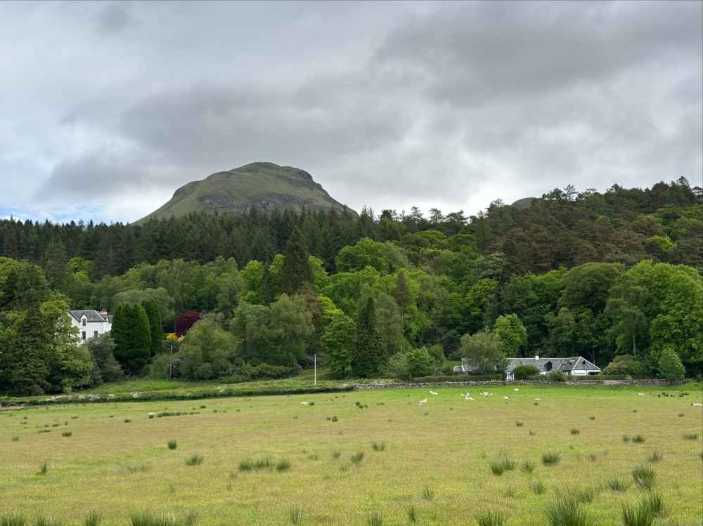
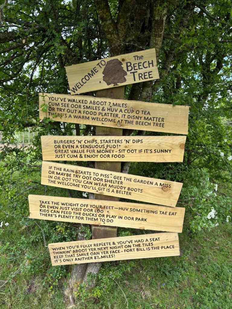
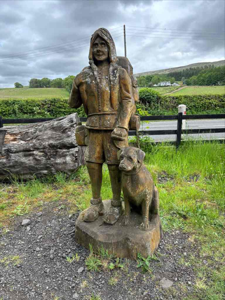
After completely missing the stone circle I went past the Dumgoyne Distillery and took a rest at the Beech Tree Cafe and Bar. I arrived fairly early, and there weren’t many people around. I didn’t need anything from the shop and cafe but I refilled my water from the their tap before carrying on.
Beyond there the Way followed alongside some motorways and then actually ran on a small backroad for a section. Walking on or near the roads wasn’t always pleasant as vehicles sometimes passed at high speeds. The elevation of the trail increased slowly and I realized I could see glimmers of a large body of water in the distance – Loch Lomond. After a regrettably tiny section of walking on grassy hills, I reached the spot where the WHW crossed the A811. There, a short connecting road went west to the B858 which I followed to my first stopover of the trip: the Village of Drymen.
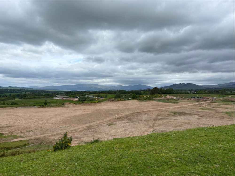
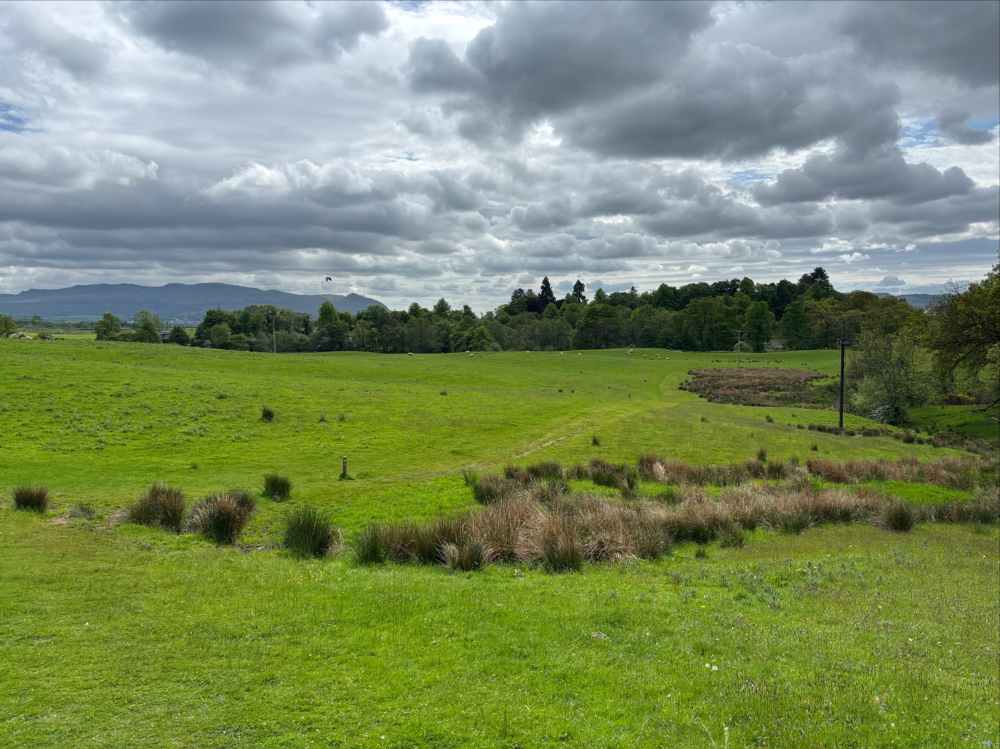
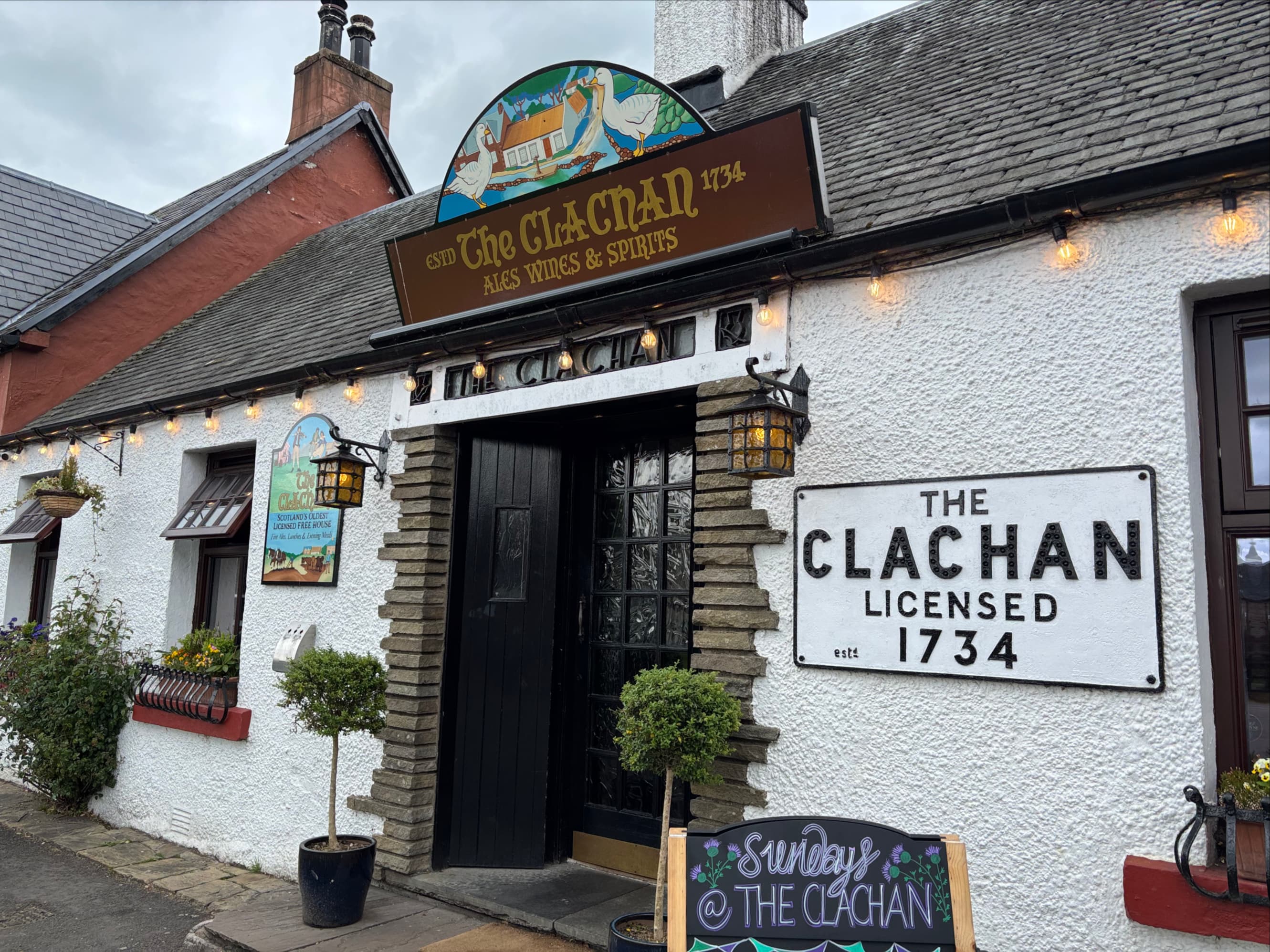
The walk took only half the day, so I had to pass some time before I could check into my B&B. I grabbed a pint from The Clachan, apparently Scotland’s oldest licensed establishment (1734) and whiled away the afternoon there and on the grass of the village green.
Day 2 – Drymen to Rowardennan
- Distance: 24.7 km
- Ascent: 753 m total ascent
- Time: 5h 43m
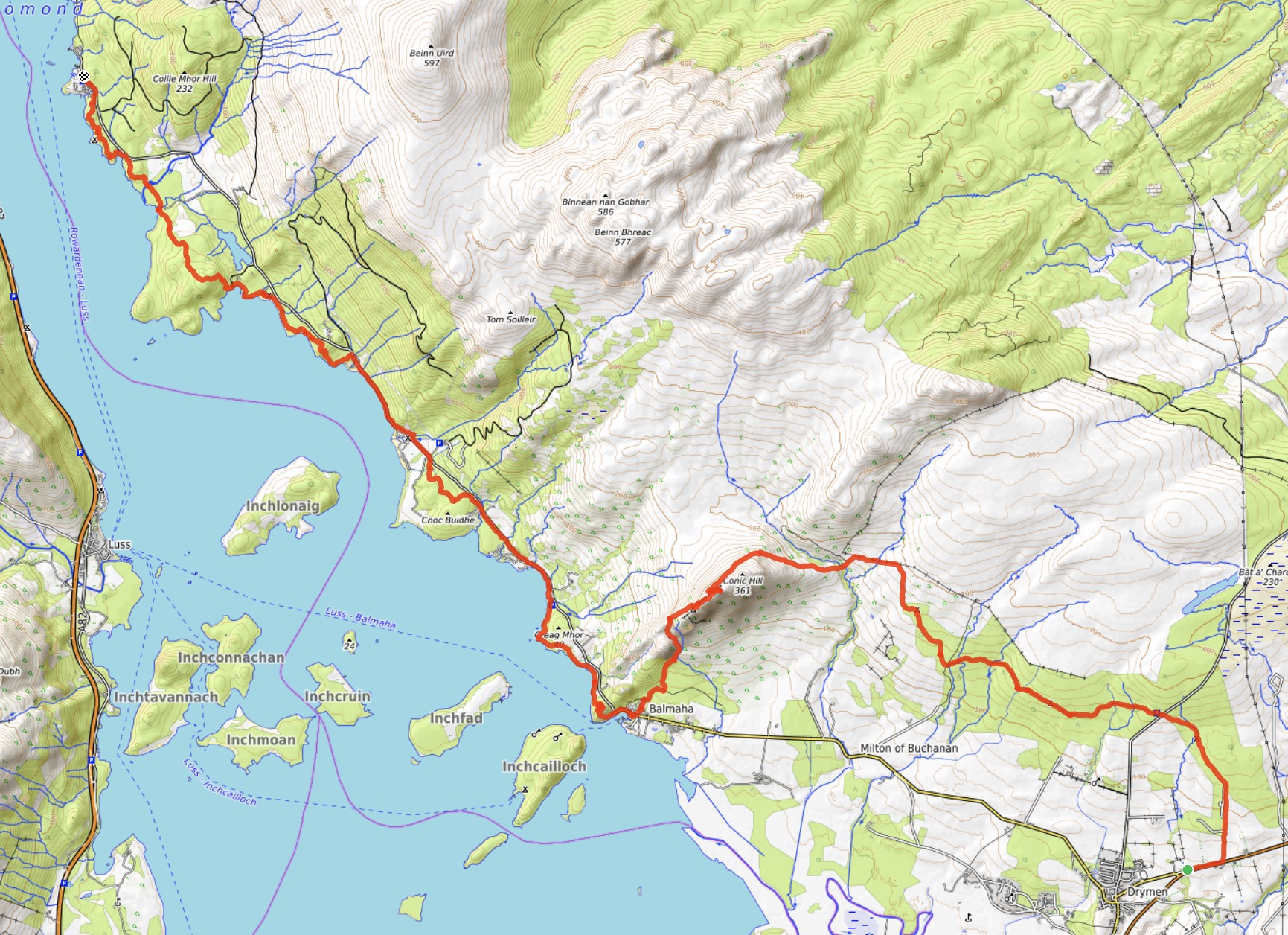
Day 2 was another day of fine weather as I left Drymen to follow the WHW as it finally made its way to the Highland Boundary Fault. This fault is the threshold between the Lowlands and the Highlands, stretching from the Isle of Arran to Stonehaven, passing through the southern reaches of Loch Lomond. The most obvious visual sign of the fault along the WHW is Conic Hill, the first notable climb of the trek.
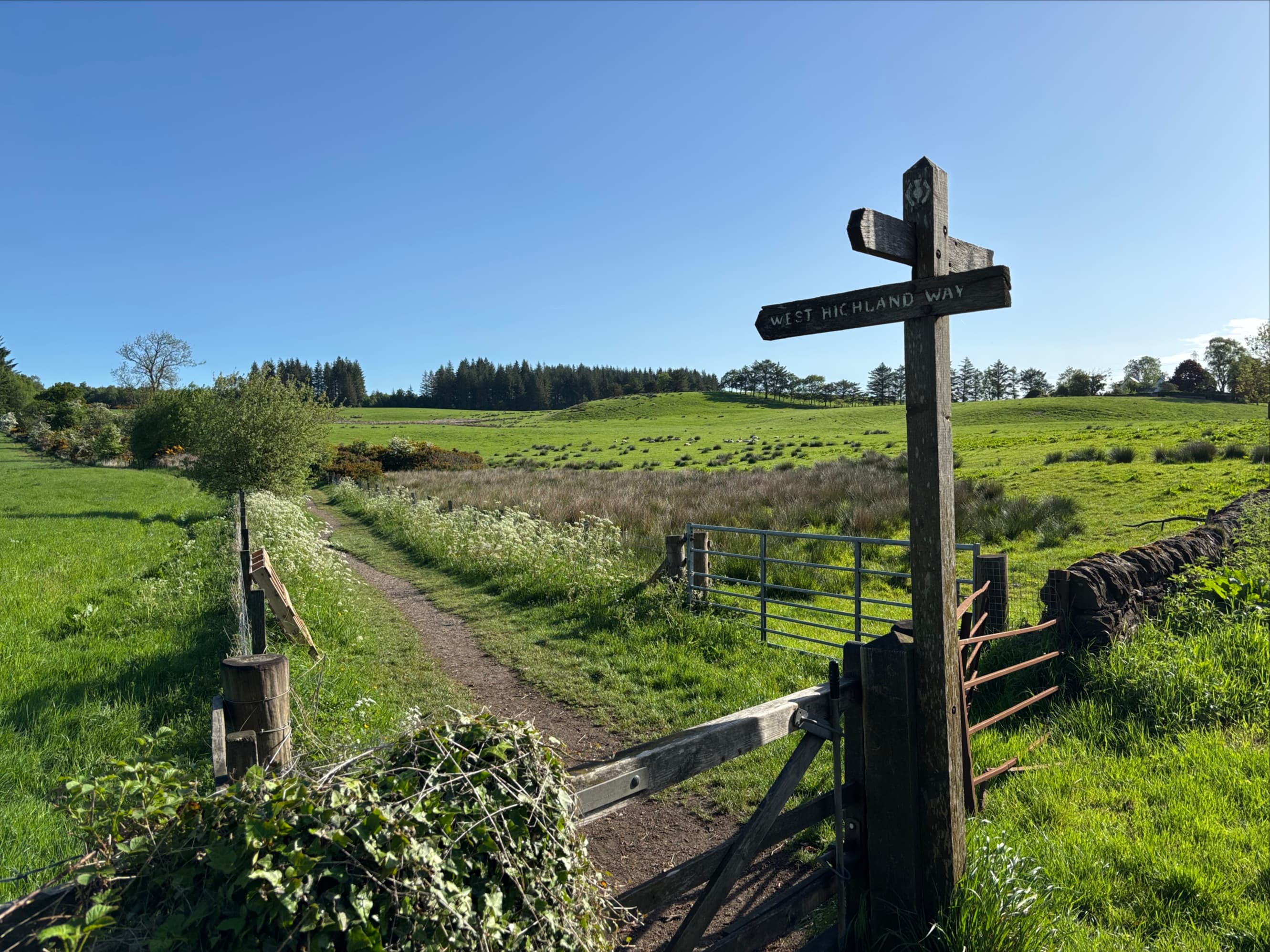
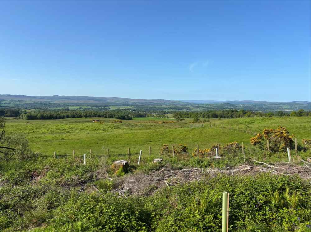
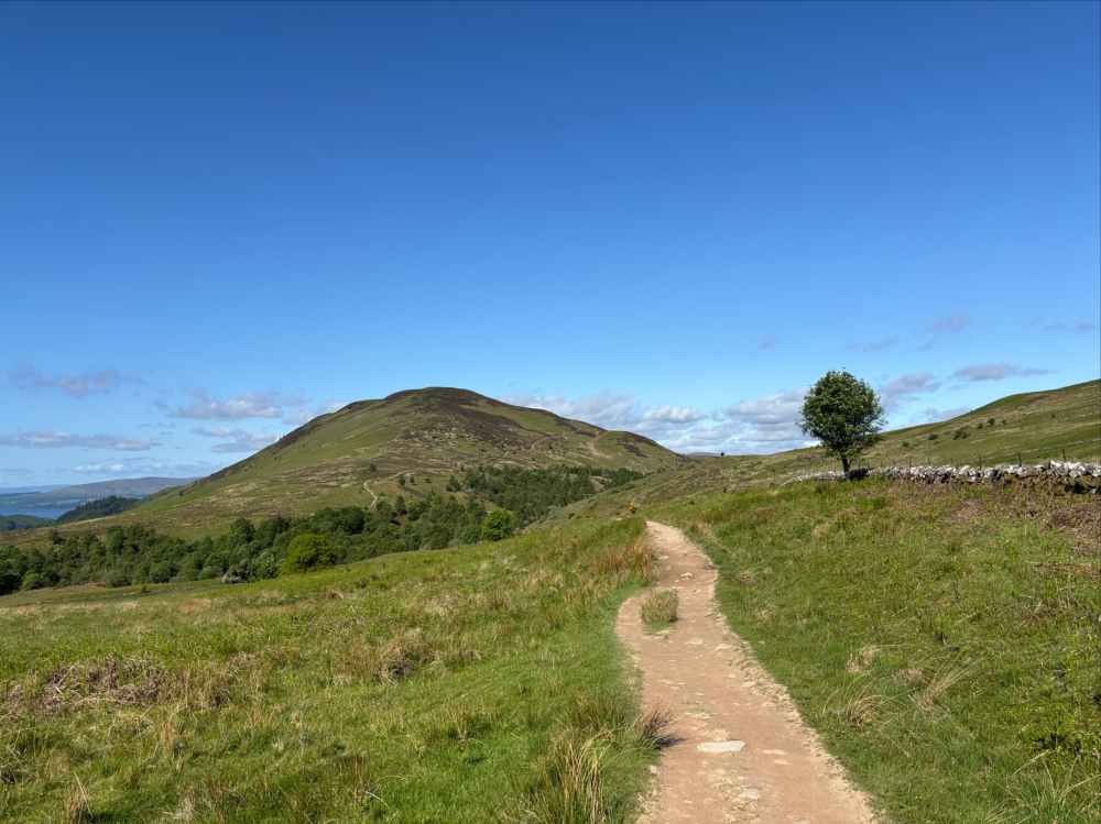
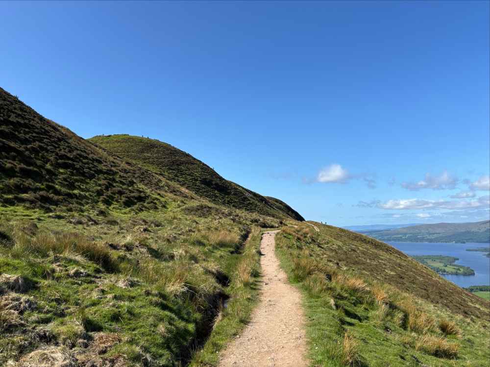
From Drymen I retraced my steps along the B858 to where I left the Way. Once back on track I followed it through a narrow hedge corridor then out between grazing fields. It rose into forested slopes and traversed for several kilometres to a point east of Conic Hill. There it descended, passed over a creek, and began a steady ascent up Conic Hill. There was an initial area of steps followed by a fairly smooth path that took a moderate grade ascending across the northeast face. Near the top, as the trail hooked around the northern aspect of the hill, tiny figures came into view on the Hill’s summit. A steep side-trail led to the summit and excellent panoramic views of the Lowlands behind, the Highlands ahead, and Loch Lomond below.
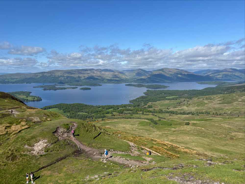
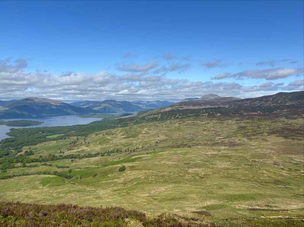
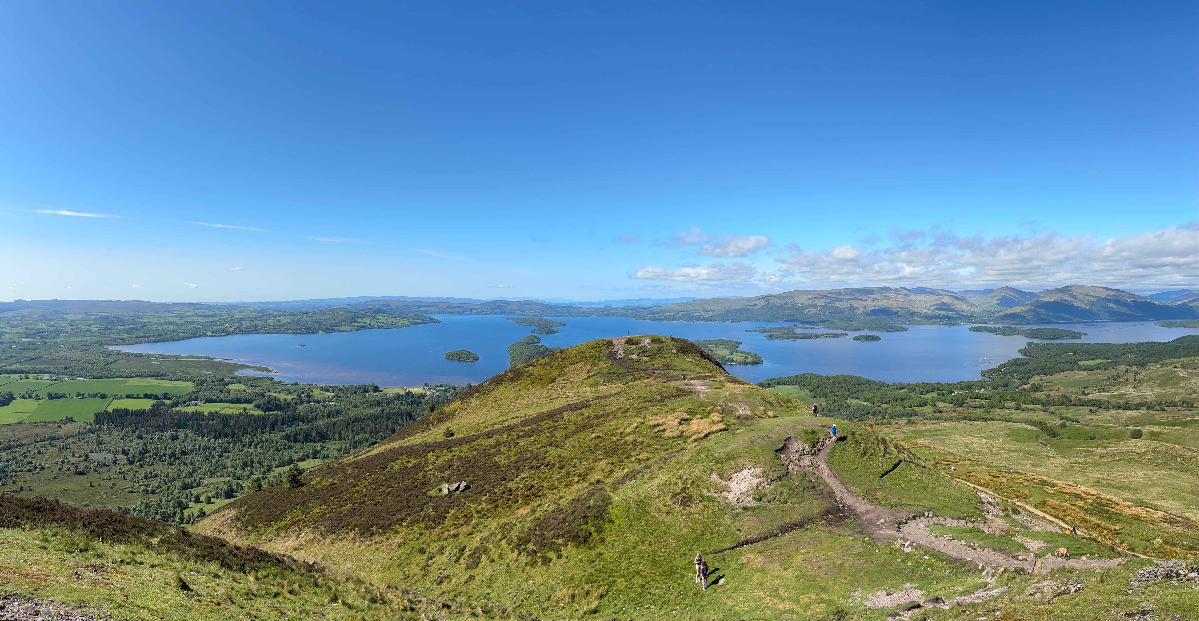
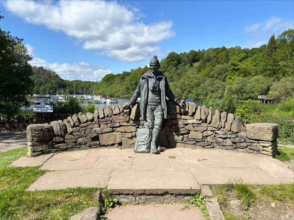
There was a notable increase in hikers once I began my descent – these were day hikers ascending from Balmaha, a village on the shores of Loch Lomond, right at the western base of Conic Hill. It was a holiday Monday, and with the fine weather huge numbers of people were visiting the area. Balmaha would make a reasonable stopping point for a snack or cold drink, but my dislike of crowds prompted me to push on through the village, stopping only briefly at the Loch Lomond and the Trossachs National Park Visitor Centre and at a charming statue of Tom Weir, “Scotland’s most beloved mountain man.”
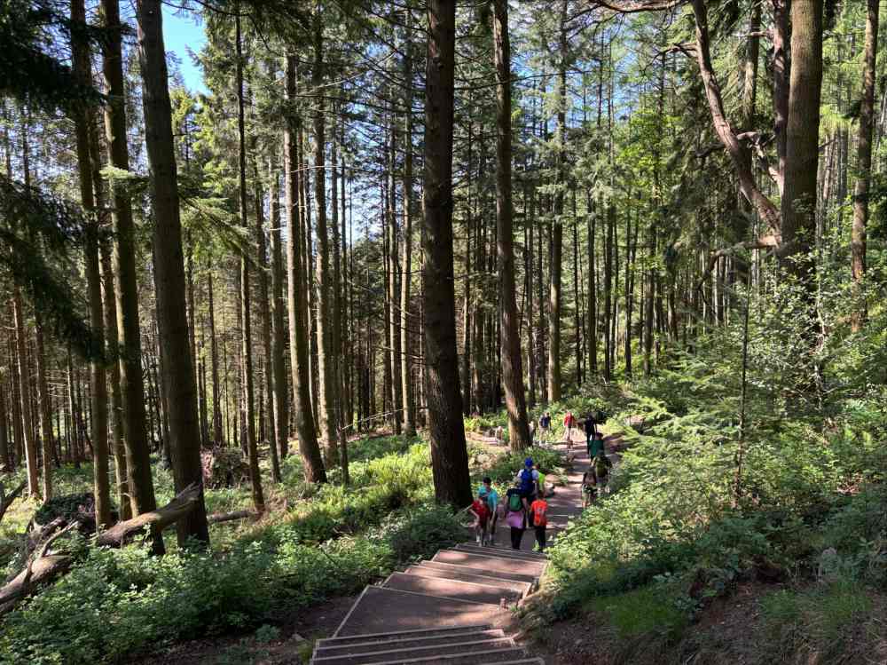
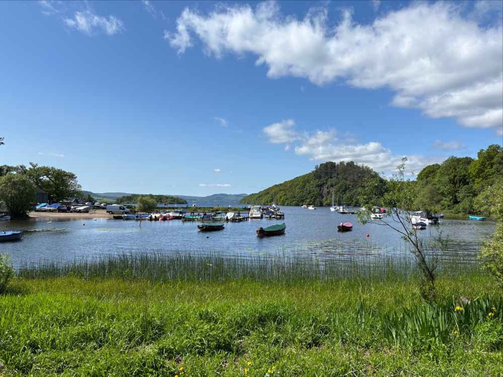
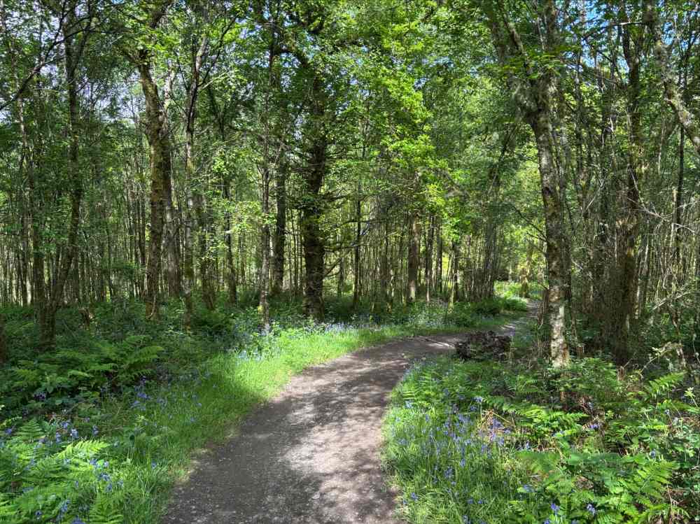
The hiking now involved following the eastern shores of Loch Lomond. For fair distances it was on or immediately adjacent to busy roads, other times it was near the beach or the woods. Overall, aside from the road walking, it had a more wild feel than the first day which was quite welcome.
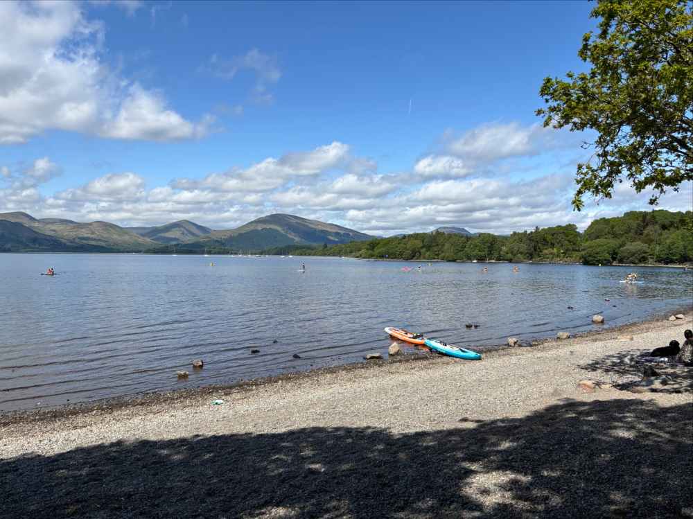
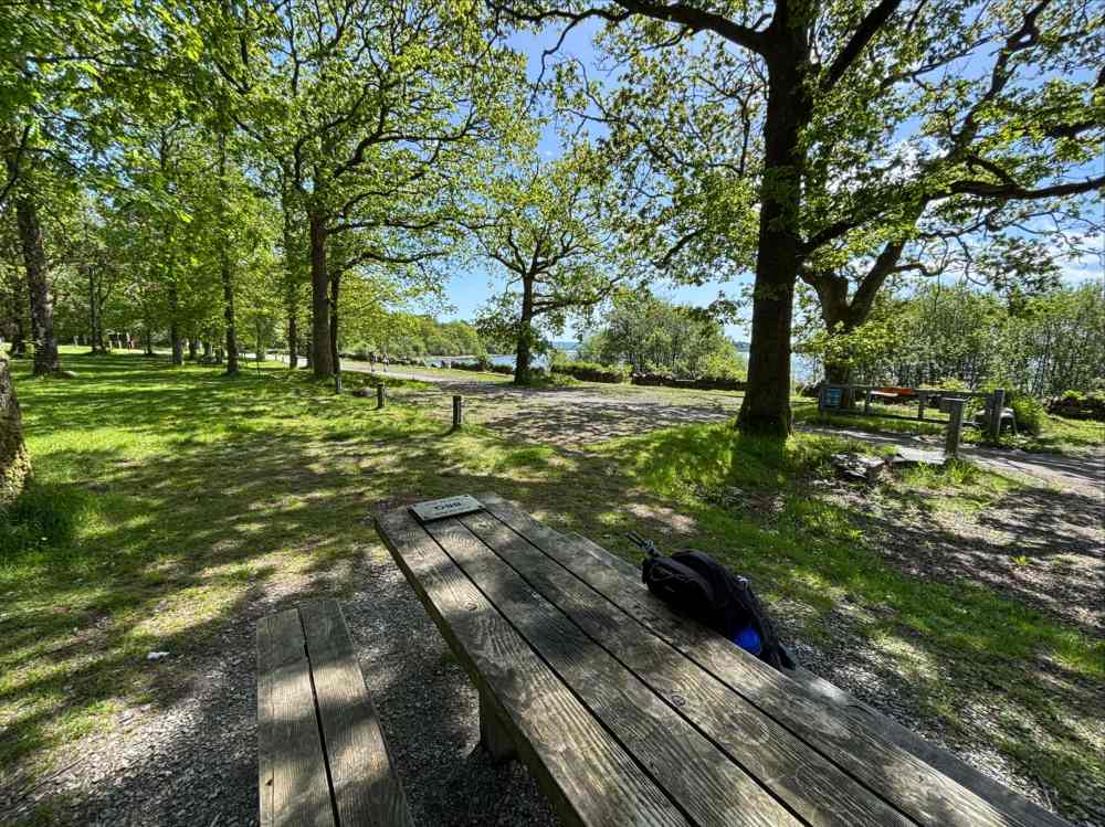
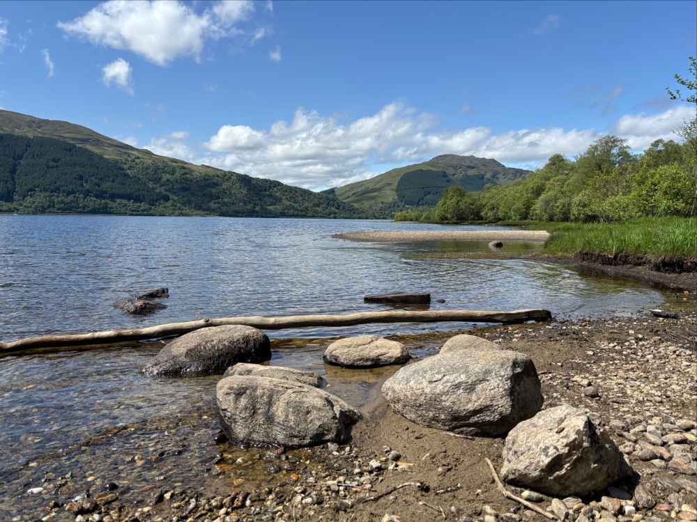
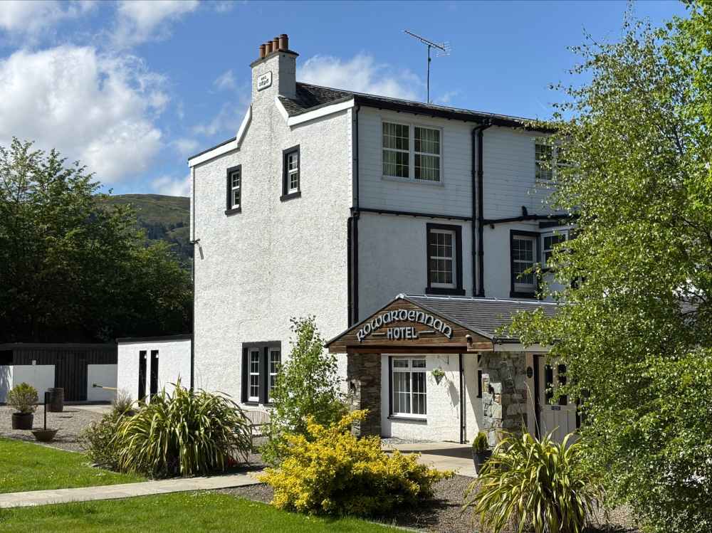
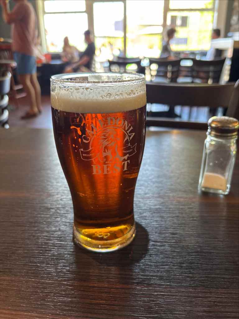
The day’s walking came to a conclusion at Rowardennan, a small community that marks the end of the access road on Loch Lomond’s east shore. I found my way to the Rowardennan Hotel. The day was actually quite warm, though I don’t know exactly what the air temperature was. Most patrons at the pub were maneuvering for patio seats but I was content to sit inside and look out over the patrons on the patio and the Loch beyond.
Day 3 – Ben Lomond Summit, then Rowardennan to Ardlui
- Distance: 30.5 km
- Ascent: 1490 m
- Time: 8h 22m
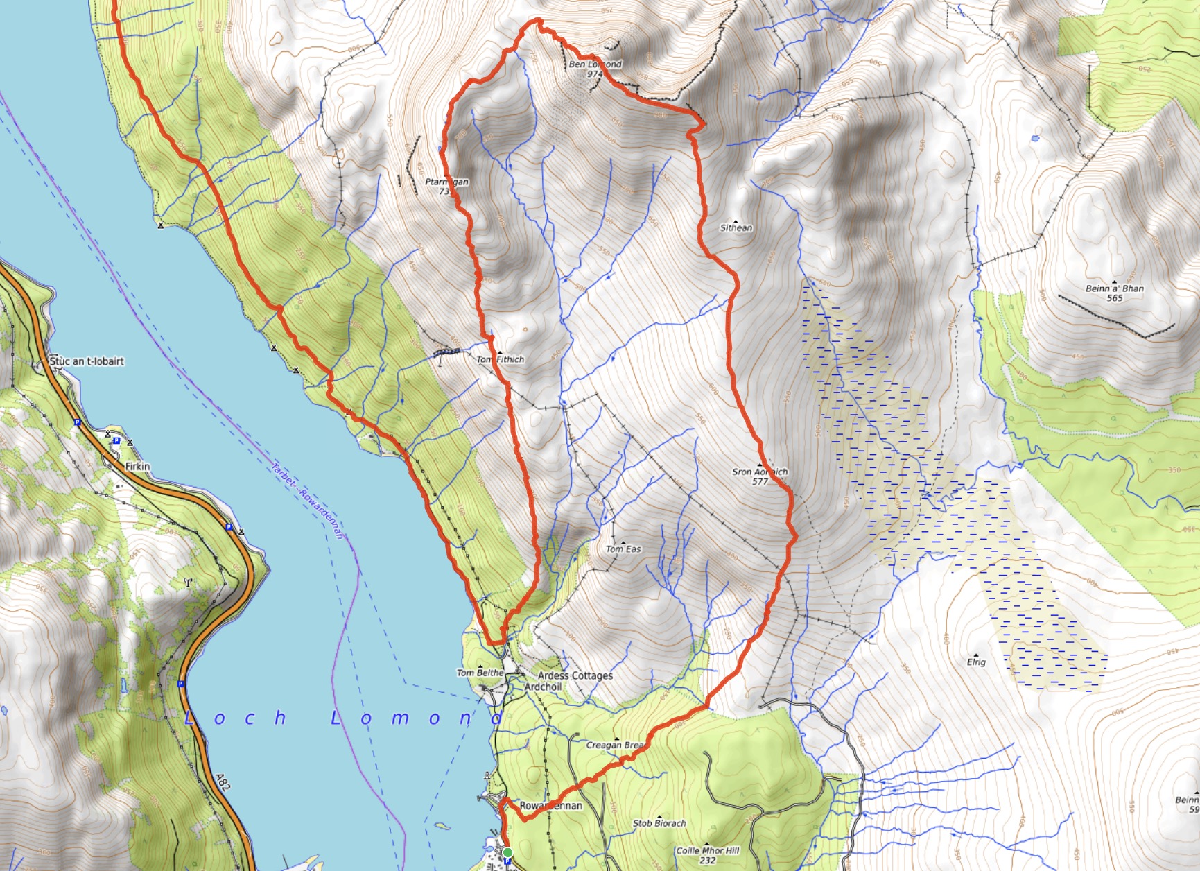
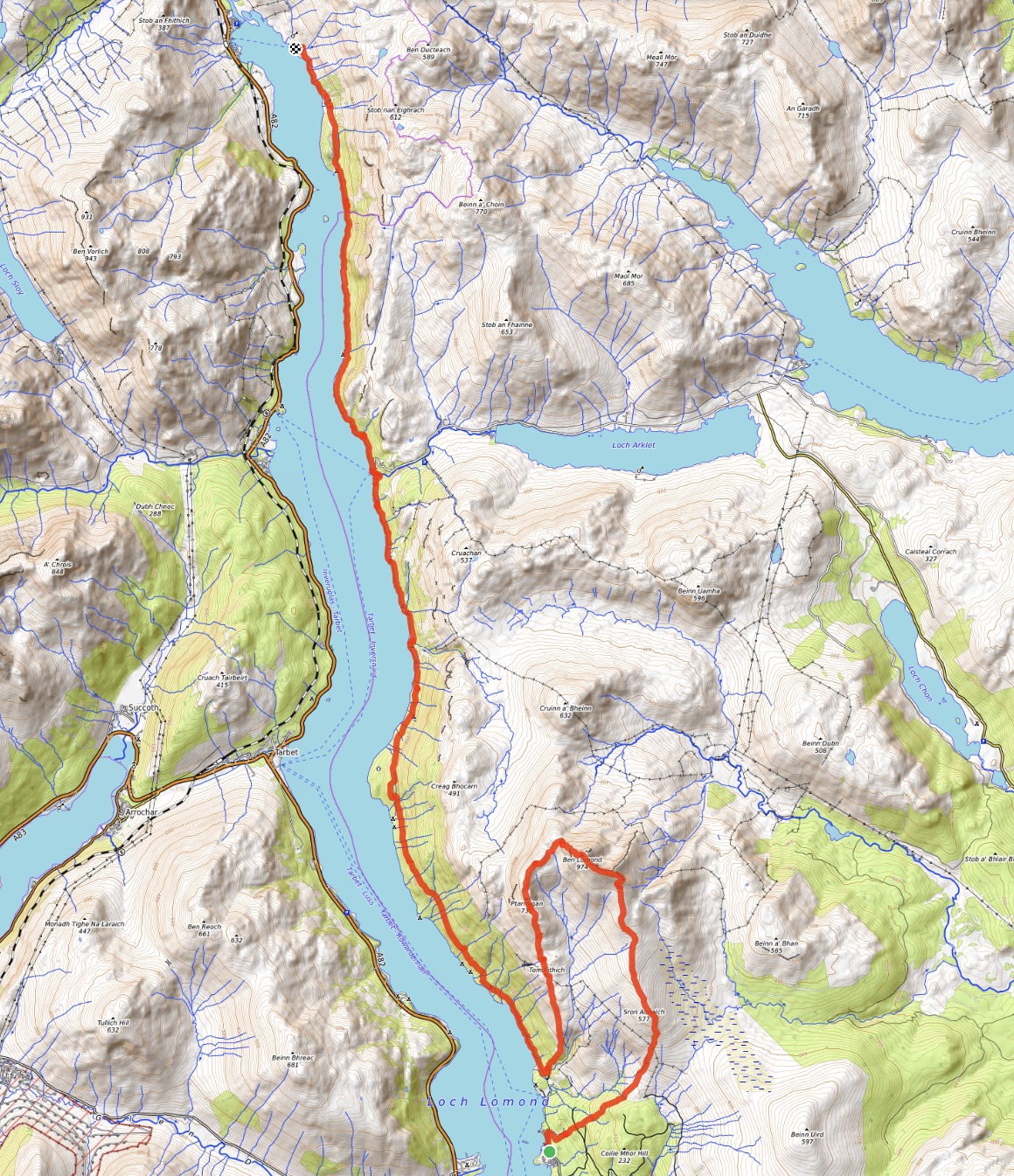
My third day involved making it to a ferry dock at a place called Ardleish so I could get across to the west shore of Loch Lomond to my hotel in Ardlui. The shoreline trail north of Rowardennan is typically described as the most difficult portion of the WHW due to its rough nature and many ups and downs. Poor weather would make it particularly difficult, but I was once again lucky to have a sunny and clear day. Since conditions were so fine I knew a small delay wouldn’t cause me to miss the last ferry so I decided to add an ascent of Ben Lomond to the start of my day.
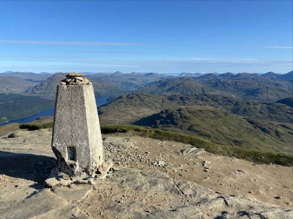
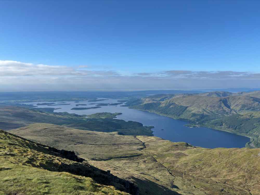
Ben Lomond is the southern-most Monro in Scotland. Monros are Scottish mountain with peaks over 3000 ft, named for naturalist Sir Hugh Munro who compiled a list of the peaks in the late 1800s. There are 2 main routes to the summit. A well-made “tourist path” is the most commonly ascended. The other route is called Ptarmigan Ridge, which is more rough, steep, and narrow. Both depart from the WHW, but the junction with Ptarmigan Ridge is roughly 1km further north than the tourist route. So I decided to ascend the tourist route and descend Ptarmigan Ridge, then carry on along with WHW to Ardleish. I made an early start and rapidly ascended the tourist path. I had the summit to myself and enjoyed distant views all around.
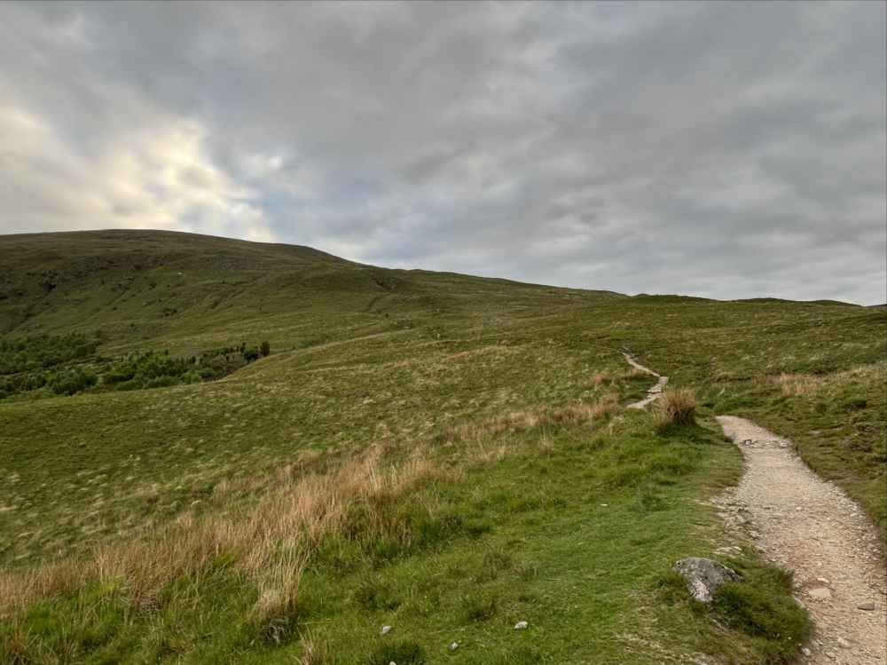
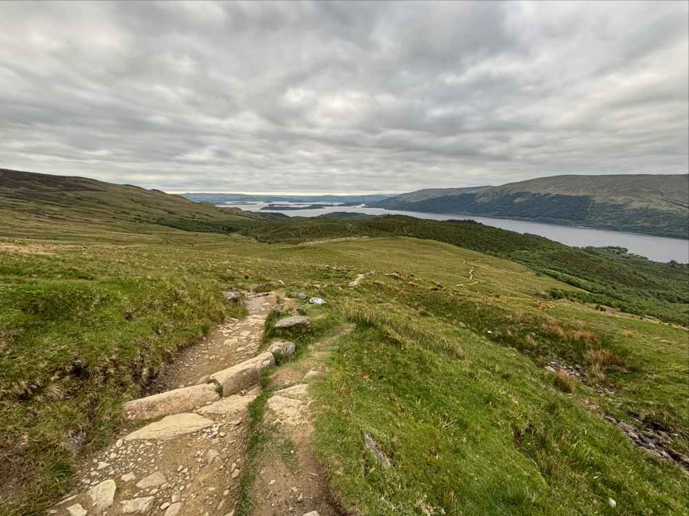
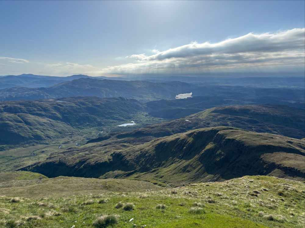
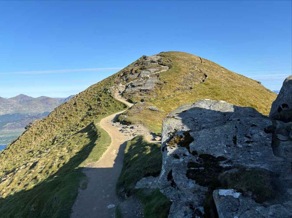
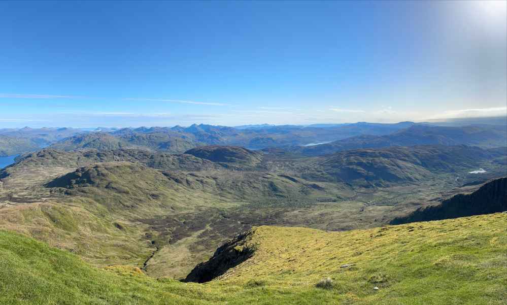
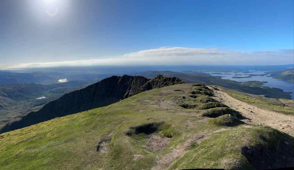
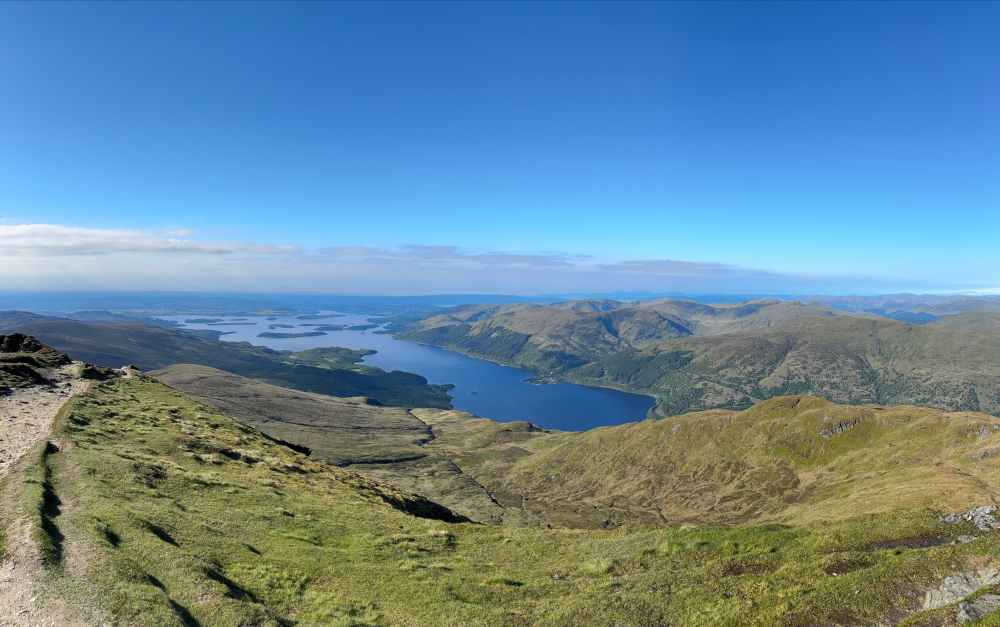
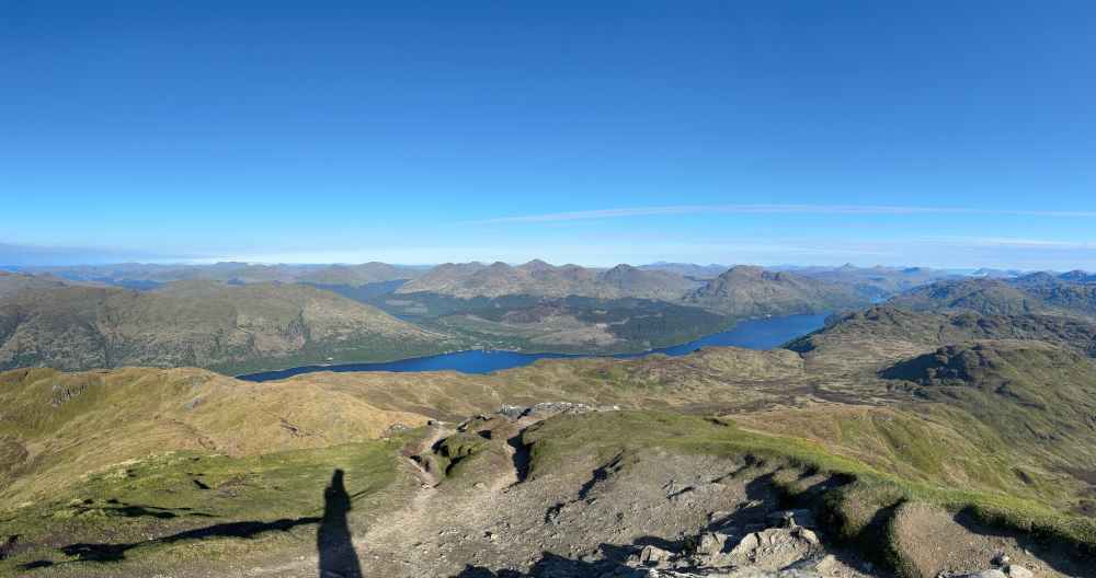
The descent on Ptarmigan Ridge was a lot of fun. The section immediately below the summit was a minor scramble, and beyond there it was an interesting and fairly rapid descent, getting me back on the WHW in fairly short order.
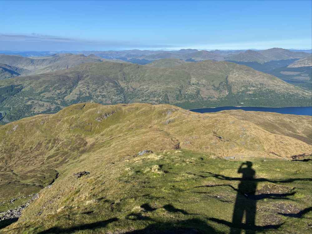
Looking down at Ptarmigan Ridge. 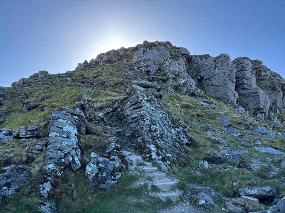
Ptarmigan Ridge was much steeper below the summit and was a minor scramble in places though there was a clear trail. This is the view looking back up after the initial descent. 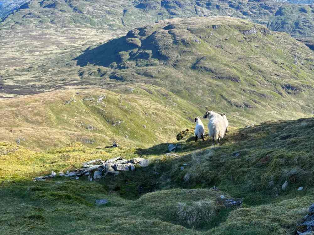
Some majestic sheep. 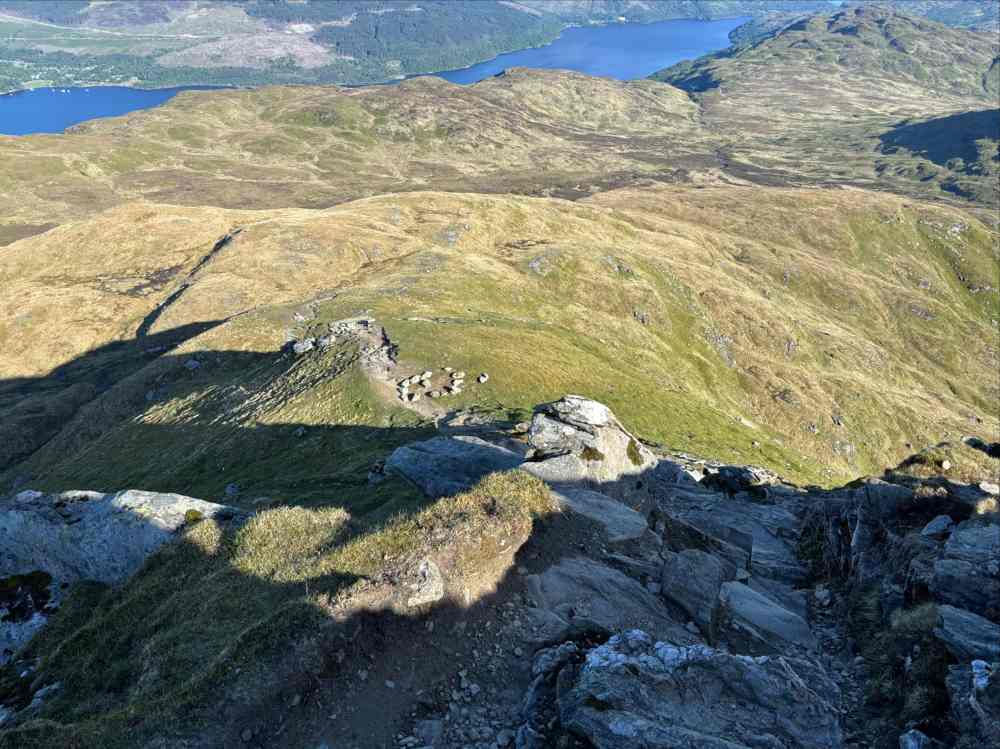
A bit of mildly steep descent. 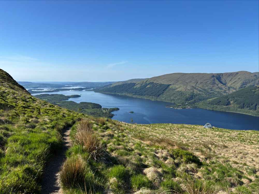
The grade eases after a while. Someone pitched a tent in this lofty clearing. 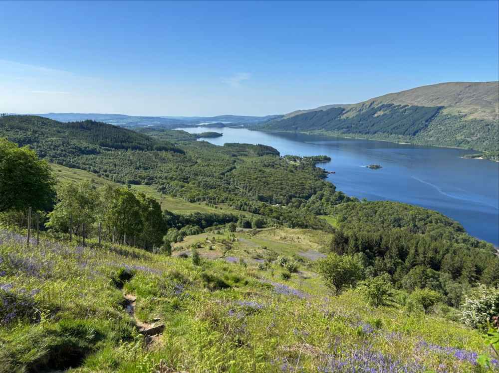
Nearly back down to the main trail. 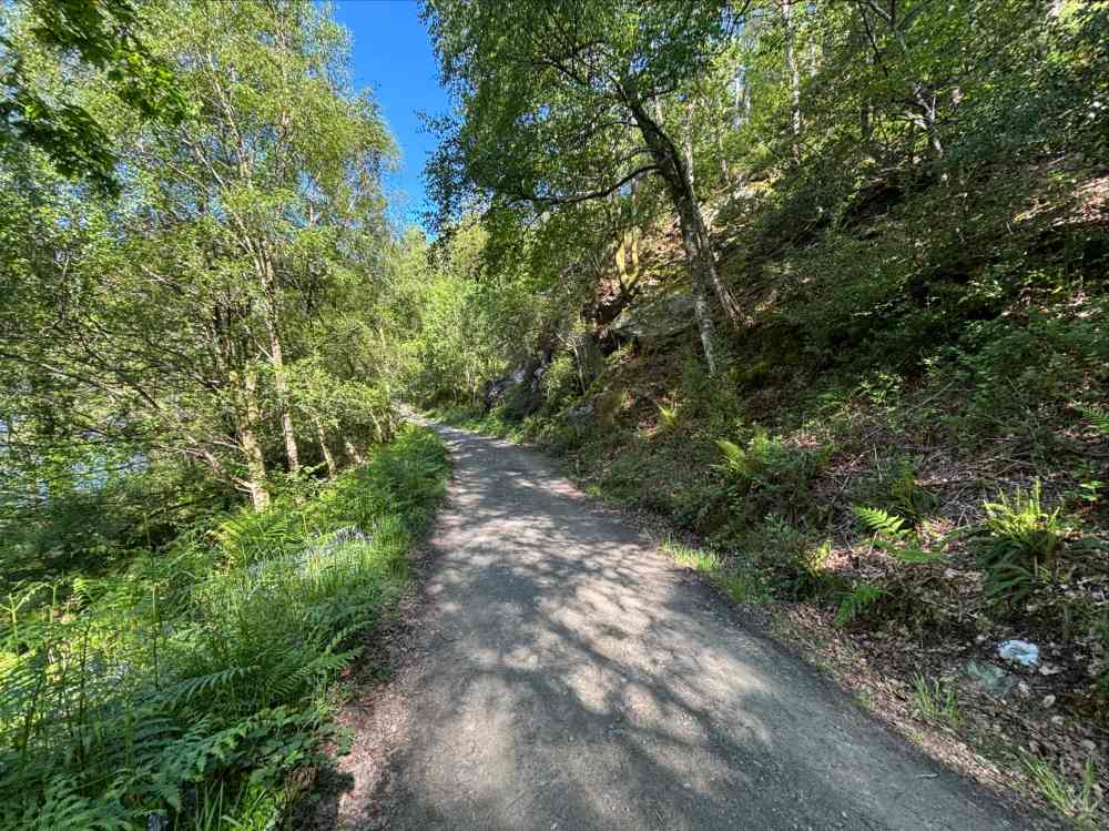
Back on the West Highland Way.
Back on the WHW I set out northward. The trail was a fairly wide and flat one, like an old road. After about 3 km I reached a fork in the path where there is the option of descending to the lower shore-side path or staying high on the road. At the time of my trip, the low path was closed for reconditioning, so I carried on with the high road. 4 km further along the two paths re-converge and I got to experience some of the rough and convoluted shore-side hiking that this part of the WHW is known for. It was lots of fun, often reminiscent of sections of British Columbia’s West Coast Trail. Roughly 2h 45m after I got back on the WHW I reached the next major landmark, the Inversnaid Hotel.
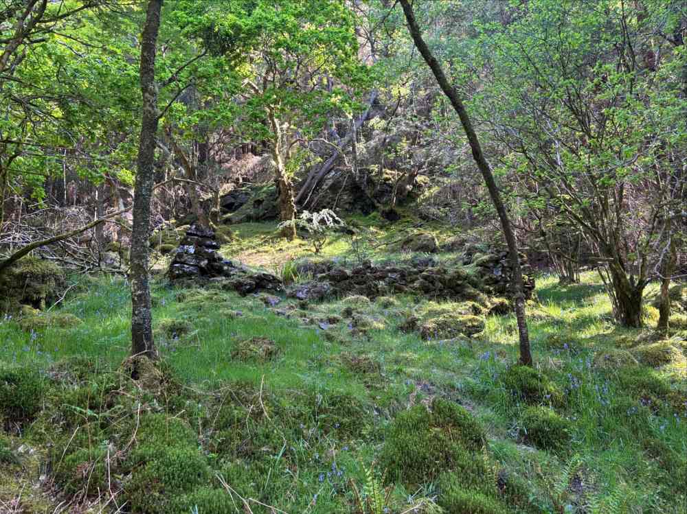
Some ruins in the forest. 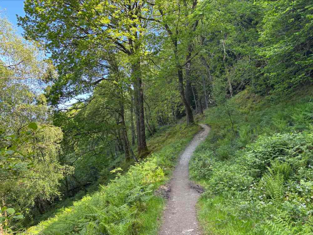
The broad road-like trail eventually turned into a forest path. 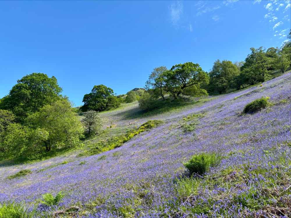
Heather covering the hillside. 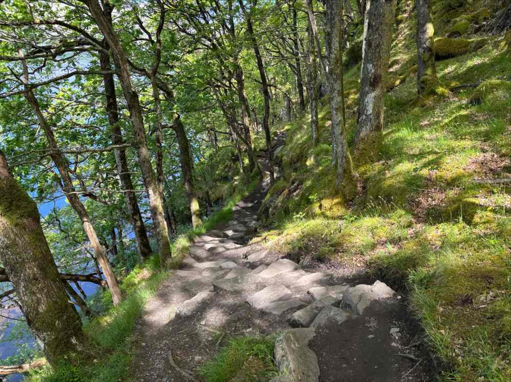
The Loch-side hiking was a lot of fun, though in wet weather with a heavy pack it would be tricky. 
I found a perfect rock to sit on down on the shore, so I took my lunch break there and didn’t stop at Inversnaid. 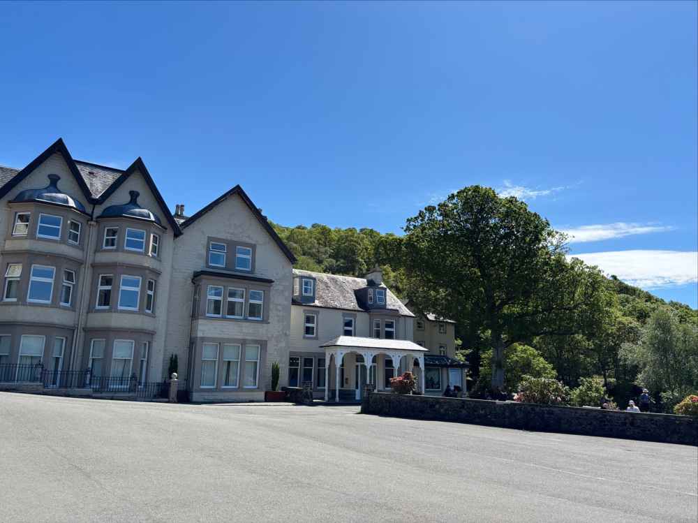
The hotel at Inversnaid. Cold drinks are available but it was very busy. I just kept walking.
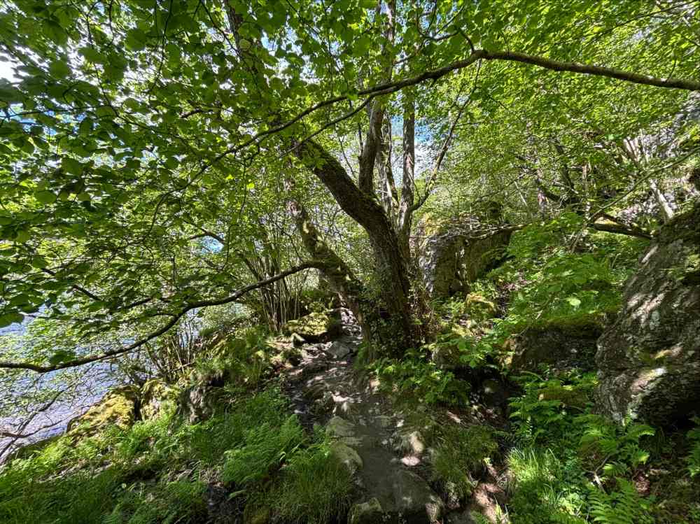
Beyond Inversnaid the trail was varied in character, sometimes narrow and pushing through rocks and trees, sometimes passing through clearings full of heather. Somewhere along the way, I passed by Rob Roy’s Cave. This is apparently where the famous outlaw hid from the authorities while on the run. It is also said to be one of the caves where another famed Scot, Robert the Bruce, hid following his defeat at the Battle of Strathfillan. Neither of these claims is likely to be correct. In any event, I missed it entirely. Reading more about it afterwards, I saw that I’d have to climb down toward the shore at the correct point and look for big white letters spelling “CAVE” (I’m not kidding) painted onto the rock adjacent to a narrow opening.
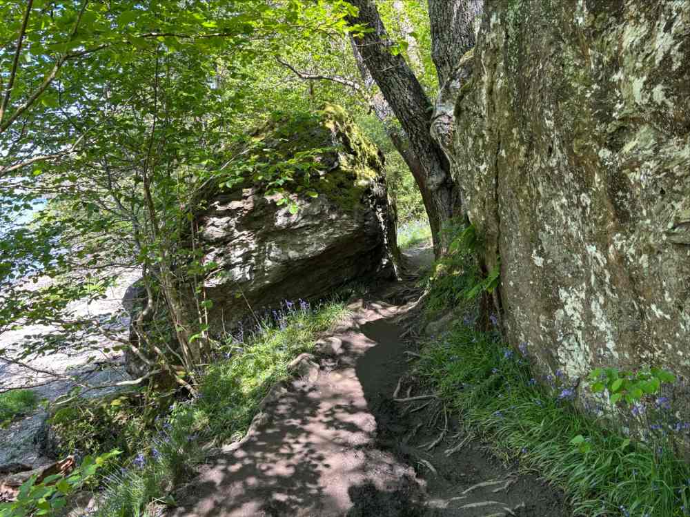
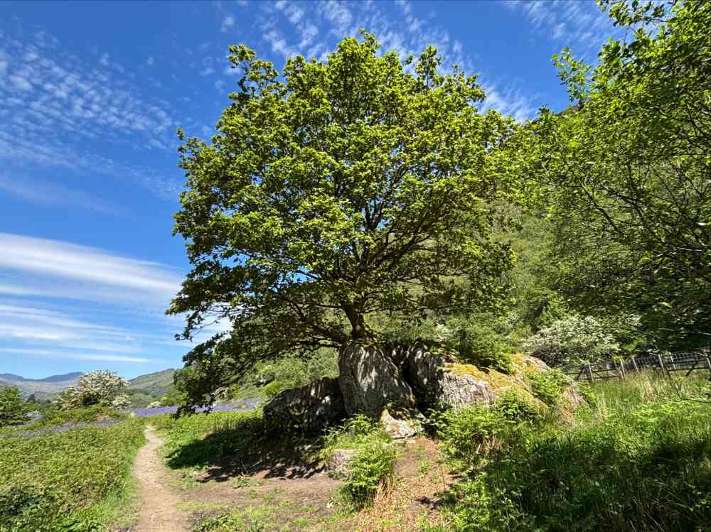
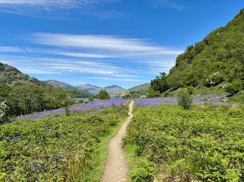
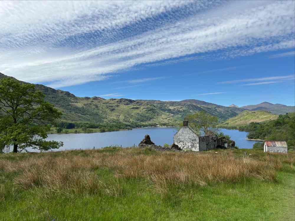
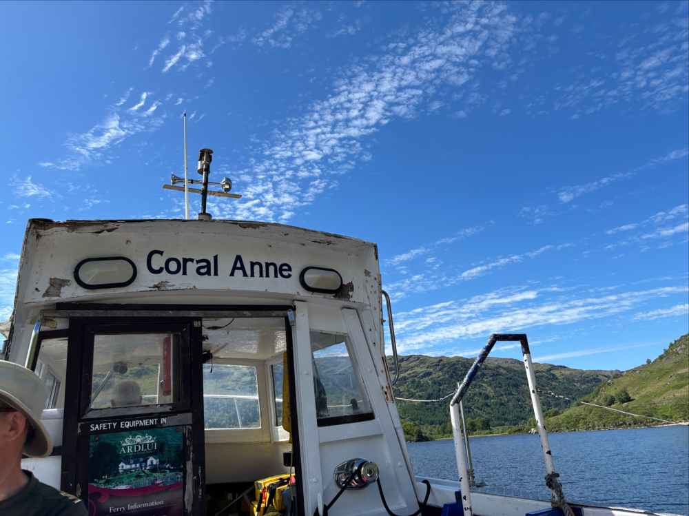
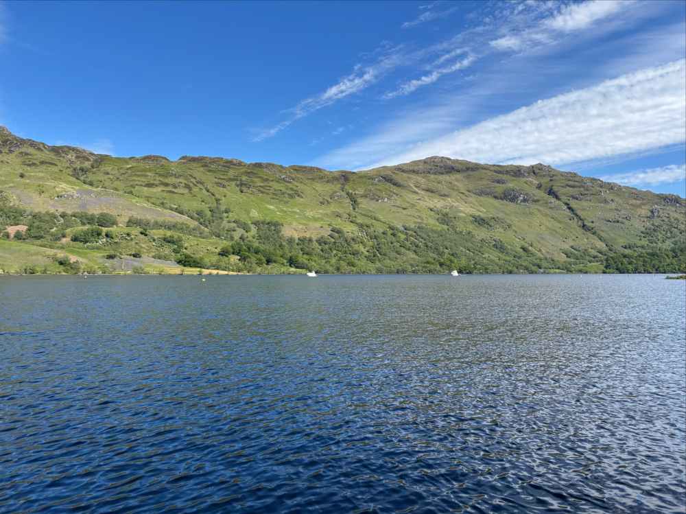
About 8h 22m after setting out in the morning I reached the ferry dock at Ardleish. I was pleased to see that some fellow Canadians that I’d met at the B&B in Tyndrum were there already, resting on the shore. We sat and chatted until the ferry arrived to take us over to the hotel in Ardlui. Ferry tickets could apparently be bought online beforehand, but I was carrying cash for this specific purpose and that seemed preferred. Despite that preference the ferryman didn’t have change, but between all the passengers we figured things out.
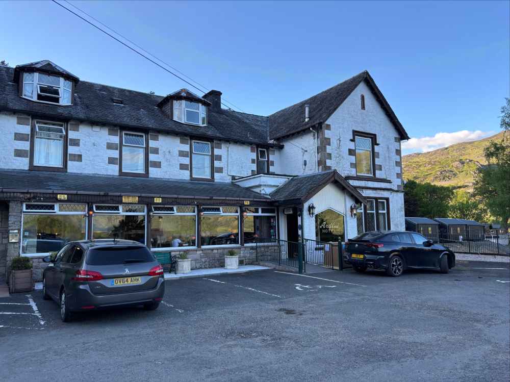
Day 4 – Ardlui to Tyndrum
- Distance: 20 km
- Ascent: 532 m
- Time: 4h 20m
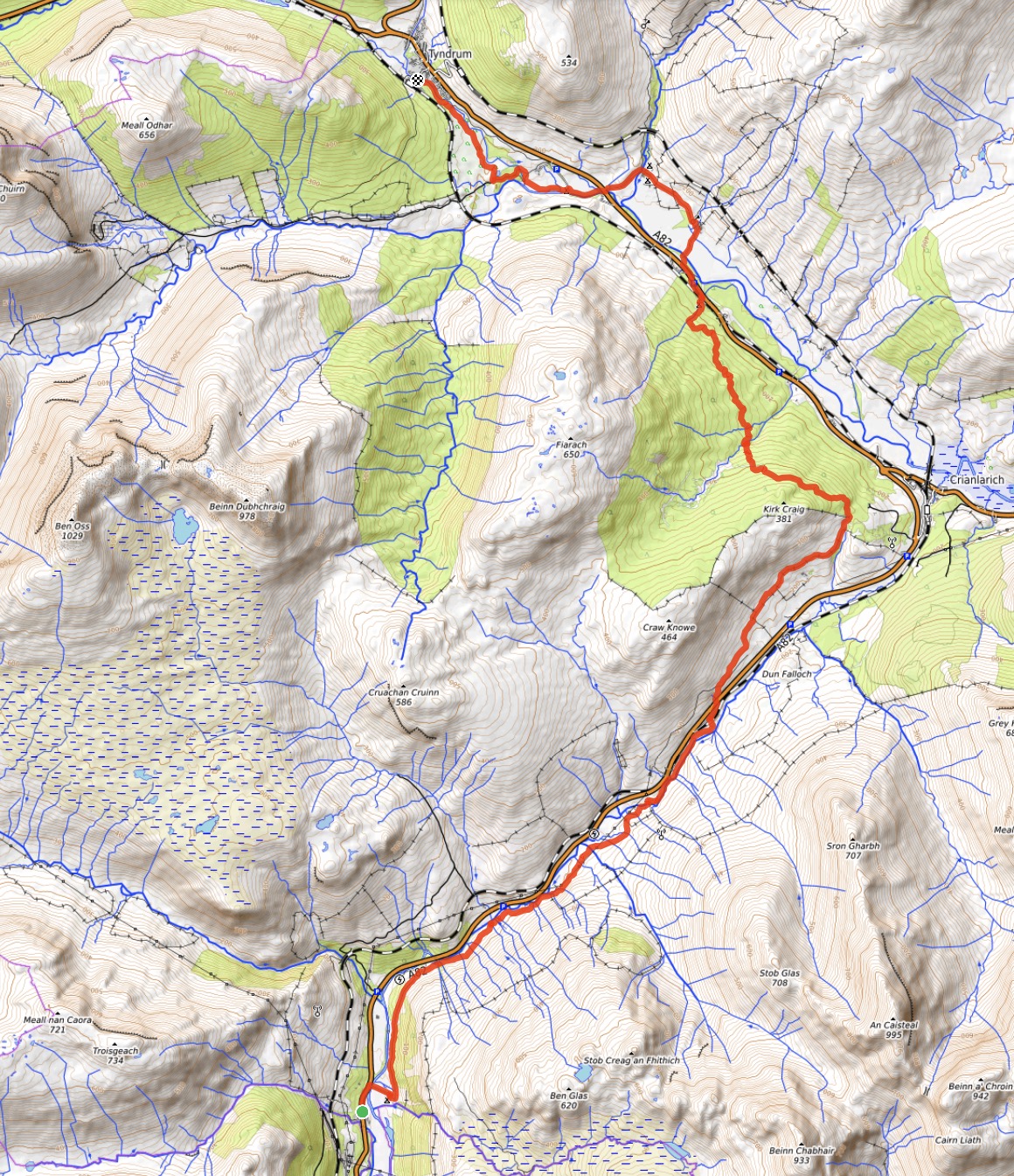
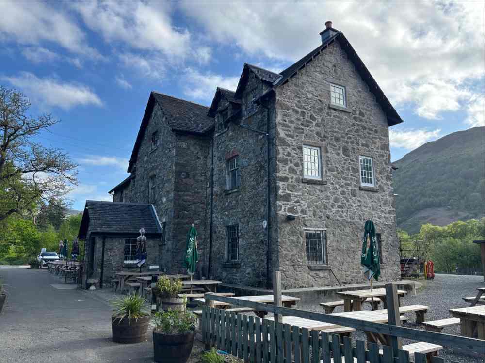
Ardlui was a lovely place to spend the night, but it had the down-side of being across the Loch from the WHW and the earliest ferry didn’t run until 9AM. Being habitually impatient to get going in the morning, I decided to modify my route a bit, taking the first bus from Ardlui to Inverarnan and rejoining the WHW from there. That 4 minute bus ride got me back on track and happily walking instead of waiting for a ferry. Doing this meant that I skipped a 3.5km section of the WHW, so it could be argued that I haven’t actually “done” the West Highland Way. That’s not something I’m too hung up on. The bussed dropped me off at the Drover’s Inn in Inverarnan. I followed a path north to a bridge over the River Falloch. I proceeded east through the Beinglas campground and rejoined the WHW.
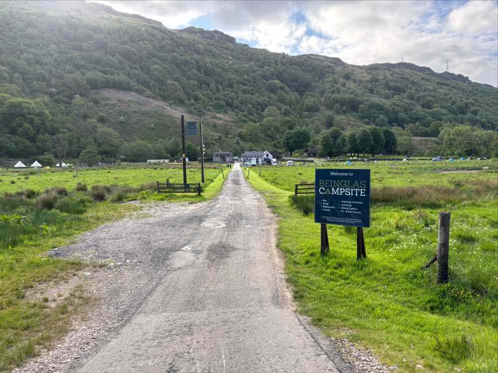
As the name of the Drover’s Inn would suggest, this section of the WHW corresponds to old cattle drovers routes. There was easy walking on a broad track heading northeast in Glen Falloch alongside the River Falloch. It was also not far from the A82 and after a time the Way passed underneath the highway (and railway) to get on the northern side and eventually climb away from the valley bottom to hook around Kirk Craig above the village of Crainlarich.
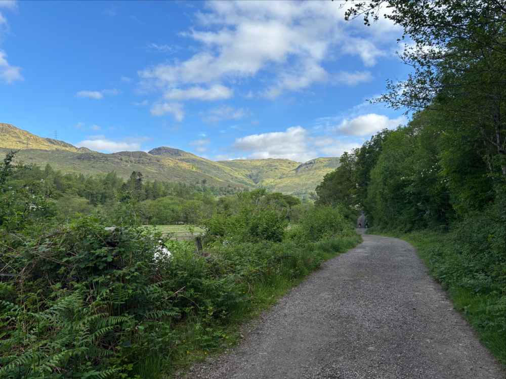
The wide and smooth trail heading out from Inverarnan. 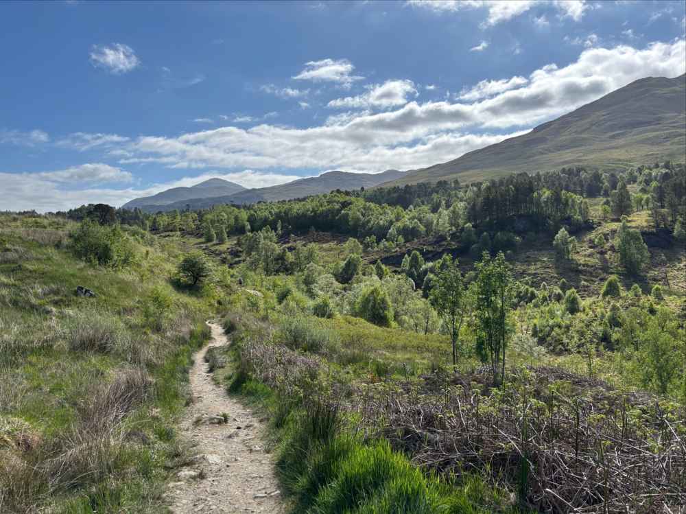
The trail changes to a narrow path after a while and the scenery continues to improve. 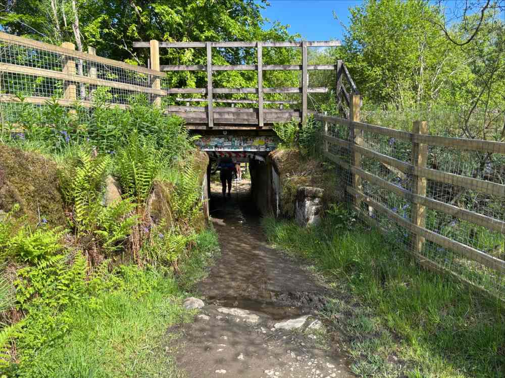
A tight squeeze ducking under the highway. 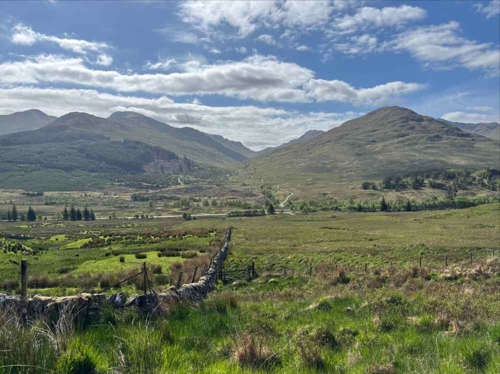
The view across the valley from the lower slopes of Kirk Craig. 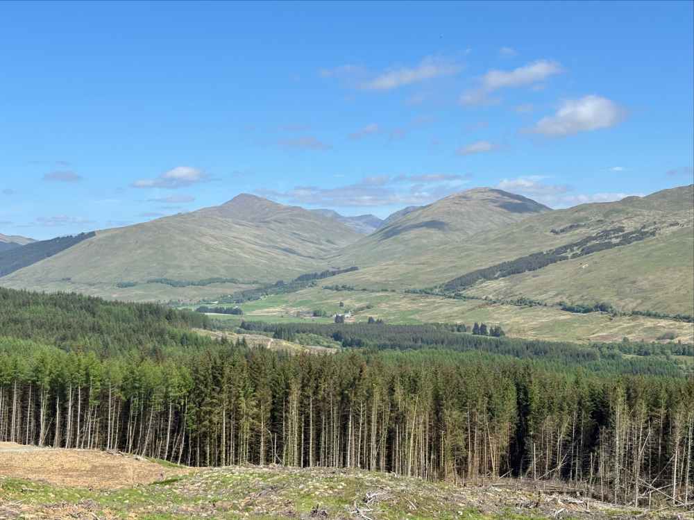
The view from the high point on the trail on Kirk Craig’s east slopes before it dives into forested and de-forested land for a while.
Now headed northwest, the WHW eventually descended from the flank of Kirk Craig, going back alongside then under the highway. Before reaching Tyndrum, the WHW takes in a bit of history. First it passes by the Priory of St. Fillan, a 12th century monastery with an adjacent cemetery whose oldest grave markers date to the 8th century.
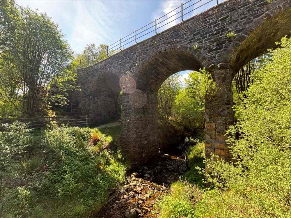
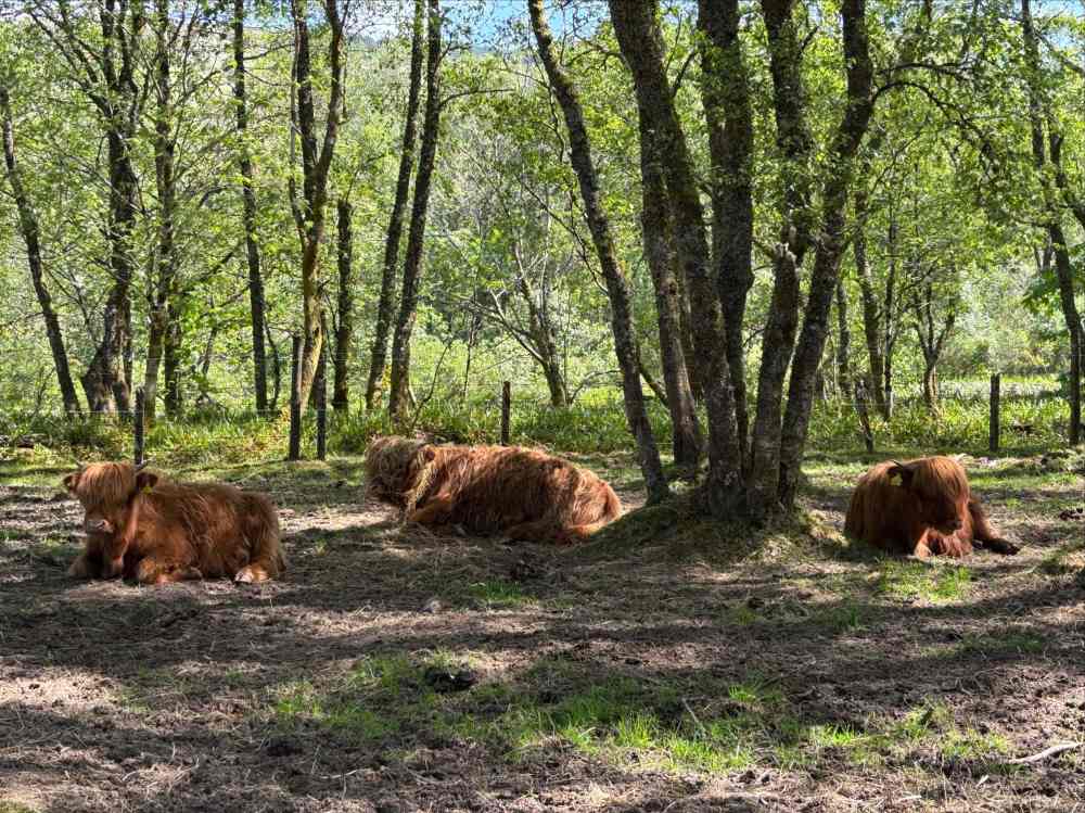
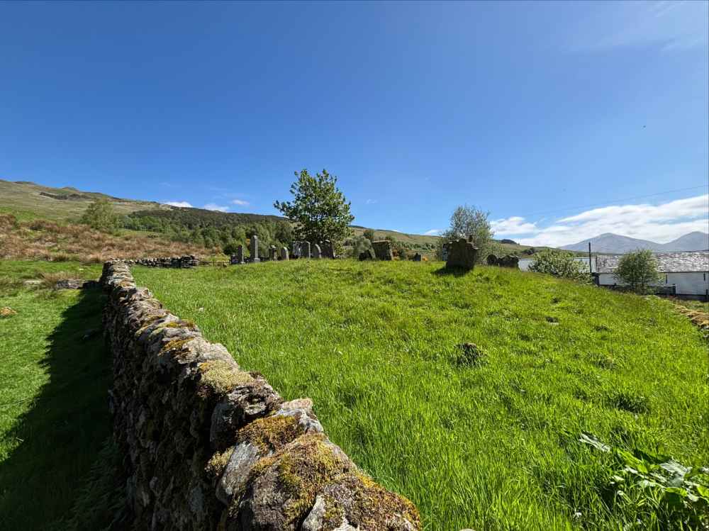
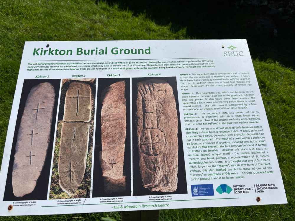
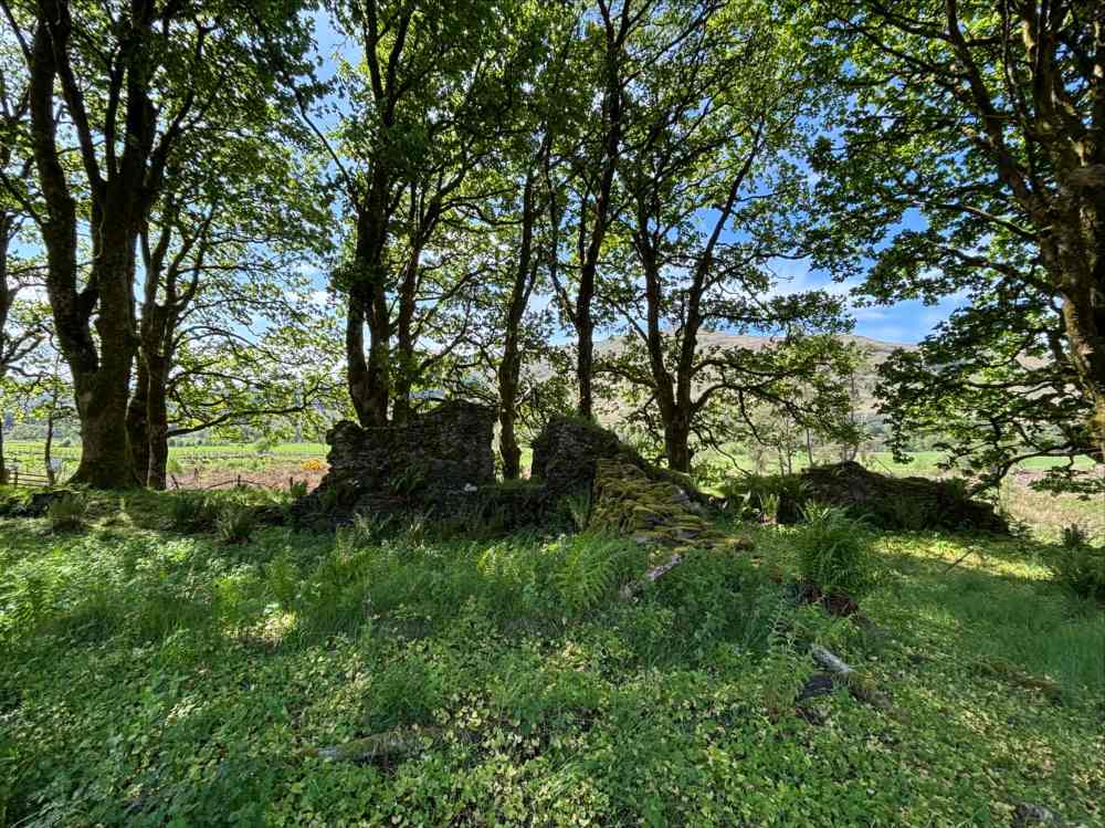
A short distance further it crosses the highway again and passes Dalrigh, the site of a 1306 battle where the army of Robert the Bruce was nearly destroyed by the Clan MacDougall led by John of Argyll. Legend has it that the survivors threw their weapons into a nearby lake – now called the Lochan of the Sword. It’s doubtful that this actually happened, or if it did it likely didn’t involve the small body of water currently called the Lochan of the Sword.
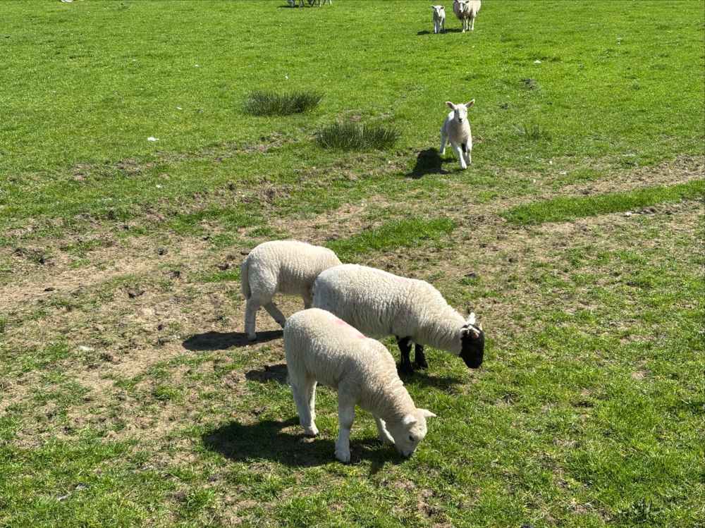
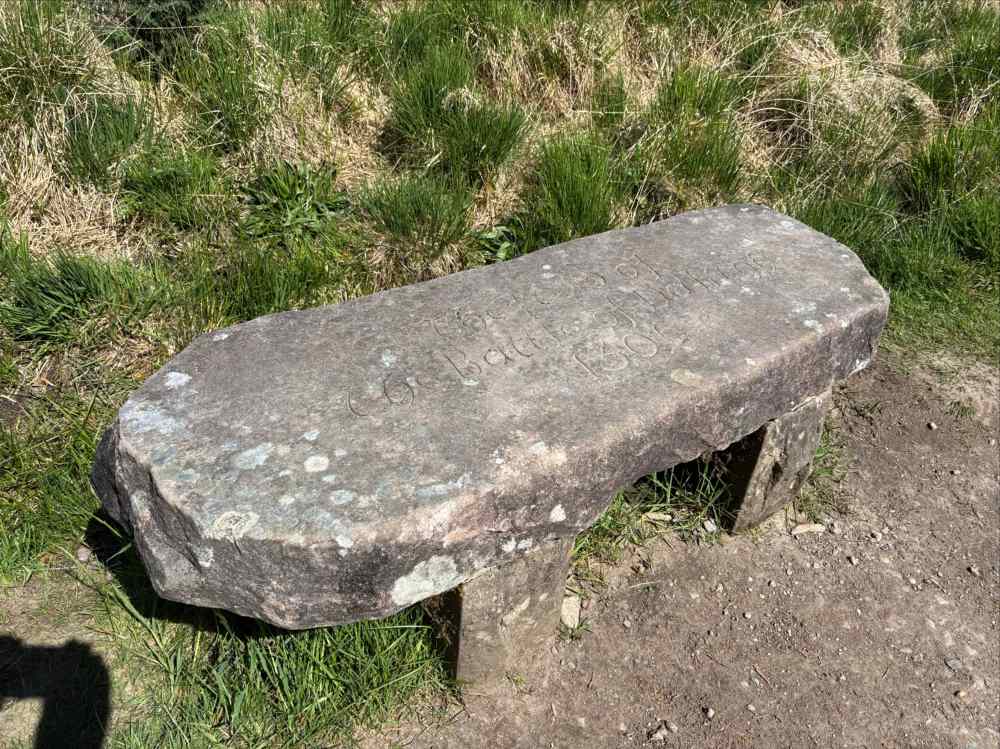
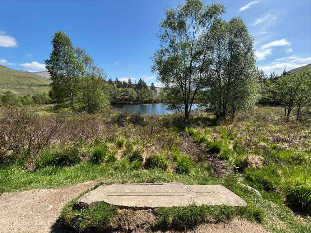
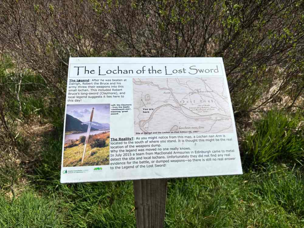
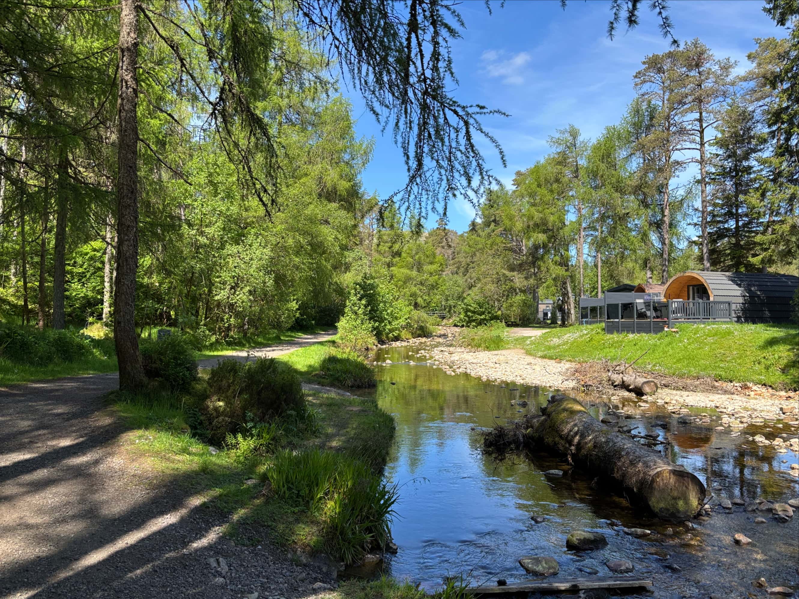
A short distance beyond the area of Robert’s difficulties I reached the village of Tyndrum. The walk that day had passed very quickly so I had plenty of time to kill. I explored the village a little, had a few cold beers at the Tyndrum Inn, then sat in the grass alongside a little stream until it was time to find my accommodations for the night.
Day 5 – Tyndrum to Kingshouse
- Distance: 31.5 km
- Ascent: 637 m
- Time: 7h 16m
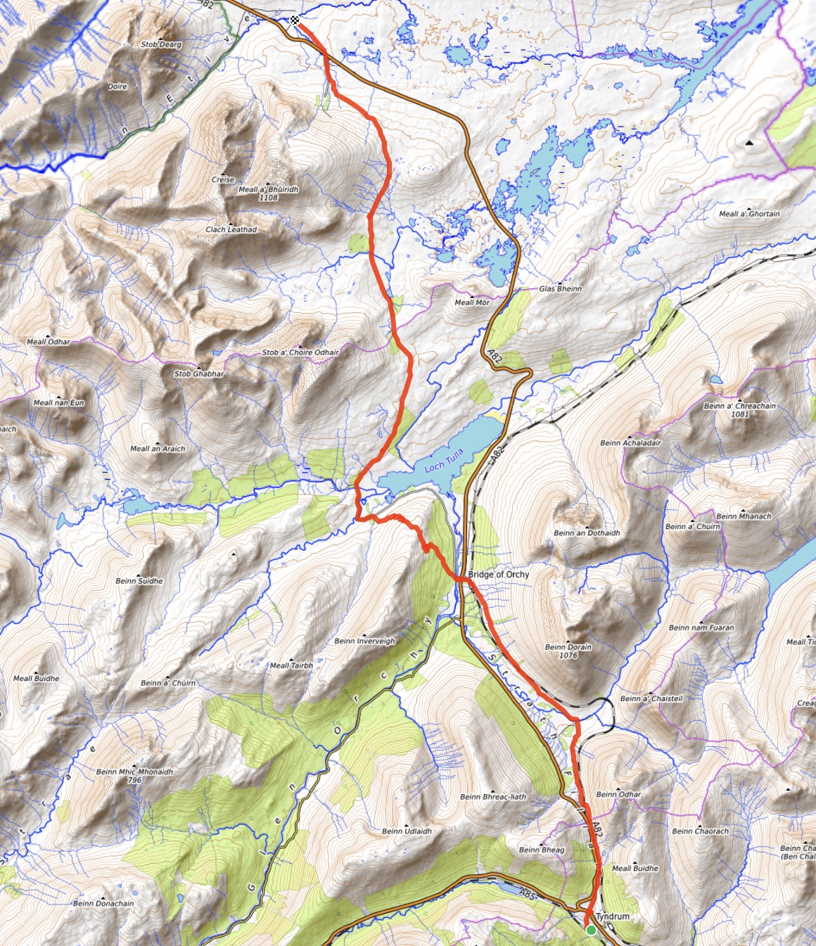
The 5th leg of my journey was the longest, though thanks to the ideal weather we were experiencing (this would be the last day of it), it was not difficult. Leaving Tyndrum, I followed the WHW north accompanied once again by the A82. As I skirted the western slopes of Beinn Odhar the more impressive shape of Beinn Dorain came into view directly ahead. Beinn Dorain is one of the more famous Munros and it was on my short list of peaks to possibly climb on this trip. Unfortunately, given its location in the midst of my longest day of hiking, I couldn’t bring myself to add another 10-12 km and 1200 m ascent to the day. I reached the village of Bridge of Orchy very quickly. I decided to take more of a “stop and smell the roses” approach to this day so I stopped at the hotel adjacent to the Bridge and ordered a cappuccino to drink while I ate one of my Clif bars.
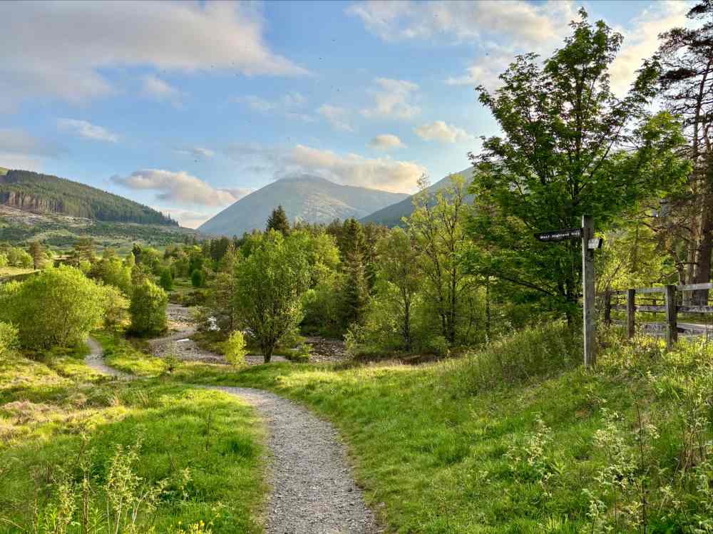
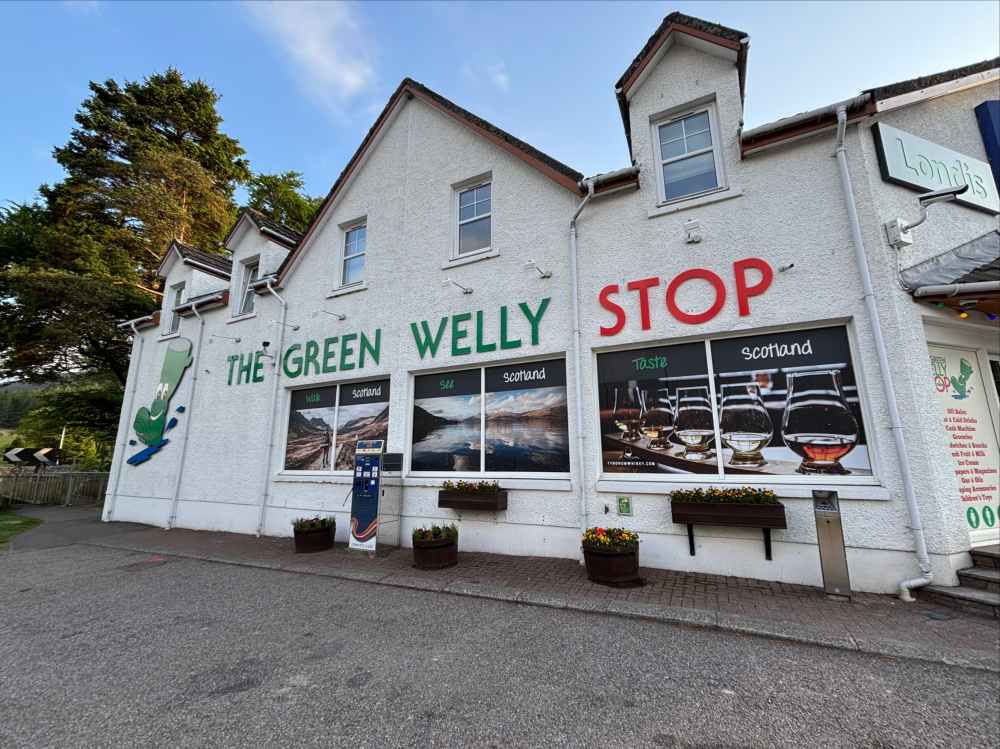
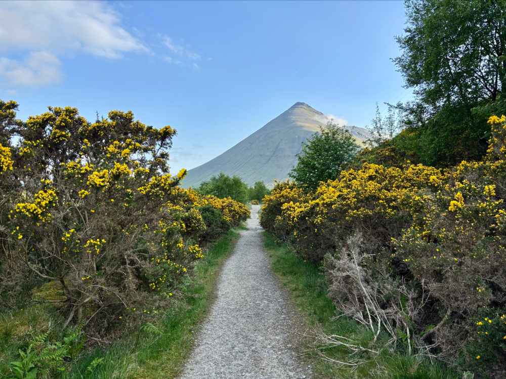
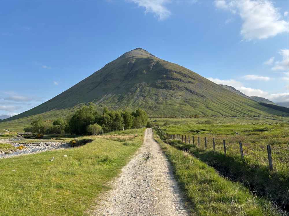
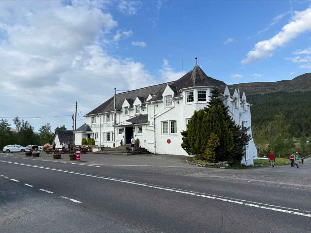
Leaving Bridge of Orchy behind, I followed the WHW as it climbed up and over Mam Carraigh, the northern ridge of Beinn Inverveigh. In doing so I also left the A82 behind and finally got into an area that felt more remote. The Way then descended into the tiny settlement of Inverornan (not to be confused with Inverarnan further south). Once again making a conscious effort to be more leisurely, I stopped at the little shop there to buy a sandwich.
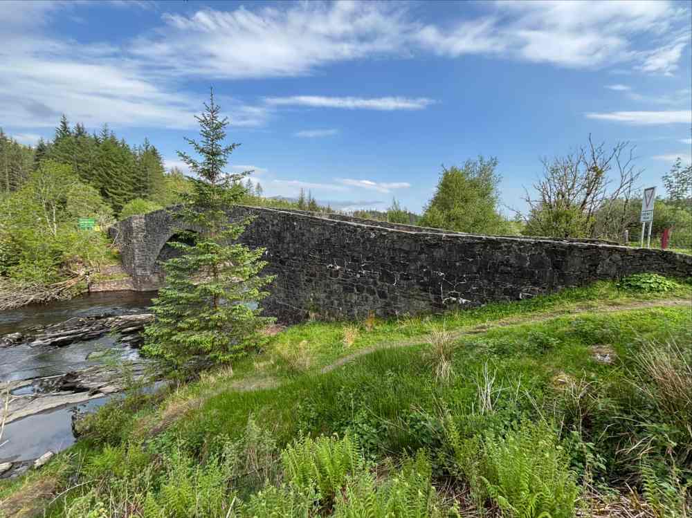
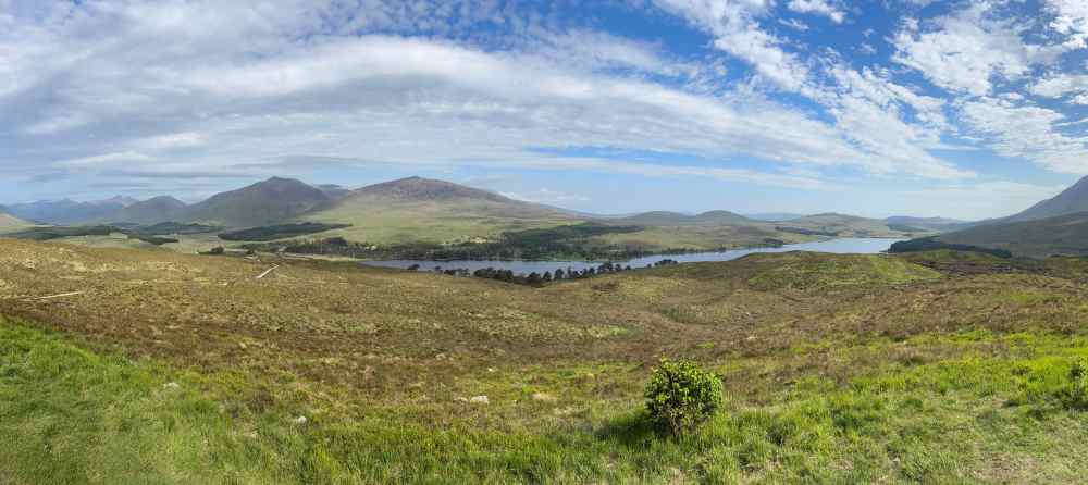
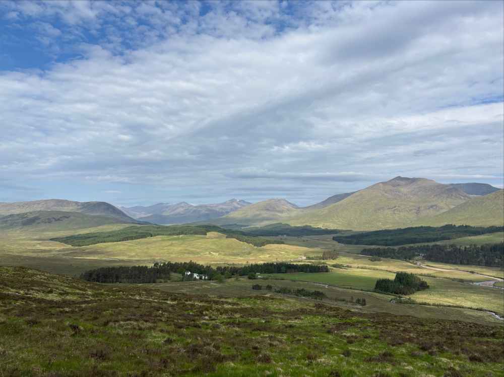
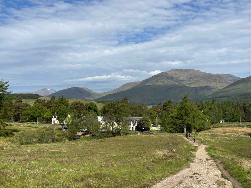
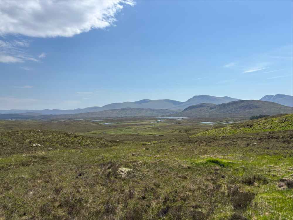
Beyond Inverarnan the Way passed by a former hunting lodge before proceeding to cut across the westerly portion of Rannoch Moor. The Moor is land that was under the UK’s last great ice fields at the end of the last ice age. It’s a Site of Special Scientific Interest due to the ecology and unique species found there. While checking out Wikipedia to learn more about the Moor I was amused to find that it has a special significance to one of the world’s more famous Scots: Scrooge McDuck. Apparently Dismal Downs, the seat of Clan McDuck, is located somewhere in Ranoch Moor. I therefore find it notable that I saw no ducks as I made my way across the fascinating but desolate landscape.
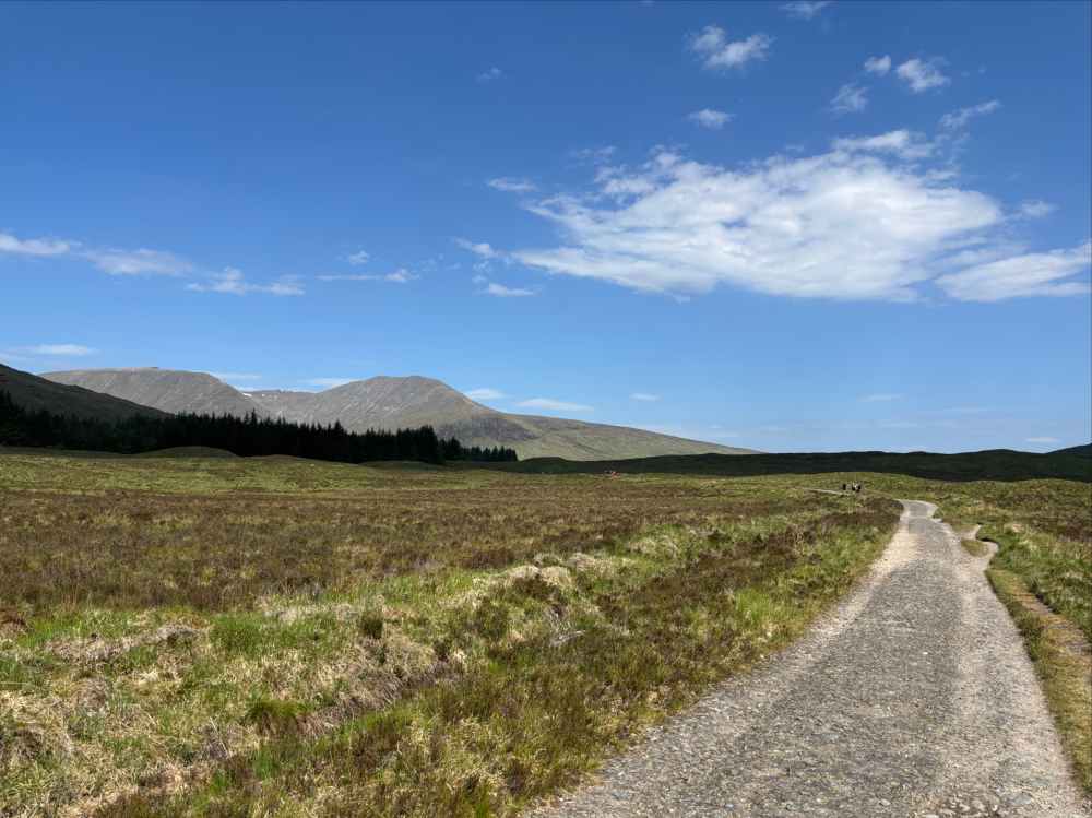
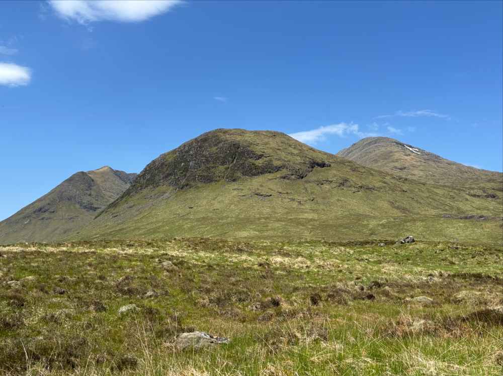
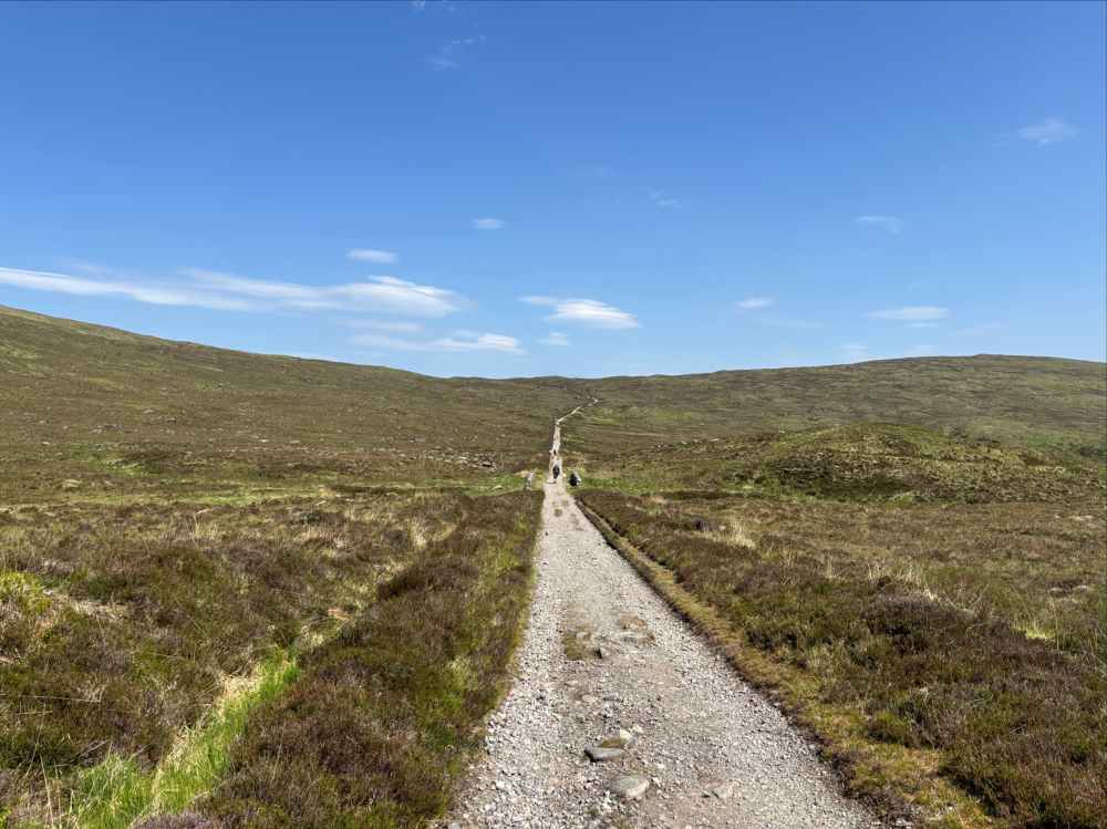
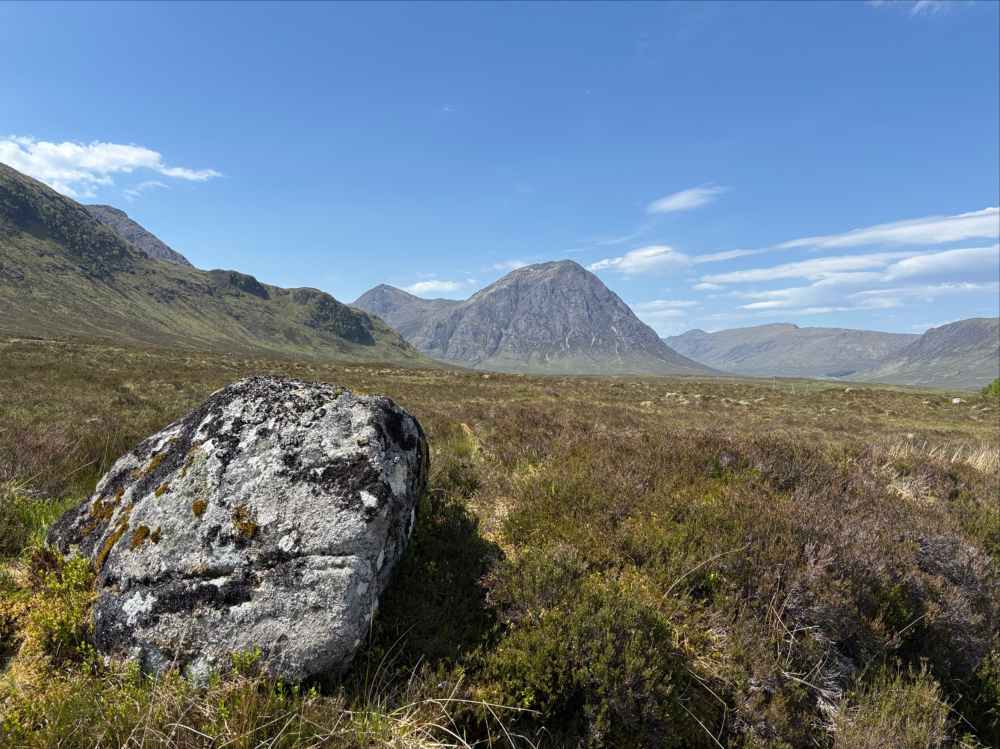
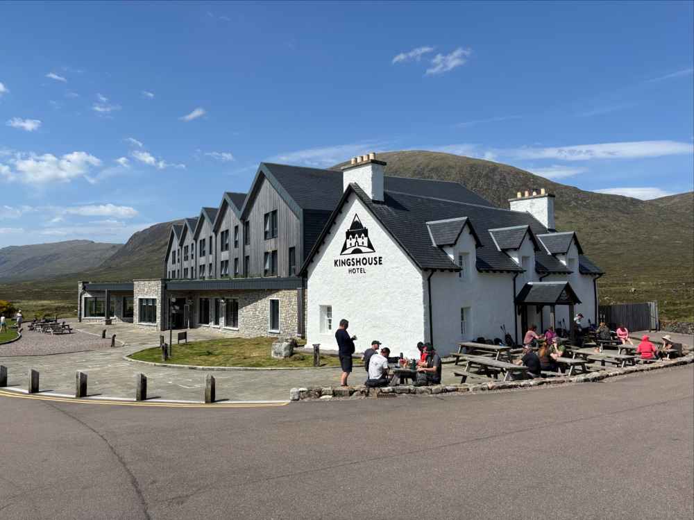
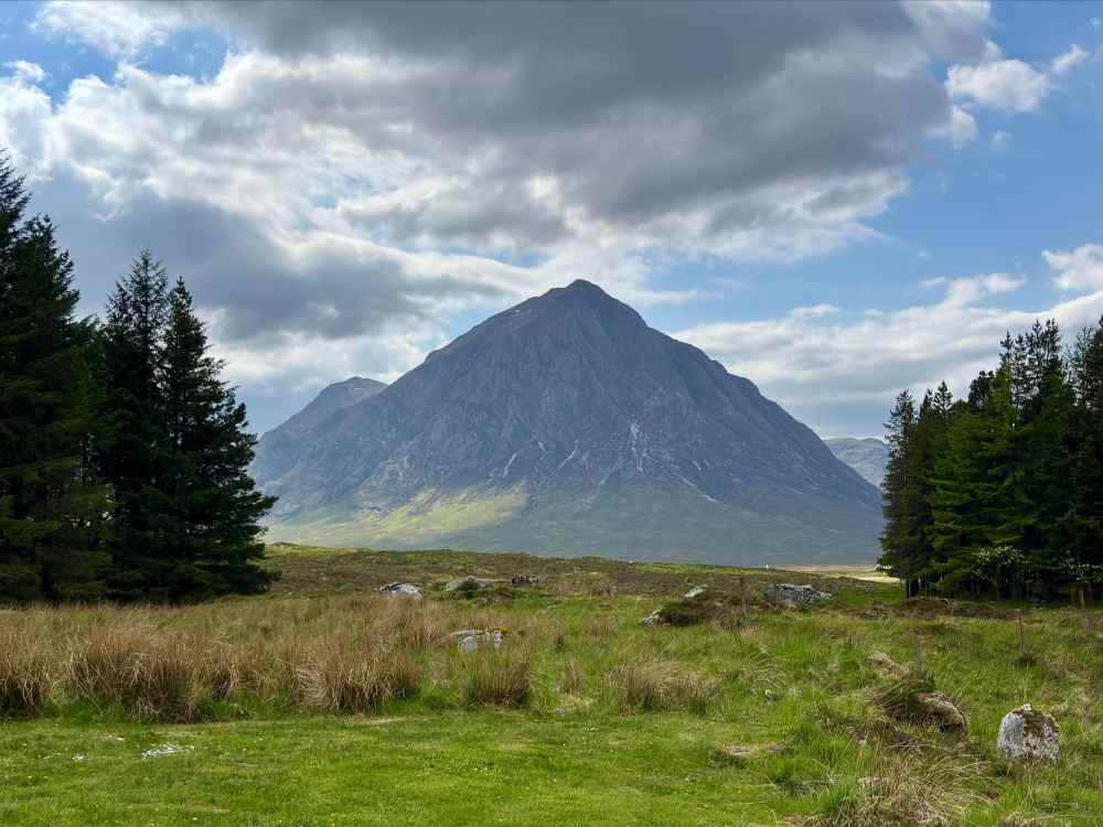
Eventually, I and the WHW reunited with the A82 in Glen Coe, in the shadow of Stob Dearg (apparently the most photographed mountain in Scotland). The King’s House came into view in the valley bottom adjacent to the highway. According to The West Highland Way by Terry Marsh, there has been an inn of some type in this location for at least 200 years though back then it perhaps a little “rustic” even by the standards of the day. In 2017 the former hotel was demolished and replaced by a high quality establishment, one that I was lucky enough to have a reservation in for the night. Kingshouse (all one word) seems to appear on maps to indicate the name of the location, while King’s House is the name of the hotel.
Day 6 – Kingshouse to Kinlochleven
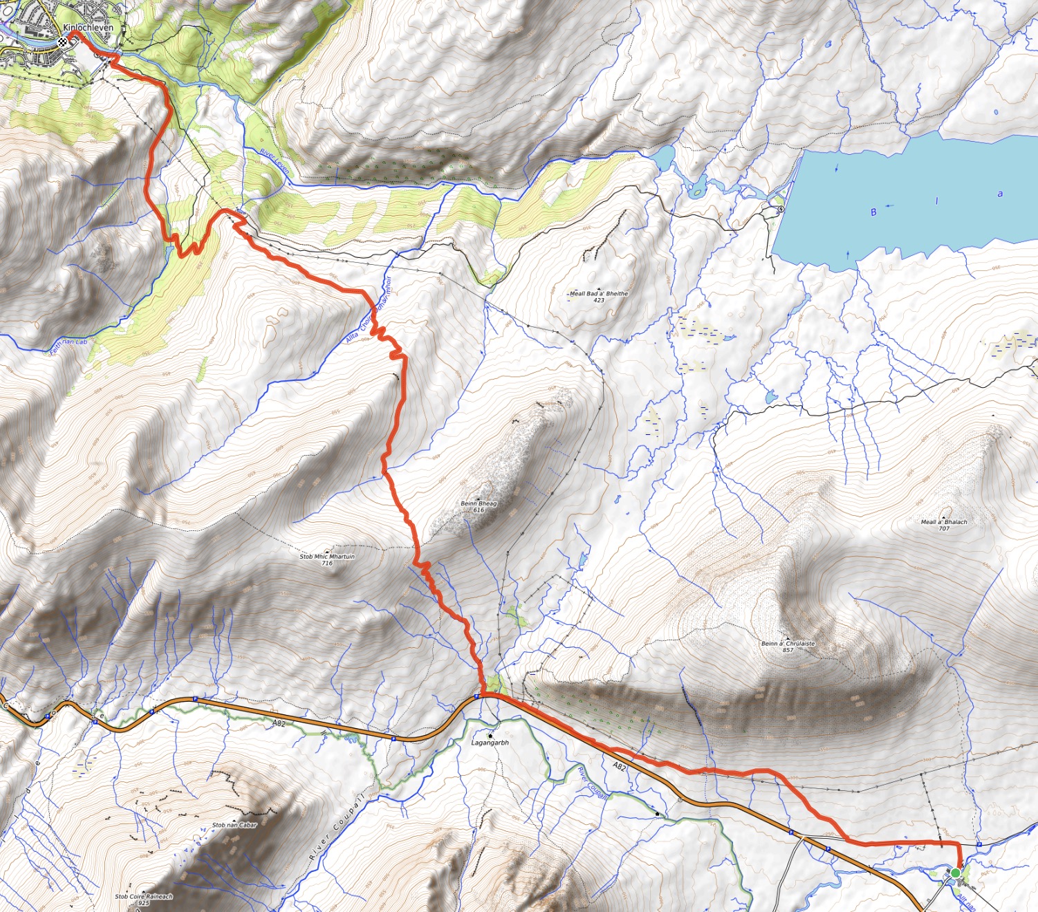
- Distance: 14.5 km
- Ascent: 408 m
- Time: 3h 5m
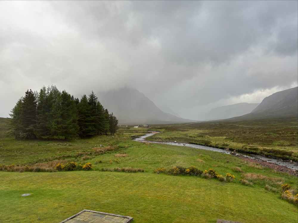
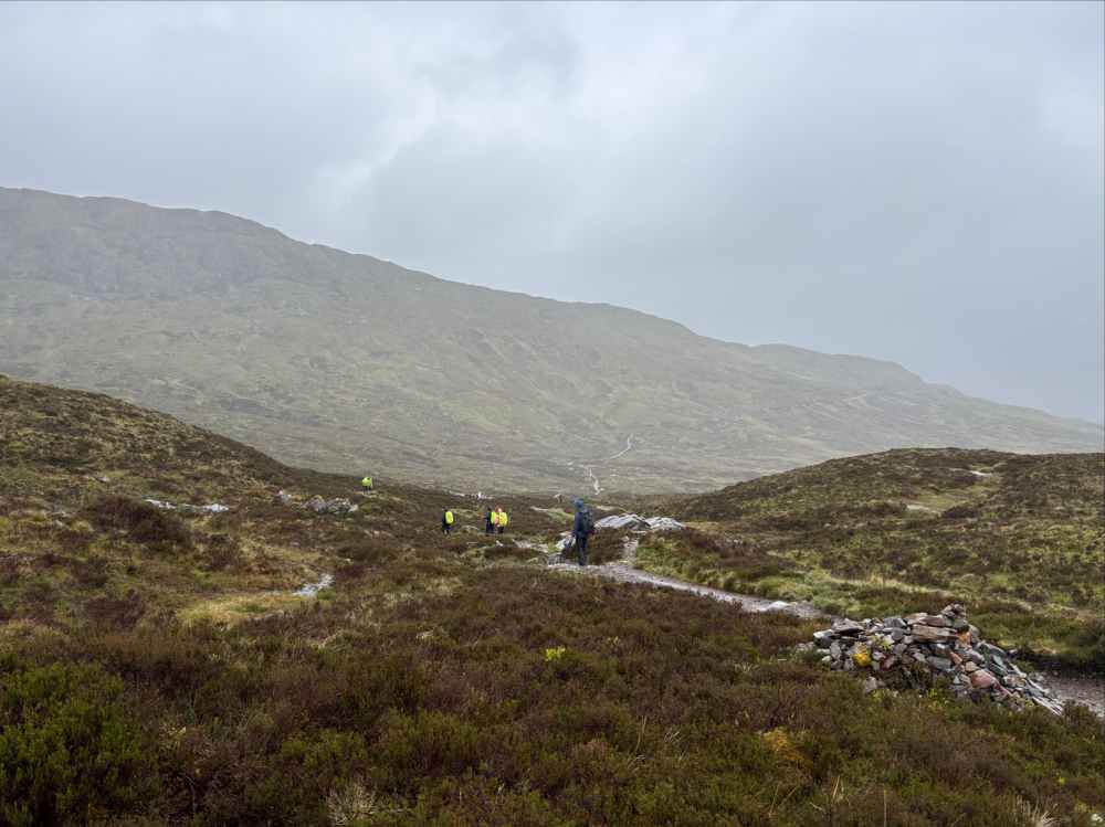
My run of good weather came to an end on Day 6 as I awoke to the sound of wind-blown rain. I glanced out my window at cloud-draped peaks and steady precipitation, and discarded my plans for climbing nearby Beinn a’ Chrulaiste. Steady rain seemed to be forecast all day, so I had a leisurely breakfast before setting out.
Leaving Kingshouse, I followed the WHW as it went northwest alongside the highway for a little under 5 km before turning north, uphill towards a pass between two low peaks. This stretch, and the route over the pass, was once part of a military road, and later a foot route used by labourers working on the nearby Blackwater dam. The ascent to the pass is named The Devil’s Staircase. This dramatic name for what is, in the context of mountain hiking, a pretty easy ascent has two potential origins. The first is simply that climbing to the pass over and over again with very heavy loads during the creation of the military road led to an understandable amount of grumbling about the infernal nature of the job. The second is that labourers coming over the pass to drink at the Kings House would sometimes be so drunk at the end of the night that they lost their way in the dark on their return trip and vanished. People said this was “the Devil claiming his own”.
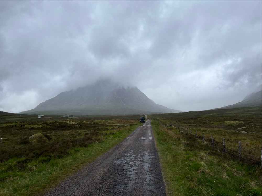
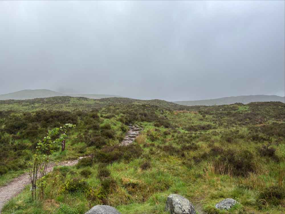
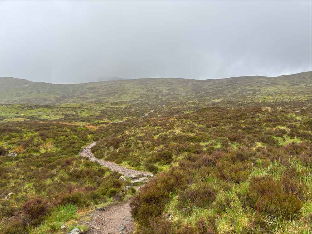
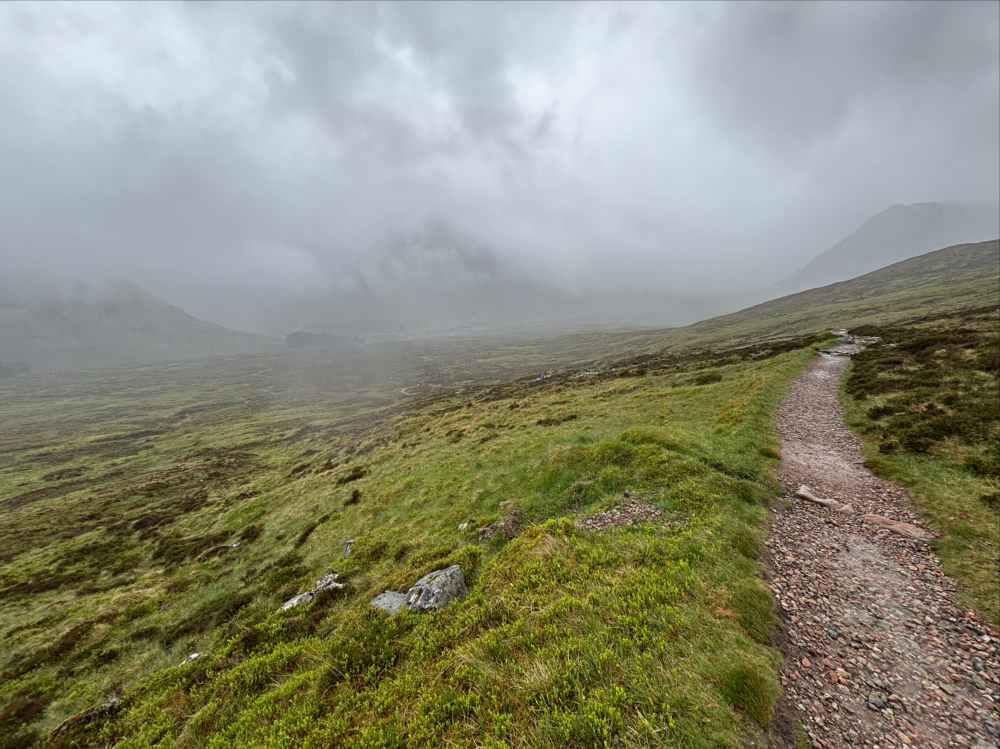
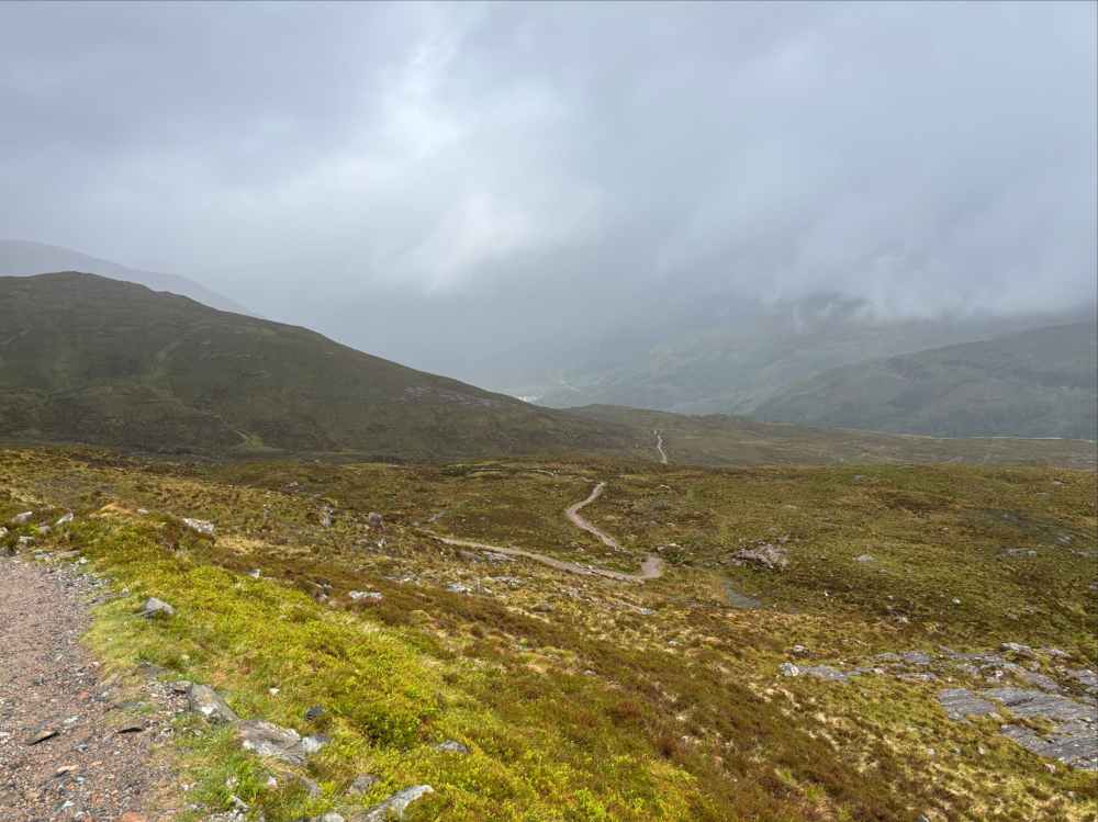
My ascent of the Staircase was made a little more exciting by the wind and the rain, but presented no particular difficulties. With no views to admire from the top, I carried on past a cairn and made good time descending. The descent was prolonged but fairly gradual. Not being able to see much I just moved quickly. Initially the Way descends part way down an adjacent valley then contours around and over a ridge to the north. Switchbacks descend from there and bring the trail into the southern slopes of the valley of the River Leven. Soon after passing under some power lines the route joins a gravel road that descends the rest of the way to Kinlochleven.
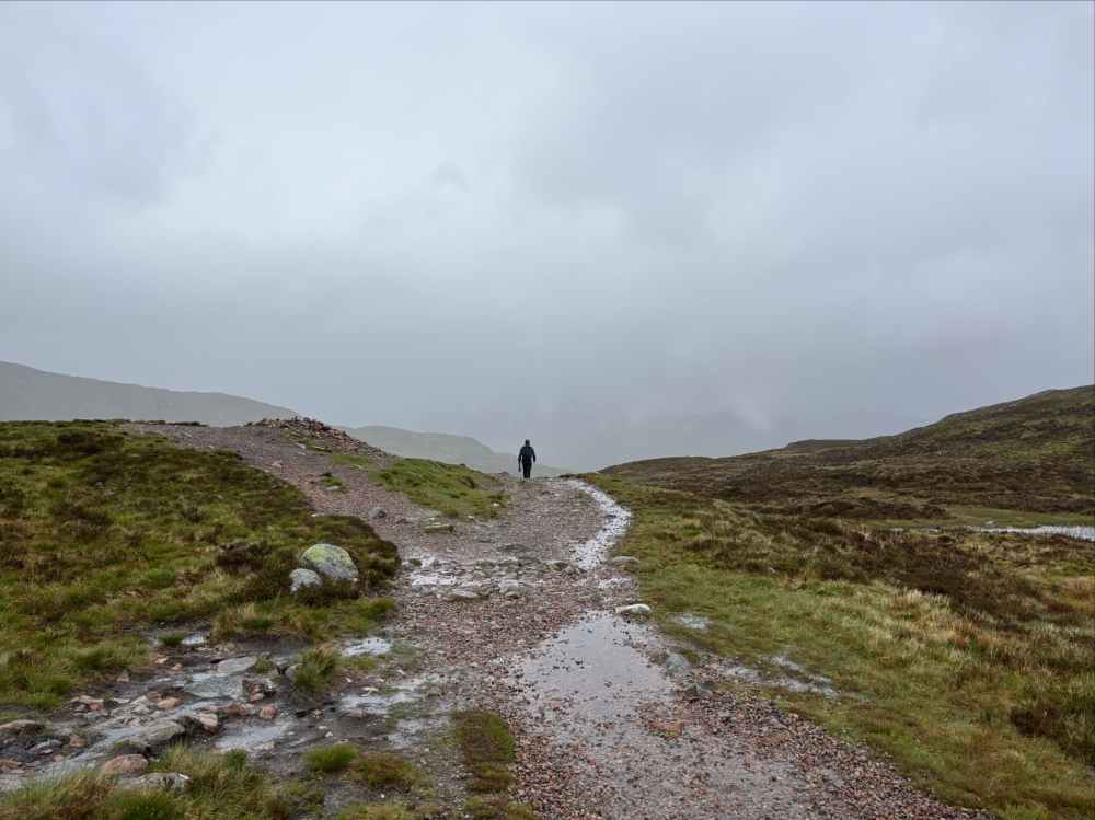
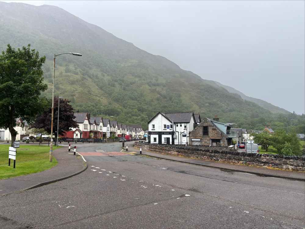
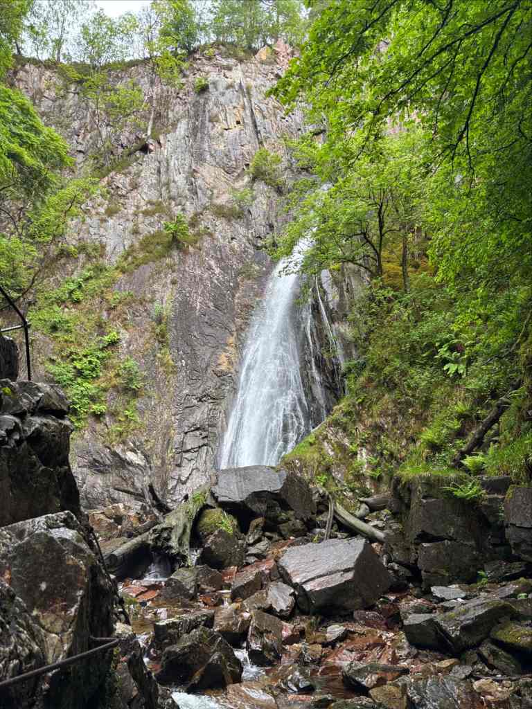
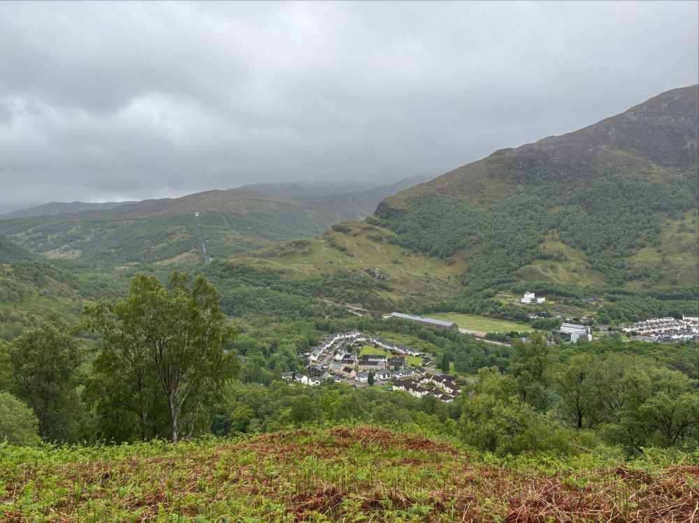
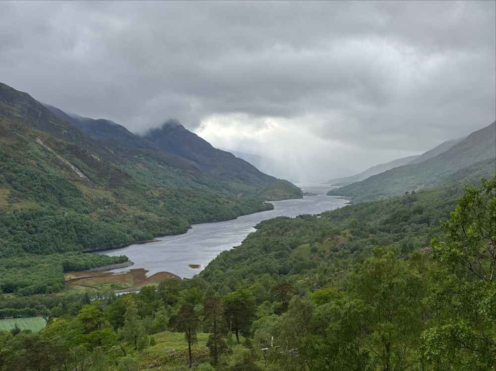
The day’s walking was over much faster than I’d expected but luckily the rain had abated a bit. I took the opportunity to explore nearby the town, checking out the Grey Mare’s Tail waterfall and climbing a hill behind it to a nice viewpoint of Loch Leven, west of the town.
Day 7 – Kinlochleven to Fort William
- Distance: 27.5 km
- Ascent: 708 m
- Time: 5h 38m
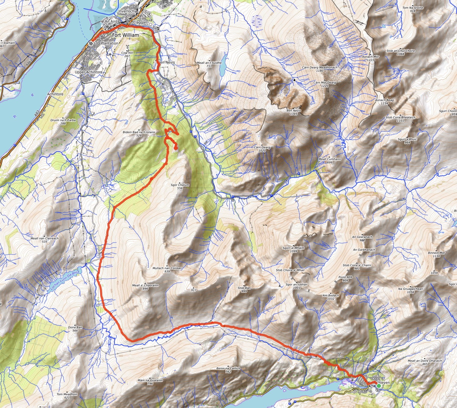
My final day on the WHW had intermittent cloud and rain forecast which once again kept me on the main trail. As it happened it didn’t rain much until the evening, which made for a very pleasant day on the trails. I departed Kinlochleven, ascending west through wooded slopes away from the town to enter a long east-west valley called Lairig Mor. The valley is interesting because it has a bit of a high-point or pass at its middle, resulting in drainage both to the east and west. North of the main valley is a group of mountains called the Mamores, and to the south are Mam na Gualainn and Beinn na Caillich. The overall arrangement, plus the climb up from Kinlochleven to enter the valley, make Lairig Mor feel hidden and remote.
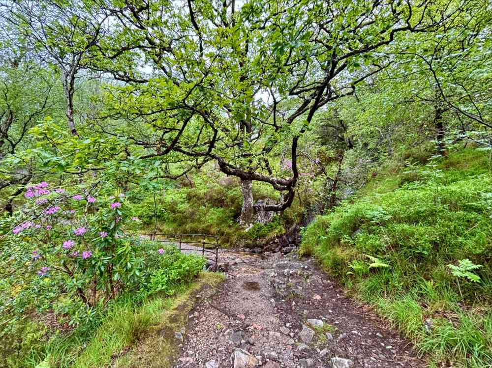
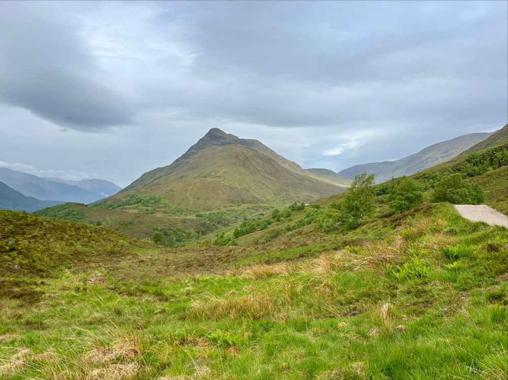
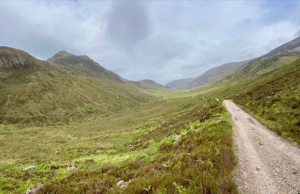
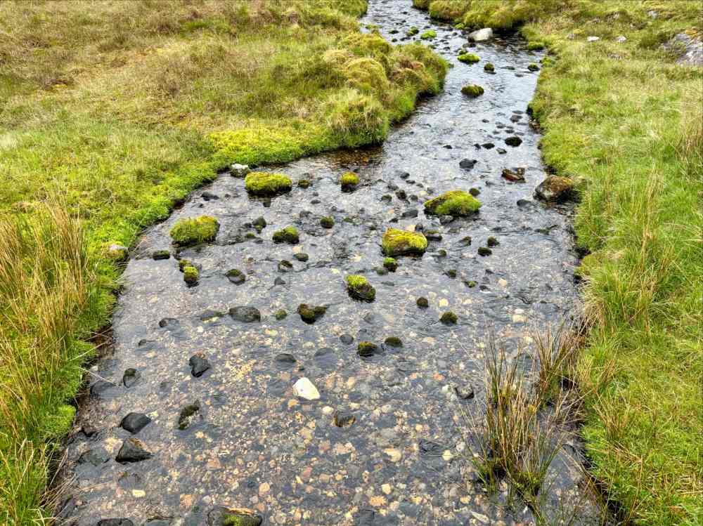
Adding to this feeling are some ruins a short distance west of the valley’s central high-point. I haven’t found any material that describes the history of these ruined buildings. They were certainly more than simple huts.
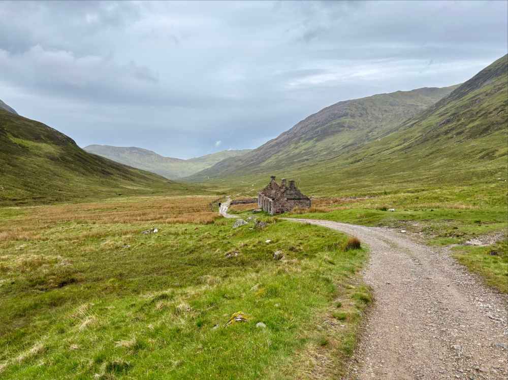
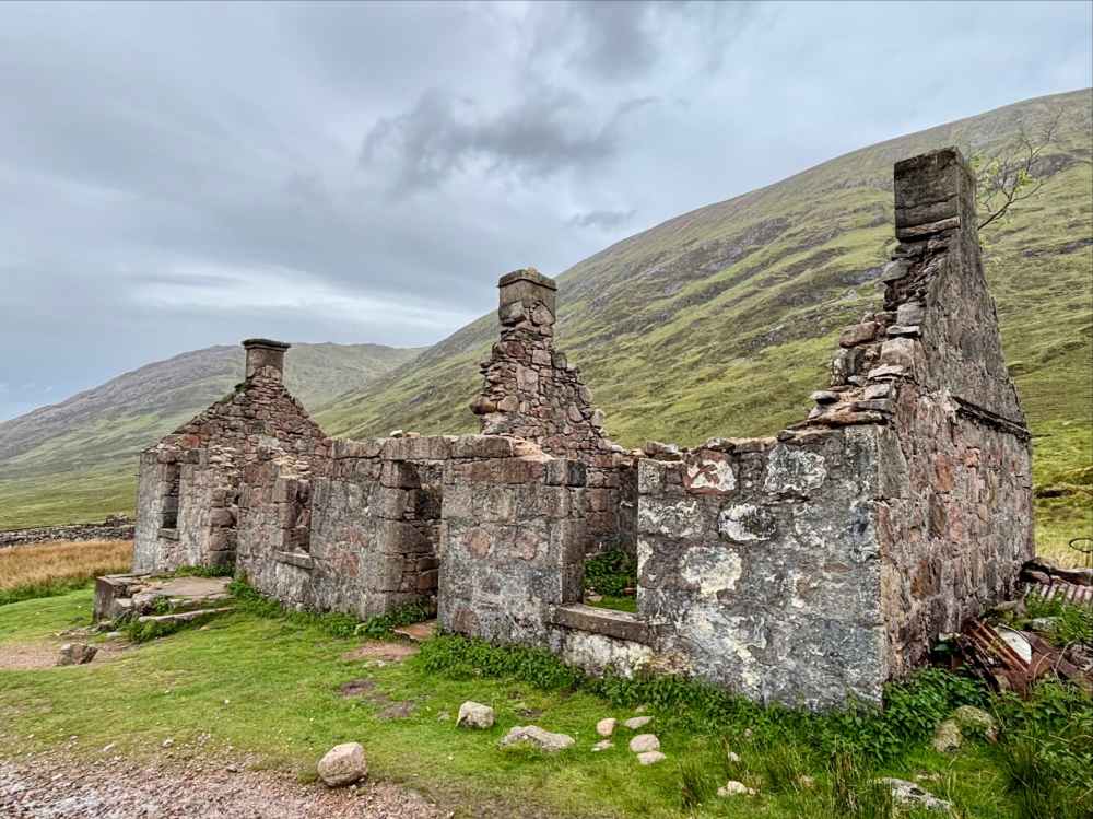
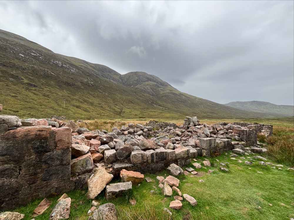
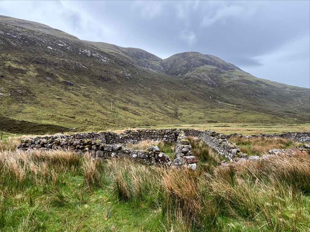
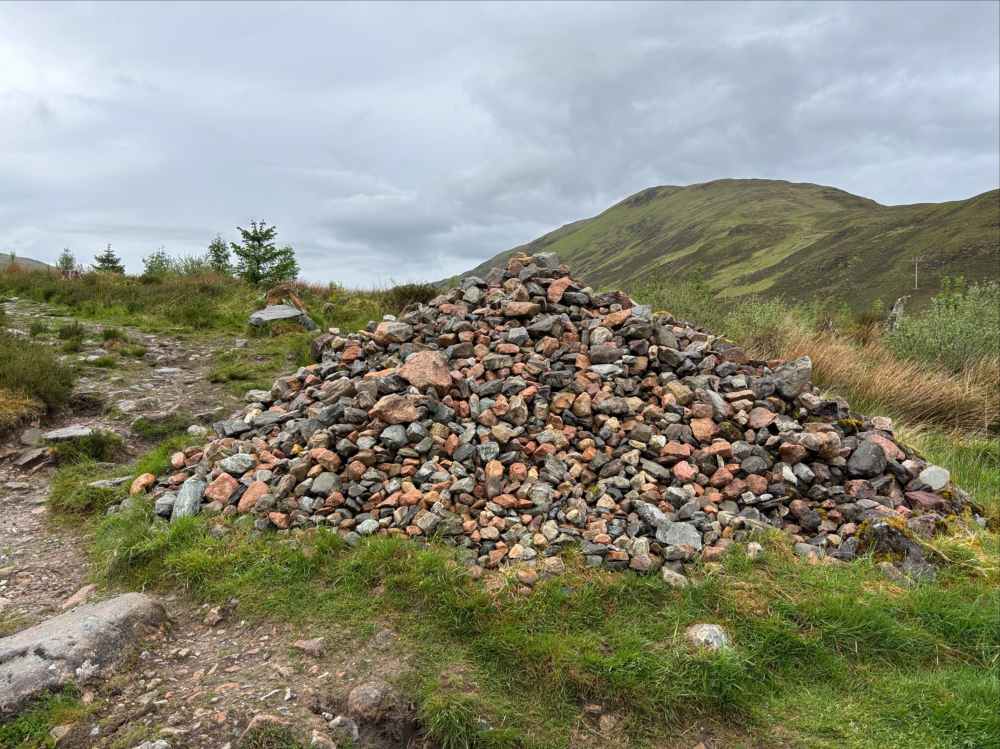
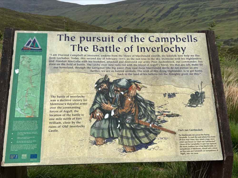
Exiting Lairig Mor on its west end, the WHW took me around the lower slopes of Meall a’ Chaorainn, proceeding north in a gentle descent to the valley bottom. Along the way it passed by a pile of stones marking the spot where the MacDonalds, pursuing the defeated Campbells after the Battle of Iverlochy, called off their chase. At it continued north, the WHW began to ascend gently once again. Behind, Lochan Lunn Da-Bhra came into view.
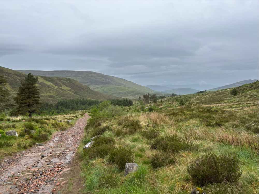
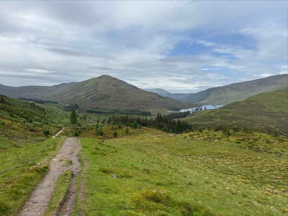
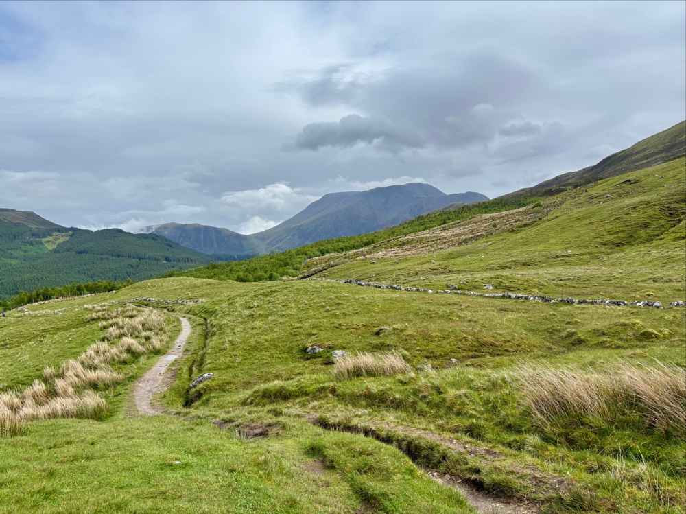
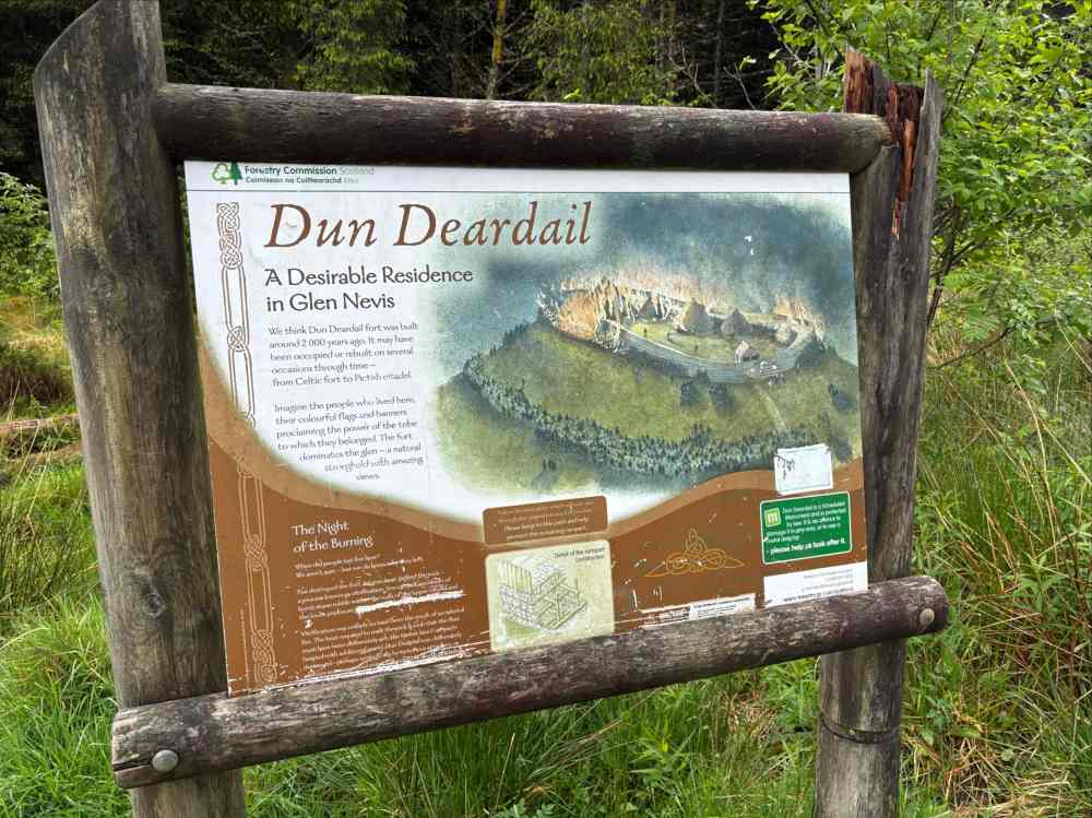
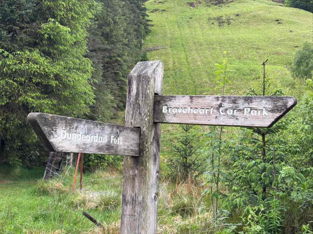
After a descent to a creek and regaining some altitude, Benn Nevis came into view in the distance. So, too, did a prominent treeless hill called Dun Deardail which was the site of a fort some 2000 years ago. A side-trail which branched off at an information sign led to top of the hill. It was a quick and fun side-trip.
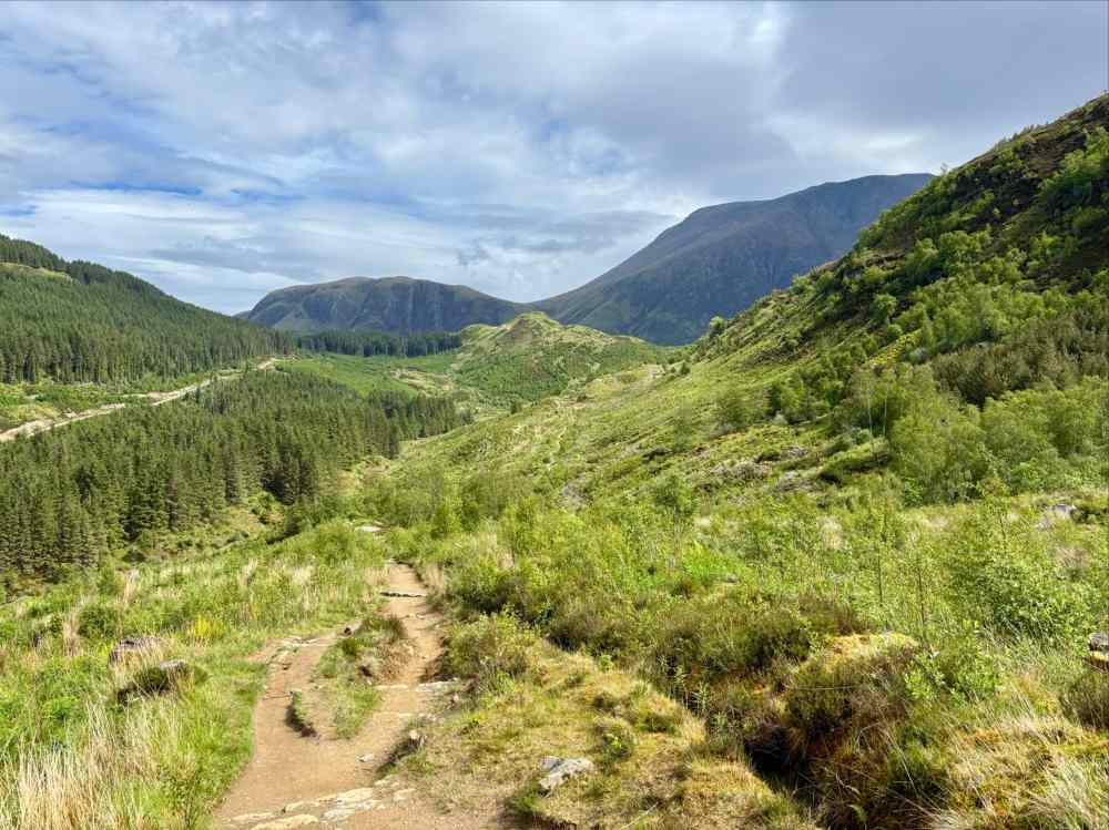
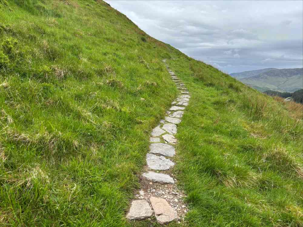
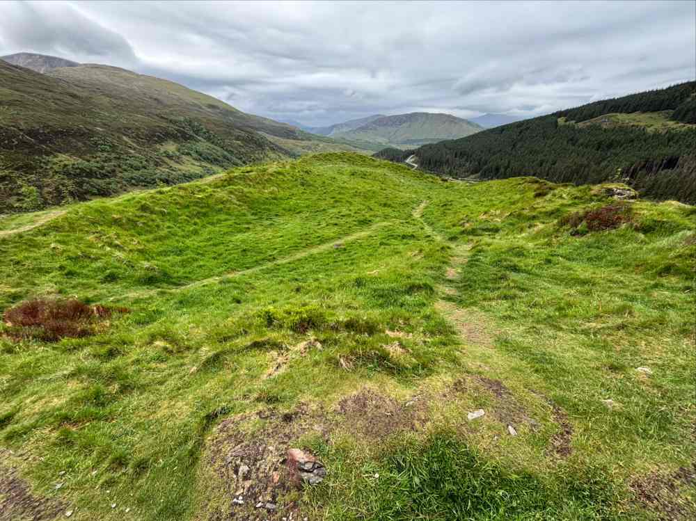
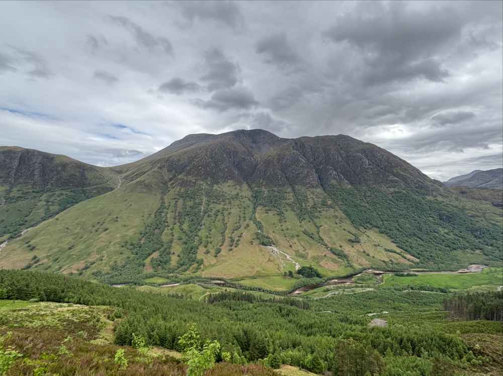
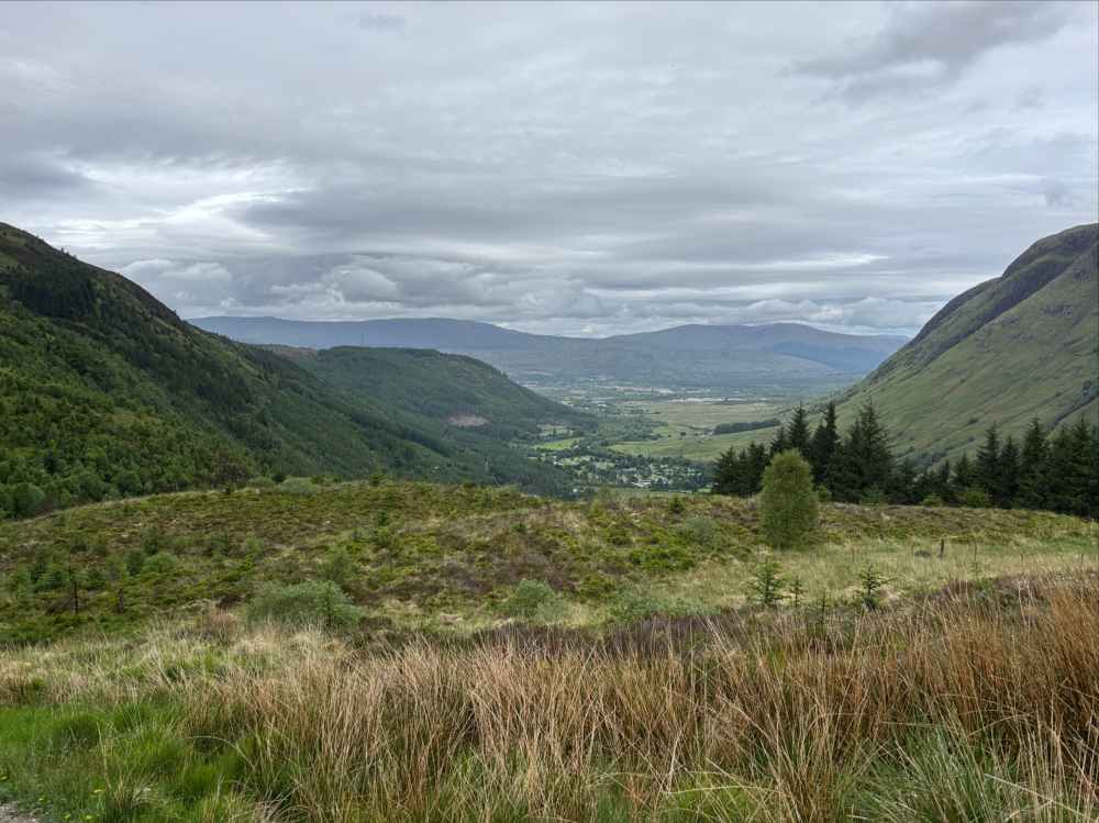
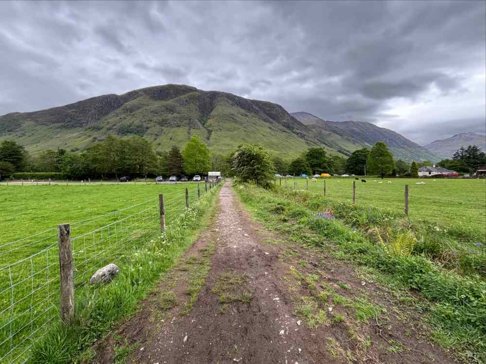
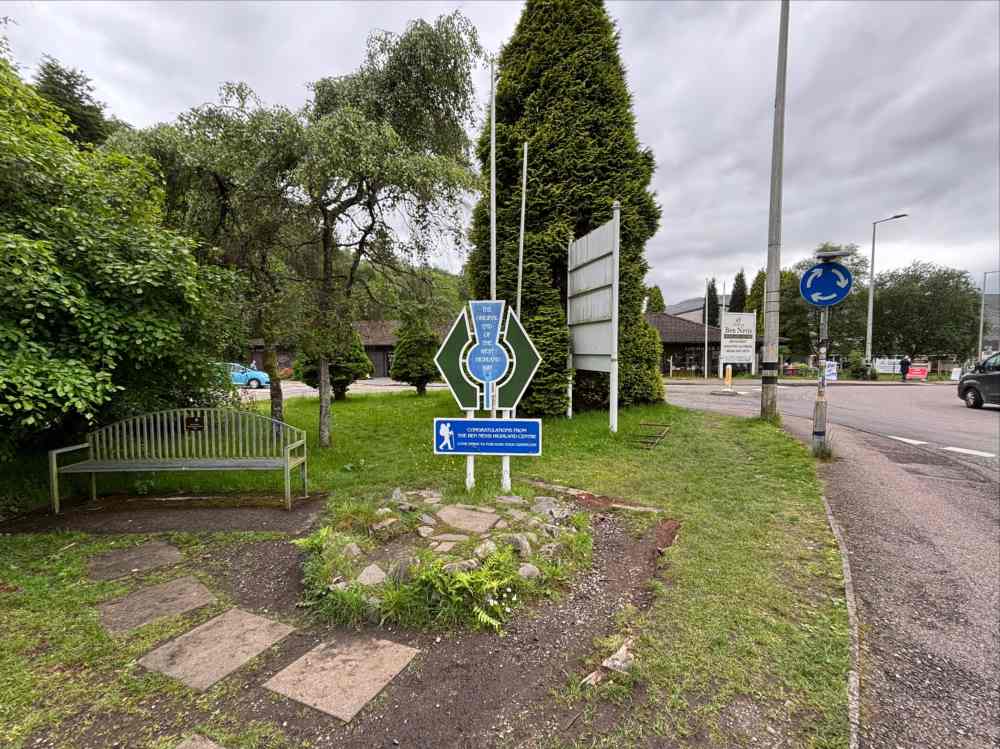
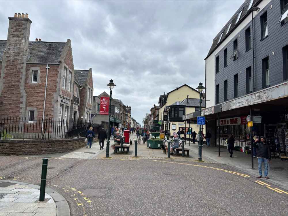
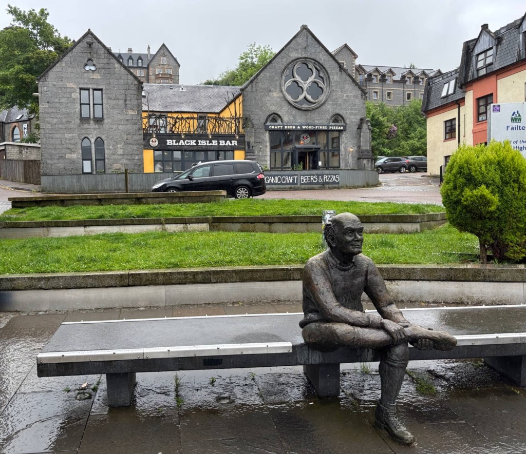
After Dun Deardail the WHW began its final descent, down into Glen Nevis to join the River Nevis making its way to Fort William. Shortly before reaching the town, the WHW forked into a high and low path. I took the low route, which is apparently the original one, because it allowed me to stop in at the Ben Nevis visitor centre. I was planning an ascent of Ben Nevis the following day and wanted to have a look at where the trail started. After the visitor centre, I did what felt like a fairly long roadside walk as the WHW entered Fort William. At the roundabout at the edge of town I passed the sign marking the original end of the WHW. In 2010 the official end was moved 1.6 km further into town. I carried on, following the waymarking until I reached the pedestrianized road leading past pubs and tourist shops to the end of the trail. I found the famous Man with Sore Feet statue and took a seat to finish my trek.
Concluding thoughts
As an introduction to what I think of as “European style” walking holidays, I think the West Highland Way was perfect. Walking from the Glasgow metropolis to the “Outdoor Capital of the UK” across hill, moor, and stream made me feel like I was actually getting to know the Scottish landscape. The style of hiking – from one inn to another, next to highways, always in cellphone coverage – has its obvious advantages, but it meant that there wasn’t a feeling of remoteness or disconnection. I missed that a bit, but it didn’t detract from my fun.
In terms of difficulty, if you regularly hike you will not find this a challenging trip. Depending on what you’re in the mood for, though, that may or may not be a bad thing. It needs to be said that the folks who rough-camp the whole way (especially in poor weather) undertake a legitimate challenge. Canada’s got more than enough camping for me, though, so I don’t think rough camping in Scotland is in my future. But I will certainly look for opportunities to do more treks like this one – it really seems like a great way to explore the world.


Well done Par. Loved reading about your journey!
LikeLike
Well done Par. Loved reading about your journey!
LikeLiked by 1 person