May 31, 2026. Hiking in the rain to the highest point in the United Kingdom.
- Region: Ben Nevis and Glen Coe National Scenic Area, Scotland, UK
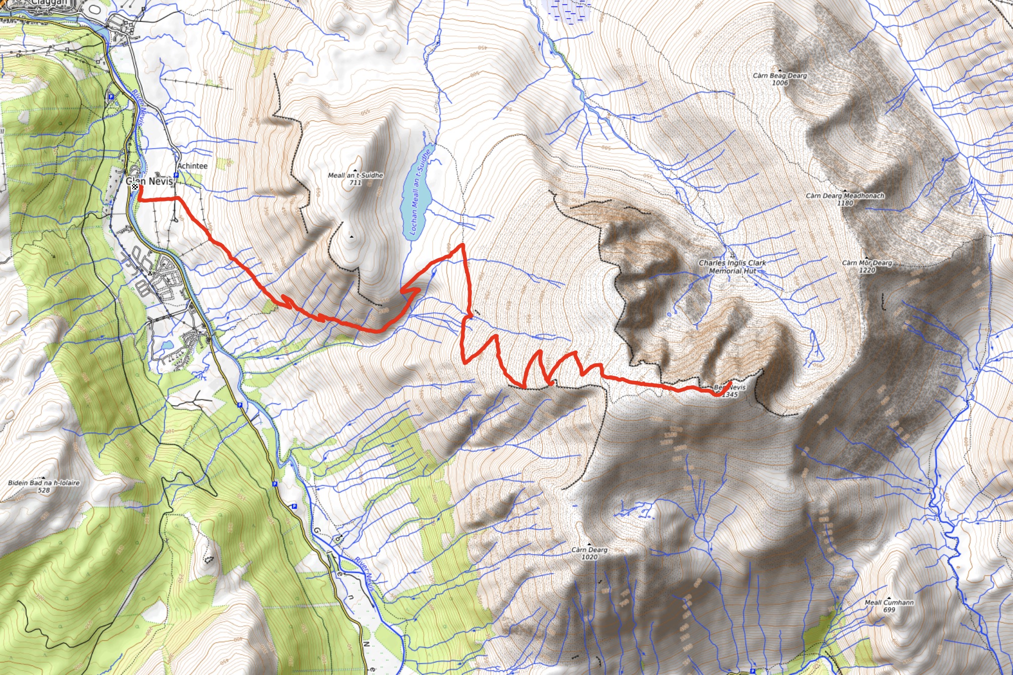
- Distance: 16.2 km round-trip
- Total ascent: 1347 m
- Elevation of objective: 1345 m
- Total time: 5h 10m
- Safety and Disclaimer
After hiking the West Highland Way I stayed an extra day in Fort William to climb Ben Nevis. Researching the mountain before-hand I knew that there was an easy “tourist route” to the summit as well as a more scenic scrambling route via the Carn Mor Dearg Arete (usually called the CMD Arete). The plan was to climb via the CMD Arete if there was fair weather or to climb the tourist route if there was poor weather. It turned out that I had poor weather.
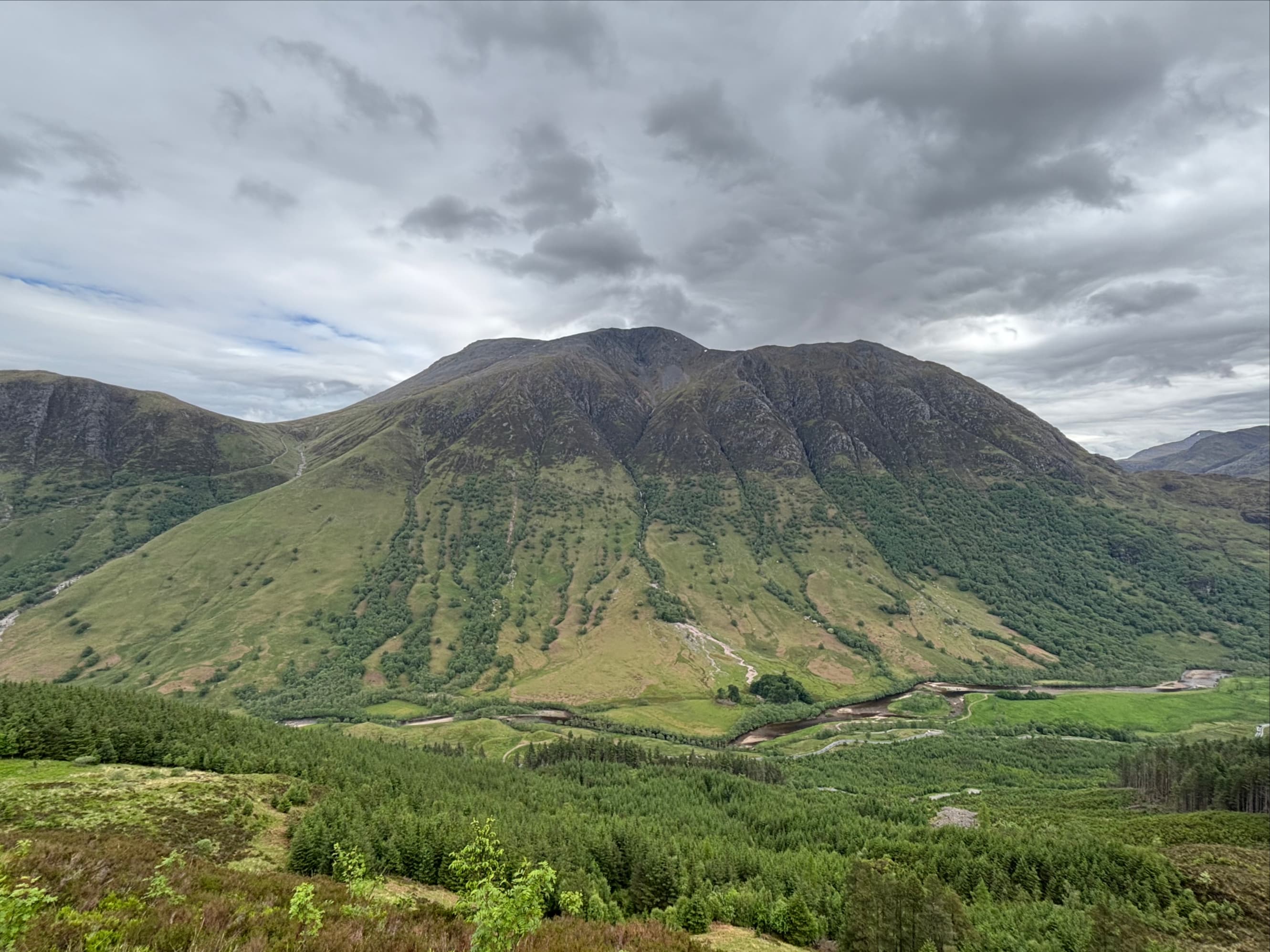
Looking outside that morning there was scattered cloud and some blue sky but Ben Nevis’s peak was clouded in. Looking up the valley there were threatening clouds in the distance and the forecast for the day predicted 100% chance of rain. If the weather had to be poor, I thought, at least it was obviously poor. I didn’t have to make a judgement call. I walked with my day pack about 2.5 km to the visitor centre found the start of the tourist route.
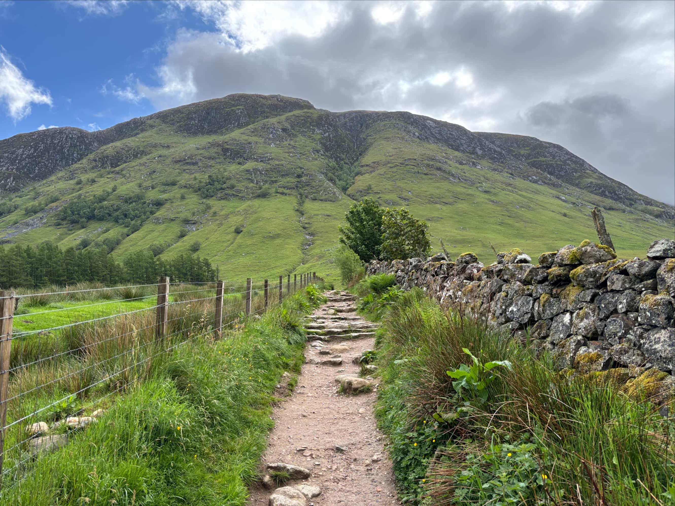
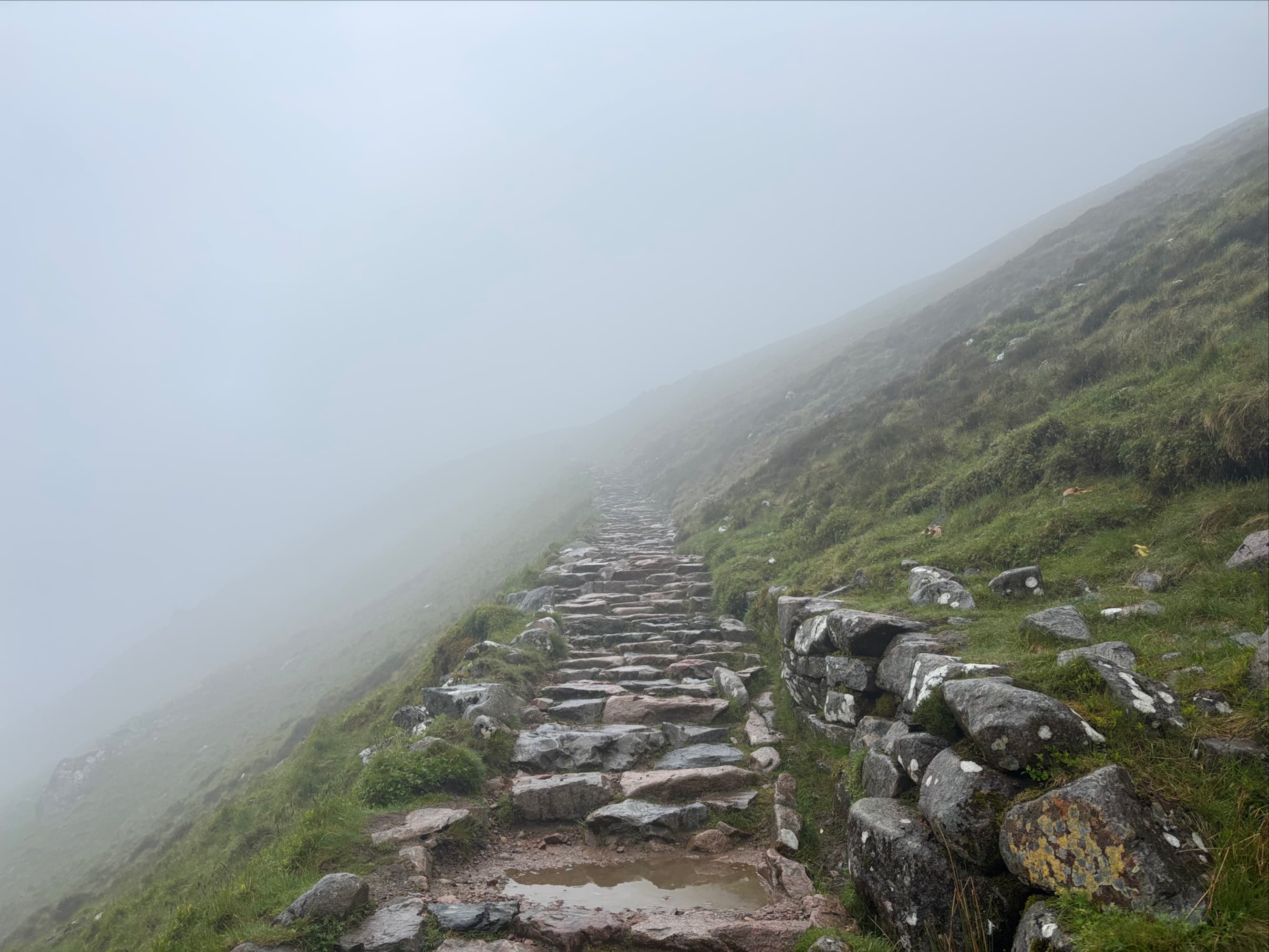
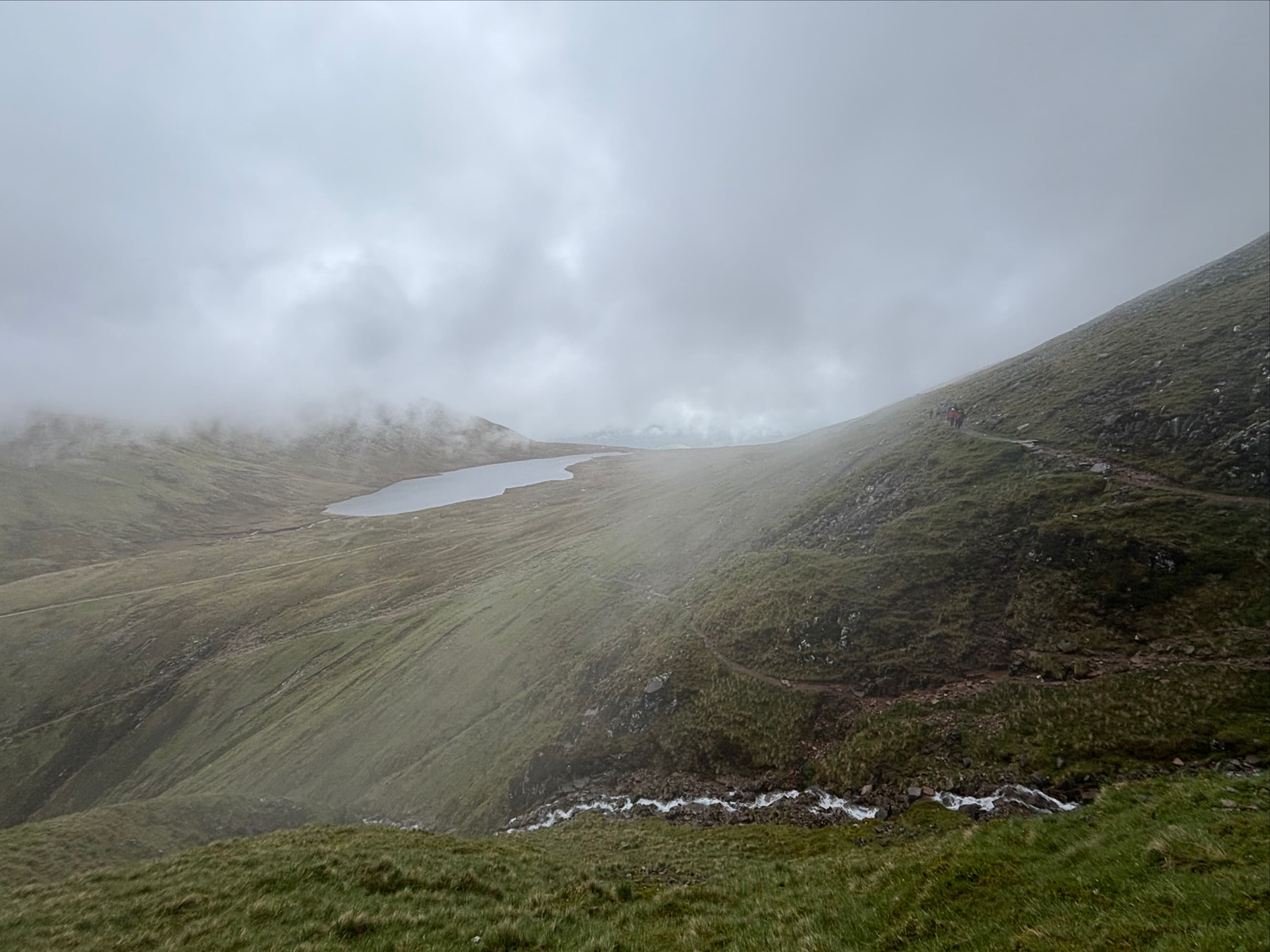
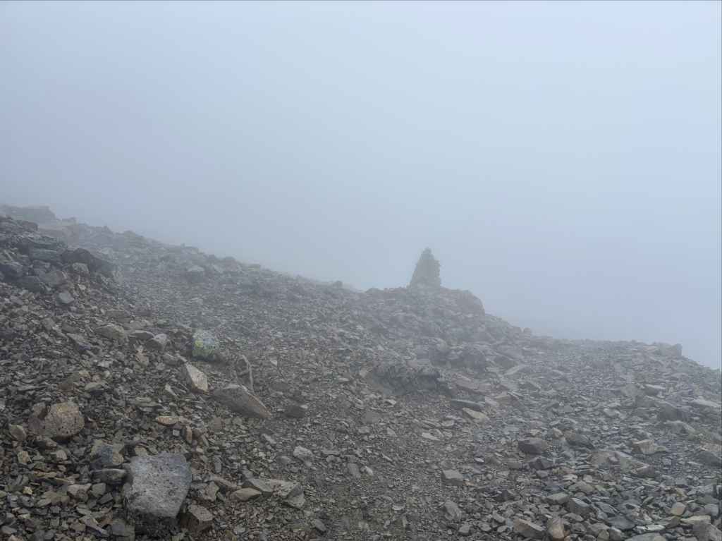
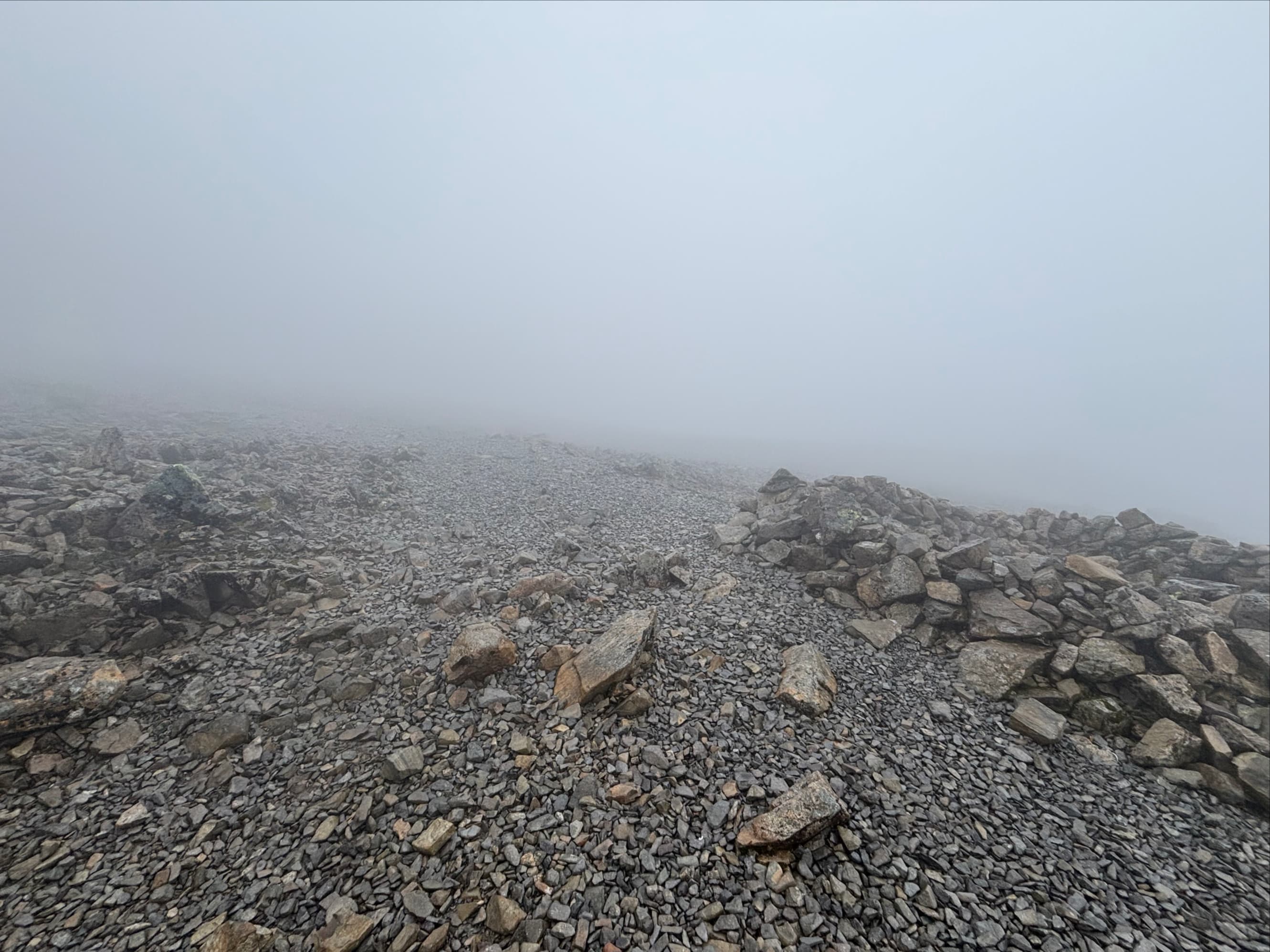
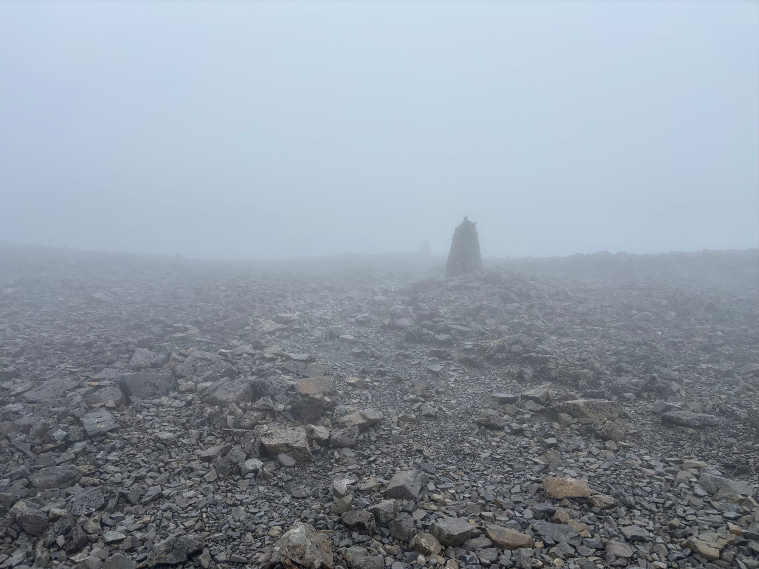
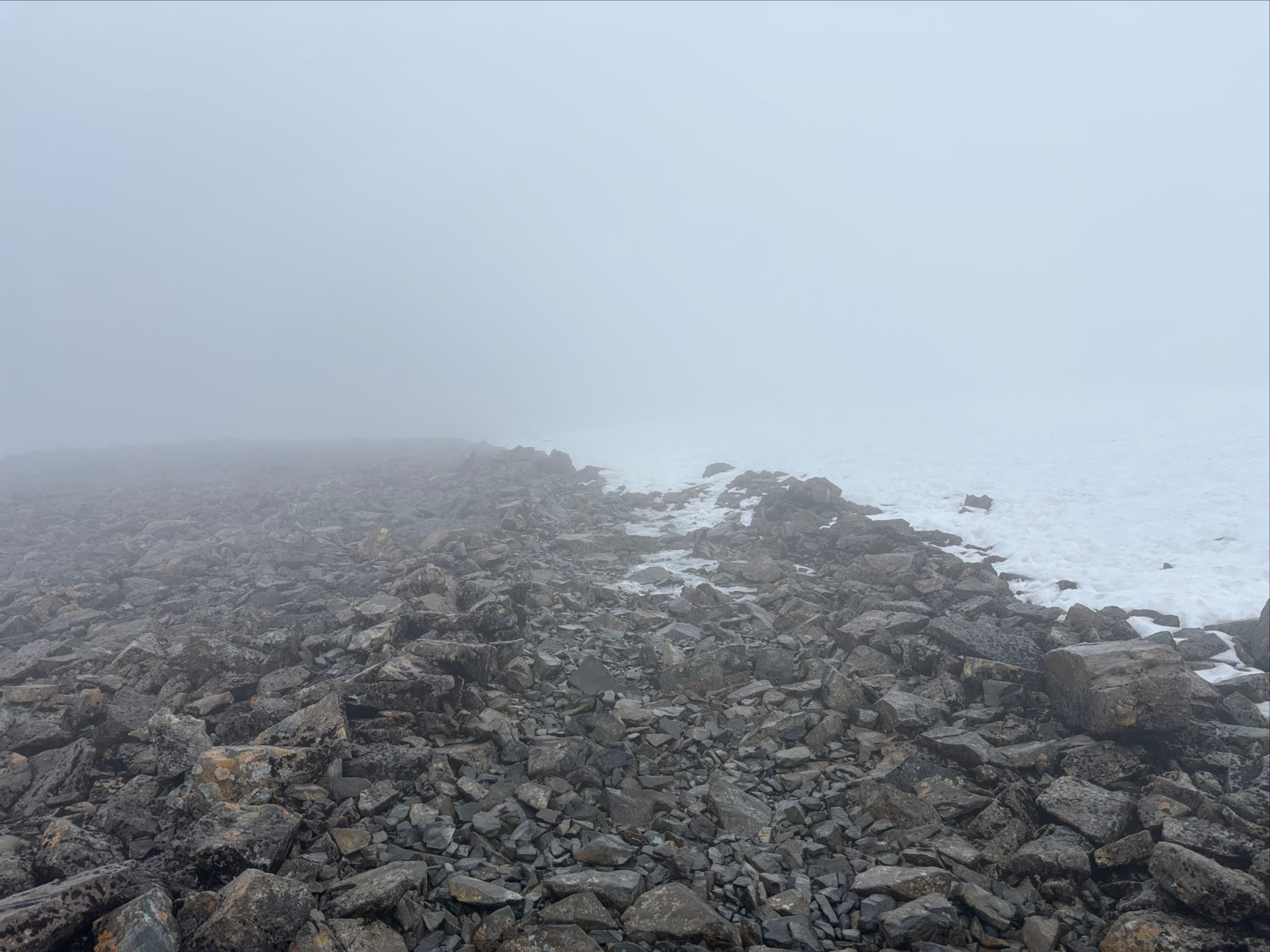
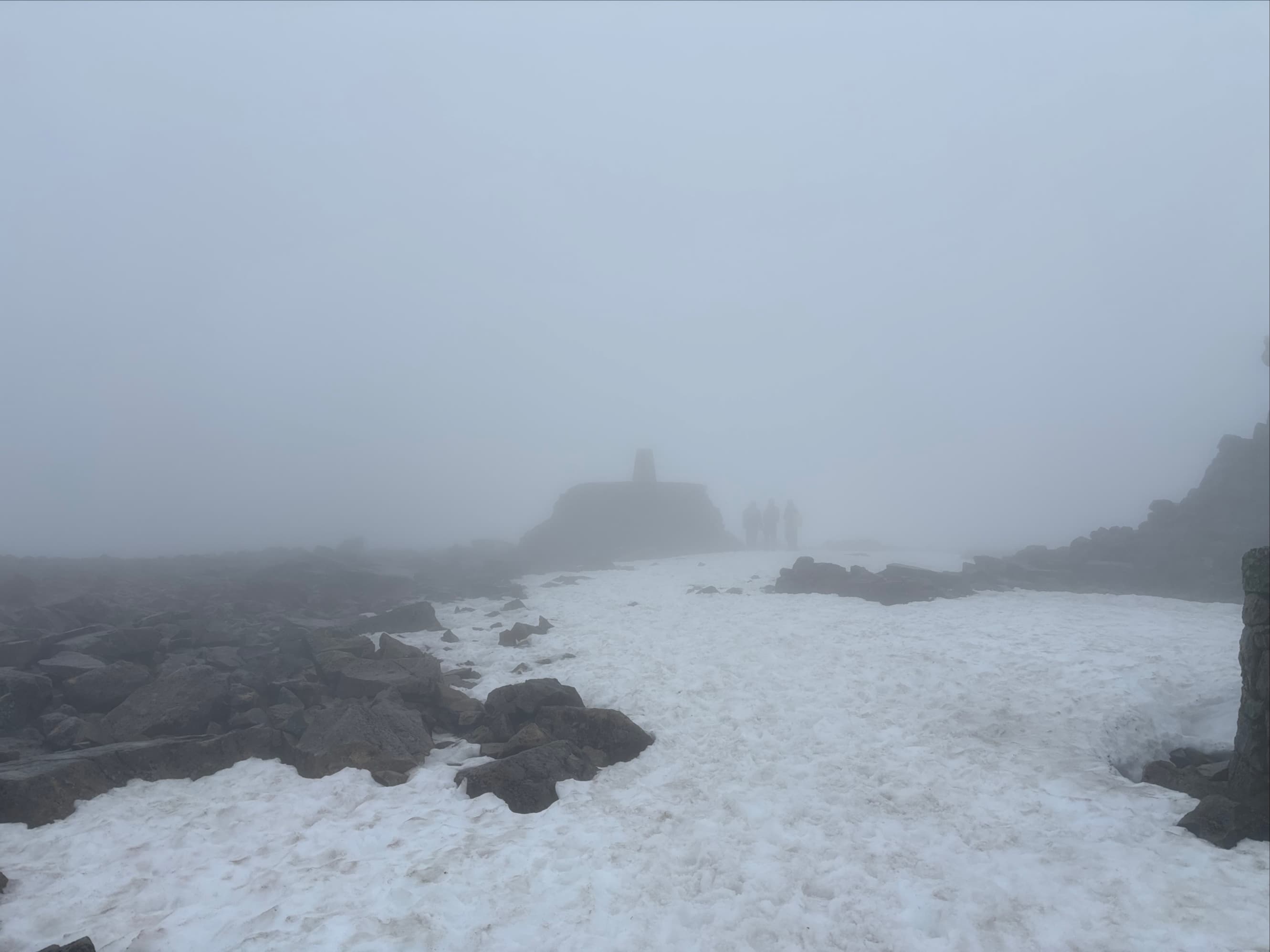
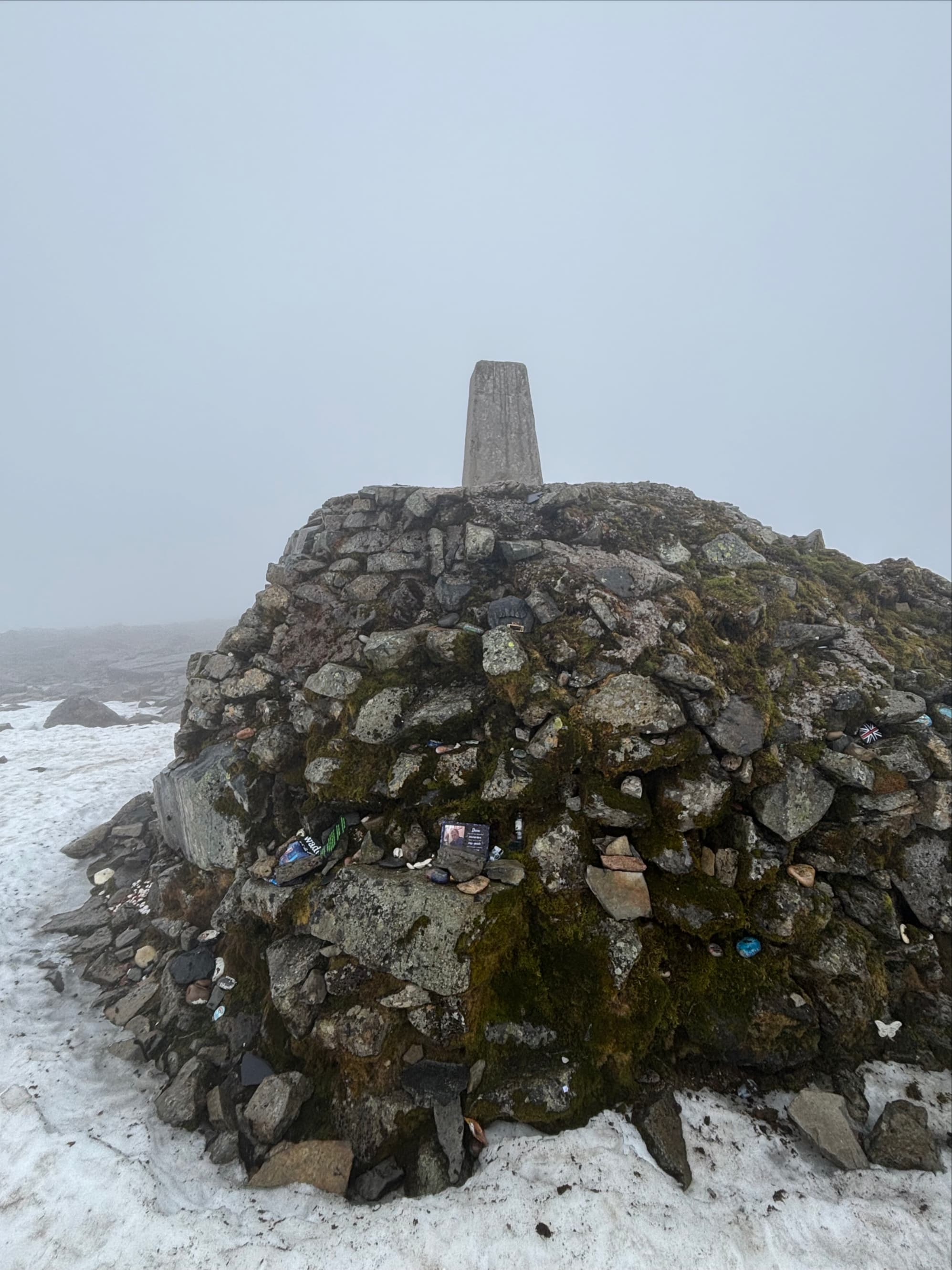
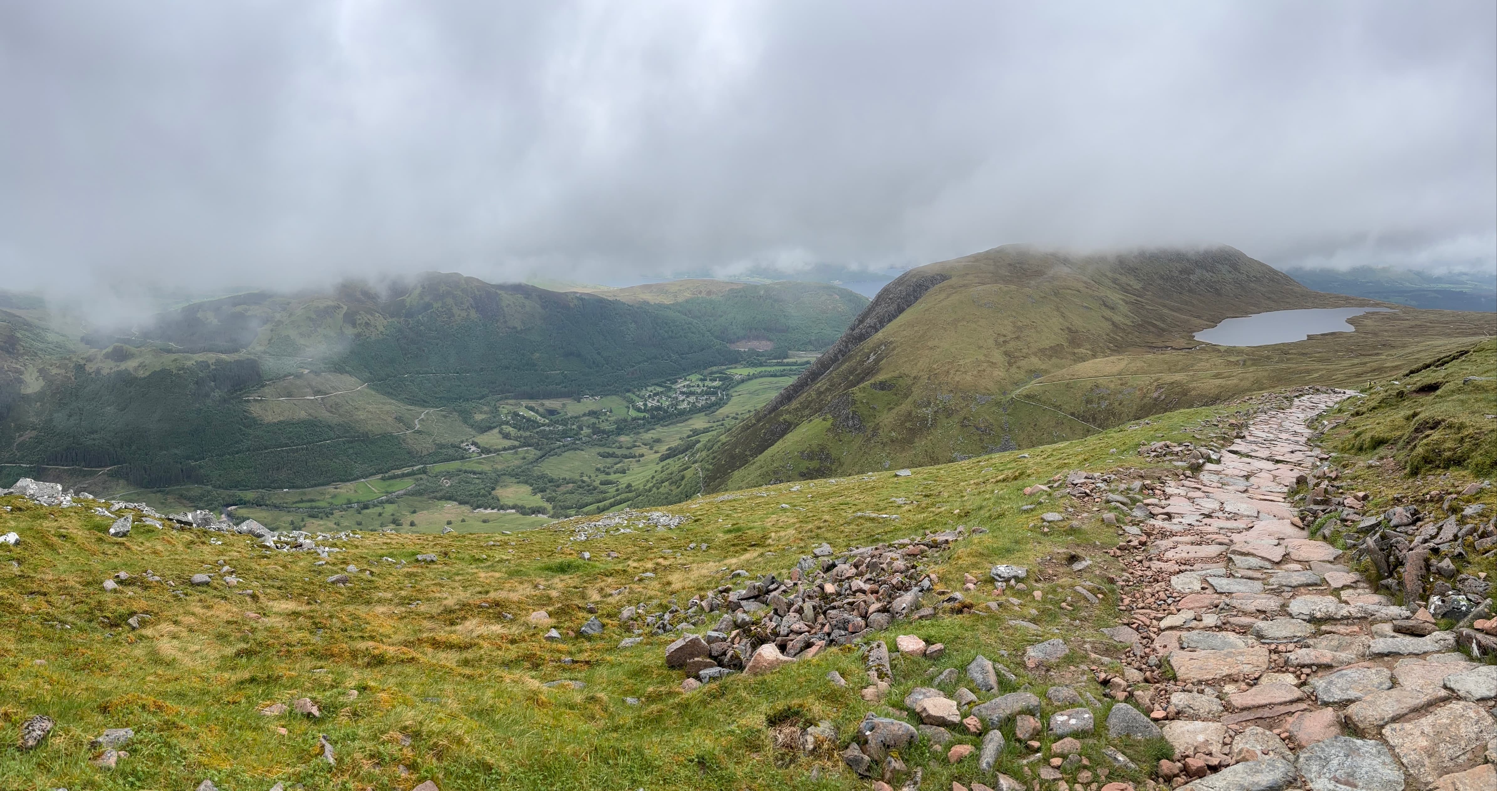
The ascent is on an excellent trail with a very manageable grade. Initially, it traverses and ascends along the southwest slopes of Meall an t-Suidhe, Ben Nevis’s western outlier. Then it hooks into the wide drainage between the two peaks and crosses the lip of a hanging valley holding Lochan Meall an t-Suidhe before ascending Ben Nevis’s western face in broad switchbacks. The rain arrived soon after I set out and continued for the whole ascent, becoming ice crystals in cloud up on the summit. On the broad summit plateau I got aquainted with the true hazard of Ben Nevis: disorientation. The summit plateau is a featureless rocky expanse. In the early 2000s large cairns were erected to aid navigation. Without them you’d have to rely on your compass or GPS to keep you from wandering off a cliff or into a gully. There’s something of a foot path visible in many places but other places it’s not obvious or, depending on the time of year, covered in snow.
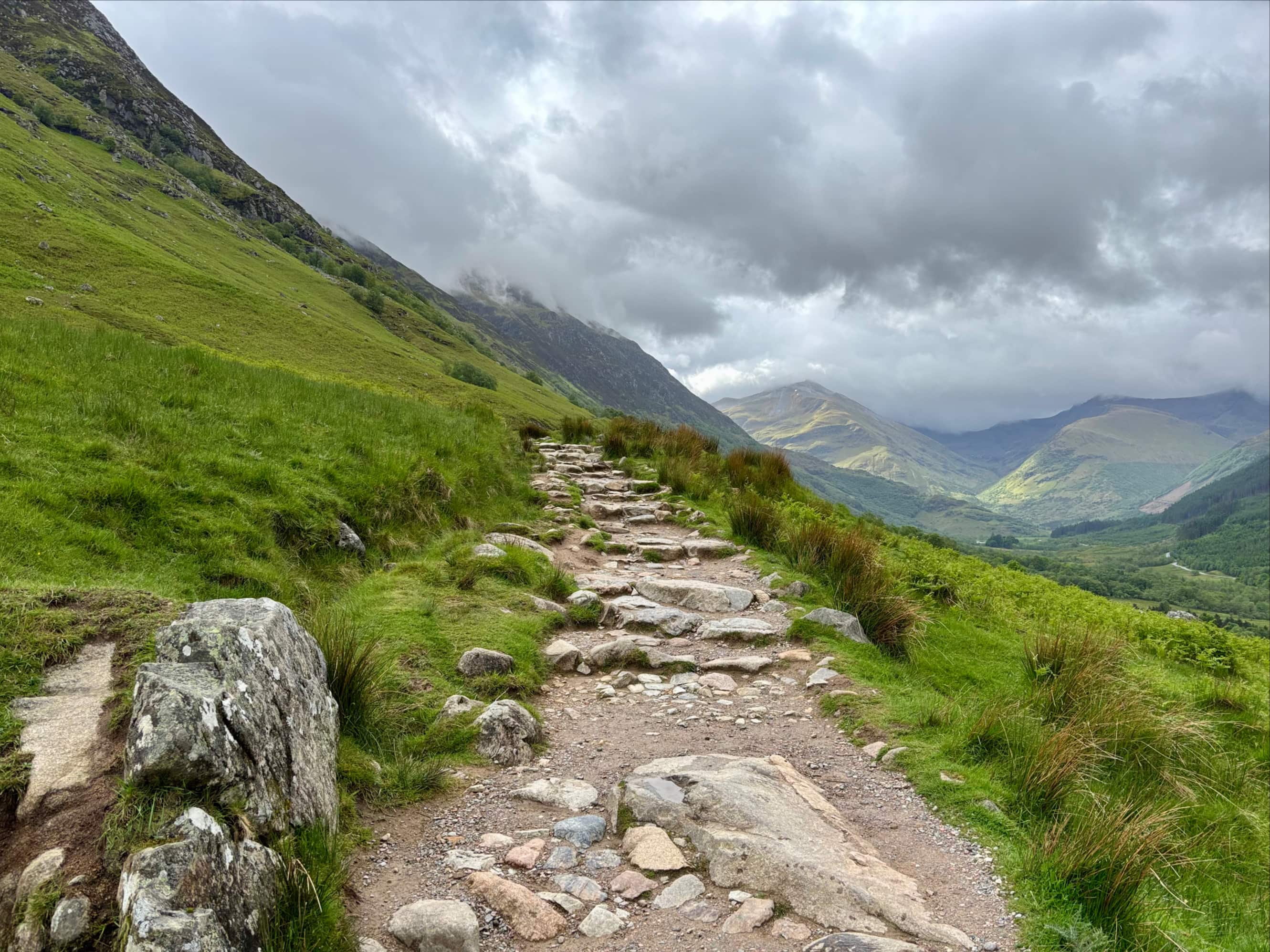
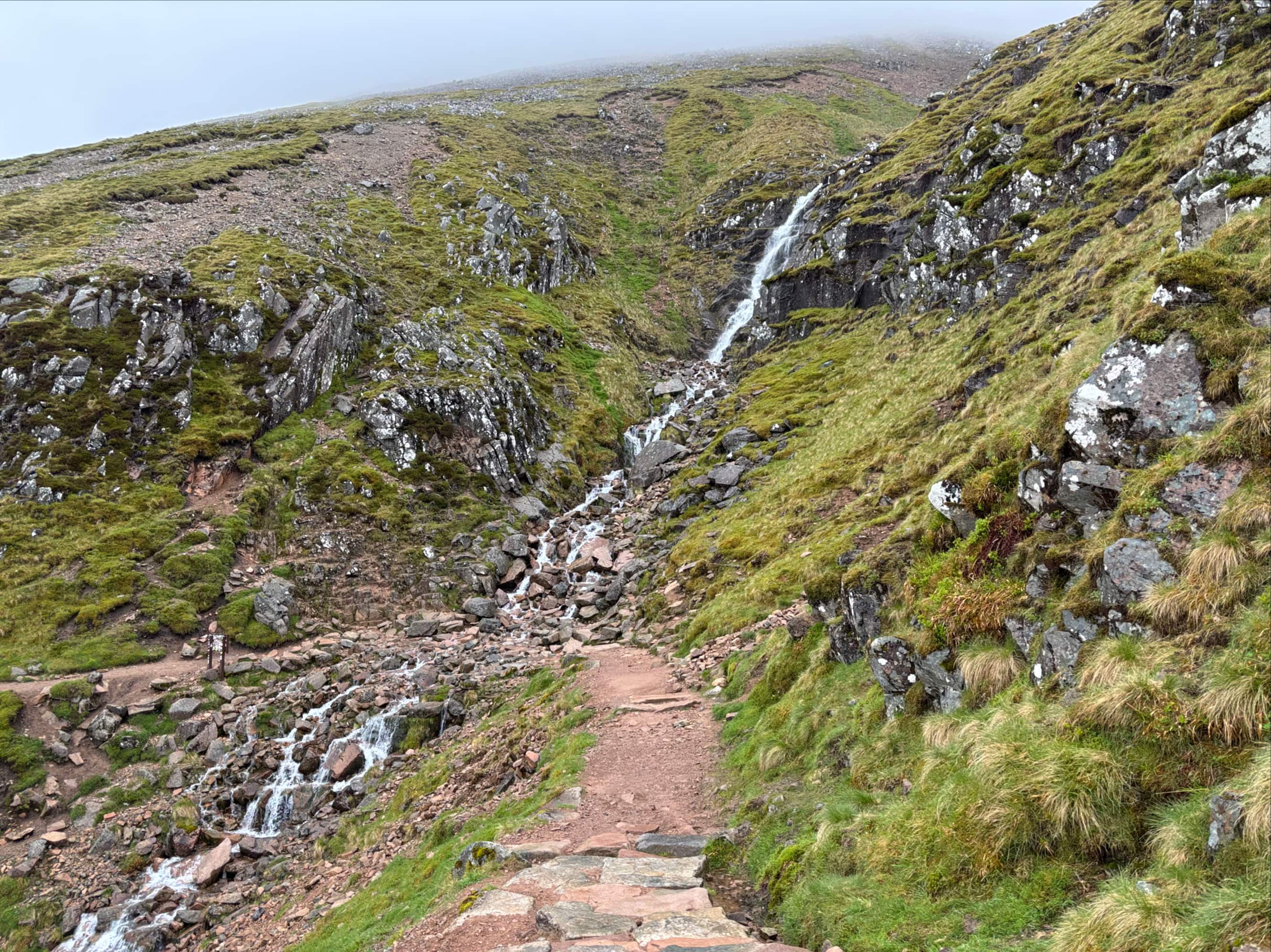
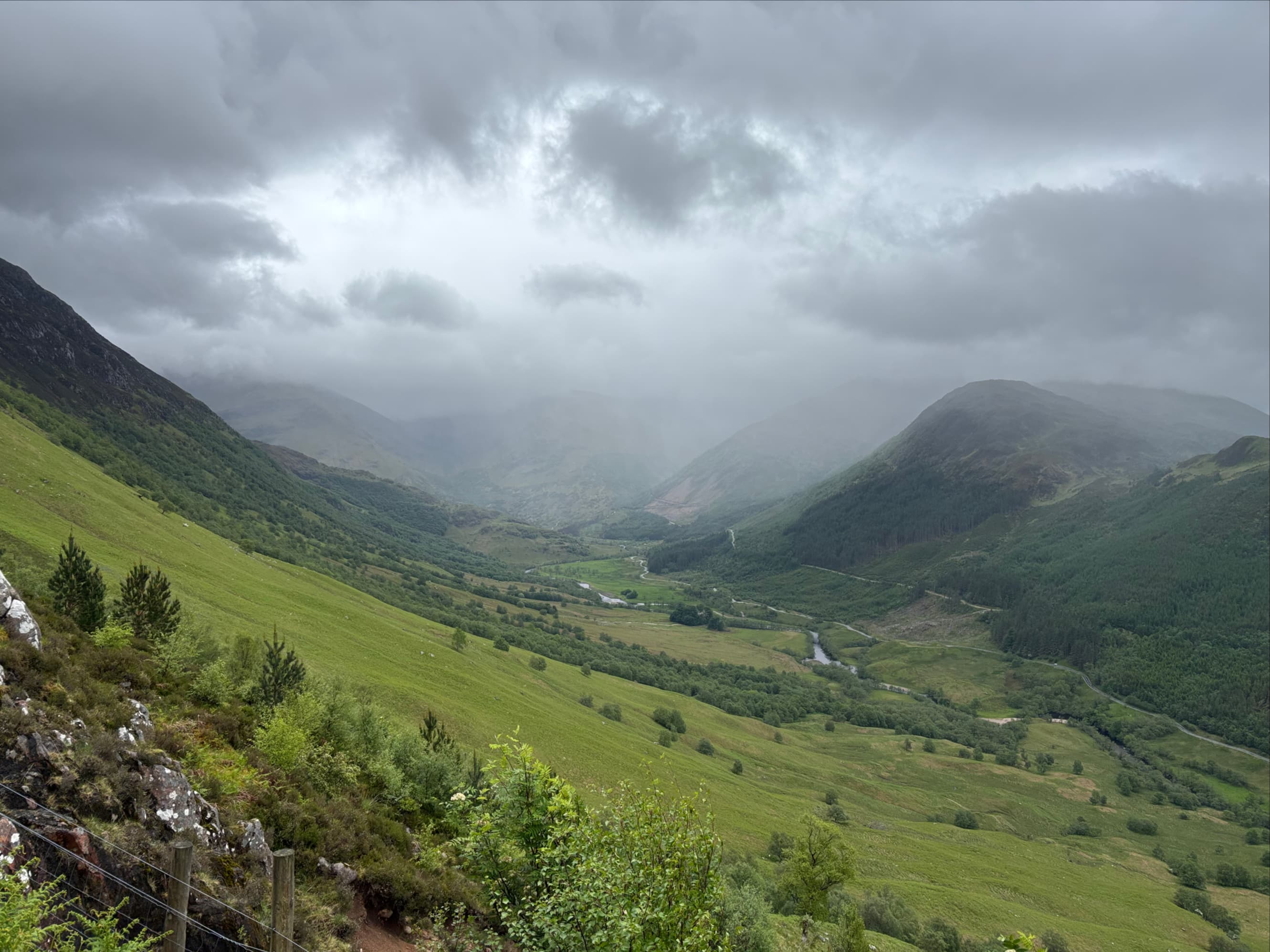
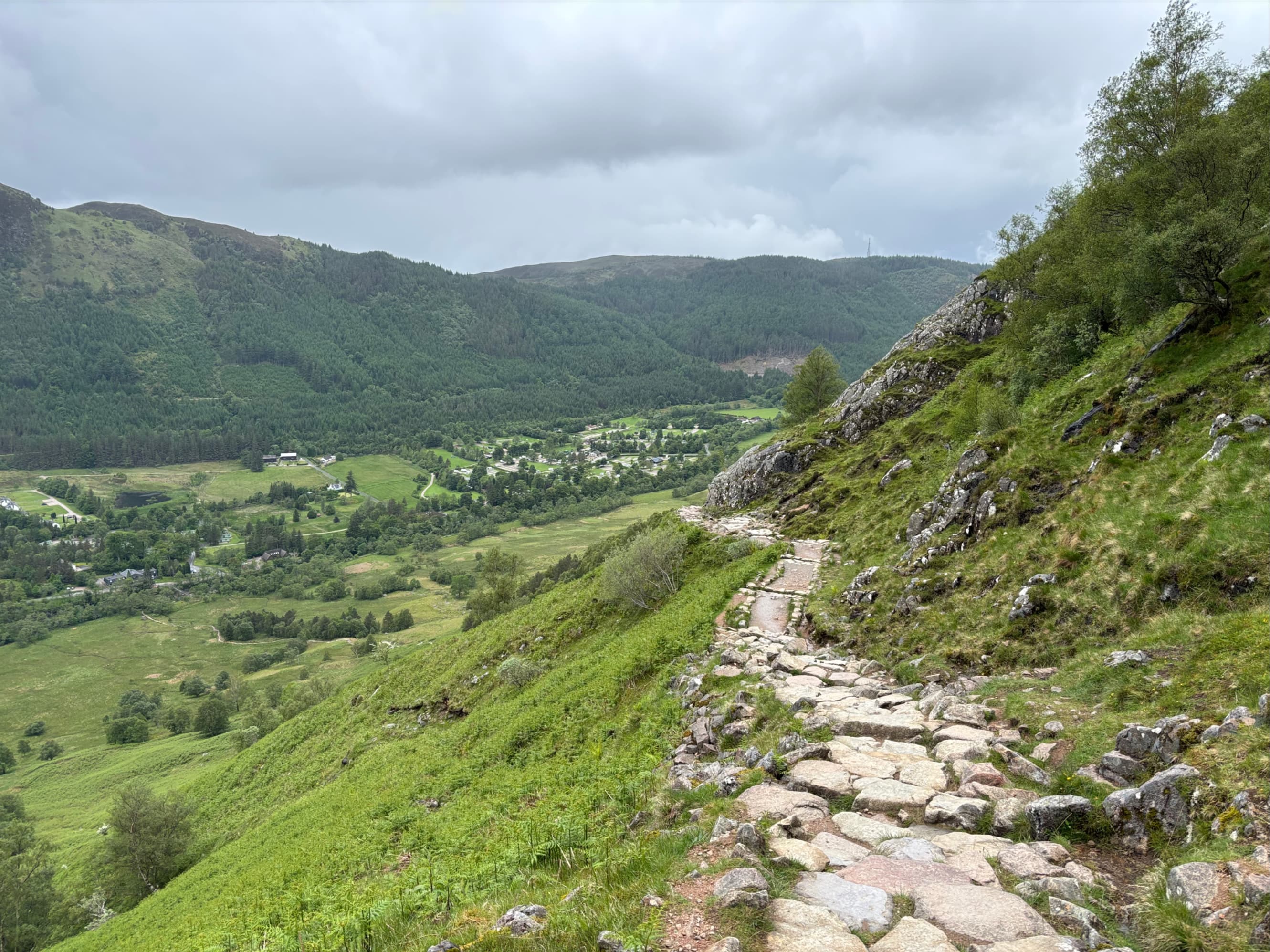
I followed the line of cairns marvelling at how, shortly after walking past one, you could start to see the shape of the next one in the distance. Sometimes I couldn’t, though, and navigated using the edge of a snow patch along with my GPS. I made it to the summit in cloud, precipitation, and very strong winds. The ascent took roughly 2h 40m. With no views to enjoy, I took a some pictures of the cairns and old buildings and proceeded to descend. Once I was down out of the cloud, the rain became more intermittent and I got a clear look at some of the surrounding scenery. I took a nice break next to where the Red Burn crosses the path as a waterfall before walking the rest of the way down.

Excellent. Is this the highest point in Scotland or in the whole UK?
LikeLike
The whole of the UK. Thanks for reading!
LikeLike