June 13, 2021. A hike up the valley between Waterton’s two tallest peaks leading to a spectacular waterfall.
- Region: Waterton Lakes National Park. Traditional Territory of the Blackfoot, Ktunaxa, and Tsuu T’ina First Nations
- Distance: 5.1 km one-way (if going beyond the official trail to stand next to the falls)
- Elevation Gain: 400 m
- Elevation of Objective: 1969 m
- Time: 2h 10m one way
- Safety and Disclaimer

The trail to Lineham Falls is mentioned in a couple of my older hiking books as a less frequently travelled trail, one where there’s a high likelihood of solitude, perhaps best saved for rainy days or shoulder season. I’m not sure why that is – the scenery is engaging all along the trail and the waterfall itself is spectacular. It would make for a good shoulder season or rainy day hike, but it’s also a great choice for a warm, sunny day. A lot of other people must feel the same way, because I’ve been seeing lots of pictures from the trail posted on Facebook groups this season. My wife and I picked a hot, cloudless, late spring day to pay the waterfall a visit.
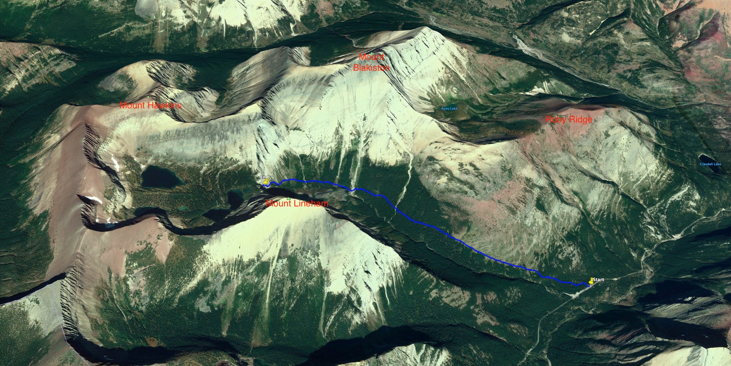
Access is from the Akamina Parkway in Waterton. About 9 km from the townsite there is a large parking area marked Lineham. We got off to an early start and there was only one other vehicle there on our arrival. The occupants were possibly scrambling Ruby Ridge or Mount Blakiston because we reached the waterfall without encountering anyone. By the end of the day the parking area was packed. We passed numerous groups on our way down, most with dogs tagging along. If this ever was a less frequently travelled trail, the secret is definitely out.
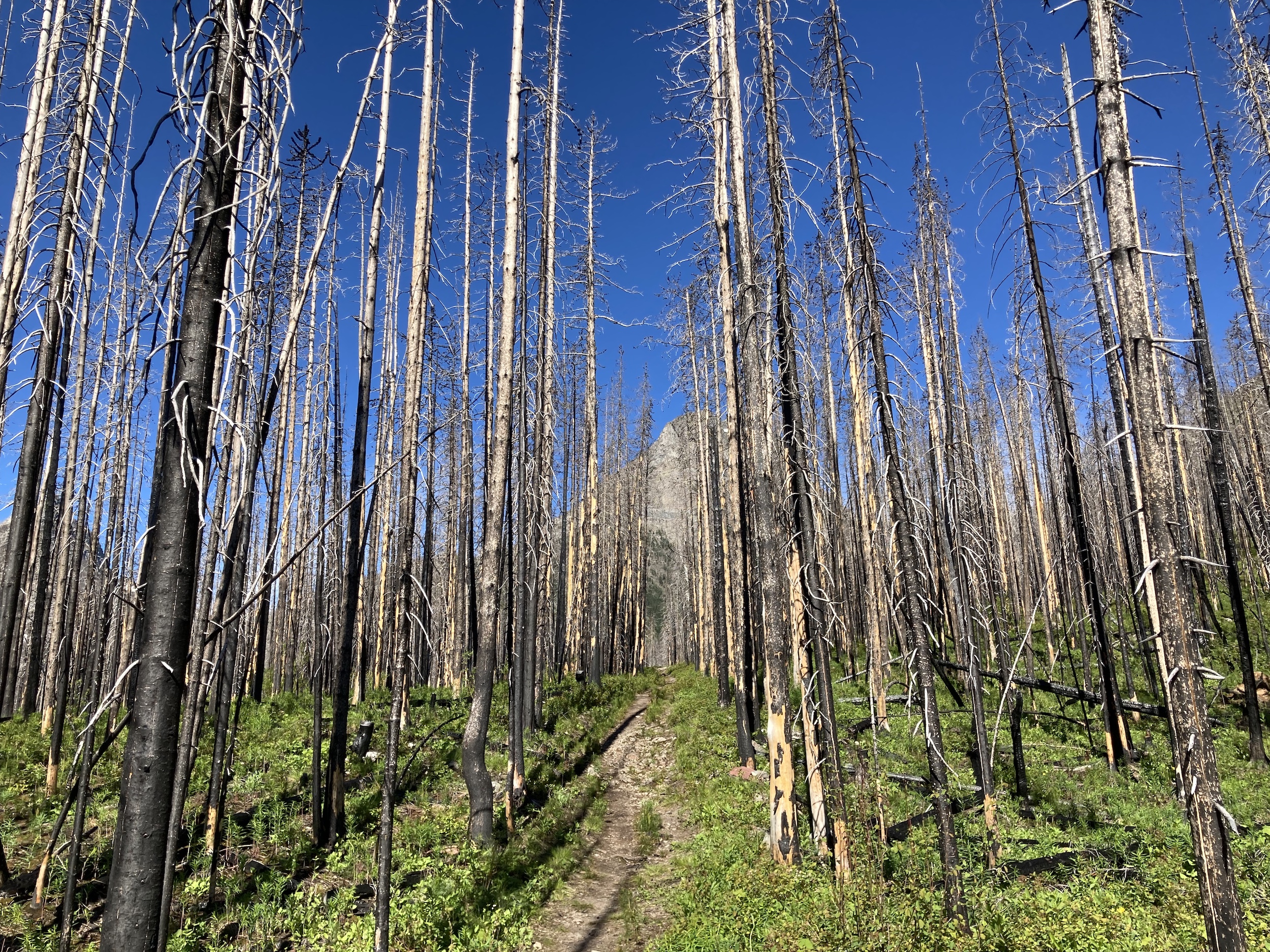
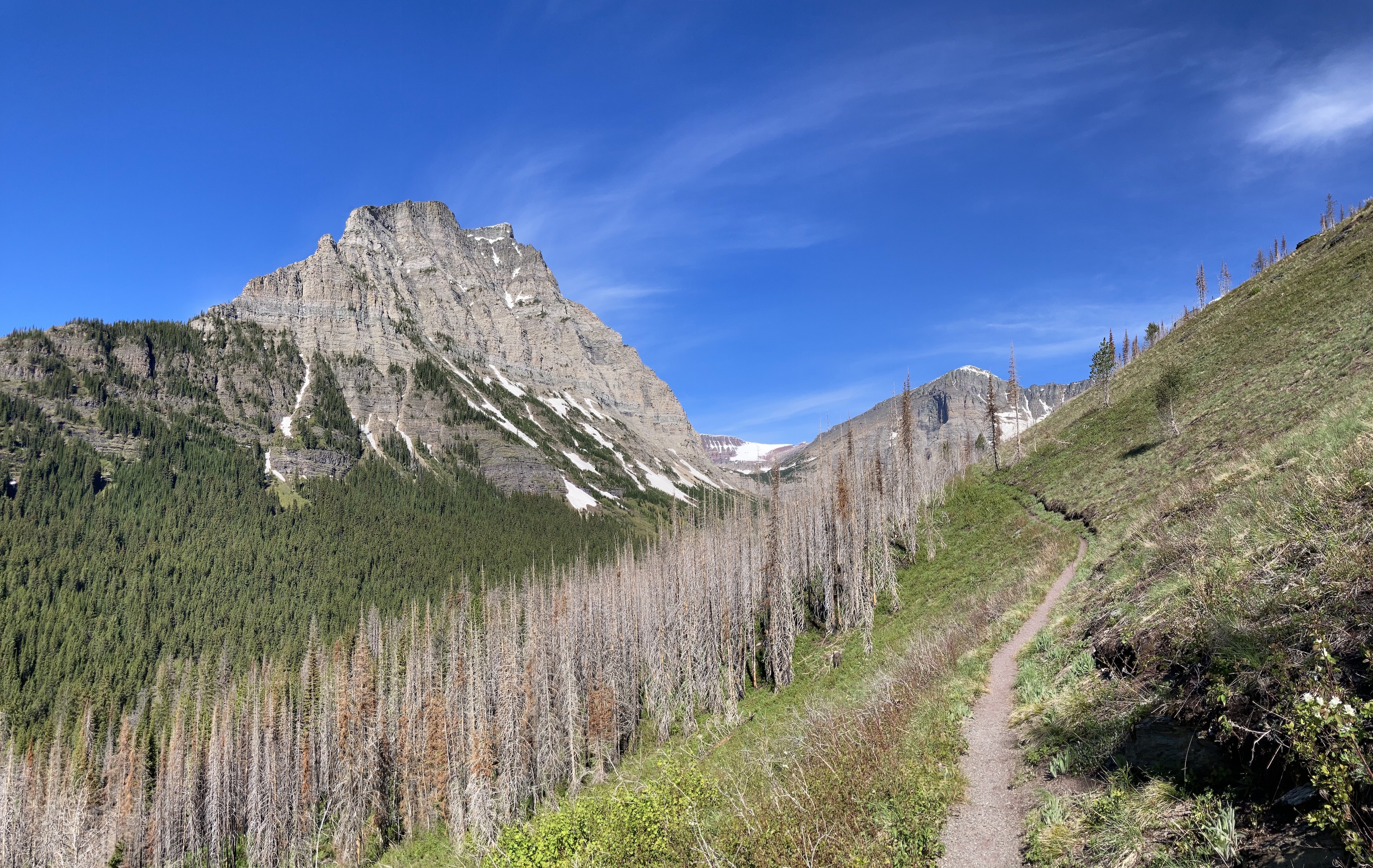
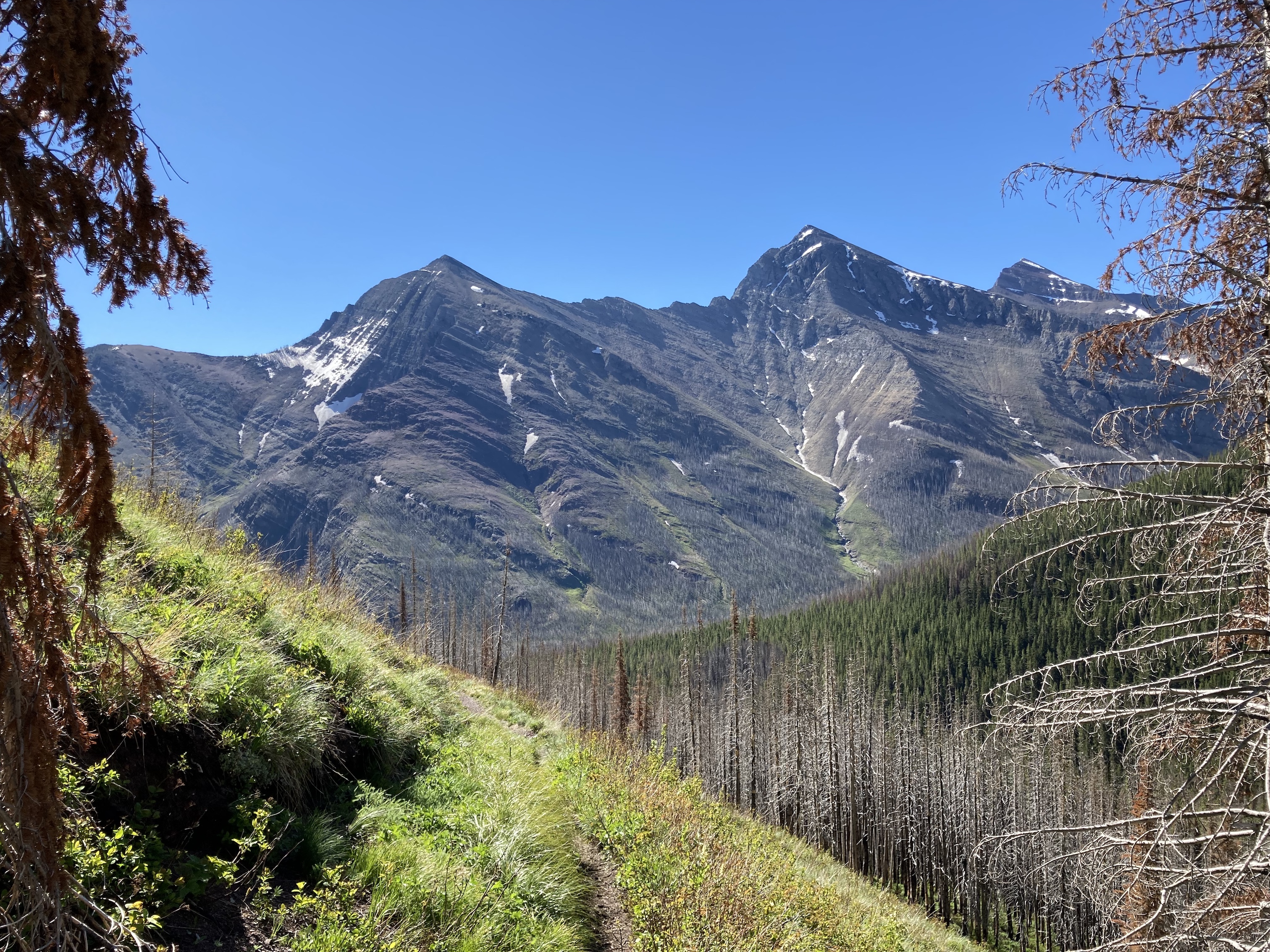
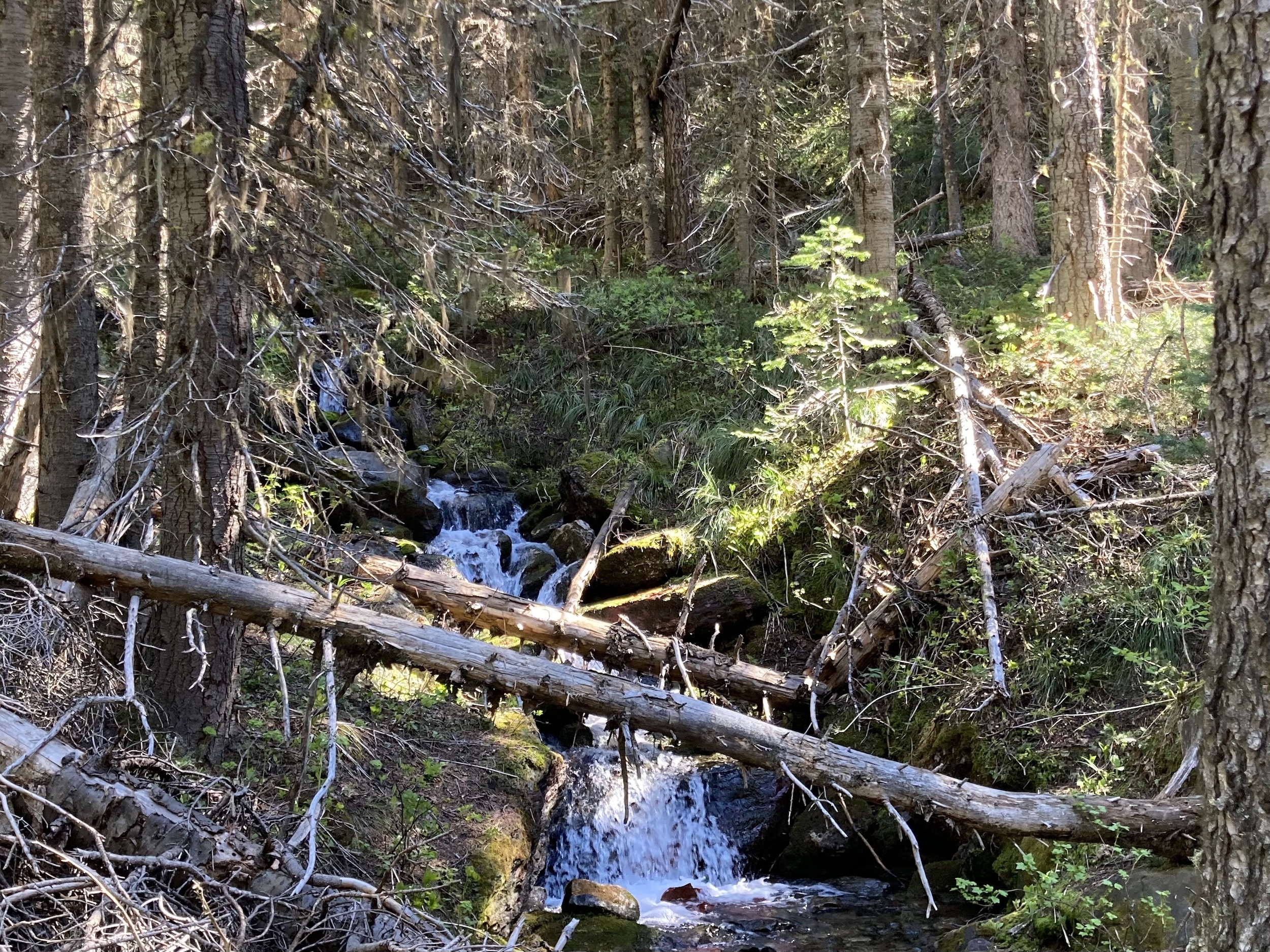
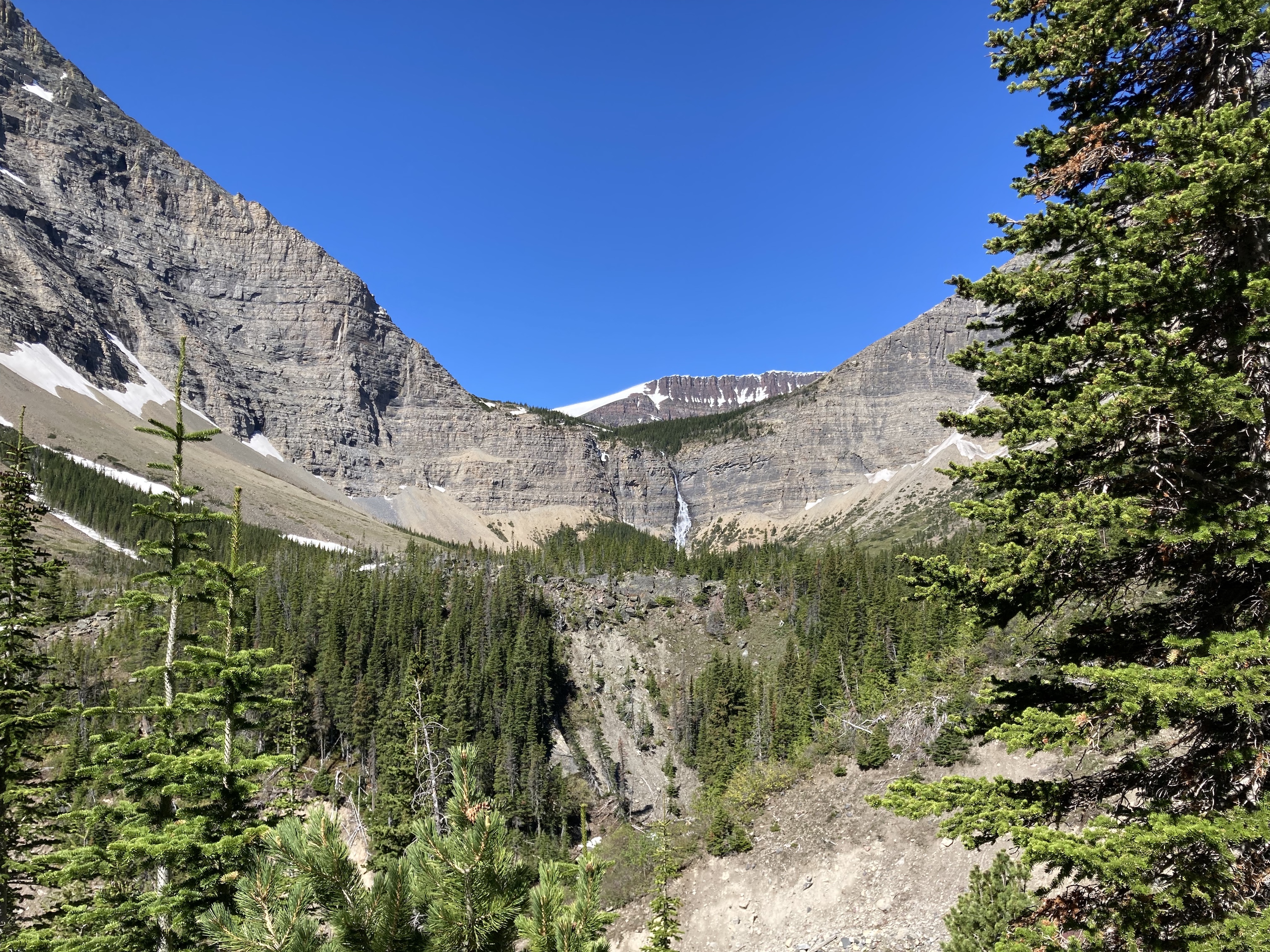
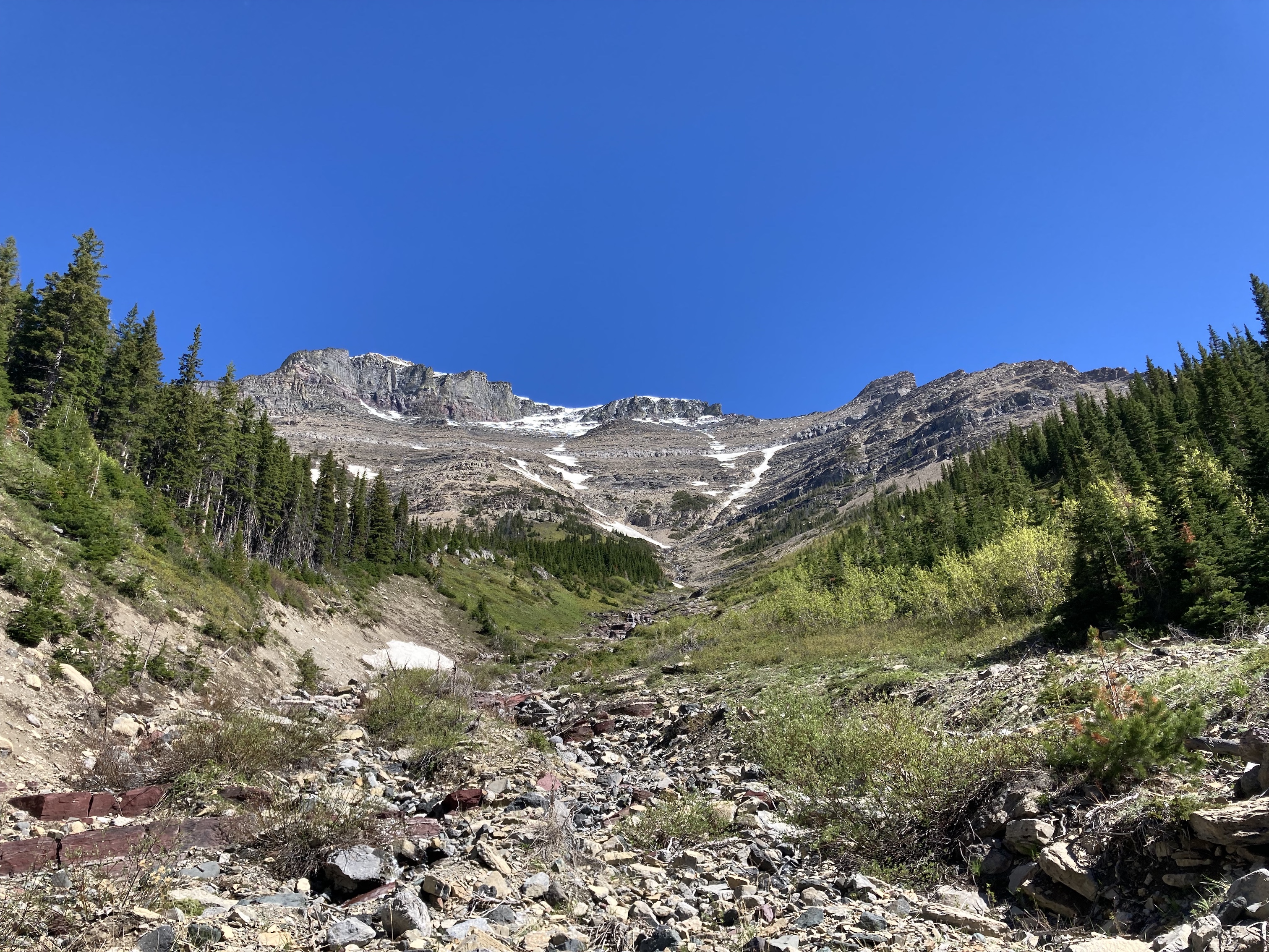
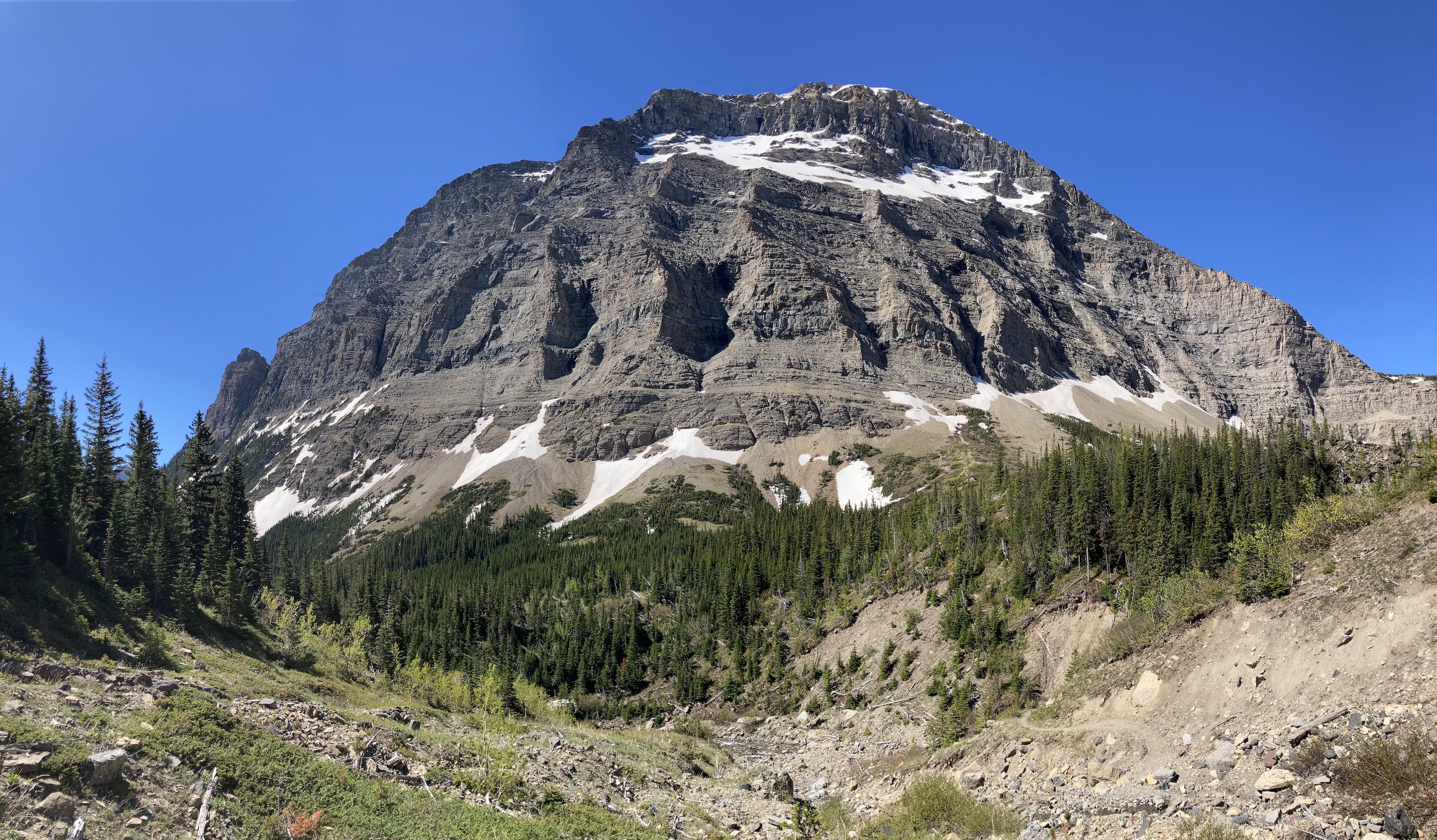
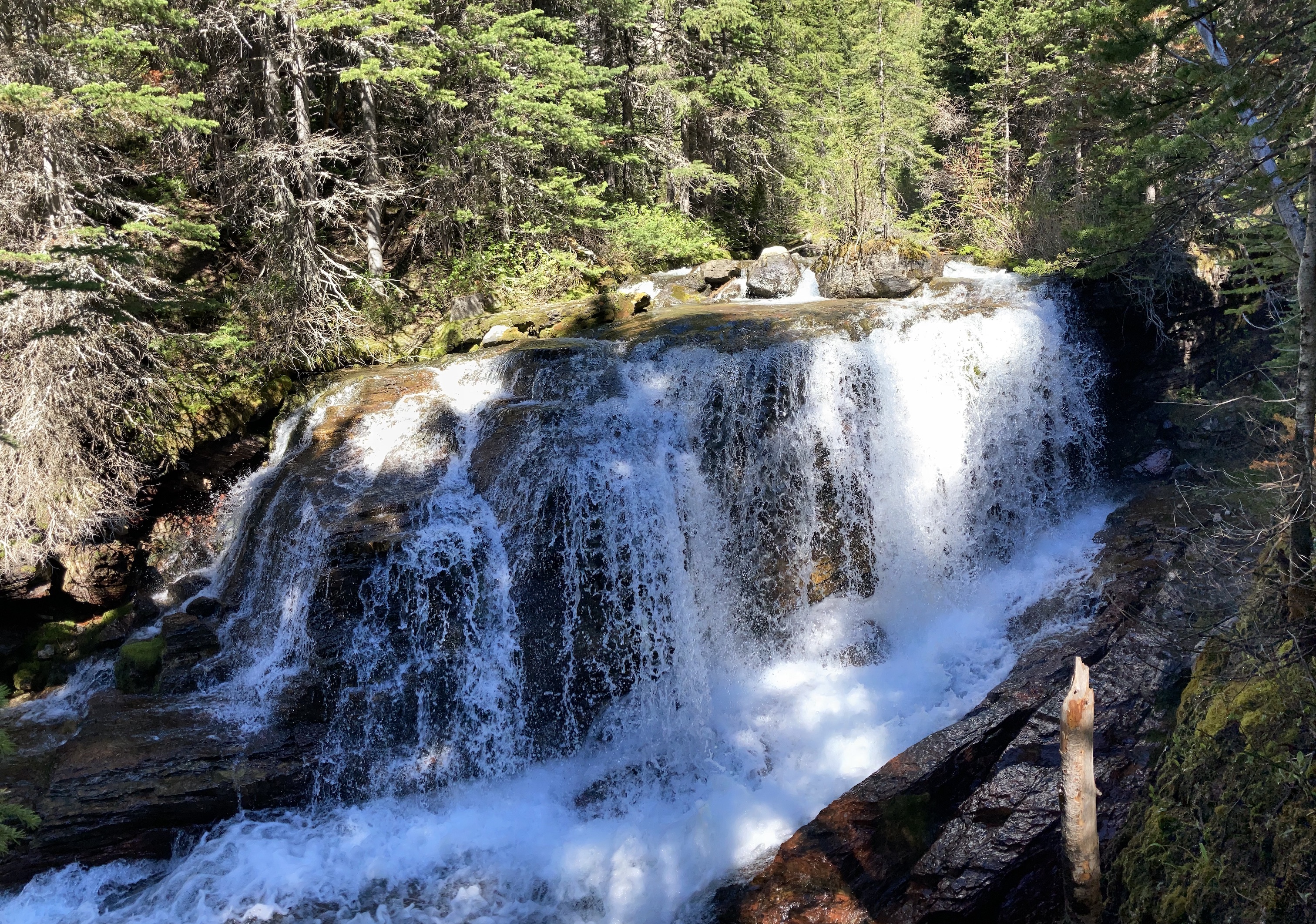
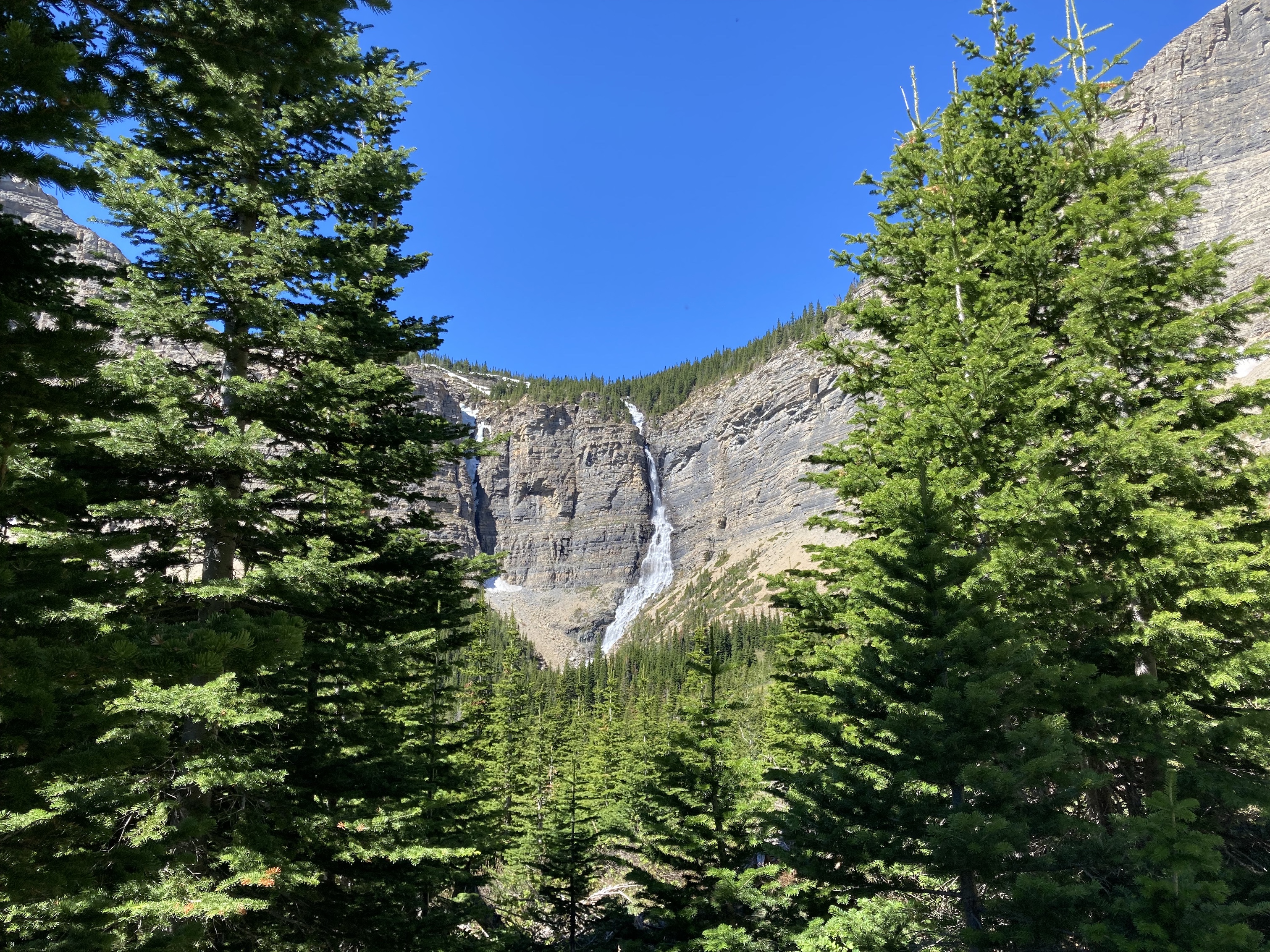
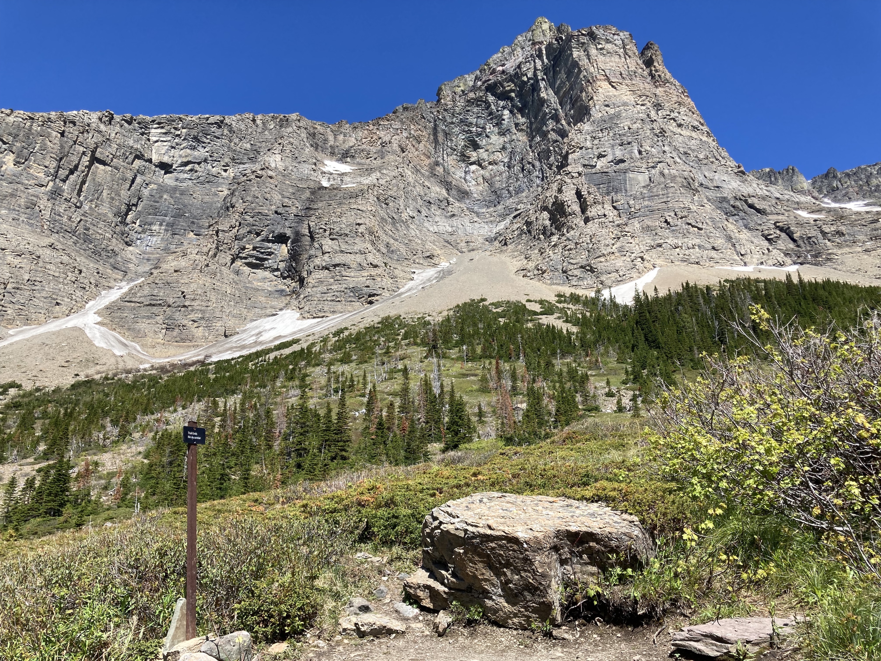
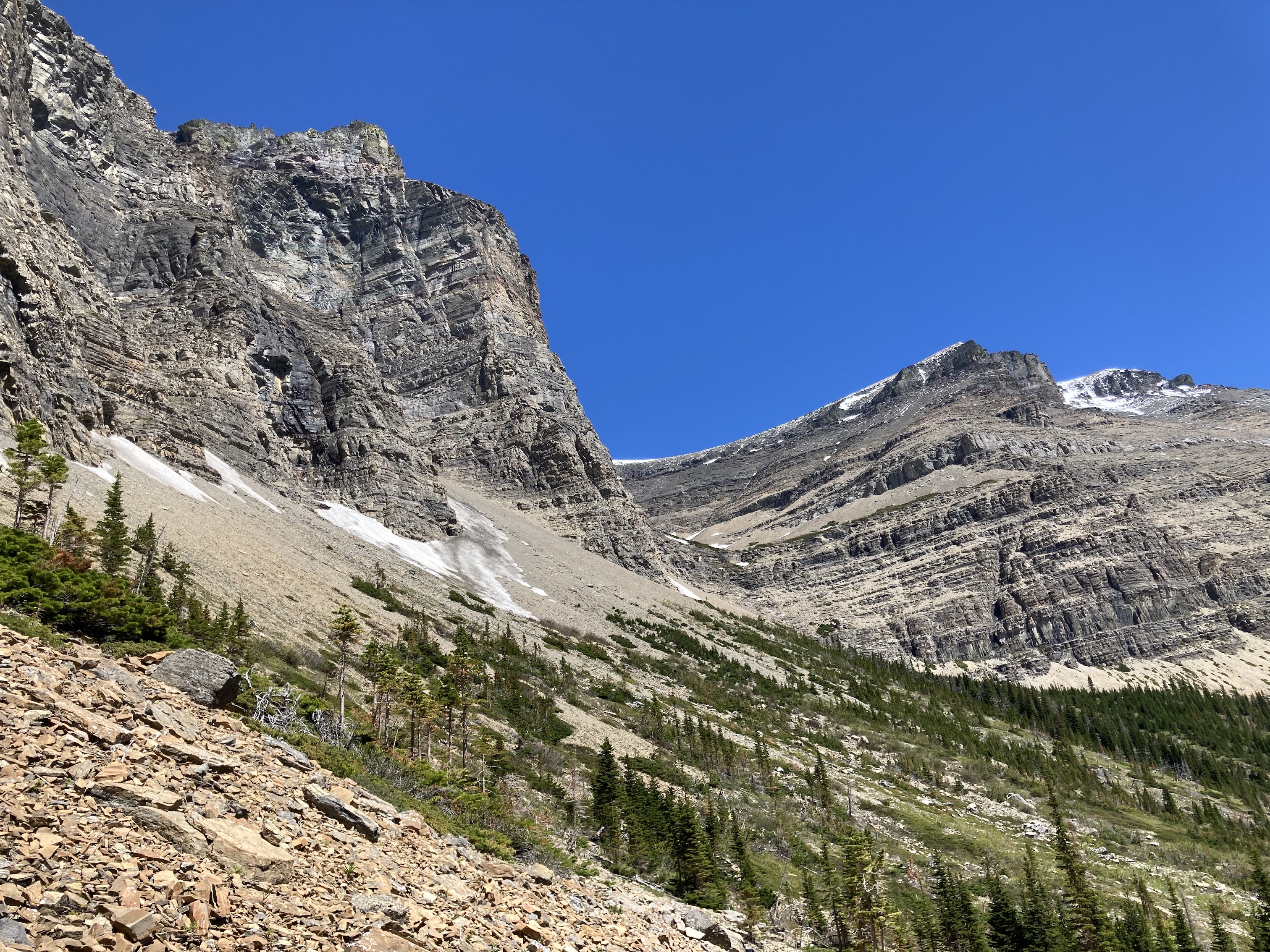
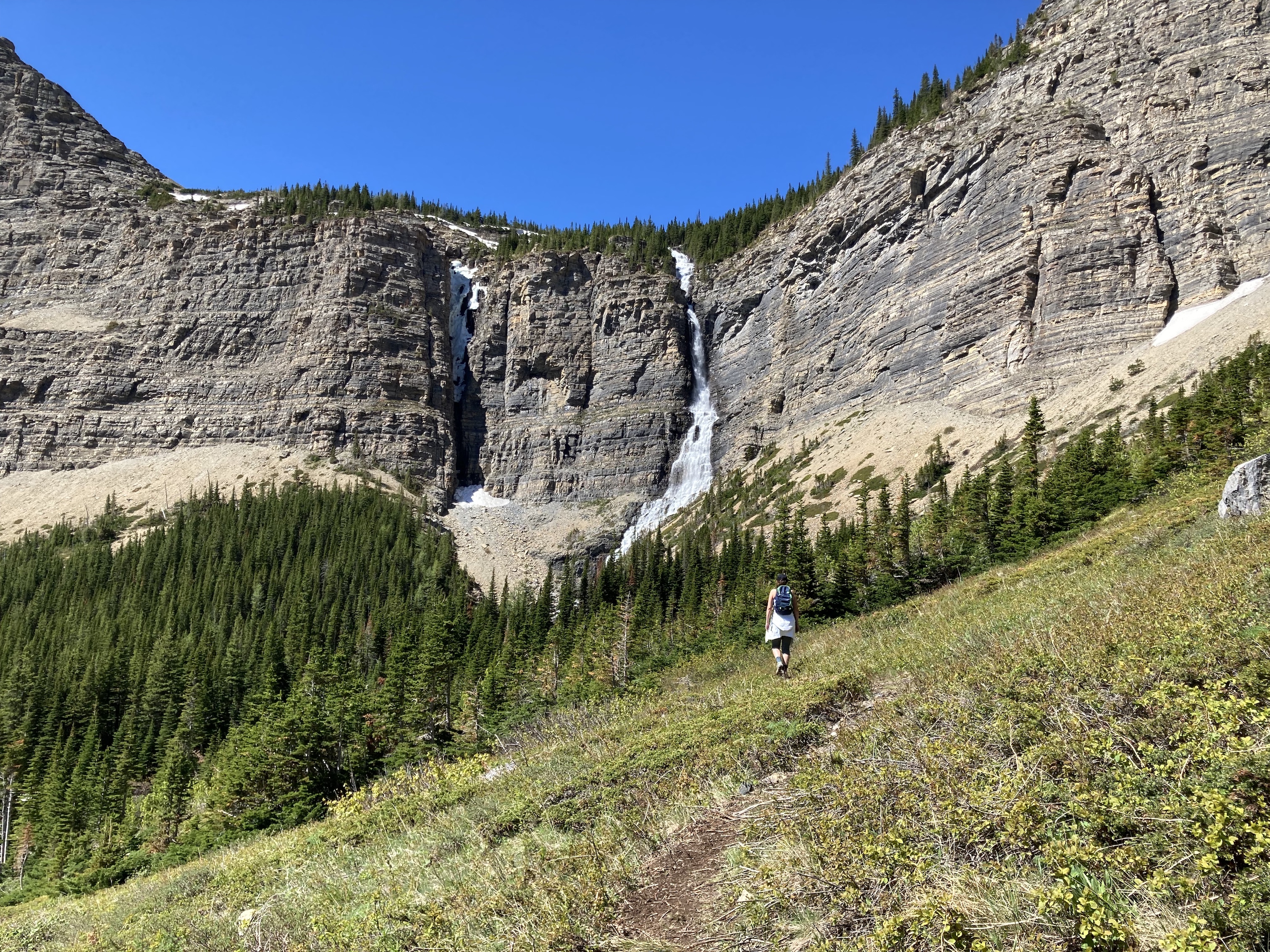
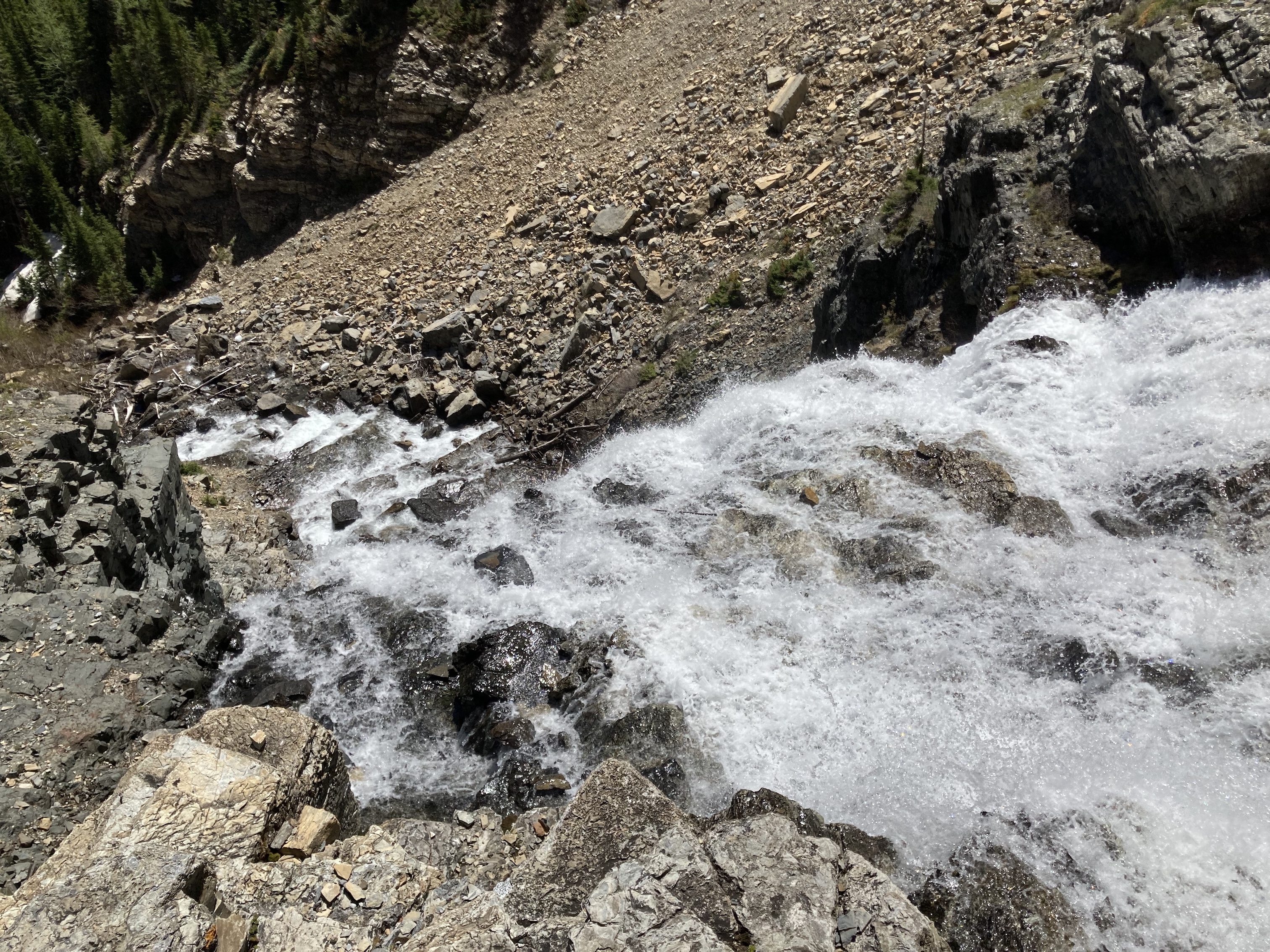
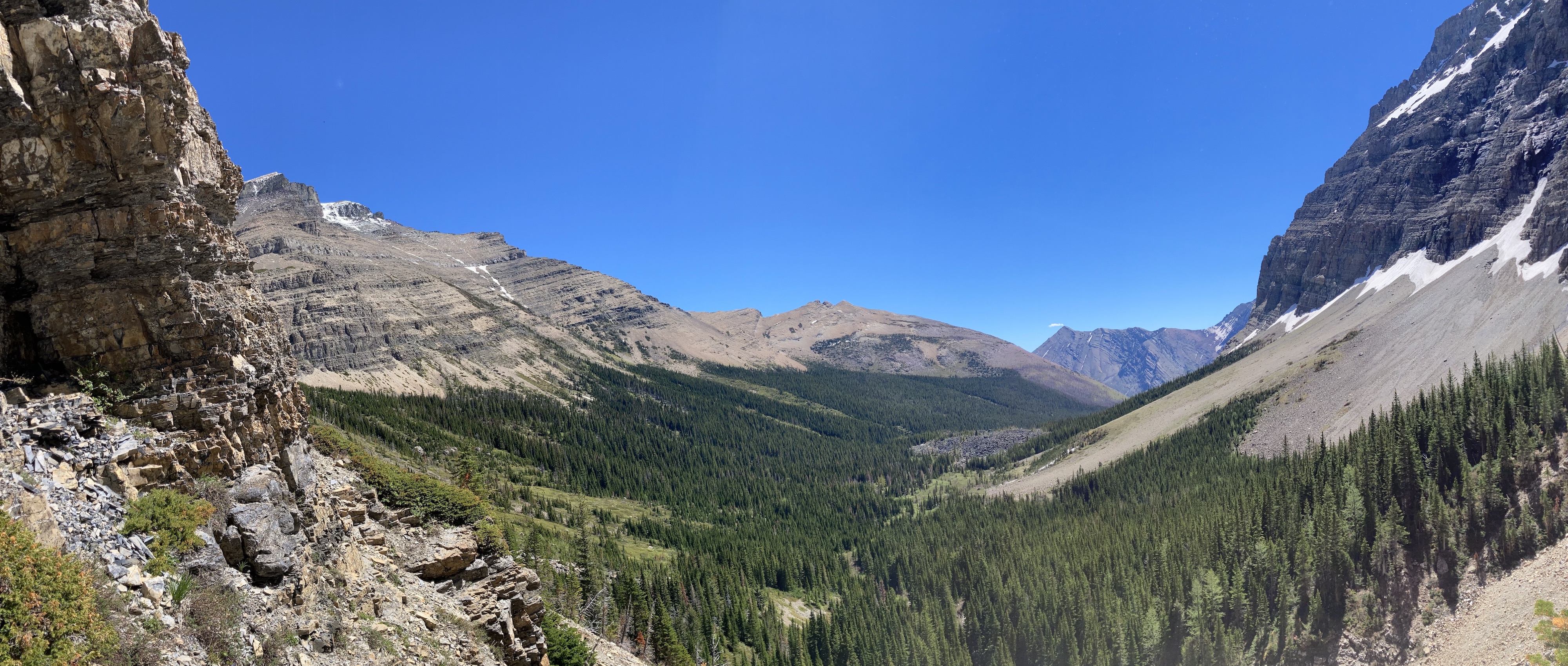
The trail is very obvious and well maintained along its length. Lower down it passes through burned forest, but eventually it enters lush green forest that escaped the 2017 fires. A little over 3 km along, the trail breaks into the open between the imposing slopes of Mount Blakiston to the north and Mount Lineham to the south. Lineham Falls is visible, more than a kilometre distant, plunging over 100 meters down a sheer cliff. The trail re-enters the forest for a time beyond there, going alongside Lineham Creek for a time. Eventually the official portion of the trail ends rather abruptly at a boulder and little sign. The waterfall is still about a half-kilometre distant from there. A boot-beaten path carries on towards the falls. It’s easy enough to follow at first, but because less distinct as it gets nearer the falls. We found a faint trail ascending a bit onto rocky terrain above a densely treed area. Following it we eventually got to a more obvious footpath in the rubble which we followed all the way to a rocky platform adjacent to the falls. We sat there for a while to enjoy the cold spray in the hot sunshine.
The waterfall is fed by a cluster of small lakes in a hanging valley above the cliffs. The lakes are best seen from Lineham Ridge. Actually travelling to the lakes is apparently possible from the waterfall side if one is a skilled technical rock climber and obtains a special permit from the Parks administration. Joey Ambrosi also describes a way to descend from Lineham Ridge down to the lakes in Southern Rockies Trail Guide. He takes pains to caution readers that the route is a dangerous one, though, so for now the lakes are safe from the crowds.
Click on the pictures in the gallery below to access full resolution images.

One thought on “Lineham Falls”