August 12, 2017. A stroll through an ancient London Park, tagging the “summit” of the County of London.
It’s vacation time, and I have the great good fortune to be spending 2 weeks in the UK. Getting ready for this trip, I hadn’t really thought about exactly what I wanted to do. I’ve been to London several times visiting family, so I had no big plans beyond relaxation, visiting the British Museum and arranging a visit to Edinburgh. Once I got here, though, I started to wonder if I could sneak in a hike.
The UK has mountainous terrain, of course, and there are hikes and scrambles to be done which would be familiar activities to Albertans. Those weren’t practical goals for my impromptu planning, though. I happened upon the amazing Saturday Walkers Club website, and was pleased to see that there were numerous options for a hike nearer to where I was staying. The Club is London based, and all of the walks and hikes described on the website include instructions on which train to take from London, at what time, in order to get to the start of the route at an appropriate time. It is fascinating reading the descriptions on this site, especially since the walks, by and large, traverse populated landscape. You could pack a lunch to bring with you, or you could stop at one of the pubs along the route and grab a bite and a pint! It’s hard to describe how appealing this prospect was following my recent escapade in the unforgiving heat on Bertha Peak.
I contacted the Walkers club on Twitter and Facebook and they kindly recommended a few hikes to consider. They have group outings, but I wouldn’t be able to fit one into my schedule. I was gearing up to do the Sevenoaks Circular route, but mitigating circumstances prevented my following through. As part of my preparations, I downloaded the excellent UK Map app. Though I ended up not needing it, I’m very pleased to have it and used it to track my walk through Hampstead Heath.
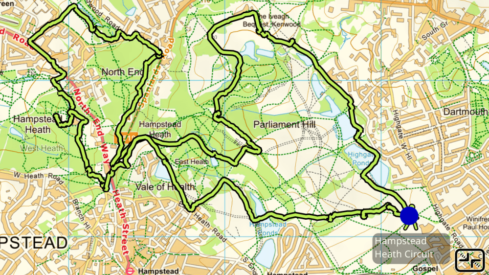
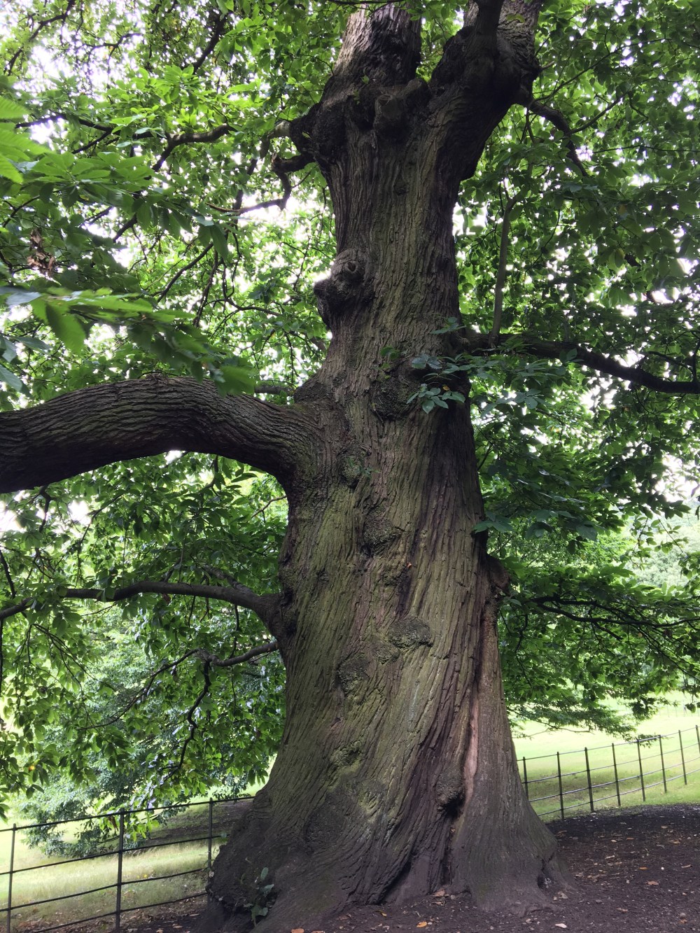
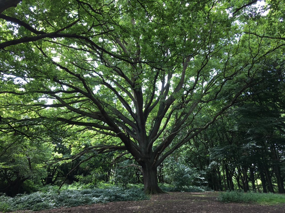
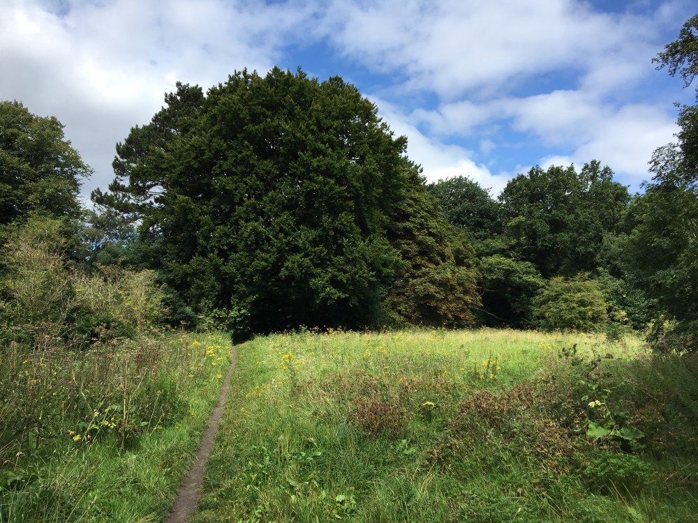
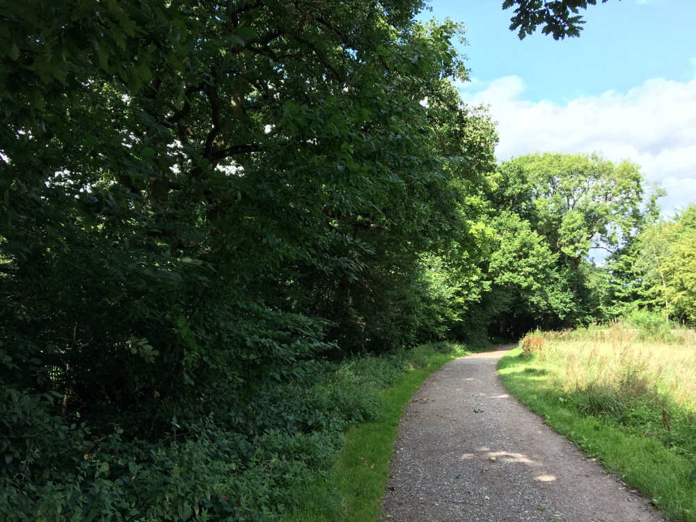
Hampstead Heath presented a good destination to get out for a long walk in an urban wilderness. It is akin to Vancouver’s Stanley Park, though at 320 hectares it’s not quite as large. It includes open fields, ponds, streams and woods. Trails vary from fully paved to pressed-down grass.
There’s a map available which has 3 suggested routes. I had enough time, so I did a modified version of the longest (#2), which takes you on a tour through the various areas of the Heath. I wandered off their suggested route from time to time, and there were lots of little side-trails into the trees that I would have liked to explore.
I travelled to the Heath from Southall via bus and London Overground. There’s a Hampstead Heath station, but it turned out that Gospel Oak station got me closer to the start of the walk.
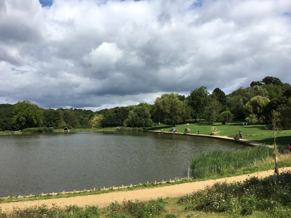
The route starts near a cafe, where I had a full English breakfast to fortify myself for the journey. Off the start, I headed toward the string of ponds that dot the eastern edge of the Heath. These were actually resevoirs for drinking water that were dug in the 16- and 1700s. The were fed by the Fleet River, one of London’s buried rivers. Some of these ponds are fishable (I didn’t find out what kinds of fish are resident), and others are designated for swimming. There’s a men’s, women’s and “mixed” swimming pond. Behind the ponds is a lane which was known as the Poet’s Lane, where Keats (“A thing of beauty is a joy forever”) once walked.
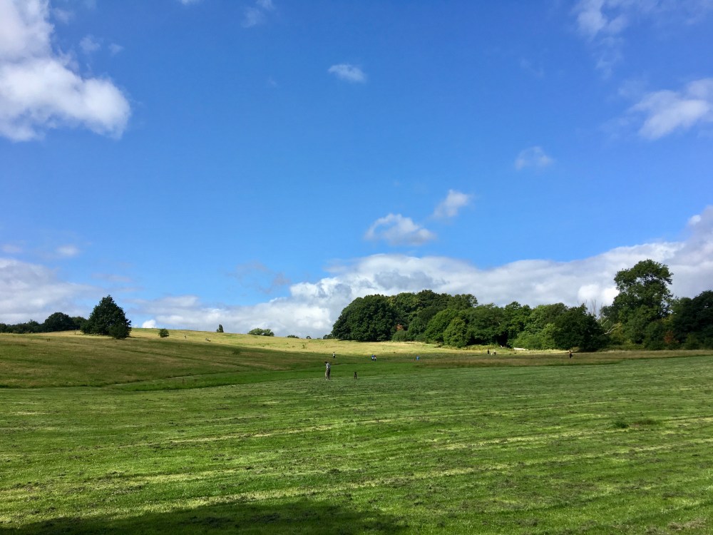
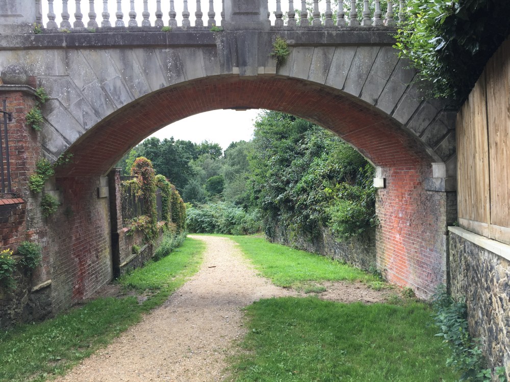
Not far beyond, the route overlooks a clearing, and at the north end stands Kenwood House, an impressive mansion that is now managed by English Heritage. The first phases of the mansion were built in the 1600s, and it was remodelled over the ensuing decades. The route continues beyond the mansion, and I chose to follow the path into the trees, rather than the suggested route around the West Meadow. I went past the “Duelling Grounds”, then over the Viaduct Pond, proceeding west. The Duelling Grounds are apparently exactly 40 paces across, but I didn’t stop to find out.
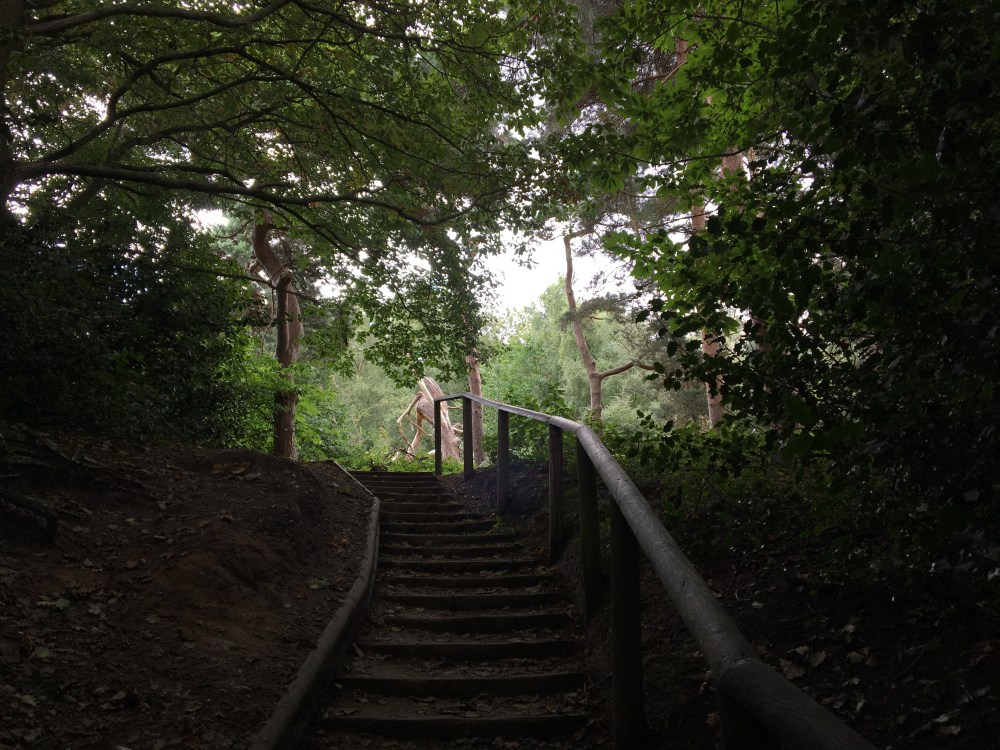
I rejoined the recommended route and crossed the road into the area called the Sandy Heath. There were dirt trails here, no gravel or pavement, and more solitude. The name of the area recalls its make-up prior to large excavations for brick-making in the 1800s. Eventually, the trail crosses into the Hempstead Heath Extension. This area is interesting as it retains portions of the “Wylde Wood”, England’s primordial forest.
The route then takes to the streets in order to loop you back to the West Heath. Soon, I passed an area that was once home to the Gibbet Elms, where highway men were hanged in cages and left to rot. The trail guide features this excellent poem:
As often upon Hampstead Heath,
Have seen a felon long since put to death,
Hang crackling in the sun his parchment skin,
Which to his ear had shrivell’d up his chin.
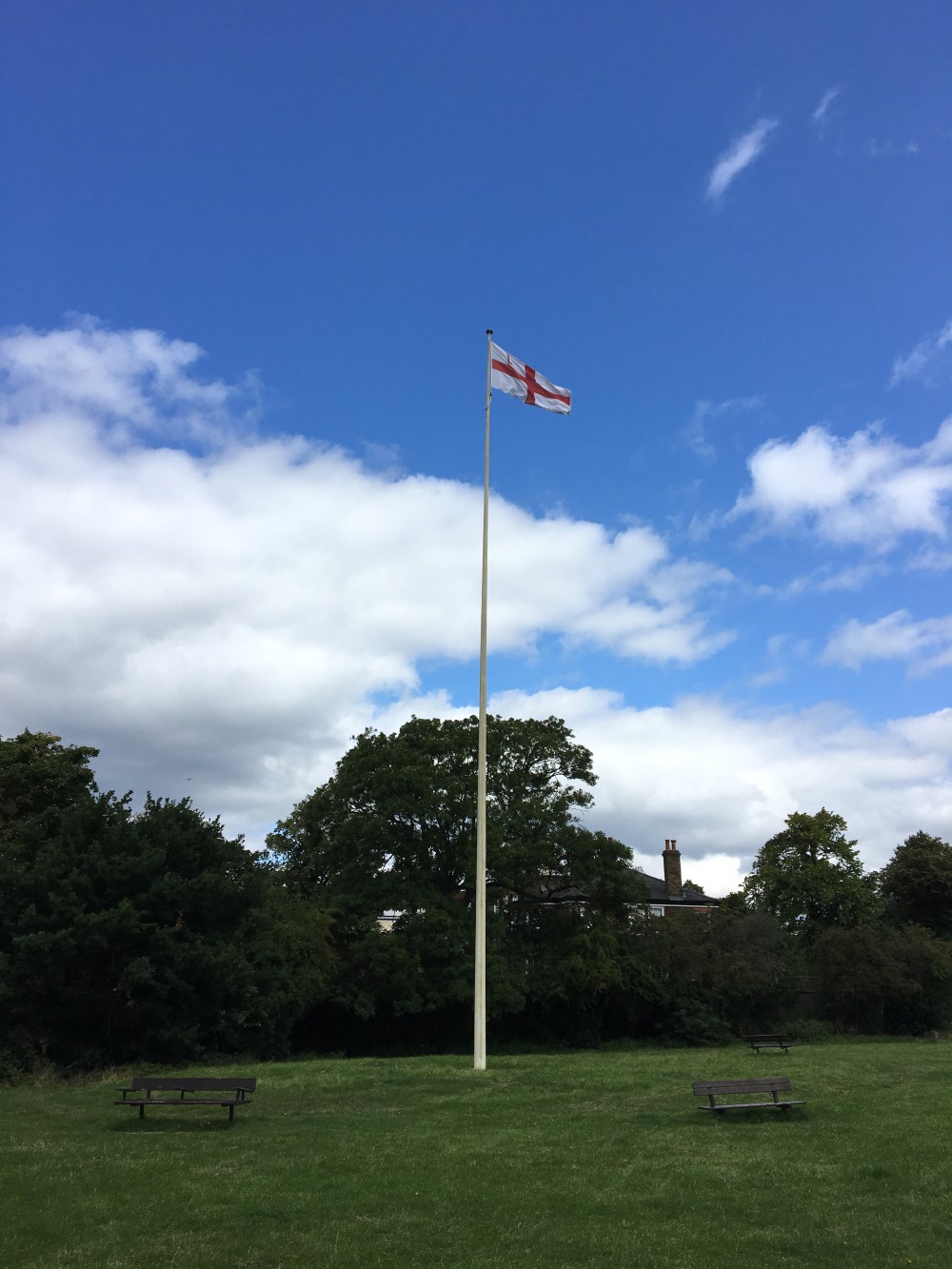
The trail then carries on past the Hill Gardens and Pergola, finally reaching (with no fanfare at all), the 134 meter summit of Hempstead Heath. This apparently is the highest natural point in the County of London. There’s no plaque or signage, but a soaring flagpole bearing the English flag marks the site. Busy roads surround the grassy island bearing the flagpole, and there’s no view whatsoever. In times past, it must have offered a better view. It was once the site of a signal fire, which was lit in 1588 to provide warning of the Spanish Armada.
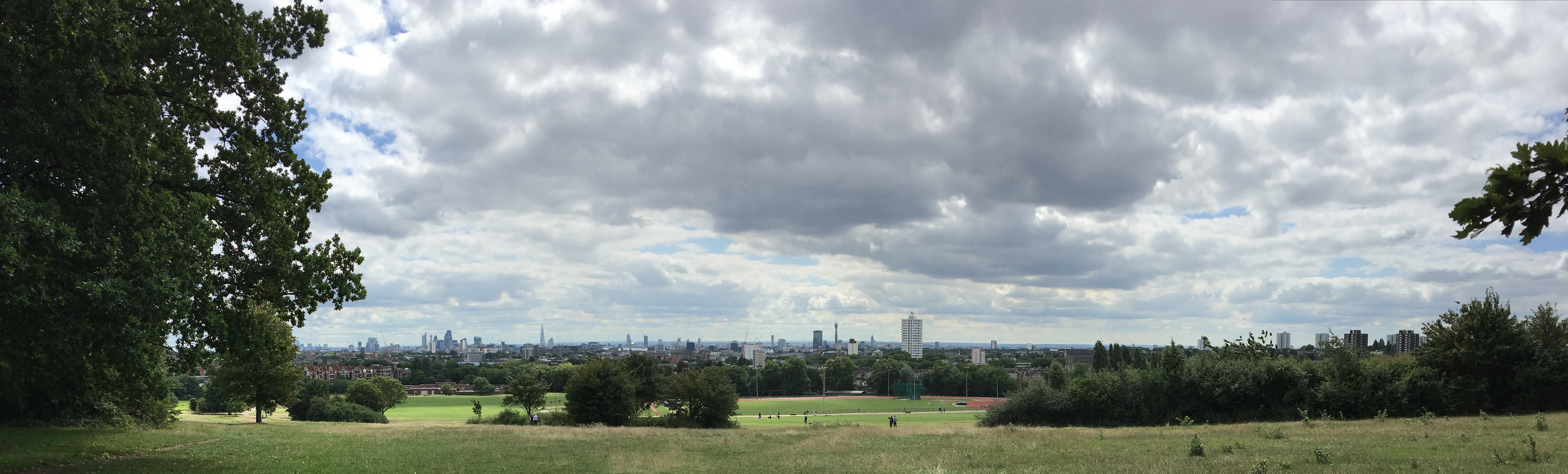
Thereafter, I crossed back into the main body of the Heath, passing through woods and around ponds until I finally reached the real view-point of the Heath: Parliament Hill. The name confused me – the UK parliament is miles away on the river Thames. Canadians are accostomed to a House of Parliament being on Parliament Hill. It turns out that this area’s name derives from the English Civil War, when soldiers loyal to parliament defended the area. It was apparently once also called Traitor’s Hill. There are stories about Guy Fawkes planning to watch the destruction of Parliament from this vantage point. These days it’s tough to make out the Parliament buildings from here because of other buildings that have subsequently been built in central London. However, it’s easy to make out landmarks like Canary Wharf, the Gherkin, the Shard, St. Paul’s Cathedral, the London Eye and the BT Tower.
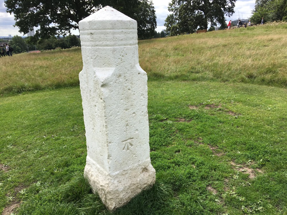
As the route returns to its starting point by the cafe, it passes one final curiosity: The Stone of Free Speech. I couldn’t actually find out the origin of the stone or if its original intent had anything to do with free speech. Apparently, though, until 200 years ago it marked the site of political and religious gatherings. It’s a short, white stone obelisk, with a single symbol carved on one face. The meaning of the symbol isn’t explained in the material I read.
That was the last point of interest in my tour of Hempstead Heath. My route covered 11.6 km, passing through open fields and dense woods. Near the cafe there are crowds of joggers and off-leash dogs, but there was more peace and seclusion in the Sandy Heath and West Heath. It was an enjoyable way to spend the day. My favourite thing about hiking in Alberta is to walk in the high and lonely places. London, on the other hand, fascinates me because of the density of humanity, and the layers of human history. From that point-of-view, there was plenty enjoy on this pleasant walk.

2 thoughts on “Hampstead Heath Circuit”