August 7, 2021. A relatively quick scramble to a summit overlooking the beautiful Rowe Lakes.
- Region: Waterton Lakes National Park. Traditional territory of the Ktnuaxa, Tsuu T’ina and Blackfoot First Nations
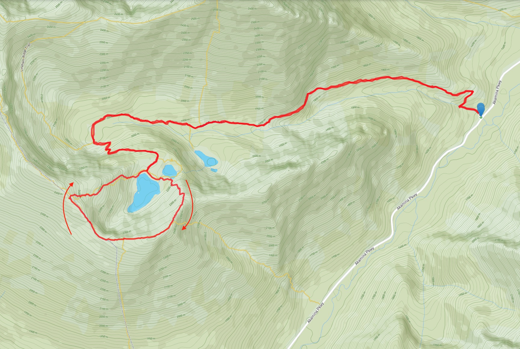
- Distance: 16 km round-trip
- Total Ascent: 918 m
- Elevation of Objective: 2466 m
- Total Time: 5h 6m
- Safety and Disclaimer
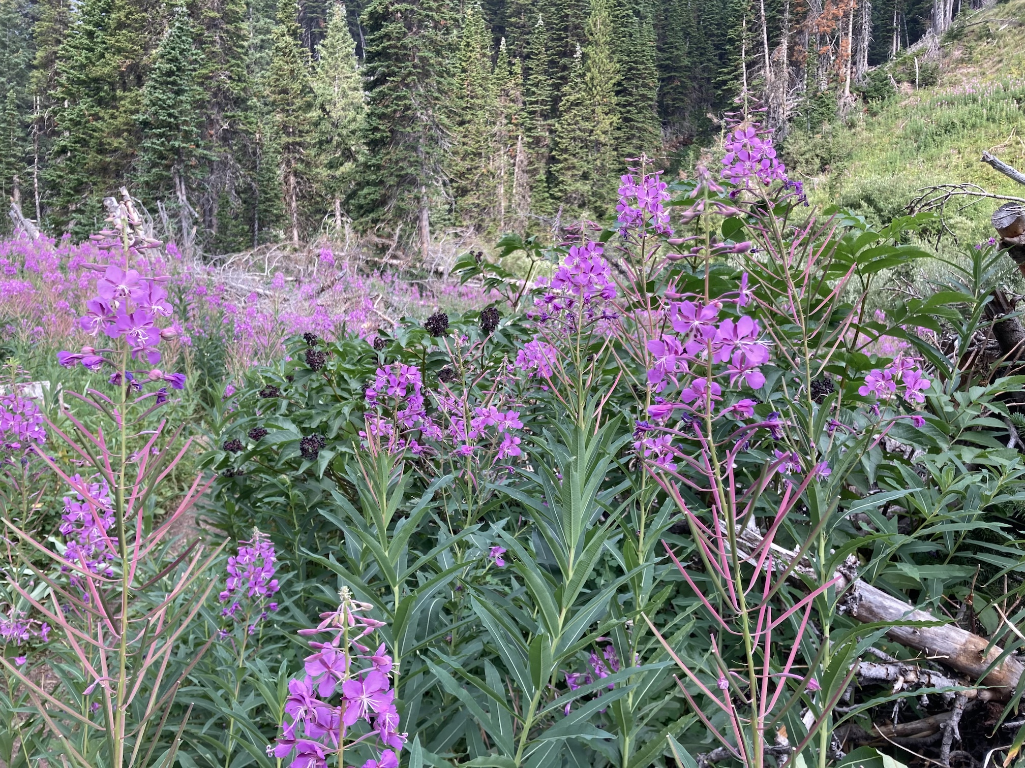
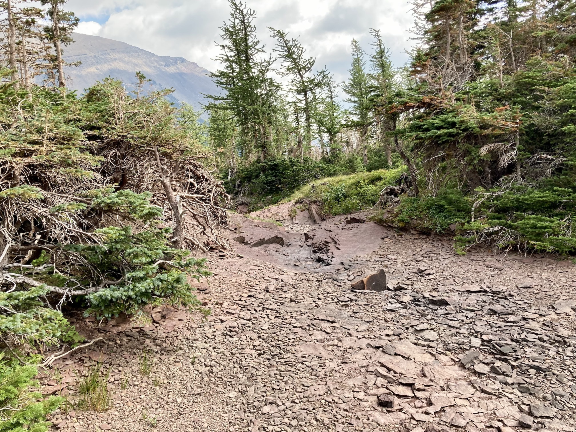
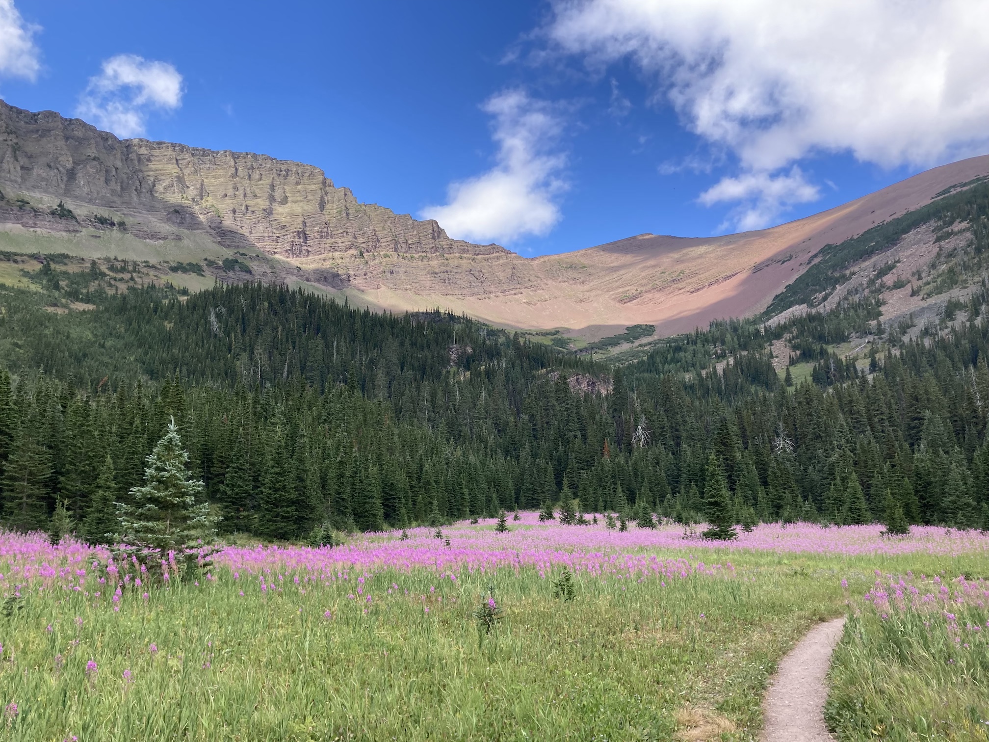
As the smoky summer of 2021 enters August I’m a little sceptical that we’ll see clear skies again before the fall. That’s something of a disincentive for a number of scrambles which I’ve been meaning to do – I’m much less motivated to climb high if I don’t get much of a view from the top. However, Mount Rowe was an appealing objective despite the smoke. The approach via the Rowe Lakes trail goes through areas of lovely up-close scenery which would make the trip worthwhile even if the summit was surrounded by smoke. As it turned out, the air was reasonably clear on the day of my trip even though smoke and low clouds combined to limit my distant views.
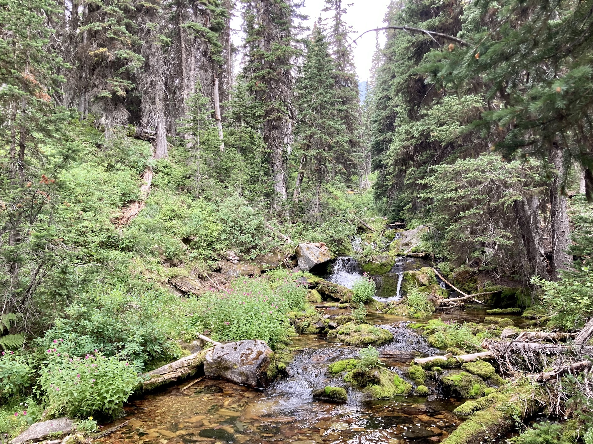
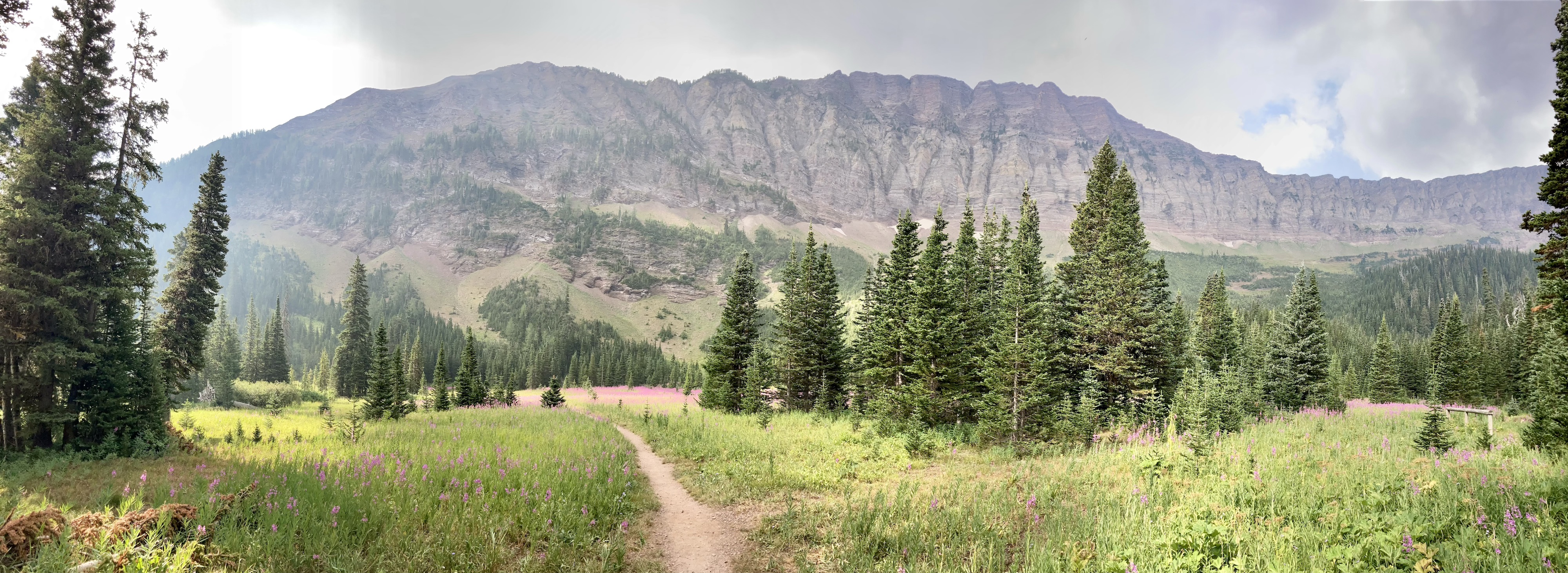
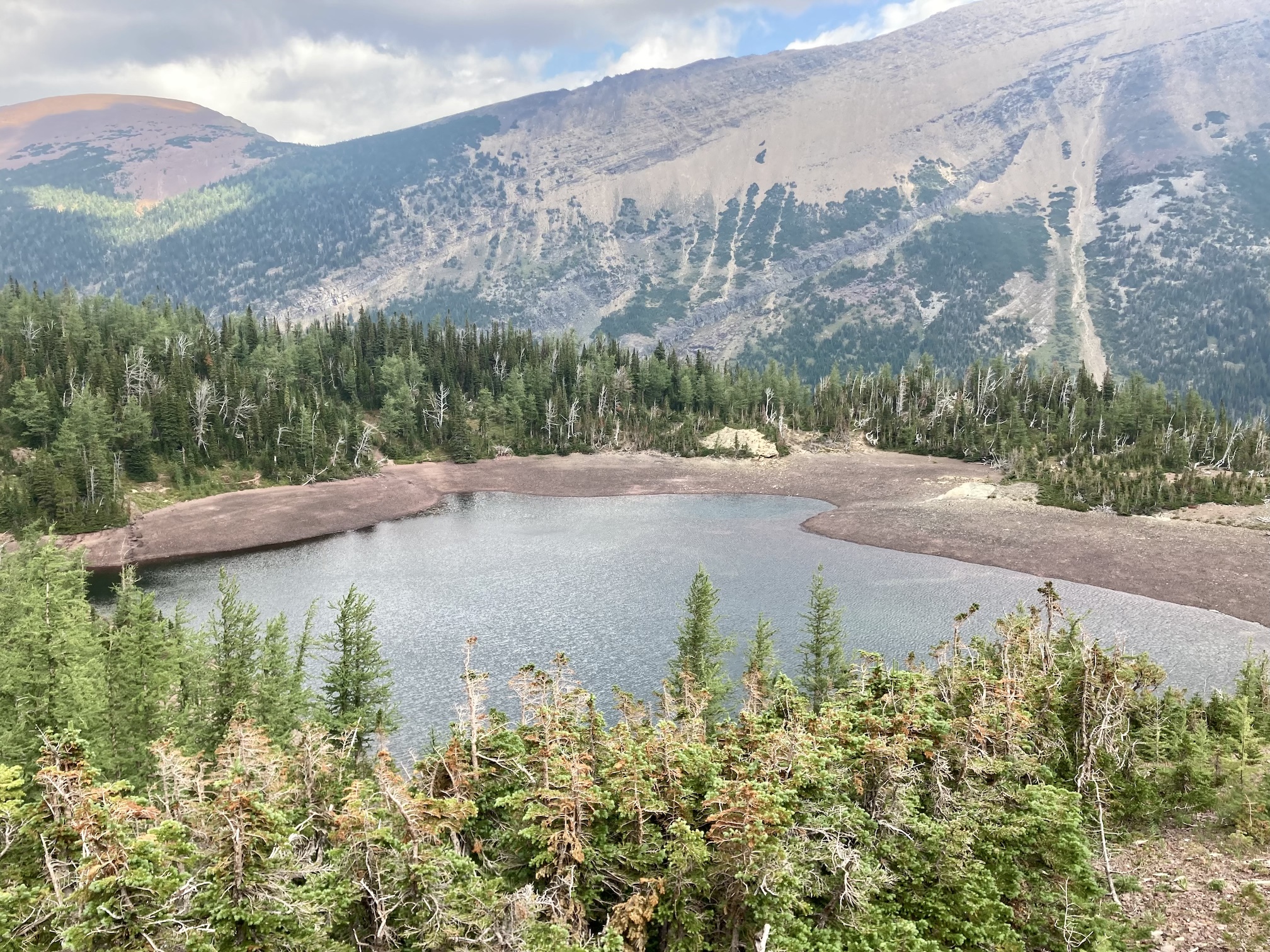
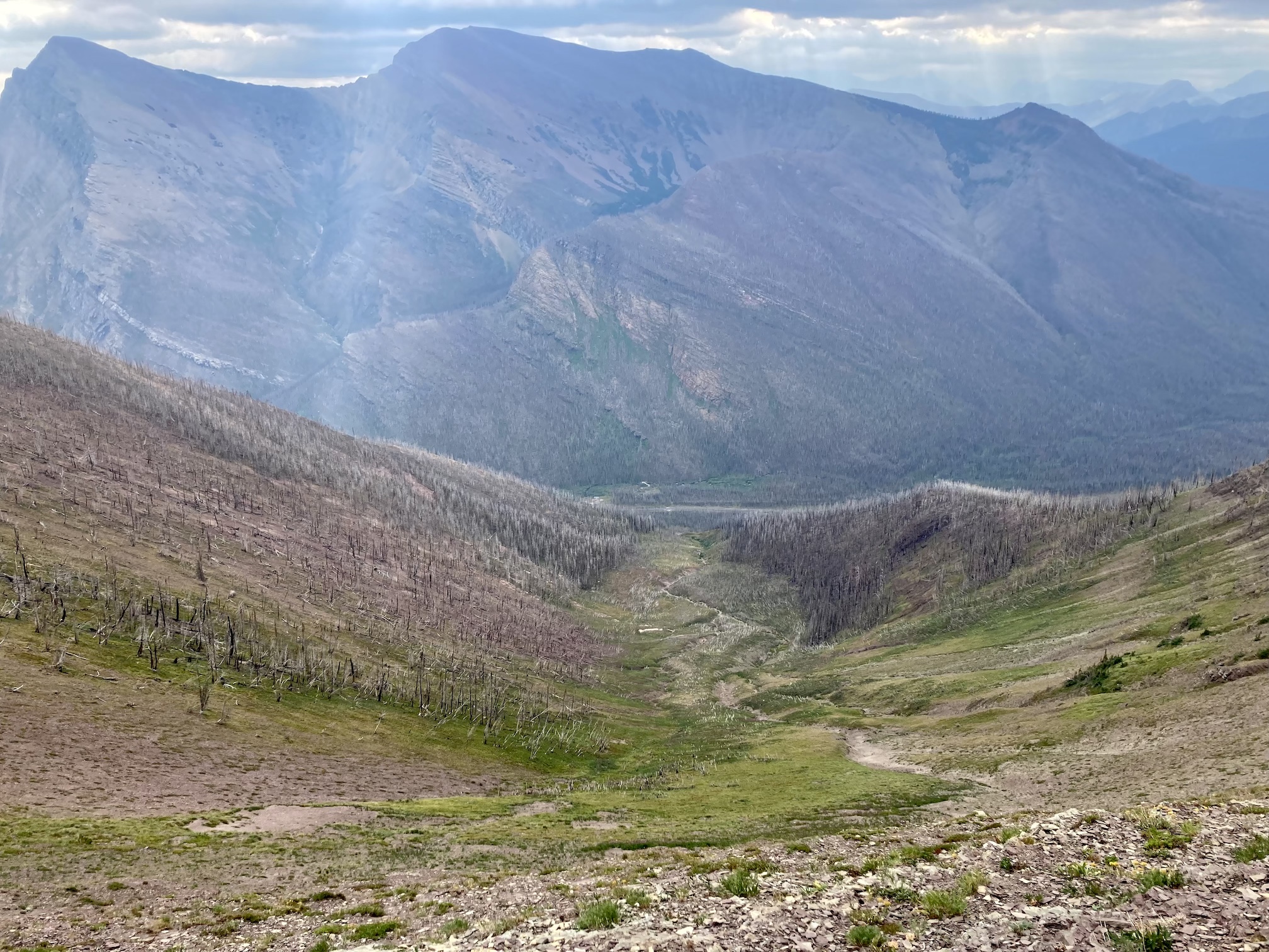
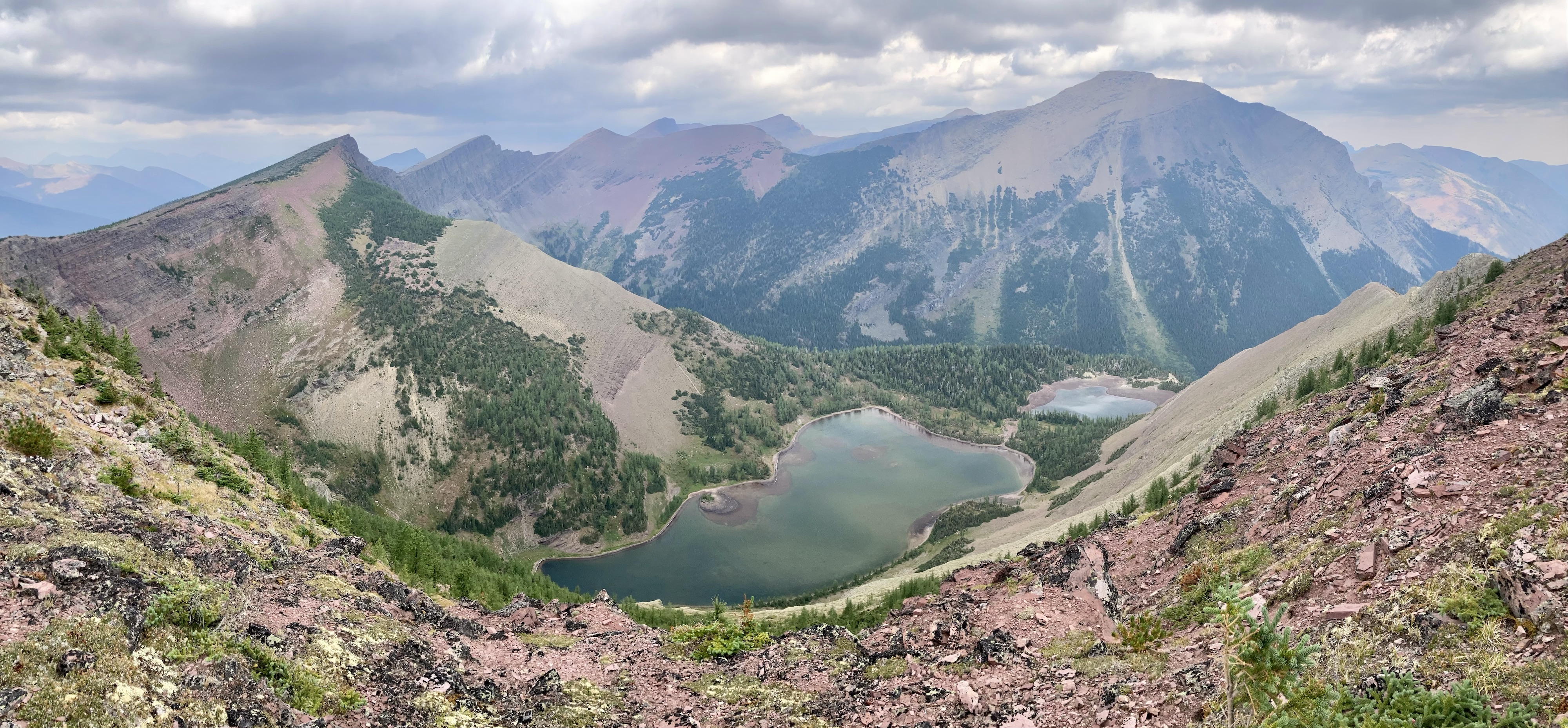
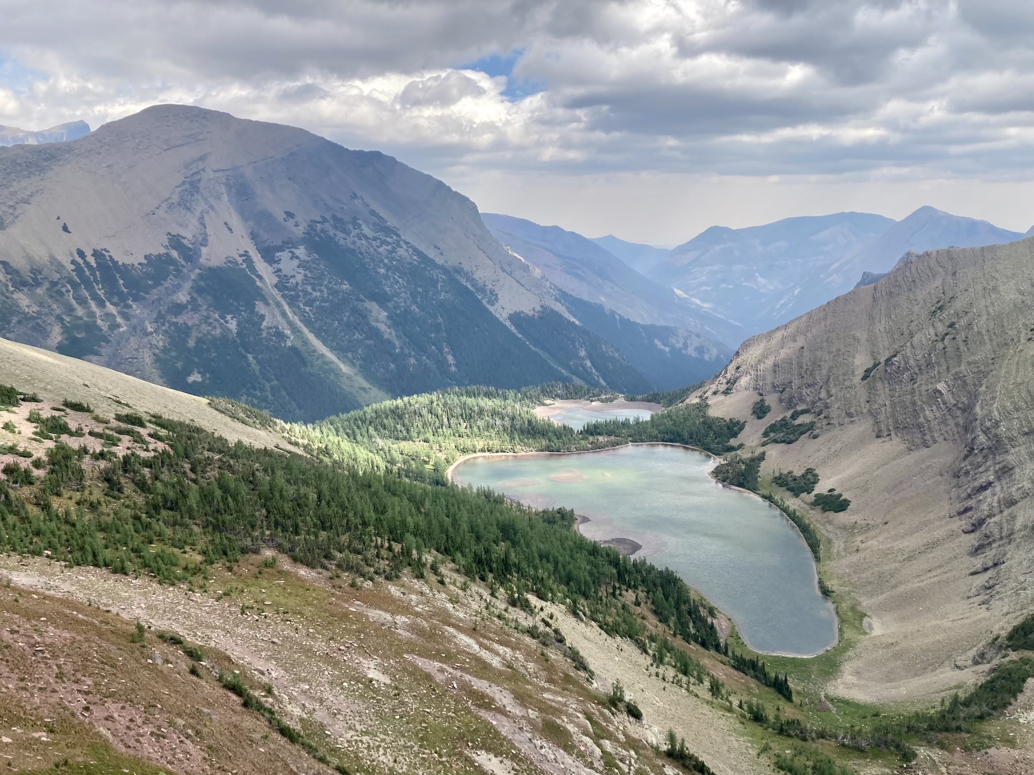
Access is from the Akamina Parkway in Waterton. The Rowe trailhead and large parking area are clearly marked about 10 km up the road from the townsite. Click here for the Google map. I followed the official trails to the Upper Rowe Lakes. Along the way I was pleased to see only the lowest reaches of the trail passed through burned forest. The valley between Mount Rowe and Mount Lineham escaped the fires in 2017. Things looked more or less the same as when I was last on the trail – you can check out the pictures here. Once at the upper lakes I had a good view of the summit.
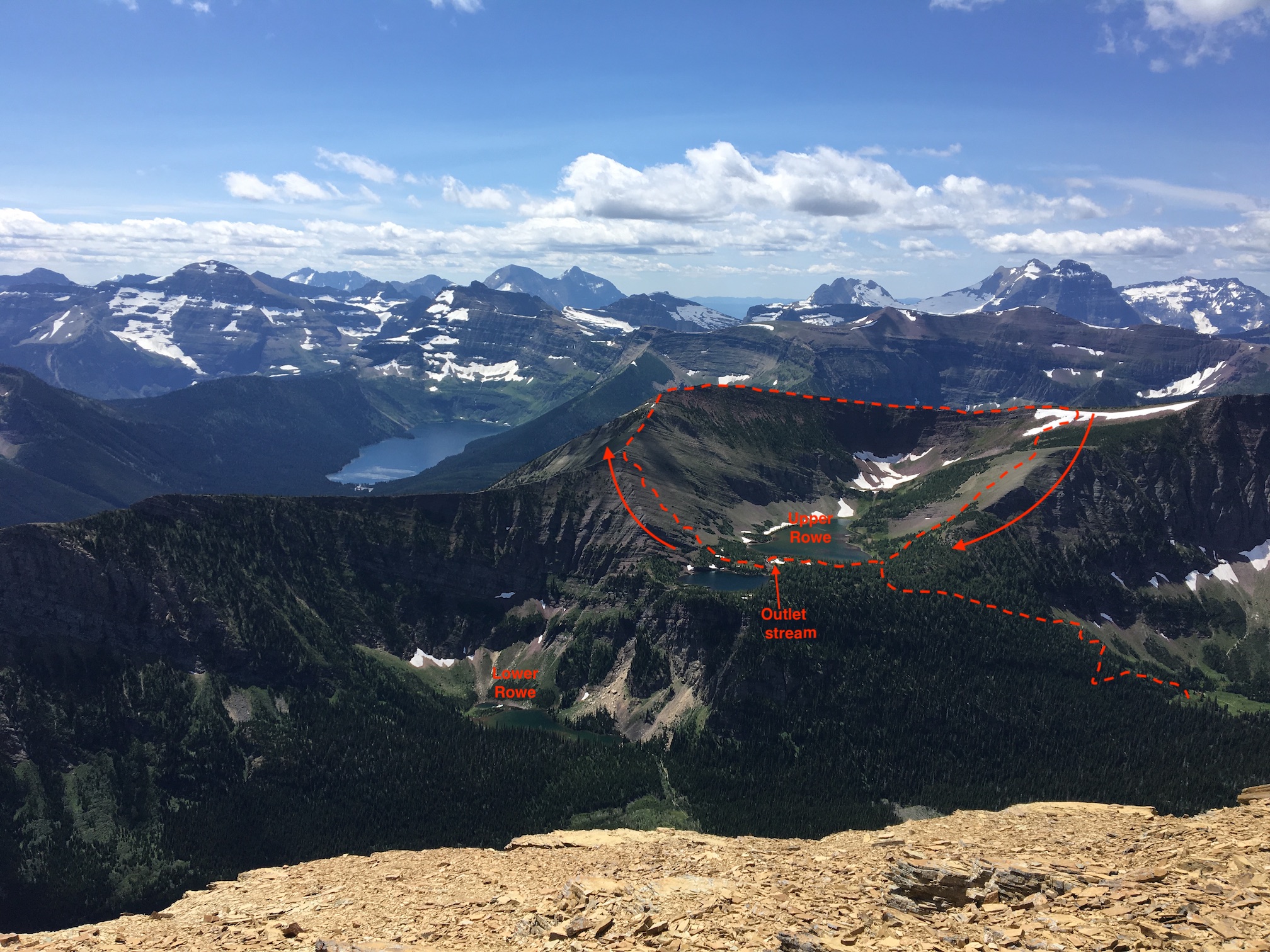
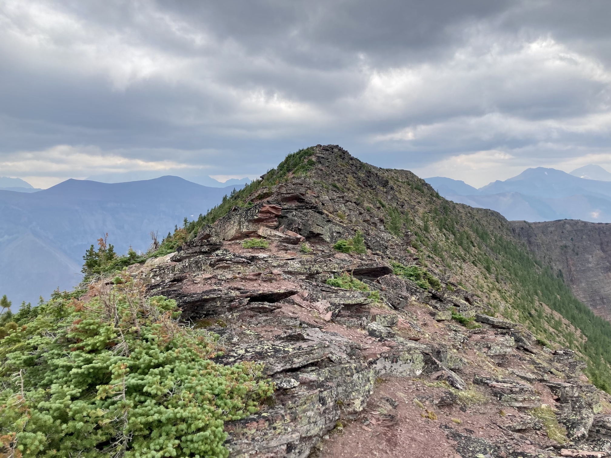
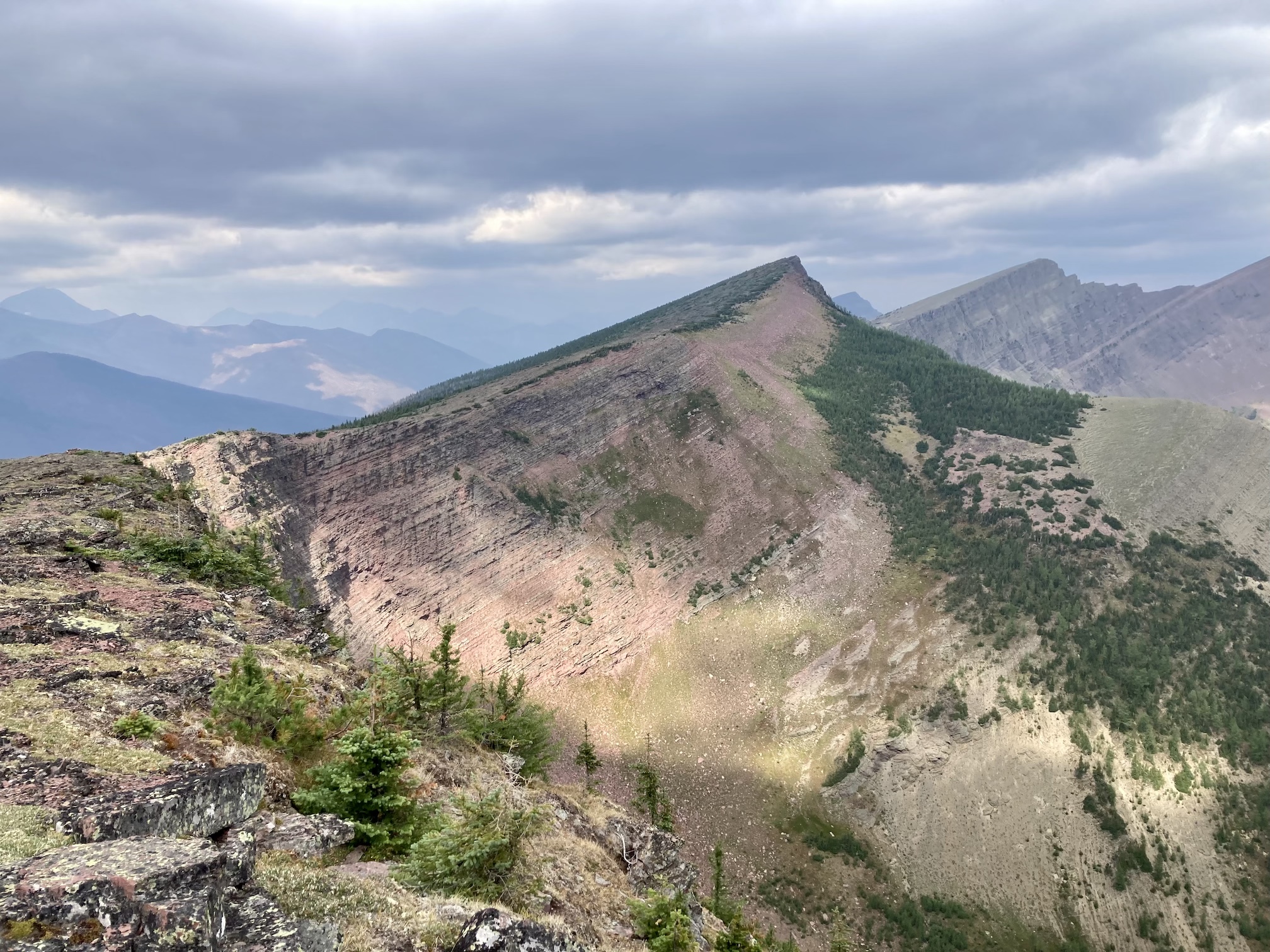
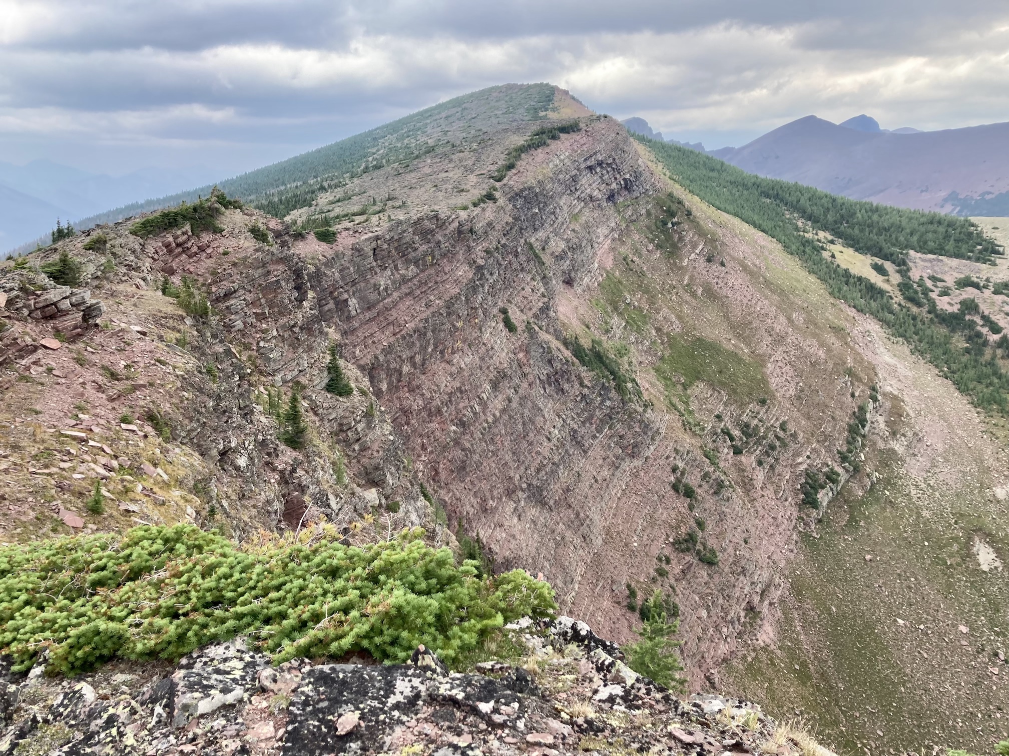
There are two ways to ascend to the summit. The easier way is to go counterclockwise around the lake and ascend the steep slope to the gentle ridge to the northwest of the summit. This involves just steep hiking and it’s best to descend the same way. The other option is the one I took – to head clockwise around the lake then head up steep slopes to reach the northeast ridge, following it up to the summit then descending by the easier route.
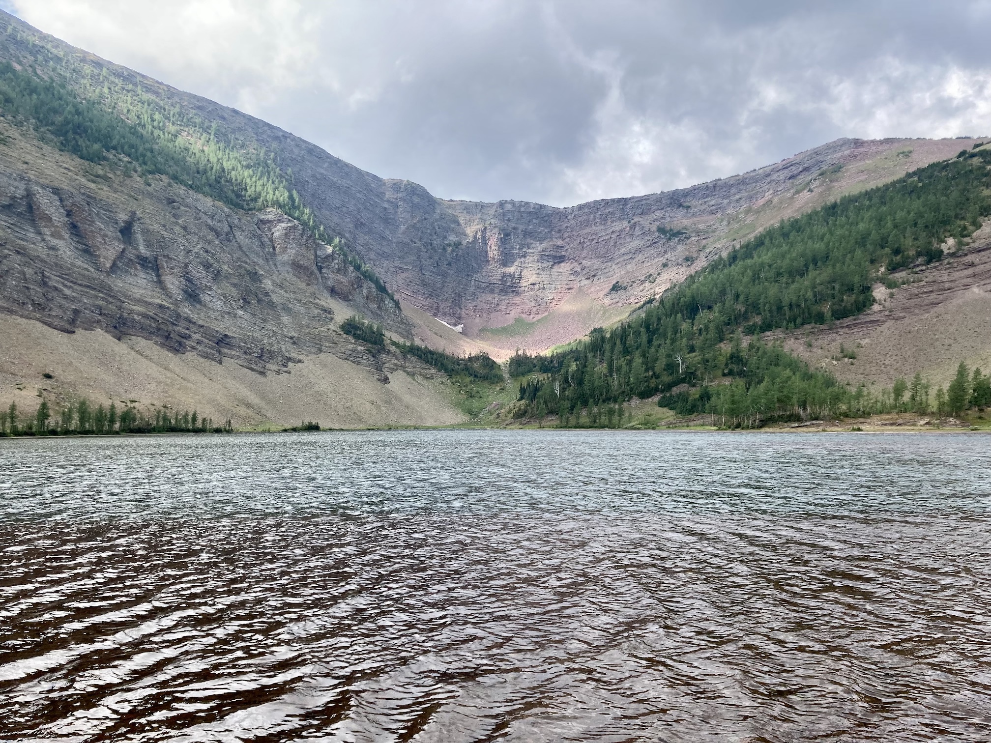
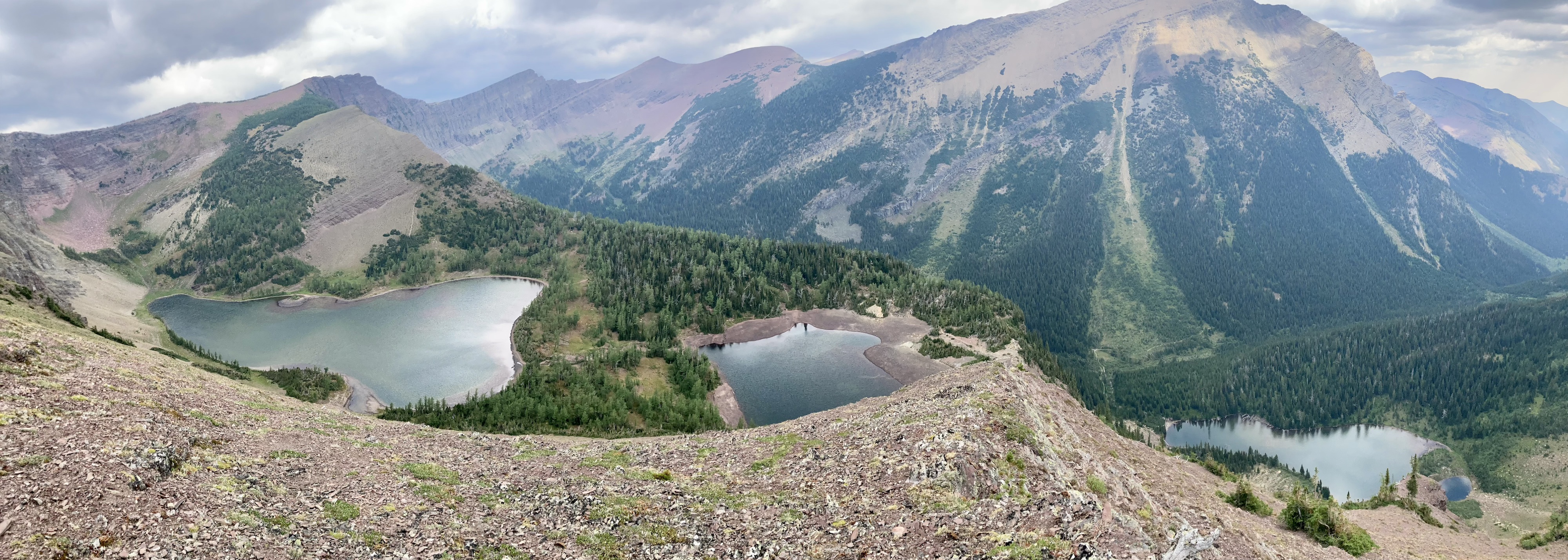
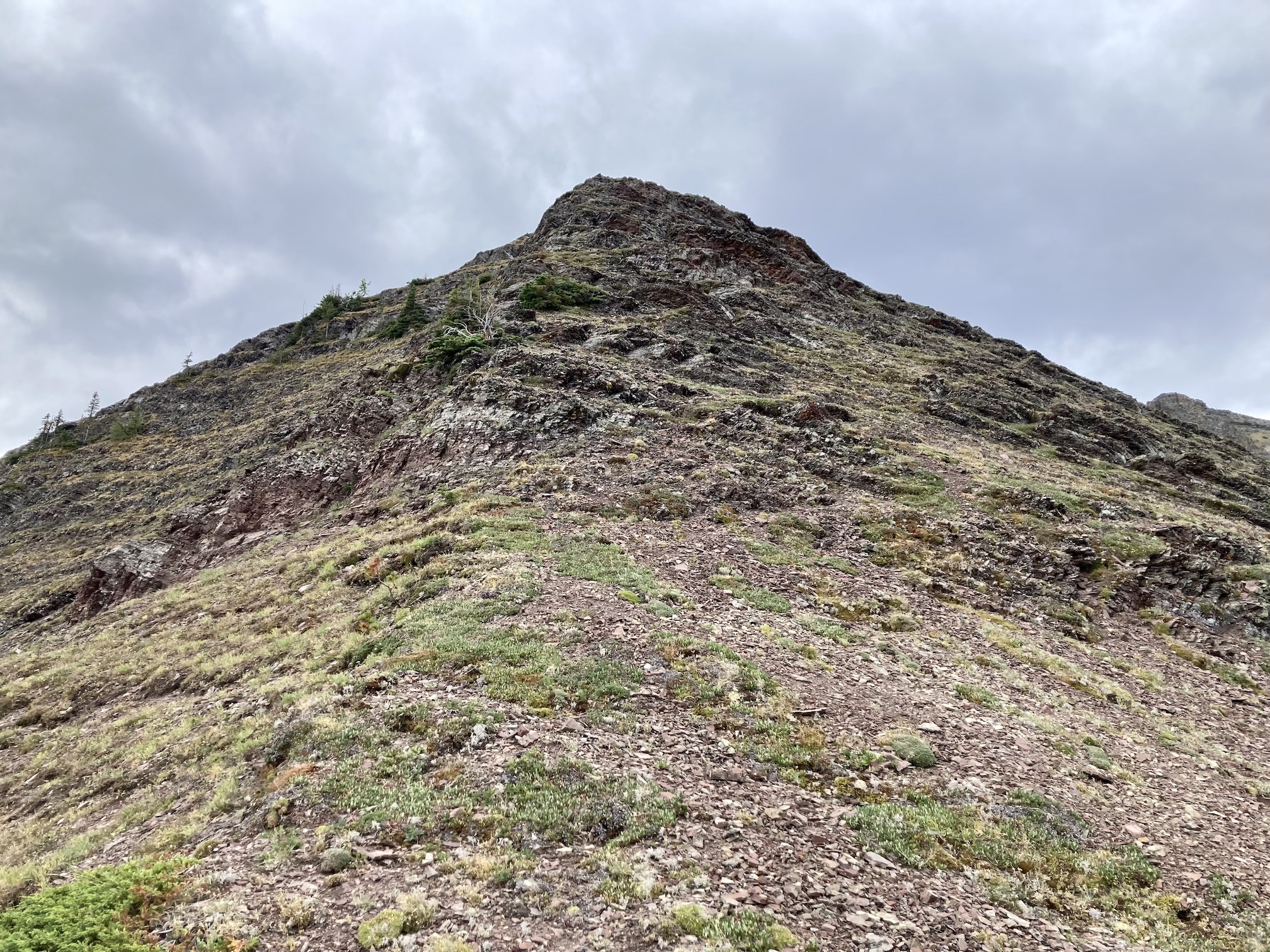
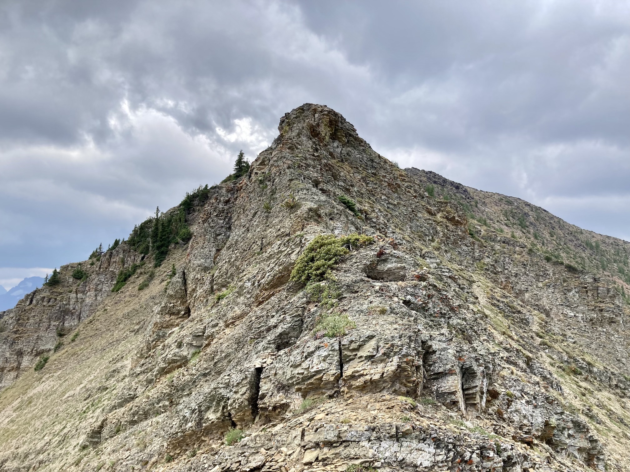
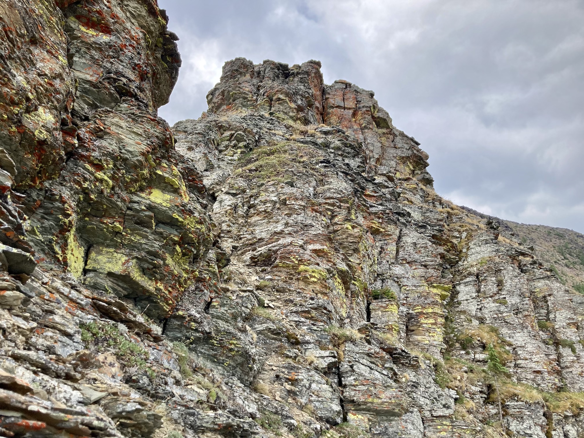
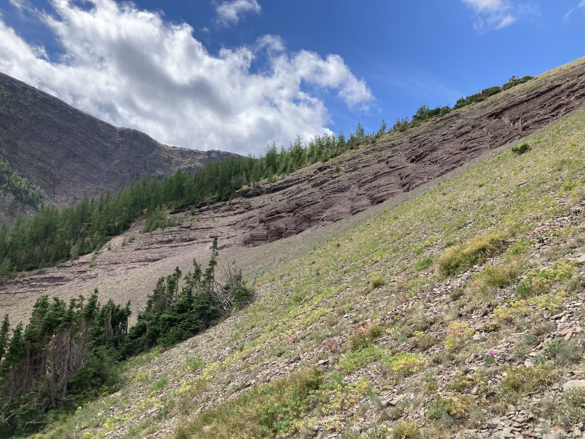
Finding my way up wasn’t hard. The only landmark to watch for on the ascent was the outlet stream at the northeast shore of the higher of the two Upper Rowe Lakes. I crossed over it then followed it until I could see a reasonably clear way to the steep slopes below the ridge. After a bit of zig-zagging I was on the ridge looking at a striking panorama encompassing all three of the Rowe Lakes. Following the ridge up from there wasn’t difficult. The scrambling was quite limited, but fun. There is a bit of exposure but even in a very stiff wind I didn’t feel unsafe. It took about 2h 45m to reach the summit and because of the wind I didn’t stay there long.
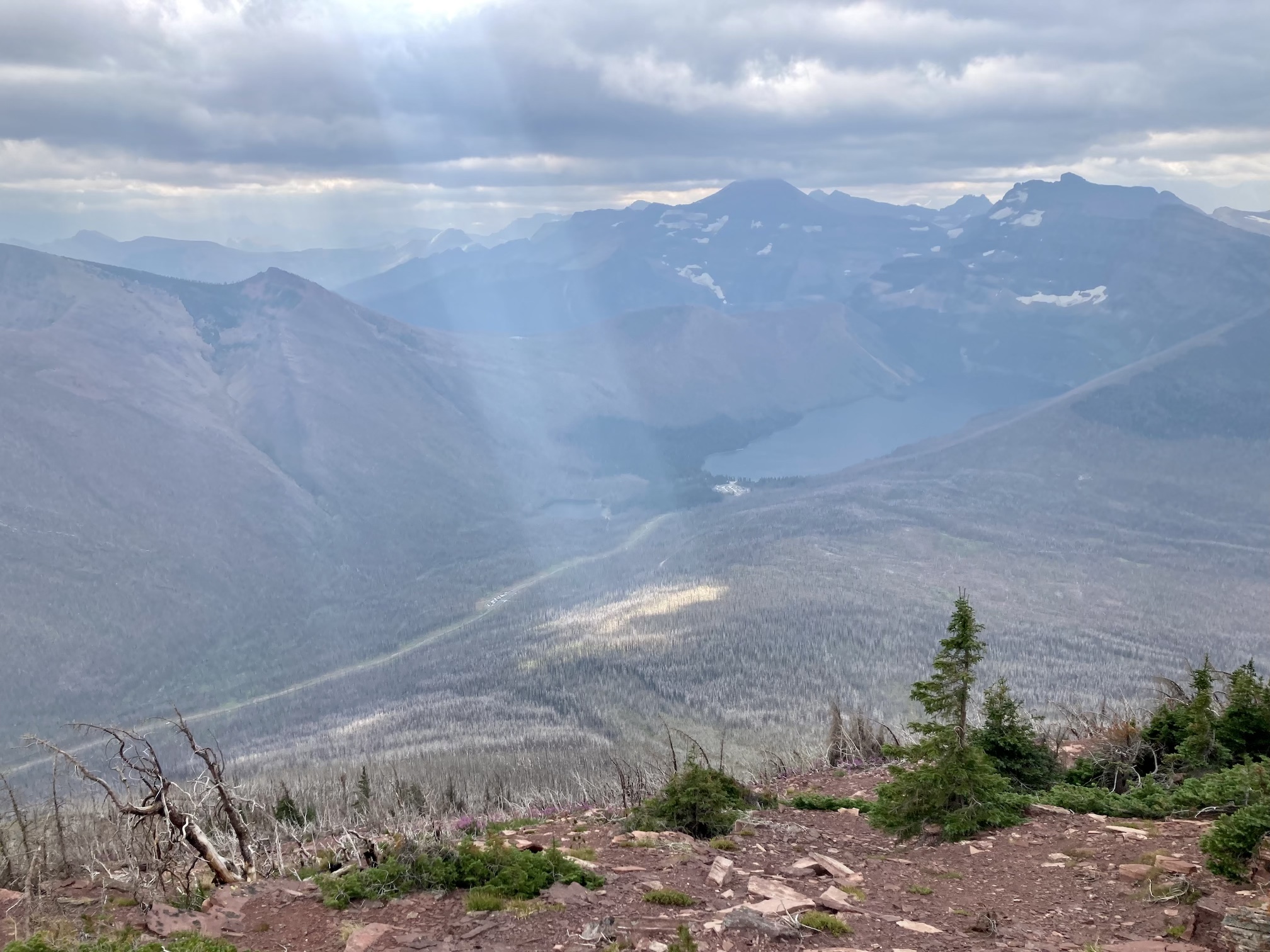
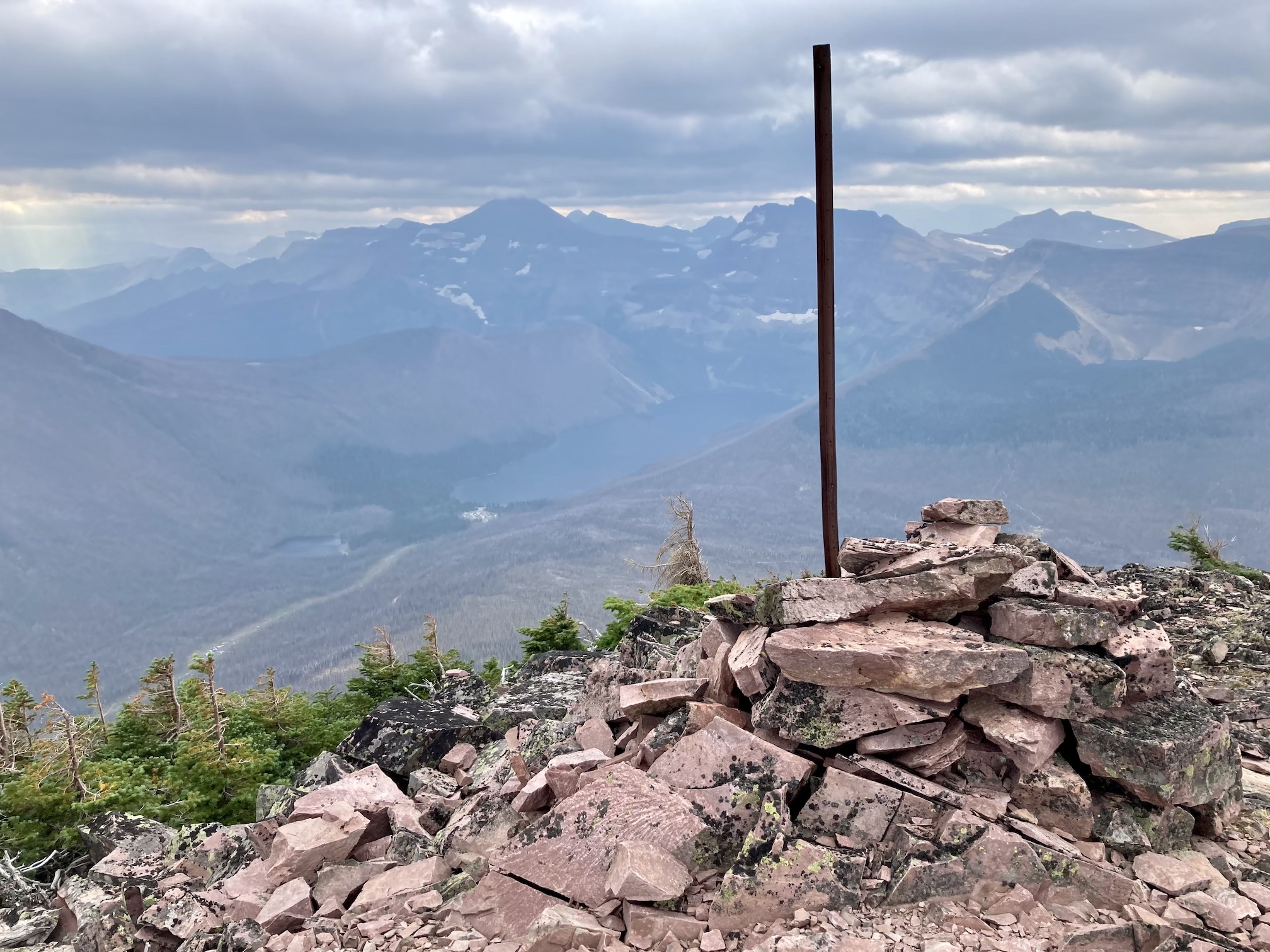
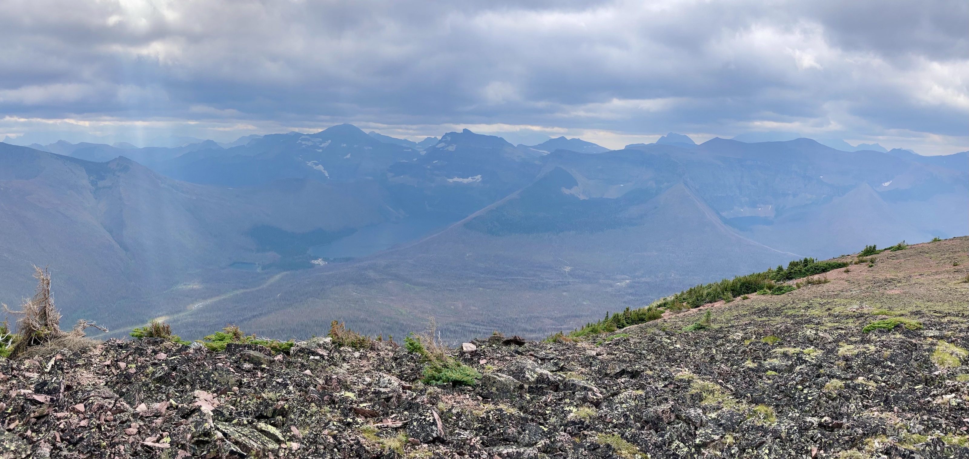
The weather was blustery and thick clouds combined with smoke to make the summit views to the west and south rather gloomy. Things were more clear north and east and I was pleased to see clear blue sky after a month of perpetual smoke. The views from the top include the environs of the Rowe Lakes as well as Cameron Lake and Akamina Pass (including Wall and Forum Lakes). Views into Glacier National Park are a little limited by Mount Rowe’s relatively low summit elevation, but I think they’d still be quite striking on a clear day.
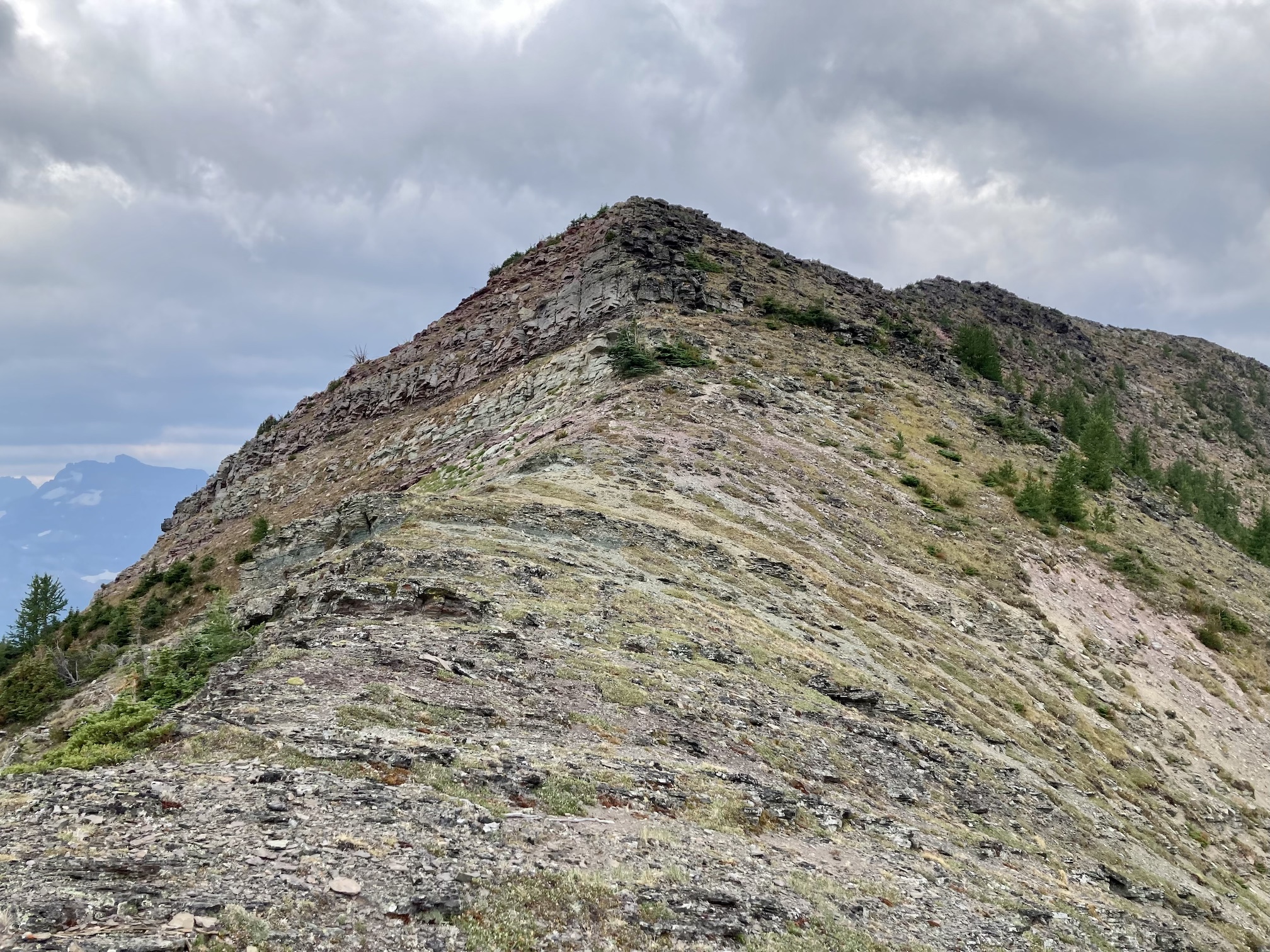
I carried on clockwise and descended along the easy ascent route. Once off the summit ridge I passed through a little larch forest and descended to the lake. On the final part of the descent I made sure to angle my path towards the north shore of the lake (where the official trail arrives) to avoid some rock bands that aren’t visible from above.
Click on the pictures in the gallery below to access full resolution images. You can also check out this recent video from the same route posted by All Stone Adventures over on YouTube.


3 thoughts on “Mount Rowe (via Northeast Ridge)”