January 29, 2021. A snowshoe trip to Waterton’s famous Cameron Lake via “Dipper” trail with some off-trail exploration.
- Region: Waterton Lakes National Park, Traditional Territory of the Blackfoot, Tsuu T’ina, and Ktunaxa First Nations
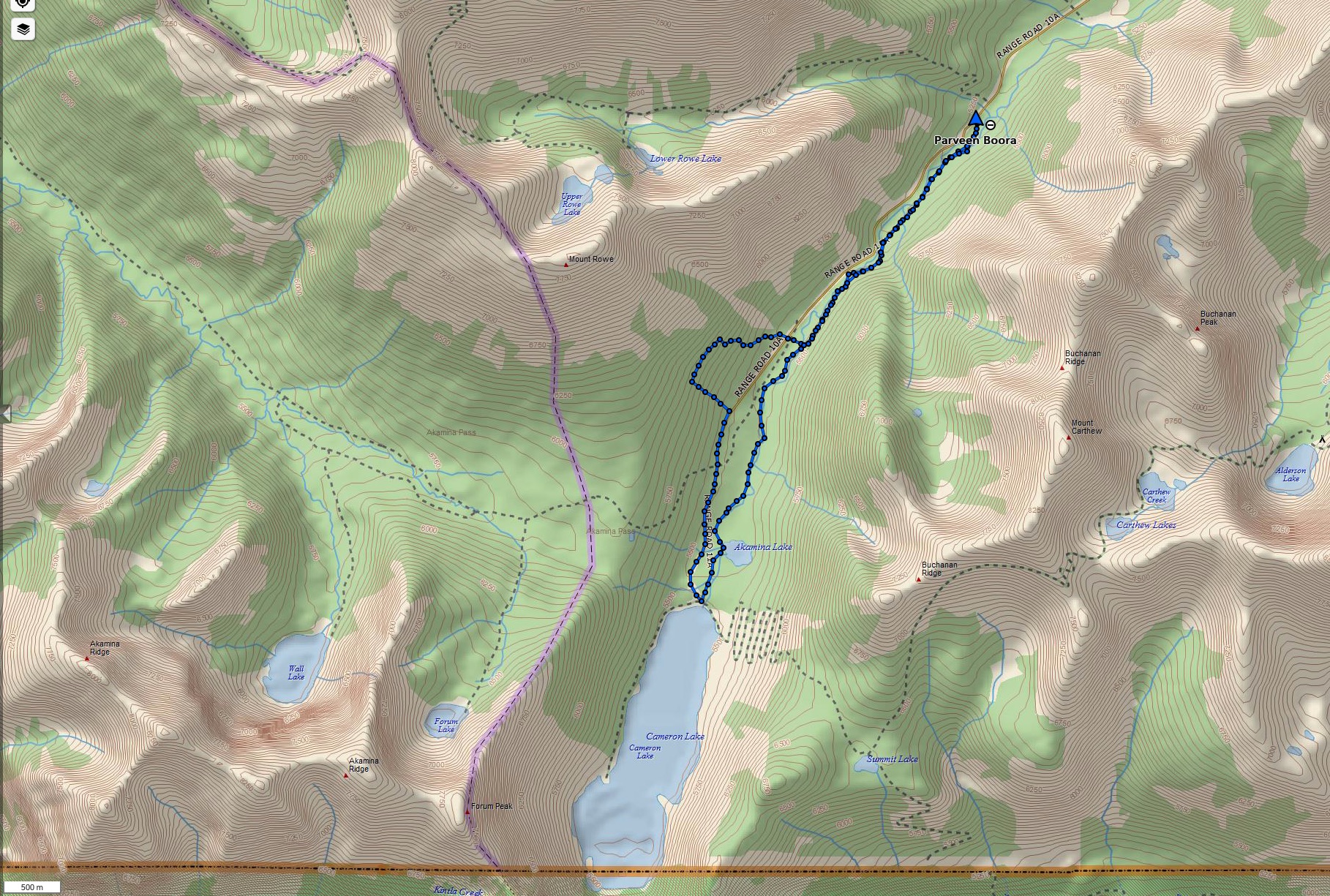
- Distance: 12 km round-trip
- Total Ascent: 210 m
- Elevation of Objective: 1660 m
- Total Time: 3h 52m
- Safety and Disclaimer
Note that taking the direct route on Dipper to Cameron Lake would involve less than 100m ascent over a 5-6 km distance.
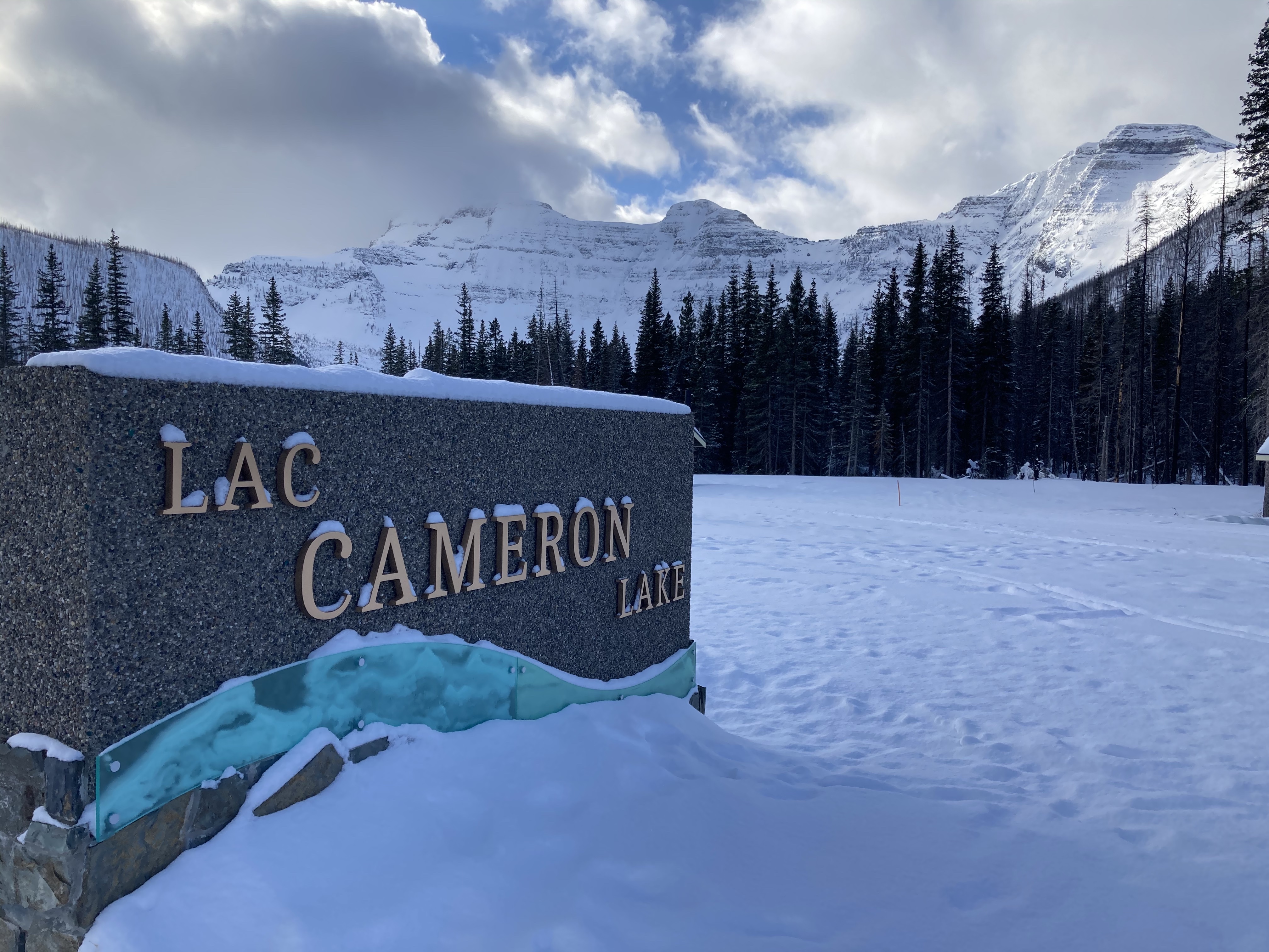
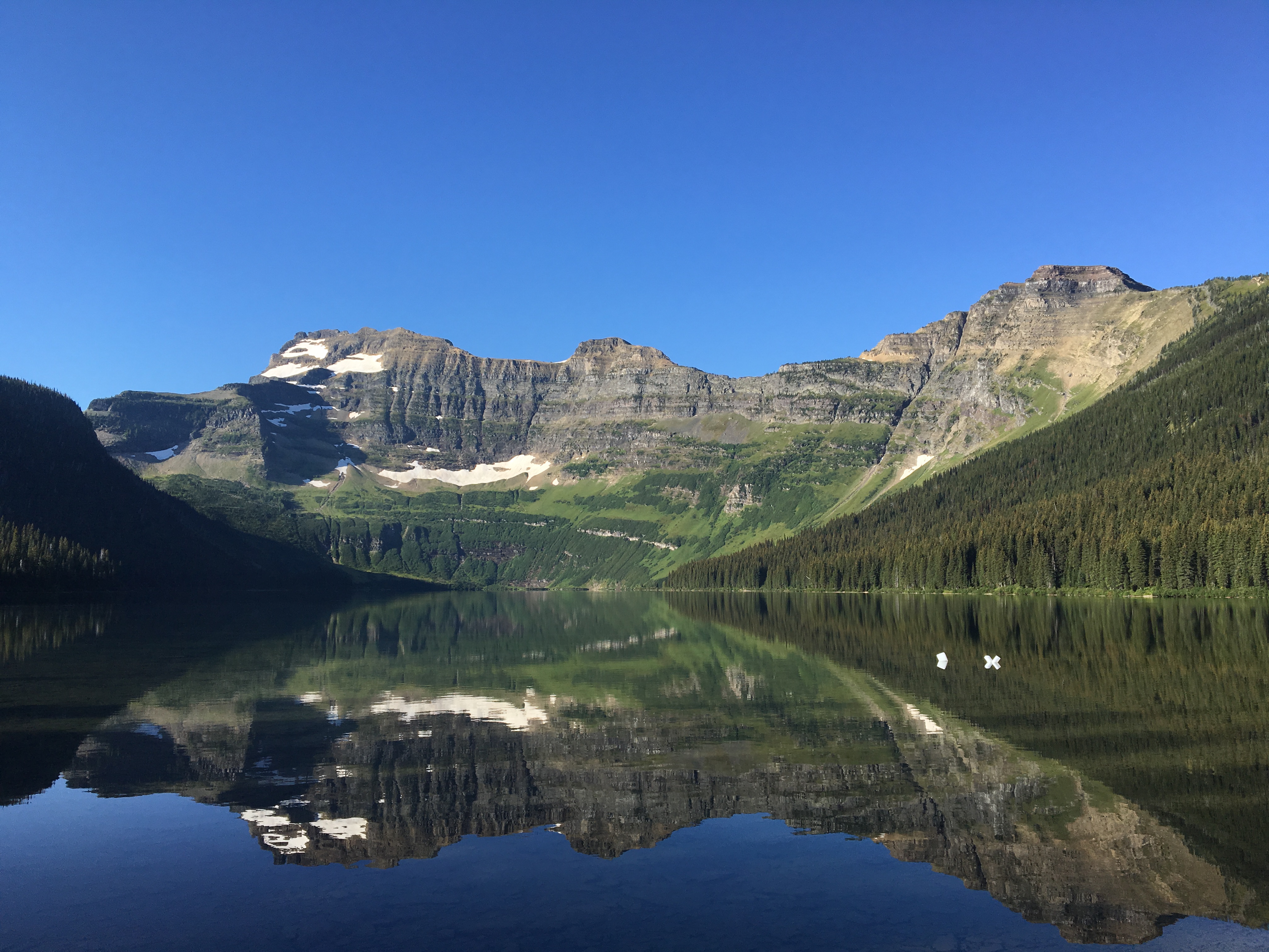
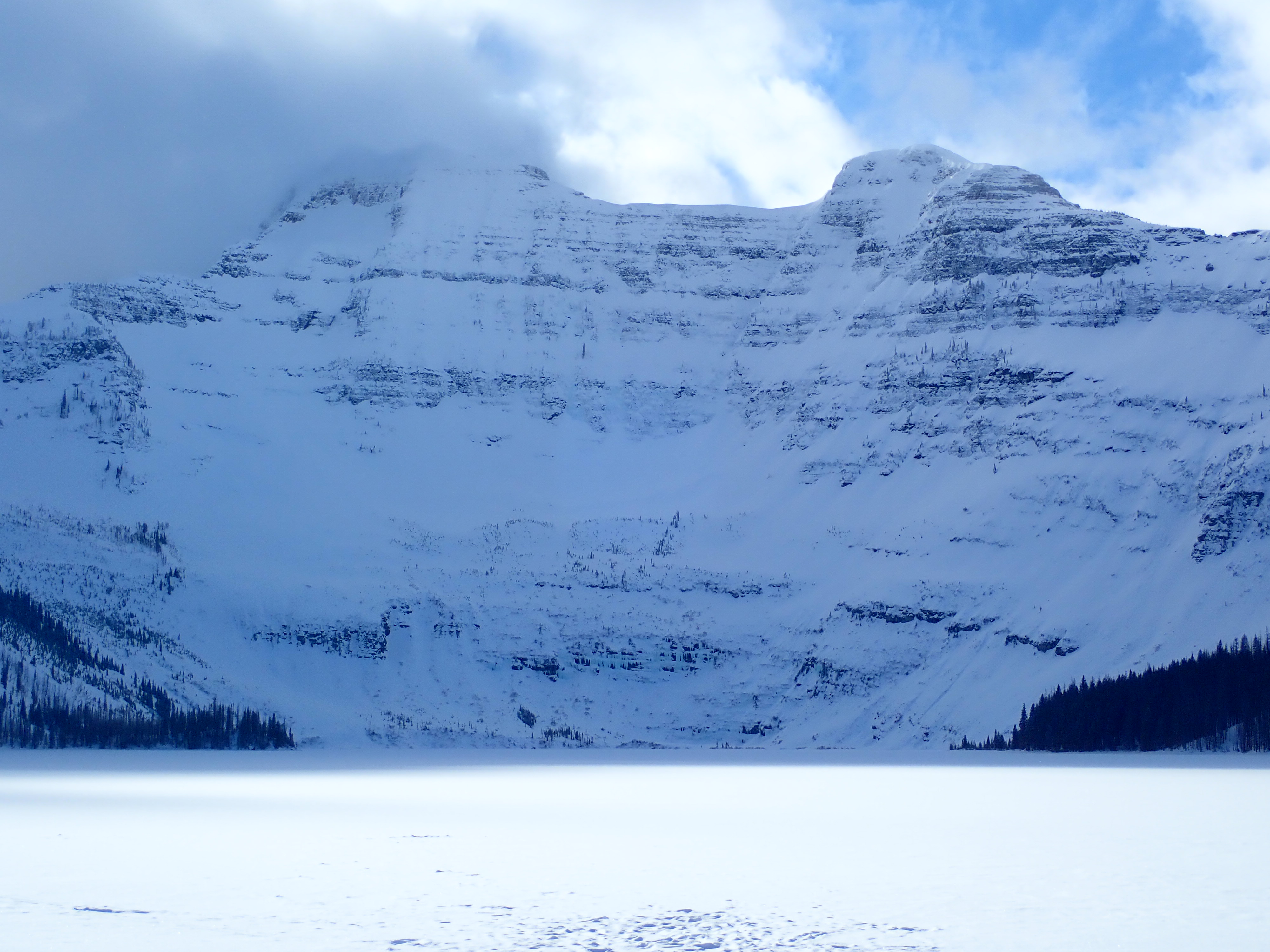
Cameron Lake is an ideal first objective for mountain snowshoeing in the southern Rockies. It was the first place I ventured to on my first pair of snowshoes several years ago. The Akamina Parkway is closed beyond the Little Prairie day use area, about 2.5 km from the lake and the road beyond is groomed for cross-country skiing with ample width for snowshoeing. There’s almost no elevation gain, the route is safe and obvious, and the payoff at the end is a large mountain lake backed by the spectacular northern cliffs of Mount Custer.
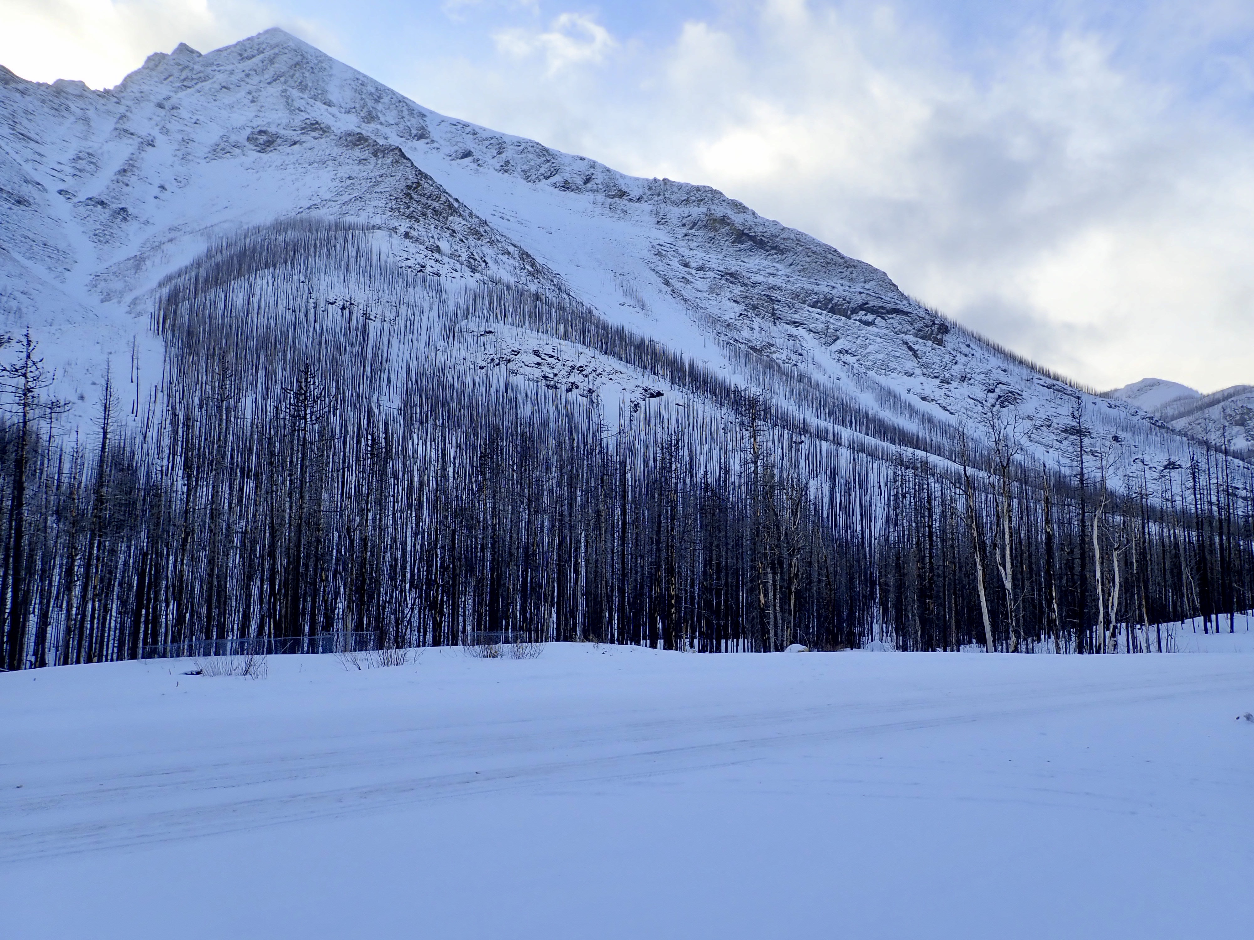
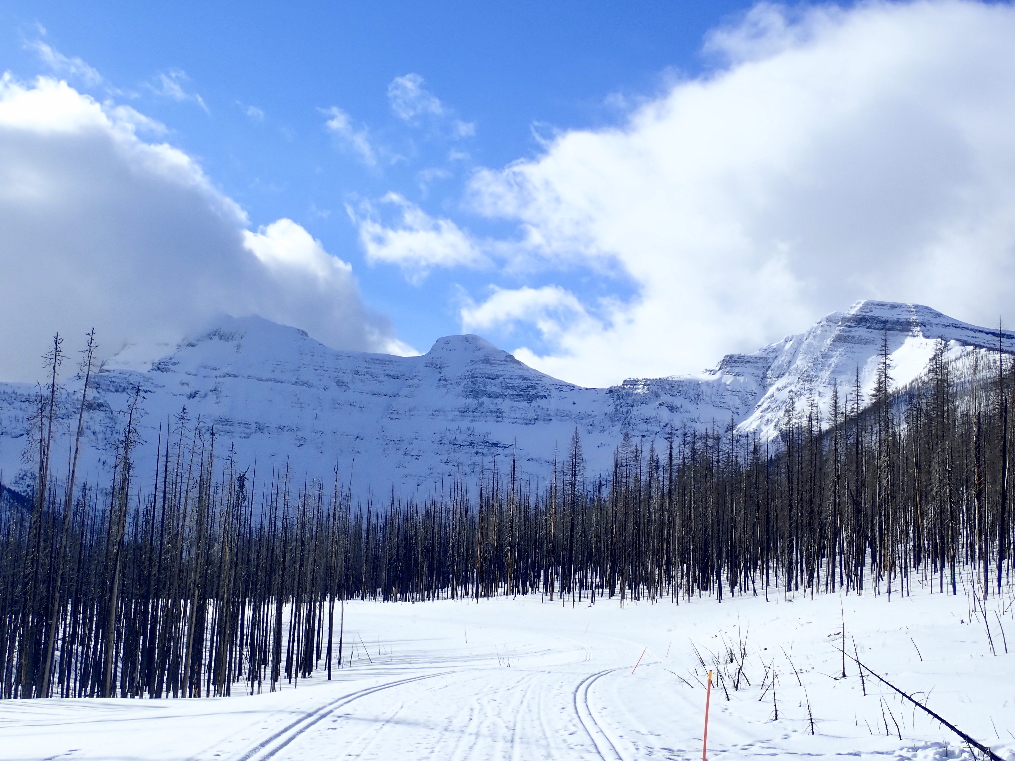
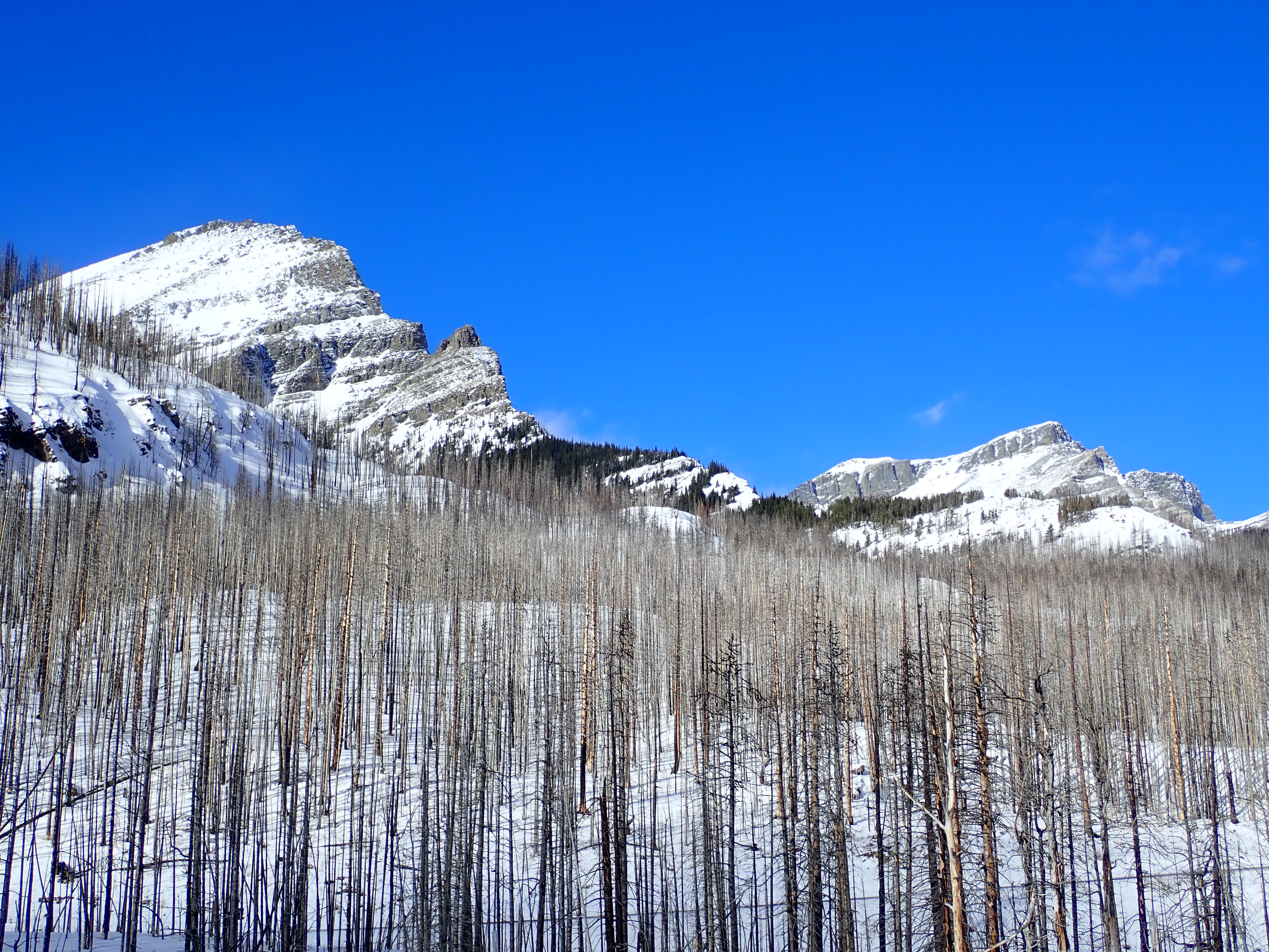
The Kenow fire of 2017 resulted in closure of the Akamina Parkway until just a few months ago. After spending a few winters exploring the Castle and Crowsnest Pass, I decided to head back to Waterton and Cameron Lake, but also took the opportunity to explore a little off the beaten path.
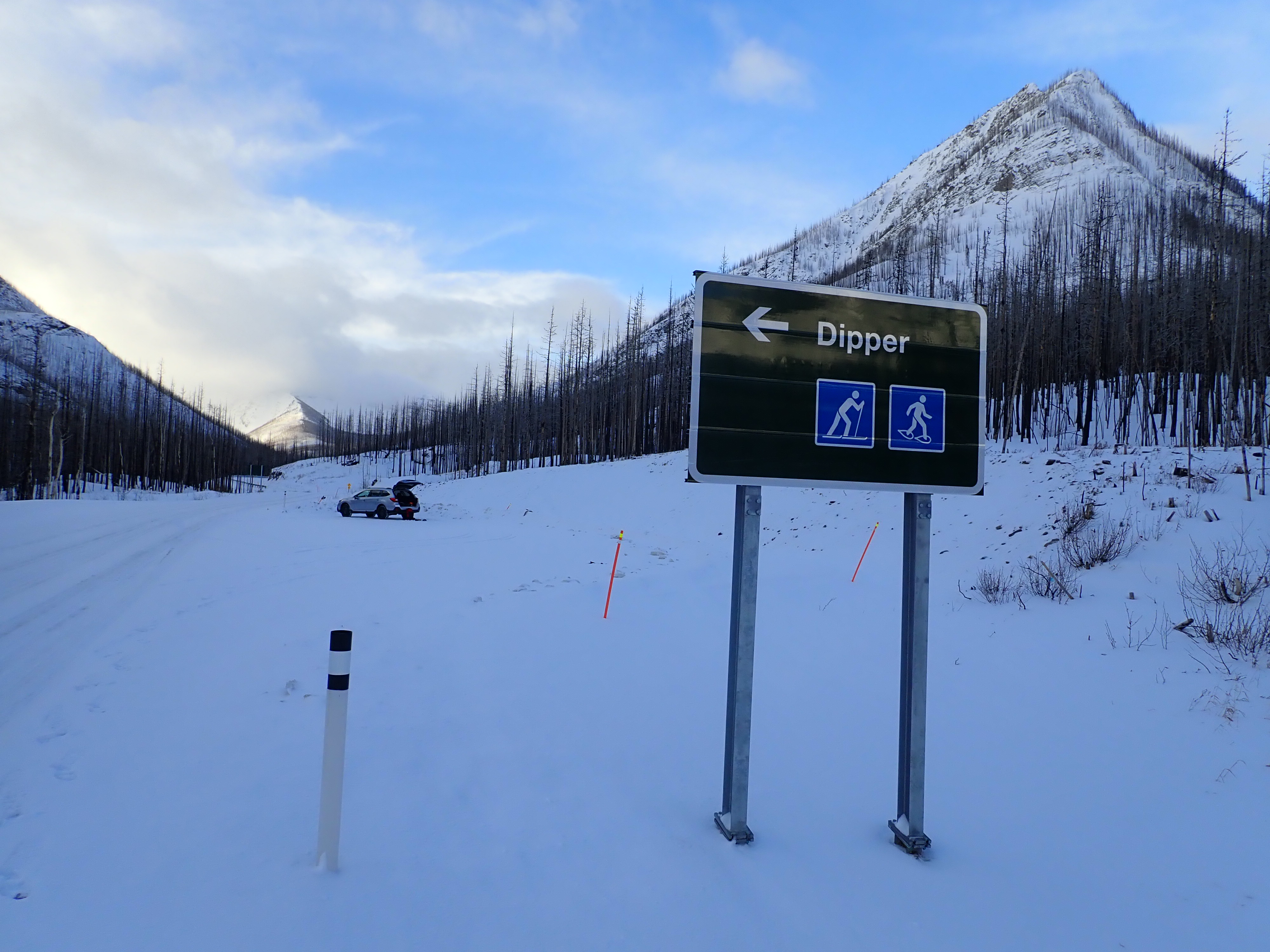
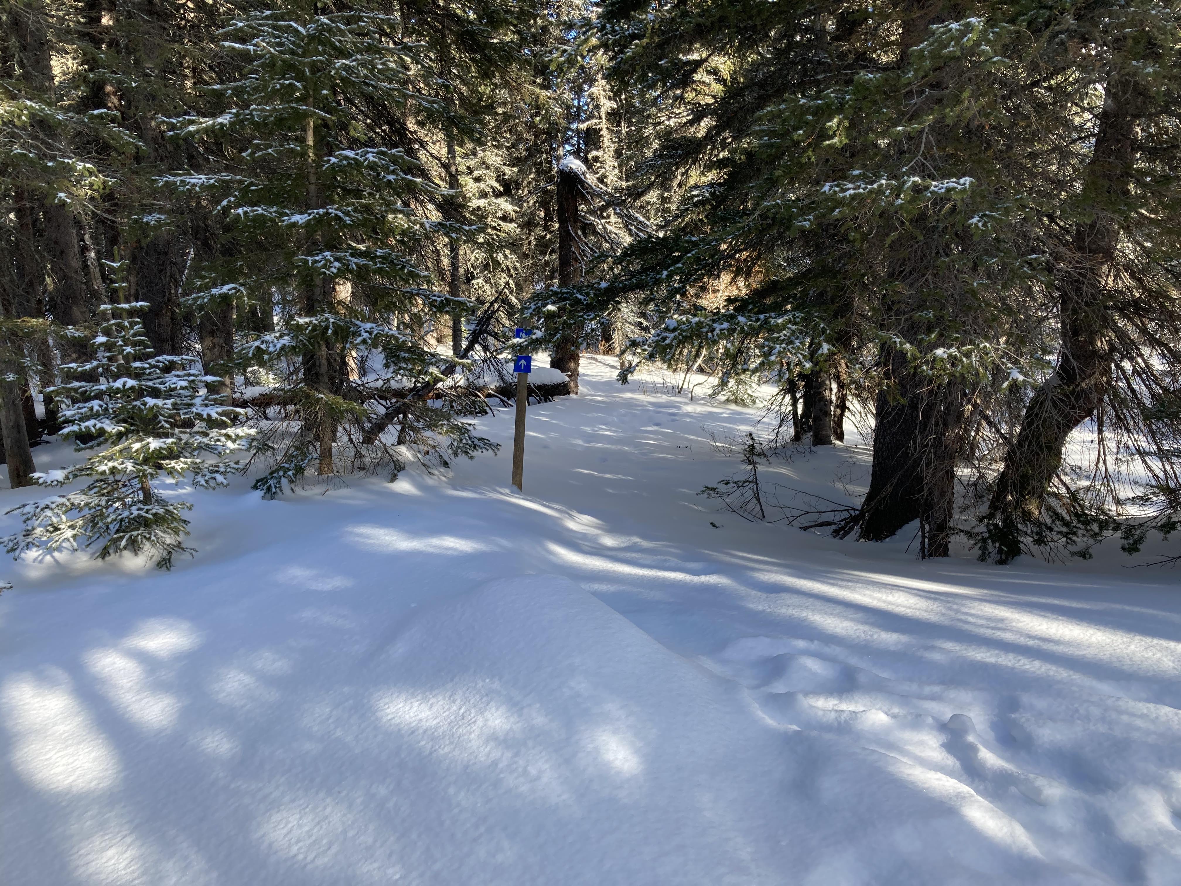
Access to this area is very easy. From the gates of Waterton Lakes National Park, follow the main road to just past the Bear’s Hump parking area (former site of the visitor information building) and take the sharp right turn onto the Akamina Parkway. You can then follow the road all the way to the closure and parking area at Little Prairie, or stop about 10.5 km up the road at the sign for Dipper, featuring skiing and snowshoeing icons. I went via Dipper. Note that the sign points to the left, but the parking area is on the right immediately beyond the sign.
From the parking area, the Dipper trail, which is official but isn’t always named on official maps, follows Cameron Creek for a 3 km span north of the road closure at Little Prairie. It then carries on for some distance south beyond Little Prairie until it crosses the road and becomes the Akamina Pass trail. However, many people stay off the trail south of Little Prairie and simply continue paralleling Cameron Creek.
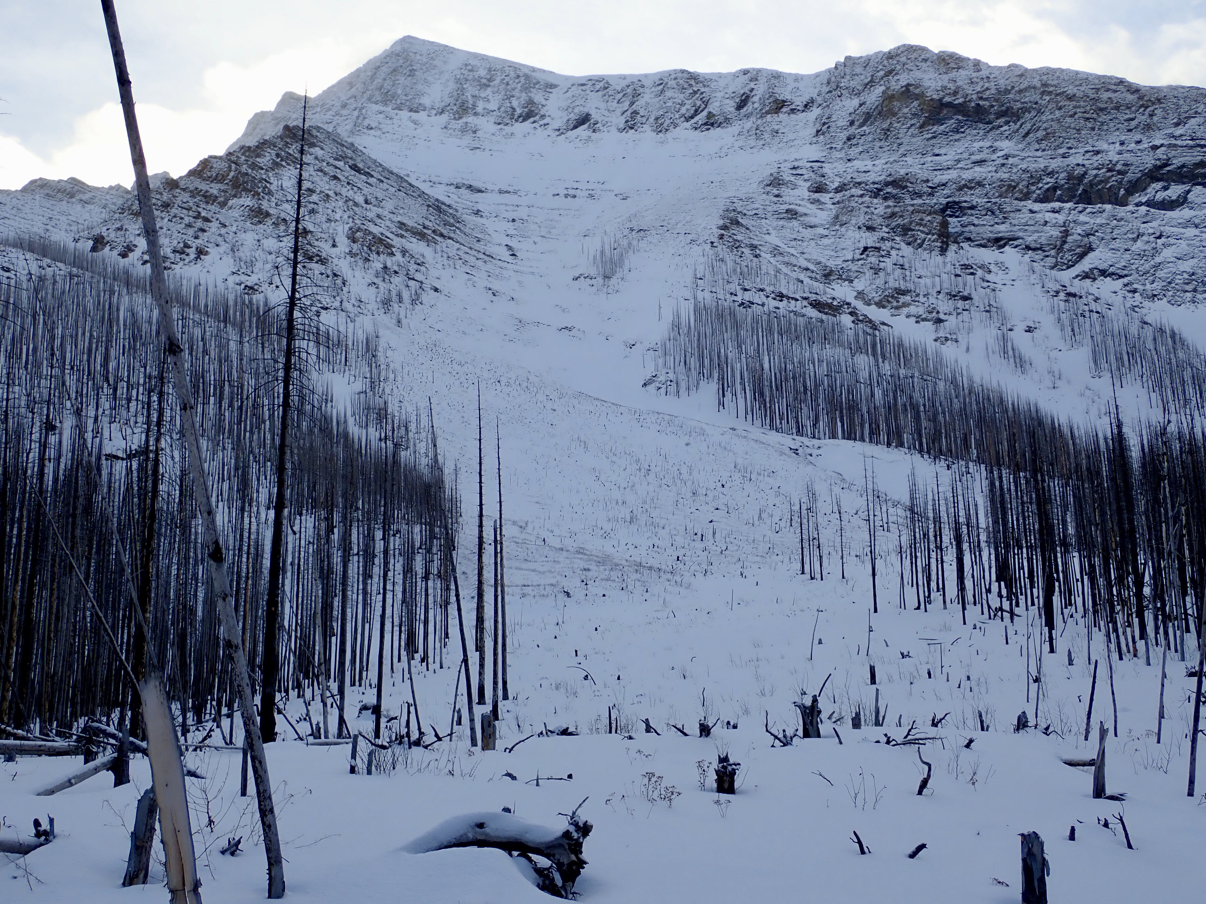
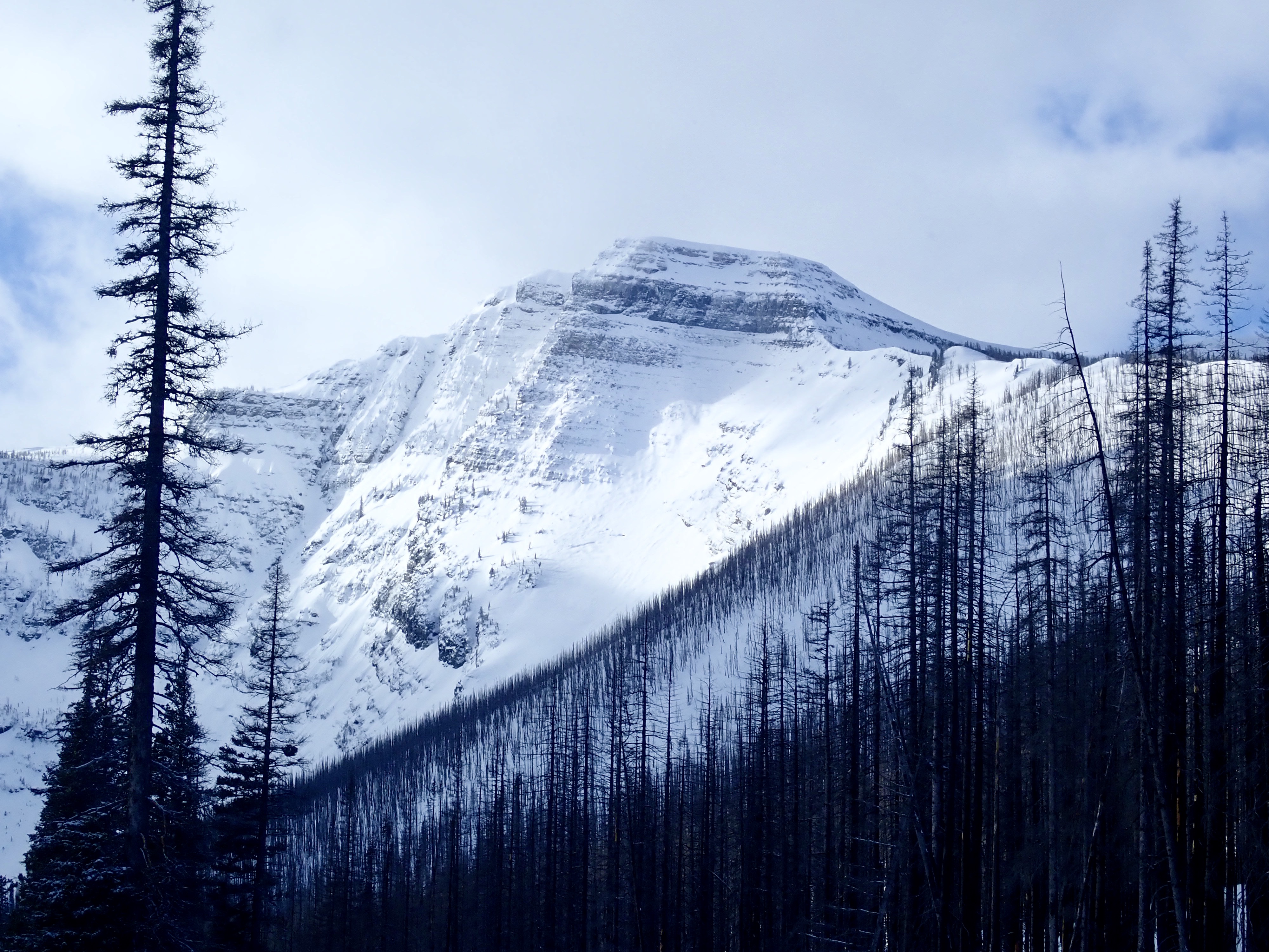
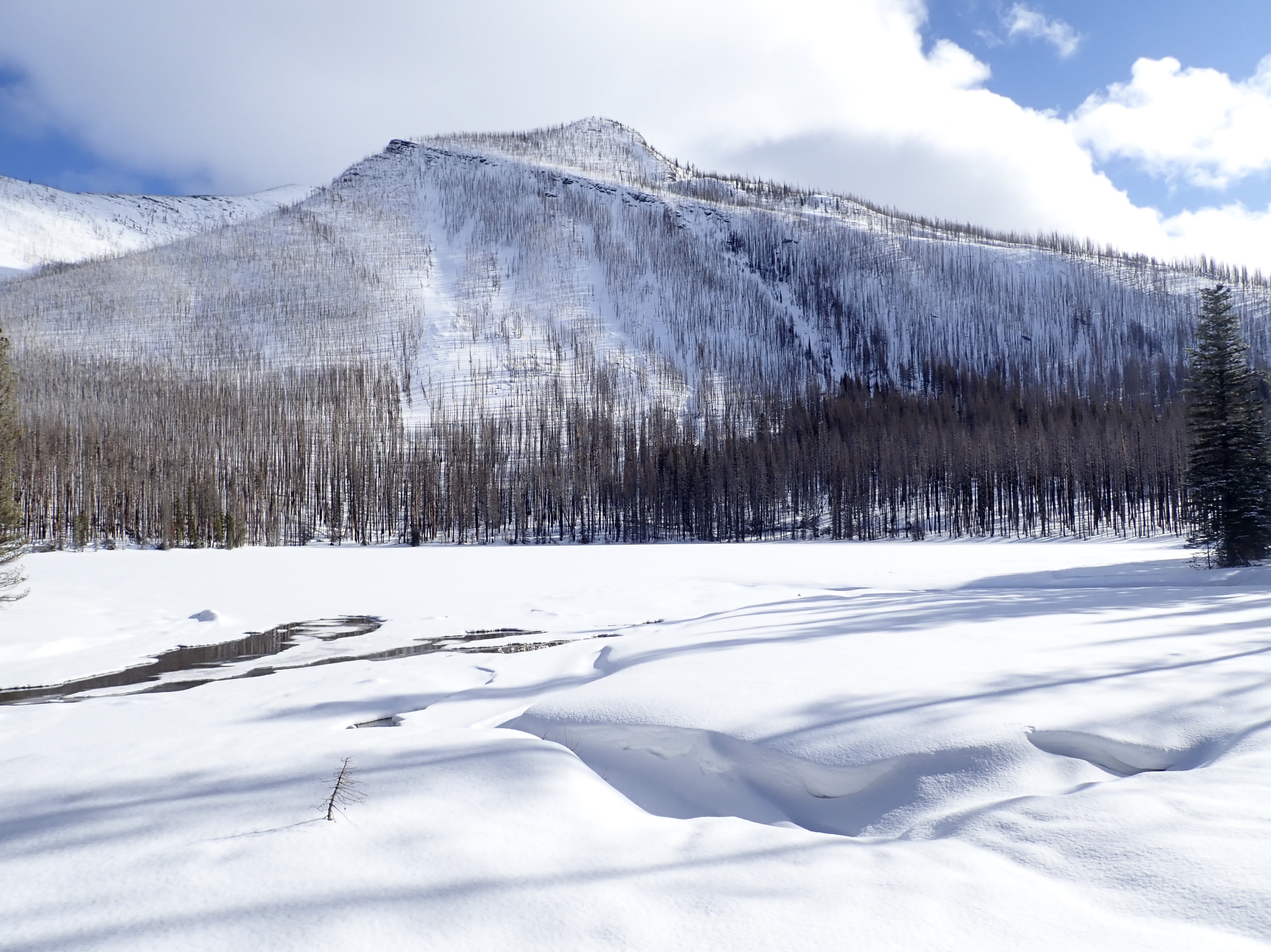
I followed Dipper to Little Prairie, then noticed there were tracks leading up the lower slopes of Mount Rowe, on the other side of the road. There aren’t any official trails on that side of the road, but plenty of ski-tourers ascend and descend there, based on the tracks I saw. The trees are now all burned on that slope, which meant reasonable views and no chance of disorientation, so I decided to climb up there and have a look around. Plus, I’d just bought some new snowshoes: MSR Revo Ascents. I wanted to try my more “serious” snowshoes out on some more serious terrain.
The snow was deep, and the grade was fairly steep on that slope, so I got a decent workout. After ascending for a while, I checked my map and noticed that I was at the same elevation as Akamina Pass, off to the south. I figured I’d start heading that way and started to traverse. Along the way, though, I encountered a gully. It was hard to see at first because of the depth of the snow, but once I noticed it I had a look up and down the slope and decided it wasn’t safe to cross – a definite trap hazard given the unknown depth of the gully and the very deep snow load all around it. Following the gully back down to the level of the road was fun and easy. Then I followed the road south to Cameron Lake.
As luck would have it, I had the lake entirely to myself for about 15 minutes. Nobody had disturbed the new snowfall from the prior night. I’d seen at least one other party on the road when I was up on the slopes of Mount Rowe, but they must have been heading for Akamina Pass. I had lunch and enjoyed the quiet and the views.
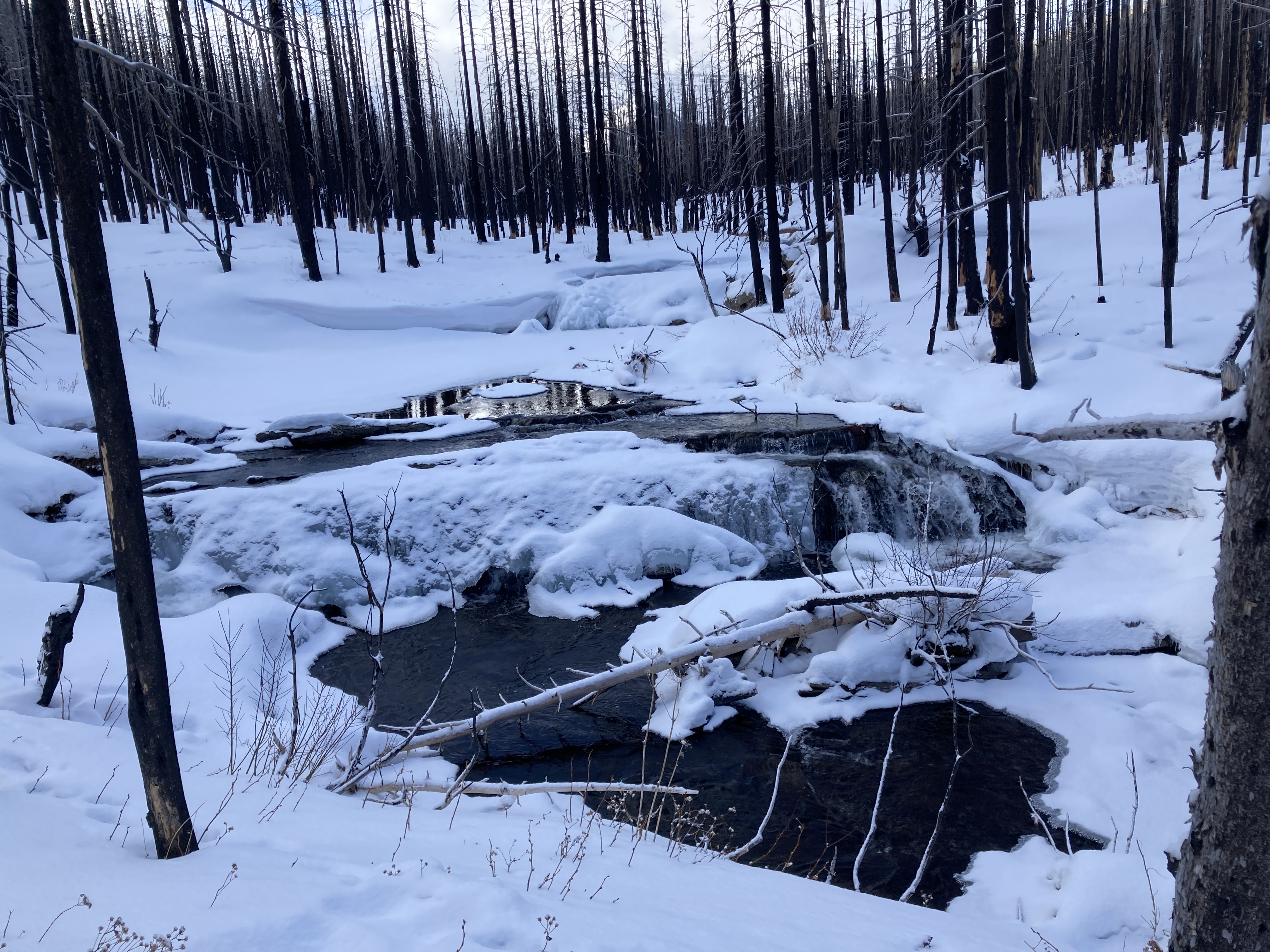
For my return trip, I followed Cameron Creek all the way down. From the north end of the lake, there’s a bridge over the outlet stream. Just before the bridge is a little blue arrow pointing along a trail into the woods. I followed this trail, navigating with the aid of more little arrows around a big pile of deadfall. It led me to diminutive Akamina Lake. I stayed on the west of the lake and encountered a little feeder stream which I crossed (with some comical flailing about). Then I followed Cameron Creek back to Little Prairie and got back onto Dipper. As I mentioned above, Dipper does extend south of Little Prairie – I saw it off to my left on my return trip – but following the creek was more fun and there were no major hazards.
Click on the pictures in the gallery below to access full-sized images.