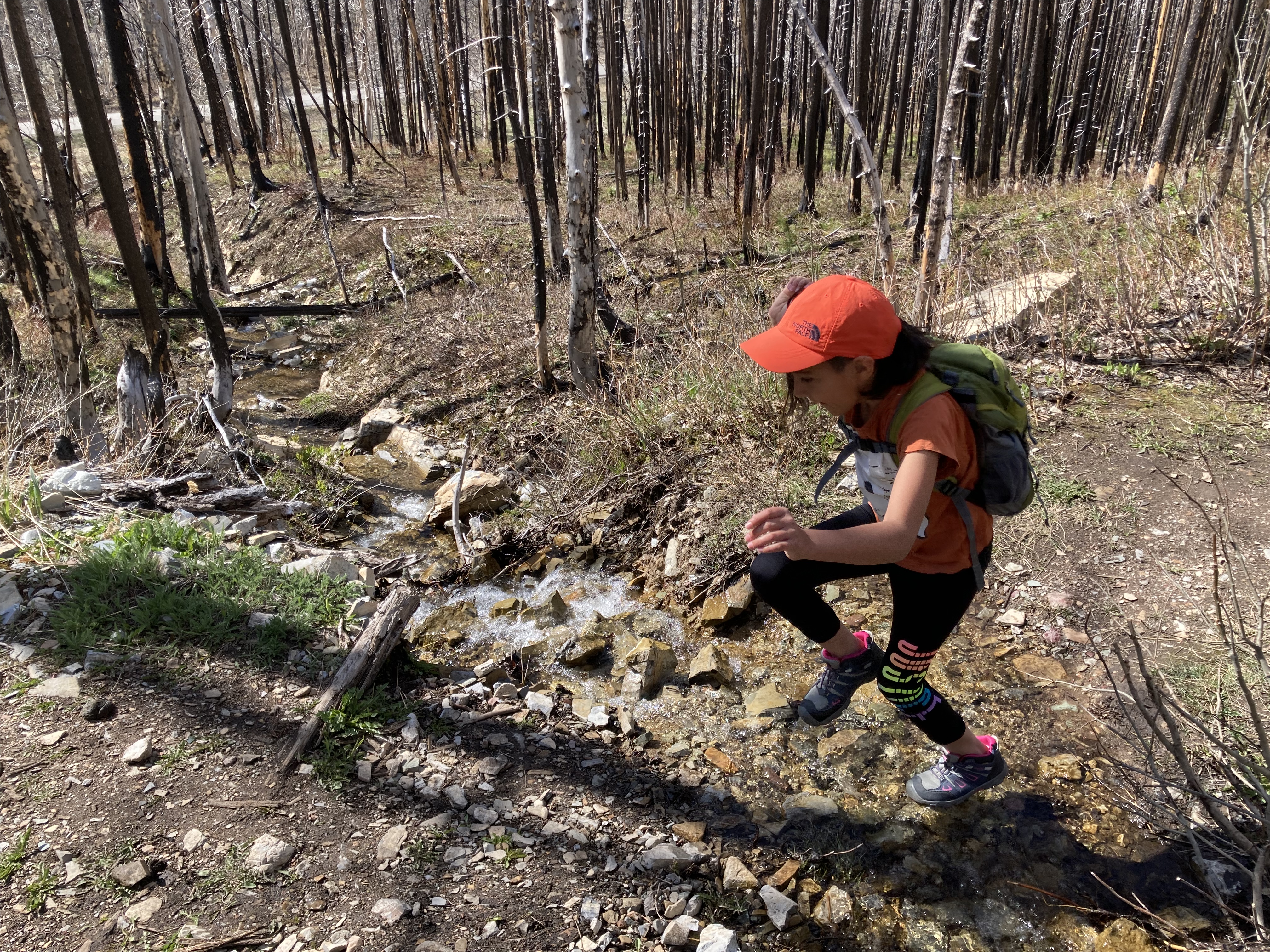
May 15, 2021. A quick and easy hike with kids to an old favourite in Waterton. Also a great option for a half day of snowshoeing.
- Region: Waterton Lakes National Park. Traditional Territory of the Blackfoot, Ktunaxa, and Tsuu T’ina First Nations
- Distance: 1.7 km one-way from the Akamina Parkway to the south shore; 3.6 km one-way if traversing from Akamina Parkway to Red Rock Parkway.
- Total Ascent: 80 m from Akamina Parkway; 150 m if coming up from the Red Rock side.
- Elevation of Objective: 1528 m
- Time: 35 minutes to the south shore with clear trails. Snowshoe time variable.
- Safety and Disclaimer
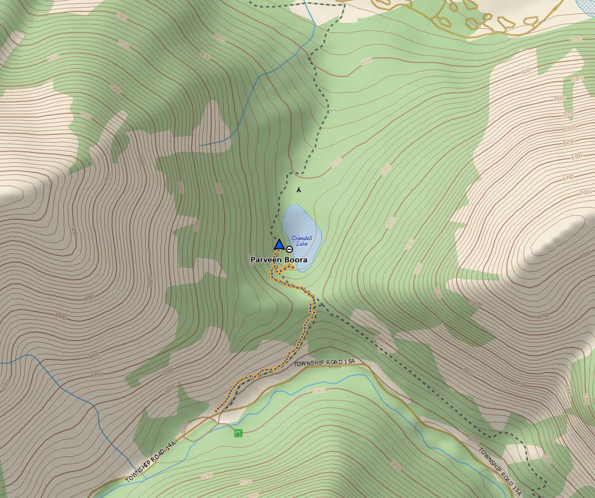
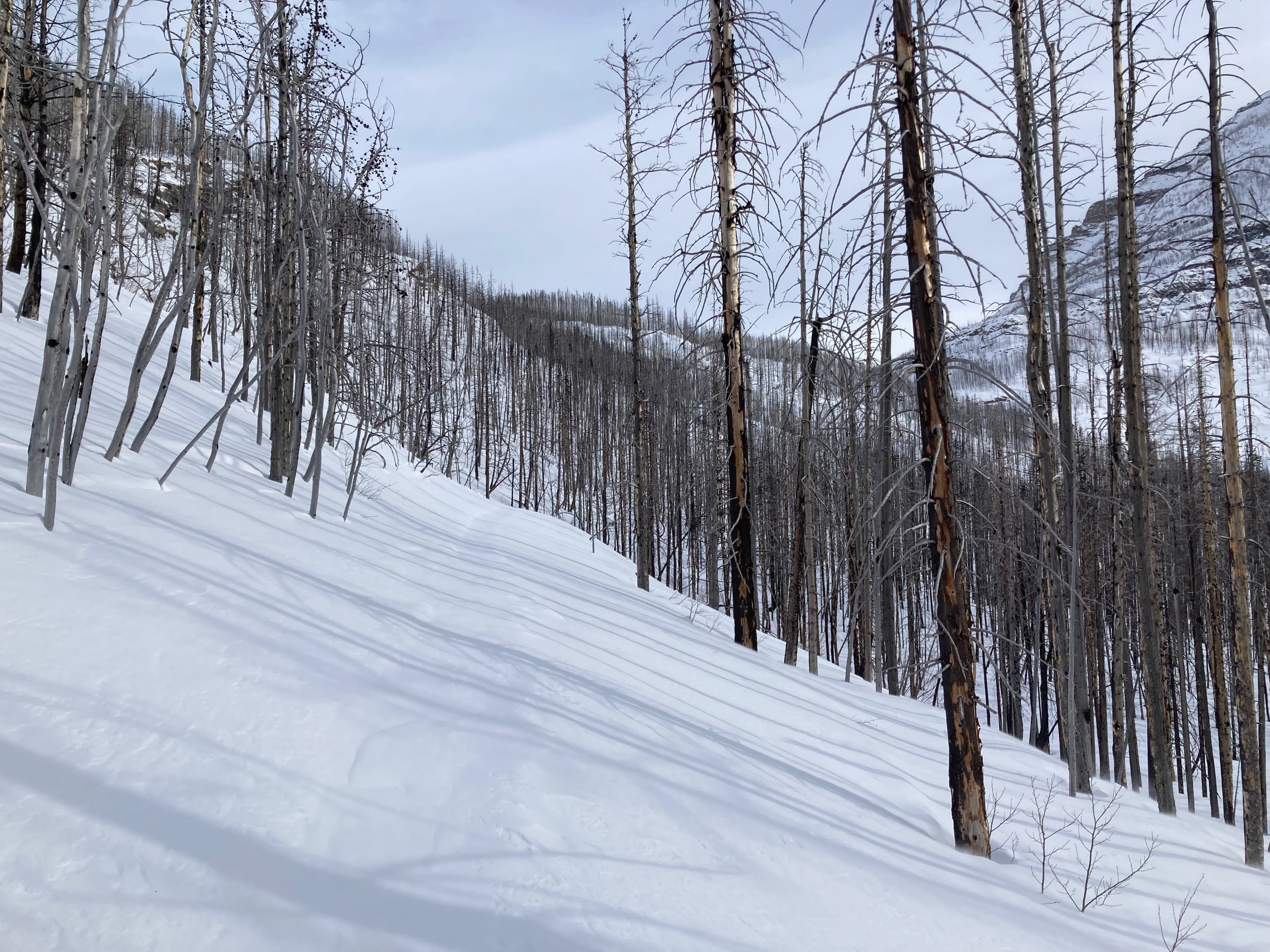
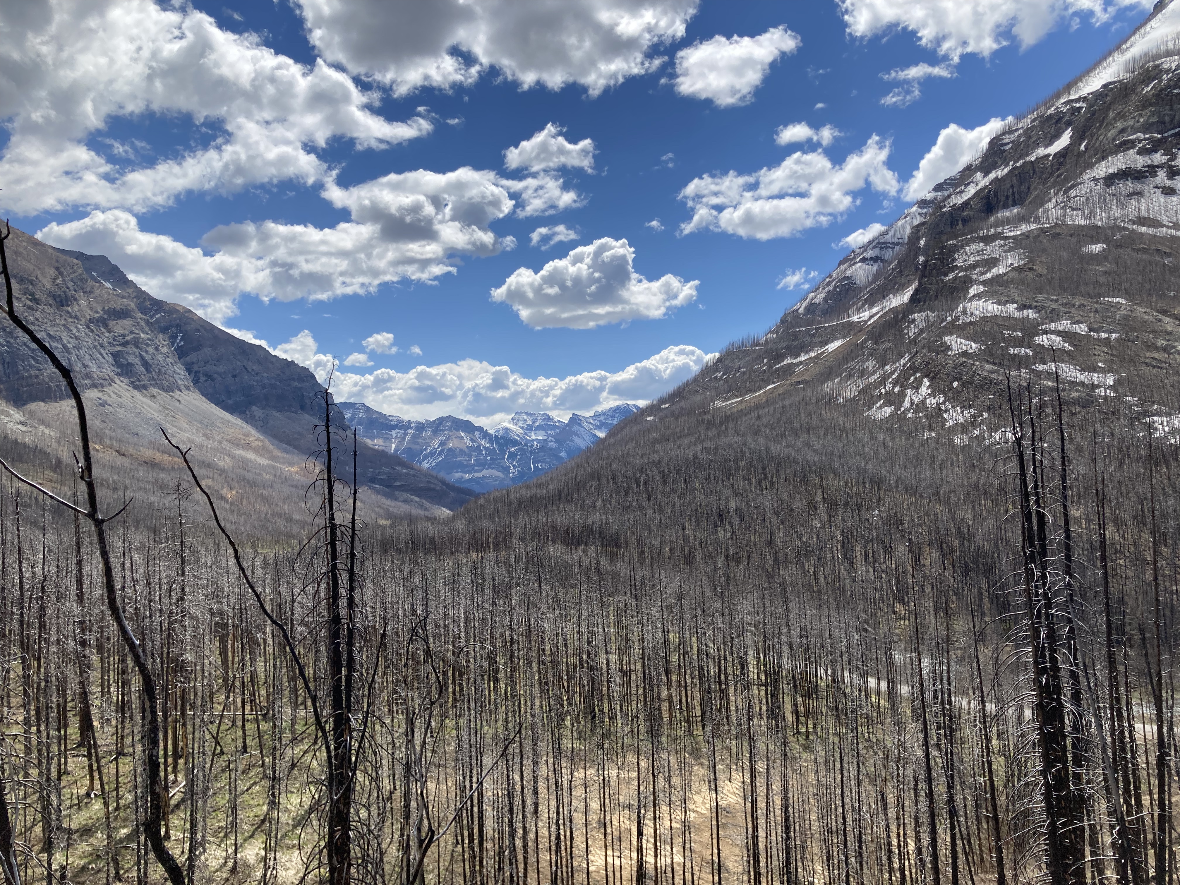
The trails to Crandell Lake are among the many day hikes impacted by the fires of 2017. The lake is a small one, sitting in a low hanging valley between Ruby Ridge and Mount Crandell. Trails approach from the south and north – the northern one starting at the Crandell Mountain Campground (which remains closed at this time due to fire damage), and the southern one starting from a trailhead along Akamina Parkway. Ease of access and proximity to the campground made this a frequent objective for campers, groups with kids, or for people looking for a short hike. It’s perfectly safe to do in the rain, during the shoulder season, even as a snowshoe trip. The fire has changed the hike dramatically, but it remains a fun and easy outing.
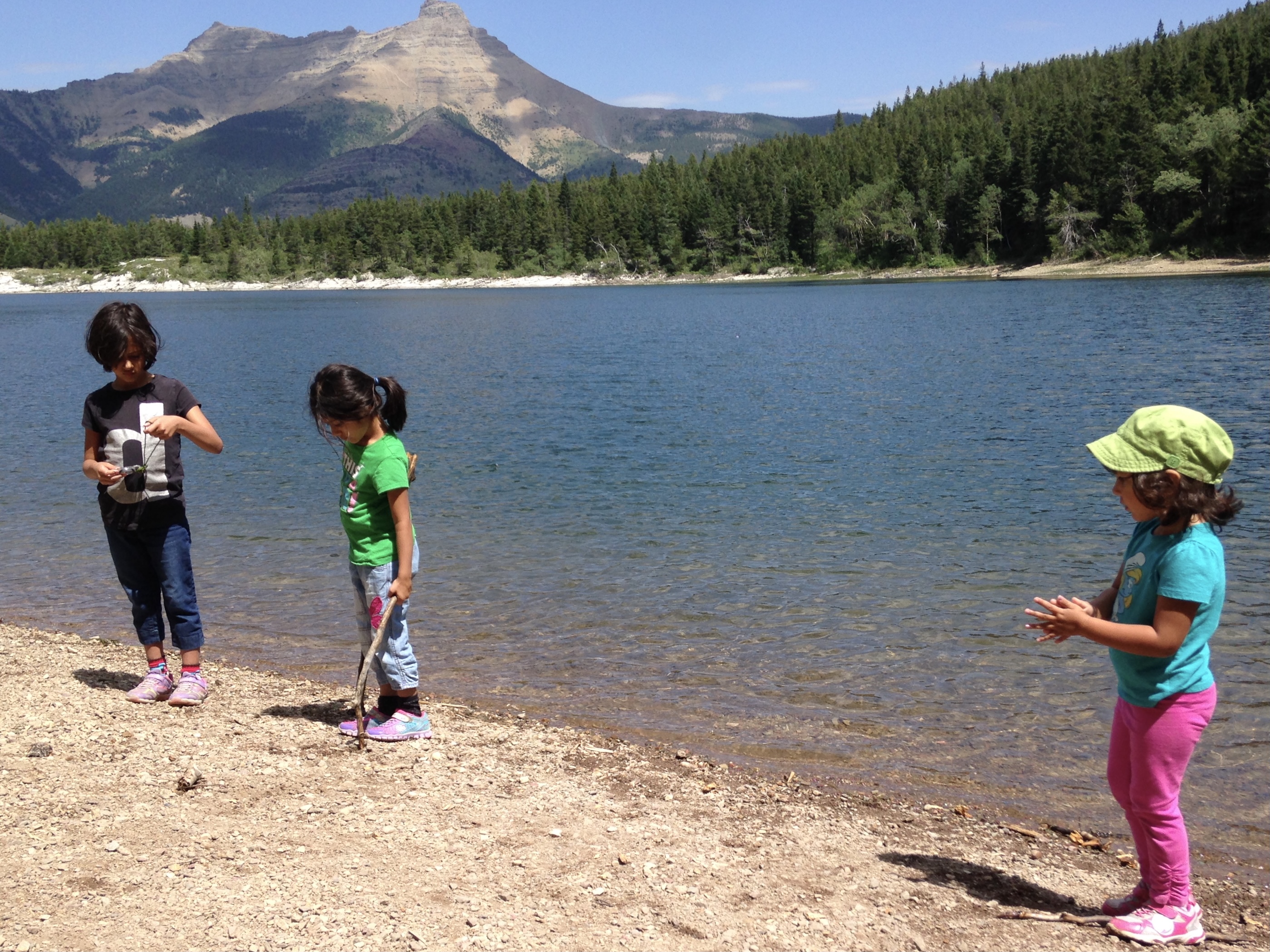
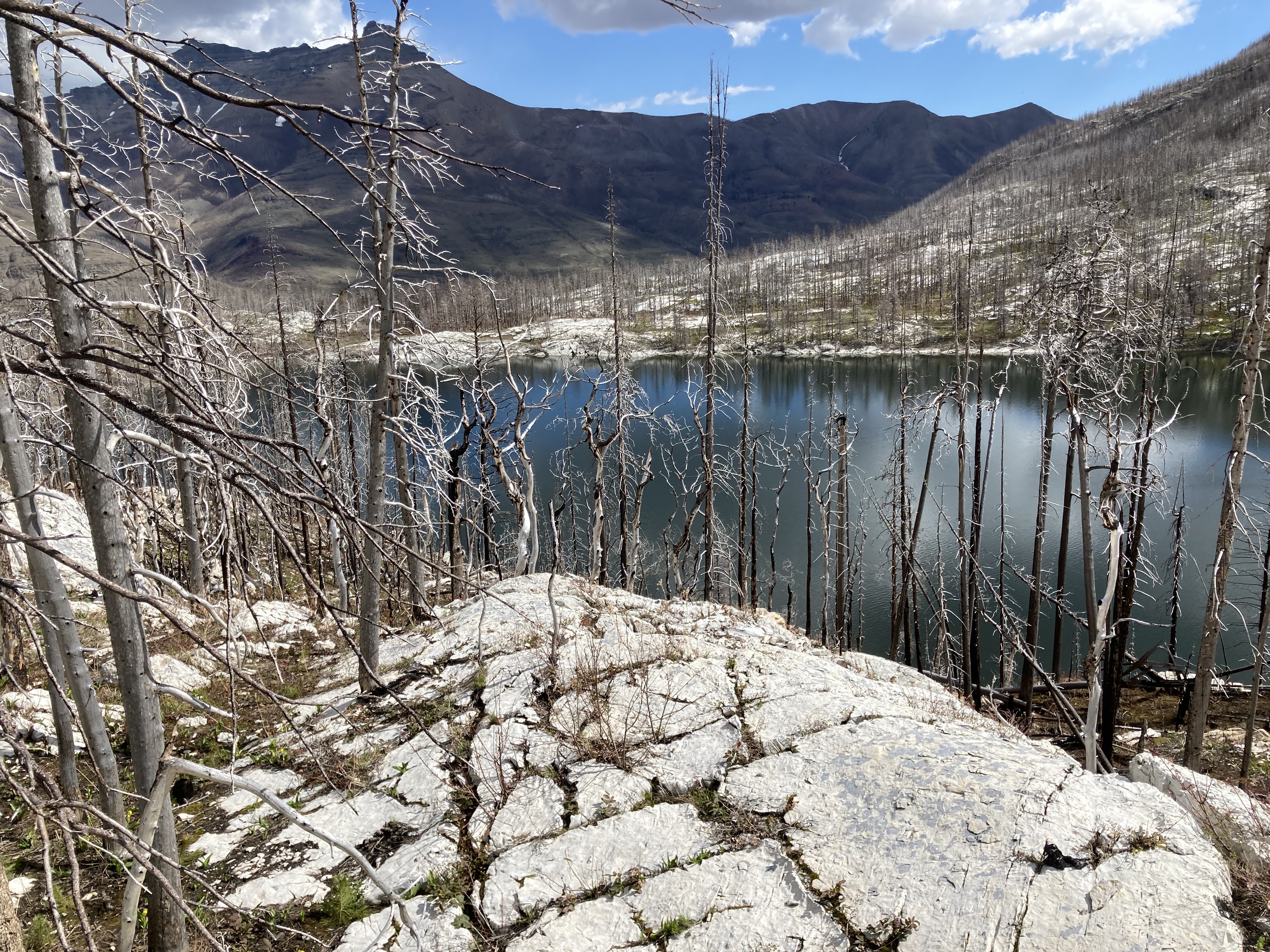
Access from the south is via the Akamina Parkway, about 5.5 km from where it leaves the townsite. There’s a clearly marked parking area right by the start of the trail. In the winter this part of Akamina Parkway remains drivable. The trail climbs gently to the lip of a hanging valley, then descends to the south lake shore. Another branch of the trail continues to the northern lake shore, where there is more of a beach. Along the western and northern shores there are exposed outcrops of white rocks that make for nice places to sit. The trail carries on north from the lake and descends to the Crandell Mountain Campground. The northern terminus of the trail sits at an elevation about 120 m lower than the southern terminus. An easy hike with kids may involve just going from Akamina to the lake and back, while a decent half day of snowshoeing can be had going all the way over to the campground and back.
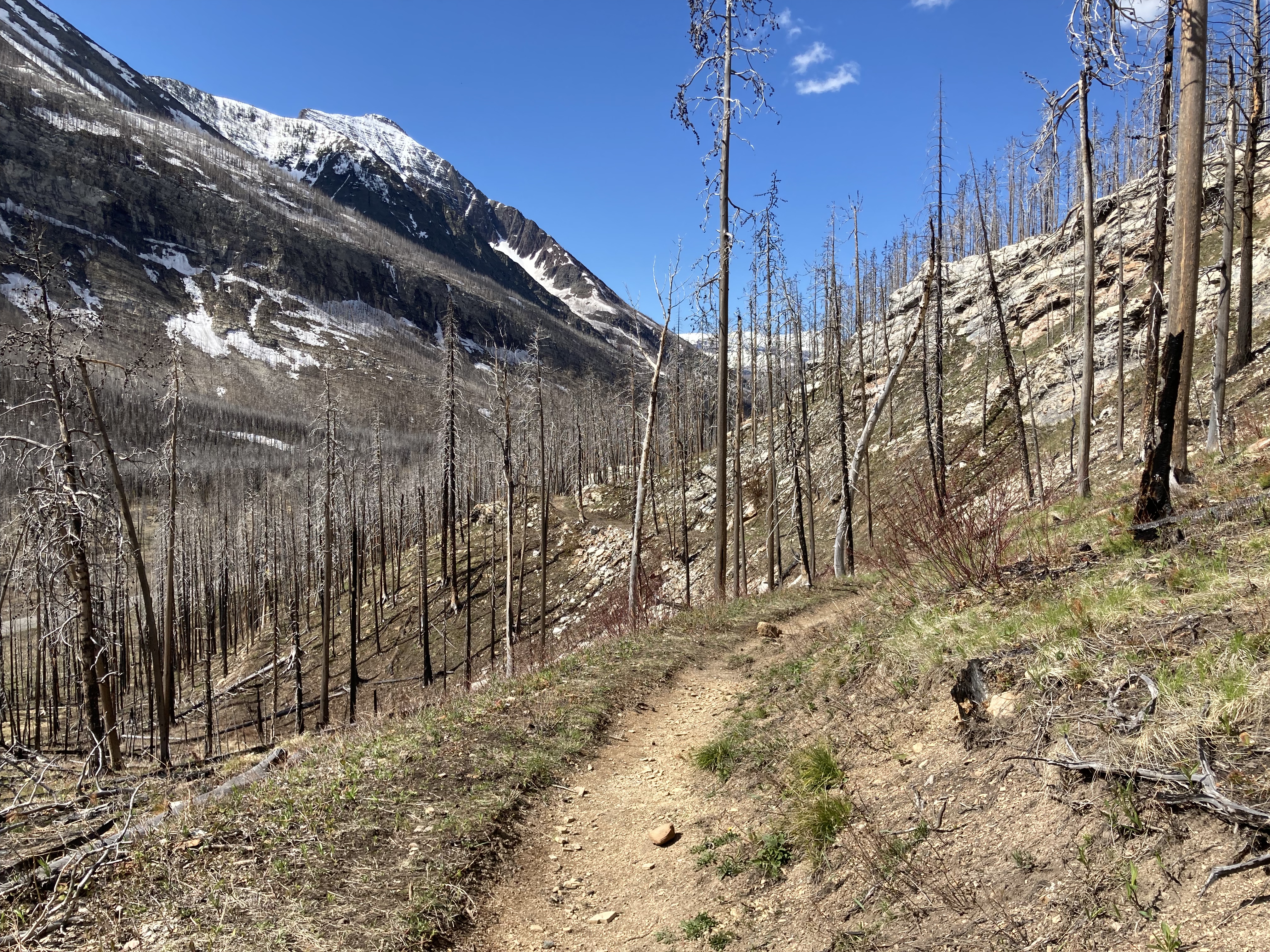
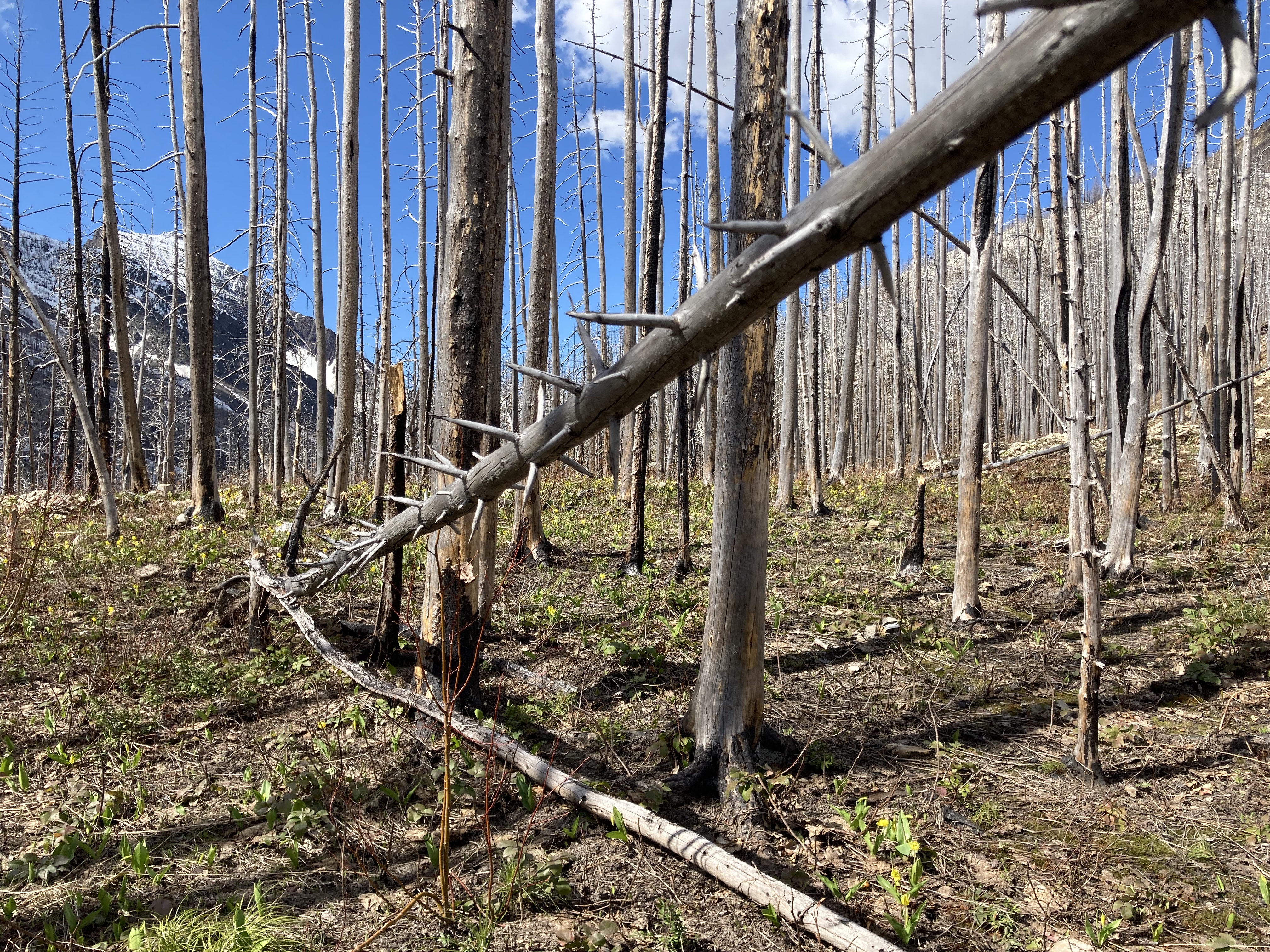
This hike used to be a journey through a very lush and dense forest. Now the forest is gone, so the character of the hike has changed pretty dramatically. The burned tree trunks make for a feeling of desolation, and there is now a complete lack of shade. On the bright side, the contours of the mountain are now visible. There are even some decent distant views. Wildflowers and low shrubs are growing among the burned trees. The forest will renew in due course, but it will be the work of decades during which time we get to watch how things change.
Click on the pictures in the gallery below to access full-sized images.


Par, I’m wondering if you have ever done the walk from Crandell Lake back to the townsite? Wondering what level of difficulty it might be and also if it’s scenic at all. I’m guessing the fire burnt this trail as well? I can’t seem to find much info about it online so I’m wondering if it’s not a great walk. Thoughts?
LikeLike
I’ve never done that one, though I’ve been aware of it as an option for hiking or biking. It strikes me as a good option for people camping at the townsite who want a mid-length hike that they don’t need to drive to. I think it would be quite scenic, since it basically parallels the road and the views from the road are quite nice.
LikeLike