July 14, 2024. A visit to a picturesque lake in K-country with an extension (most of the way) to a high mountain pass.
- Region: Kananaskis Country. Traditional territory of the Stoney, Tsuu T’ina, and Blackfoot First Nations
- Distance: 14.5 km round-trip
- Total Ascent:
- Rummel Lake: 360 m
- Rummel Pass: 550 m
- Elevation of Objective:
- Rummel Lake: 2200 m
- Rummel Pass: 2400 m
- Total Time: 4h 47m
- Safety and Disclaimer
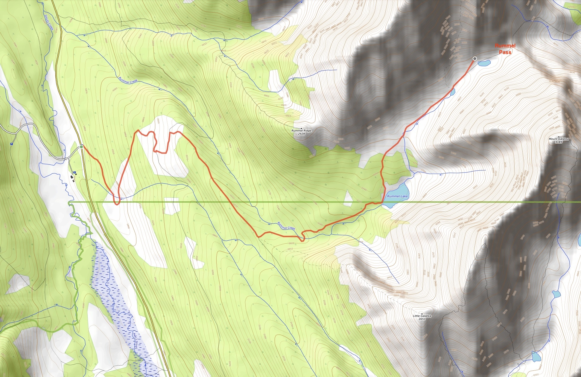
A short distance north of the perpetually busy Chester Lake trail in Kananaskis is the Rummel Lake trail. It is featured in both Gillean Dafferin’s Kananaskis Country Trail Guide Vol 1 as well as the Copelands’ Where the Locals Hike in the Canadian Rockies. Both describe Rummel Lake as being Chester Lake’s equal in beauty, but more tranquil because of the smaller number of hikers that seek it out. It also serves as a stepping stone to Rummel Pass, between Mount Galatea and The Tower. Our plan was to get up to the lake, see how everyone was feeling, then strike out beyond the lake to Rummel Pass. We made it within a few hundred meters of the pass before being turned back by an unfriendly snow patch, but the trip beyond the lake was totally worthwhile and took us to two tarns and a beautiful high mountain meadow.
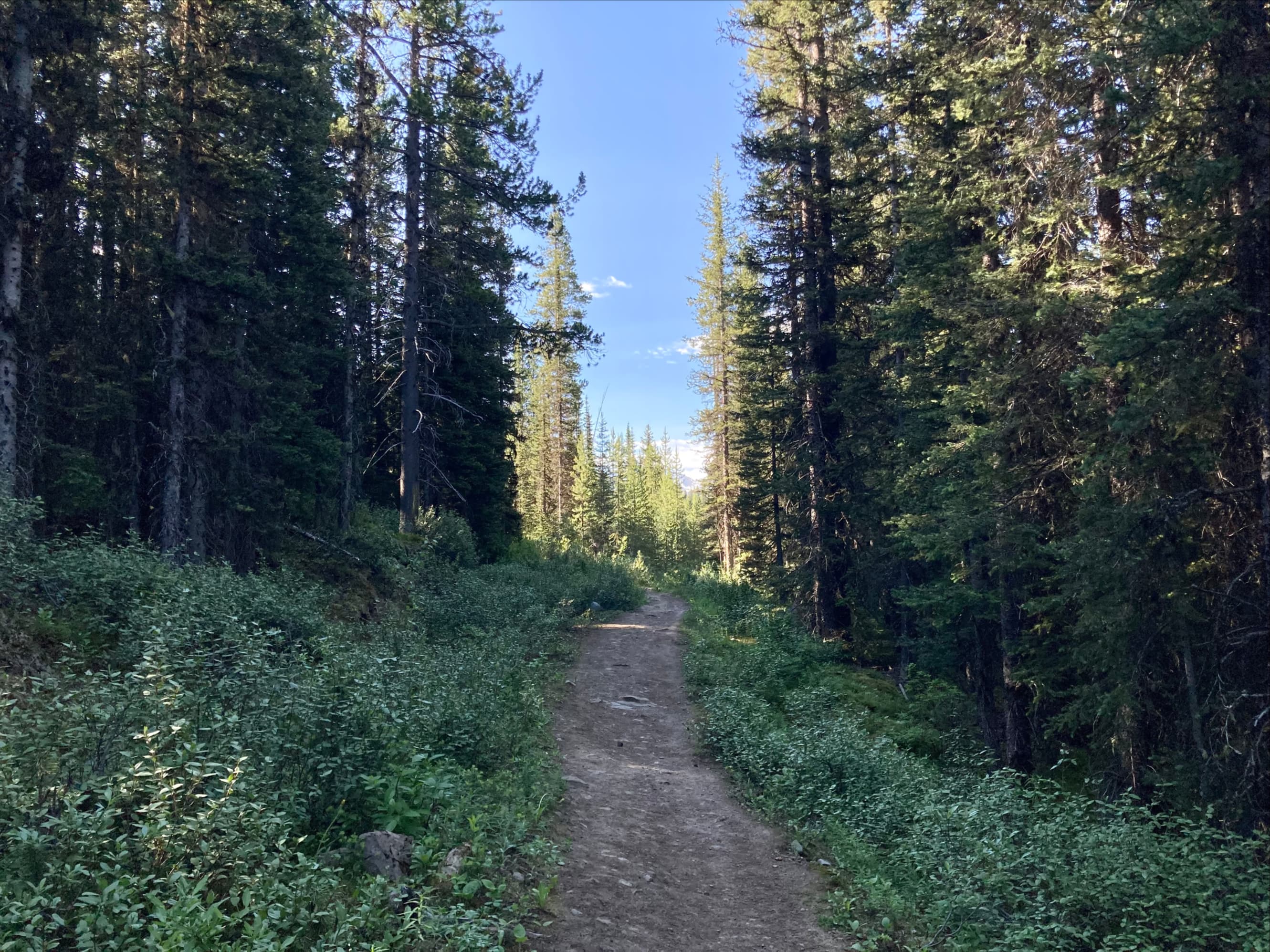
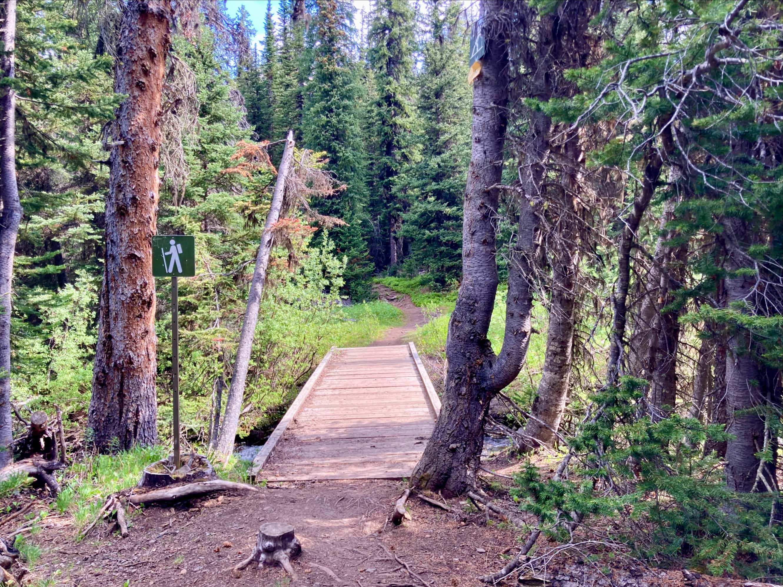
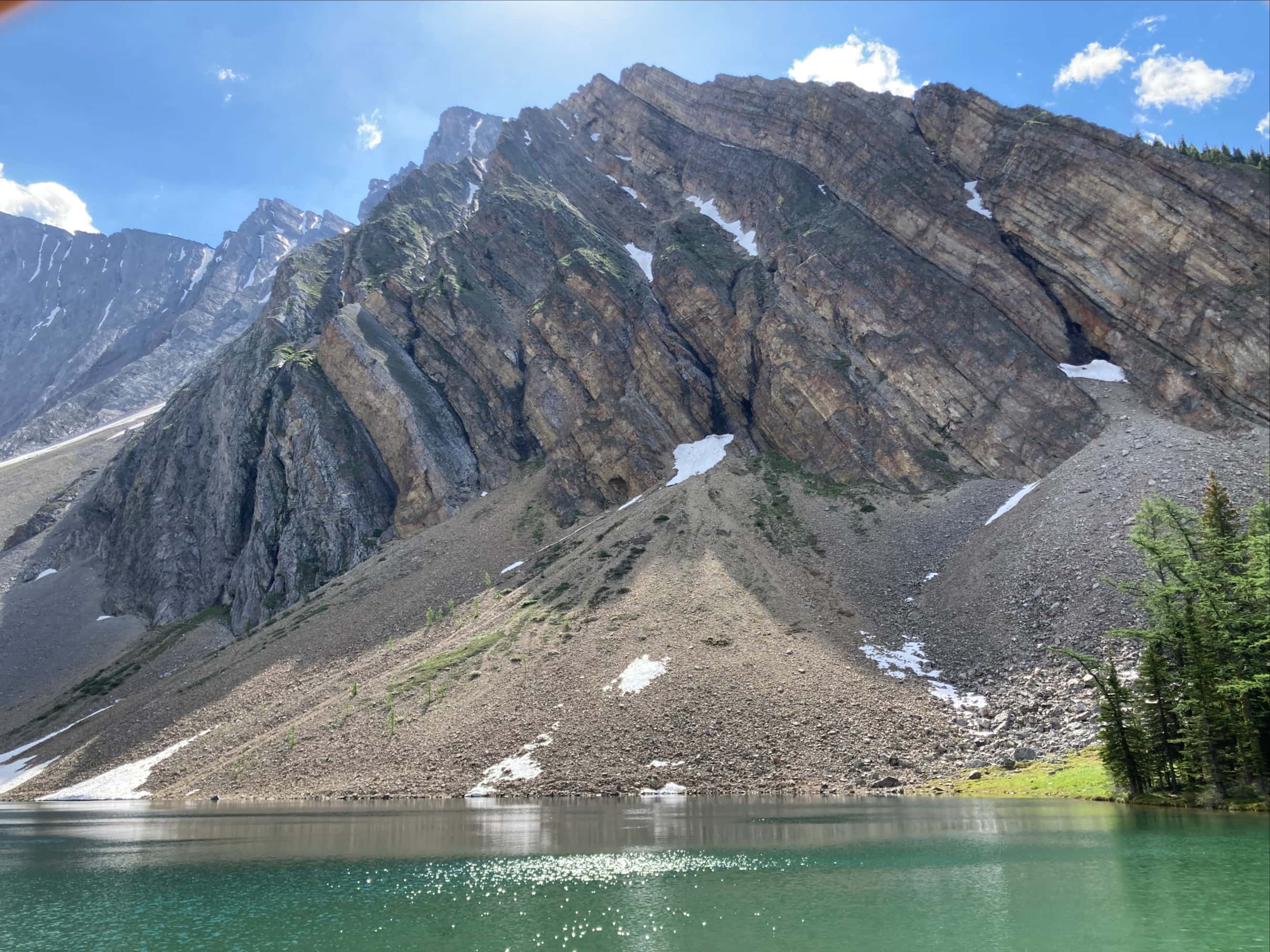
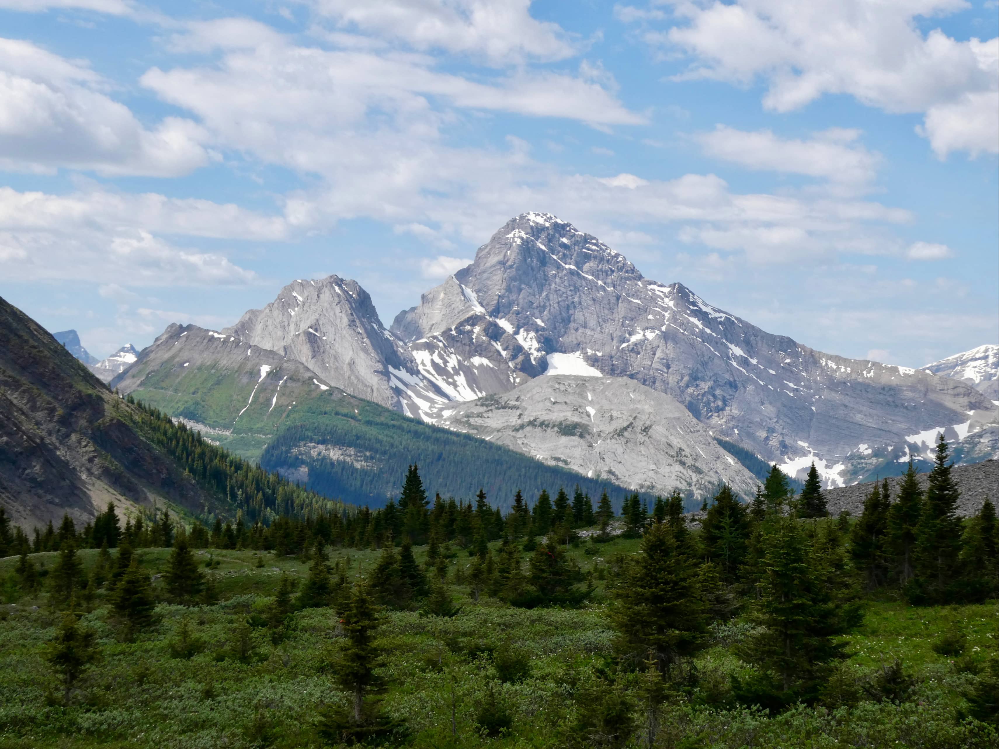
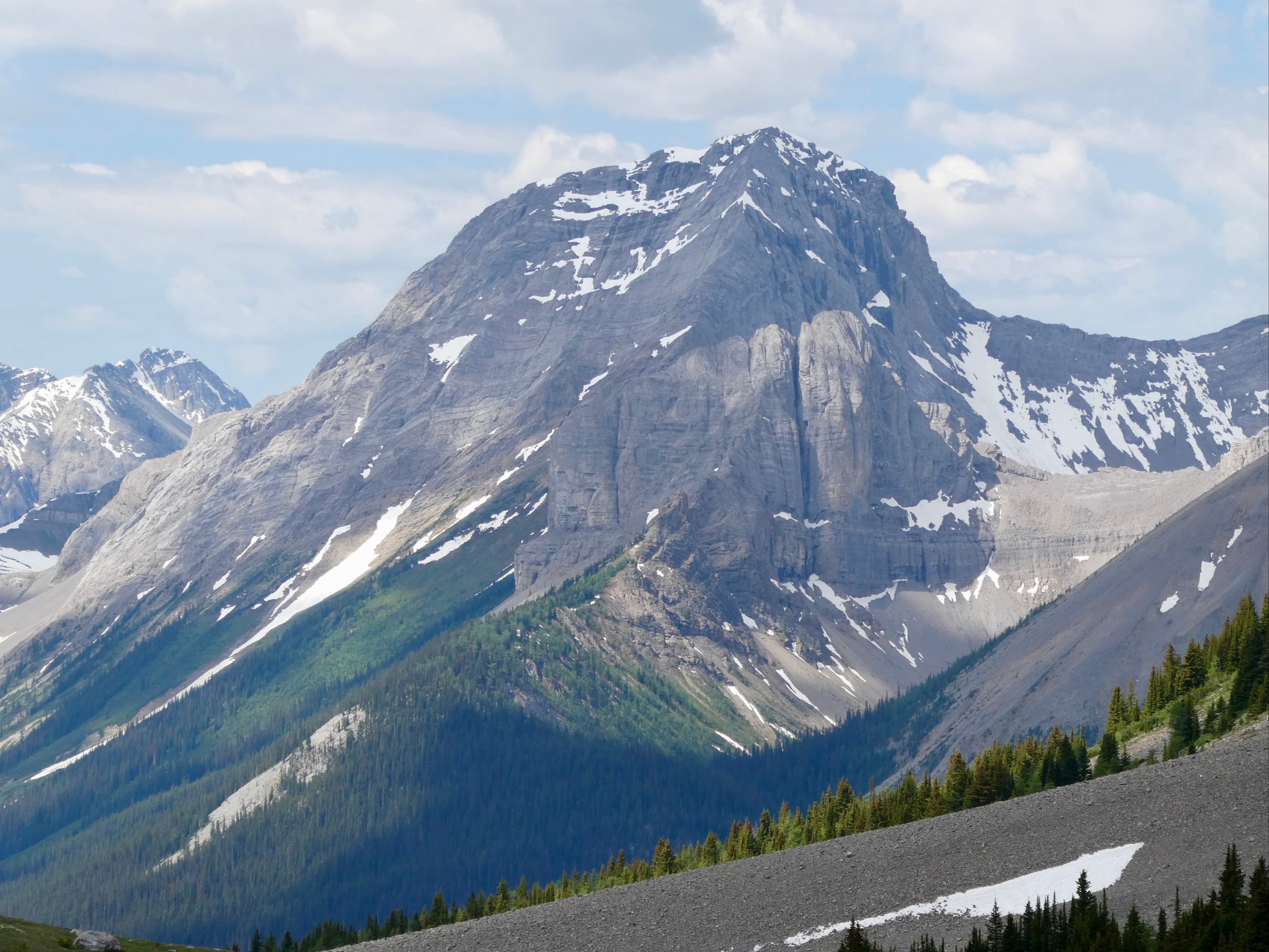
Access is via Hwy 742 (Smith Dorrien Trail). No official parking area or trailhead is established, but the trail departs from opposite the signed turn-off to Mount Shark, so it’s easy to find. Google Maps has the trailhead marked – click here. The trail to Rummel Lake is almost entirely within the trees. The scenery was therefore somewhat limited, but the journey to the lake didn’t take us long. The only decision to be made along the way was whether to take the “summer route” or not. There’s a fork in the trail shortly before the lake, with the main route proceeding across a sturdy bridge and the alternate path being marked with a sign declaring: “Avalanche area. Do not enter.” This warning is for the benefit of winter hikers. Dafferin’s book describes a bit of navigation that is required to avoid a tricky ledge above a cascade along the summer route. Our group decided to stick with the easier official route. As we neared the lake we saw sign pointing the way to the biffy. Then we were treated to a broad view of Rummel Lake below of the impressive cliffs of Mount Galatea.
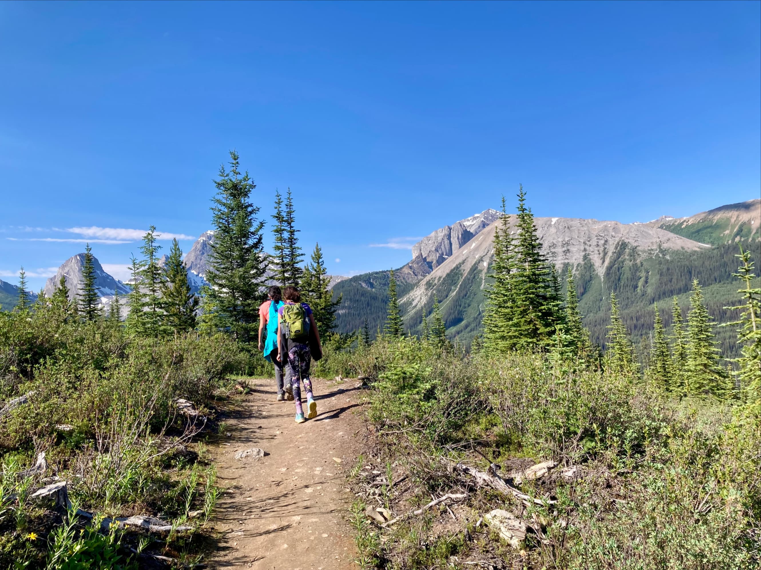
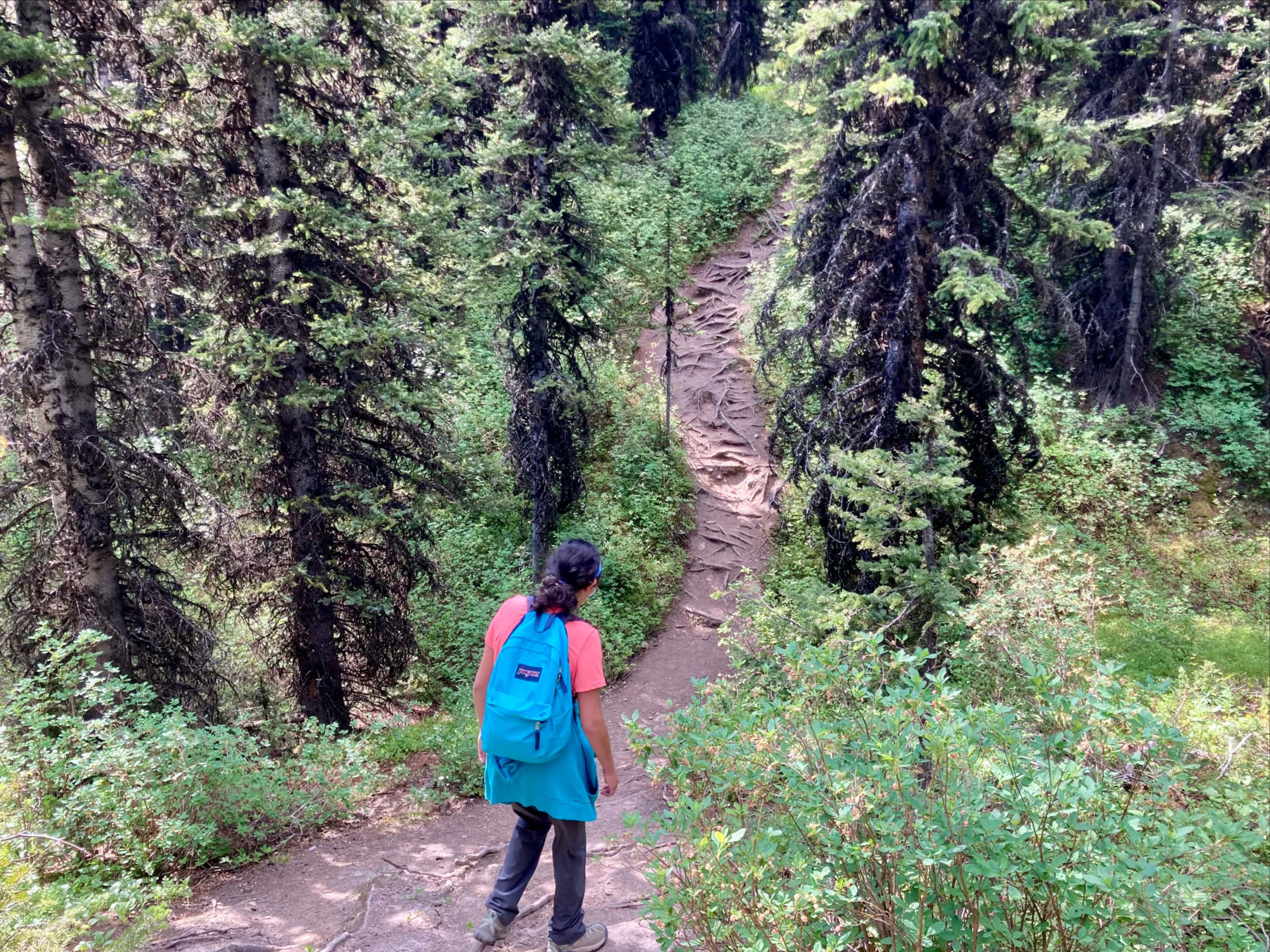
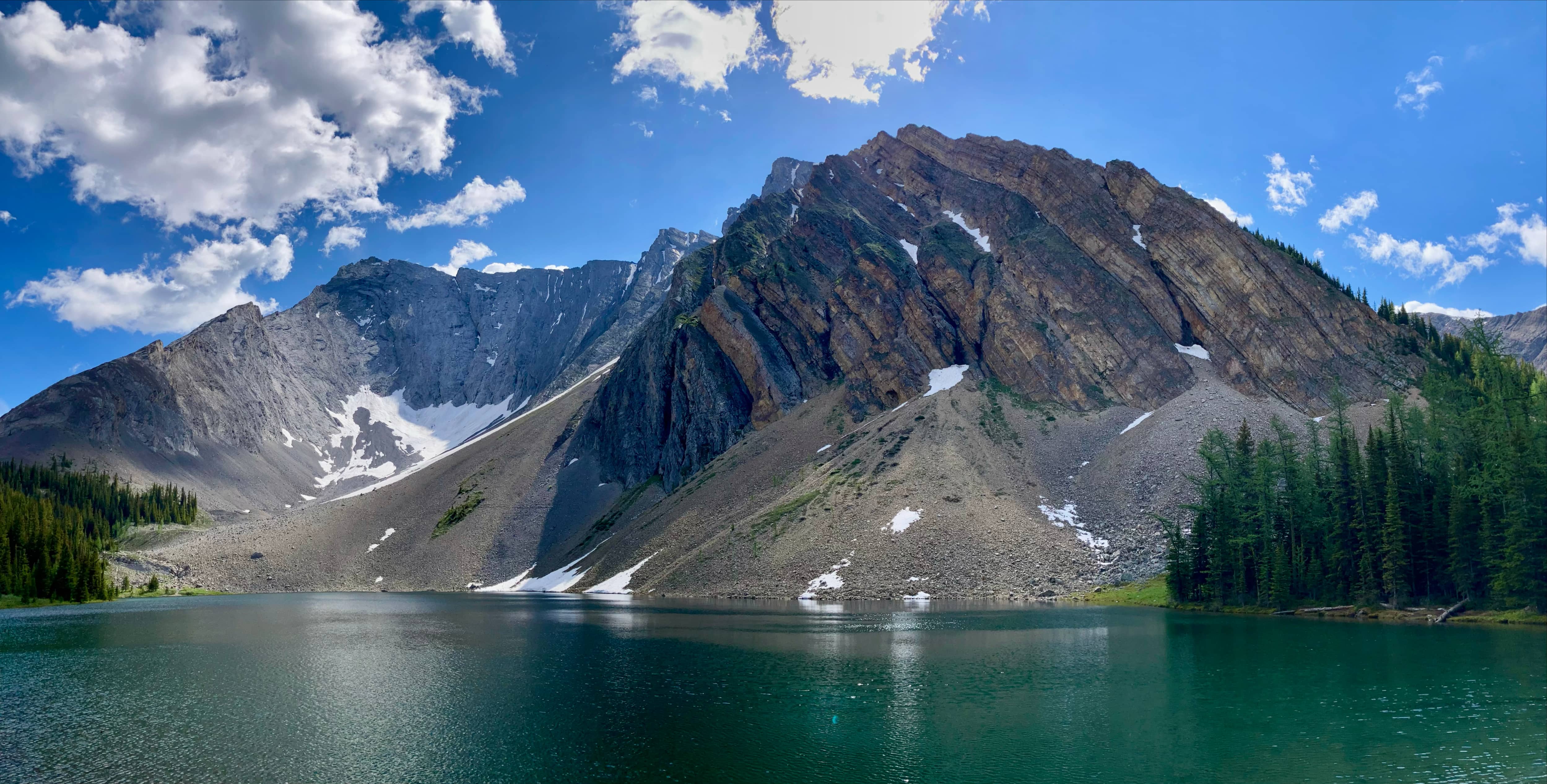
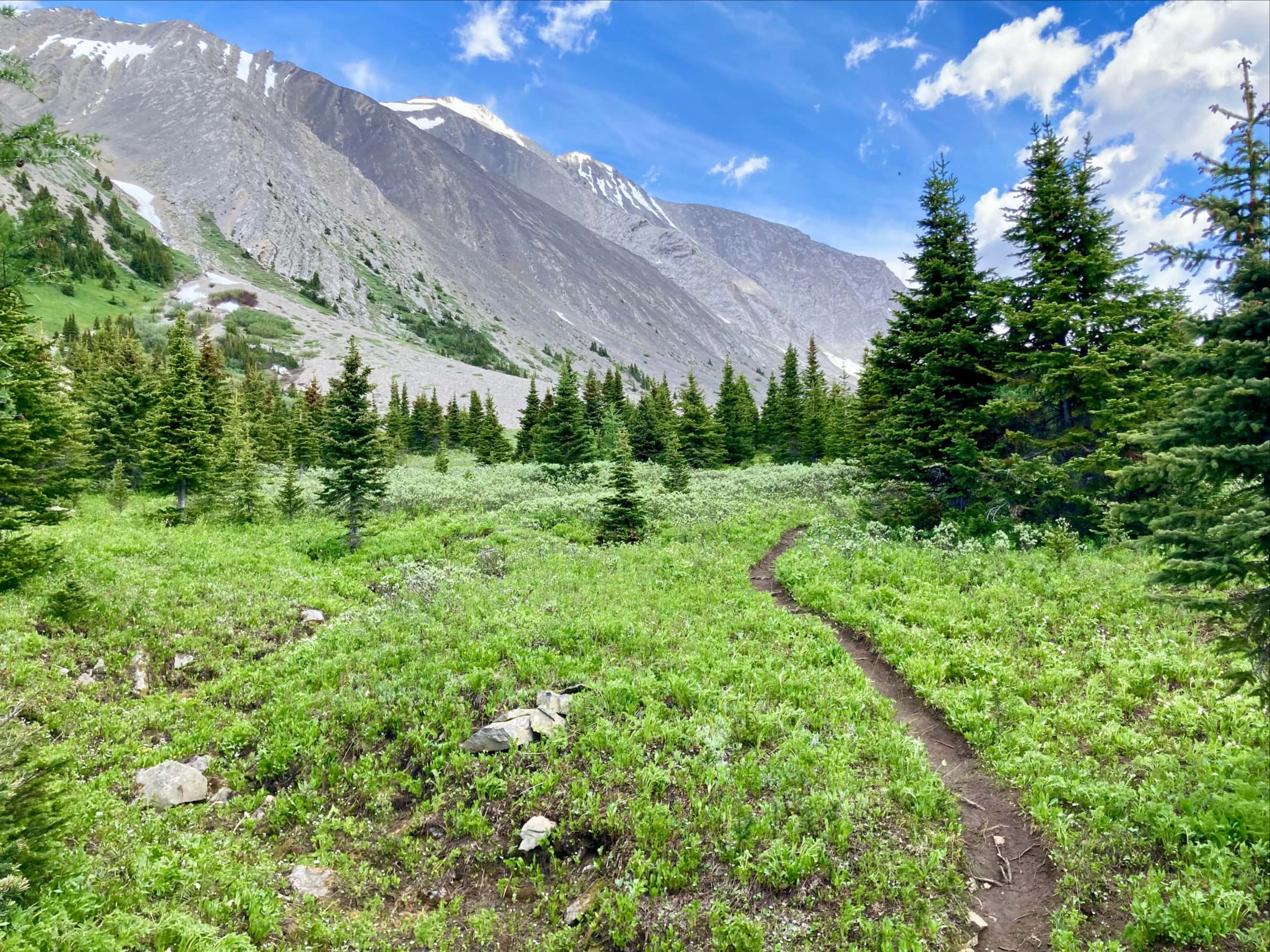
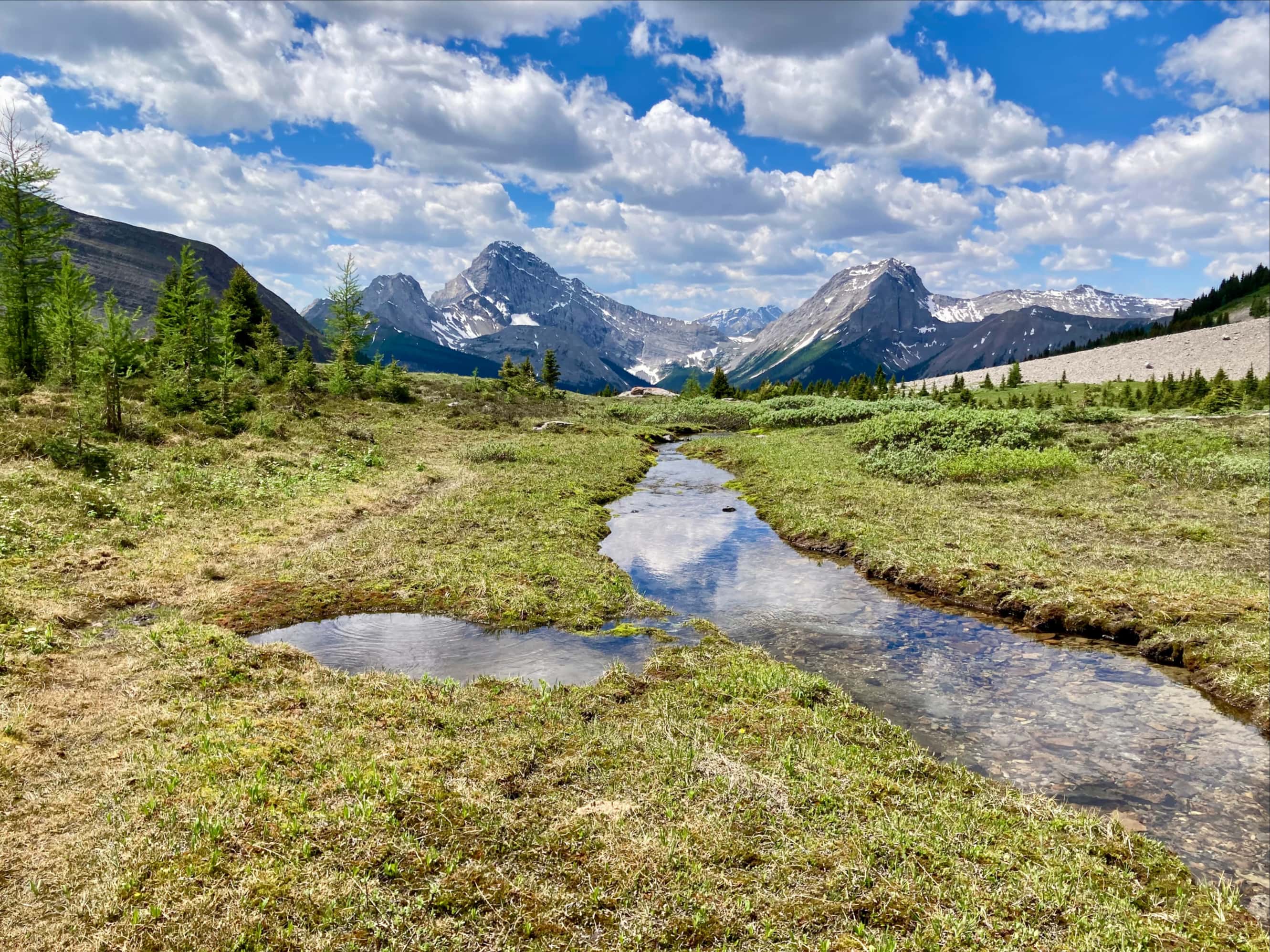
The shores of Rummel Lake were pretty buggy, but that didn’t detract much from the overall experience. Once we had a snack and a chance to take in the views we set out toward Rummel Pass. We followed the lakeside path clockwise for a short distance until a very obvious (though unsigned/unmarked) path set out north from the lake. Though easy to follow, this path was more narrow and rough than the path to the lake. After pushing through areas crowded with trees and up one steep climb we broke out into a high alpine meadow and took in the views ahead of us towards the pass and behind us across the valley.
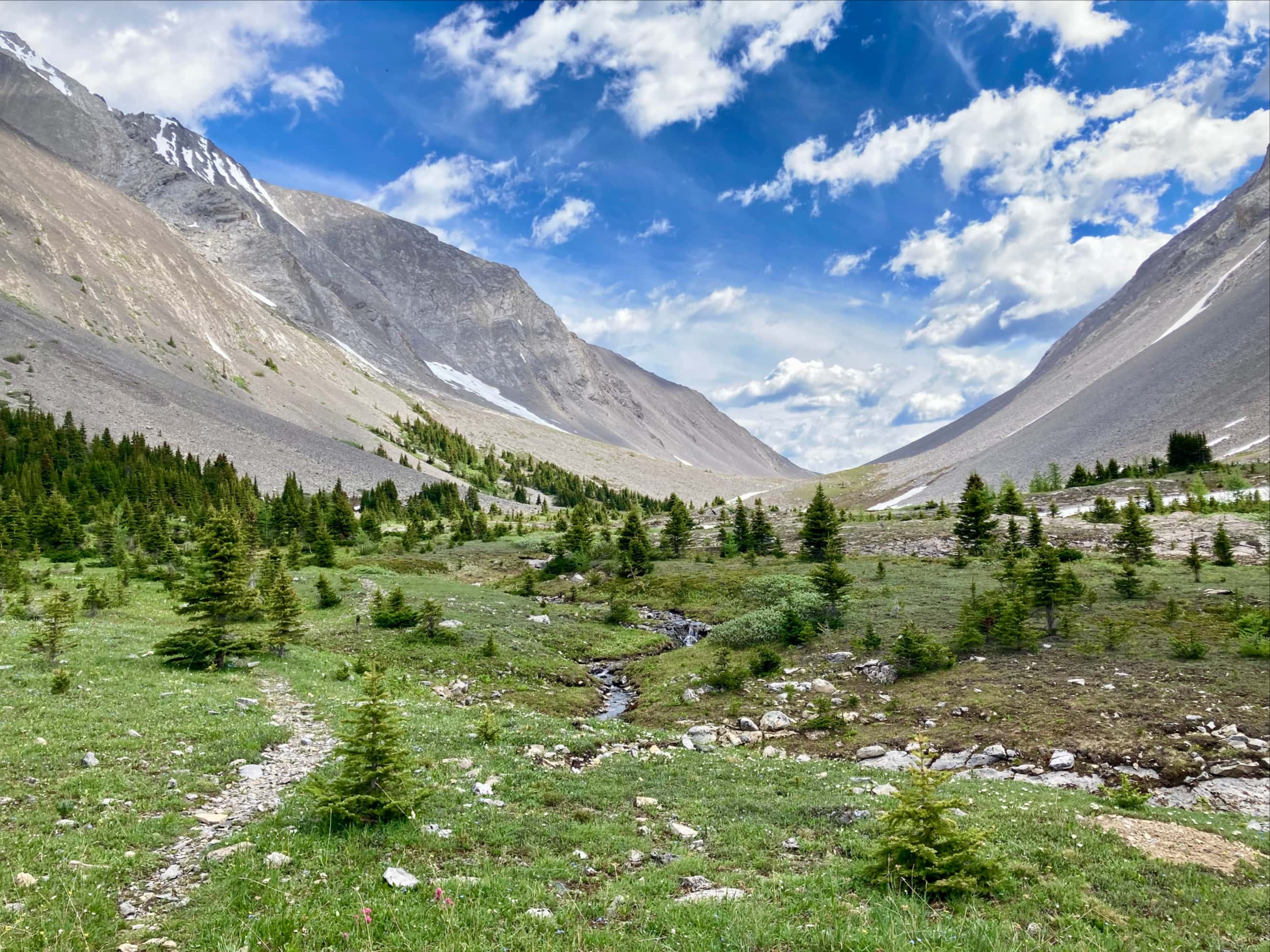
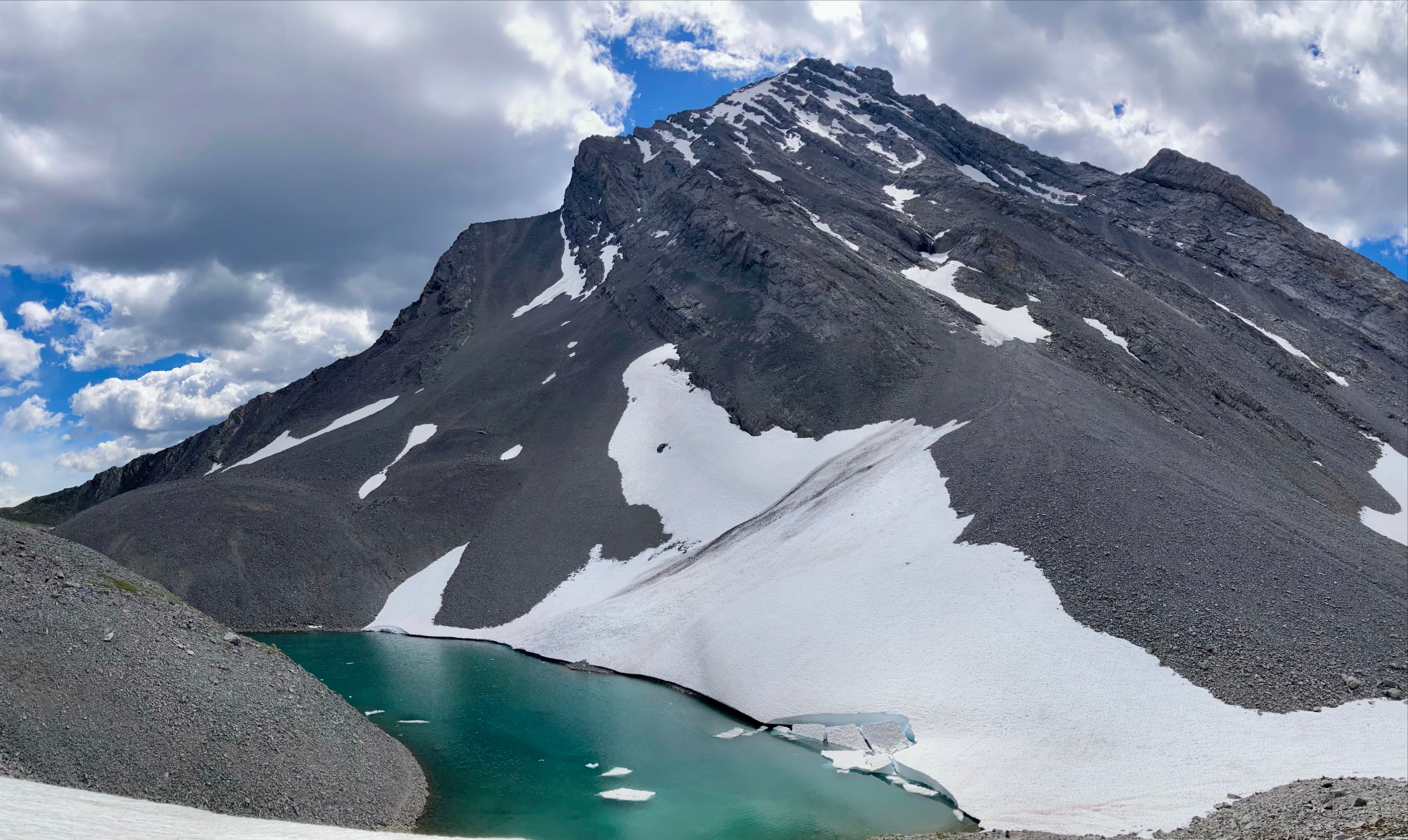
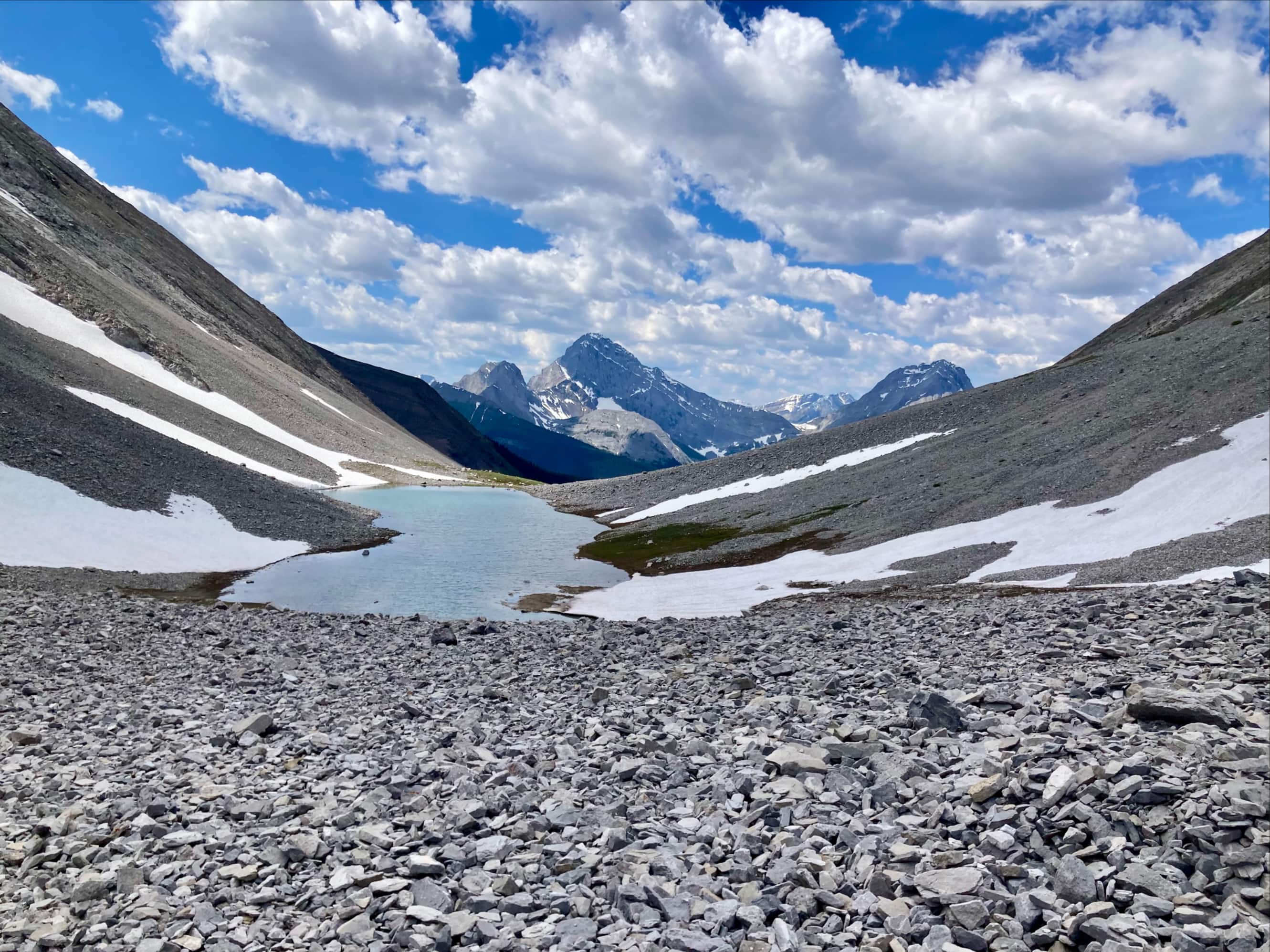
The trail ran through low foliage and alongside small streams of runoff before climbing through a talus field and arriving at the first of two tarns sitting more or less directly between the summits of Mount Galatea and The Tower. We had a nice long stop at the first tarn, enjoying the views ahead to the pass as well as behind to Mount Birdwood.
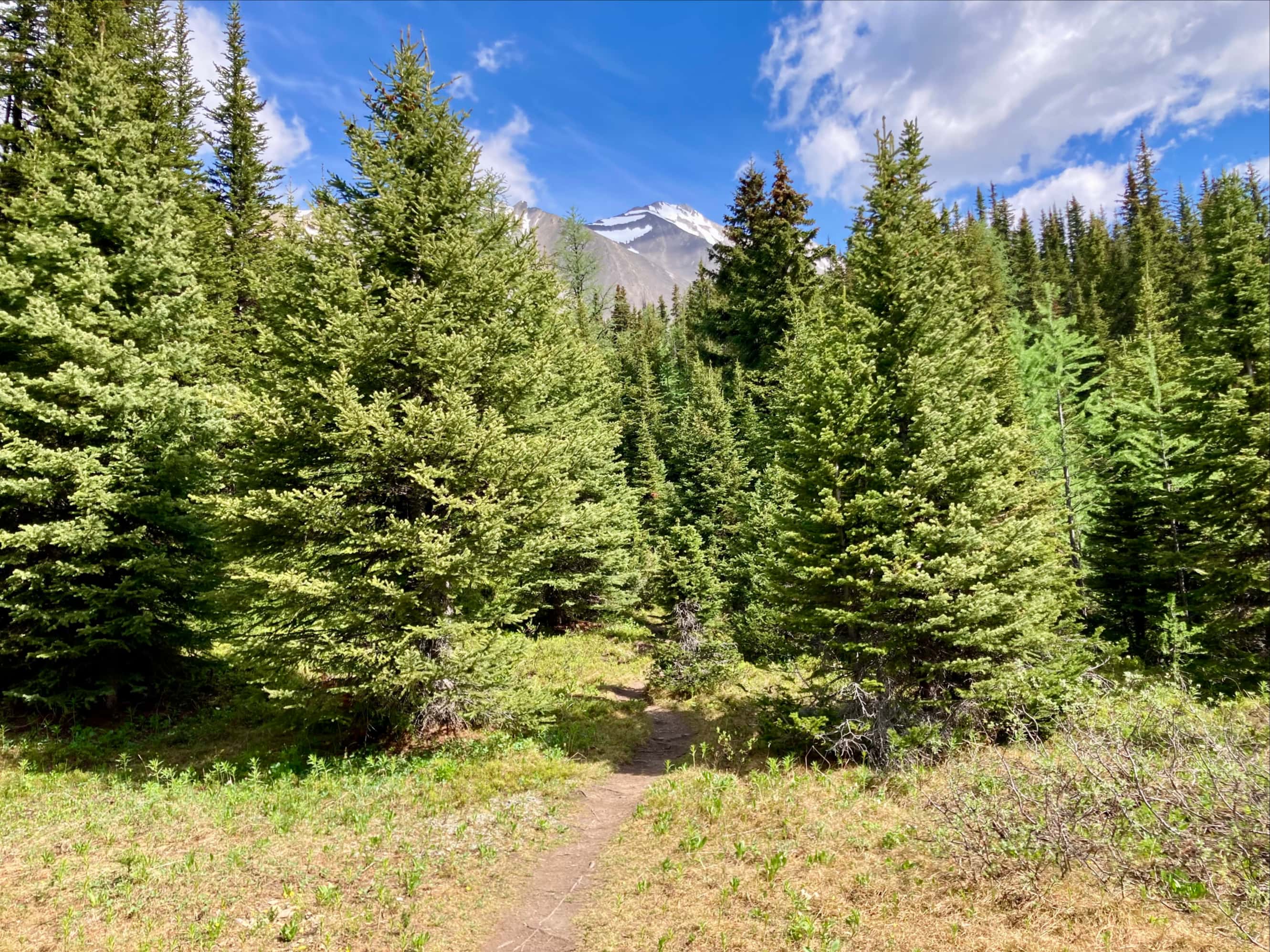
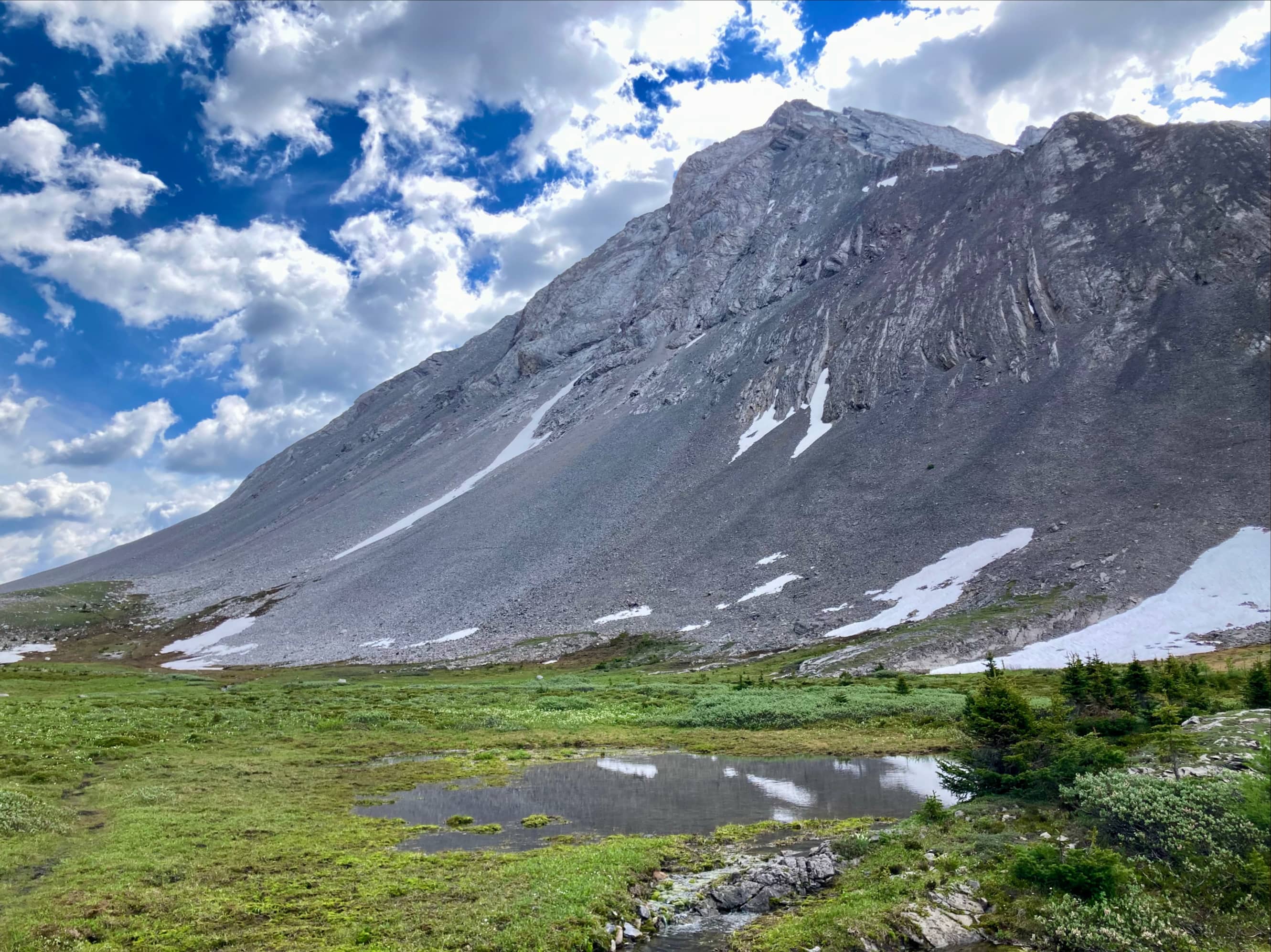
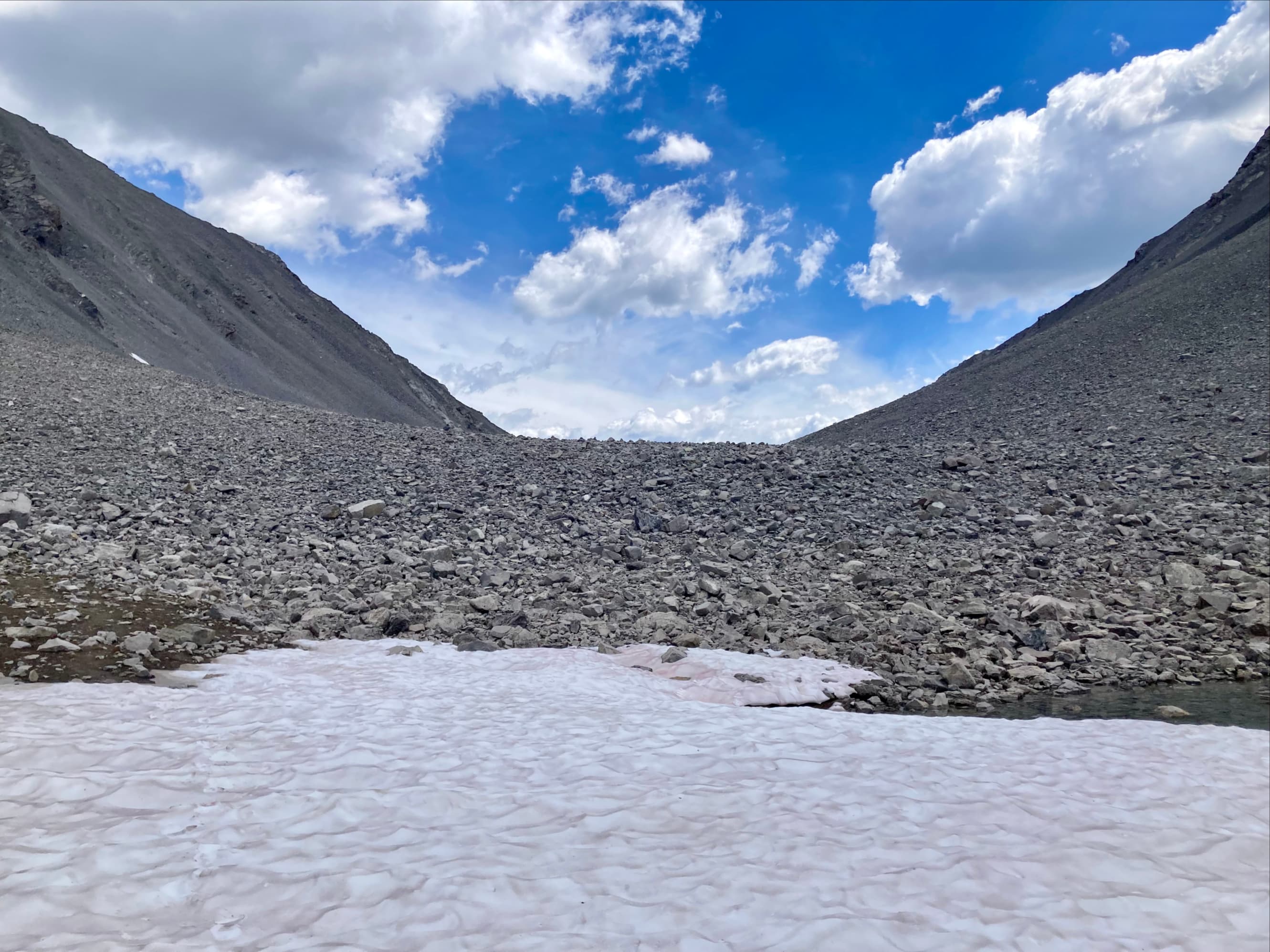
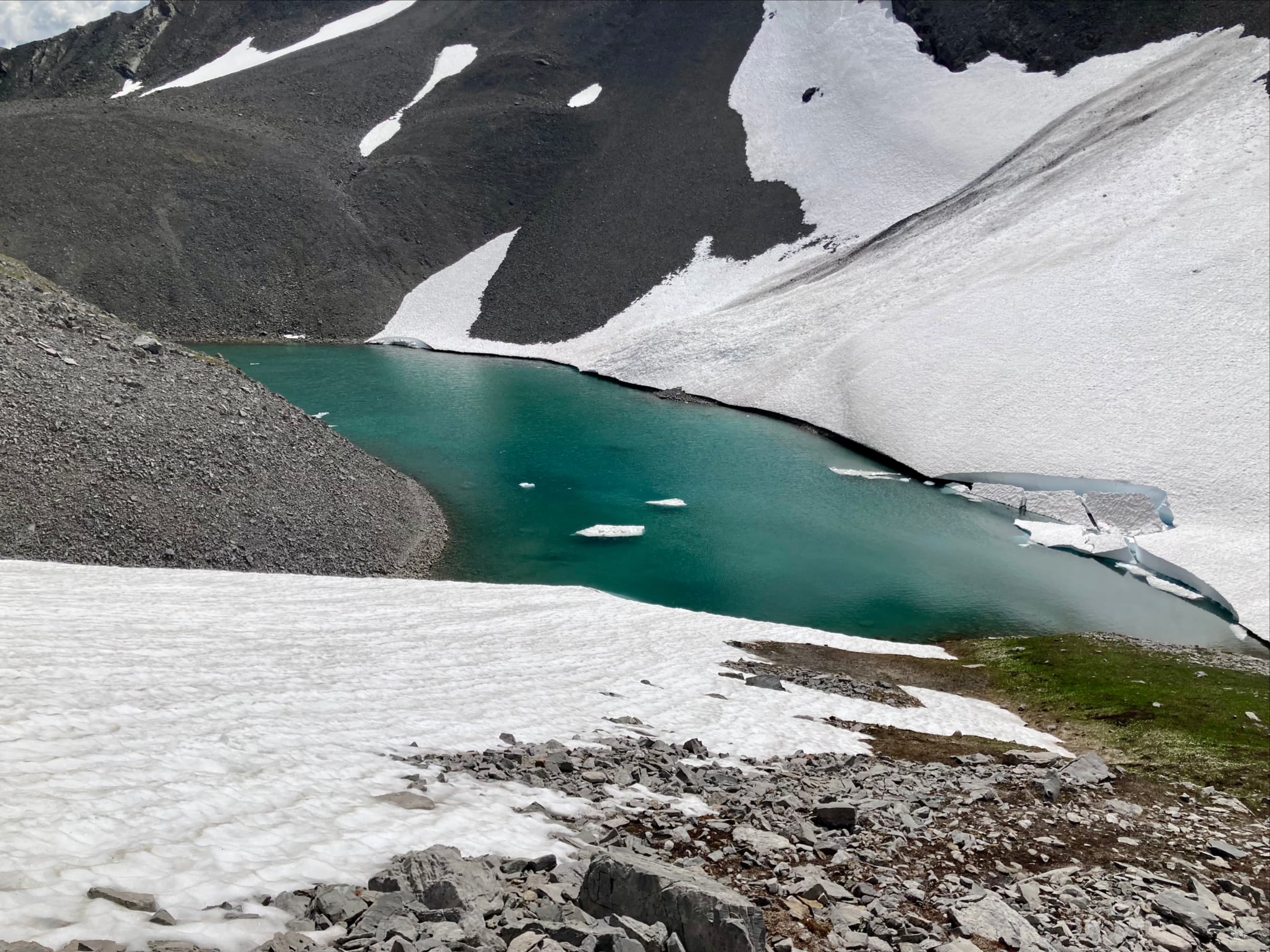
After our break we pushed on and reached the 2nd tarn, a few hundred meters short of the top of the pass. Unfortunately, here we encountered a large snow patch that was fairly steeply inclined with a runout directly into the waters of the tarn. We all agreed to make this the end of our trip. While we didn’t make it to the top of the pass, we still were treated to great views and engaging hiking. Extending the trip beyond Rummel Lake was definitely worthwhile.


I haven’t been to Rummel Lakes in a couple of years. This is a great reminder 🙂 Maggie
LikeLike
Beautiful!!
LikeLike
Hey Par
Have you ever climbed Holy Cross Mountain lower down in Kananaskis near hwy 940? I’m looking to do that perhaps this his fall.
David
LikeLike
Not yet, but it’s on the list!
LikeLike
Hey Par
Have you ever climbed Holy Cross Mountain further south in Kananaskis close to hwy 940?
Looking to do this one perhaps this fall….
David
LikeLike