July 27, 2024. Scrambling to the summit of a “10,000-er” along Glacier National Park’s Going-to-the-Sun Road.
- Region: Glacier National Park, Montana. Traditional Territory of the Kootenai, Blackfeet, Salish and Pend D’Oreille peoples
- Distance: 14.27 km round-trip
- Total Ascent: 1225 m
- Elevation of Objective: 3054 m
- Total Time: 8h 6m
- Safety and Disclaimer
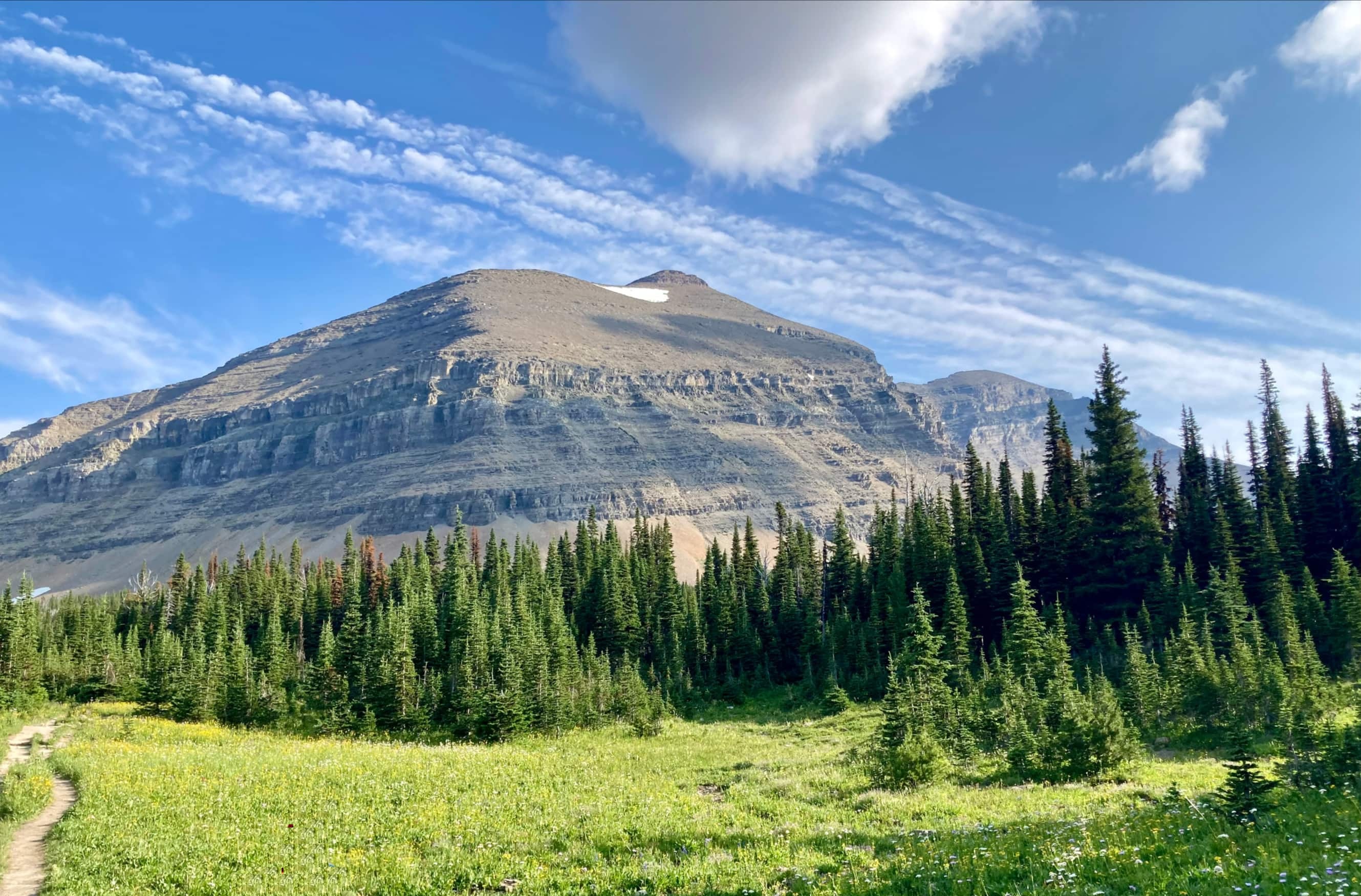
The last outing of my late July trip to Glacier was to bag the peak of Mount Siyeh. This mountain sits alongside the Siyeh Bend section of Going-to-the-Sun Road. It is apparently the easiest 10,000-er to climb in the park. We found it to be straightforward aside from the crux, which involved a somewhat tricky ascent through an upper cliff-band. The weather was favourable and the smoke was much thinner that it had been in previous days. Overall, it was an enjoyable day of scrambling.
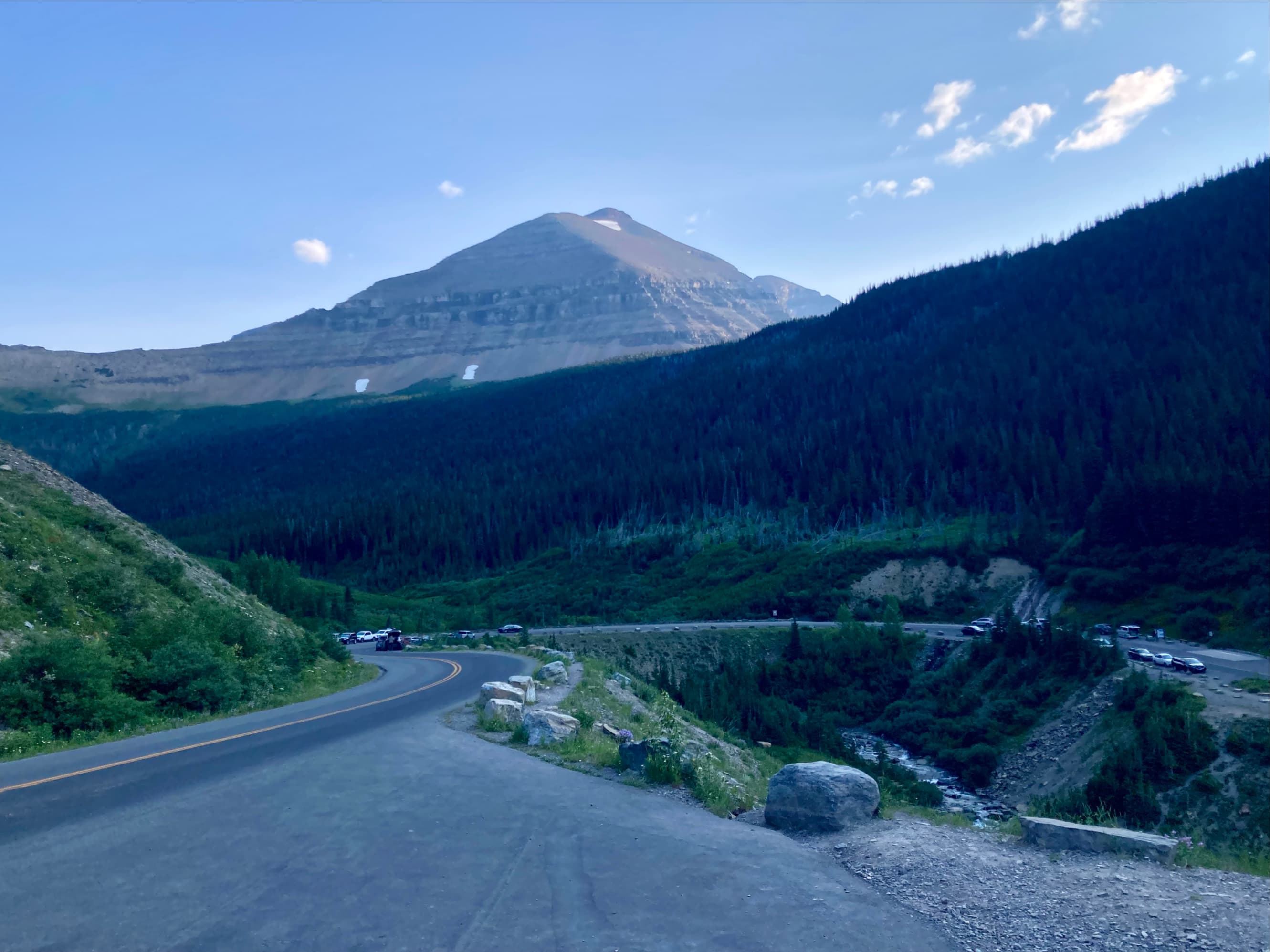
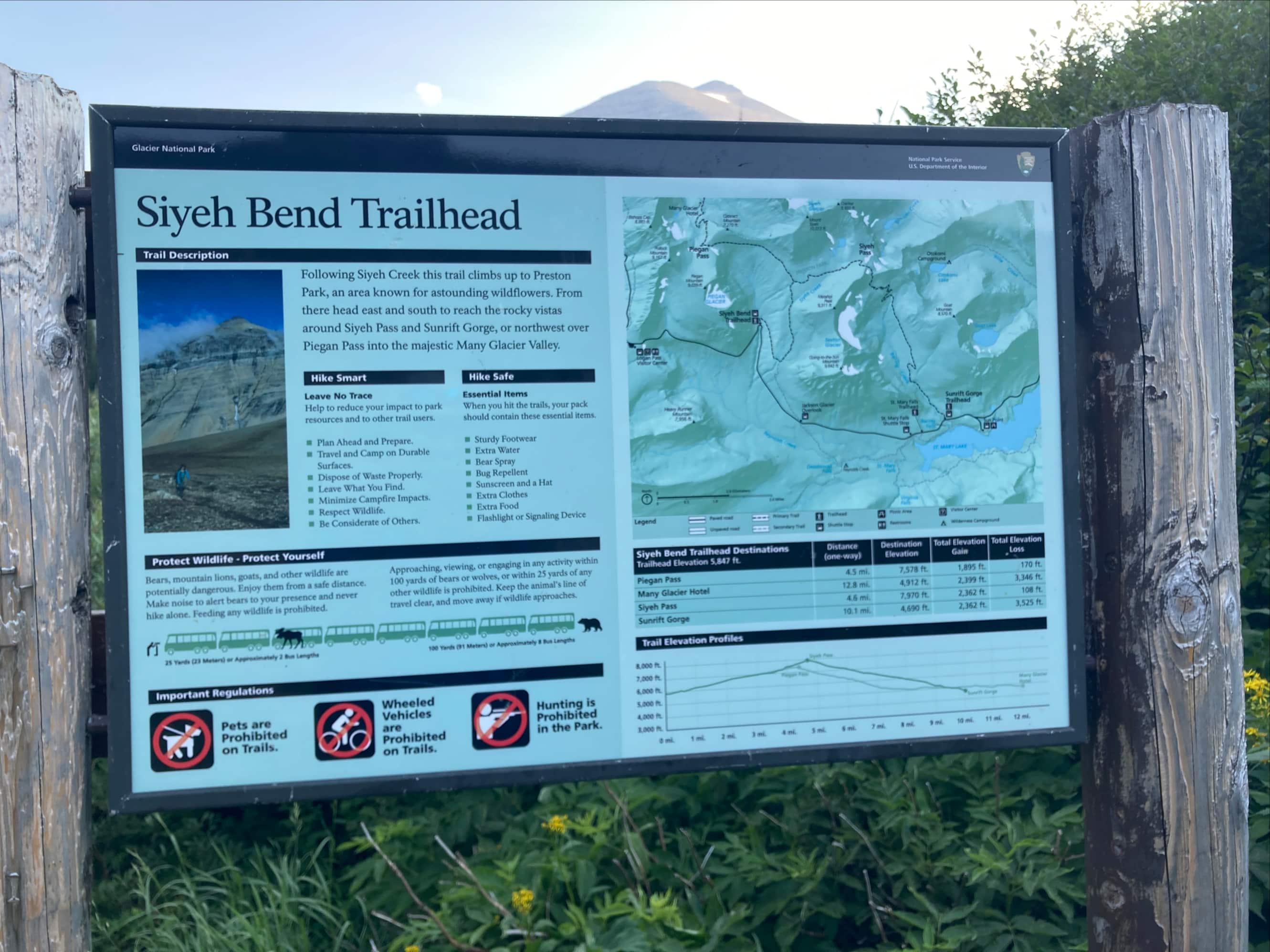
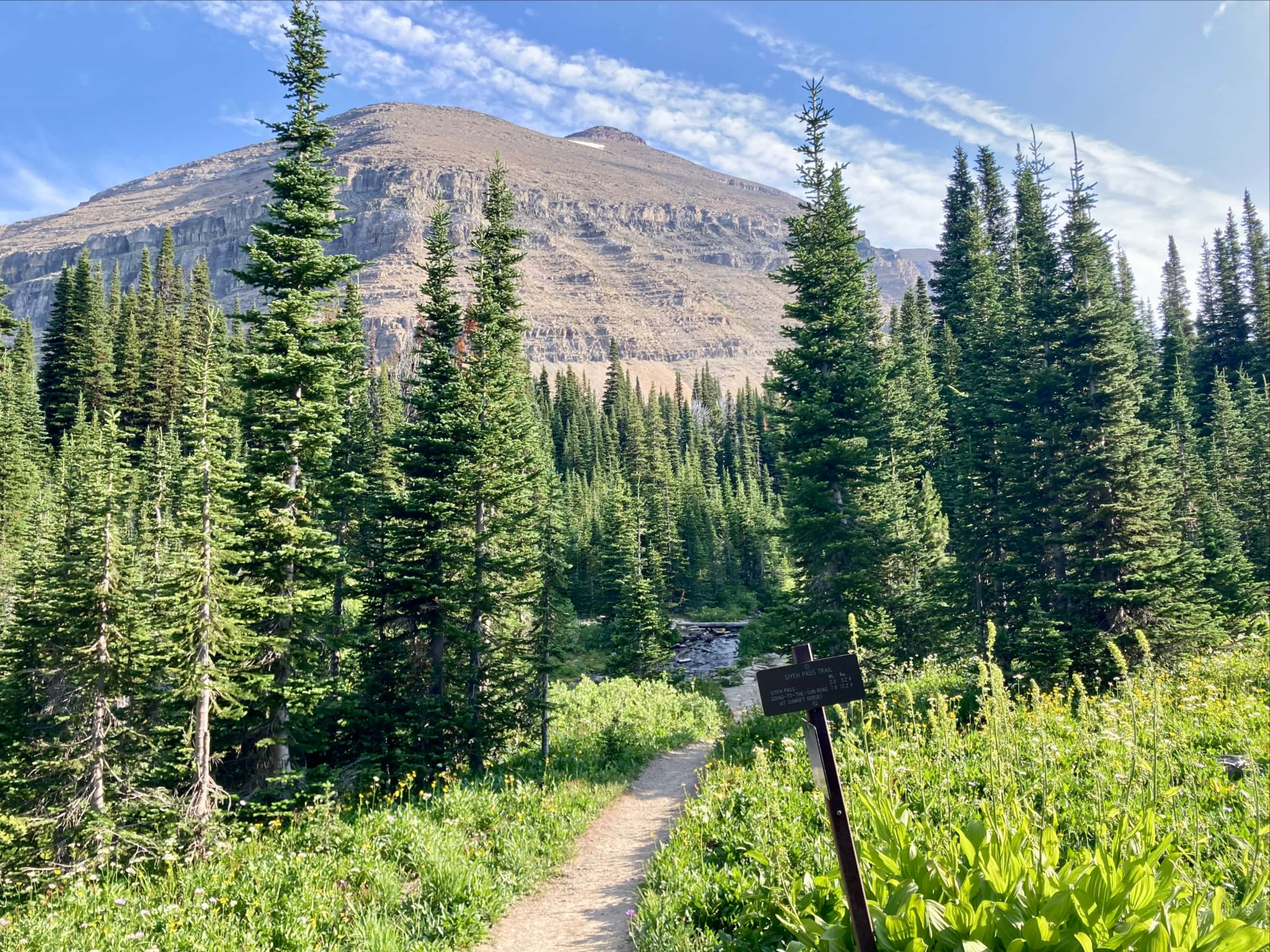
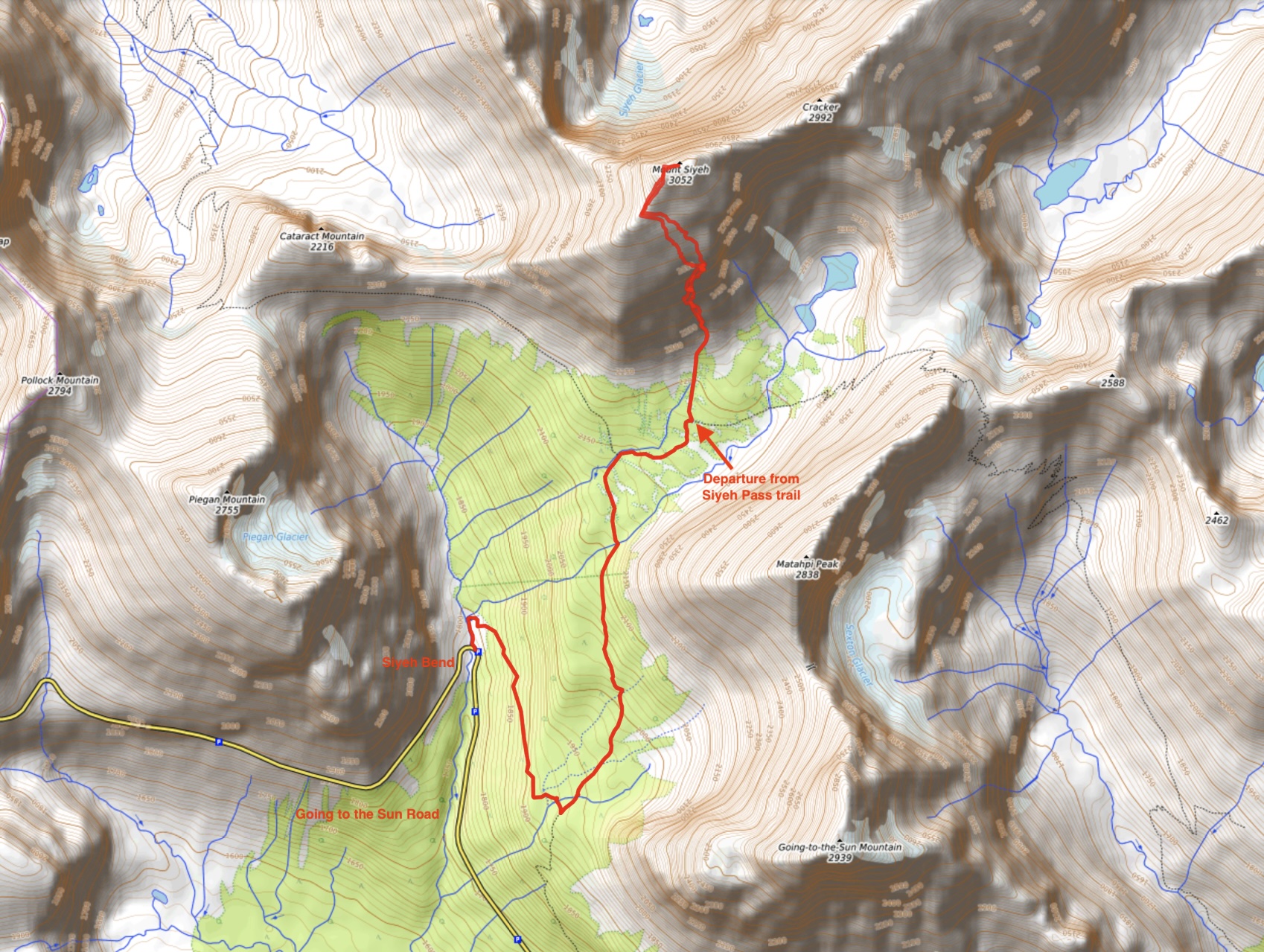
Access is via the Siyeh Pass trailhead, at the Siyeh Bend area of Going-to-the-Sun road. Depending on the season and the direction you approach from you may or may not require a vehicle pass – check the official website for the most up-to-date information. Keep in mind that these need to be purchased in advance. In 2024 a portion of the passes are made available 120 days in advance and the rest at 7pm for next-day entry. No pass was required if accessing GttS Road from the St. Mary side, which is what we used. It’s possible that this changes in future years.
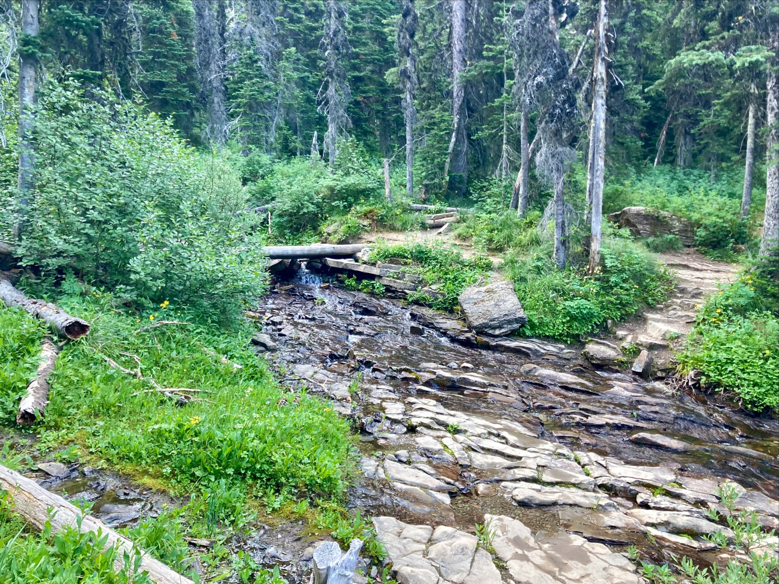
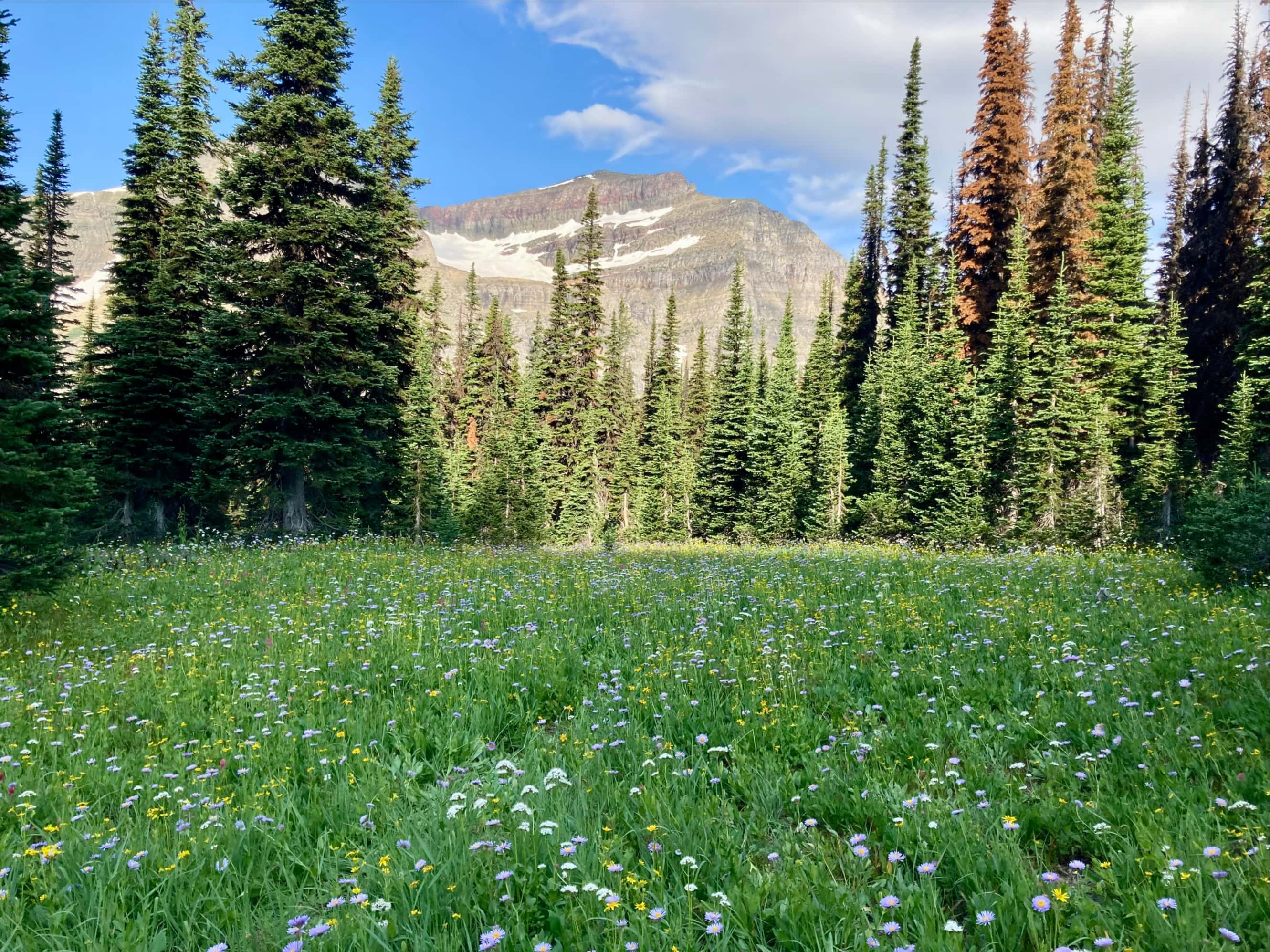
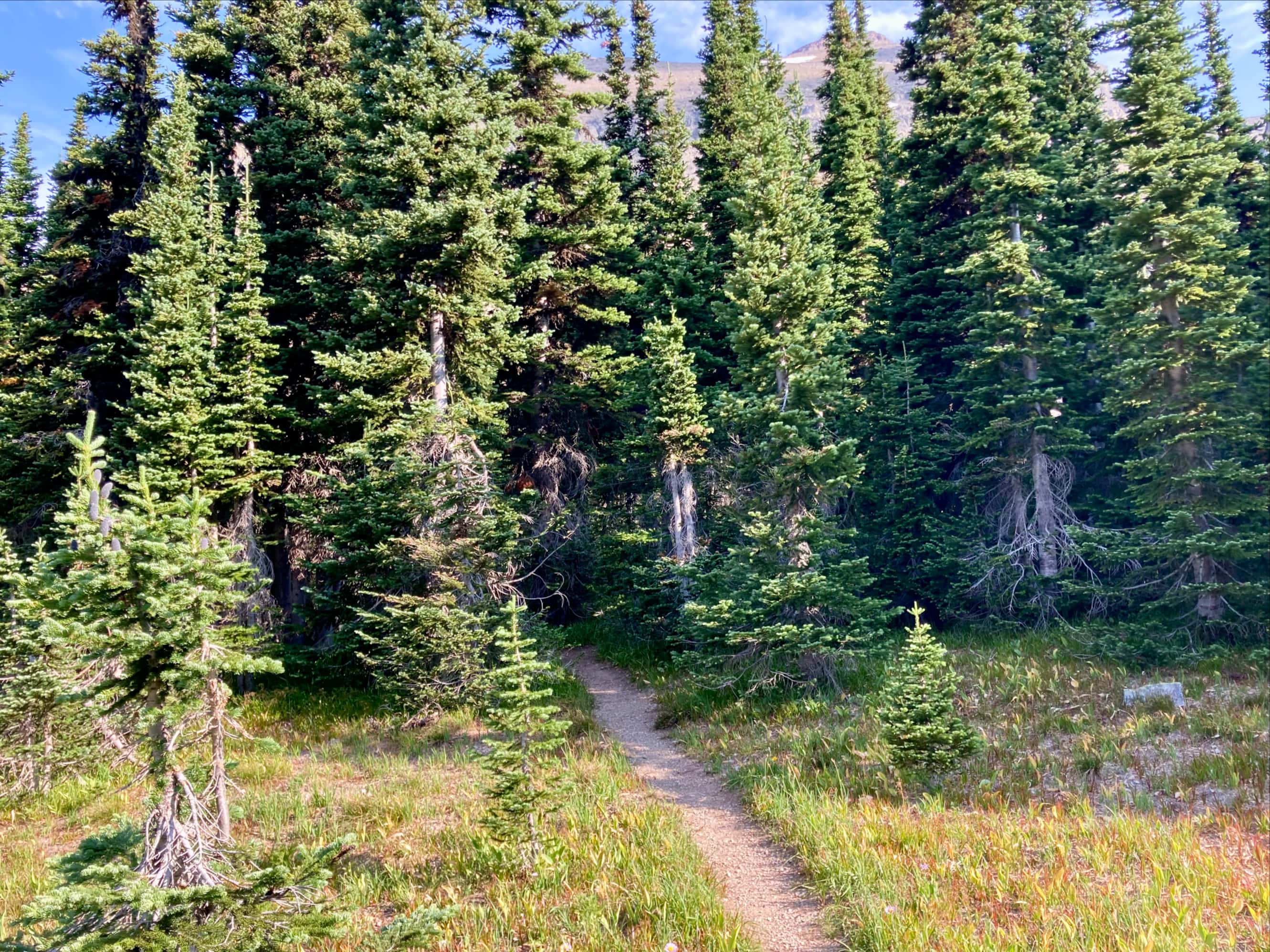
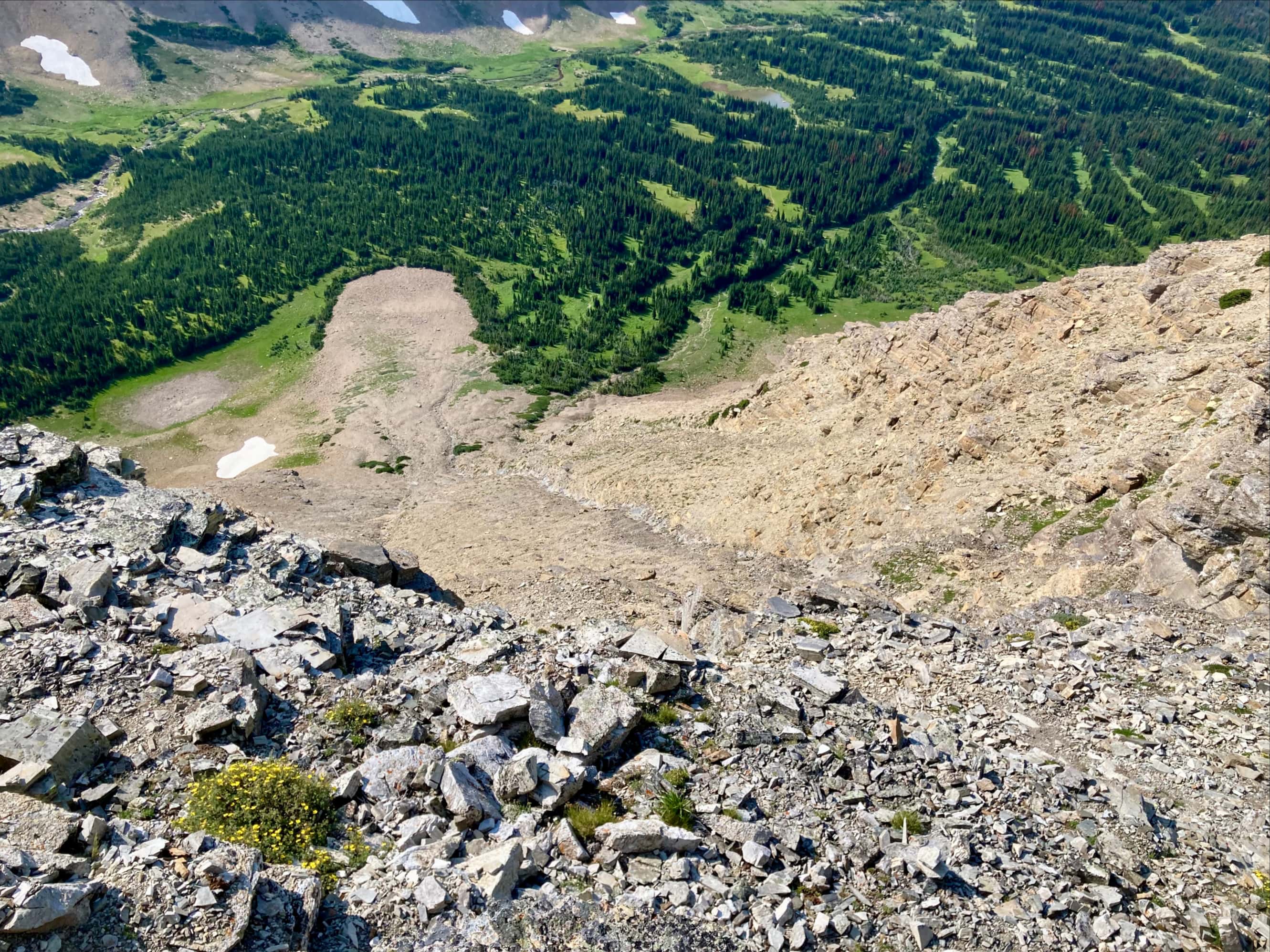
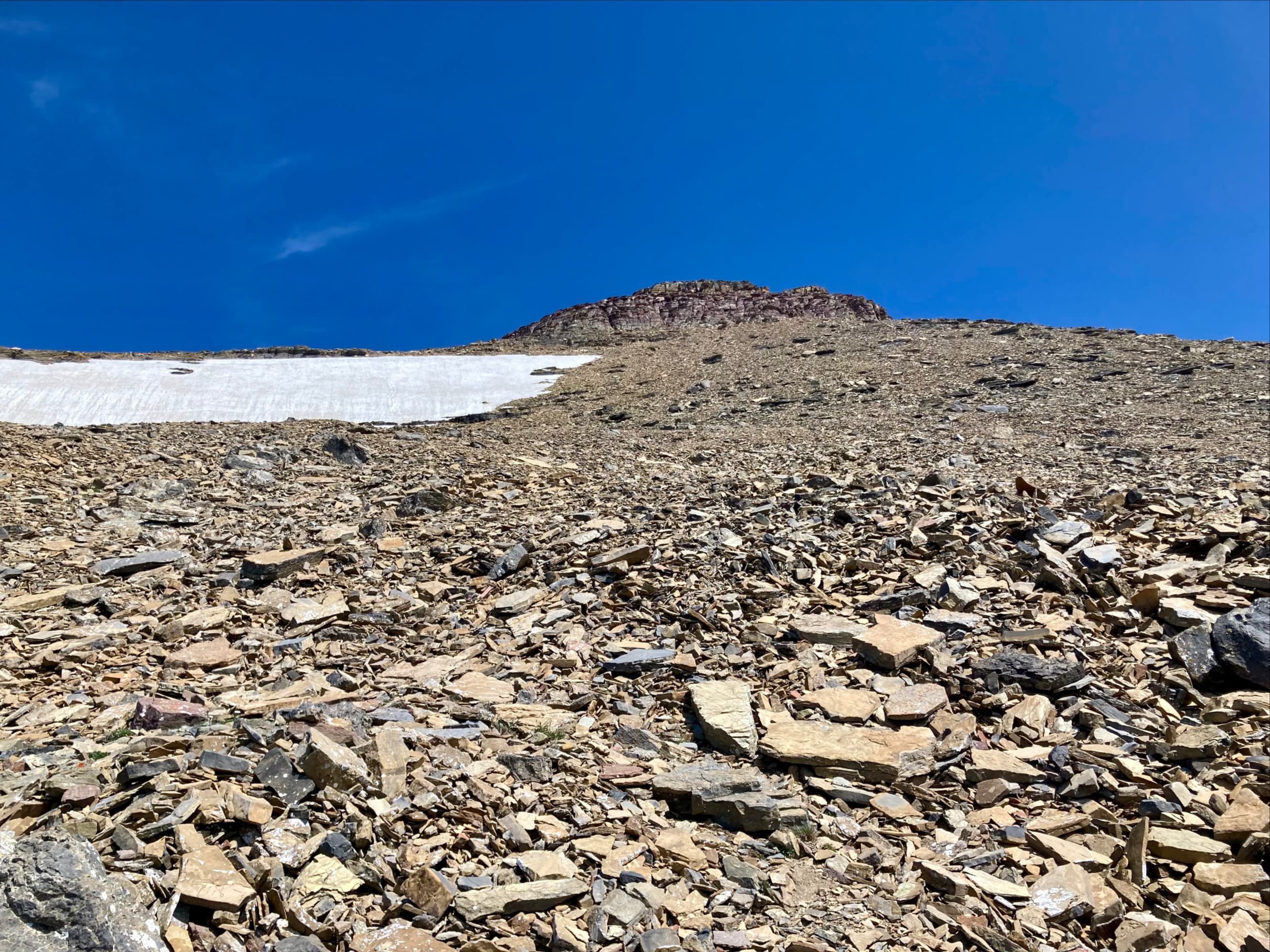
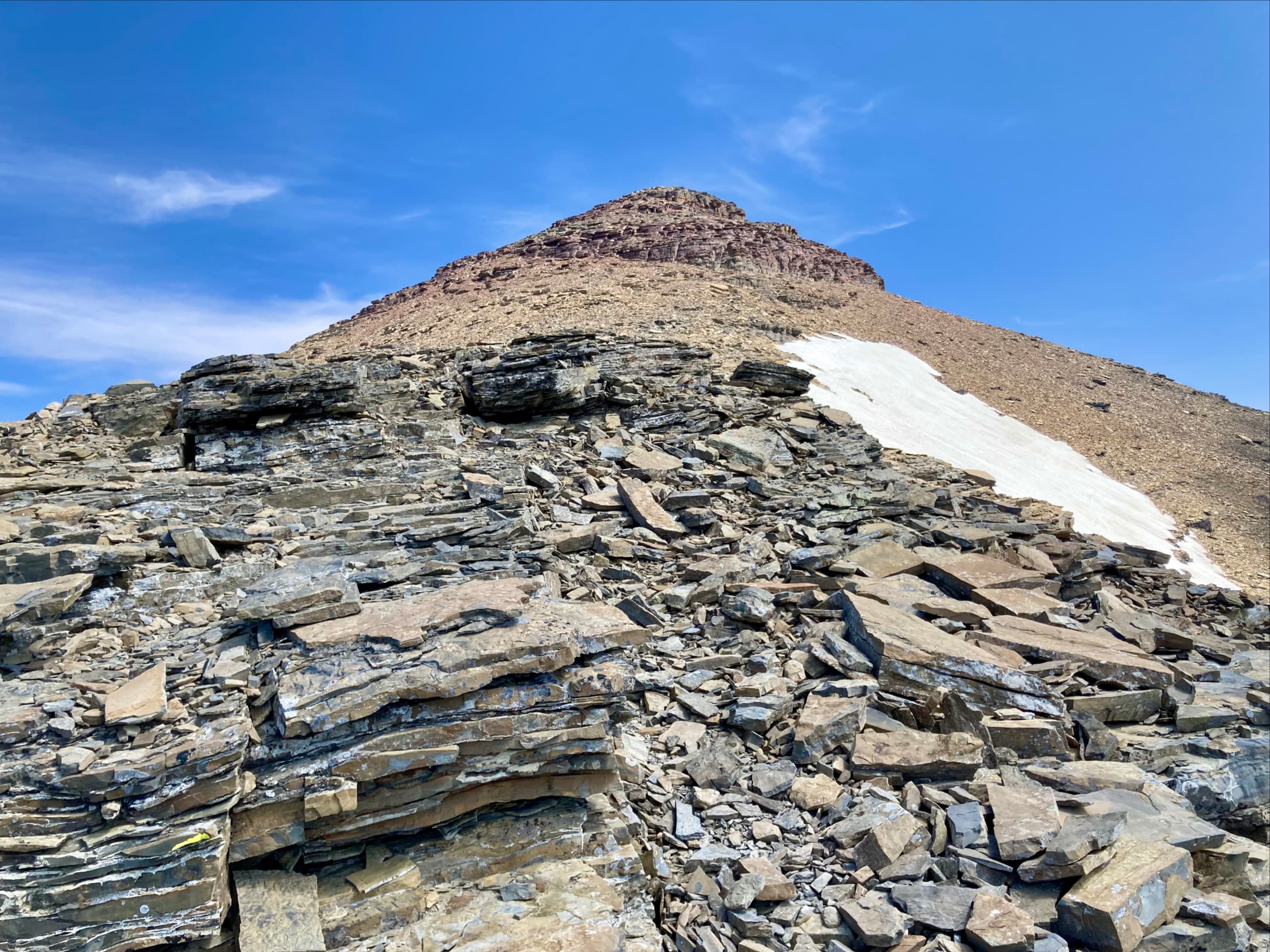
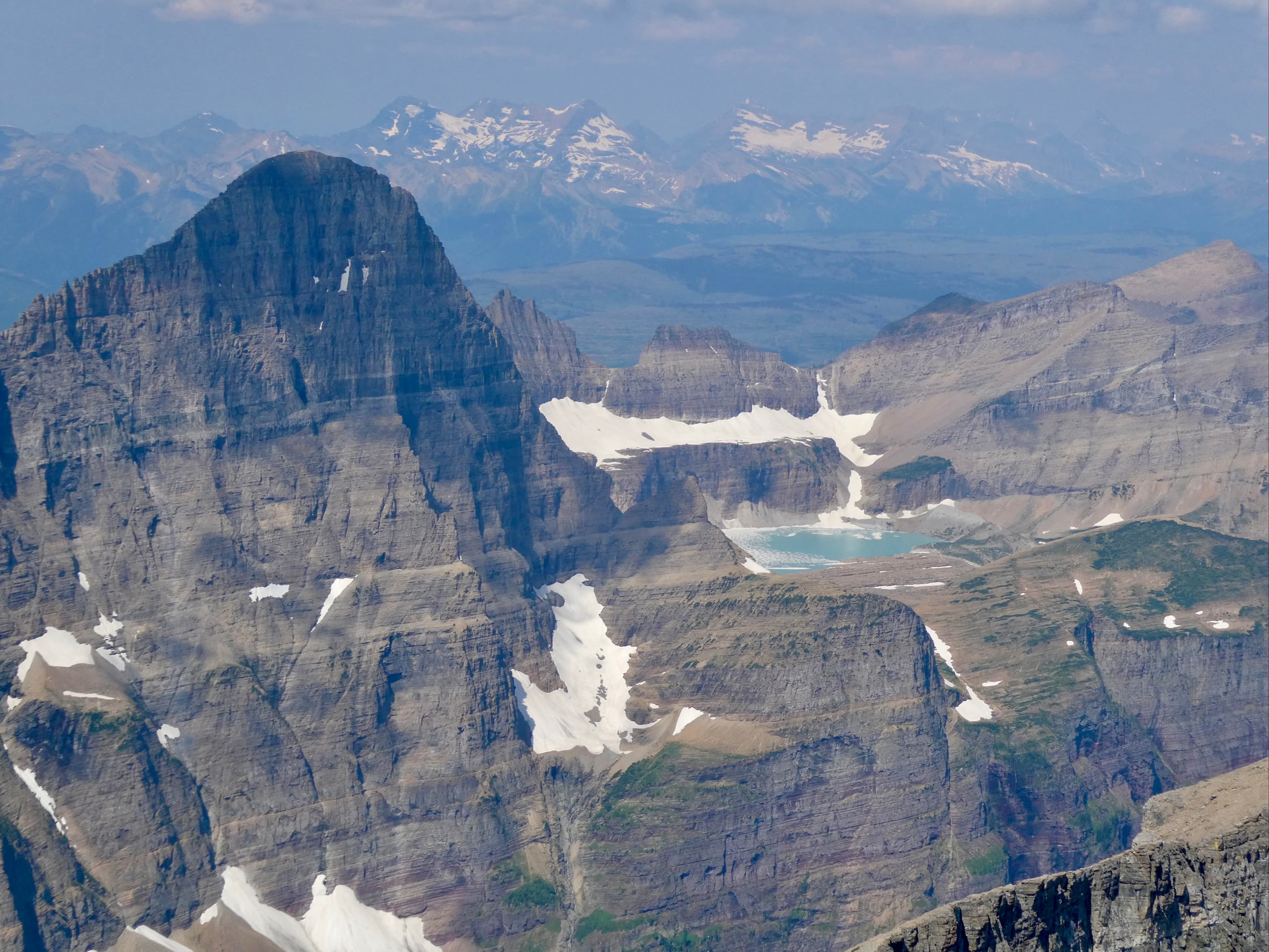
The route follows the Siyeh Pass trail for roughly 4.9 km. At this point, about 600 m beyond the fork in the trail that leads to Piegan Pass, the trail makes a right-angle turn from north to east. Departing into the trees at this point is an obvious path heading north. We actually saw 2 of these – one was more or less at the turn in the path, the other was a short distance further along the trail. We took the 2nd one and it led us towards the foot of the mountain alongside a dry creek bed. We ascended a rubble pile at the bottom of a drainage then got onto scrambling terrain. This ascent was fairly straightforward. Along the line we were following we encountered the occasional cairn. We eventually reached the Purcell Sill – the white/black/white stack of metamorphic and igneous rock that is visible like a racing strip on many of Glacier and Waterton’s mountains.
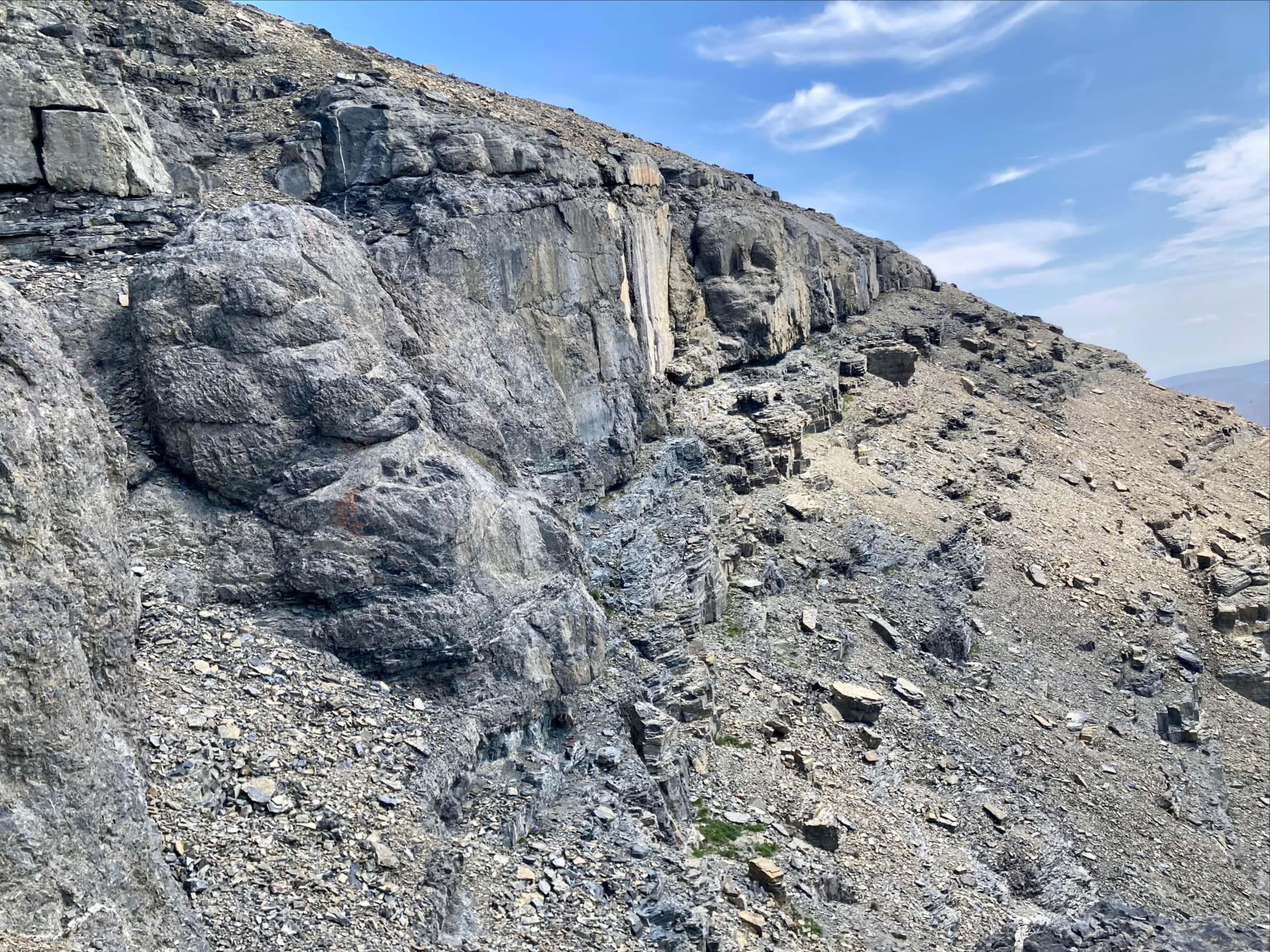
After ascending through the black rocks we were stopped by a low cliff band. We traversed to the right under the cliffs until we found a weakness – a narrow cleft with step-like blocks of white rock. Climbing through this crux required a bit of tentative scrambling, mostly because there were piles of loose but heavy rocks sitting at the top of the cleft which could easily have been pulled down as a climber made their way up. This was also where we had a hair-raising moment: rocks came tumbling down at us from higher up the slope. The terrain funnelled them directly at one of our party members. Luckily she wasn’t injured. It turned out that there was another party some distance above us making their descent after bagging the peak earlier in the day.
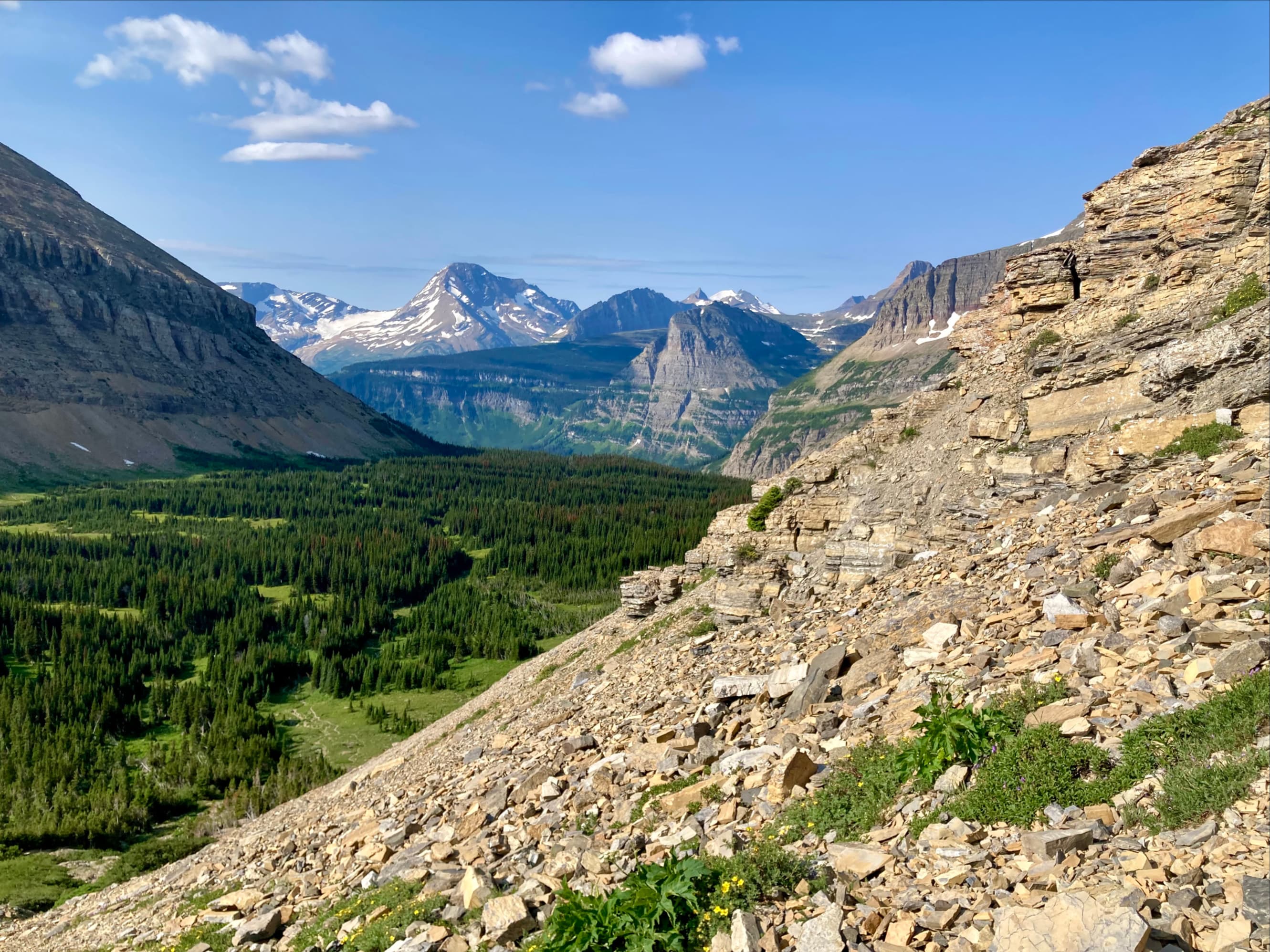
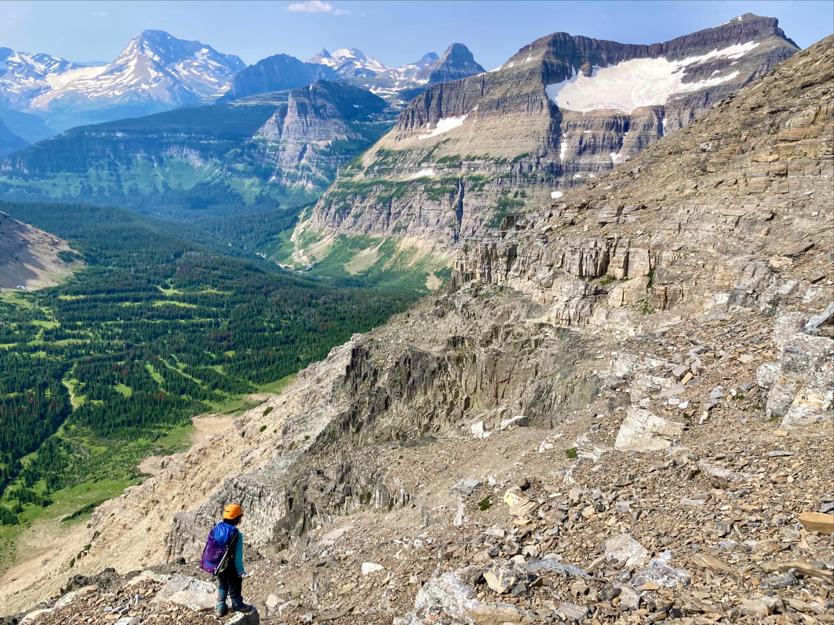
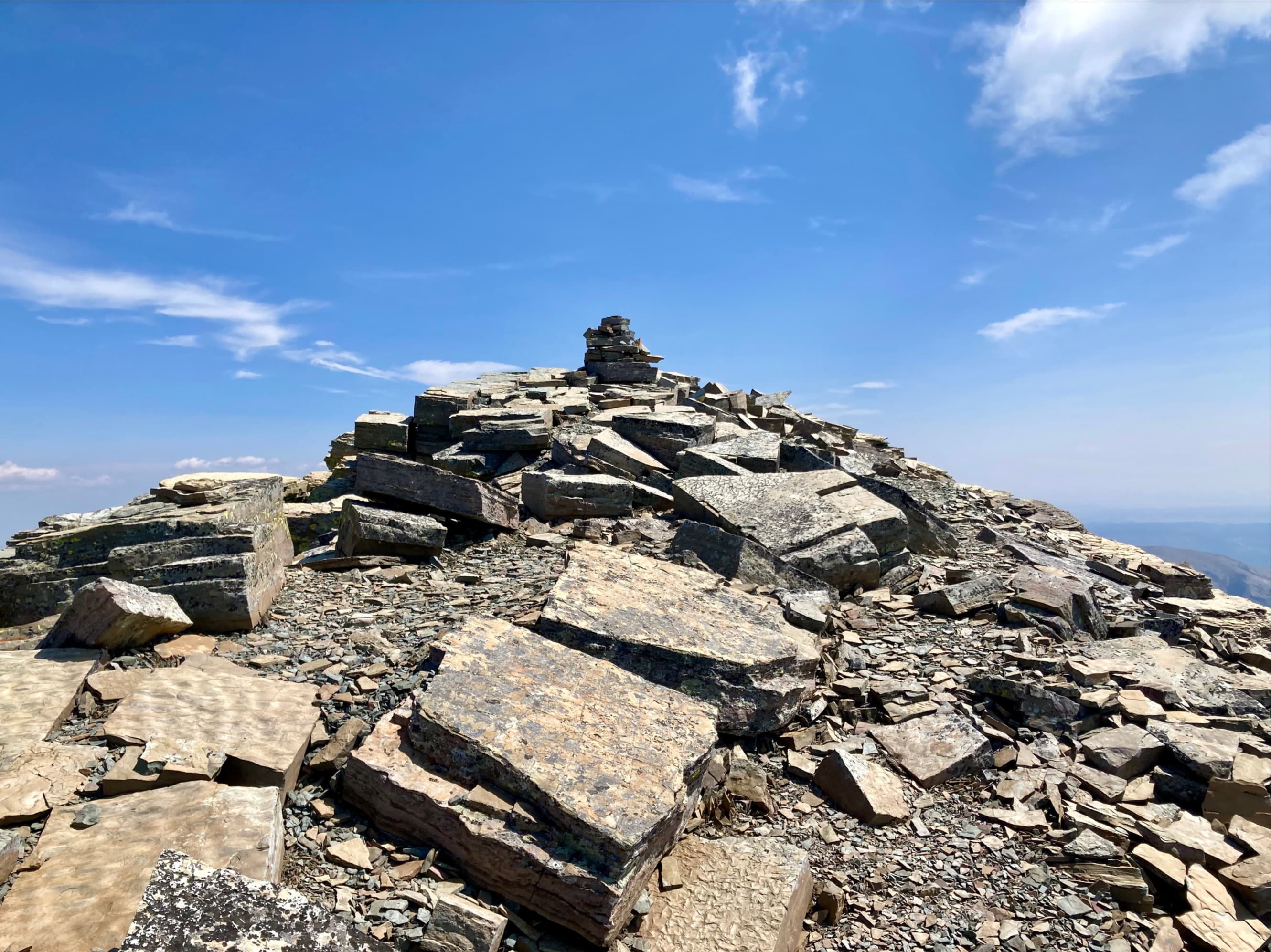
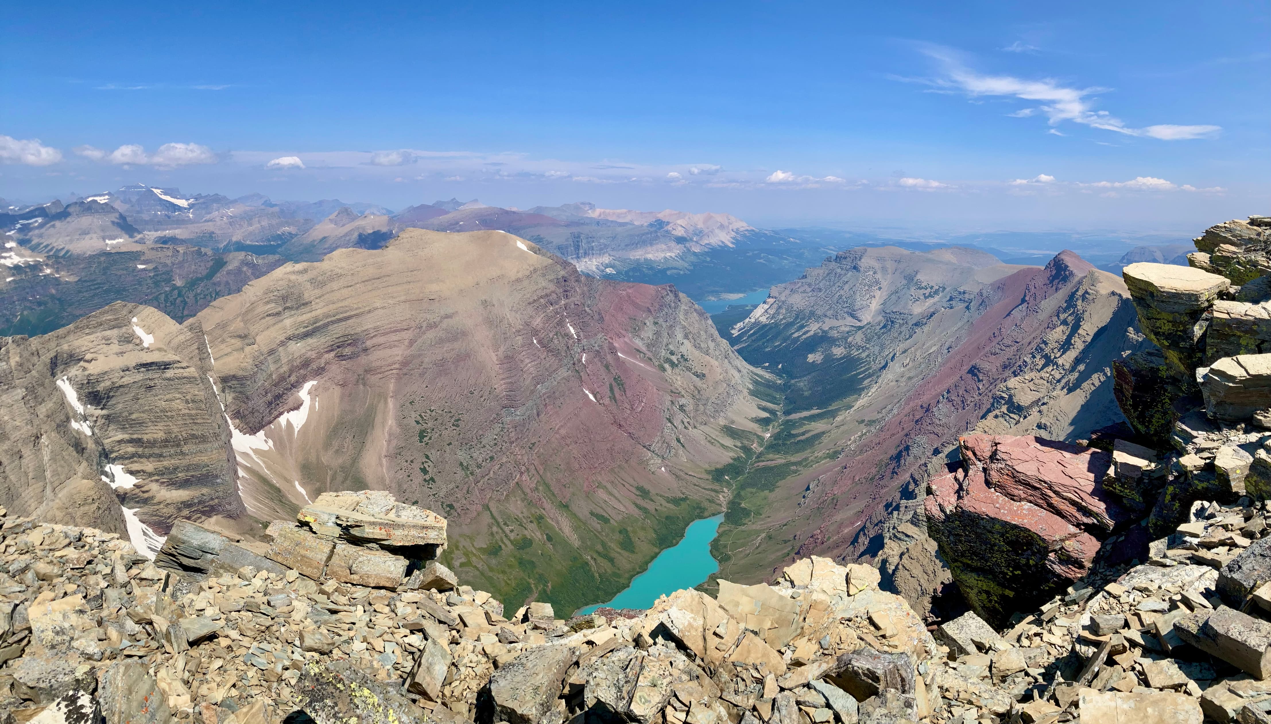
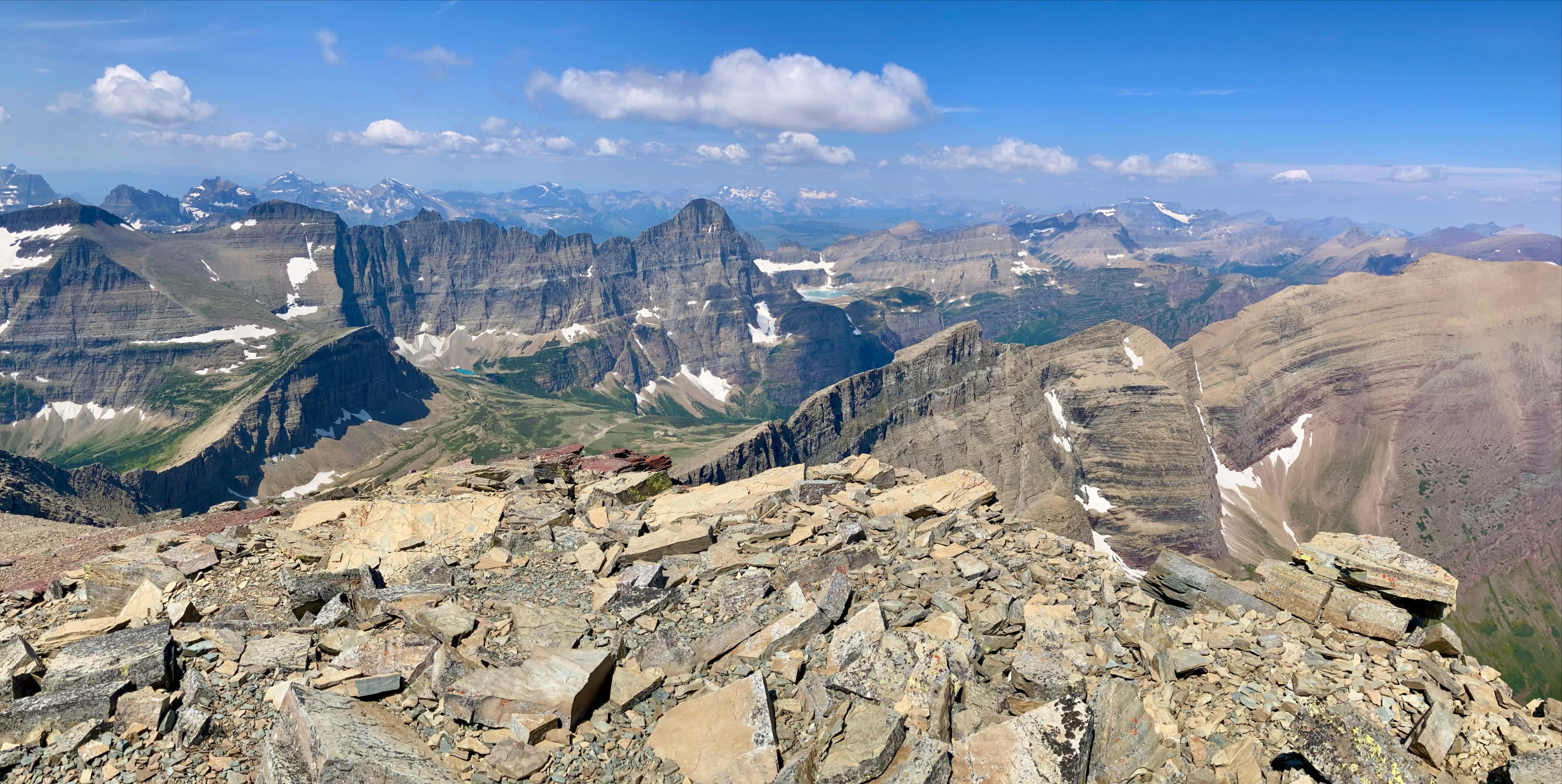
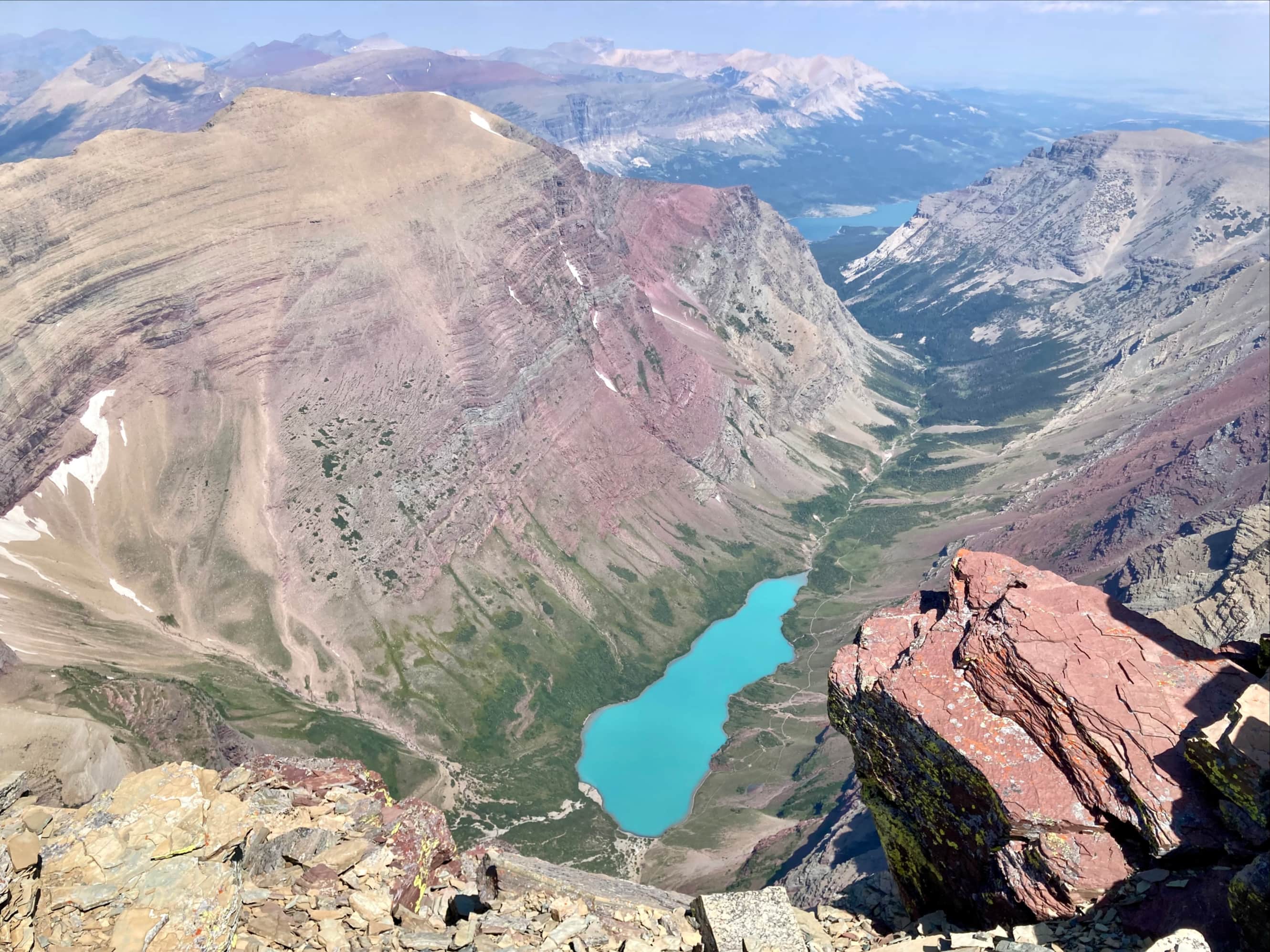
Above the crux we hiked up steep slopes, trending left a bit until we reached the ridge. From there we turned right and walked up the ridge to the summit. The summit views were excellent, particularly the view down to Cracker Lake to the north and Grinnell Glacier to the northwest. There was a bit of a cold wind at the top, but we were able to take some time to enjoy the views before heading down.
Our descent followed a slightly different path – we backtracked until we were above the crux. From there we traversed skier’s right following a visible path and series of cairns. Both of these petered out after a while (or we lost the route) but they got us below the cliff bands and from there we picked our way back down to the valley bottom.