August 5, 2023. A return to Mount Haig to deal with the “unfinished business” of Gravenstafel Ridge.
- Region: Castle Mountain Resort. Traditional territory of the Tsuu T’ina, Ktunaxa, and Blackfoot First Nations
- Distance: 13.9 km loop
- Total Ascent: 1550 m
- Elevation of Objective: 2610 m (Mount Haig), 2393 m (Gravenstafel Ridge)
- Total Time: 6h 26m
- Safety and Disclaimer
Almost exactly 4 years ago I climbed Mount Haig. That day I decided to return to my car by descending down to Haig Lake and following the trails out. For whatever reason I didn’t feel like ascending adjacent Gravenstafel Ridge as part of my return, which is what the majority of scramblers (it seems) choose to do. It involves roughly 300 m of additional ascent from the Haig-Gravenstafel col but the terrain is pretty easy, and the grade is more gentle than the ascent of Mount Haig. Last week when I was on Syncline Mountain I looked south and pondered why I didn’t climb Gravenstafel Ridge when I had the opportunity. This weekend I decided to go bag the peak.
My approach and ascent of Mount Haig followed the route recorded in my prior post. I didn’t take many new pictures since the views were much more clear that day in 2019. 2023’s historic wildfire season continued to produce smokey, hazy skies. I was pleased to see that at some point between last summer (when I traversed Mount Haig on the way to Tombstone Mountain) and this summer someone has put up flagging to guide people on the correct trail through the underbrush after leaving the Paradise Lake trail and heading up to the ascent ridge of Mount Haig.
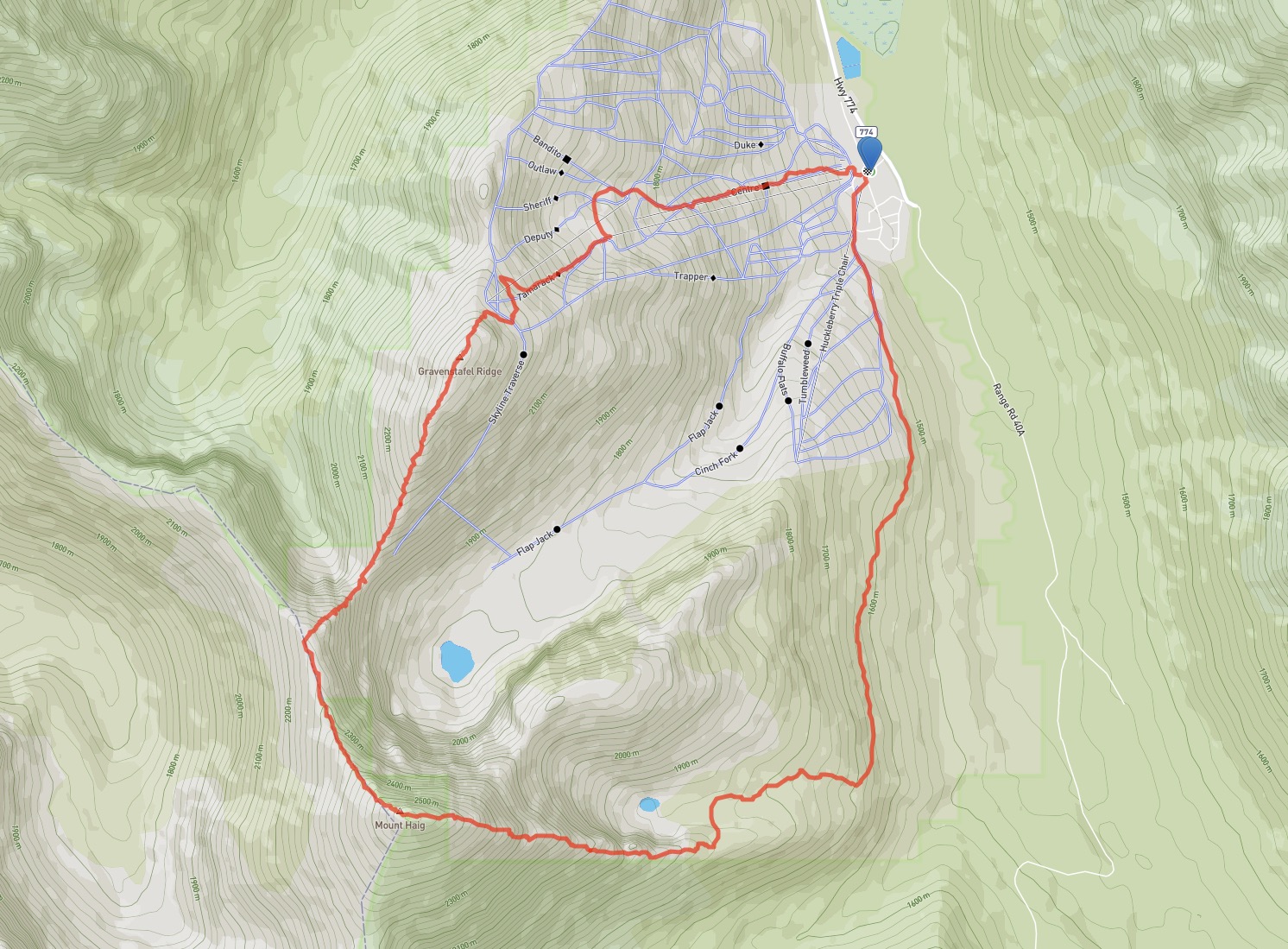
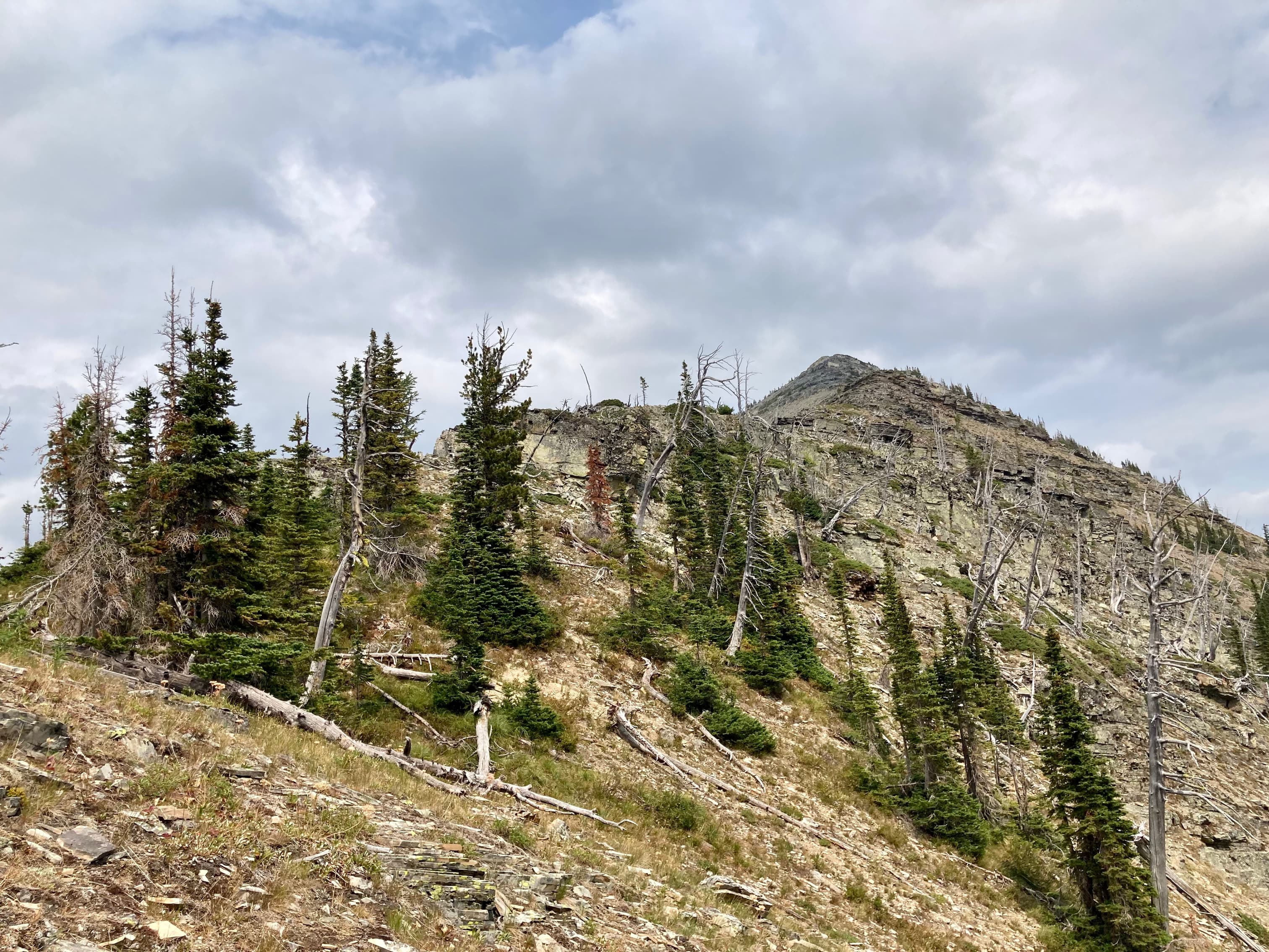
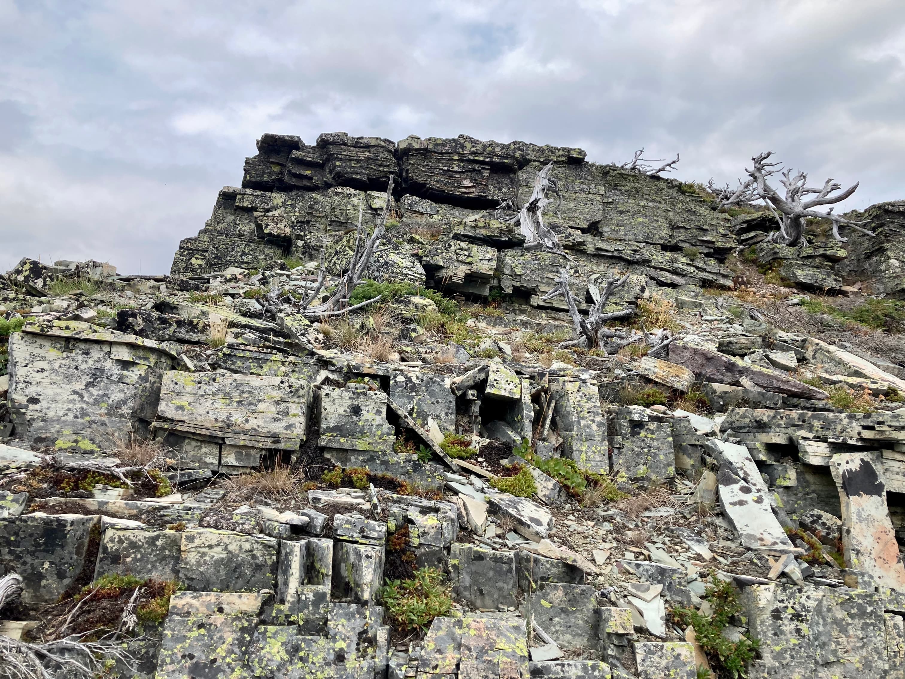
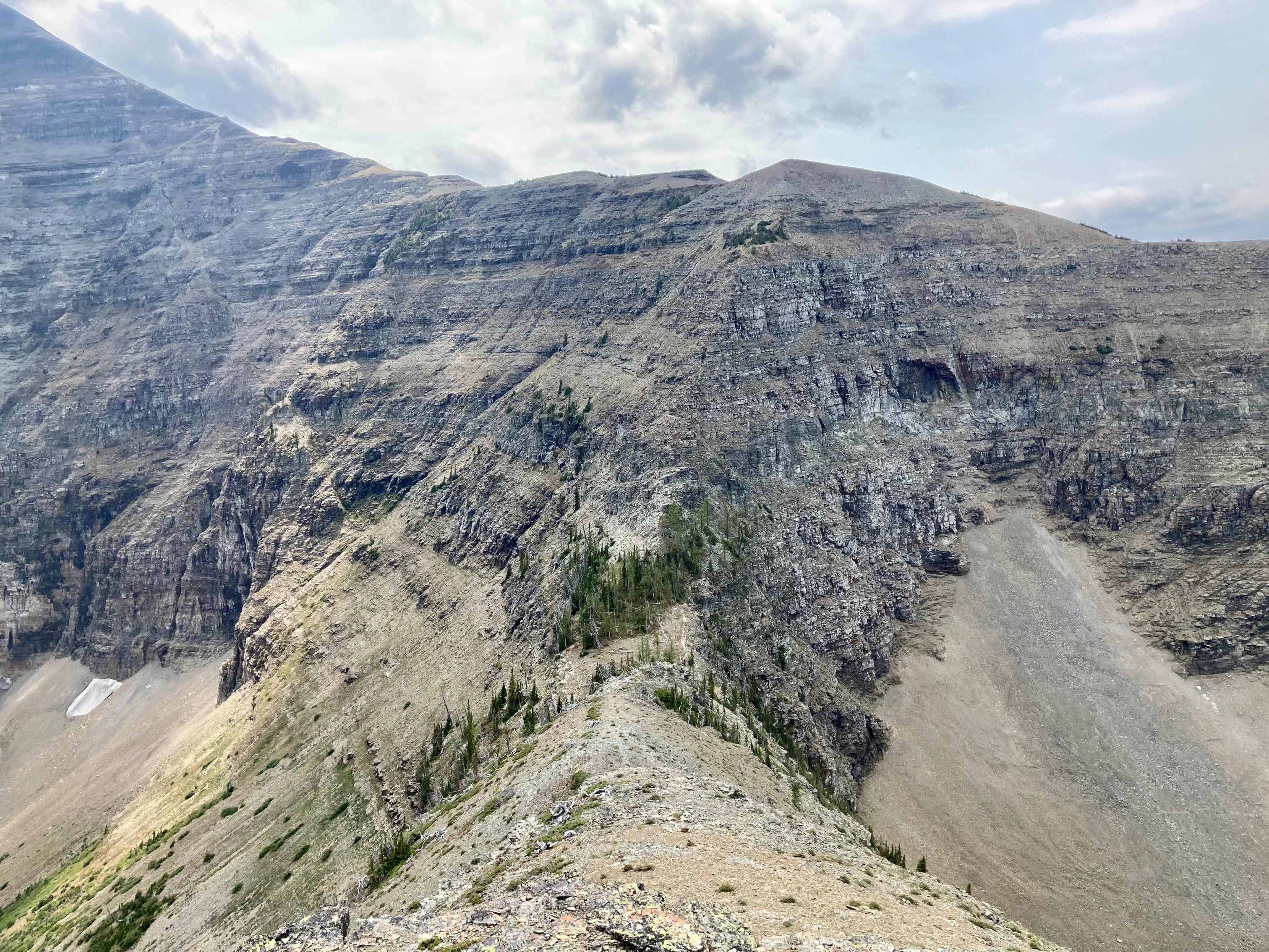
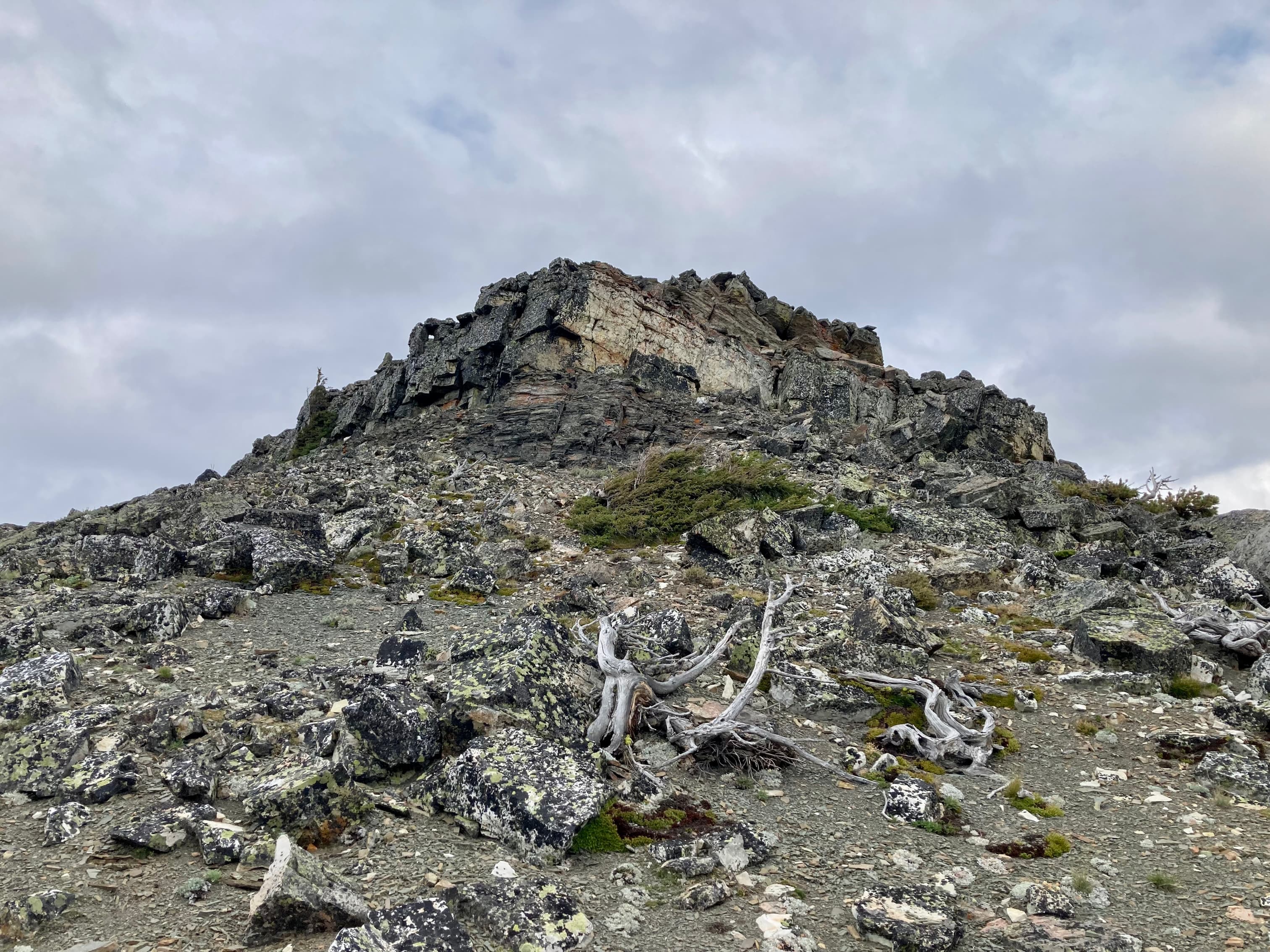
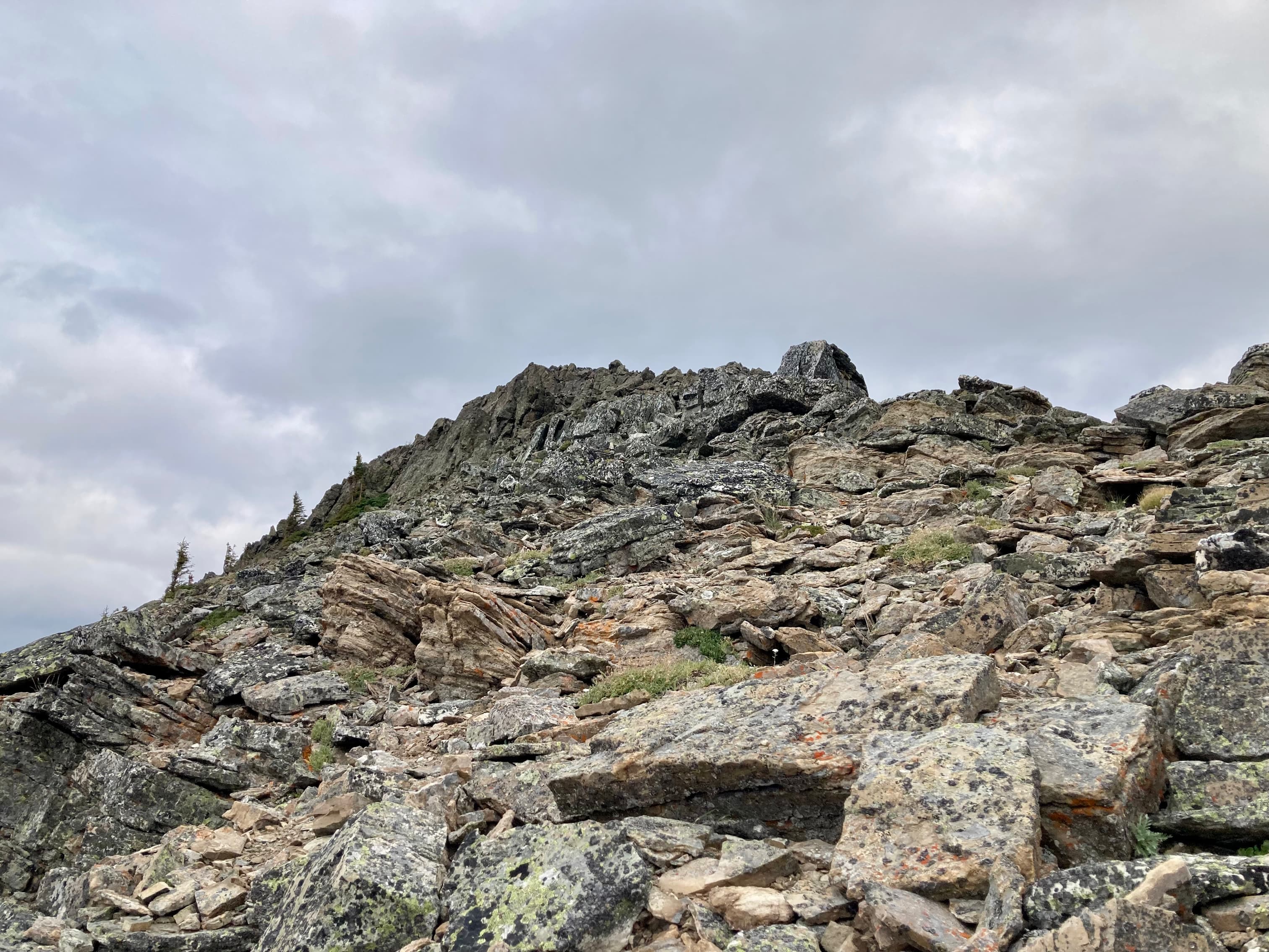
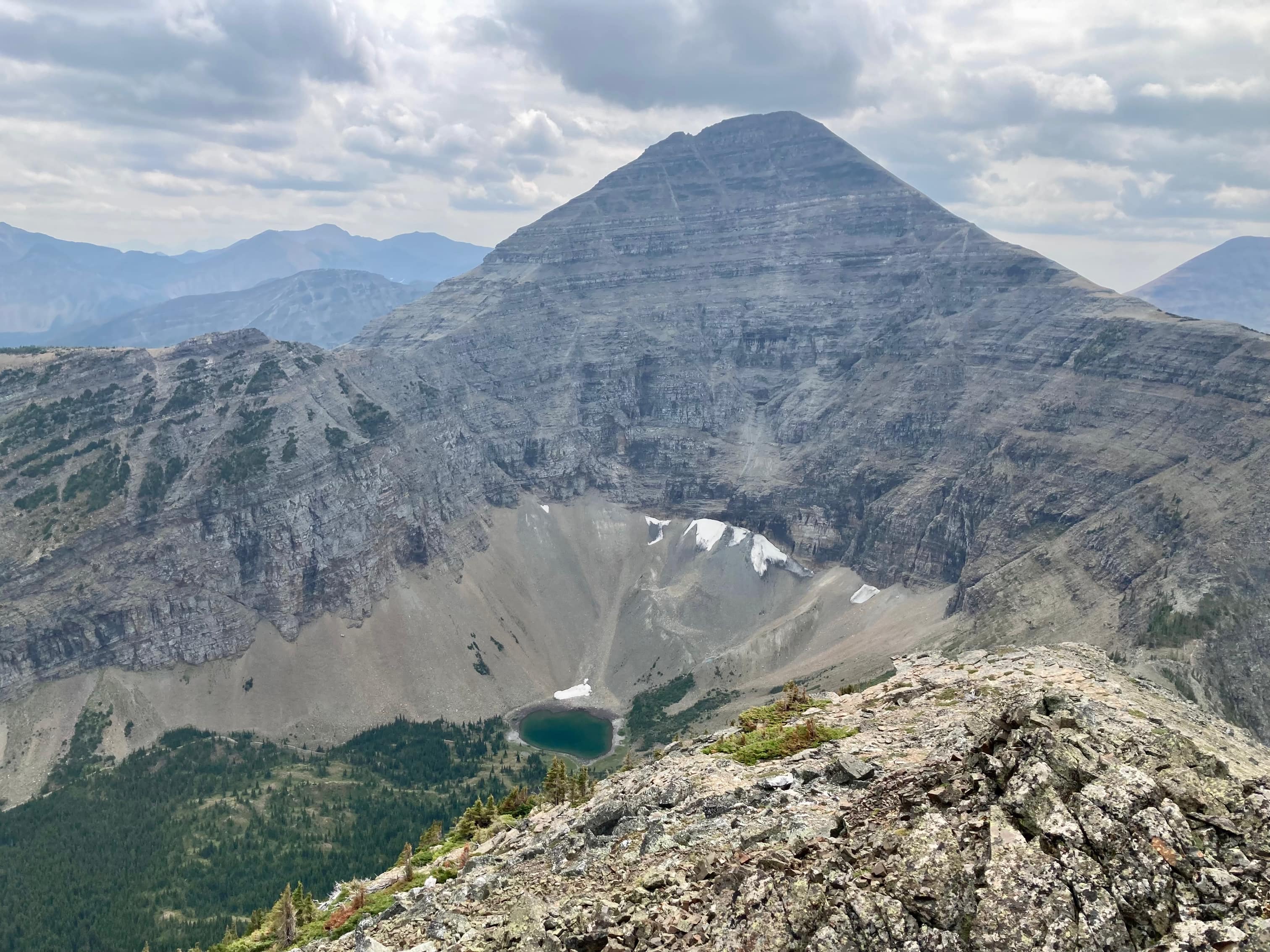
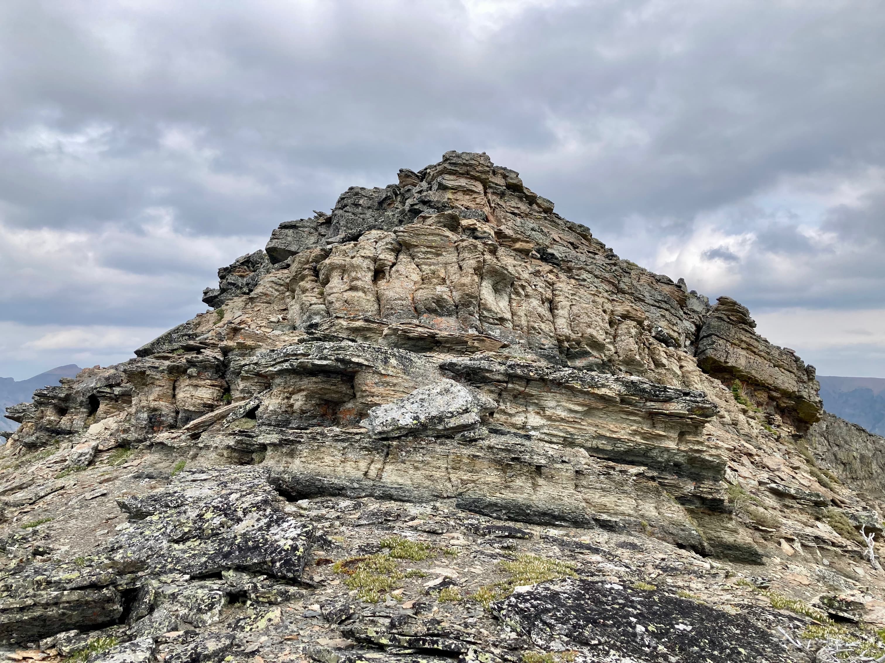
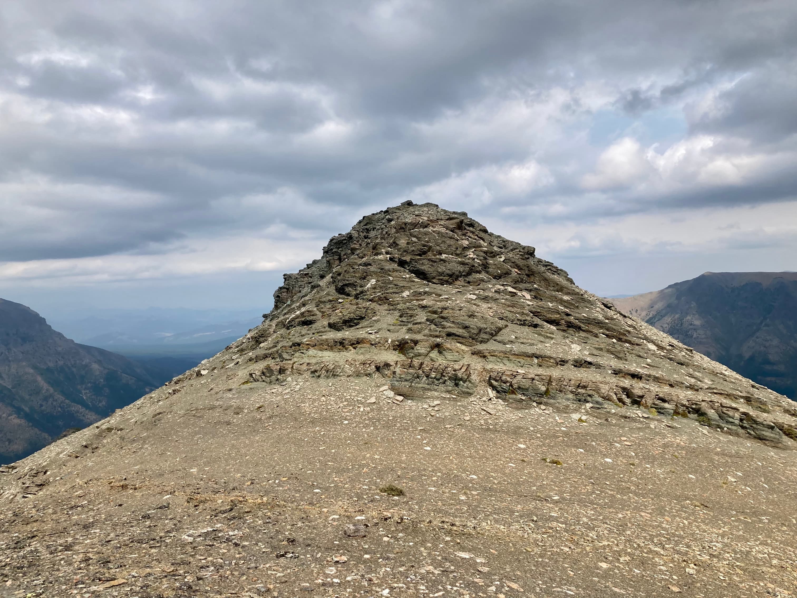
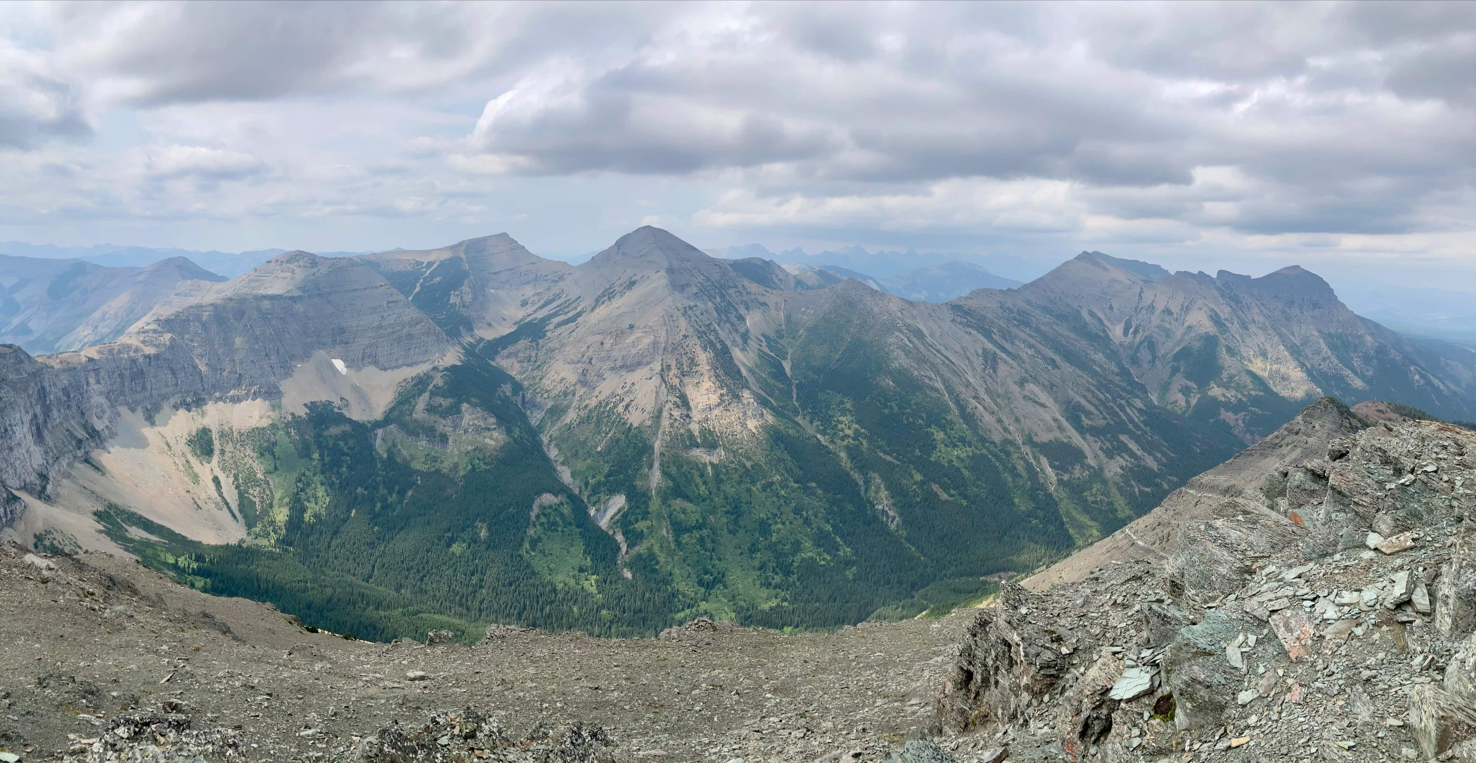
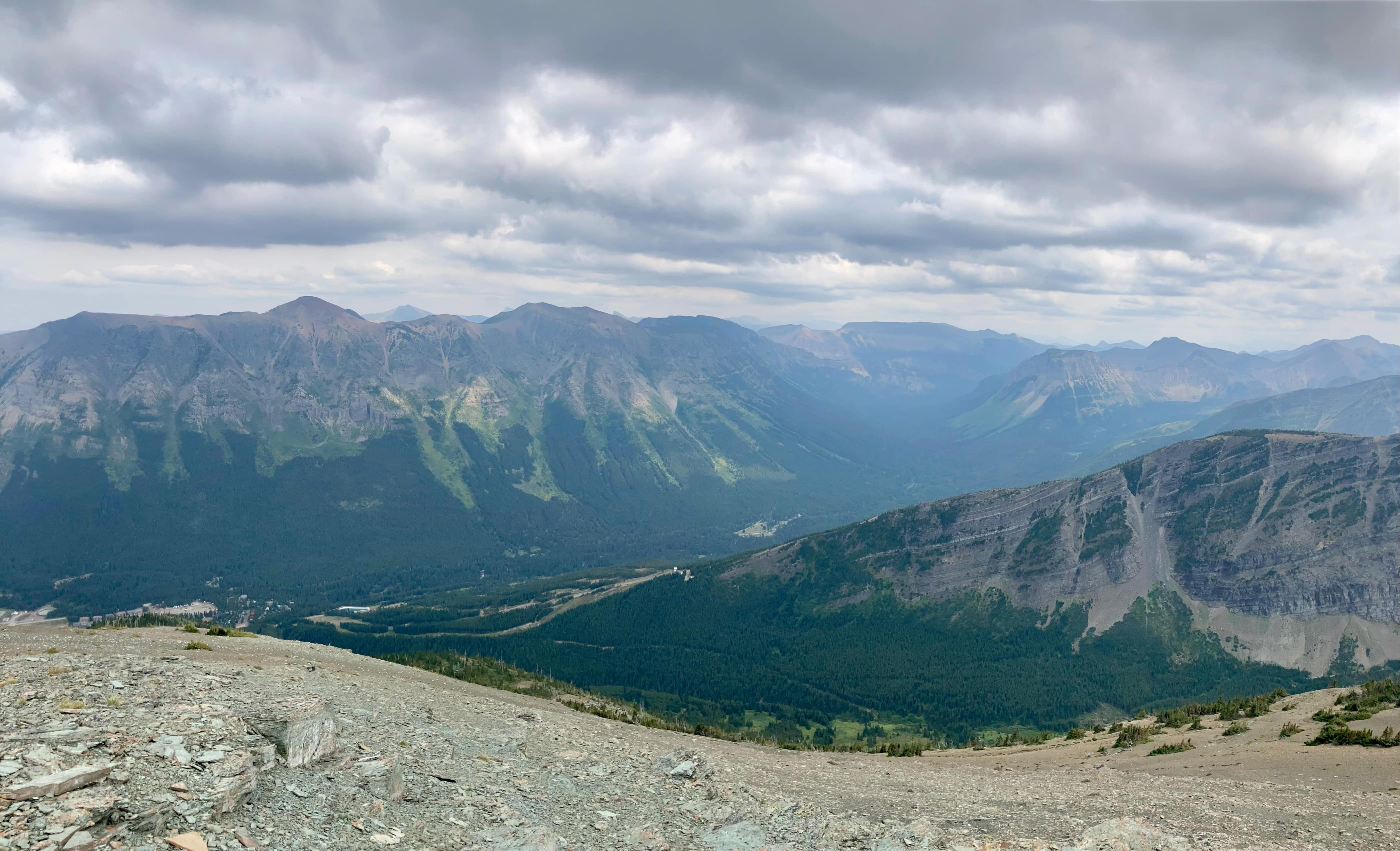
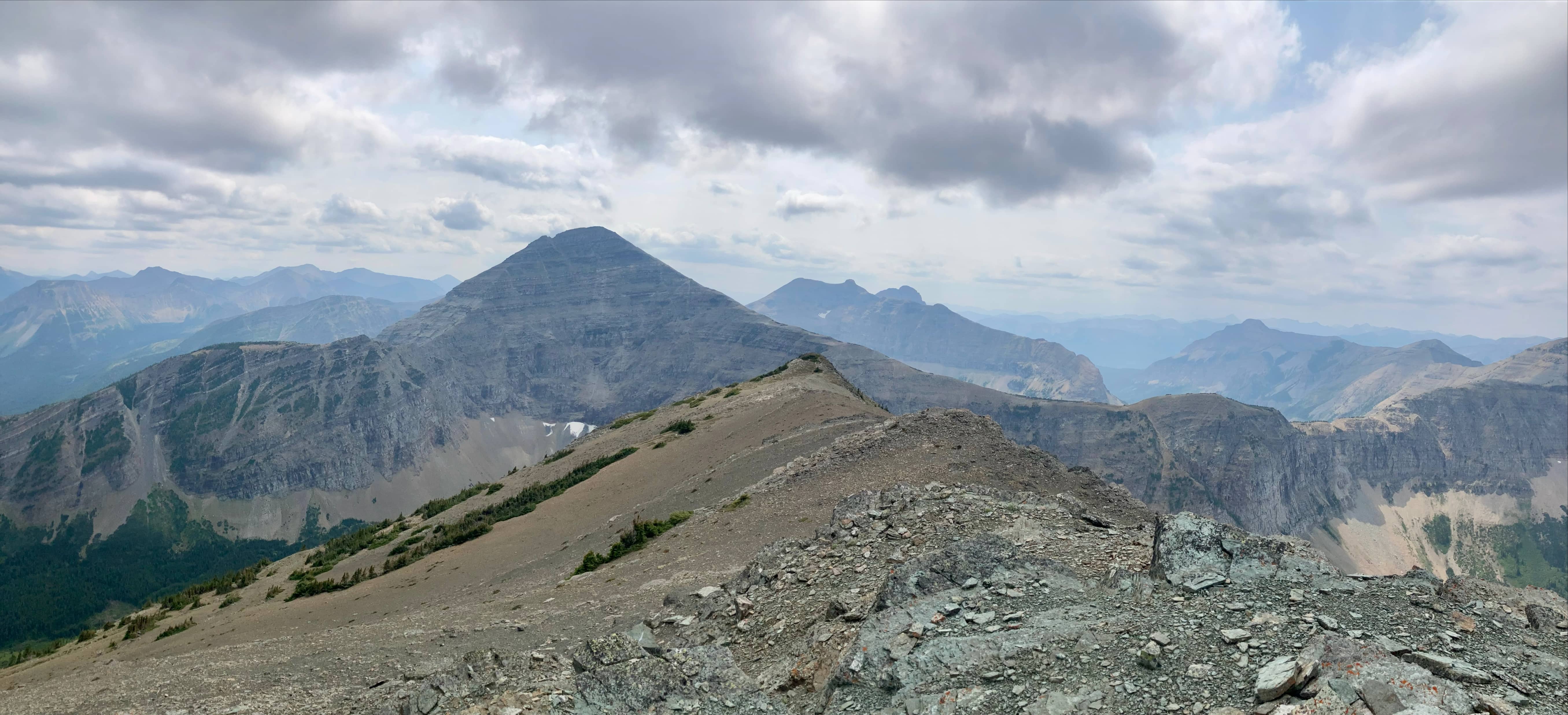
I descended from Mount Haig following the ridge north then northeast to the col. Remembering the exposed feeling I had to my left while descending on my prior visit I tried to stay right on the descent as much as possible and found that I was on more friendly terrain. From the col, an easy ascent directly up Gravenstafel’s southwest ridge took me to the summit. A few rock bands along the way can be scrambled up directly or weaknesses can be found to the left. Two false summits are encountered before reaching the true summit. It only took about 45 minutes. Views back towards Mount Haig and Haig Lake were actually better from the false summits than the true summit.
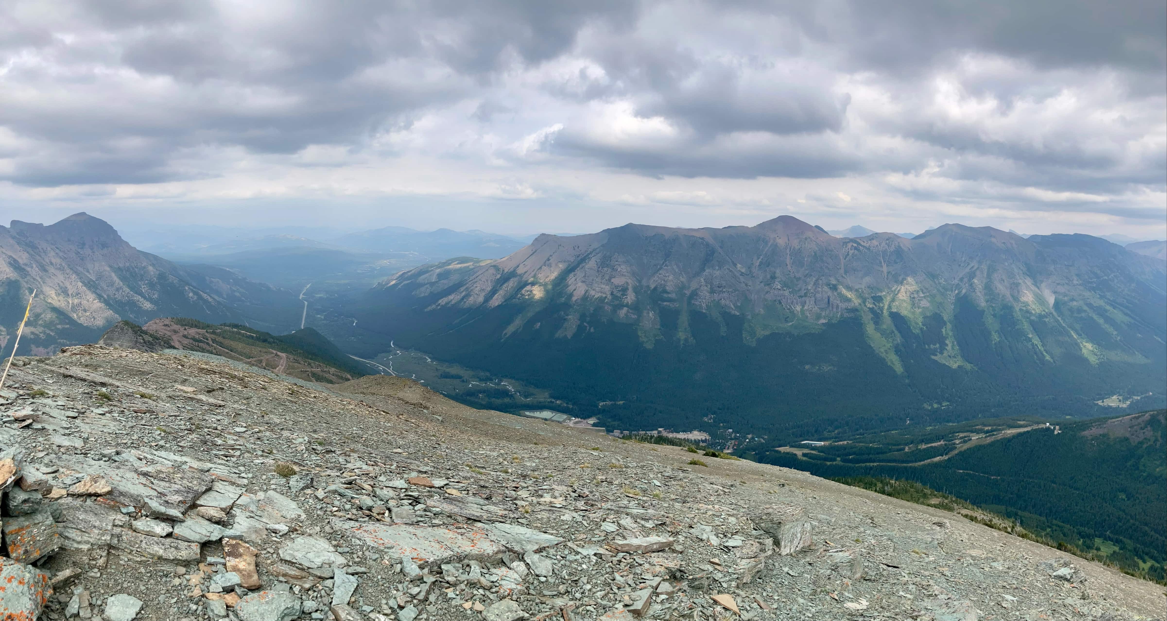
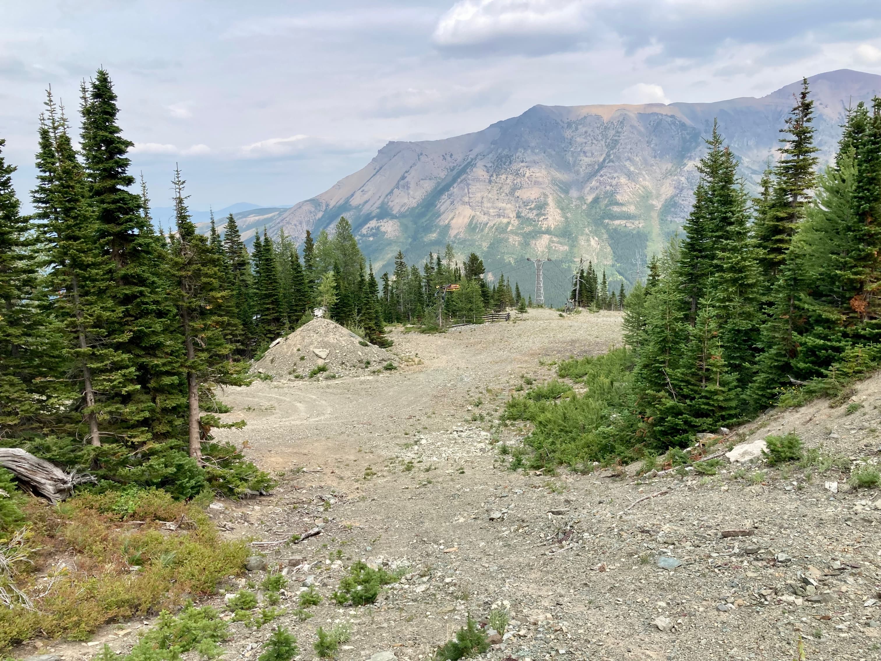
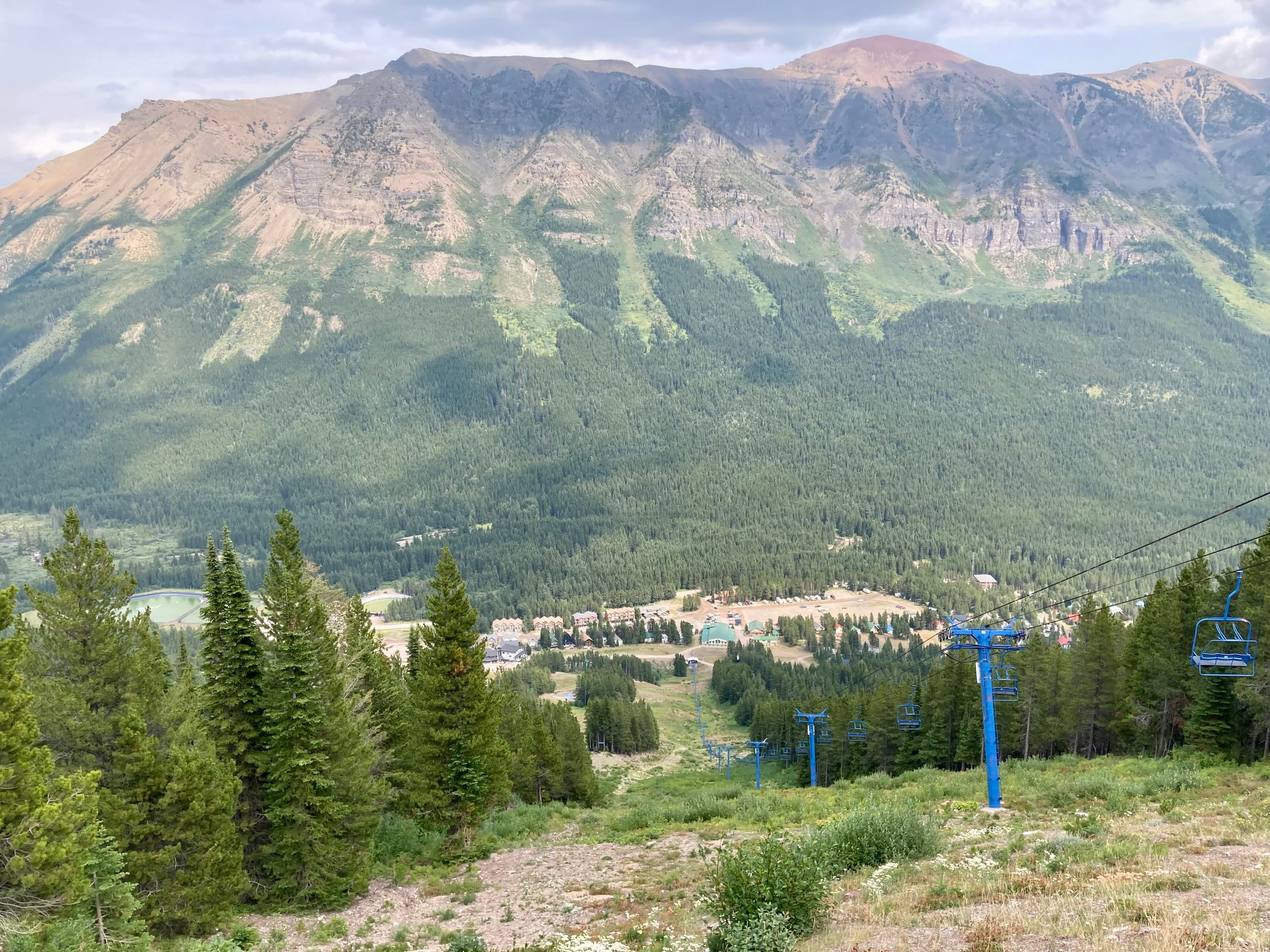
After a short rest at the summit, I descended down the northeast face of Gravenstafel Ridge. I first made my way to the top of a chairlift, then followed a maintenance road until I was looking down a ski run that went about half way down the mountain. From there I followed another meandering road until I found another run that went the rest of the way down.
The photo gallery below picks up the trip from the col. Check my previous Mount Haig post to see the scenery and landmarks up to this point.


Good Blog Par.
<
div>Gre
LikeLike