July 13, 2024. An enjoyable journey to a popular lake and diminutive glacier in K-country.
- Region: Kananaskis Country. Traditional territory of the Stoney, Tsuu T’ina, and Blackfoot First Nations
- Distance: 8.3 km round-trip
- Total Ascent: 400 m
- Elevation of Objective: approx 2350 m
- Total Time: 3h 48m
- Safety and Disclaimer

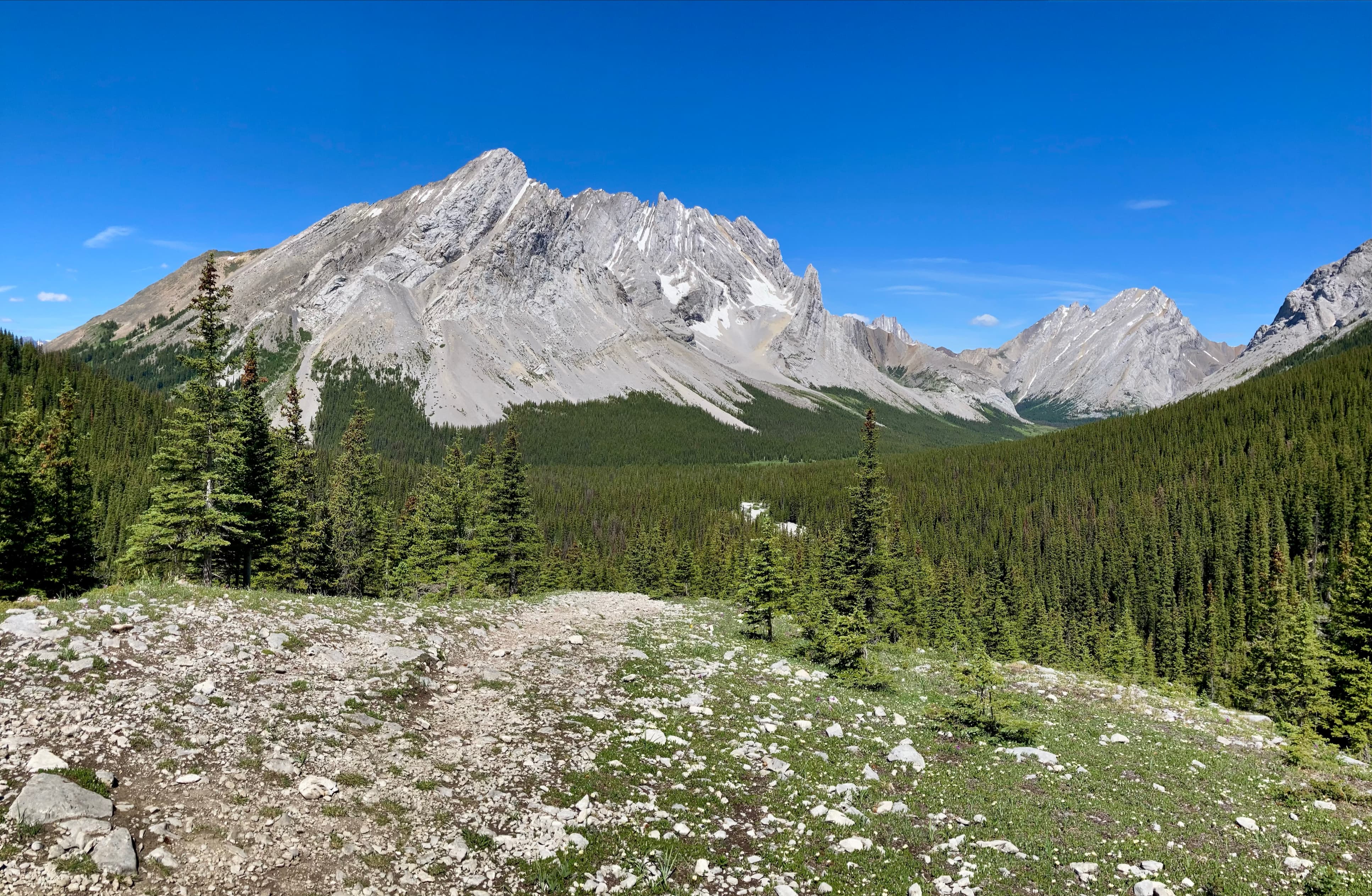
Elbow Lake is a picturesque and easily accessed lake in Kananaskis Country. There’s a backcountry campground on its shore and it’s also the jumping-off point for some longer hikes. Put all that together, and you have a popular and crowded destination. Near Elbow Lake there’s an easily accessible, although very small, glacier. Rae Glacier sits a little southeast of Elbow Lake, north of the col between Mount Rae’s summit and its southwest outlier. Daffern’s Kananaskis Country Trail Guide 4th ed. provides a description of the unofficial route leading to the glacier. It also appears on Gem Trek maps. It held the promise of a satisfying and uncrowded destination. My kids and I decided to spend a few hours on a hot July day checking it out.
Access is via the Elbow Lake trailhead, located 4.6 km north of the Highwood Pass on Hwy 40. The large parking area is typically overflowing and that was the case during this visit, too. Off the start we followed the wide, occasionally steep trail up to Elbow Lake. This only took about 25 minutes. On arriving at the lake we turned right to follow a trail into the lakeshore campground and then beyond it. We continued to an intersection with a very obvious but unsigned trail departing eastward from the northeast part of the lake.
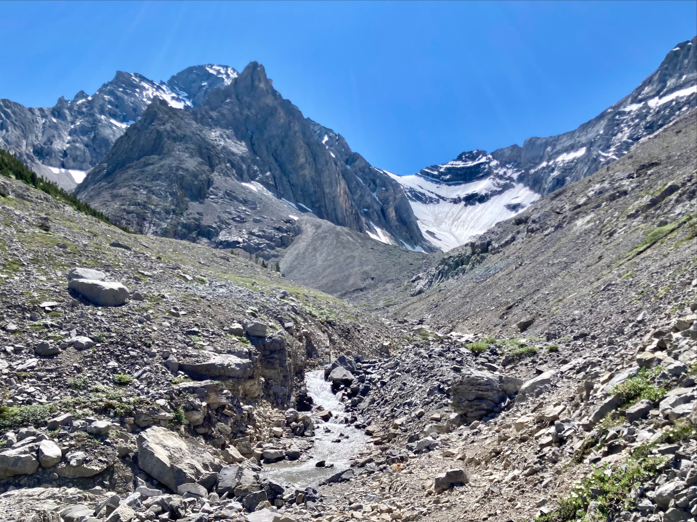
Although this isn’t an official trail, the route sees enough traffic that the way to go is fairly obvious. After a short push through the forest the trail comes alongside a creek and then follows it upstream to the south. Obvious disruption from prior floods interrupts the trail but the way to go is pretty clear and from time to time I saw some flagging or cairns. The trail departs from the creek shore after a while, climbing onto a sparsely treed rise. Eventually the trees are all left behind and the trail re-joins the creek before climbing a terminal moraine and reaching the cirque below Rae Glacier.
This was a very worthwhile hike. It works great as an extension to the popular but short hike to Elbow Lake. I went with a teen and a tween but families with motivated younger kids might also want to give it a try.


One thought on “Elbow Lake & Rae Glacier”