July 9, 2023. Part 3 of a 7-day trek along the world-famous West Coast Trail
While previous posts have dealt with 2-day chunks of this trip, Part 3 will encompass only one day since it was packed with so many interesting things. You can read Part 2 here.
Region: Pacific Rim National Park Reserve. Traditional territory of the Huu-ay-aht, Ditidaht, and Pacheedaht First Nations
Distance: Approximately 17 km for this segment (based on the official map, actual distance travelled is longer)
Total Time: 9 hours
Sketch map of the northern portion of our route from Cribs Creek to Pachena Bay. Solid lines are inland trail, dashed lines are beach travel. Only the campsites we stayed at are marked, though many of the others correspond to included landmarks. Click/tap for a higher resolution zoomable image.
Day 5: Cribs Creek to Tsusiat Falls
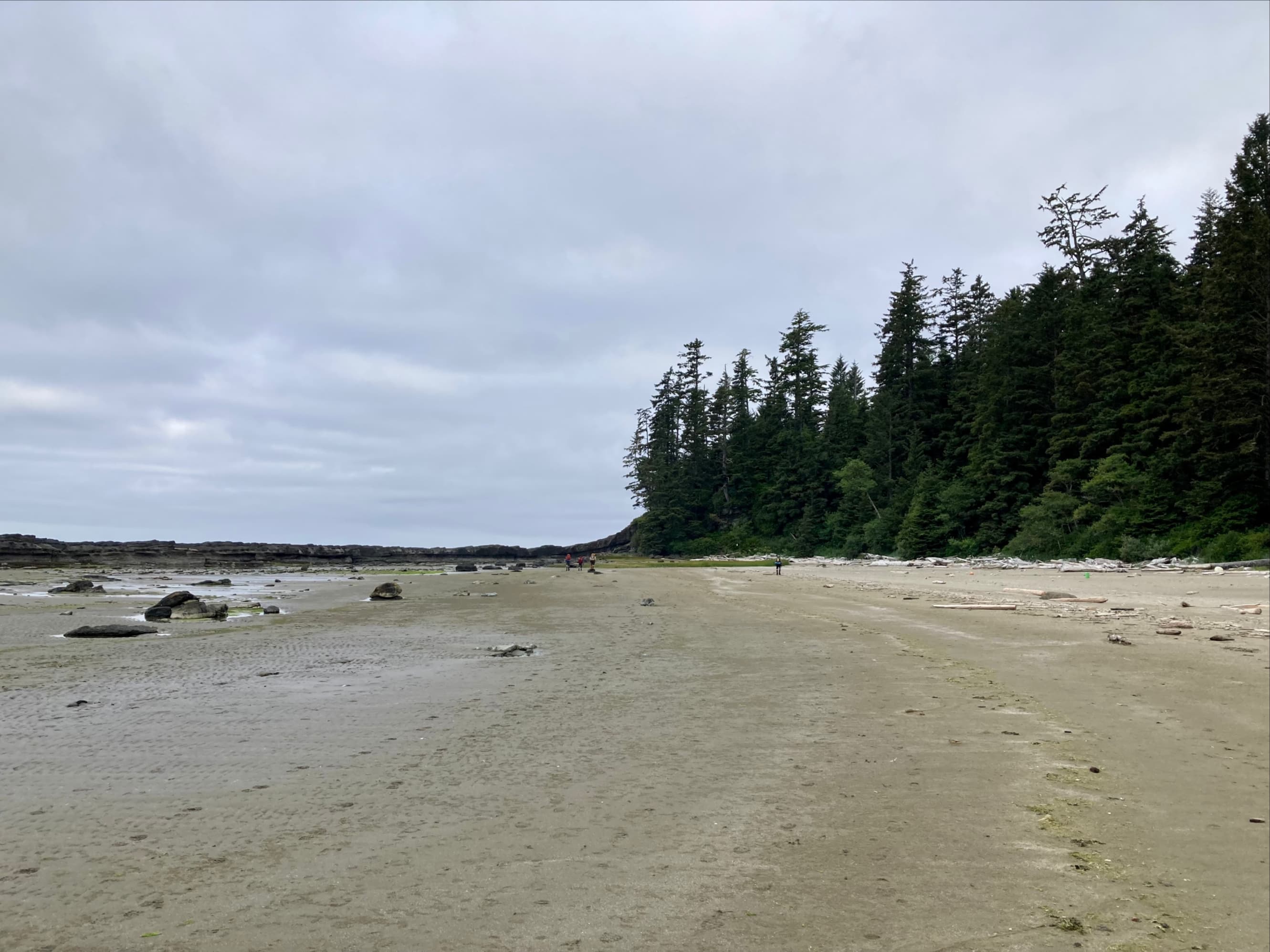
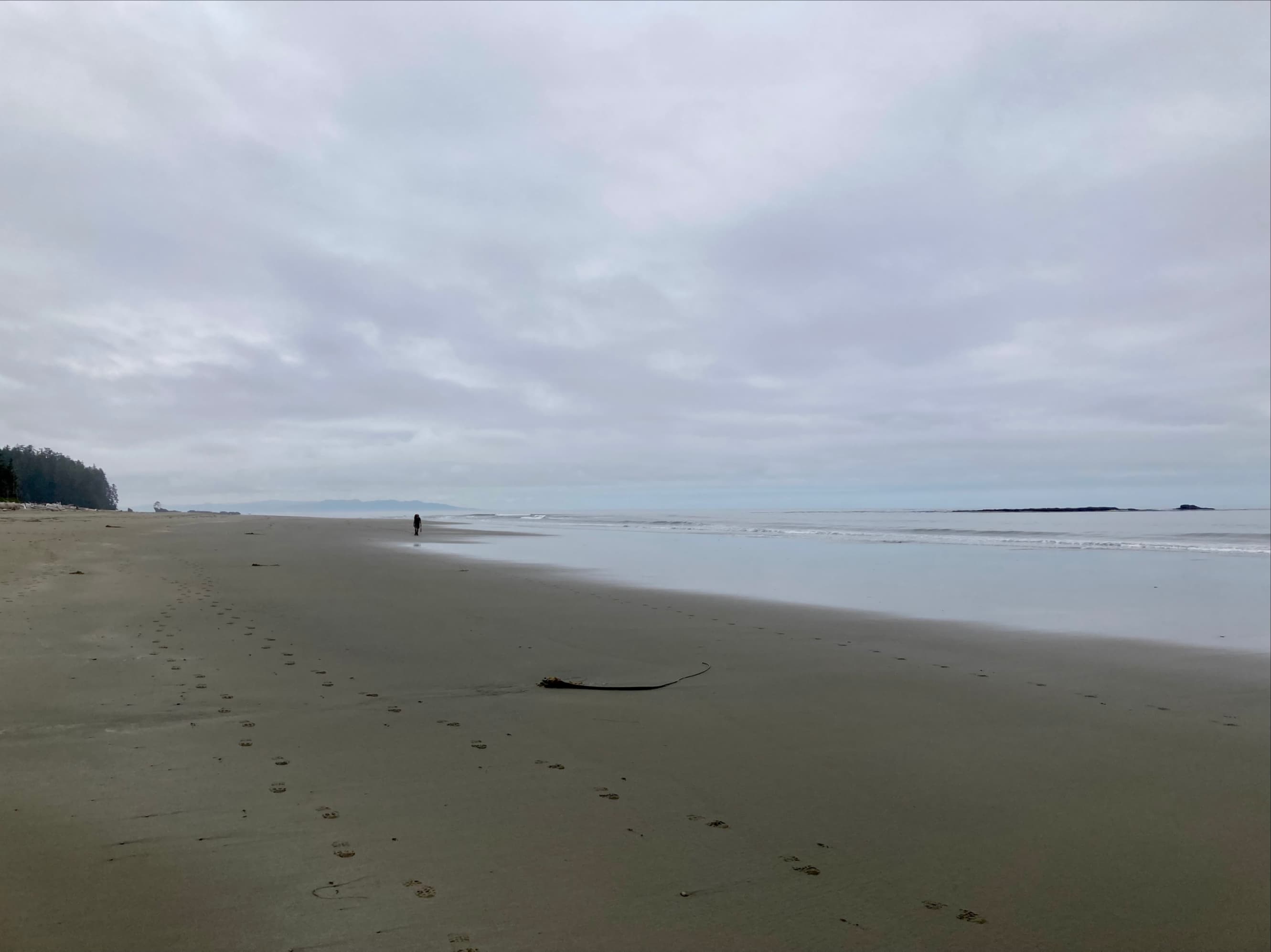
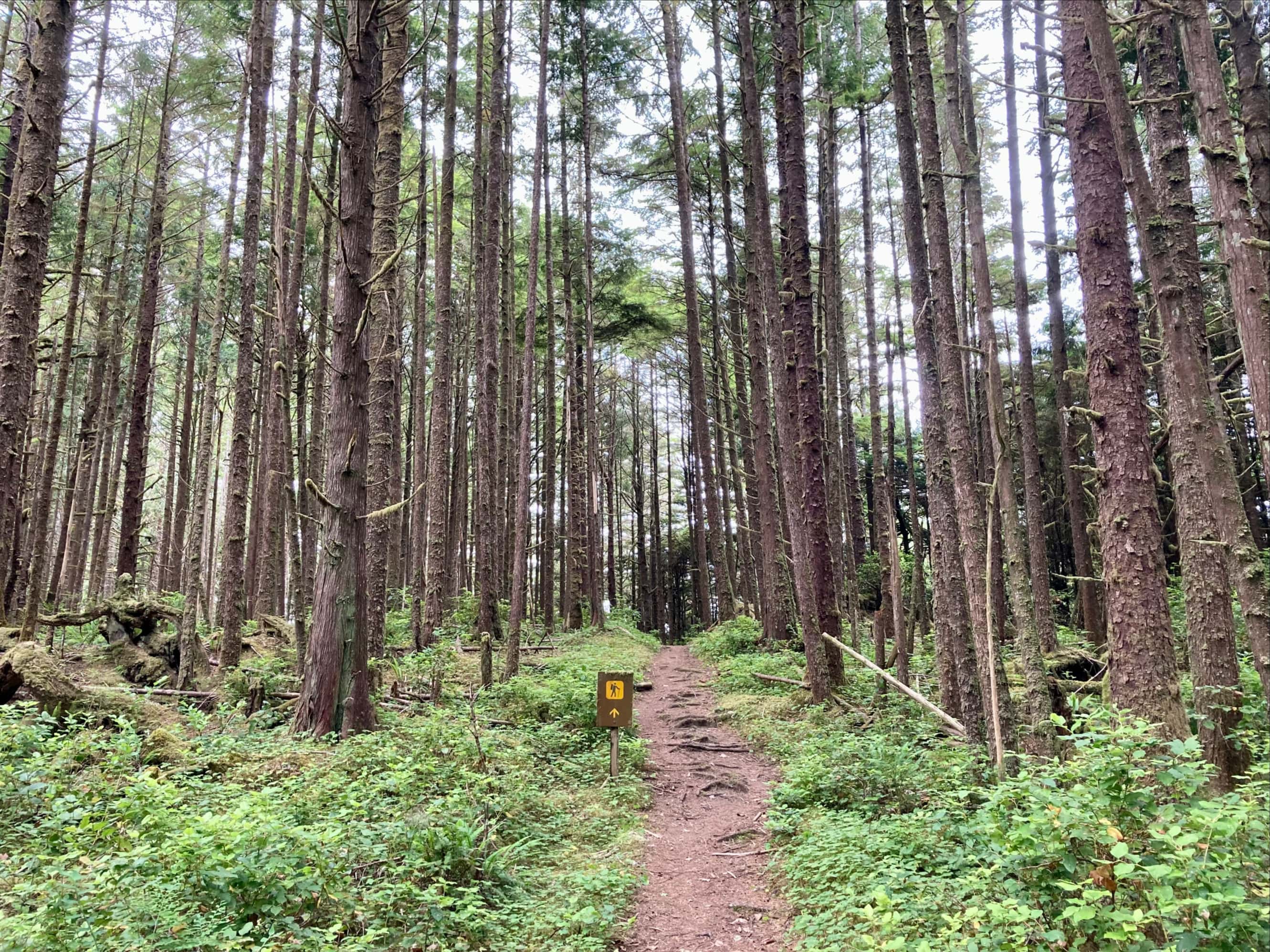
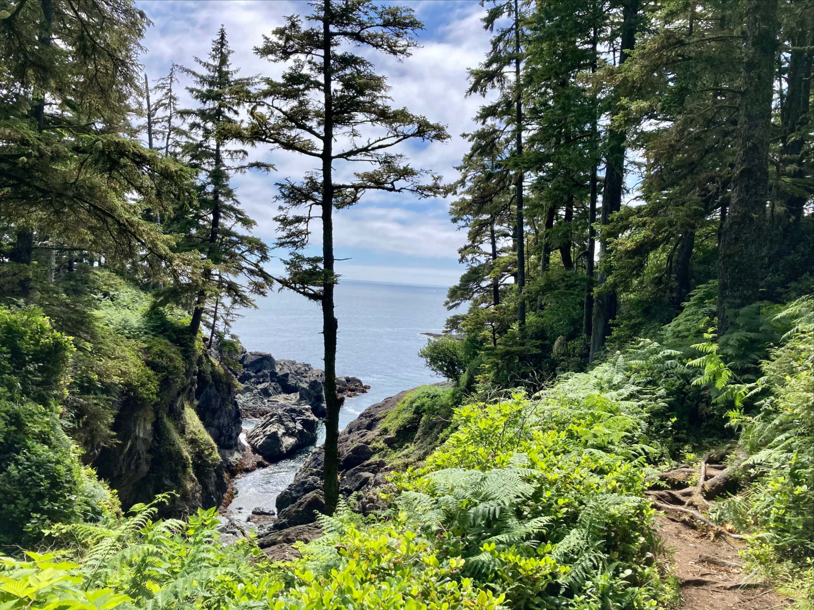
We got off to an early start on Day 5, and promptly made the only wrong turn of the trip. Our intention had been to stay on the beach, passing the point north of Cribs Creek and carrying on until we returned inland to avoid a surge channel near KM 39 on the official map. Unfortunately, a misinterpretation of some advice given by southbound travellers resulted in us being on the inland path until we got to Dare Beach, a little over 1 km along the way. This is too bad, because this portion of the trail was particularly awful. It was nearly overgrown in many places, and the passage of other hikers had resulted in twigs snapping off, leaving branches covered in little spikes that would whip and tear as you went by. Suddenly the rather haunted looks on the faces of southbound hikers that had arrived at camp late the previous evening made sense. We had seen chainsaws and trimmers stashed along the trail as we went along, but it seemed that the maintenance crews hadn’t yet reached this section.
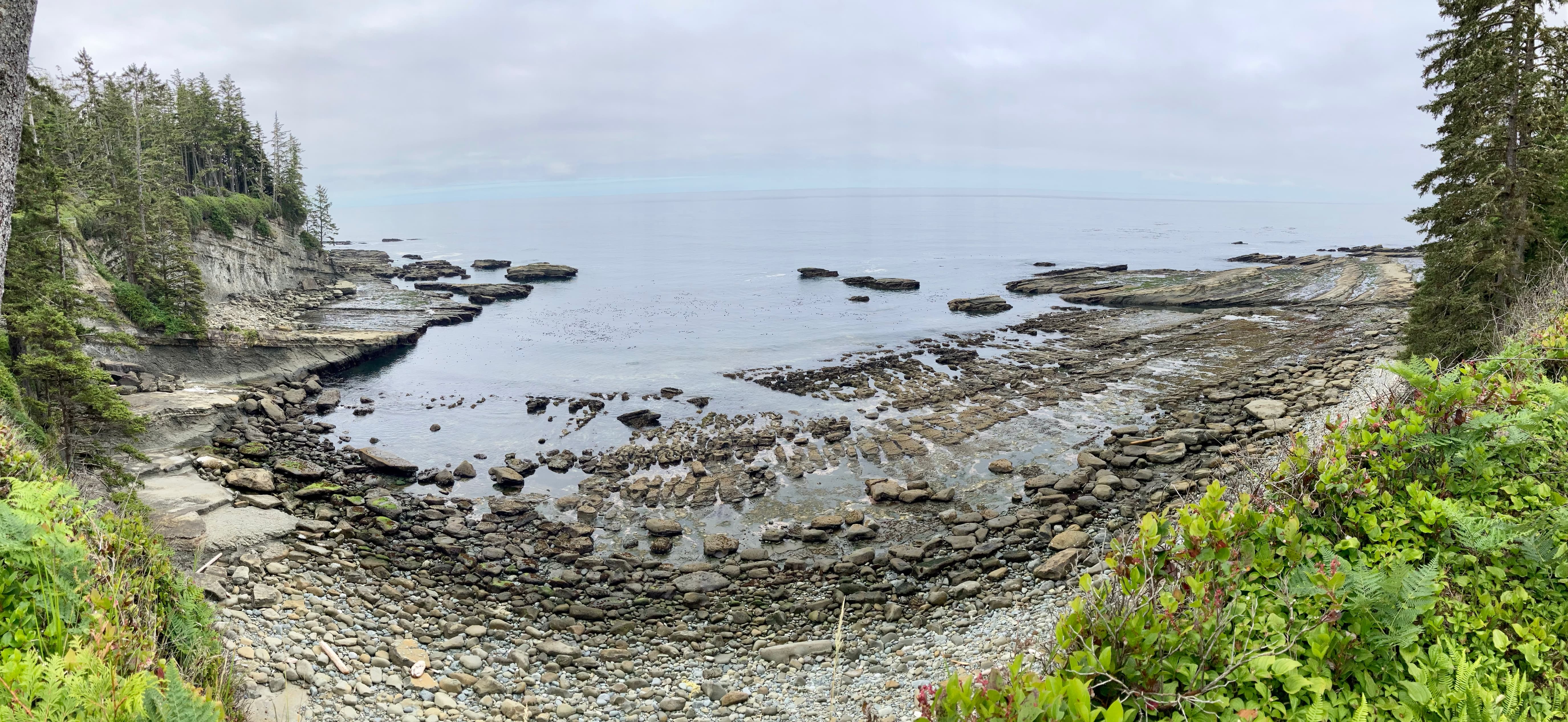
Skies were grey but we didn’t have any rain falling as we set out from Cribs Creek.The crew starts to enter the woods. It was thought that this was just a short diversion around the rocks. It was not. We should have just climbed up the rocks and carried on along the beach.A last look back at Carmanah Point in the distance. Up close is the rocky natural breakwater protecting the Cribs Creek campground.I wasn’t in a picture-taking mood as we crashed through a section of badly overgrown trail. Some areas weren’t bad, like this spot.Gazing longingly down at the beach from a break in the trees.The trail became more friendly after a while. Kathy and Anna led the way to the beach access at Dare Beach.
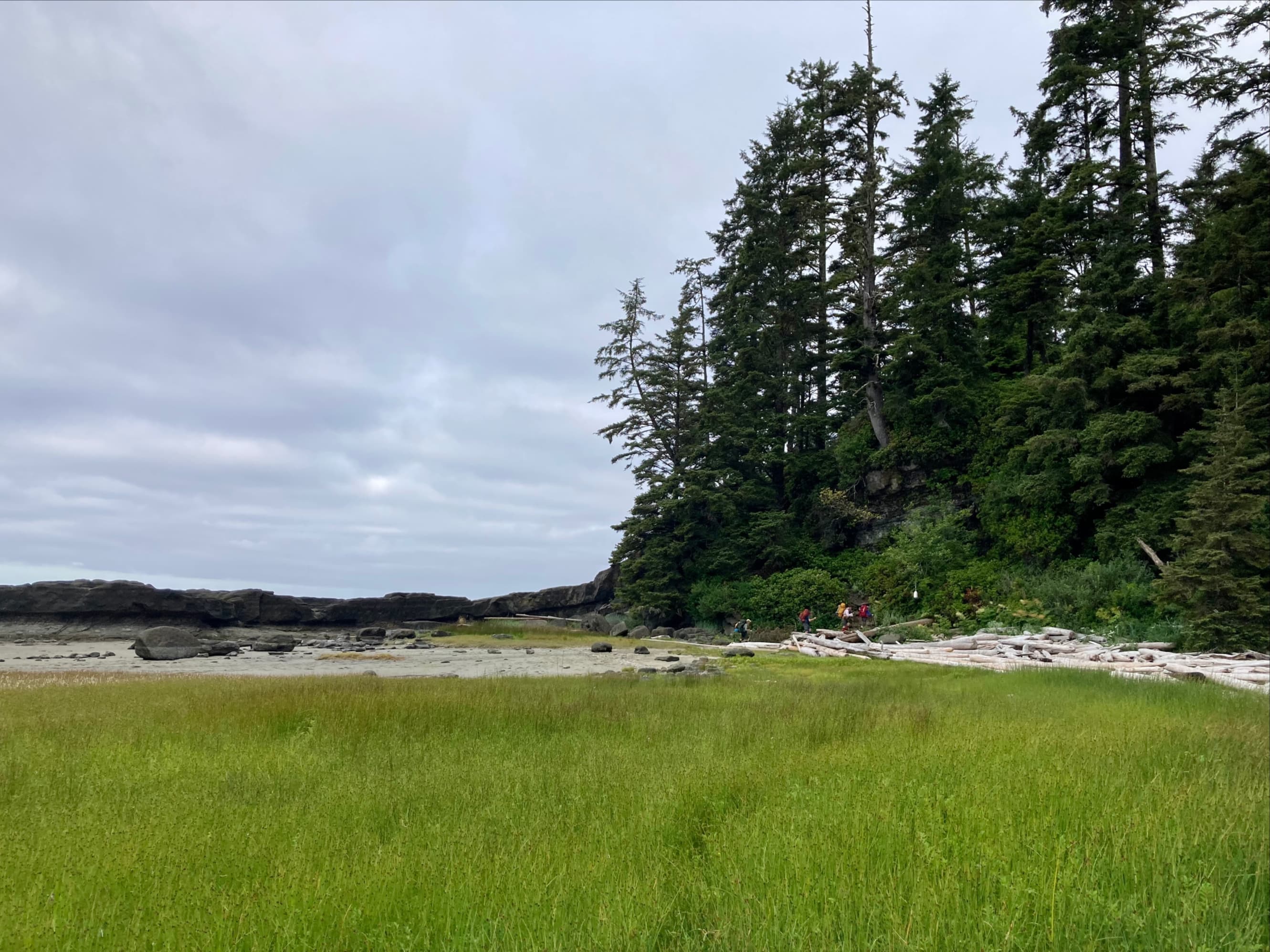
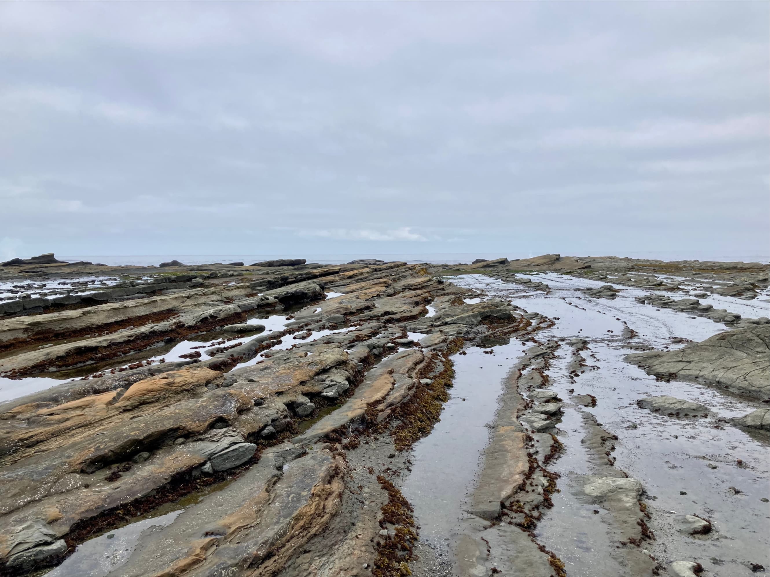
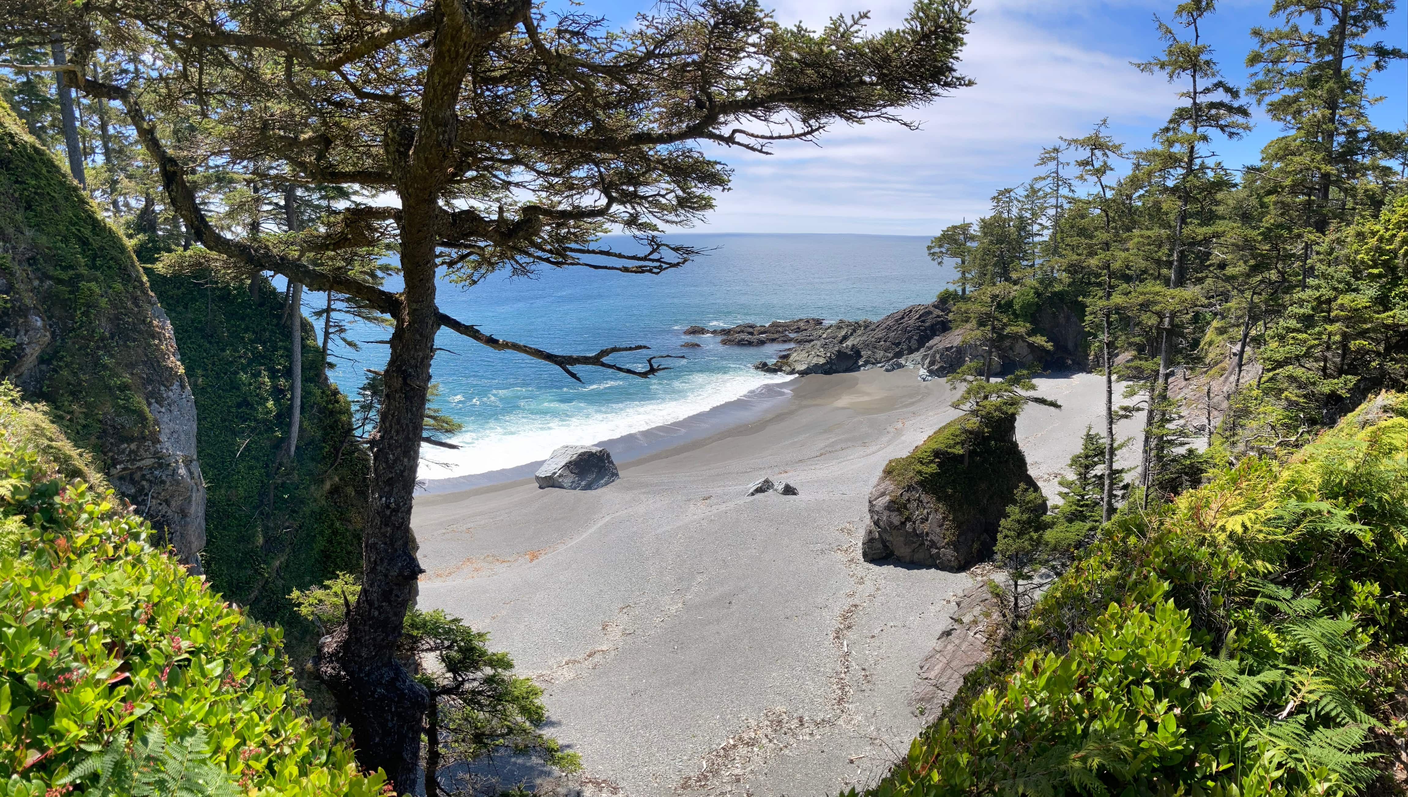
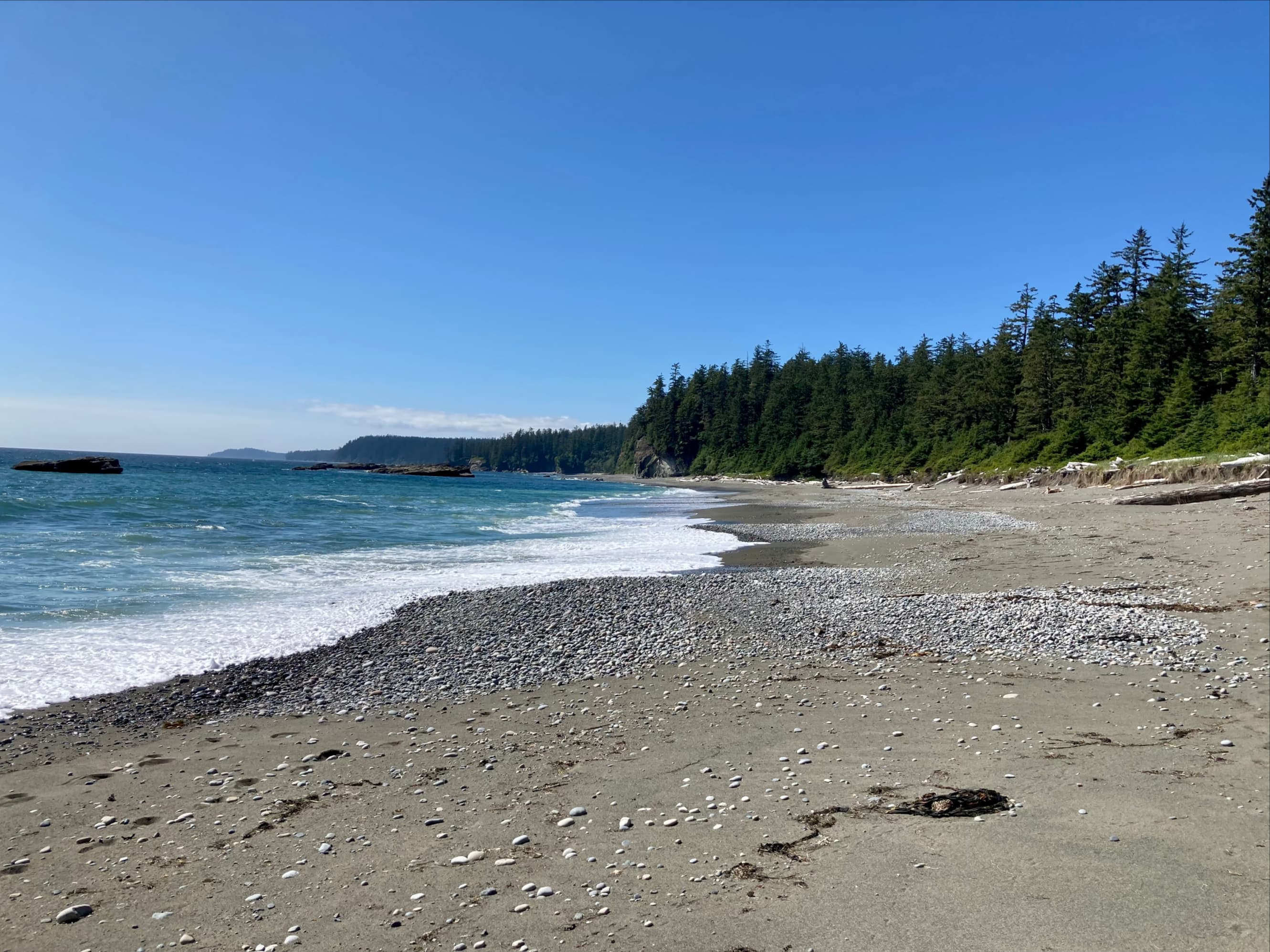
We got out of the woods on Dare Beach, but we had just a short time to enjoy it before we’d have to briefly return to the forest again. Just north of Dare Point is a section of treacherous rocks and a surge channel. On the official map, the dotted line that marks the beach route has a gap in this spot – no travel across this little section is recommended. We popped back into the forest to get past that area then got back to the beach again at the next access point.
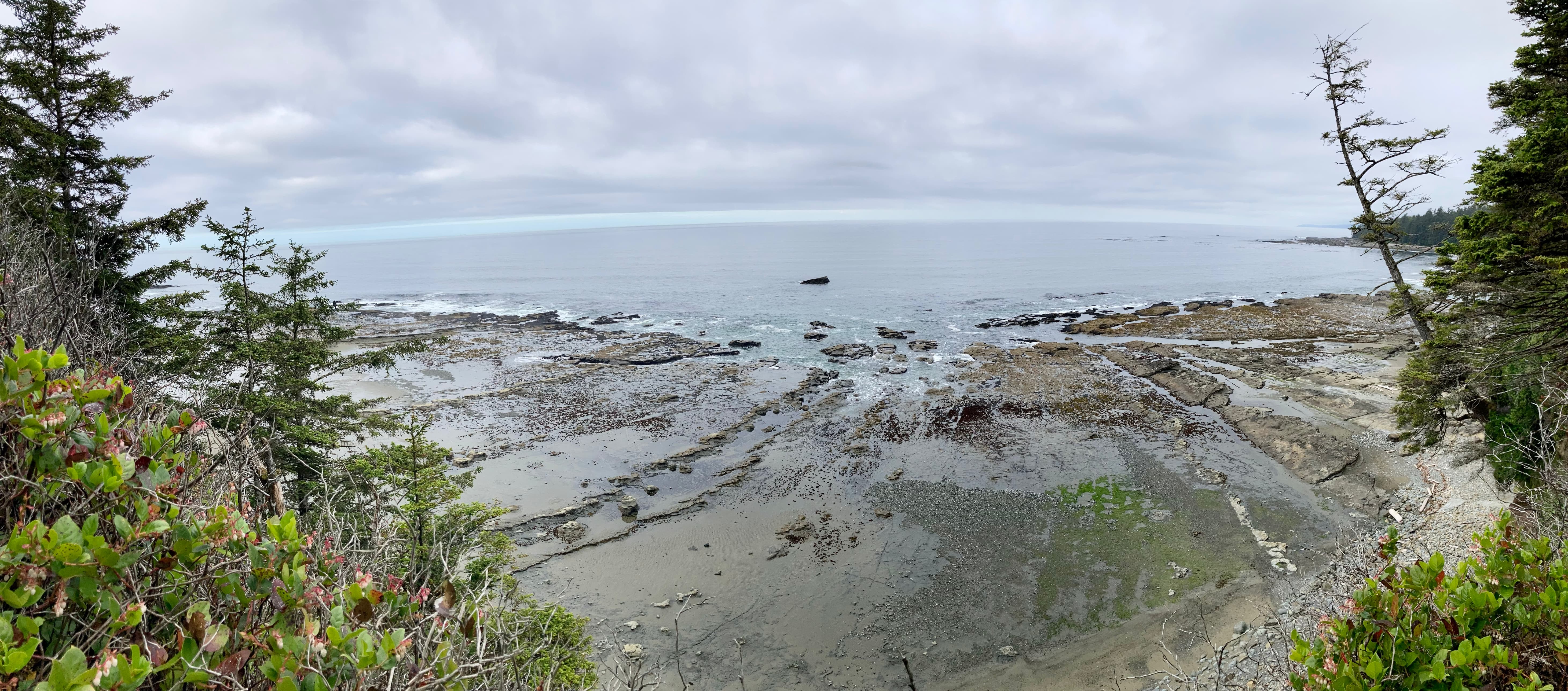
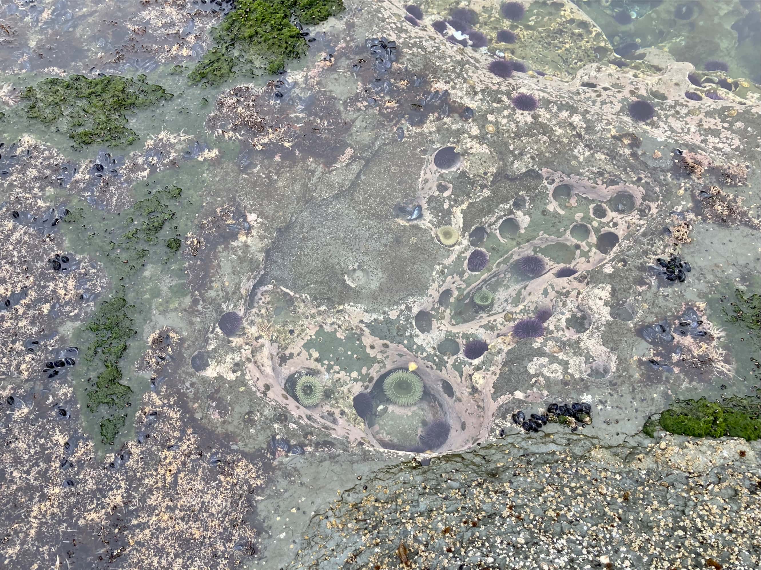
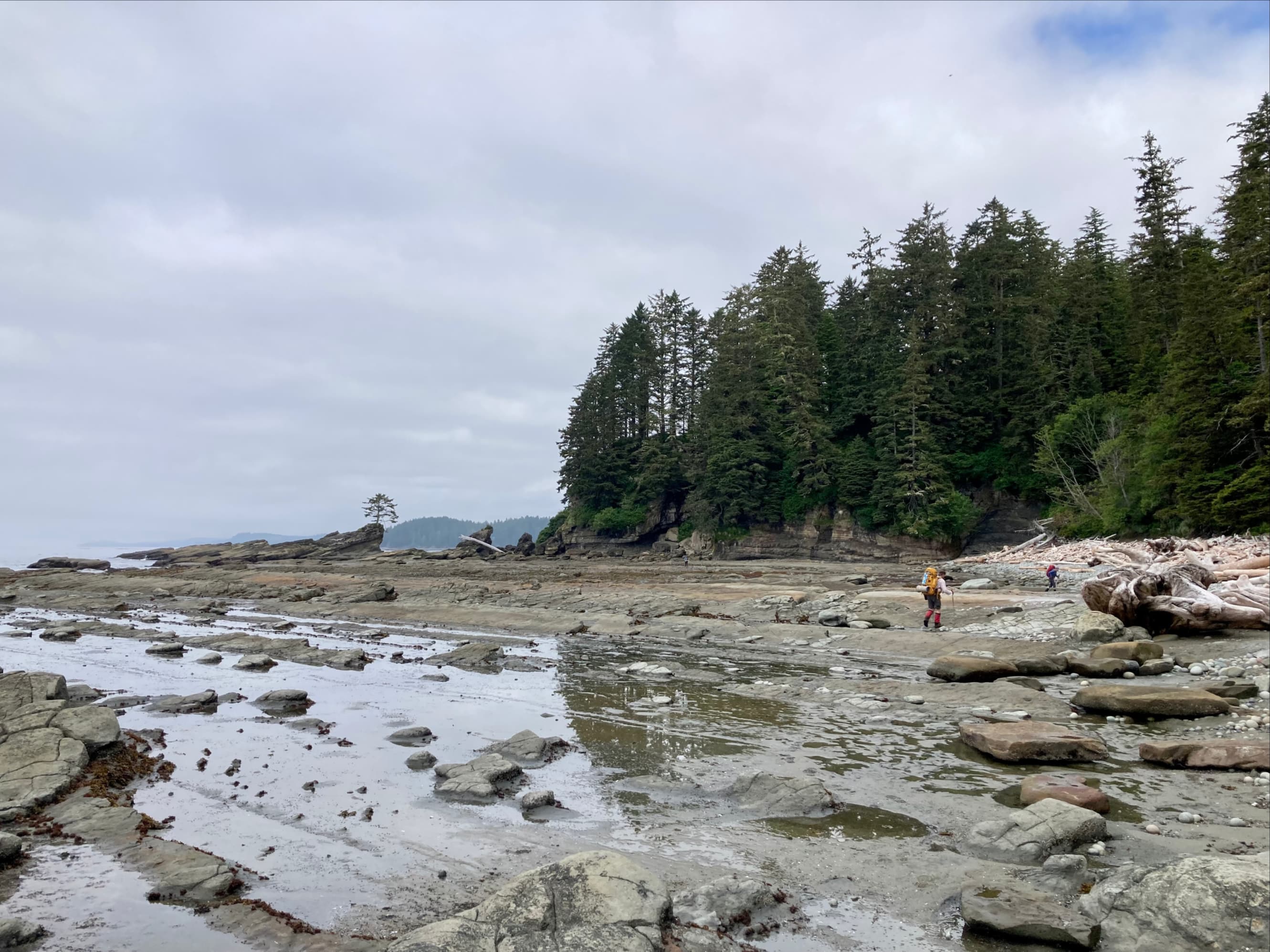
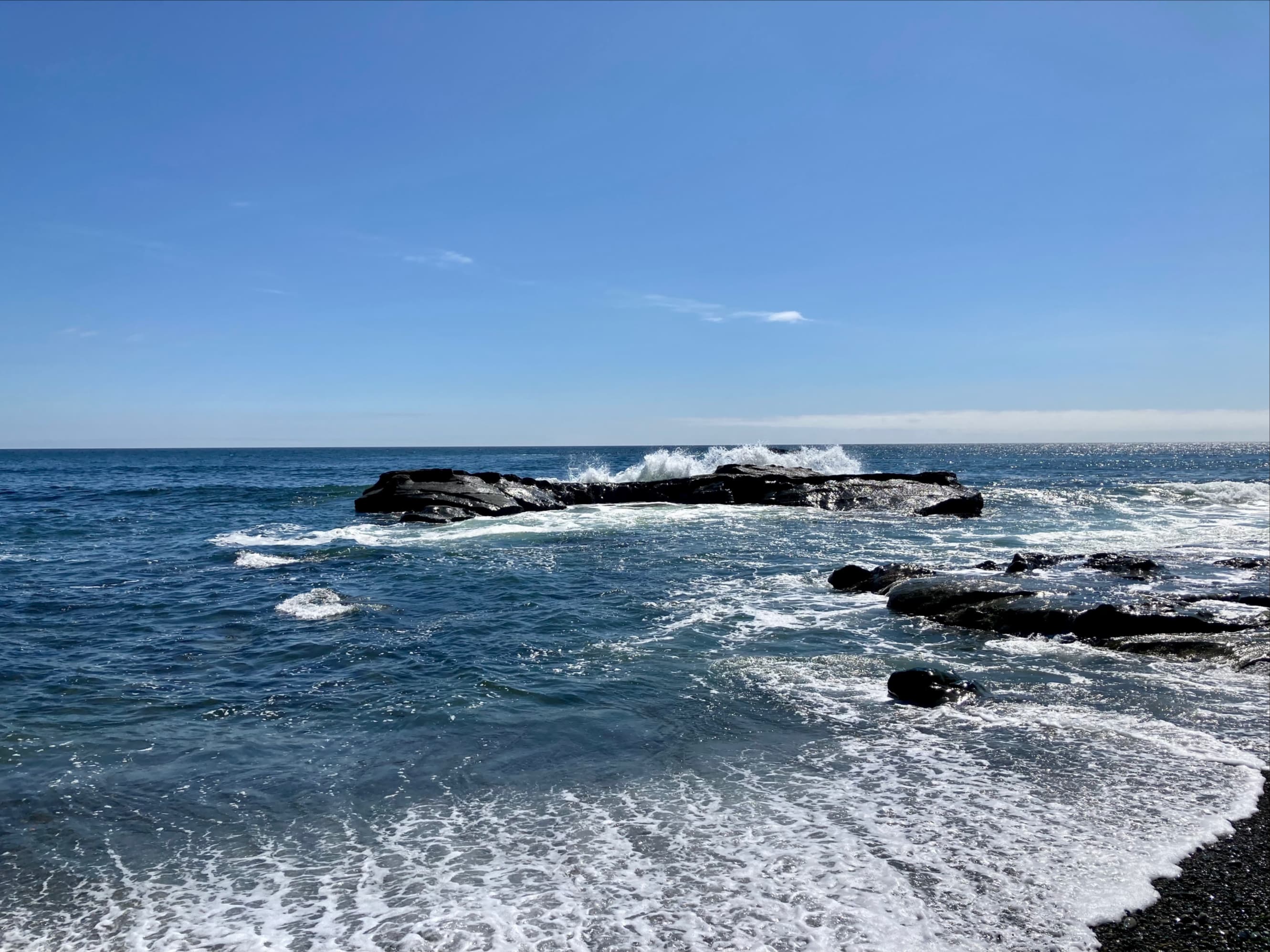
On Dare Beach.There’s no official campsite at Dare Beach, but it looks like people do set up here sometimes. There are no food bins or toilets.Conrad and Anna lead the way onto Dare Point.I stopped to check out some anemones in the tide pools. We encountered innumerable tiny crabs scuttling around the rocks on every stretch of beach that we travelled. I somehow didn’t take a picture of any of them.Some of the rocky terrain at Dare Point. The ships “Dare” and “Santa Rita” were wrecked near this shore.The shoreward terrain began to rise and become an impassible headland. We started to look out for the place where we’d have to get off the beach to avoid dangerous rocks and a surge channel.Looking out at the rocks off Dare Point.It doesn’t come across well in the picture, but it becomes very obvious when you’ve reached the place you need to get off the beach. Buoys marked the forest access, and we ended up on the trail at the top of the cliff straight ahead.The panoramic view looking the other way from up on the forest trail. The previous picture was taken from the rocks in the background on the left.
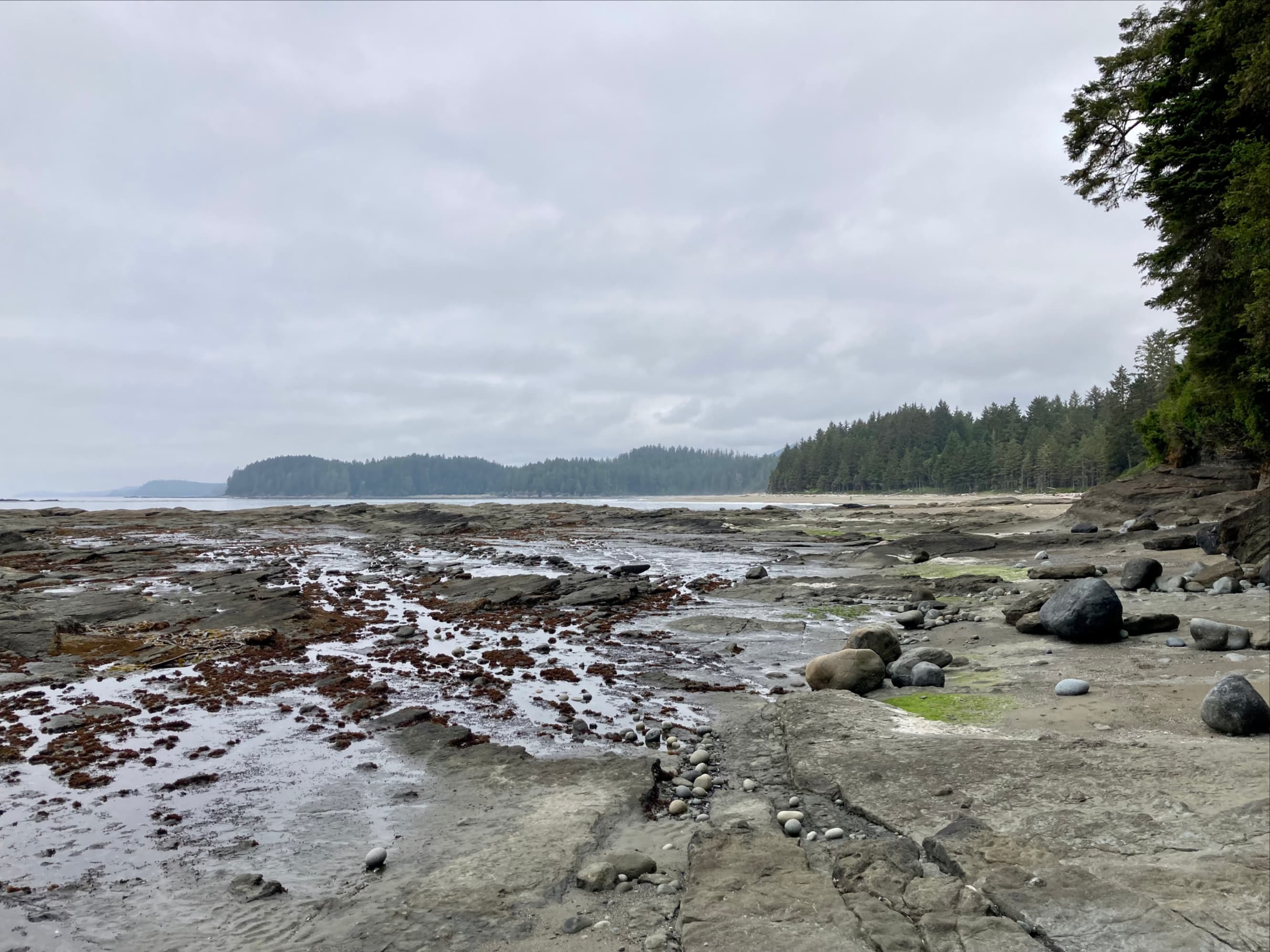
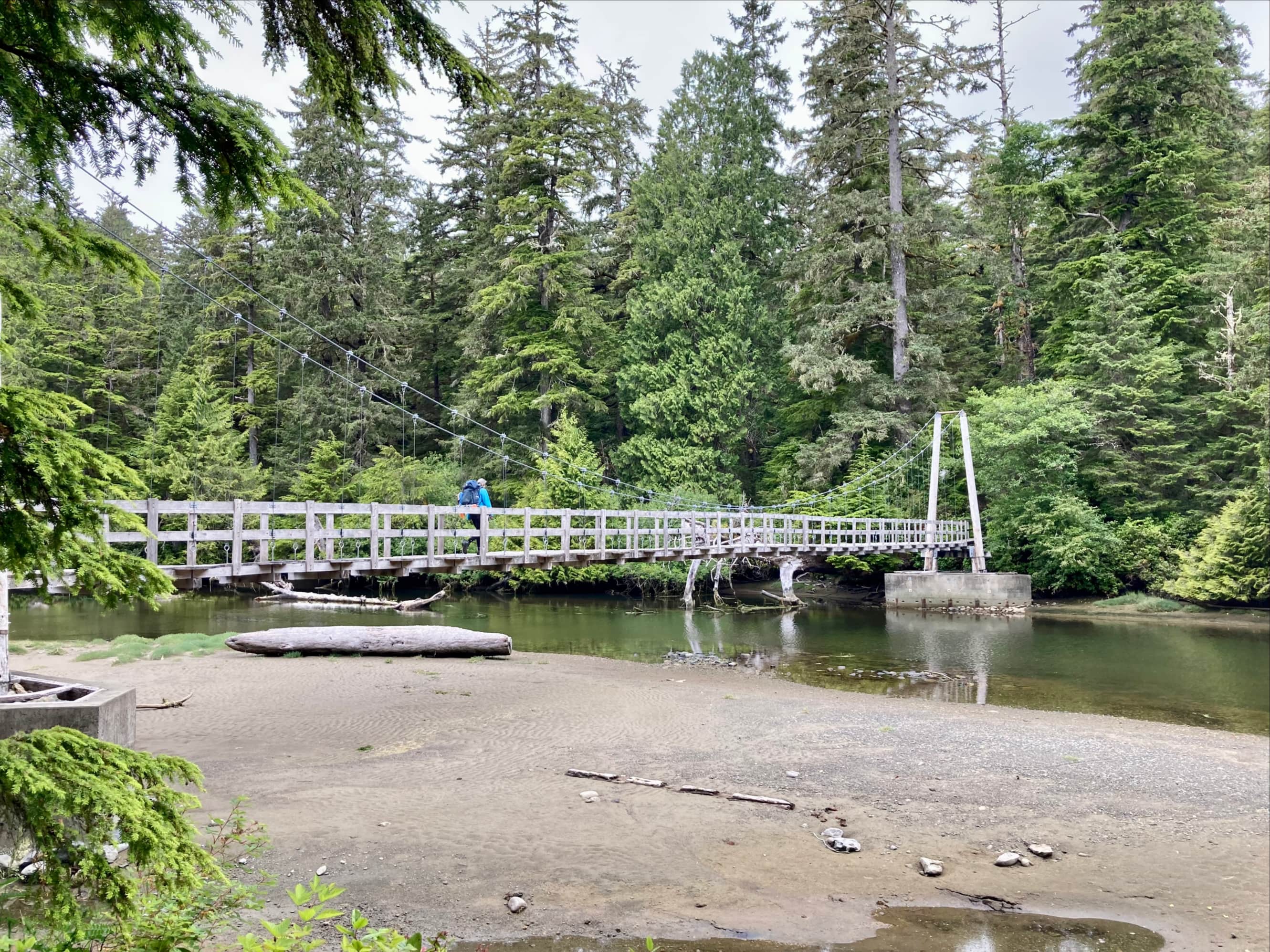
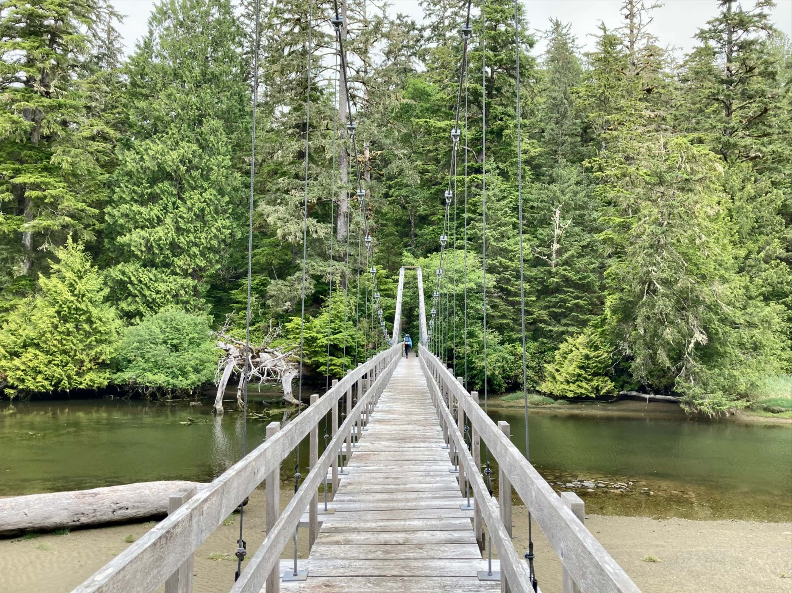
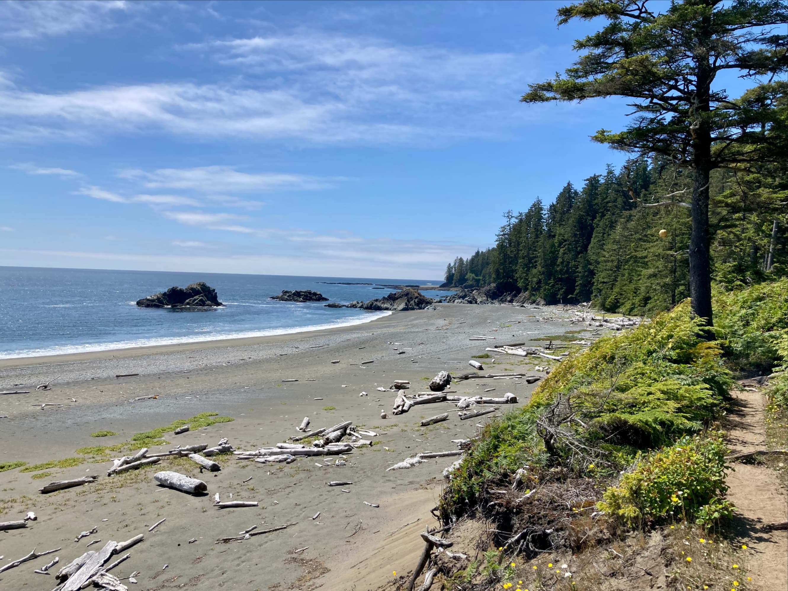
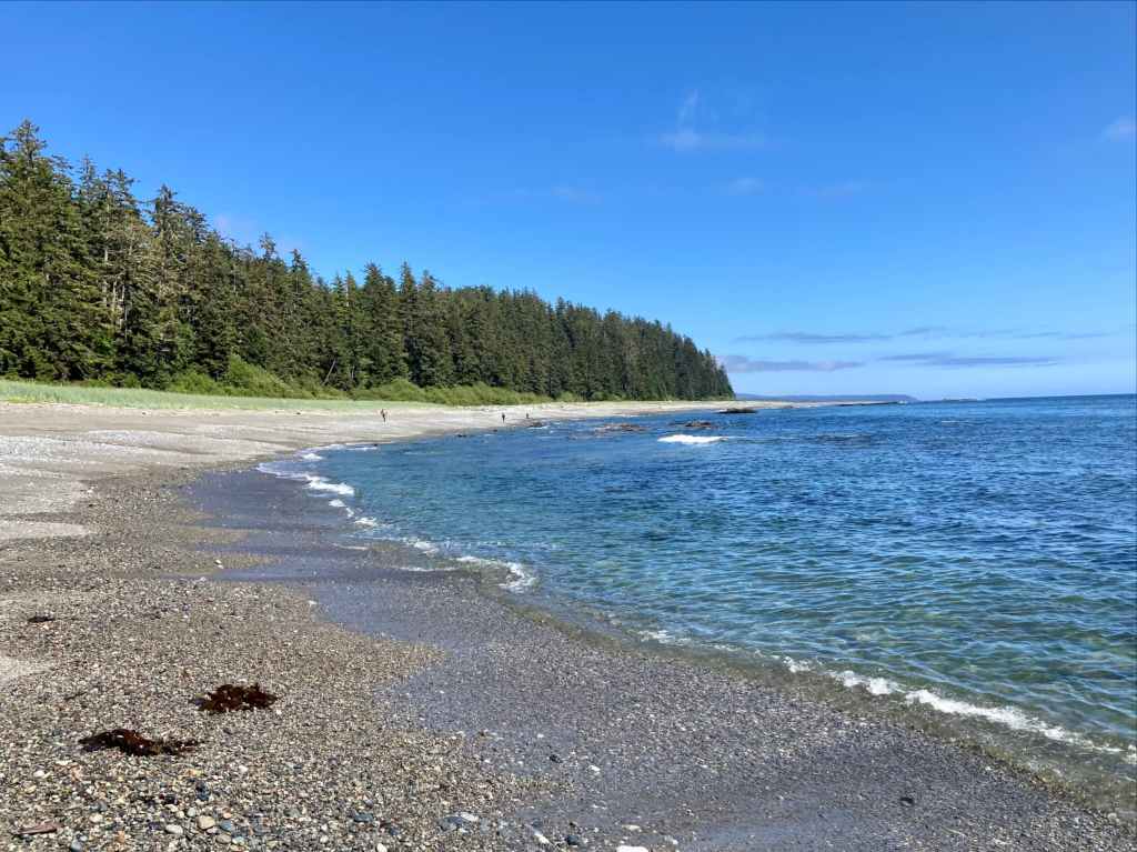
We stayed on the forest trail only long enough to get us to the next beach access. Back on the beach, we enjoyed roughly 2 km of easy travel on rocky shelf followed by sandy beach. The beach route ends just south of the mouth of the Cheewhat River. Heading back into the forest, we encountered signs notifying us that we’d entered the lands of the Ditidaht tribe. Very soon we crossed a suspension bridge over the Cheewhat River and carried on towards an area called Clo-oose, a Ditidaht name meaning “camping beach”.
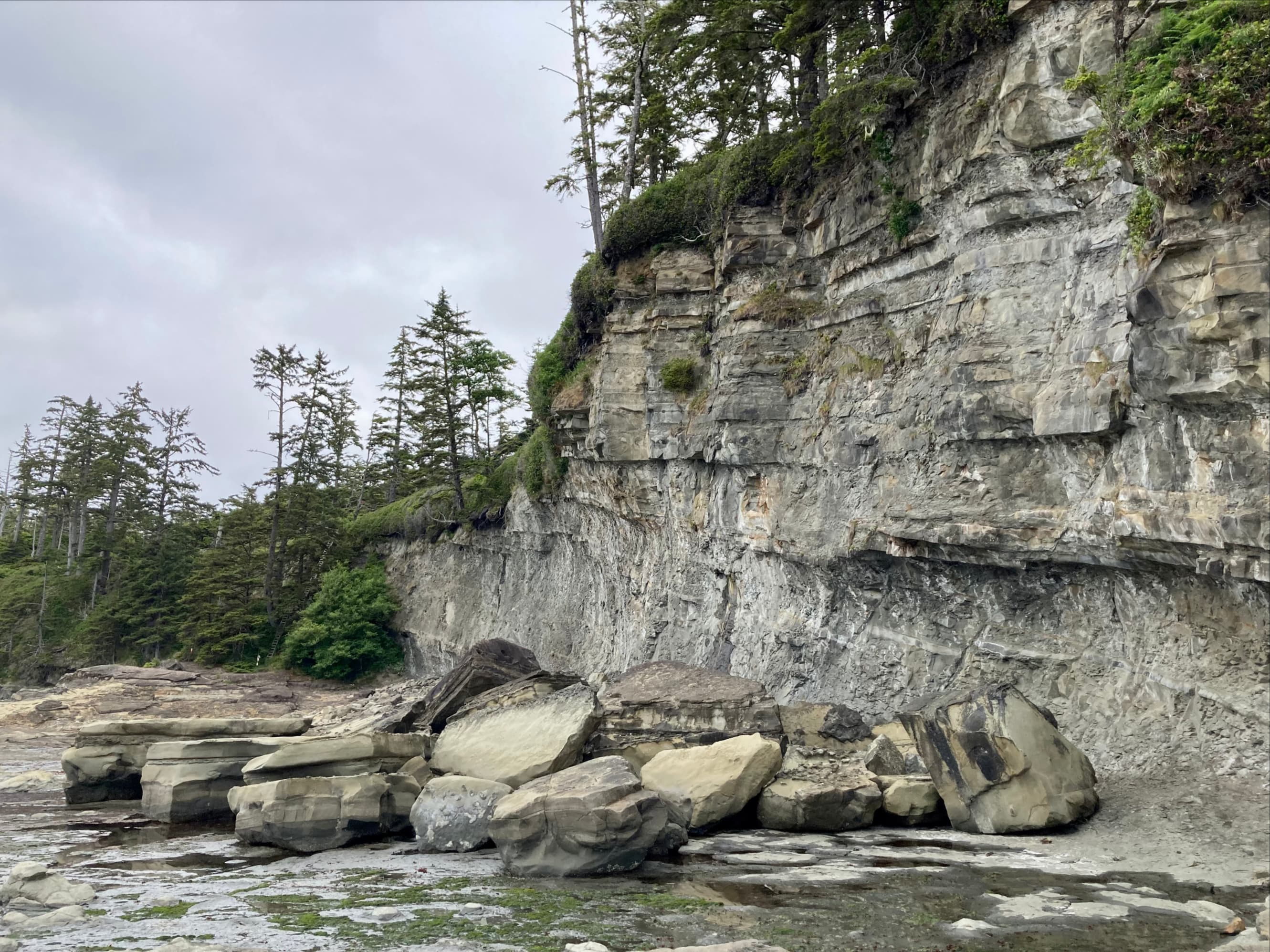
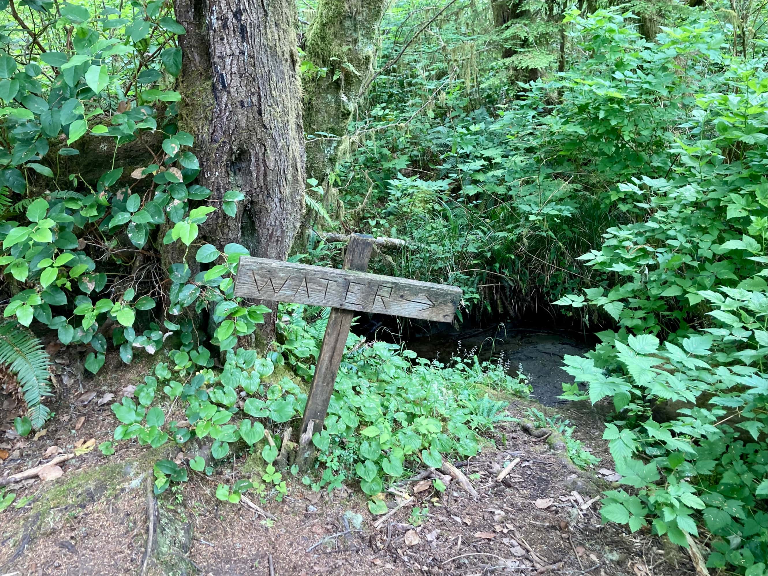
Heading north towards the mouth of the Cheewhat River. Steve and Kathy making their way along the shore.The slightly tilted strata in the rocks resulted in the image of waves of rocks washing up on water.Up ahead we could see the beach change from rocky shelf to soft sand.Checking out the human tracks. I’m 99% sure these were made by Andrea, Danielle, and Morgan.Looking back to see Conrad making his way steadily along.Off the beach and on the trail in Ditidaht territory. The sign feels a little superfluous, but since I’m a fan of the retro Parks Canada brown and gold signage, I’ll accept it.Anna makes her way across the suspension bridge over the Cheewhat River.Crossing the bridge.Soon after crossing the bridge, I encountered this little sign pointing to a tiny stream. At Nitinaht Narrows I learned that this stream arises from a nearby spring.When I saw this section the theme from Super Mario Bros. popped into my head.
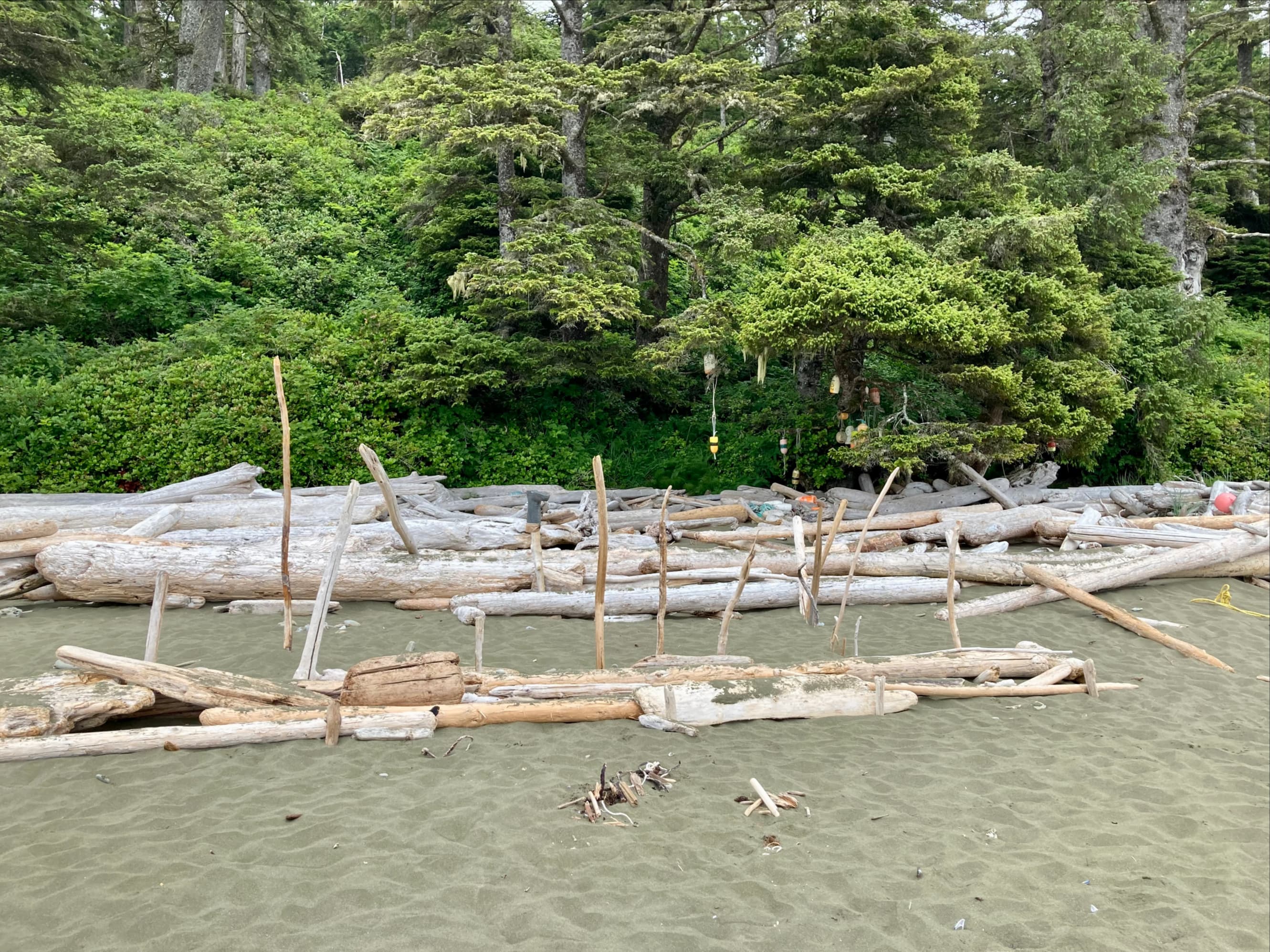
As I drew closer to Clo-oose I smelled smoke but couldn’t see a fire. As the trail came out of the woods near a little cove I saw some cabins nestled in the trees, one with smoke rising from its chimney. By this time, Anna had gone on far ahead and the others were some distance behind me. I took a break here to let the rest of the group catch up. Everyone was still going strong and, after a quick rest to check out the surroundings and read an interpretive sign, we pressed on to Nitinaht Narrows.
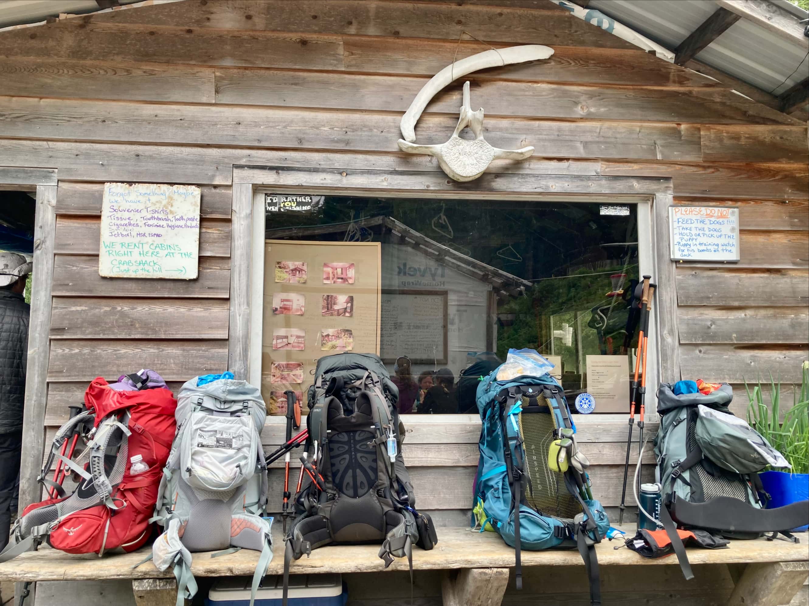
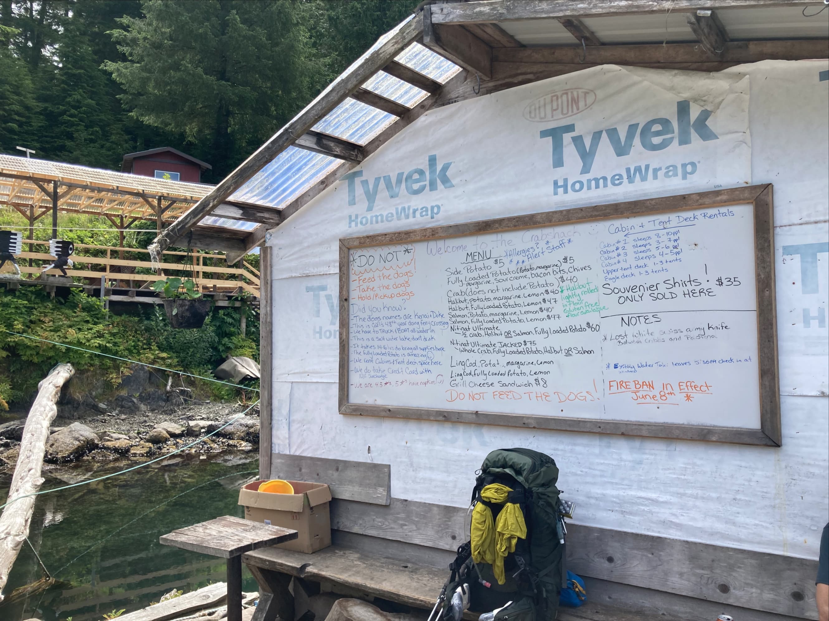
Clo-oose. The smoke I’d smelled was coming from the chimney of the white cabin at the left.A little boat anchored just off shore.Back into the woods. By this point my thoughts were dominated by hot food and cold beer at the Crab Shack.Making good time on the boardwalks. These ones were in very good shape.Just before reaching the Crab Shack, the trail skirted past a small lake. The water along the shore was full of lily pads.At long last – the Crab Shack. Andrea, Danielle, Morgan, and Anna were already seated. Anna gave a big wave as I appeared.
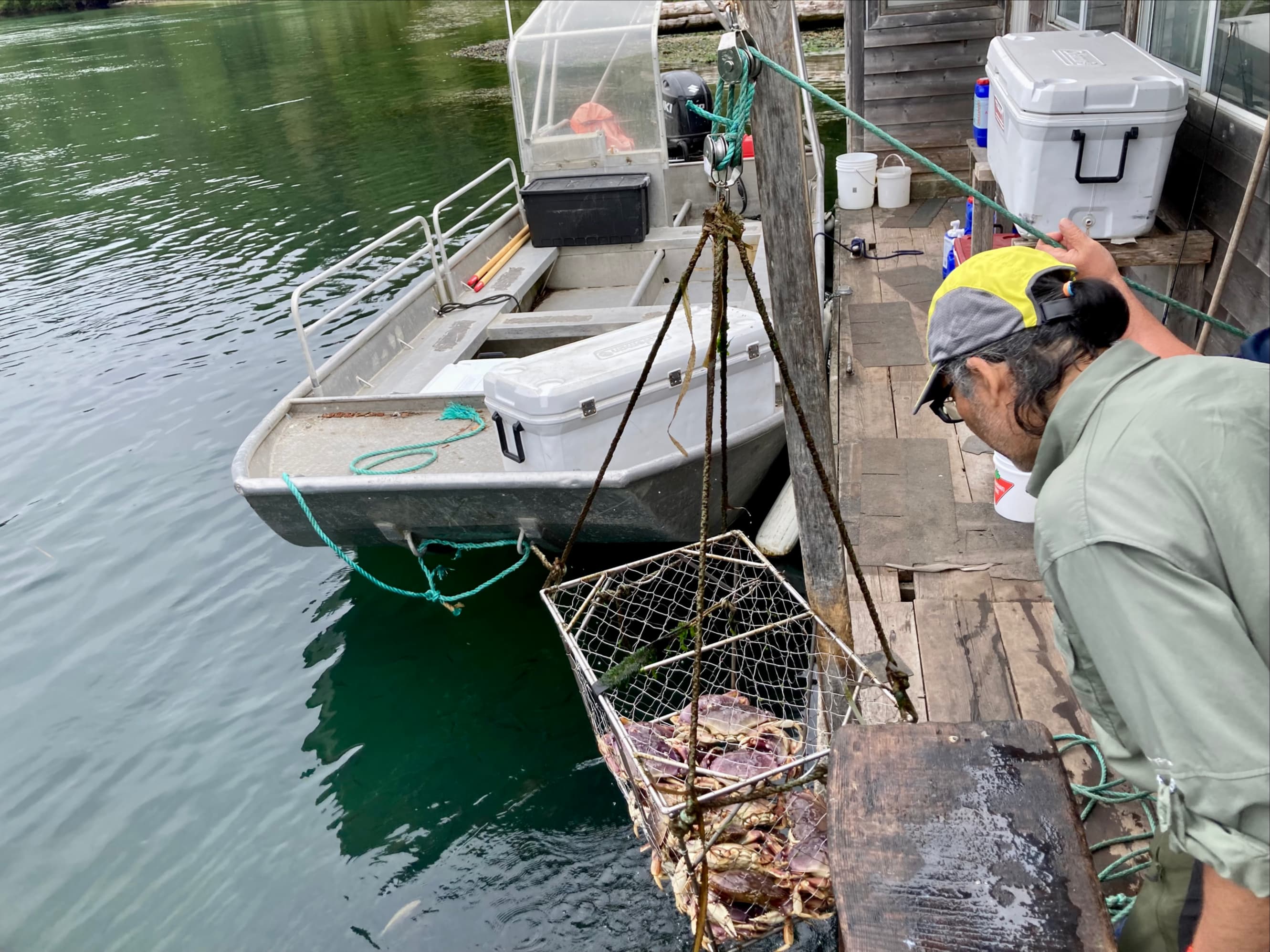
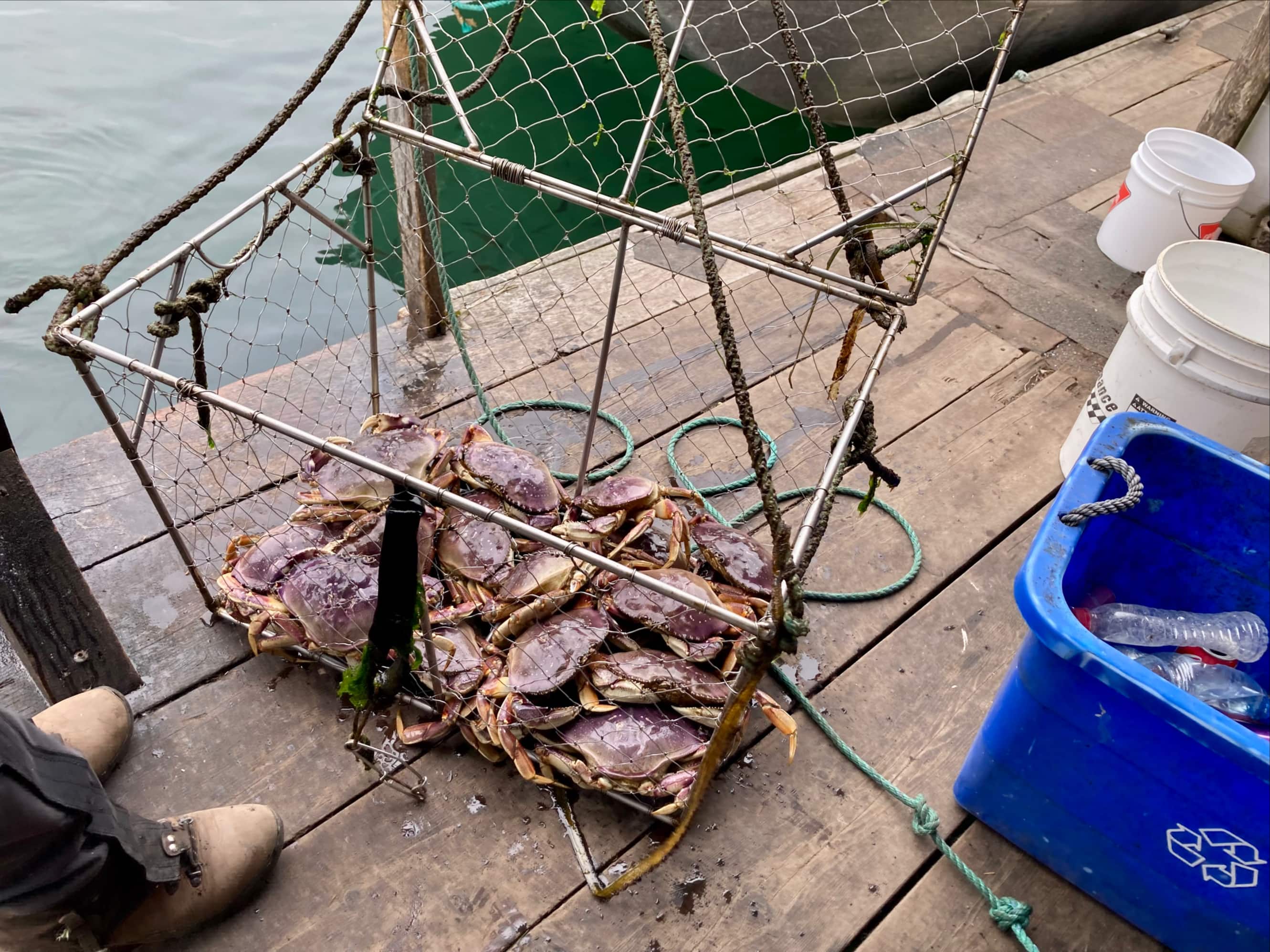
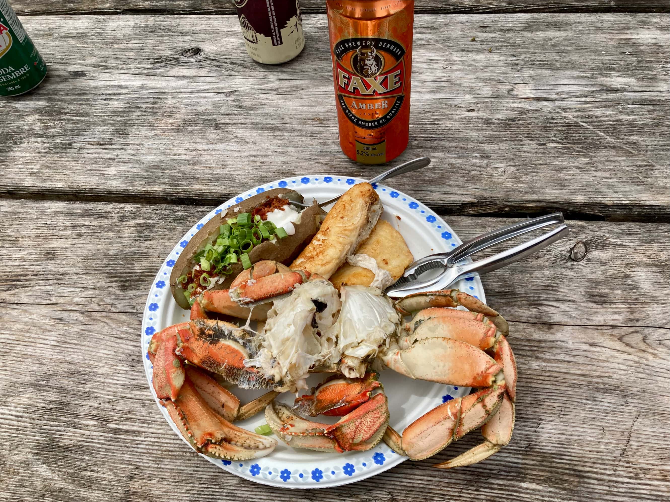
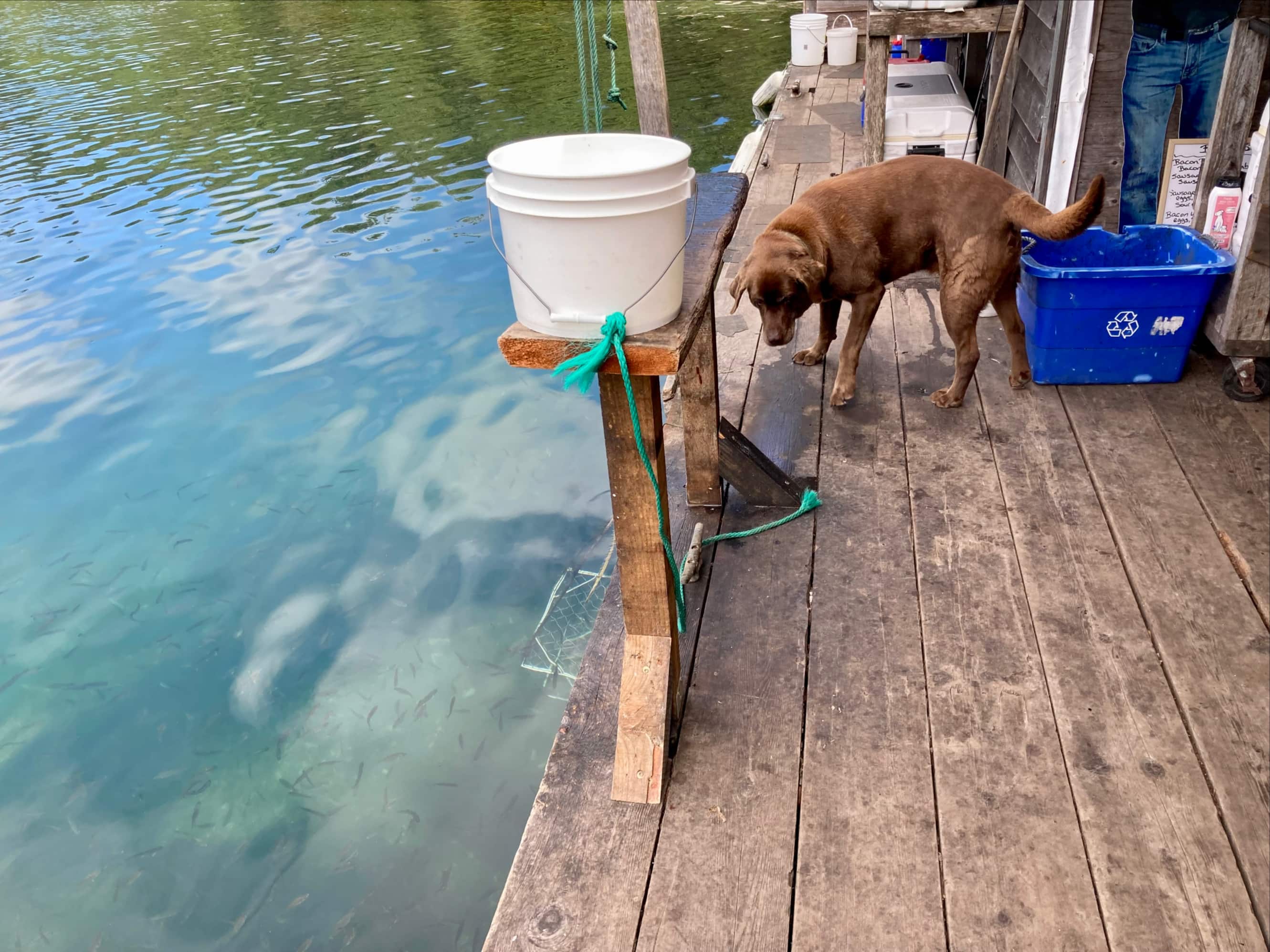
The Crab Shack and the ferry across Nitinaht Narrows is run by the Edgar family. We were greeted by a fellow known as Hippie-Doug (he had a name tag to that effect) and a couple of friendly dogs. I got my pack off and greeted the speedier hikers that had preceded me. In addition to the ladies, there was an American couple who were visiting from Washington state. I ordered some food (the “Nitinaht Ultimate JACKED”, the biggest plate of food on the menu) and cracked a beer. To my great shame, I forget the name of the lady working hard in the kitchen. She made us amazing food. As complete neophytes to the consumption of whole crab, Hippie-Doug’s coaching was essential to helping us get the most out of our meal. The clouds had moved off by that time, the sun was shining, and we enjoyed an idyllic lunch.
Doug let us know what to do: Step 1 was to get my pack off and leave it on this bench. Step 2 was to sanitize my hands. Step 3 was to get a beer.The crab was fresh-caught. Baskhar watched the pot come up and picked out his meal.Soon to be lunch.Lunch!The menu and notice board. Seriously, don’t feed the dogs.Once you’re finished eating, all the crab bits go directly into the water. The paper plate and any non-crab material like lemon rinds are then disposed of by the Crab Shack. When the crab bits hit the water, swarms of fish appear to snap up the food.A wider shot of the Crab Shack and pier that I took after lunch.
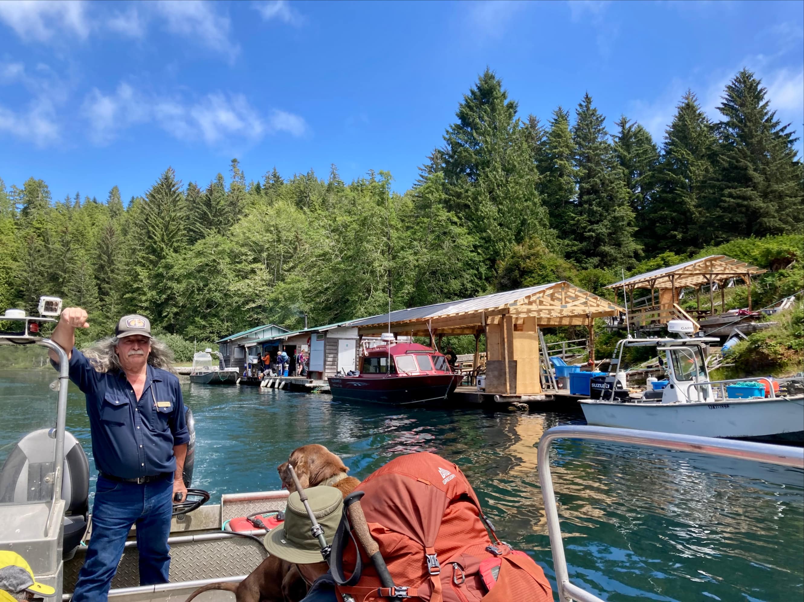
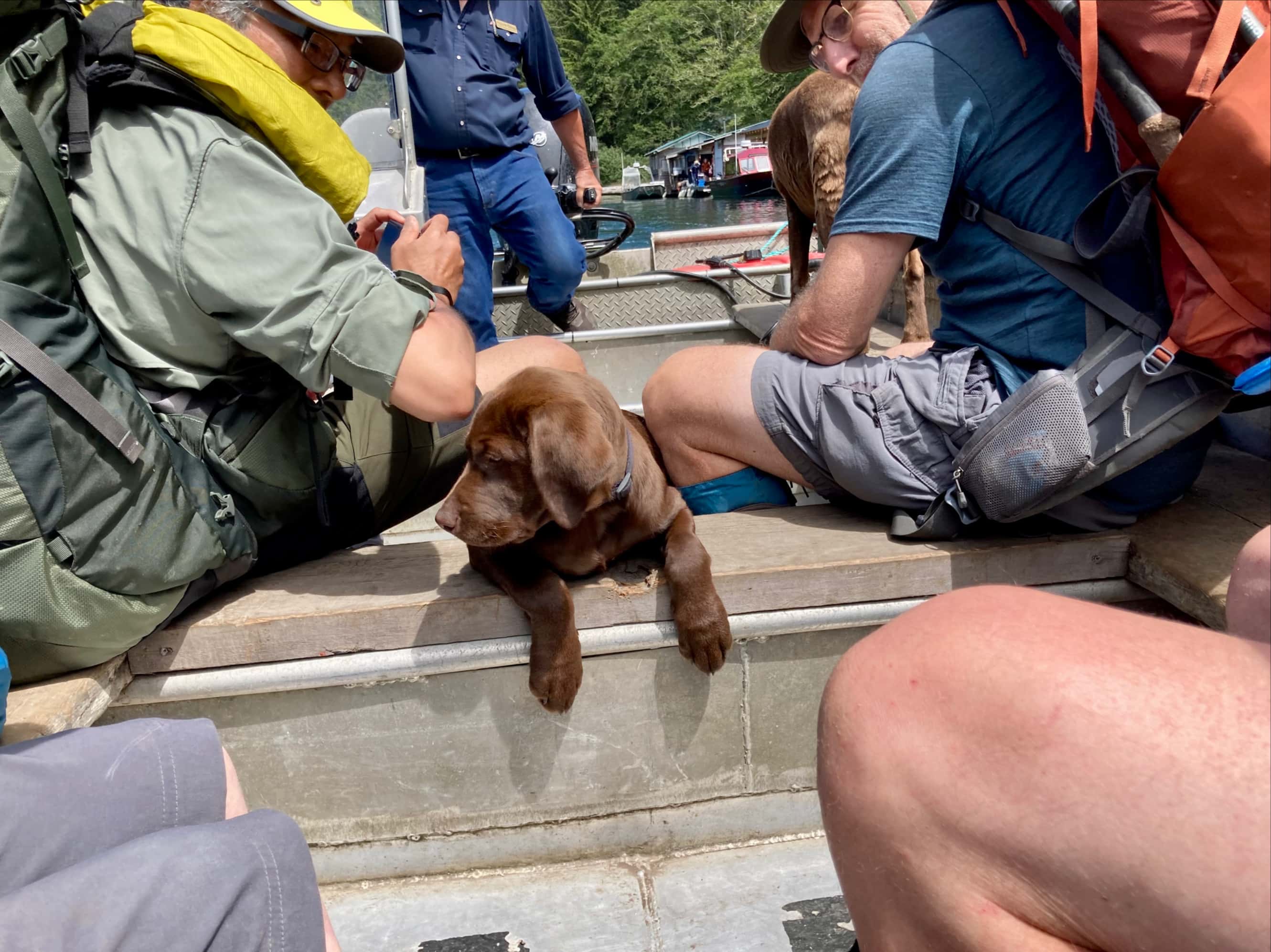
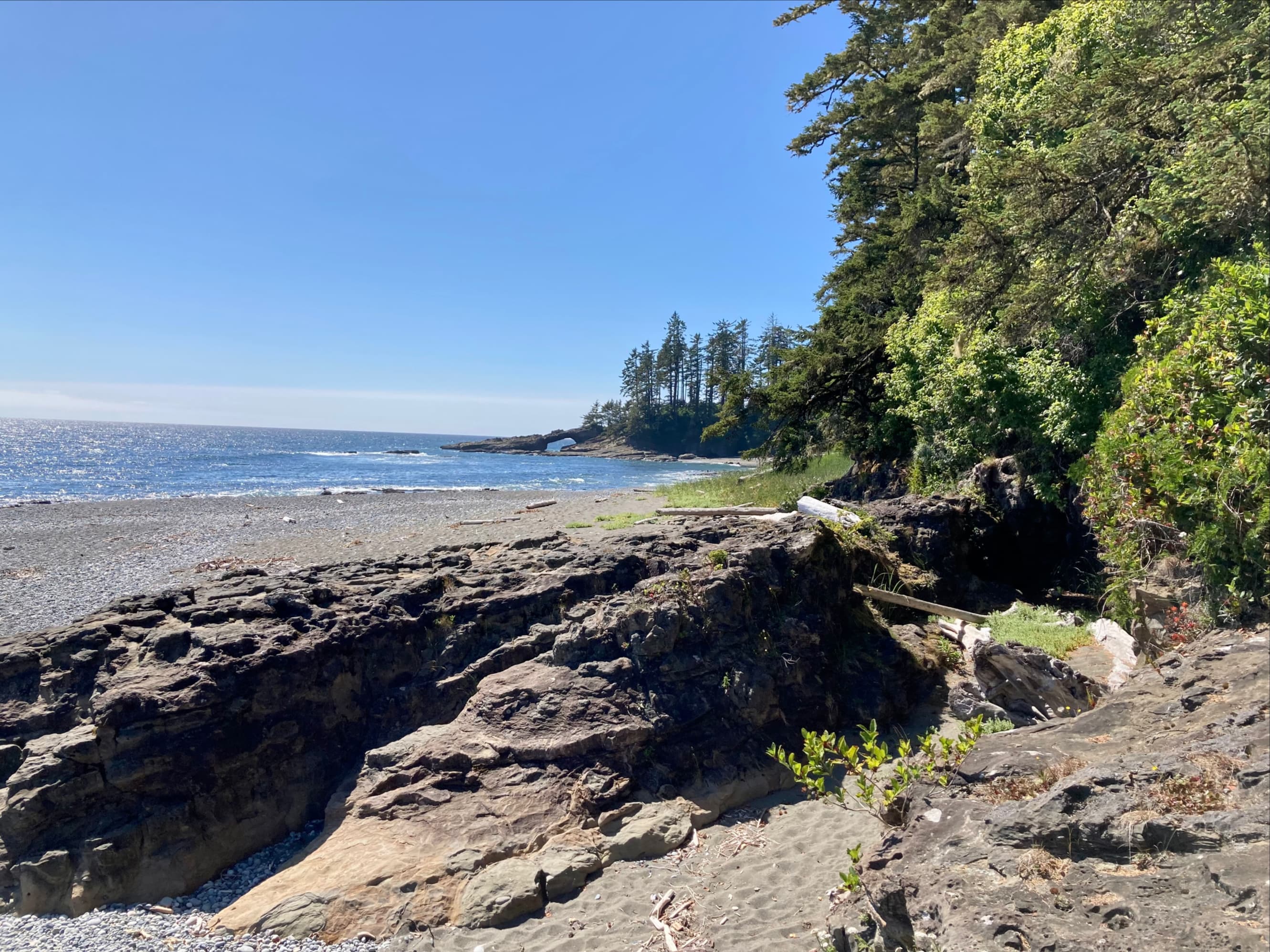
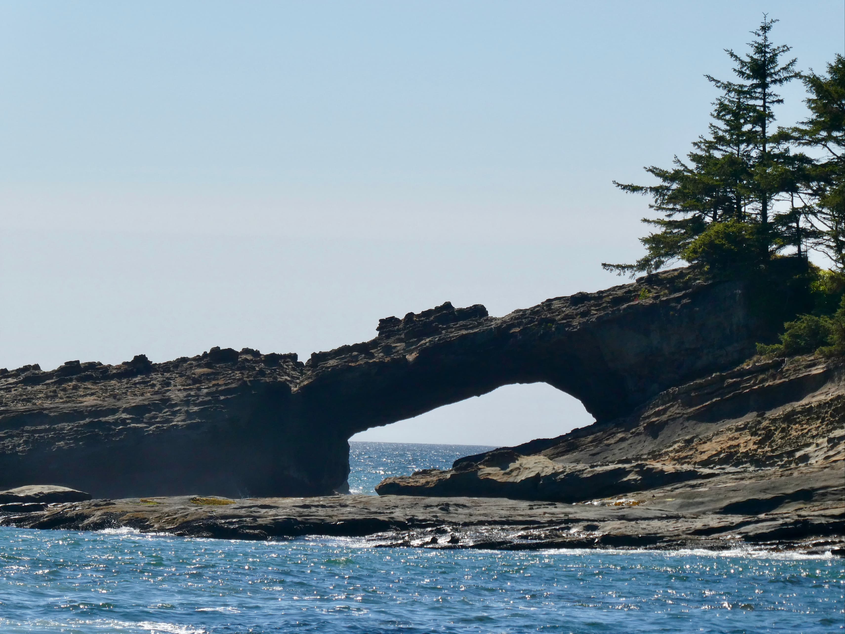
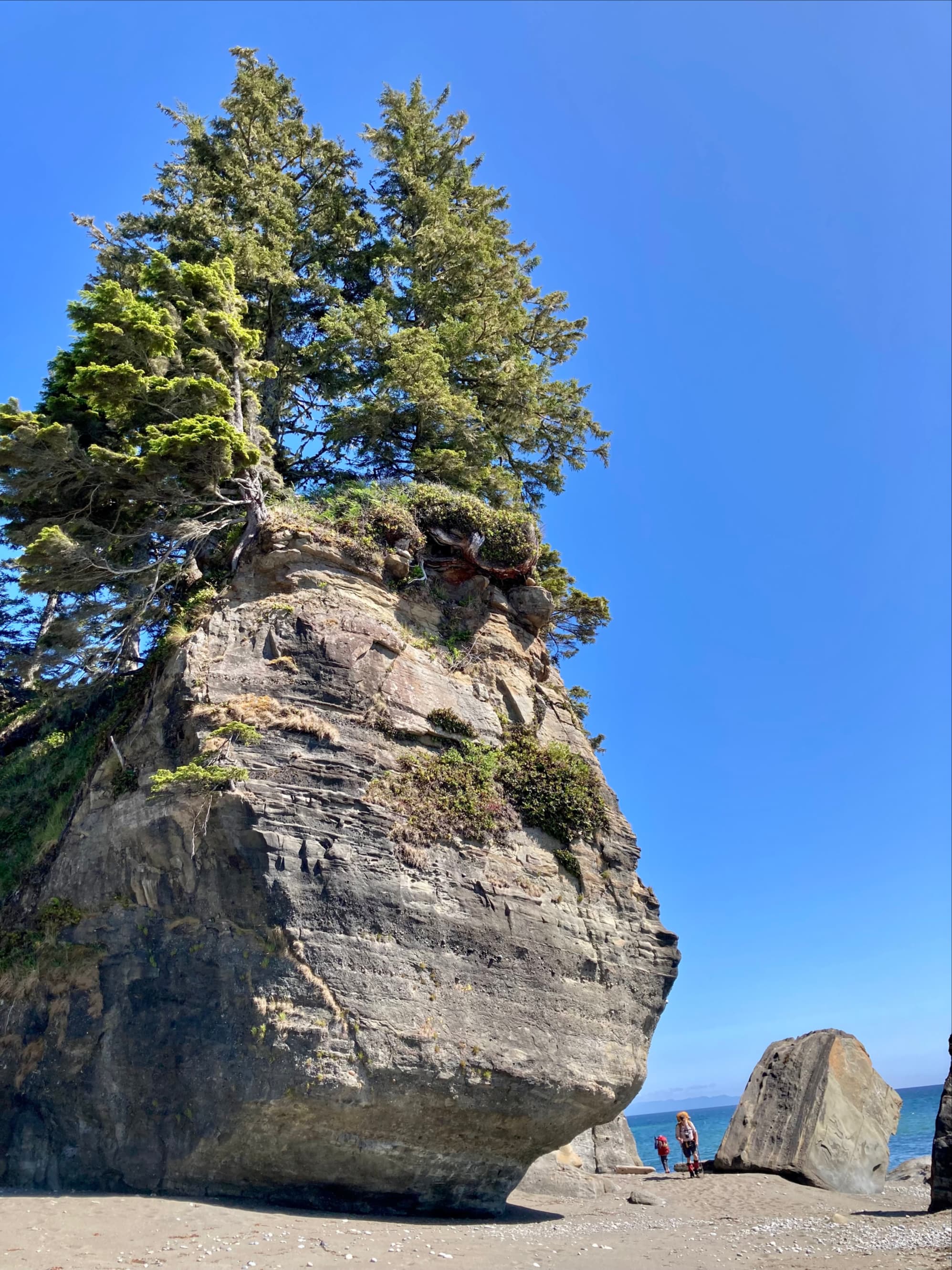
Once we’d eaten, Hippie-Doug (and the dogs) took us across the Narrows. We walked the forest trail for a couple of kilometres. The trail hugged the edge of the cliffs above the water so we got some really nice views. We got back to the beach just north of Tsuquadra Point. Soon, the rock arch of Tsusiat Point came into view. The tide was too high to go right up to the arch and we had to cut across the Point. Beyond there, we made good time all the way to Tsusiat Falls.
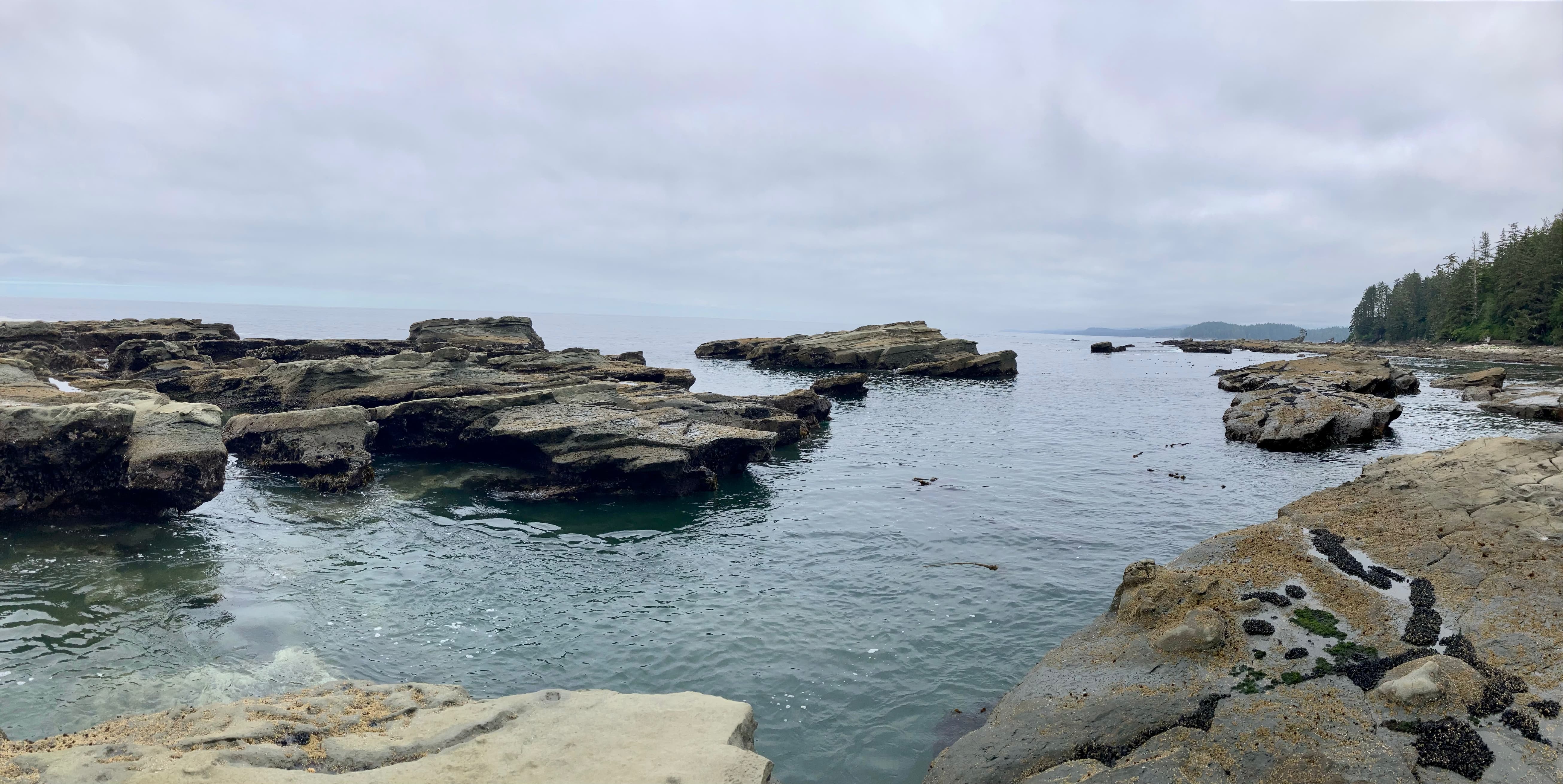
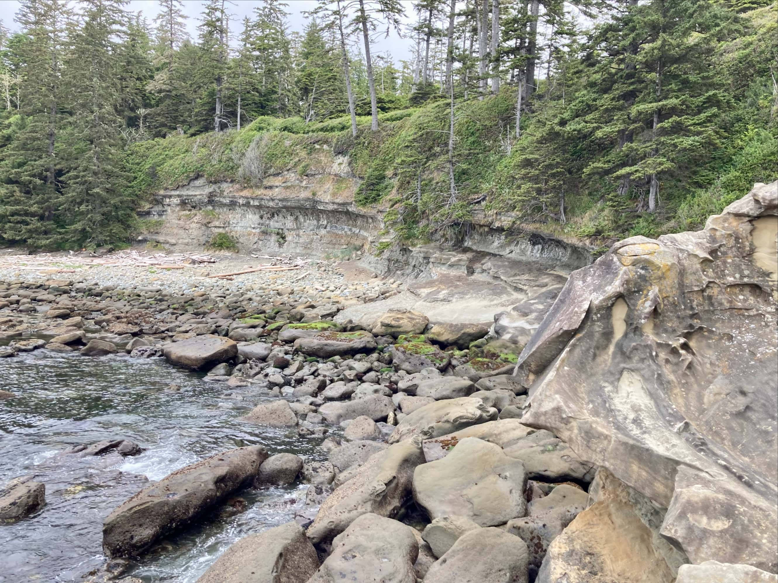
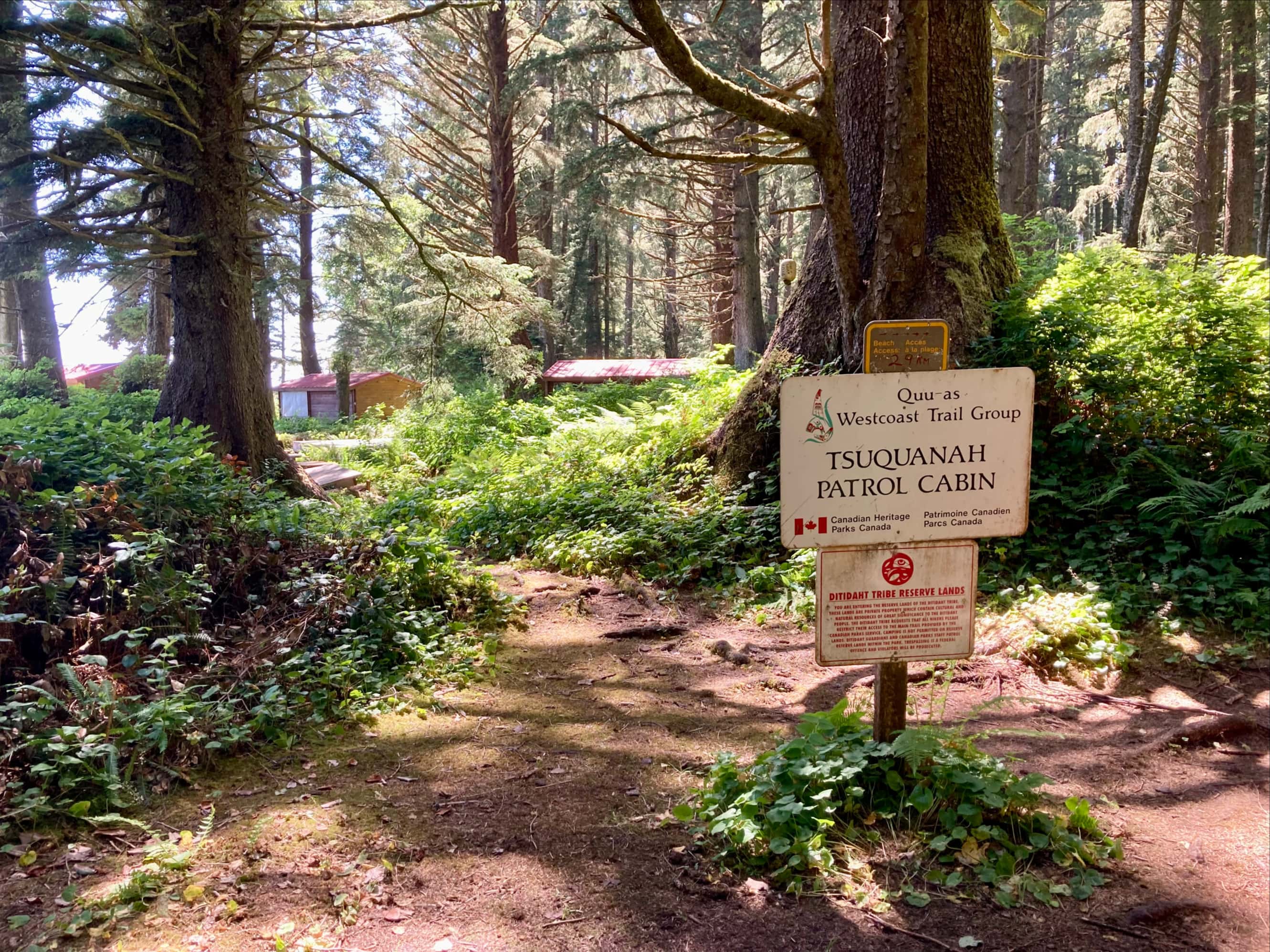
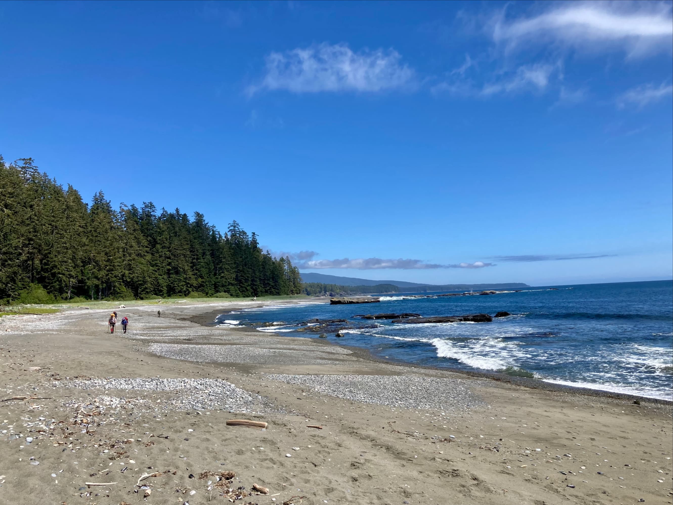
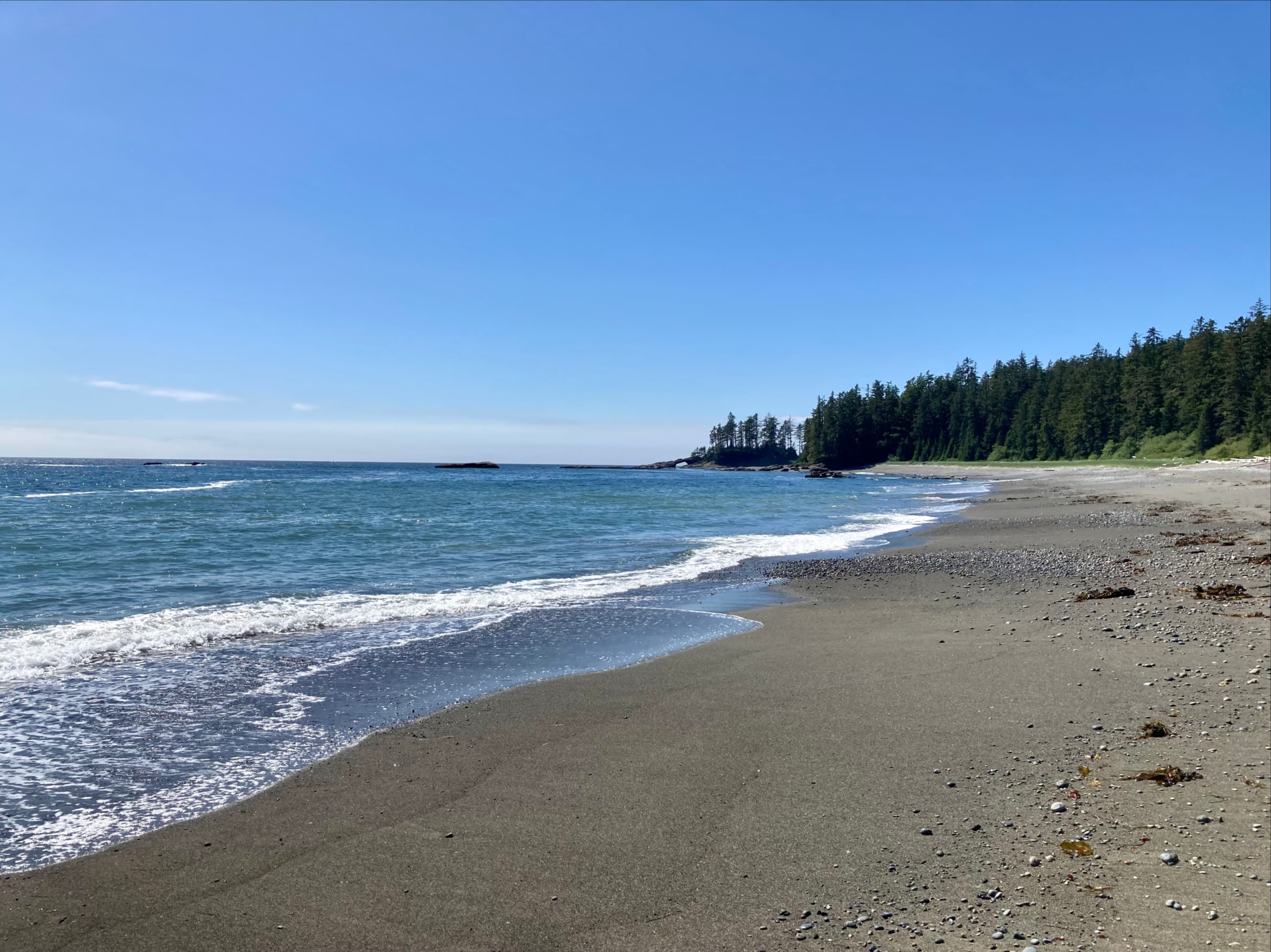
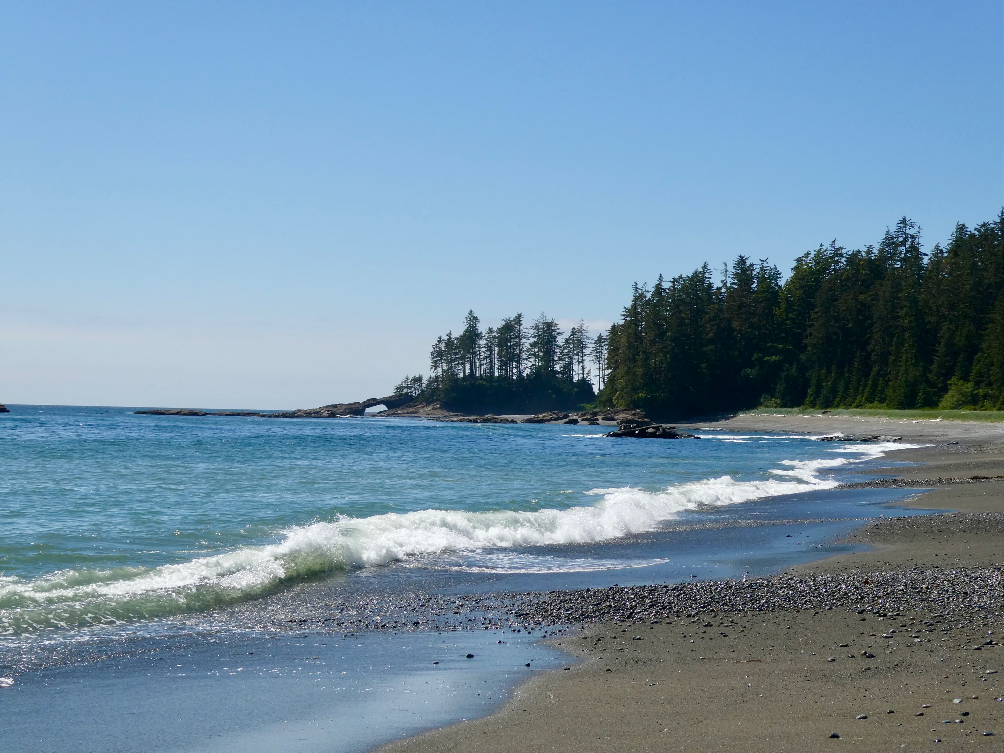
Hippie-Doug taking us across the Narrows.The puppy came along so he could learn the family business.I know someone had told me his name, but unfortunately I’ve forgotten. Maybe Duke?On the pier at the west side of the narrows. The ferry is speeding away back to the Crab Shack.Once we were back on the trail, it ascended and hugged the top of the cliffs overlooking the ocean.The weather remained ideal for hiking and the sunshine made the greens and blues shine.On some isolated areas of beach, where hikers didn’t go, we could see animal tracks.Looking back along the coast. In the far distance the Olympic Peninsula is visible.A very short section of beach just before Tsuquadra Point was walkable, so we dropped down and walked it. We had to go back into the woods up ahead where the sand ends.We only had to stay inland for a short section. We passed by the patrol cabin at Tsuquadra Point. There’s “luxury” camping available here but I’m not sure how one arranges that. Note the little sign telling you to continue along the trail to the right for beach access. The “29 km” written in marker refers to kilometre 29 of the trail, not how far away the beach access is. Back on the beach, looking back at Steve, Kathy, Conrad, and Bhaskar.Very quickly, the rock arch at Tsusiat Point came into view.A closer look at the arch.The weather was calm, but the sea was churning. While I waited for everyone to regroup I watched the water swirl and crash on the rocks.When we’d reached the rocks just before Tsusiat Point we could see buoys hanging from a tree indicating that you could climb up and over here.Everyone was moving steadily along. I did start to feel a little bit of urgency because of the tide.Up on the rocks. It wasn’t hard to go up and over and get back onto the sand and gravel.It seemed pretty clear that the tide was too high for us to go right up to or through the arch but wouldn’t be a hazard on this stretch of beach. A trail cut across the point through the gap in the trees to the right, so that’s the way we went.One more close-up shot of the arch.Looking back at Bhaskar and Steve after we’d cut across the Point.Looking ahead. Less than 2 km to Tsusiat Falls. The tide was creeping up the beach but we could see that we had plenty of time.Steve and Kathy coming around the cliffs.Steve, Kathy, and Bhaskar on the final stretch.Tsusiat Falls – its low flow reflecting the dryness of 2023.
We set up camp under the sun at Tsusiat Falls. Anna, Andrea, Danielle, and Morgan had beaten us there by quite a while and were already settled in. I took advantage of the sunny and dry conditions to let my wound air out a bit. It was roughly 4 days post-injury and it was looking pretty good. It was past the window where I was worried about an infection taking hold. With only 2 days left in the trip it was clear that we had ample supplies to continue on caring for it. All of this was a load off my mind. I sterilized my tweezers again and cleaned up some ragged skin at the edges.
We discussed the plan for the remainder of the trip that evening. Anna felt like finishing the rest of the trail, roughly 25km on the official map, in a one-day push. She moved very fast so that didn’t seem like it would be any problem for her. For the rest of us, doing the rest of the trail over 2 more relatively easy days was our preference. Anna would have to get moving very early, so we said our goodbyes and wished her luck before crawling into our tents to sleep.


Very interesting story of your west Coast Trail, Par.
<
div>I felt like I was following you along and was there
LikeLiked by 1 person